The best mountain hikes around Ronco Biellese
4.5
(6)
38
hikers
1
hike
Mountaineering around Ronco Biellese offers challenging routes through the Biellese Alps, characterized by high peaks, alpine lakes, and dense forests. The region features significant elevation gains, leading to panoramic views of the surrounding valleys and mountain ranges. These trails often traverse rugged terrain, including rocky paths and exposed sections, typical of the pre-alpine environment.
Best mountaineering routes around Ronco Biellese
- The most popular mountaineering route is Monte Camino – Rifugio Rosazza loop from Oropa, an 8.4 miles (13.4 km)…
Last updated: September 28, 2026
4.0
(3)
16
hikers
13.6km
06:37
1,090m
1,090m
Hard mountaineering route. Very good fitness required. Sure-footedness, sturdy shoes and alpine experience required.
4.5
(2)
15
hikers
13.2km
06:30
1,090m
1,090m
Hard mountaineering route. Very good fitness required. Sure-footedness, sturdy shoes and alpine experience required.

5.0
(1)
7
hikers
5.33km
02:07
280m
270m
Moderate mountaineering route. Good fitness required. Mostly accessible paths. Sure-footedness required.
Our route recommendations are based on thousands of hikes, rides, and runs completed by other people on komoot.
Start today with a free account
Your next adventure awaits.
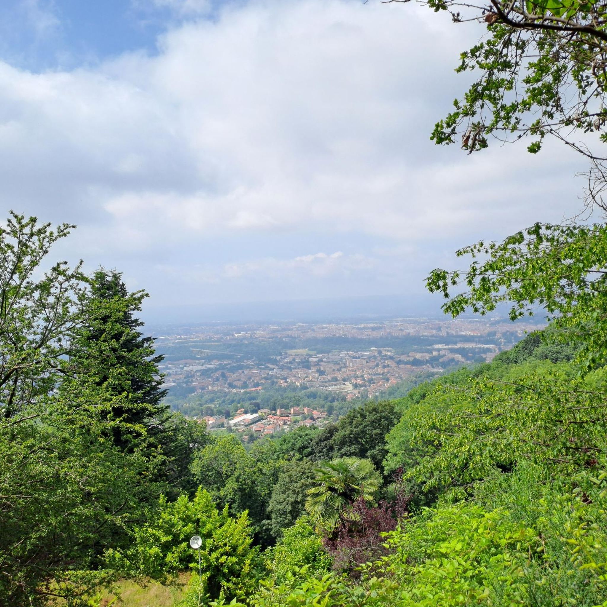
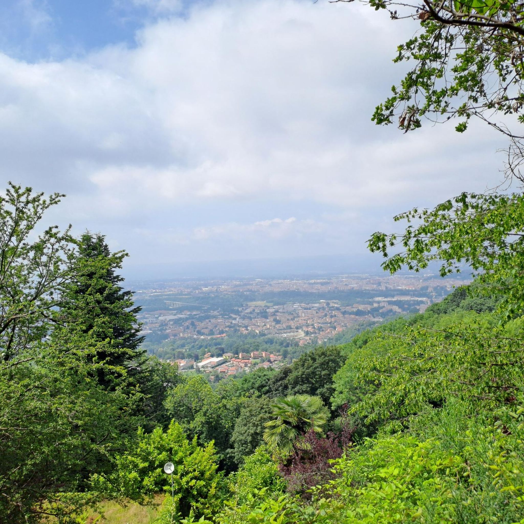
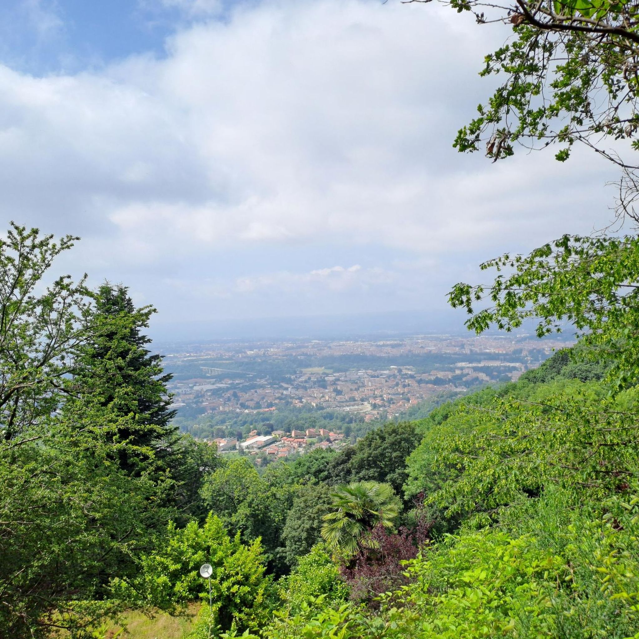
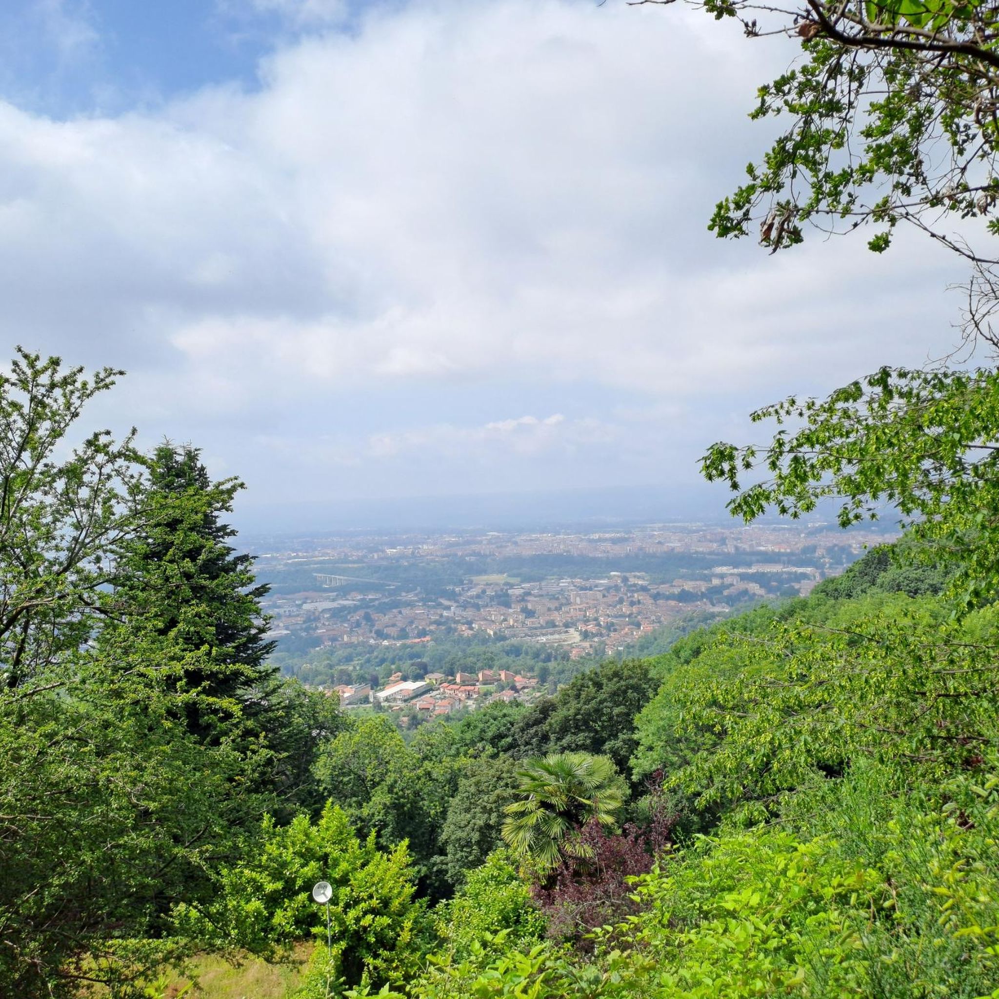


Tips from the Community


glacial lake that gives rise to the Oropa stream
0
0
built in 1936 and restored in 2006
0
0
arrival station and panoramic view of the Sanctuary
0
3
beautiful dirt road with dry stone walls and natural ground (without added gravel)
0
3
at the end of 2025 the dirt road track was improved and made passable by off-road vehicles and bikes, with the elimination and covering of the previous ford on the Oropa
0
0

Beautiful view that goes around the mountain, only for very expert MTBs. The path is very exposed and dangerous with many stones and rocks. If done on foot, it takes at least half an hour.
0
0
it is located at Alpe Pissa
0
1
Frequently Asked Questions
How many mountaineering routes are available around Ronco Biellese?
There are 5 mountaineering routes listed around Ronco Biellese, offering a range of experiences through the Biellese Alps.
Are there any beginner-friendly mountaineering routes in Ronco Biellese?
While the region is primarily known for challenging routes, there is one moderate mountaineering option: the Poggio Canajone – Rocca d'Argimonia loop from Oasi Zegna. This route covers 5.2 km with 274 meters of elevation gain, making it a good choice for those seeking a less strenuous experience.
What is the best time of year for mountaineering in Ronco Biellese?
The best time for mountaineering in Ronco Biellese is typically from late spring to early autumn (May to October), when trails are generally free of snow and weather conditions are more stable. Always check local weather forecasts before heading out.
Are there any circular mountaineering routes in the area?
Yes, several routes are circular. For example, you can explore the Monte Camino – Rifugio Rosazza loop from Oropa, which is a difficult 13.4 km trail, or the Monte Mucrone Summit – Lake Mucrone loop from Oropa, covering 13.1 km through alpine landscapes.
What kind of views can I expect on these mountaineering routes?
Mountaineering routes in Ronco Biellese offer panoramic views of the surrounding valleys and mountain ranges, including high peaks and alpine lakes. Notable viewpoints include Panoramica Zegna and the stunning View of Monte Rosa and Corno Bianco from Bocchetta di Margosio.
Are there any natural attractions or landmarks along the routes?
Yes, the region is rich in natural beauty. You might encounter highlights such as the Bocchetto Sessera Pass, the Baraggia di Candelo – Baragge Nature Reserve, or the serene Burcina Park, which features dense forests.
What is the typical duration for these mountaineering routes?
The duration varies depending on the route's difficulty and length. For instance, the difficult Lago del Camino – Lago Barma superiore loop from Oropa can take around 7 hours 37 minutes, while the moderate Poggio Canajone – Rocca d'Argimonia loop from Oasi Zegna is typically completed in about 1 hour 52 minutes.
What do other mountaineers say about the routes in Ronco Biellese?
The mountaineering routes in Ronco Biellese are highly rated by the komoot community, with an average score of 4.75 stars from around 6 reviews. Users often praise the challenging ascents, alpine lakes, and panoramic summit views characteristic of the Biellese Alps.
Are there options for advanced mountaineers seeking a challenge?
Absolutely. The region is well-suited for experienced mountaineers. Routes like the Monte Tovo – Bocchetta di Finestra loop from Oropa, with its significant elevation gain and rugged terrain, offer a demanding experience typical of the pre-alpine environment.
Is public transport available to reach the trailheads?
While specific public transport details for each trailhead are not provided, many routes start from Oropa, which is a known destination. It's advisable to check local bus schedules or regional transport options to Oropa or other starting points before planning your trip.
What kind of terrain should I expect on these mountaineering routes?
Expect rugged terrain, including rocky paths and potentially exposed sections, especially on the more difficult routes. The Biellese Alps are characterized by significant elevation gains, high peaks, and dense forests, requiring appropriate footwear and preparation.
Most popular routes around Ronco Biellese
Most popular attractions around Ronco Biellese

Get inspired with the komoot mobile app


Explore more
Browse the best Mountain Hikes & Routes in other regions.
