The best waterfall hikes and walks in Queyras
4.6
(7548)
62,458
hikers
8
hikes
Waterfall hiking trails in Queyras are found within a diverse landscape characterized by high mountain peaks, deep gorges, and extensive larch forests. The region, part of the French Alps, features the Guil River basin, which has carved dramatic gorges and supports numerous streams and cascades. Hikers can expect varied terrain, from open mountain pastures to dense woodlands, with elevations reaching over 3000 meters. This unique blend of ecosystems provides a rich environment for exploring Queyras's natural features.
Best waterfall hiking…
Last updated: July 7, 2026
4.5
(4)
22
hikers
5.36km
02:42
430m
420m
Moderate hike. Good fitness required. Mostly accessible paths. Sure-footedness required.
4.5
(17)
49
hikers
11.1km
02:49
30m
30m
Moderate hike. Good fitness required. Easily-accessible paths. Suitable for all skill levels.

Sign up for free
4.5
(6)
26
hikers
3.85km
01:04
60m
70m
Easy hike. Great for any fitness level. Easily-accessible paths. Suitable for all skill levels.
4.0
(3)
7
hikers
4.35km
01:19
150m
140m
Easy hike. Great for any fitness level. Easily-accessible paths. Suitable for all skill levels.
4.8
(5)
24
hikers
14.0km
06:46
1,190m
1,190m
Embark on the difficult Cima Bardia – loop tour in Valle Varaita, an 8.7-mile (14.0 km) hike that challenges you with 3912 feet (1192 metres) of elevation gain over approximately…
Get access to more routes and recommendations from other explorers.
Sign up for free
Already have an account?
Our route recommendations are based on thousands of hikes, rides, and runs completed by other people on komoot.
Start today with a free account
Your next adventure awaits.
Login or Signup
Popular around Queyras
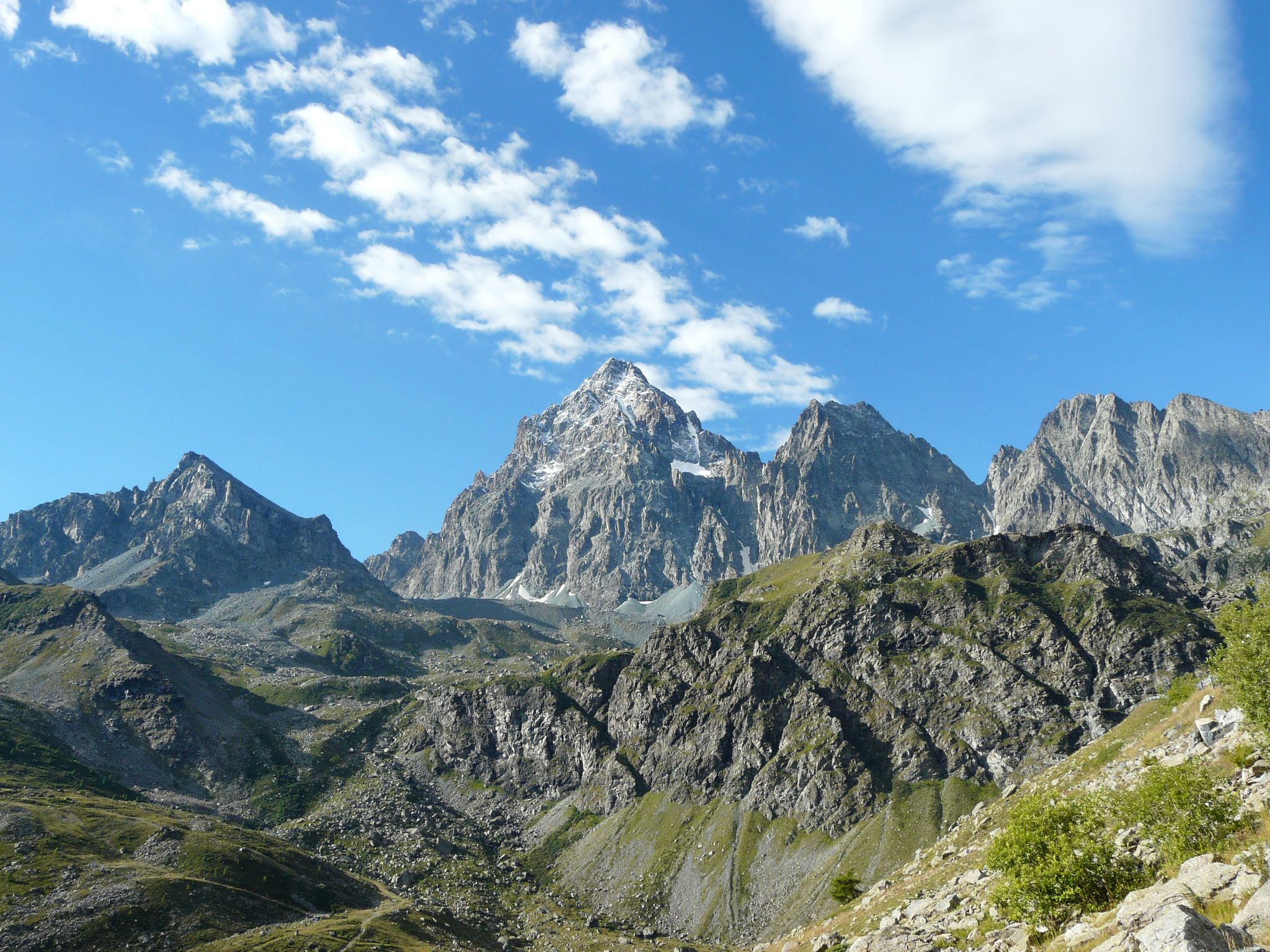
Tour di Viso – Four days around the Stone King from Castello
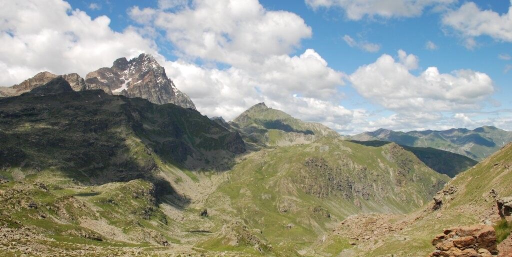
Tour di Viso – Four days around the Stone King from Meire Dacant
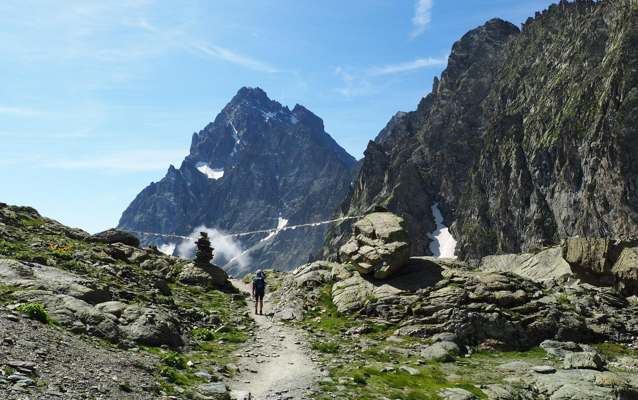
On the trails of the Stone King – trekking among the huts of Monviso
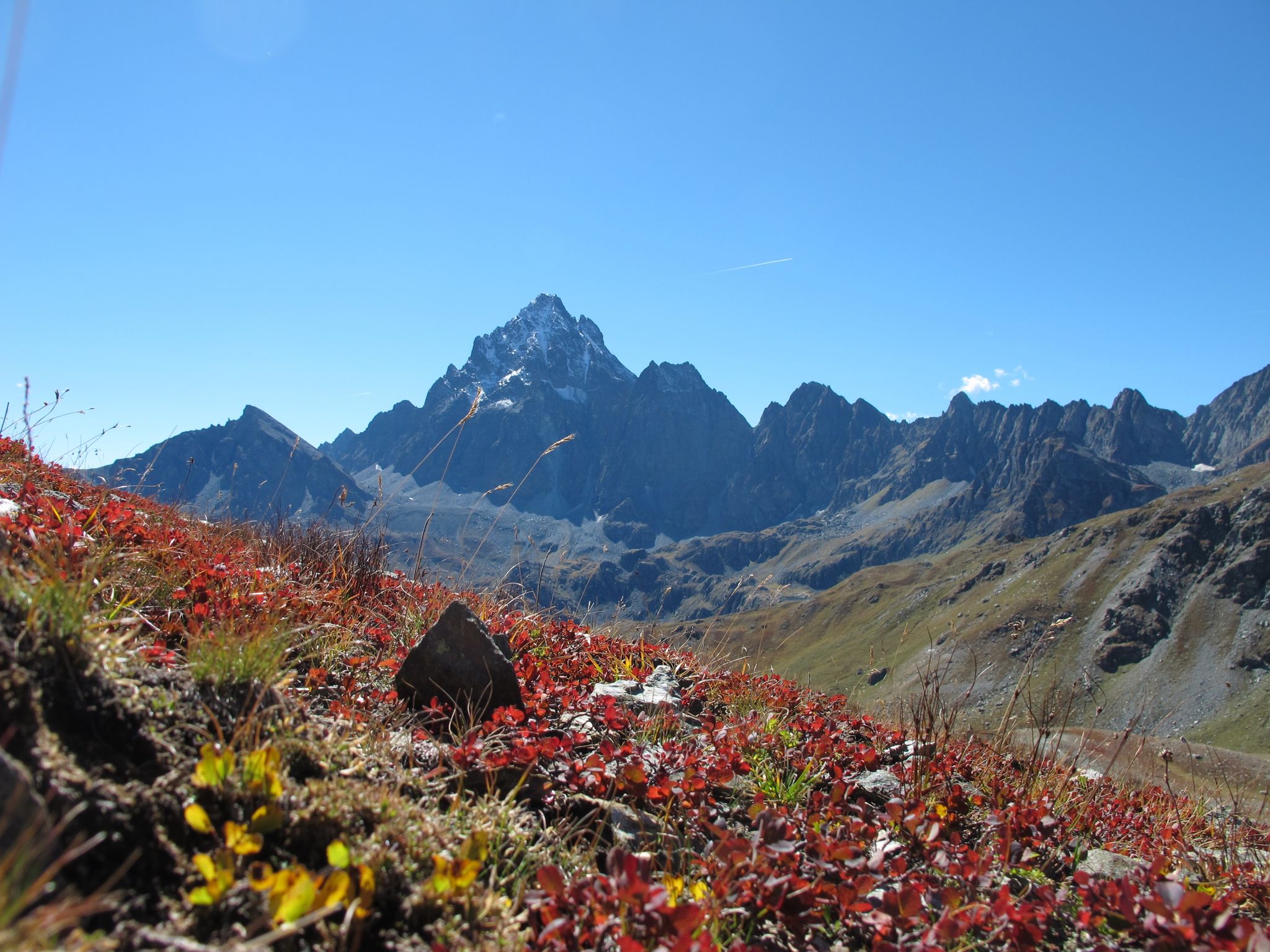
Three days around il Re di Pietra ─ Giro di Viso from Castello

8 hikes in the Hautes-Alpes — mountain passes and high-altitude lakes
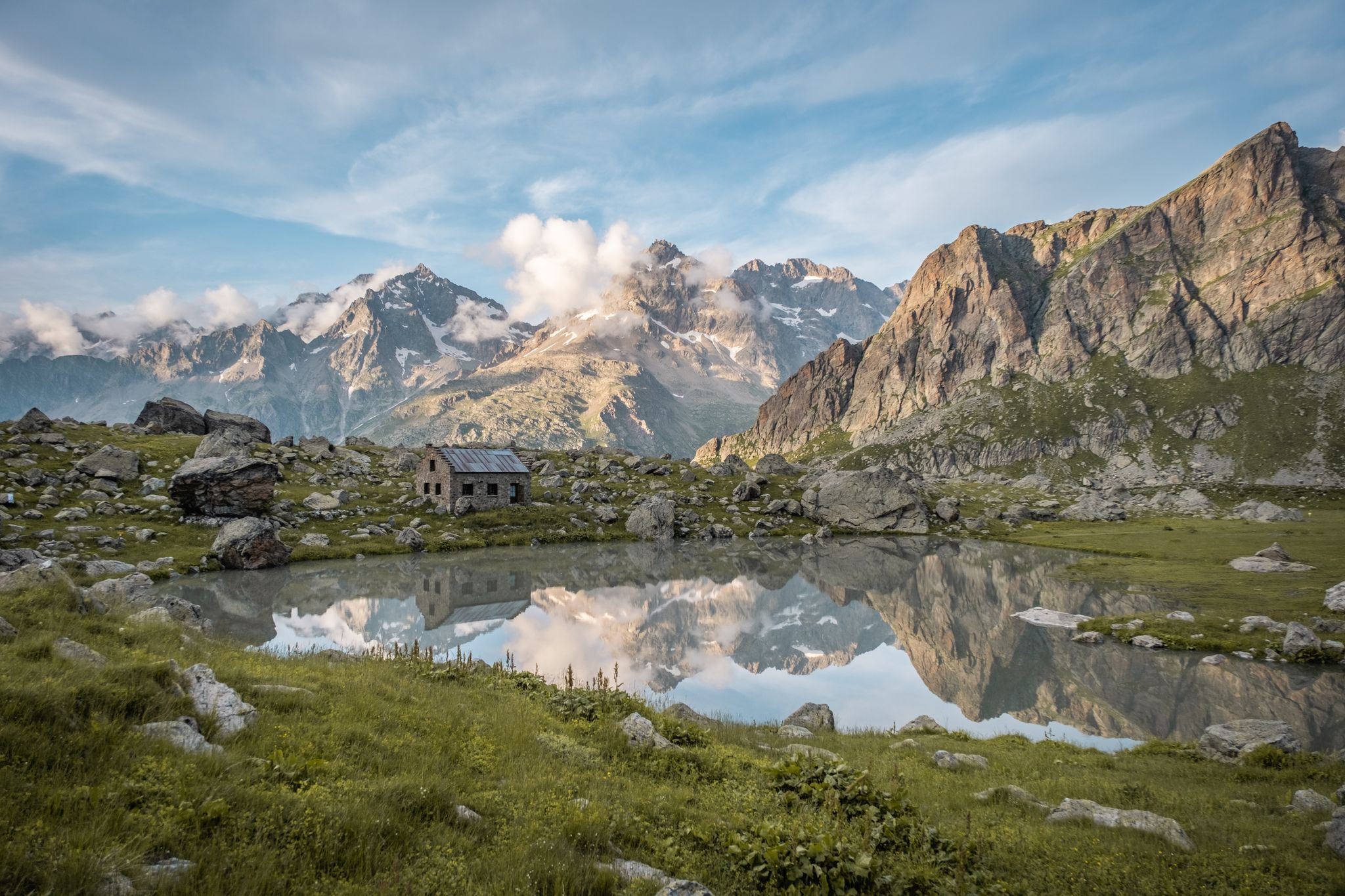
Seven hikes in France’s Southern Alps – refuges and high peaks

Hike from Saint-Étienne-de-Tinée to Briançon – Europe Trail (GR 5)

High mountain escapades — 15 peaks over 3,000m in the Alps
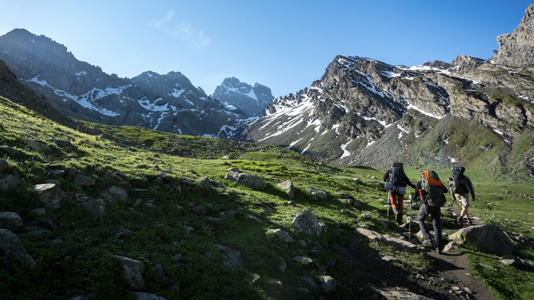
At the foot of the Stone King — hiking around Italy's Mount Viso

Transalps MTB – Chamonix to the Mediterranean Sea
Other adventures in Queyras


Tips from the Community

Among the many points of interest of this place, registered among the most beautiful villages in Italy, are the numerous frescoes scattered throughout the country. Worth noting.
0
0
One of the two churches on the main square of Chianale, near the bridge. Worth it.
0
0
Registered among the most beautiful villages in Italy, and for good reason. A pearl set in the majestic scenery of the Cottian Alps, all restored and cleaned up. A dream village.
0
0
Part of the 'Most Beautiful Villages of Italy' circuit, and for good reason. A pearl set in the majestic scenery of the Cottian Alps, all restored and cleaned up. A dream village.
0
0
Registered among the most beautiful villages in Italy, and for good reason. A pearl set in the majestic scenery of the Cottian Alps, all restored and cleaned up. A dream village.
0
0

Beautiful landscapes on the Via Domizia
0
0

The last village on the Italian side is a very well-preserved village with cobbled streets, beautiful and well-decorated houses, and a couple of places where you can eat or have a drink. It is worth stopping to refuel and take a photo at the village fountain before tackling the very tough 10 km stretch to the summit. It is also a good place to have a sandwich or something at lunchtime.
0
0
Frequently Asked Questions
How many waterfall hiking trails are available in Queyras?
Queyras offers a diverse selection of waterfall hiking trails. According to komoot data, there are 10 distinct waterfall hiking routes in the region, catering to various preferences and skill levels.
What is the best time of year to explore waterfall hikes in Queyras?
The Queyras region benefits from a dry, continental climate, offering around 300 days of sunshine annually. The best time for waterfall hikes is generally from late spring to early autumn (May to October). In late June and early July, you can also witness the vibrant Alpine flowers in bloom. Autumn is particularly stunning with the larch forests turning golden.
Are there family-friendly waterfall hikes in Queyras?
Yes, Queyras has several easy trails suitable for families. For instance, the Eygliers Lake – Pietrificazione loop from Mont-Dauphin is an easy 2.4-mile (3.8 km) trail that can be completed in just over an hour, offering varied terrain that's manageable for most ages.
Can I bring my dog on waterfall trails in Queyras?
Many trails in Queyras are dog-friendly, but it's always recommended to check specific route details and local regulations, especially within the Queyras Regional Natural Park. Generally, dogs should be kept on a leash to protect local wildlife and livestock.
What kind of terrain can I expect on waterfall hikes in Queyras?
Queyras offers a remarkable variety of landscapes. You can expect to traverse flower-filled mountain pastures, dense larch forests, wild ridges, and areas with impressive rock formations carved by the Guil River. Trails can range from gentle paths to more rugged ascents, often leading to stunning viewpoints of the surrounding peaks and gorges.
Are there any circular waterfall routes in Queyras?
Yes, many of the waterfall hikes in Queyras are designed as loops, allowing you to start and end at the same point. An example is the View of Chianale – Chianale loop from Chianale, a moderate 3.3-mile (5.3 km) trail that offers beautiful alpine scenery.
What are some notable natural features or attractions near Queyras's waterfall trails?
Beyond the waterfalls themselves, the Queyras region is rich in natural beauty. You might encounter stunning alpine lakes like Lake Miroir or Lac de la Blanche. The dramatic Gorges du Guil, carved by the Guil River, are a significant feature. For panoramic views, consider exploring nearby mountain passes such as Col d'Izoard or Colle dell'Agnello - Col Agnel. The region is also home to iconic peaks like Pain de Sucre Summit.
How can I reach the waterfall hiking trailheads using public transport?
While Queyras is known for its natural, somewhat remote feel, some villages and trailheads are accessible by public transport, especially during peak season. It's advisable to check local bus schedules, particularly for services connecting larger towns like Mont-Dauphin or Guillestre to the smaller villages within the park. Planning ahead is key for public transport access.
Is parking available near the waterfall hiking trails?
Yes, parking is generally available near popular trailheads and villages in Queyras. Many routes, such as those starting from Mont-Dauphin, have designated parking areas. However, during peak season, these can fill up quickly, so arriving early is recommended.
What are the difficulty levels of waterfall hikes in Queyras?
The waterfall hikes in Queyras cater to a range of abilities. Komoot data indicates that there are 7 easy routes, 2 moderate routes, and 1 difficult route. This means you can find everything from gentle strolls to more challenging ascents, often with significant elevation changes as you explore the mountainous terrain.
What makes the Queyras region unique for waterfall hiking?
Queyras stands out due to its exceptional preservation and diverse ecosystems. It offers a quieter, more authentic Alpine experience compared to other regions. The combination of dramatic gorges carved by the Guil River, extensive larch forests, and high peaks creates a stunning backdrop for numerous cascades. Its unique blend of Mediterranean and Alpine flora also adds to its distinct character.
What do other hikers say about the waterfall trails in Queyras?
The waterfall trails in Queyras are highly rated by the komoot community, with an impressive average score of 4.7 stars from over 2,100 reviews. Hikers often praise the region's untouched natural beauty, the variety of landscapes, and the well-maintained paths that lead to spectacular waterfalls and viewpoints.
Are there any specific waterfalls I should look out for in Queyras?
While the guide focuses on the overall experience, the Queyras region is known for its numerous cascades fed by the Guil River basin. Specific mentions in local lore include the 'Cascade d'Alleyras' and 'Cascade de Lanchâtra', which are popular points of interest for those seeking out impressive water features.
Most popular routes in Queyras
Most popular attractions in Queyras

Get inspired with the komoot mobile app


Explore more
Browse the best Hikes in other regions.
