The best waterfall hikes and walks around Thirlmere
4.6
(19299)
178,040
hikers
113
hikes
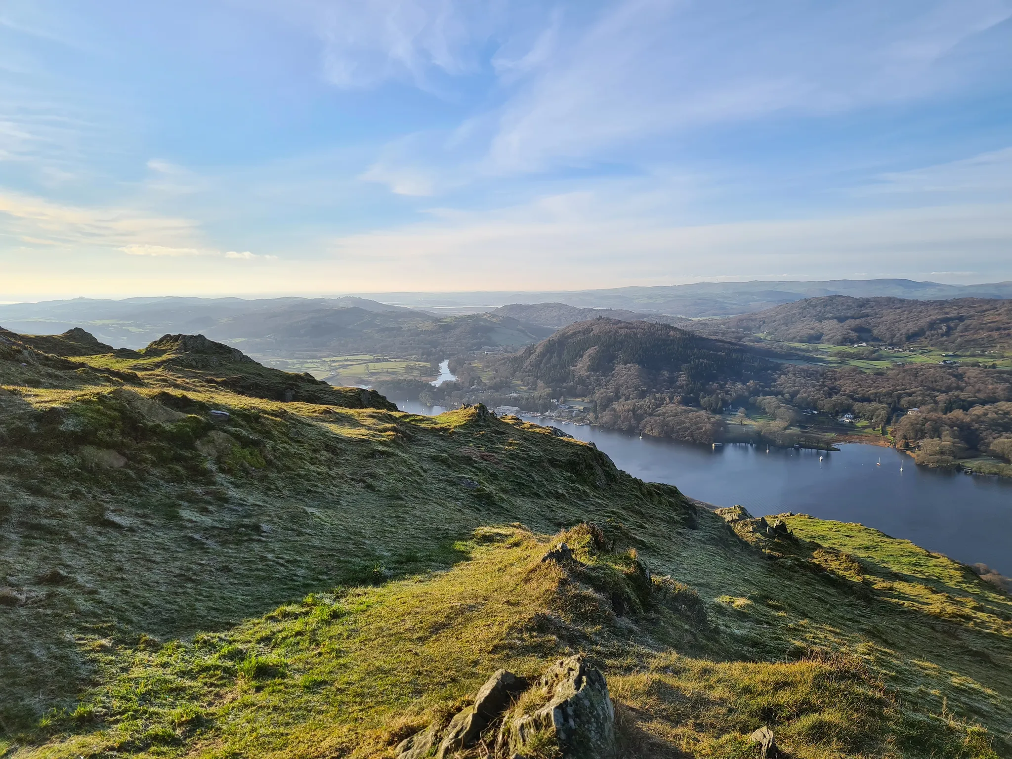
Waterfall hiking trails around Thirlmere are set within the Lake District's dramatic landscapes, characterized by the expansive Thirlmere reservoir flanked by the imposing Helvellyn range and the Central Fells. The region features dense coniferous woodlands, towering fells, and numerous gills and streams that create a variety of waterfalls. This terrain offers a diverse range of hiking experiences, from tranquil forest paths to challenging mountain ascents.
Best waterfall hiking trails around Thirlmere
- The most popular waterfall hiking route is Helvellyn Lower…
Last updated: September 29, 2026
4.7
(18)
148
hikers
Moderate hike. Good fitness required. Easily-accessible paths. Suitable for all skill levels.
4.2
(18)
90
hikers
Moderate hike. Good fitness required. Easily-accessible paths. Suitable for all skill levels.

5.0
(1)
35
hikers
19.9km
06:58
1,040m
1,030m
Hard hike. Very good fitness required. Mostly accessible paths. Sure-footedness required.
24
hikers
Easy hike. Great for any fitness level. Easily-accessible paths. Suitable for all skill levels.
15
hikers
2.93km
01:03
170m
170m
Easy hike. Great for any fitness level. Easily-accessible paths. Suitable for all skill levels.
Get access to more routes and recommendations from other explorers.
Already have an account?
Our route recommendations are based on thousands of hikes, rides, and runs completed by other people on komoot.
Other adventures around Thirlmere

Tips from the Community

Dollywaggon Pike is a great summit, and it is the southernmost peak on the Helvellyn Ridge. You have Nethermost Pike immediately to the north of you. There is a subsidiary top between Nethermost and Dollywaggon Pikes named High Crag. You have great views from the small cairn at the summit and see down the Grisedale Valley and the peaks of Fairfield and St Sunday Crag.
0
0

Who doesn't love a spectacular water fall.
0
0

White Side 863m / 2830ft is situated to the east of Thirlmere and to the west of Glenridding valley
0
0
A great view across to Helvellyn, Swirral Edge and Striding Edge
0
0
Frequently Asked Questions
How many waterfall hiking trails are there around Thirlmere?
Thirlmere offers a wide variety of hiking experiences, with over 100 trails available. These range from easy strolls through woodlands to demanding mountain ascents, many of which feature beautiful waterfalls and gills.
Are there any easy waterfall hikes around Thirlmere suitable for beginners or families?
Yes, Thirlmere caters to all abilities. For an easier option, consider the Swirls Car Park loop from St. John's Castlerigg and Wythburn. This easy 3.5 km (2.2 miles) hike takes just over an hour and features gentle paths, making it suitable for those seeking a less strenuous walk with scenic views.
What kind of scenery can I expect on waterfall hikes near Thirlmere?
Waterfall hikes around Thirlmere are set within the Lake District's dramatic landscapes. You'll encounter the expansive Thirlmere reservoir, flanked by the imposing Helvellyn range and the Central Fells. The region features dense coniferous woodlands, towering fells, and numerous gills and streams that create a variety of waterfalls, offering a mix of tranquil forest paths and open fell scenery.
Are there any circular waterfall walks in the Thirlmere area?
Many of the trails around Thirlmere are designed as circular routes, allowing you to experience diverse scenery without retracing your steps. For example, the View of Great How – Stybeck Waterfall loop from St. John's Castlerigg and Wythburn is a moderate 8 km (5 miles) circular path that features views of Great How and passes by Stybeck Waterfall.
Can I bring my dog on waterfall hikes in Thirlmere?
Yes, many trails in the Thirlmere area are dog-friendly. However, as Thirlmere is a working landscape with sheep and other livestock, it's essential to keep dogs under close control, preferably on a lead, especially during lambing season. Always follow the Countryside Code to ensure a safe and enjoyable experience for everyone.
What are some interesting natural features or attractions to see along the waterfall trails?
Beyond the waterfalls themselves, you can explore several notable features. The Launchy Gill Waterfall and Thirlmere Western Shore offers a nice spot to stop, while Hawes How Island provides an interesting point of interest on the reservoir. The trails also offer stunning views of the surrounding fells, including the Helvellyn range.
What do other hikers enjoy most about hiking in Thirlmere?
The area is highly rated by the komoot community, with an average score of 4.6 stars from more than 16,000 reviews. Reviewers often praise the dramatic mountain scenery, tranquil reservoir views, and dense woodlands, highlighting the variety of well-maintained trails suitable for different abilities.
Are there any challenging waterfall hikes for experienced hikers?
Absolutely. For those seeking a more demanding adventure, the Thirlmere area offers routes into the high fells. The Dollywaggon Pike Summit – Helvellyn Summit loop from Wythburn Church is a challenging 19.9 km (12.4 miles) trail leading through high fells and mountain ridges, often completed in about 7 hours, offering spectacular views and significant elevation gain.
Is there parking available for waterfall hikes around Thirlmere?
Yes, there are several parking options around Thirlmere. For example, Thirlmere Pay and Display Car Park is a convenient starting point for many trails. It's always advisable to arrive early, especially during peak season, as parking can fill up quickly.
What is the best time of year to visit Thirlmere for waterfall hikes?
Thirlmere's waterfalls are beautiful year-round. Spring brings lush greenery and often increased water flow from snowmelt, while autumn offers stunning foliage. Winter can be dramatic with frozen landscapes, but trails may be icy and require appropriate gear. Summer provides warmer weather, but waterfalls might have reduced flow during dry spells. Each season offers a unique experience.
Are there any hidden gem waterfall hikes in the Thirlmere area?
While many trails are well-known, exploring the quieter western side of Thirlmere can reveal less-trodden paths. The area around Launchy Gill Waterfall and Thirlmere Western Shore offers a more tranquil experience, with paths winding through woodlands and along the reservoir, providing a sense of solitude away from the busier routes.
Most popular routes around Thirlmere
Most popular attractions around Thirlmere

Get inspired with the komoot mobile app


Explore more
Browse the best Hikes in other regions.
