The best waterfall hikes and walks around Estanh Major de Colomèrs
4.6
(1048)
9,734
hikers
5
hikes
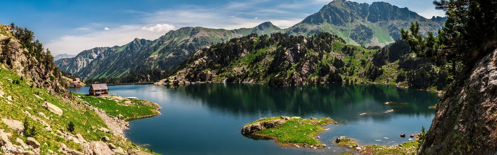
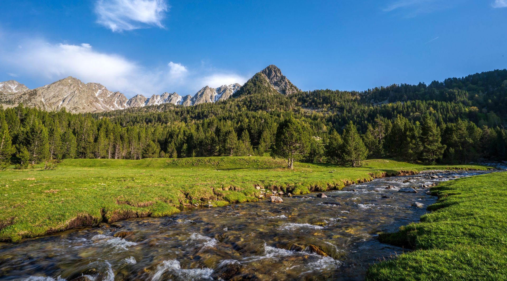
Waterfall hiking trails around Estanh Major de Colomèrs are set within the glacial landscapes of the Spanish Pyrenees, characterized by a vast cirque and numerous high-altitude lakes. The terrain features imposing peaks exceeding 2,500 meters, alongside alpine pastures, meadows, and forests. Glacial erosion has shaped the area, resulting in varied elevations and granite rock formations.
Best waterfall hiking trails around Estanh Major de Colomèrs
- The most popular waterfall hiking route is Ratera Lake – Ratera Waterfall loop from Estany de…
Last updated: November 9, 2026
4.3
(6)
59
hikers
22.6km
09:49
1,260m
1,260m
Hard hike. Very good fitness required. Mostly walkable paths. Sure-footedness required.
4.0
(2)
31
hikers
20.3km
08:58
1,330m
1,350m
Hard hike. Very good fitness required. Sure-footedness, sturdy shoes and alpine experience required.

4.3
(6)
80
hikers
Easy hike. Easily walkable paths.
5.0
(7)
27
hikers
19.1km
08:07
1,240m
1,240m
Hard hike. Very good fitness required. Sure-footedness, sturdy shoes and alpine experience required.
5.0
(7)
120
hikers
6.31km
02:22
280m
280m
Moderate hike. Good fitness required. Mostly walkable paths. Sure-footedness required.
Our route recommendations are based on thousands of hikes, rides, and runs completed by other people on komoot.
Start today with a free account
Your next adventure awaits.
Popular around Estanh Major de Colomèrs
Other adventures around Estanh Major de Colomèrs

Tips from the Community


L'Estanyoleta de Cabanes is a small pond that is located very close to its older brother, the Negre de Cabanes pond. It is located at 2180 meters above sea level and has a beautiful islet in the middle.
1
0

The Saboredo refuge is a mountain refuge in the Pyrenees, at an altitude of 2310 m, in the Saboredo cirque, facing north, in the Valle de Arán region (province of Lérida, Spain). The refuge is located on a hill that separates the lakes of Baish (2240 m) and Deth Miei (2280 m), from the highest Saboredo Lake (2330 m), very close to the Agujas de Saboredo (2626 m), at the head of the Ruda valley, where the long-distance GR-211-4 route passes. It is part of the Carros de Foc route, a 55 km route that covers all the refuges found within the Aiguas Tortas and Lake San Mauricio National Park. On this route it is located between the Colomers refuge and the Amitges refuge. Both can be reached via the Ratera pass (2594 m).
1
0
Lake Obago is a lake of glacial origin located at 2,236 m in the municipality of Alto Arán, in the Valle de Arán region. Lake Obago is one of the largest lakes in the Cirque de Colomers, a glacial cirque of more than 50 lakes crowned by peaks that exceed 2,500 meters, such as the Tuc de Ratera (2,861 m) or the Gran Tuc de Colomers (2,933 meters).
0
0

Gerber Lake is the largest lake in the valley, enclosed by spectacular rock walls. If we want to enjoy a good view of the lake we must ascend a little along the path that goes up on its left side.
0
0

Deep in the hearty depths of the nature reserve, hidden along a challenging path, lies the Mirador del Lago de San Mauricio, a hidden gem for hikers that seems to keep a secret. Once reached, a majestic panorama opens up to the visitor. The gentle glow of Lake San Mauricio spreads out, surrounded by a theatrical backdrop of mountains and sky that seem to be in constant dialogue with each other. A short detour of just 5-10 minutes from the main path and you will be rewarded with a perspective that will make your heart beat faster. Up here, the world can be seen in its raw, untouched glory, opposite the view that one encounters on the shores of the lake. It's like revealing a hidden treasure just waiting to be discovered. While the difficult climb and rocky descent can be challenging, the breathtaking views reward every drop of sweat. And with a bit of luck, when the light is just right, you may spot an animal in the distance or capture the area's unique flora photographically. For those looking for a longer adventure, this viewpoint offers the perfect opportunity to extend the visit to the waterfall and Estany de Ratera and take a comprehensive tour of the Estany de Sant Maurici. However, it is crucial to respect the area's conservation regulations to preserve this place for future generations. Here, at the Mirador del Lago de San Mauricio, the majesty of nature combines with human curiosity, and it is an encounter that will never be forgotten.
2
1
Frequently Asked Questions
How many waterfall hiking trails are available in Estanh Major de Colomèrs?
There are at least 3 dedicated waterfall hiking trails around Estanh Major de Colomèrs, offering a range of difficulties from easy to difficult. These routes are part of a larger network of trails within this stunning glacial landscape.
What kind of terrain can I expect on waterfall hikes in Estanh Major de Colomèrs?
The terrain is primarily shaped by glacial erosion, featuring high mountains, alpine pastures, meadows, and forests. You'll encounter varied elevations, granite rock formations, and numerous high-altitude lakes. Some trails involve significant elevation gain through high mountain scenery, while others offer more accessible paths through woodlands.
What makes the waterfall hikes in Estanh Major de Colomèrs unique?
The region is defined by its vast glacial cirque, home to nearly 50 lakes (estanhs) and impressive peaks exceeding 2,500 meters. Hiking here means experiencing dramatic backdrops, diverse alpine scenery, and the powerful beauty of waterfalls set against a backdrop of ancient glacial formations. The combination of high peaks, numerous lakes, and the unique geology creates an incomparable landscape for exploration.
What do other hikers say about the waterfall trails in Estanh Major de Colomèrs?
The routes in Estanh Major de Colomèrs are highly rated by the komoot community, with an average score of 4.6 stars from more than 700 reviews. Hikers often praise the stunning glacial landscapes, the abundance of beautiful lakes, and the variety of trails available for different fitness levels.
Are there any easy waterfall hikes suitable for beginners in Estanh Major de Colomèrs?
Yes, there is at least one easy waterfall hike. For a more accessible experience, consider the Bosc de Gerdar de Sorpe y Cascada de Gerber — Parque Nacional de Aigüestortes i Estany de Sant Maurici. This 2.3-mile (3.8 km) path takes you through forests to a prominent waterfall with minimal elevation gain.
Are the waterfall trails in Estanh Major de Colomèrs suitable for families with children?
While some trails are challenging, there are options suitable for families. The Bosc de Gerdar de Sorpe y Cascada de Gerber is an easy, shorter route that could be a good choice for families looking to enjoy a waterfall without extensive hiking.
Can I bring my dog on the waterfall hiking trails?
Regulations regarding dogs in national parks and protected areas like Aigüestortes i Estany de Sant Maurici can vary. It's advisable to check the specific rules of the park or the local authorities before bringing your dog, as restrictions may apply to protect wildlife and the natural environment.
Are there any circular waterfall routes in the area?
Yes, there are circular routes that incorporate waterfalls. For example, the Ratera Lake – Ratera Waterfall loop from Estany de la Munyidera is a difficult 15.5-mile (25.0 km) loop that features a waterfall. Another option is the Gerber Lake – Gerber Waterfall loop from Port de la Bonaigua, a difficult 11.9-mile (19.1 km) trail.
What natural features or landmarks can I see along the waterfall trails?
Beyond the waterfalls themselves, you'll encounter a wealth of natural beauty. The region is famous for its numerous glacial lakes, such as Estany Mort, Estanh dera Lòssa, and the Long Lake of Colomèrs. You'll also be surrounded by imposing peaks like Tuc de Ratera and Gran Tuc de Colomers, and pass through alpine pastures, meadows, and forests.
What is the best time of year to experience the waterfalls in Estanh Major de Colomèrs?
The best time to visit is generally during late spring and early summer (May to July) when the snowmelt feeds the waterfalls, making them particularly powerful and impressive. The weather is also typically more stable for hiking during these months. Autumn offers beautiful fall colors, but water levels might be lower.
Are there places to stay overnight near the waterfall trails?
Yes, for those wishing to extend their adventure, the Colomèrs Mountain Shelter (Refugi de Colomèrs) provides accommodation with meal services. This allows for multi-day treks through the region, giving you more time to explore the numerous lakes and peaks.
Is parking available for accessing the waterfall trails?
Access to the Colomèrs cirque is often regulated, especially during peak season. While there are parking areas at access points like the Banhs de Tredòs, it's common for private vehicles to be restricted beyond a certain point, with shuttle services (taxis) operating to take hikers closer to the trailheads. It's best to check local regulations for specific parking information and transport options before your visit.
Are there any permits required for hiking in the Estanh Major de Colomèrs area?
Estanh Major de Colomèrs is located within the Aigüestortes i Estany de Sant Maurici National Park. While general hiking does not typically require a permit, certain activities, overnight stays in specific areas, or access during peak seasons might have regulations or require prior booking. It's always recommended to check the official National Park website or local information centers for the most current permit requirements.
Most popular routes around Estanh Major de Colomèrs

Get inspired with the komoot mobile app


Explore more
Browse the best Hikes in other regions.
