The best waterfall hikes and walks in Isernia
4.4
(1662)
7,330
hikers
18
hikes
Waterfall hiking trails in Isernia traverse a landscape characterized by hilly terrain, dense woodlands, and river valleys, which create numerous opportunities for cascades. The region's geology often features rocky outcrops and varied elevations, contributing to the formation of its waterfalls. These natural features provide diverse environments for hikers seeking trails with water elements.
Best waterfall hiking trails in Isernia
- The most popular waterfall hiking route is The Carpinone waterfalls and the historic village – loop tour, a 2.6 miles…
Last updated: September 27, 2026
4.6
(27)
80
hikers
4.19km
01:11
90m
90m
Easy hike. Great for any fitness level. Easily-accessible paths. Suitable for all skill levels.
5.0
(1)
7
hikers
Hard hike. Very good fitness required. Sure-footedness, sturdy shoes and alpine experience required.

19.7km
08:08
1,200m
1,200m
Hard hike. Very good fitness required. Sure-footedness, sturdy shoes and alpine experience required.
4.5
(20)
86
hikers
Moderate hike. Good fitness required. Easily-accessible paths. Suitable for all skill levels.
4.5
(25)
73
hikers
Moderate hike. Good fitness required. Easily-accessible paths. Suitable for all skill levels.
Get access to more routes and recommendations from other explorers.
Already have an account?
Our route recommendations are based on thousands of hikes, rides, and runs completed by other people on komoot.
Start today with a free account
Your next adventure awaits.
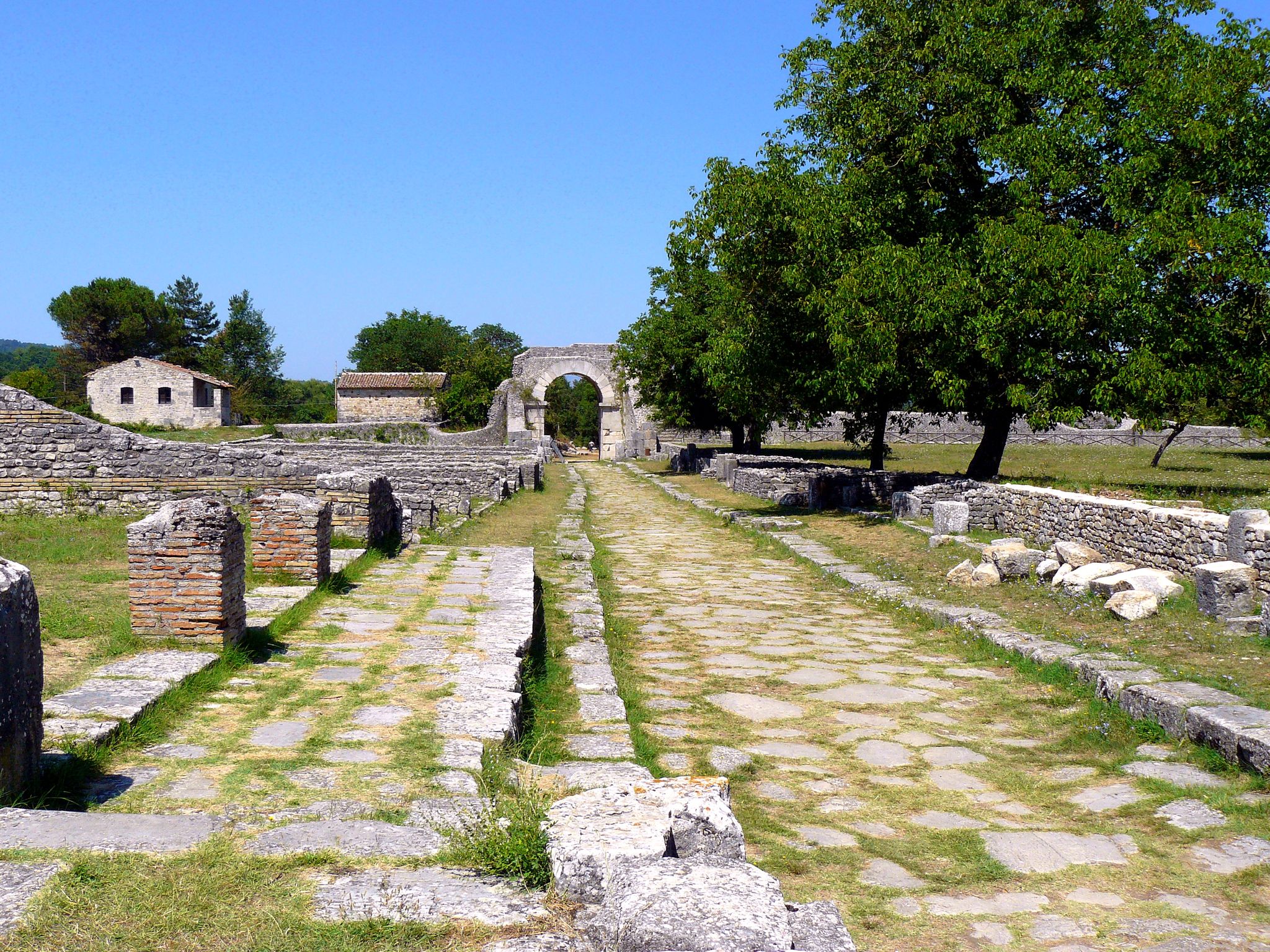
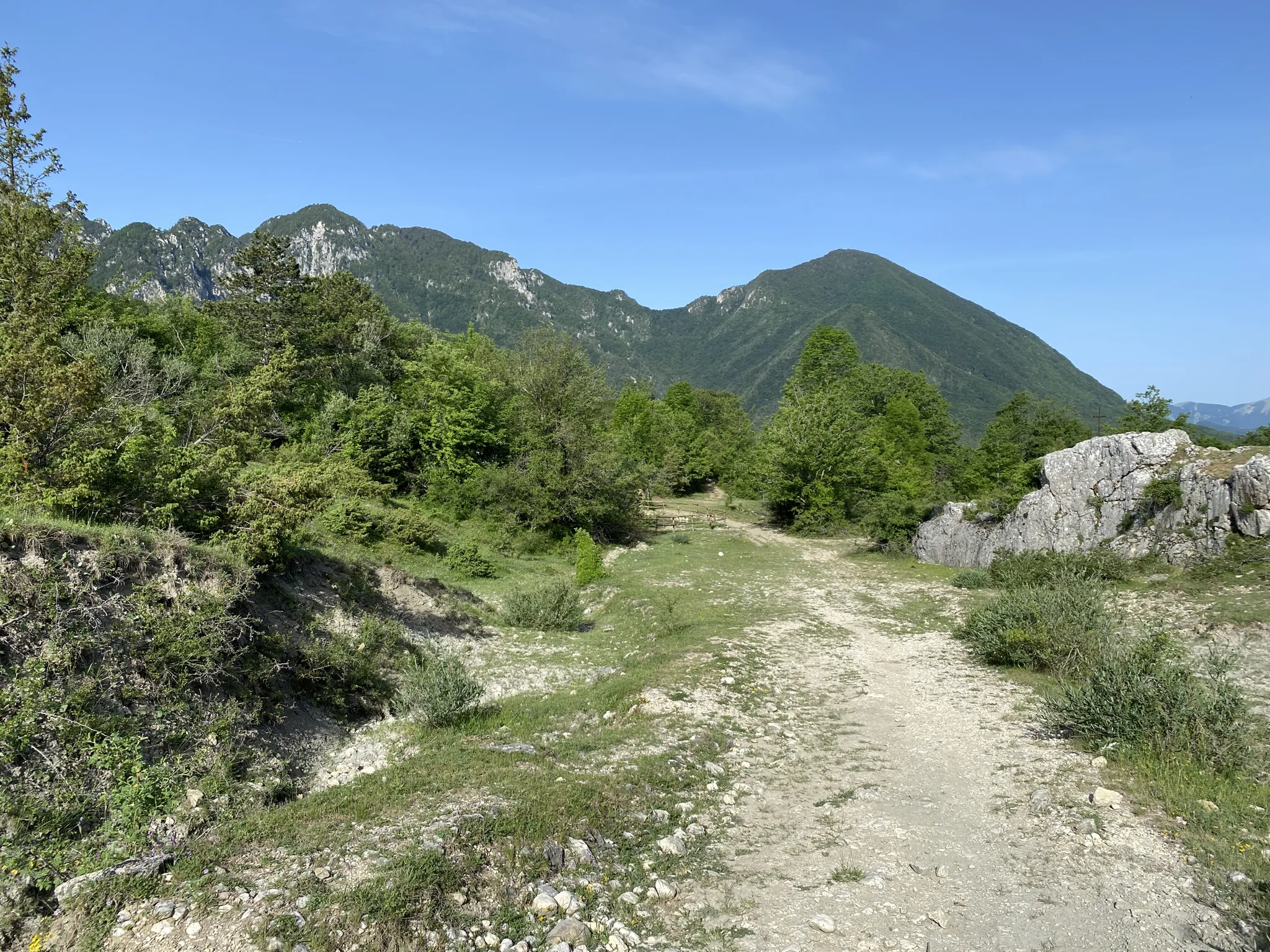
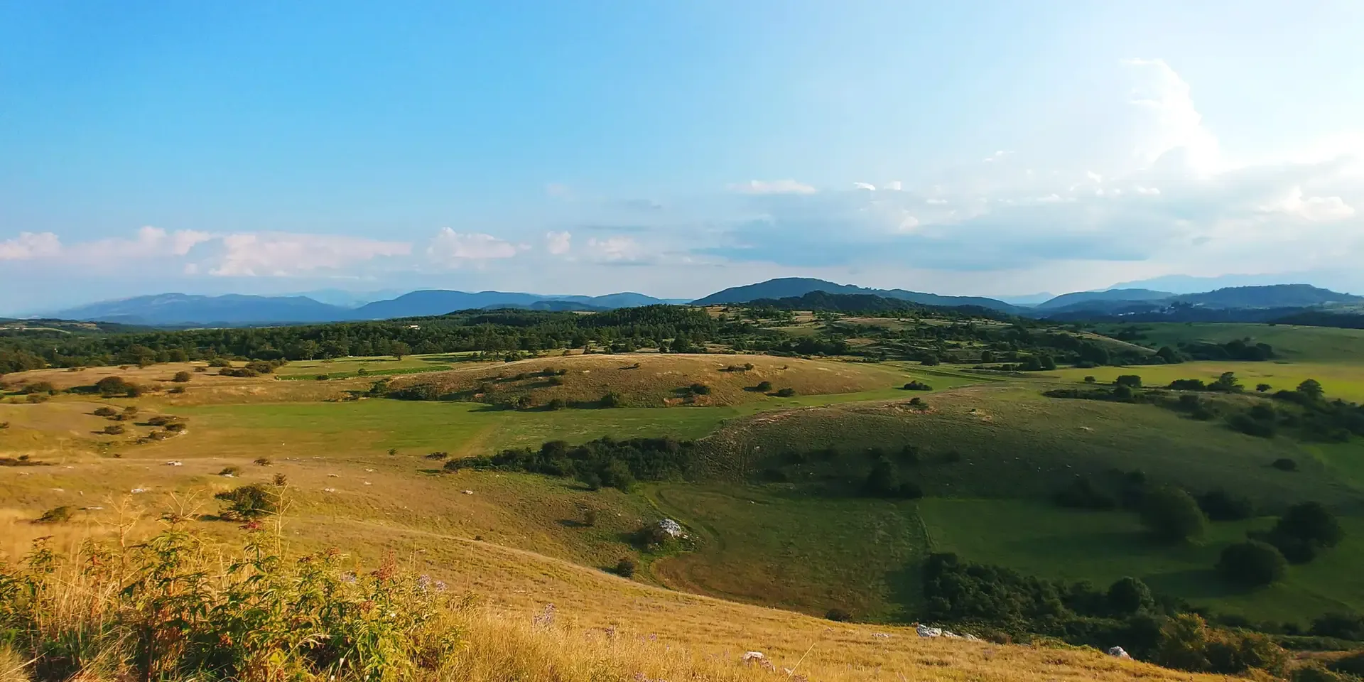
Other adventures in Isernia


Tips from the Community

Gallinola (1,923 m above sea level) is the second highest peak in the Matese range and is located in Molise. It can be reached from Campitello Matese via a 5.5 km hike and an elevation gain of just under 500 meters. The view from the summit is spectacular, stretching from the Maiella to the Tyrrhenian Sea, clearly visible in good weather.
1
0

Challenging route with a difference in altitude of about 600m, starting from the Ecocamous refuge located in the Santa Maria valley. During the route you will encounter woods, valleys and a beautiful view of Lake Matese. The route leads to the highest peak in Campania, La Gallinola (1923m)
0
0

The trail is not an official CAI trail and although the route suggested by koomot is intuitive, the deviation it proposes is risky. In fact, the undergrowth has almost reclaimed the trail, making it difficult and unpredictable. Access to the waterfalls is quite intuitive even if they are also not marked. On site you have to make do to find a location and bathing remains difficult. Exploring a bit you find several pools of freezing water. Despite the difficulty, it remains an enchanting place.
2
0

Beautiful spot where the valley opens up and you can see both this abandoned farmhouse and the stream in front and behind the mountains.
0
0

Getting there from the Santa Maria refuge was a slog but when you admire the view you understand that it's worth it
3
0

From the north shore of the lake you can enjoy an excellent view and on the east bank you can see the walls of the small dam which was used to power the Enel power plant which has now been decommissioned for many years.
0
0
The Lete stream produces small waterfalls and natural pools where it is possible to swim.
0
0
The castle of Prata Sannita, better known as Castello Pandone, was built in the Lombard era as a military garrison. Since 1984 the Castle has been declared a monument of historical-artistic interest.
0
0
Frequently Asked Questions
How many waterfall hiking trails are there in Isernia?
Isernia offers a diverse selection of 18 waterfall hiking trails. These routes vary in difficulty, providing options for different experience levels, from easy strolls to more challenging treks through the region's unique landscape.
Are there easy waterfall walks in Isernia suitable for beginners or families?
Yes, Isernia has several easy waterfall walks perfect for beginners and families. For instance, The Carpinone waterfalls and the historic village – loop tour is an easy 2.6-mile (4.2 km) trail that combines natural cascades with cultural sights. Another great option is the Carpinone Waterfalls – Carpinone loop from Carpinone, which is also considered easy.
When is the best time of year to visit the waterfalls in Isernia?
The best time to visit the waterfalls in Isernia is typically during spring or autumn. In spring, the waterfalls are often at their fullest due to snowmelt and rainfall, and the surrounding vegetation is lush. Autumn offers pleasant temperatures and beautiful fall foliage, though water levels might be lower than in spring.
What should I wear for a waterfall hike in Isernia?
For waterfall hikes in Isernia, it's advisable to wear comfortable, layered clothing suitable for varying weather conditions. Sturdy hiking boots with good grip are essential, as trails can be wet or uneven. Consider bringing a waterproof jacket, especially if you plan to get close to the cascades, and a small backpack with water and snacks.
Are there circular waterfall hiking routes in Isernia?
Yes, many of Isernia's waterfall trails are designed as circular routes, allowing you to start and end at the same point. A popular example is Fosso Canneto – Rifugio Acquanera loop from Santuario diocesano Maria Santissima di Canneto, a moderate 9.8-mile (15.8 km) path. Another is the Wojtyla Waterfall – Rifugio Acquanera loop from Santuario diocesano Maria Santissima di Canneto.
What can I see along the waterfall hiking trails in Isernia?
Beyond the waterfalls themselves, you can explore various natural and cultural highlights. Near some trails, you might find attractions like Lake Castel San Vincenzo or the Volturno Spring. The region also features several huts, such as Prato Gentile Hut, which can serve as points of interest or rest stops.
Are waterfall trails in Isernia accessible in winter?
While some trails may remain accessible, winter conditions in Isernia, especially at higher elevations or after snowfall, can make waterfall trails challenging or even dangerous. Ice can form on paths and around the cascades. It's recommended to check local conditions and trail reports before attempting a winter hike and to be equipped with appropriate gear like microspikes if trails are icy.
Do I need a permit to hike waterfall trails in Isernia?
Generally, permits are not required for hiking the waterfall trails in Isernia. Most trails are freely accessible to the public. However, it's always a good practice to respect local regulations and private property signs, especially if venturing off marked paths.
Are there opportunities for wild swimming near Isernia's waterfalls?
While Isernia's waterfalls are beautiful to behold, the cold temperatures and strong currents in the pools beneath them often make wild swimming unsafe or impractical. It's best to admire the cascades from a safe distance. For swimming, consider designated areas or lakes like Lake Castel San Vincenzo, where conditions might be more suitable.
What do other hikers enjoy the most about hiking in Isernia?
The hiking trails in Isernia are highly rated by the komoot community, with an average score of 4.4 stars from over 300 reviews. Reviewers often praise the region's diverse landscapes, from dense woodlands and river valleys to rocky outcrops, and the refreshing beauty of its numerous cascades. The variety of routes, catering to different ability levels, is also frequently highlighted.
Can you recommend any less-known waterfall trails in Isernia?
For a potentially less crowded experience, consider exploring routes like the Fosso Canneto loop from Santuario diocesano Maria Santissima di Canneto. This easy 3.5-mile (5.6 km) trail offers a pleasant walk through nature and features waterfalls, providing a serene alternative to more popular spots.
Most popular routes in Isernia
Most popular attractions in Isernia

Get inspired with the komoot mobile app


Explore more
Browse the best Hikes in other regions.
