The best waterfall hikes and walks in Main-Tauber-Kreis
4.6
(9756)
35,388
hikers
17
hikes
Waterfall hiking trails in Main-Tauber-Kreis traverse a landscape characterized by river valleys, rolling hills, and dense woodlands. The region is shaped by the Tauber and Jagst rivers, which have carved picturesque valleys and created numerous smaller cascades and streams. Elevations are generally moderate, with paths winding through forests and open fields. This varied terrain offers a range of experiences for hikers seeking natural water features.
Best waterfall hiking trails in Main-Tauber-Kreis
- The most popular waterfall hiking route is Circular hiking…
Last updated: October 26, 2026
4.4
(12)
37
hikers
18.3km
05:09
390m
390m
Hard hike. Very good fitness required. Easily walkable paths.
4.4
(12)
38
hikers
17.1km
04:55
410m
410m
Moderate hike. Good fitness required. Mostly walkable paths. Sure-footedness required.

4.4
(8)
18
hikers
5.27km
01:33
140m
140m
Moderate hike. Mostly walkable paths. Sure-footedness required.
4.7
(3)
8
hikers
26.0km
07:06
400m
400m
Hard hike. Very good fitness required. Easily walkable paths.
13.7km
03:53
290m
290m
Moderate hike. Good fitness required. Easily walkable paths.
Get access to more routes and recommendations from other explorers.
Already have an account?
Our route recommendations are based on thousands of hikes, rides, and runs completed by other people on komoot.
Start today with a free account
Your next adventure awaits.
Popular around Main-Tauber-Kreis
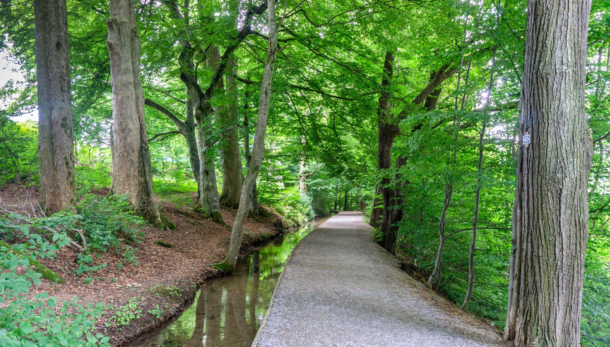
Main-Danube-Lake Constance Trail – Along iconic waters
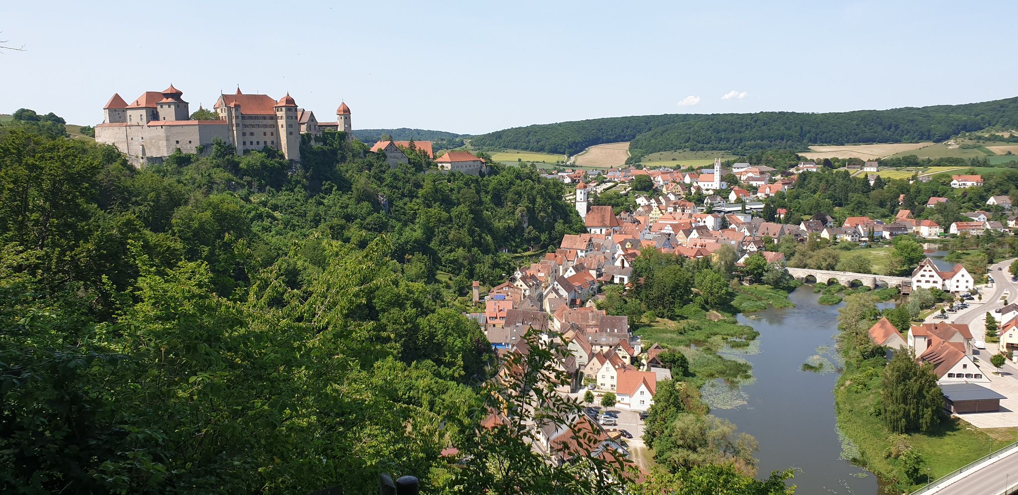
The Romantic Road – To the Pearls of Southern Germany
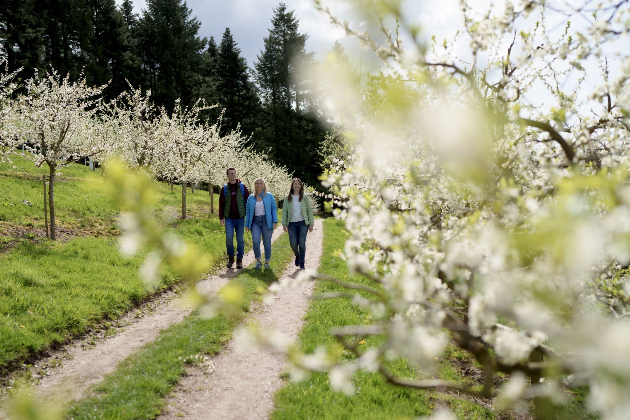
Hiking between Baden's vineyards, wildflowers & green lizards
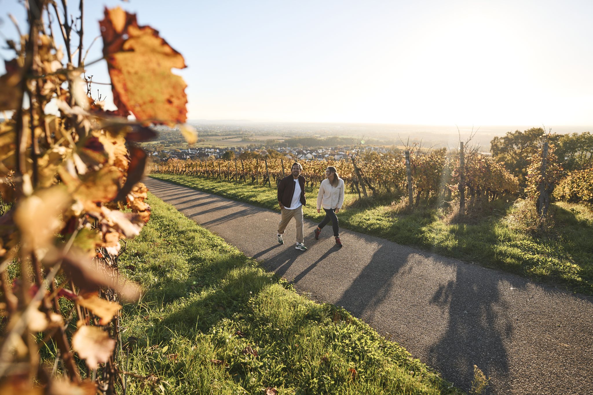
Fine drops and local cuisine – gourmet hiking in the Süden ganz oben
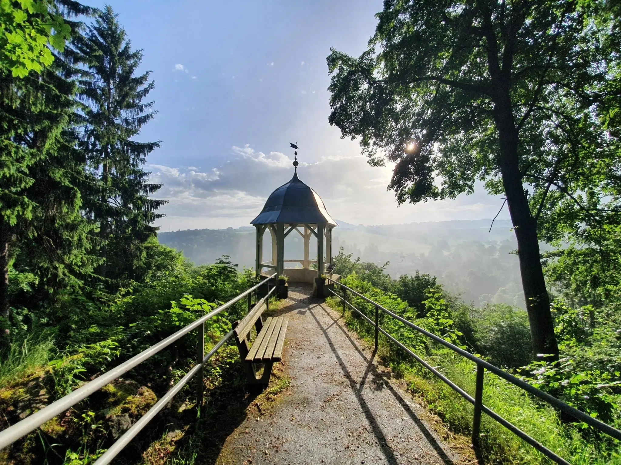
#GoFurther – discover the views of Germany!
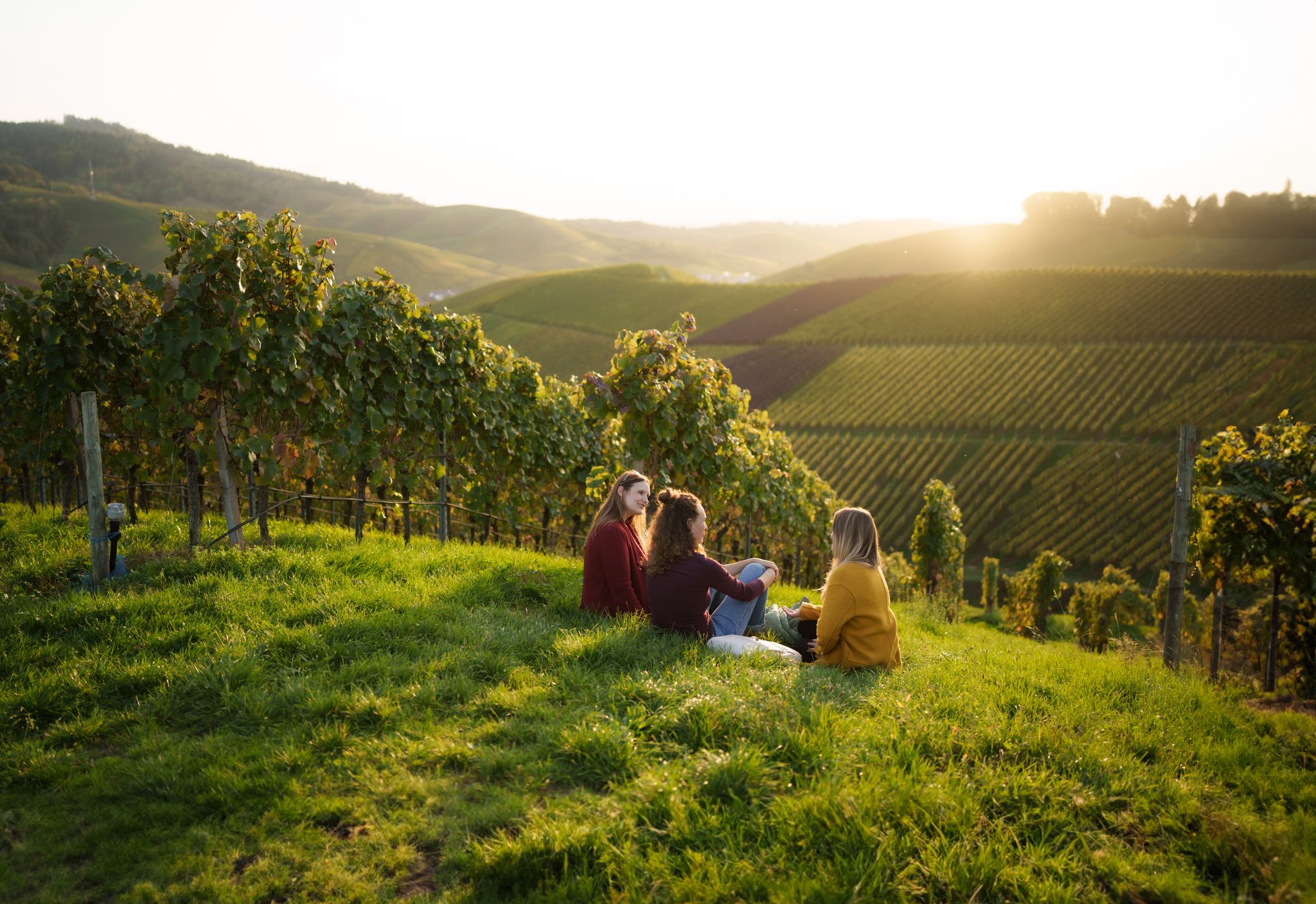
Picnics, wine and wide views – along the Baden Wine Route

Hikes to seasonal taverns along the Baden Wine Route in Germany

Winter wonderland — hiking in Germany’s Baden-Württemberg
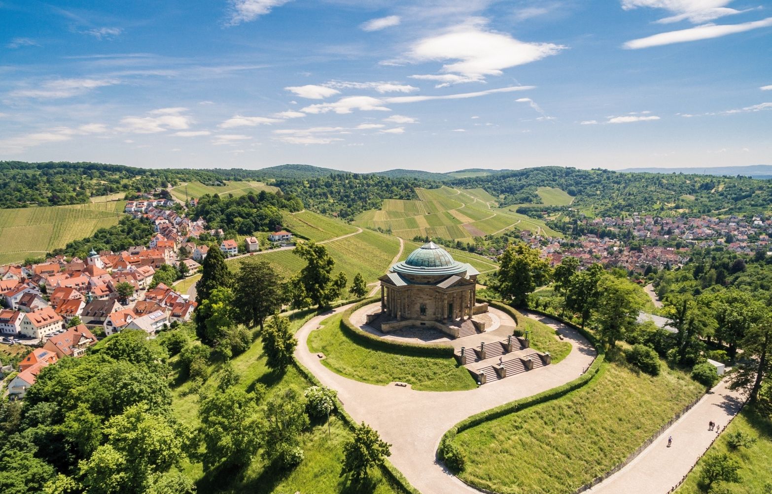
From grape to glass — 8 wine hikes in Württemberg
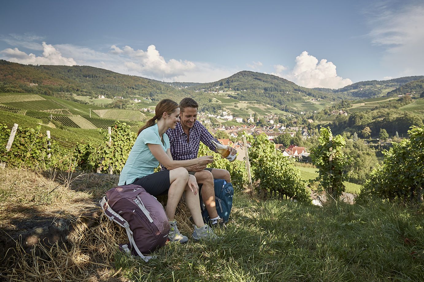
Getting a taste for wine — wine hikes in Germany’s Baden region
Other adventures in Main-Tauber-Kreis


Tips from the Community

A typical watchtower, probably from the 15th century, which once belonged to the so-called Krappentor (= Raven Gate) on the Hohlweg. The lower section of the path was also called "kleine Hohle". The village, first mentioned as "Gammenburc" in an undated document by the Archbishop of Mainz Adalbert (1111-1137), was fortified with ditches and palisades and had a total of five gates: Mühltor, Brückentor, Neues Tor, Tor zum Flor (to the field, at the Lower Castle) and Krappentor. The latter formed the walled connection to the castle fortifications at this point. From 1890, the tower, originally crowned with battlements, belonged to the Gamburg sculptor Clemens Buscher (+1916), who added a wooden structure to it. At the foot is an epitaph of Anna ("Petronia") von Ehrenberg (+1422), wife of Peter d. Ä. von Stettenberg (+1428), which was originally located at the old village church, whose magnificent knight's epitaph is in turn located in the main nave of the Bronnbach monastery church.
1
0

Visually a feast halfway to the castle complex
7
0
For a fee, this privately owned masonry can be visited... note the opening hours
5
0

Beware, there are free-flying bees here ;-)
0
0

Thanks to Frank for the impressive nature photos.
1
0

From the benches at the edge of the forest you have a very beautiful view of the castle and the town of Gamburg.
0
0

Great Kneipp pool integrated into the stream and there is a small barefoot path on the other side of the stream
0
0
Frequently Asked Questions
How many waterfall hiking trails are available in Main-Tauber-Kreis?
Main-Tauber-Kreis offers 15 dedicated waterfall hiking trails. These routes range from easy strolls to more challenging treks, allowing you to explore the region's natural water features.
Are there easy waterfall hikes suitable for beginners in Main-Tauber-Kreis?
Yes, there are 2 easy waterfall hikes in Main-Tauber-Kreis, perfect for beginners or those seeking a relaxed outing. These trails typically feature gentle terrain and shorter distances, making them accessible for a wide range of fitness levels.
What are some family-friendly waterfall hikes in Main-Tauber-Kreis?
For families, consider routes that are shorter and have moderate difficulty. While specific family-friendly routes are not detailed in the guide, look for the 2 easy trails or shorter moderate options like the Krautheim Castle Ruins – Burg Krautheim loop from Krautheim, which is 5.3 km long and takes about 1 hour 34 minutes. These are generally more suitable for children.
Can I bring my dog on waterfall hikes in Main-Tauber-Kreis?
Many trails in Main-Tauber-Kreis are dog-friendly, but it's always recommended to check local regulations for specific routes or protected areas. Generally, dogs are welcome on leash, especially on trails that pass through forests and open fields, which characterize much of the region's hiking landscape.
What is the best time of year to visit the waterfalls in Main-Tauber-Kreis?
The waterfalls in Main-Tauber-Kreis are particularly impressive during spring, when snowmelt and spring rains contribute to higher water volumes, making the cascades more powerful. Autumn also offers beautiful scenery with vibrant foliage, though water levels might be lower. Summer provides pleasant hiking weather, while winter can offer a unique, frozen landscape if temperatures drop sufficiently.
Are there any circular waterfall hiking routes in Main-Tauber-Kreis?
Yes, several routes in Main-Tauber-Kreis are circular, allowing you to start and end at the same point. An example is the challenging Circular hiking trail LT 21 To Jagsttal View, which offers expansive views over the Jagsttal valley. Another option is the moderate Krautheim Castle – Krautheim Castle Ruins loop from Krautheim.
What kind of terrain can I expect on waterfall hikes in Main-Tauber-Kreis?
The terrain in Main-Tauber-Kreis is characterized by river valleys, rolling hills, and dense woodlands. You can expect paths winding through forests and open fields, with generally moderate elevations. Some trails may feature steeper sections, especially those leading to or from river valleys, but overall, the landscape is varied and engaging.
What unique viewpoints or natural attractions can I discover along waterfall trails?
Beyond the waterfalls themselves, you can discover several natural attractions. The Hoher Felsen Waterfall (Steppbach) and Gorge is a notable highlight. You might also encounter scenic sections of the Tauber Valley or explore other gorges like the Fuchsloch Gorge in Teilungstal, which offer unique perspectives of the region's landscape.
Are there any advanced or difficult waterfall hikes in Main-Tauber-Kreis?
Yes, for experienced hikers seeking a challenge, Main-Tauber-Kreis offers 2 difficult waterfall hikes. These routes, such as the Krautheim Castle Ruins – Heiligenberg Hut loop from Krautheim, typically cover longer distances and feature more significant elevation changes, providing a rewarding experience for those with good fitness levels.
What do other hikers say about the waterfall trails in Main-Tauber-Kreis?
The hiking routes in Main-Tauber-Kreis are highly regarded by the komoot community, with an impressive average rating of 4.6 stars from over 8,600 reviews. Hikers often praise the varied terrain, the picturesque river valleys, and the well-maintained paths that lead to beautiful natural features, including the waterfalls.
Are there any historical points of interest near the waterfall hikes?
Yes, the region is rich in history. For example, the Heiligenberg Hut – Burg Krautheim loop from Assamstadt leads through varied terrain, passing by historical points of interest. You can also find routes near landmarks like the View of Burg Schüpf Site, offering a blend of natural beauty and cultural heritage.
What should I wear for a waterfall hike in Main-Tauber-Kreis?
Given the varied terrain and potential for damp conditions near waterfalls, it's advisable to wear sturdy, waterproof hiking boots with good grip. Layered clothing is recommended to adapt to changing weather, and a waterproof jacket is always a good idea. Depending on the season, consider bringing insect repellent and sun protection.
Most popular routes in Main-Tauber-Kreis
Most popular attractions in Main-Tauber-Kreis

Get inspired with the komoot mobile app


