The best waterfall hikes and walks in Mittelland
4.6
(13646)
80,123
hikers
4
hikes
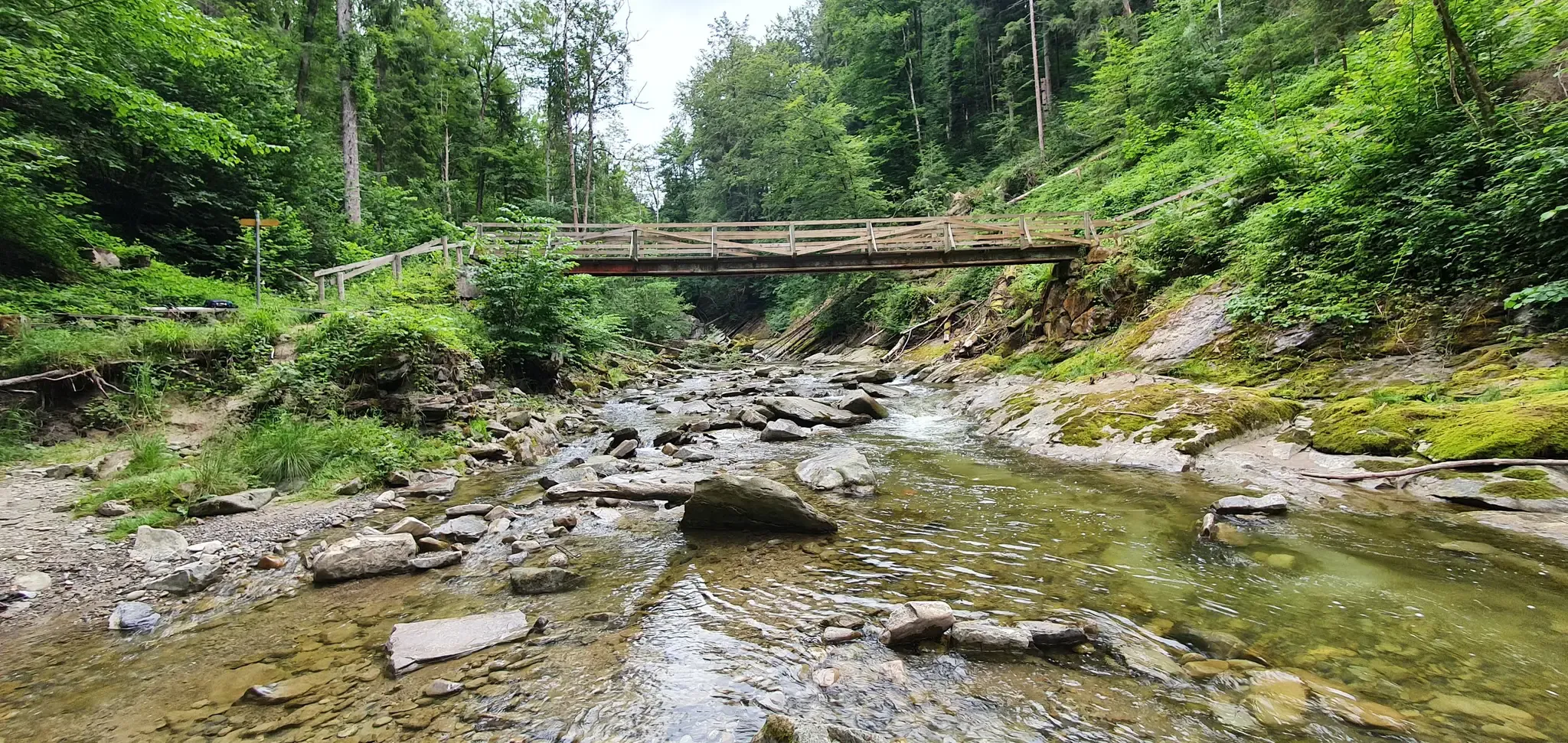
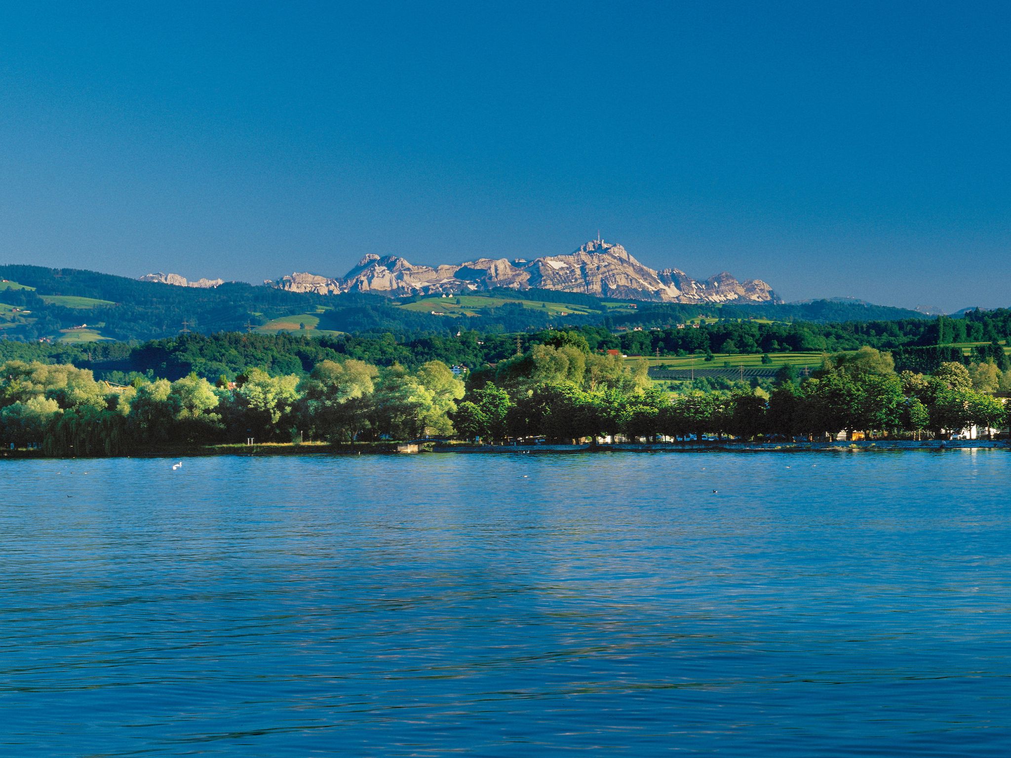
Waterfall hiking trails in Mittelland traverse a diverse landscape characterized by rolling hills, expansive lakes, and dramatic river gorges. This region, nestled between the Jura Mountains and the Alps, offers a blend of accessible terrain and impressive natural features. Hikers can explore areas with lush meadows, pre-Alpine foothills, and dense forest landscapes, often leading to captivating waterfalls. The varied topography provides a range of experiences, from gentle walks to more challenging routes through unique rock formations.
Best waterfall hiking trails…
Last updated: September 27, 2026
4.7
(10)
32
hikers
Easy hike. Great for any fitness level. Easily-accessible paths. Suitable for all skill levels.
3.0
(1)
20
hikers
15.5km
04:38
500m
510m
Moderate hike. Good fitness required. Easily-accessible paths. Suitable for all skill levels.

4.0
(3)
20
hikers
Easy hike. Great for any fitness level. Easily-accessible paths. Suitable for all skill levels.
Our route recommendations are based on thousands of hikes, rides, and runs completed by other people on komoot.
Start today with a free account
Your next adventure awaits.
Popular around Mittelland


Other adventures in Mittelland


Tips from the Community

to see from the path to Schwägalp.
0
0

The Waldgasthof's website states that it is also served by public transport. The PubliCar runs between Lehmen and Weissbad and must be reserved in advance by calling 0848 55 30 60. From Weissbad, you can then continue your journey on the Appenzell Railway.
0
0
Potersalp is a large alpine pasture area near Chammhalde. The path leads past several alpine huts that are used for grazing during the summer months. The location of the flat alpine meadows is impressive, as the steep north faces of the Säntis mountain range can be admired in the immediate vicinity!
0
0

If the flag is hoisted in front of the Chammhaldenhütte, then you can look forward to a stop. The club hut is sometimes open on weekends. There are no fixed opening times, but the joy is all the greater when the hut is actually open. More information: https://www.sac-saentis.ch/huetten/chammhaldenhuette/
1
1

There is also a drinking water fountain
0
0

From the bench here, you have a good view from the side above of the striking and large Leuenfall (viewing from the path below is possible and recommended).
2
0
From the side, from the road, by the bench you have a view of the Leuenfall waterfall – especially beautiful when there is enough water.
1
0
Larger alp on the alpine road between Chammhalde (above) and Lehmen (below).
1
0
Frequently Asked Questions
How many waterfall hiking trails are available in Mittelland?
Mittelland offers nearly 10 distinct waterfall hiking trails, providing a variety of experiences for different skill levels. These routes traverse diverse landscapes, from rolling hills to dramatic gorges.
What are the general difficulty levels of waterfall hikes in Mittelland?
The waterfall hikes in Mittelland cater to various fitness levels. You'll find 2 easy trails perfect for a leisurely stroll, 6 moderate routes that offer a good challenge, and 1 difficult trail for experienced hikers seeking a more strenuous adventure.
What do other hikers say about the waterfall trails in Mittelland?
The komoot community highly rates the waterfall trails in Mittelland, with an average score of 4.6 stars from over 1,300 reviews. Hikers often praise the well-maintained paths, the stunning natural beauty, and the rewarding views of the waterfalls.
Are there any family-friendly waterfall hikes in Mittelland?
Yes, there are family-friendly options. For instance, the Leuenfall – View of the Leuenfall loop from Appenzell Innerrhoden is an easy 2.6 km trail that takes about 46 minutes, making it suitable for families with children. The region's gentle terrain and well-marked paths often provide accessible experiences.
Can I bring my dog on waterfall hikes in Mittelland?
Many trails in Mittelland are dog-friendly, but it's always recommended to check specific route details and local regulations before heading out. Generally, dogs are welcome on leash, especially on the more open paths. Be mindful of any protected areas or agricultural land.
Are there circular routes for waterfall hikes in Mittelland?
Yes, several waterfall hikes in Mittelland are designed as circular routes, allowing you to start and end at the same point. A popular option is the View of the Leuenfall – Waldgasthaus Lehmen loop from Appenzell Innerrhoden, an 8.8-mile trail that offers beautiful views of the Leuenfall waterfall.
What kind of terrain can I expect on waterfall hikes in Mittelland?
Waterfall hikes in Mittelland feature a diverse terrain. You can expect rolling hills, lush meadows, and dense forest sections. Some trails also lead through dramatic river gorges and pre-Alpine foothills, offering a mix of gentle paths and more rugged sections with unique rock formations.
What are some natural features or viewpoints near waterfall trails in Mittelland?
Beyond the waterfalls themselves, Mittelland offers stunning natural features and viewpoints. You might encounter picturesque lakes like Gäbrisseeli, or reach summits like Gäbris Summit or Hohe Buche Summit, providing panoramic views of the surrounding landscape and distant Alps.
What is the best time of year to visit the waterfalls in Mittelland?
The best time to visit the waterfalls in Mittelland is typically during spring and early summer when snowmelt increases water flow, making the waterfalls particularly impressive. Autumn also offers beautiful scenery with vibrant foliage, while winter can transform the landscape into a serene, icy wonderland, though some paths might be challenging due to snow or ice.
Are there options for public transport or parking near waterfall hikes?
Mittelland generally has good infrastructure. Many trailheads are accessible by public transport, and parking facilities are often available near popular starting points. It's advisable to check specific route information for detailed public transport connections and parking options before your hike.
Are there any longer, more challenging waterfall hikes for experienced hikers?
Yes, for experienced hikers seeking a greater challenge, the Kronberg Summit – Ahorn Chapel loop from Appenzell Innerrhoden is a difficult 16.8 km route with significant elevation gain, offering a rewarding and strenuous experience through the region's diverse terrain.
Where can I find refreshments or places to rest near the waterfall trails?
You'll often find opportunities for refreshments near popular waterfall trails. For example, the Waldegg Adventure Spot is a highlight that could serve as a place for a break. Many routes pass through or near villages with cafes, restaurants, or traditional guesthouses.
What should I wear or bring for a waterfall hike in Mittelland?
For waterfall hikes in Mittelland, wear sturdy hiking boots with good grip, as paths can be wet or uneven. Layered clothing is recommended to adapt to changing weather conditions. Bring rain gear, sufficient water, snacks, and a camera to capture the beautiful scenery. A map or GPS device is also useful for navigation.
Most popular routes in Mittelland
Most popular attractions in Mittelland

Get inspired with the komoot mobile app


Explore more
Browse the best Hikes in other regions.
