The best mountain hikes around Salins-Fontaine
4.6
(6)
20
hikers
4
hikes
Mountaineering around Salins-Fontaine offers routes through the French Alps, characterized by high mountain passes, alpine lakes, and forested slopes. The region features varied terrain, from challenging ascents to more moderate paths, providing opportunities to explore its natural beauty. Elevations range significantly, with routes traversing both open mountain landscapes and areas with dense tree cover.
Best mountaineering routes around Salins-Fontaine
- The most popular mountaineering route is Mont Jovet – Col du Jovet loop from Notre-Dame-du-Pré, a 14.3 miles (23.0 km)…
Last updated: July 8, 2026
5.0
(1)
10
hikers
23.1km
09:08
1,440m
1,440m
Hard mountaineering route. Very good fitness required. Mostly accessible paths. Sure-footedness required.
4.3
(3)
4
hikers
10.8km
03:58
620m
620m
Moderate mountaineering route. Good fitness required. Mostly accessible paths. Sure-footedness required.

Sign up for free
4.0
(1)
3
hikers
9.78km
03:33
530m
530m
Moderate mountaineering route. Good fitness required. Mostly accessible paths. Sure-footedness required.
5.0
(1)
3
hikers
Hard mountaineering route. Very good fitness required. Mostly accessible paths. Sure-footedness required.
Our route recommendations are based on thousands of hikes, rides, and runs completed by other people on komoot.
Start today with a free account
Your next adventure awaits.
Login or Signup
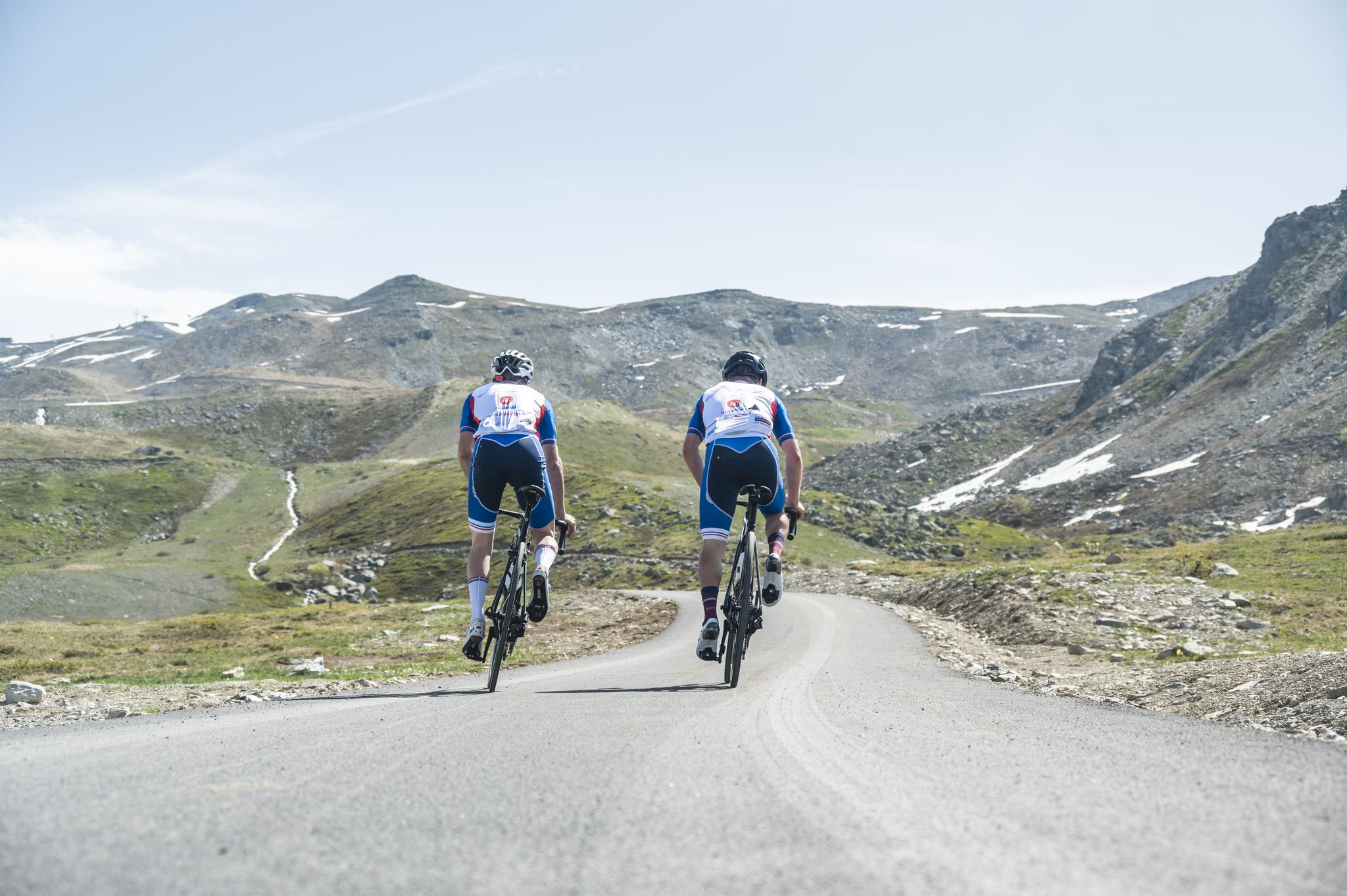
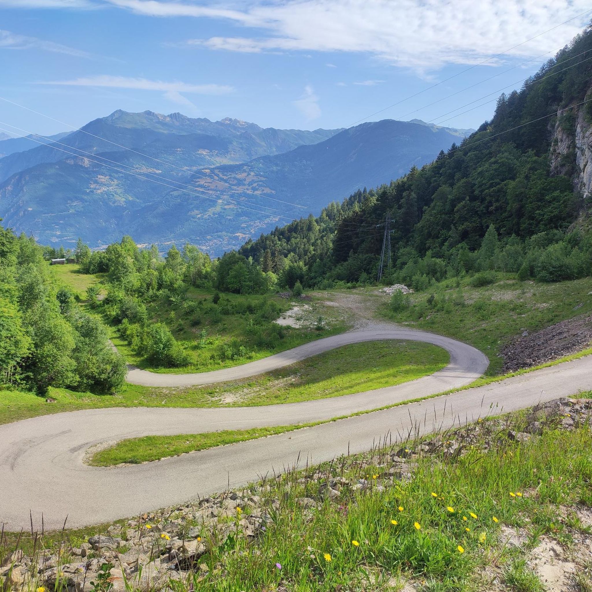
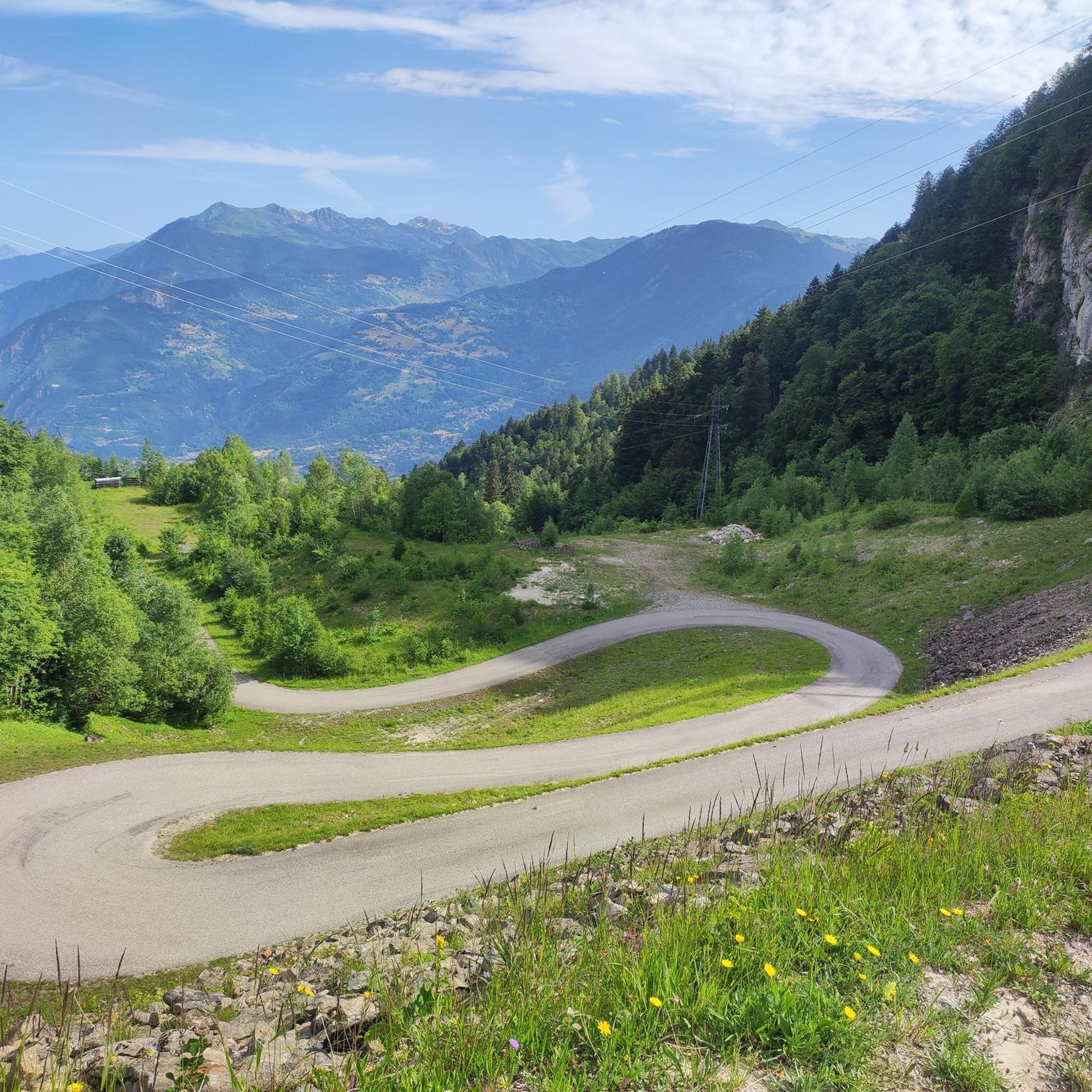
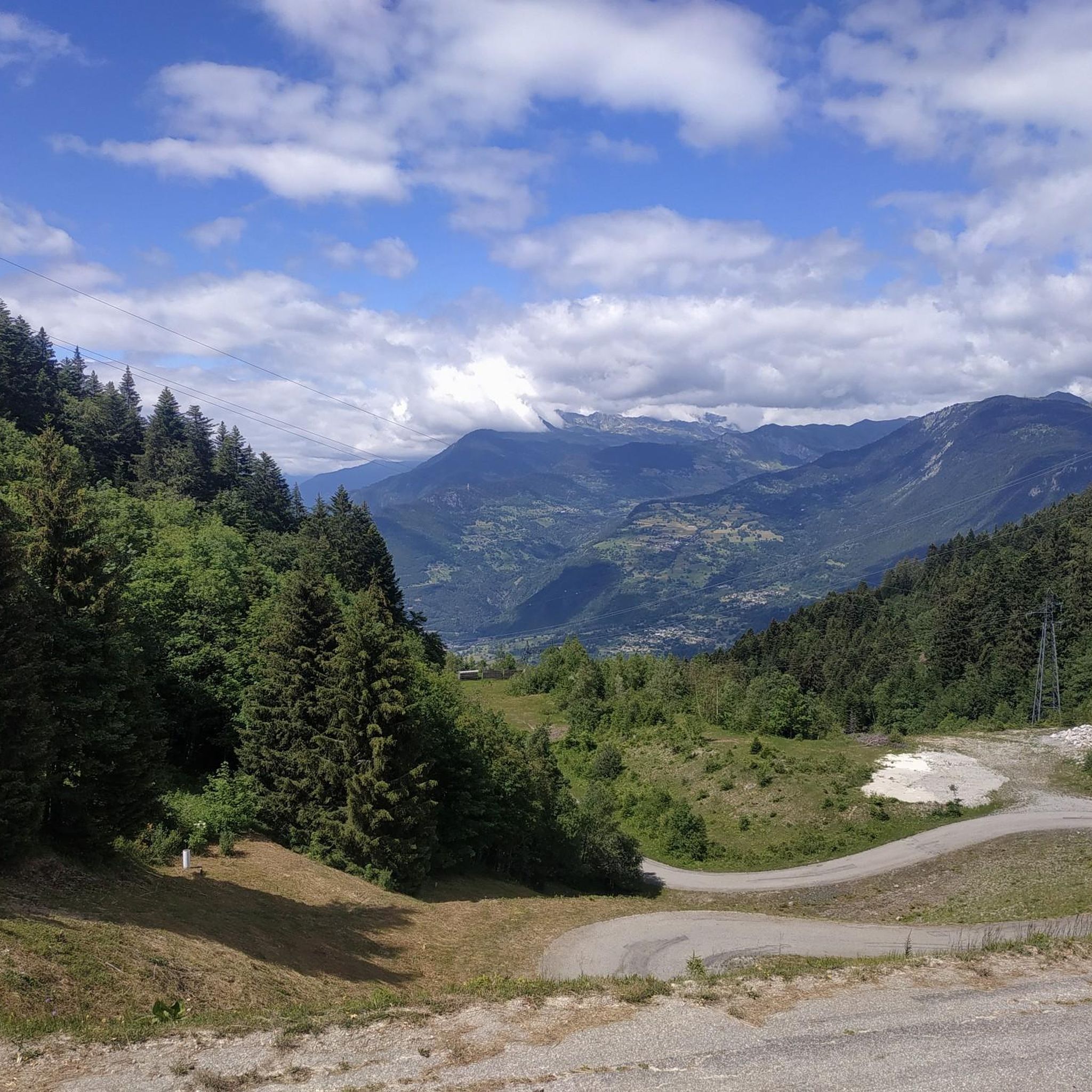

Other adventures around Salins-Fontaine

Tips from the Community


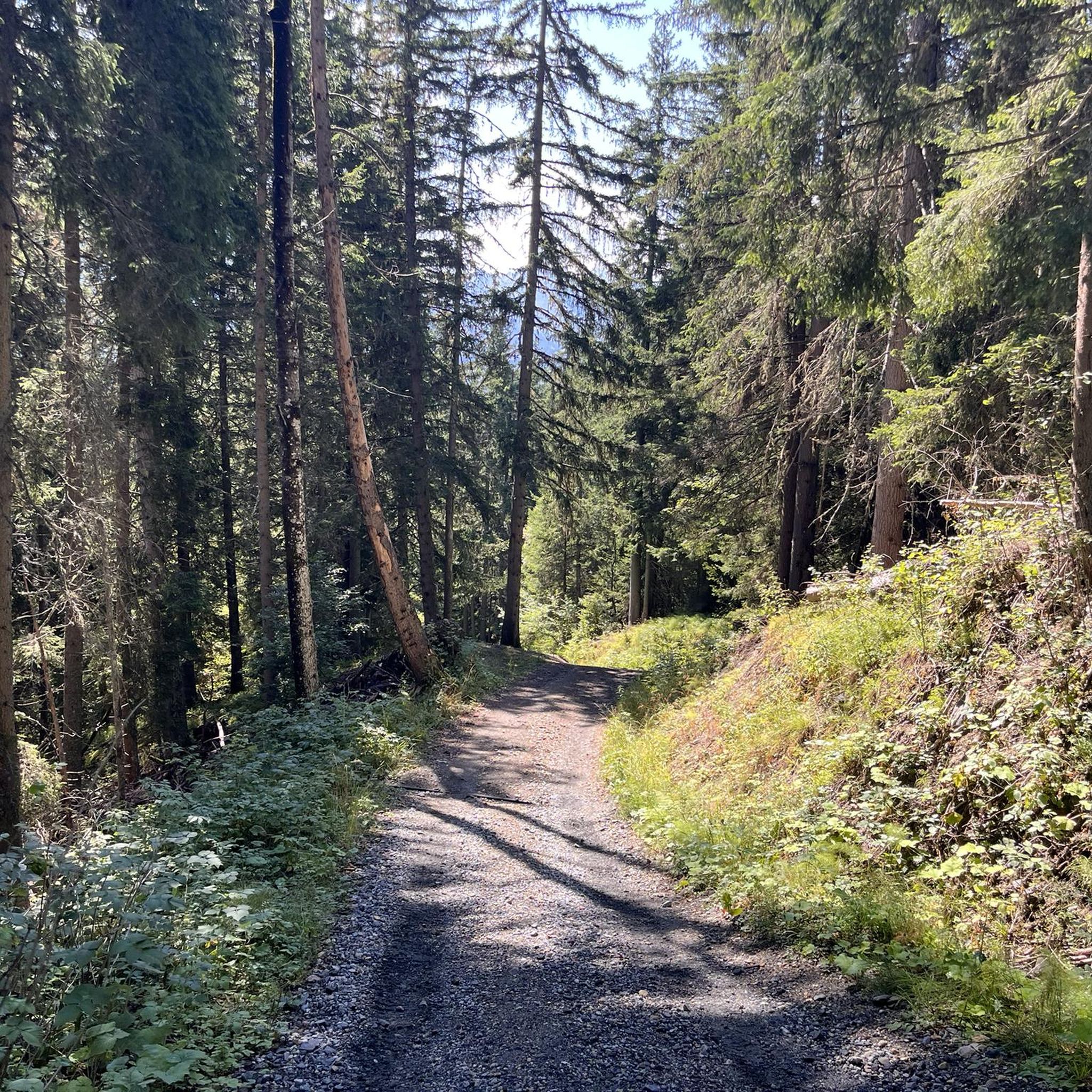
Cross-country ski trail in winter, in summer this place turns into easy forest trails for safe bike rides. Mainly in the shade, pleasant in summer during heatwaves ;)
0
0

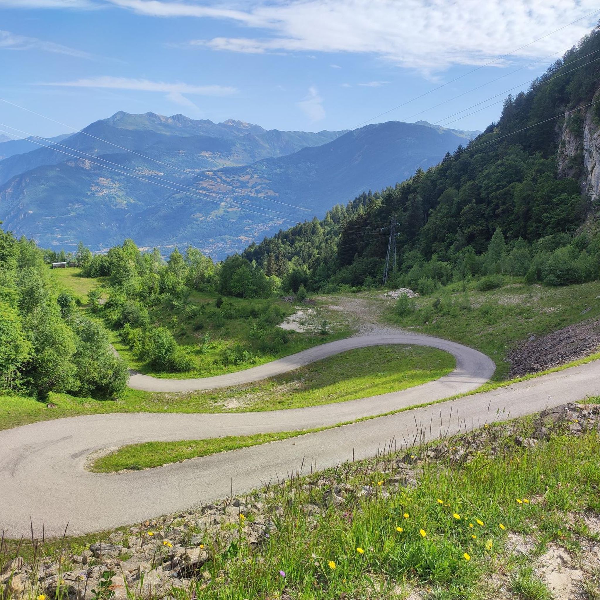
Beautiful 22 kilometer unpaved climb to the Col du Jovet above Bozel in the Vanoise Alps. It is a huge and fabulous climb (almost 2000 meters of ascent). But the views from the top of the south side, including an attractive farm road, promised an even better climb. We start at Bozel, well below Courchevel. The first 6 kilometers are paved, but it turns into a bumpy farm road at 1300 meters of altitude. After the flat part in the middle of the previous profile, the route rises above the tree line. The trail is occasionally very rough and rocky, although it gets better higher up. But this requires a mountain bike or at least a suspension hybrid. The path ends at 2360 meters at the Refuge du Jovet, but the Col itself is only a few hundred meters away, a short steep walk.
1
0

Absolutely sublime...however requires good physical condition, good cardio and good shoes. Pay attention to certain passages if you don't want to find yourself 500m lower!
0
1

superb landscapes, well marked walks
0
1

Frequently Asked Questions
What are the typical difficulty levels for mountaineering routes around Salins-Fontaine?
The mountaineering routes in Salins-Fontaine primarily range from moderate to difficult. There are 3 moderate routes and 2 difficult routes listed in this guide, offering varied challenges for experienced hikers.
Are there any routes suitable for advanced mountaineers seeking a challenge?
Yes, for advanced mountaineers, routes like the Mont Jovet – Col du Jovet loop from Notre-Dame-du-Pré offer a significant challenge. This difficult route spans 14.3 miles (23.0 km) with over 1400 meters of elevation gain, typically taking over 9 hours to complete.
What kind of distances and elevation gains can I expect on mountaineering routes in this region?
Mountaineering routes around Salins-Fontaine vary significantly. You can find shorter moderate routes, such as the Lac de l'Arpettaz loop from Le Logis des Fées, which is 3.4 miles (5.5 km) with about 327 meters of ascent. Longer, more challenging routes, like the Mont Jovet – Col du Jovet loop from Notre-Dame-du-Pré, can extend to 14.3 miles (23.0 km) with over 1400 meters of elevation gain.
Where can I find parking for mountaineering routes near Salins-Fontaine?
Many routes start from accessible points where parking is often available. For example, the Col du Galot – View of the Valley loop specifically mentions starting from 'Parking Cheval Blanc', indicating a designated parking area.
Is it possible to access mountaineering routes around Salins-Fontaine using public transport?
While specific public transport links to every trailhead can vary, some starting points like Notre-Dame-du-Pré or Saint-Martin-de-Belleville may be reachable by local bus services, especially during peak seasons. It's advisable to check local transport schedules for the specific village closest to your chosen route's starting point.
Are there family-friendly mountaineering options in Salins-Fontaine?
While there are no routes classified as 'easy' in this guide, some moderate routes might be suitable for active families with mountaineering experience. The Lac de l'Arpettaz loop from Le Logis des Fées is the shortest moderate route at 3.4 miles (5.5 km) and could be a good option for a family outing.
When is the best season for mountaineering in Salins-Fontaine?
The best season for mountaineering in the French Alps, including Salins-Fontaine, is typically from late spring to early autumn (June to September). During these months, trails are generally free of snow, and weather conditions are more stable, offering clearer views and safer passage through high mountain passes.
What interesting natural sights can I discover along the mountaineering routes?
The region offers stunning natural sights. You can find beautiful alpine lakes like Lac Blanc, and impressive viewpoints such as the View of the Cascade du Morel or the Croix de Feissons Viewpoint. Many routes also lead to various summits and mountain passes, providing panoramic vistas.
Are there any notable viewpoints or summits to aim for during a mountaineering trip?
Absolutely. The area is rich with high points offering spectacular views. You could aim for the Col de la Loze Summit (2304 m), La Saulire Summit, or Longecha Summit. These offer rewarding perspectives of the surrounding alpine landscape.
Are there circular mountaineering routes available in Salins-Fontaine?
Yes, many of the mountaineering routes in this guide are circular, allowing you to start and end at the same point. Examples include the popular Roc de la Lune – Gege loop from Béranger and the Petit Dôme Above Lachat – Lachat Hamlet loop from Saint-Martin-de-Belleville.
How many mountaineering routes are available in Salins-Fontaine through komoot?
There are 5 mountaineering routes detailed in this guide for Salins-Fontaine, offering a range of moderate to difficult options to explore the region's high mountain passes, alpine lakes, and forested slopes.
What do other mountaineers say about the routes in Salins-Fontaine?
The mountaineering routes in Salins-Fontaine are highly rated by the komoot community, with an average score of 4.5 stars from 5 reviews. Mountaineers often praise the varied terrain, panoramic views, and the challenging yet rewarding ascents found in the region.
Most popular routes around Salins-Fontaine
Most popular attractions around Salins-Fontaine

Get inspired with the komoot mobile app


Explore more
Browse the best Mountain Hikes & Routes in other regions.
