The best walks and hikes around Fransart
4.4
(10)
42
hikers
13
hikes
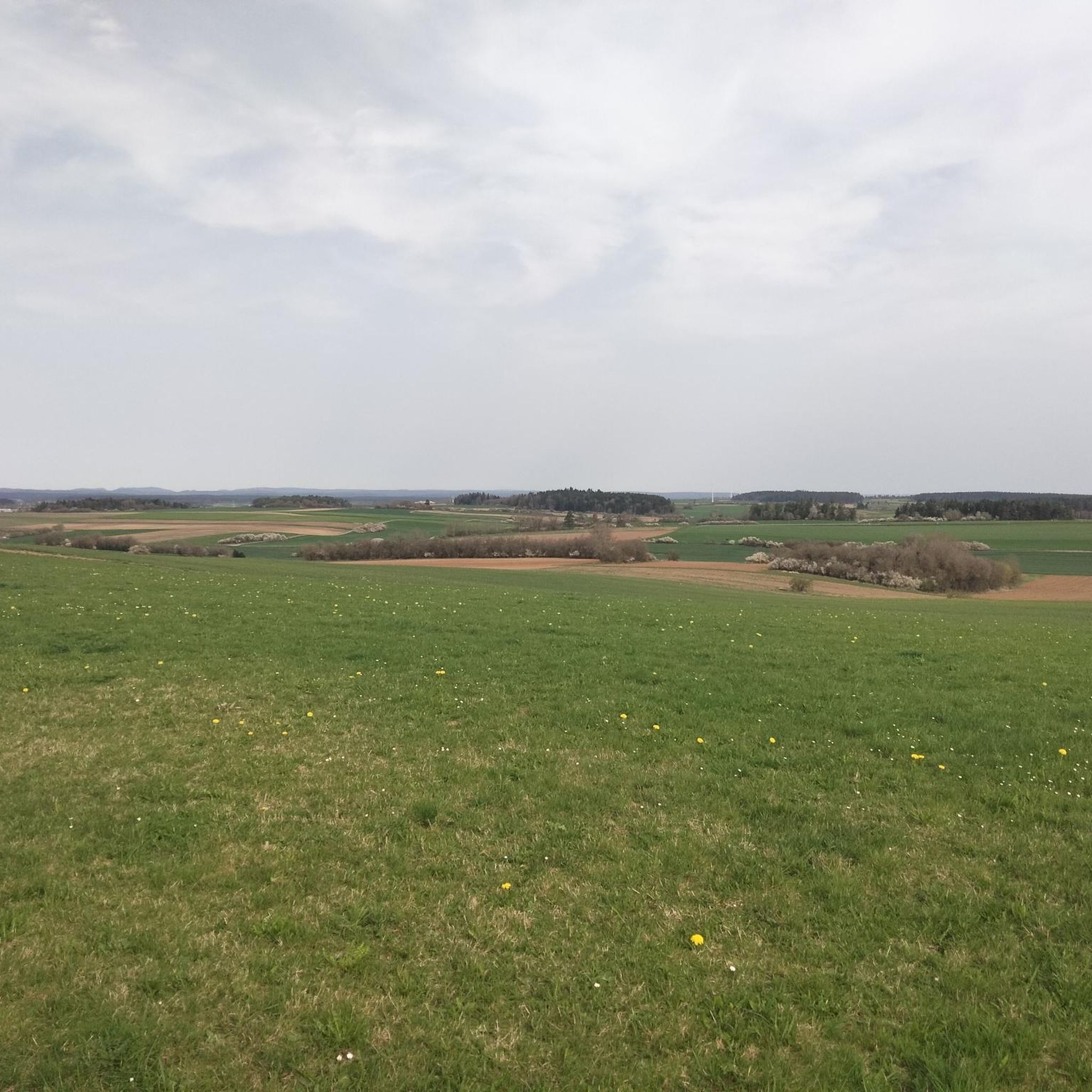
Hiking around Fransart offers access to the diverse landscapes of the Somme department. The region is situated on the Santerre plateau, characterized by deep loess and gentle river valleys, including those of the Somme and Ancre. Hikers can explore a blend of open countryside and wooded sections, with the terrain generally featuring a gently rolling profile. These natural features provide varied environments for outdoor activities.
Best hiking trails around Fransart
- The most popular hiking route is Demouy Park Pond loop…
Last updated: May 11, 2026
4.5
(2)
6
hikers
8.37km
02:09
40m
40m
Moderate hike. Good fitness required. Easily-accessible paths. Suitable for all skill levels.
4.0
(3)
5
hikers
7.24km
01:53
50m
50m
Easy hike. Great for any fitness level. Easily-accessible paths. Suitable for all skill levels.

Sign up for free
4
hikers
5.46km
01:23
10m
10m
Easy hike. Great for any fitness level. Easily-accessible paths. Suitable for all skill levels.
5.0
(1)
5
hikers
13.2km
03:26
90m
90m
Moderate hike. Good fitness required. Easily-accessible paths. Suitable for all skill levels.
2.0
(1)
3
hikers
5.22km
01:22
40m
40m
Easy hike. Great for any fitness level. Easily-accessible paths. Suitable for all skill levels.
Get access to more routes and recommendations from other explorers.
Sign up for free
Already have an account?
Our route recommendations are based on thousands of hikes, rides, and runs completed by other people on komoot.
Start today with a free account
Your next adventure awaits.
Login or Signup



Tips from the Community

Frequently Asked Questions
What kind of terrain can I expect when hiking around Fransart?
Hiking around Fransart primarily involves the gently rolling landscape of the Santerre plateau, characterized by deep loess and small river valleys. You'll find a mix of open countryside, agricultural fields, and wooded sections. The terrain is generally not steep, making for pleasant walks through varied natural settings.
How many hiking trails are available in the Fransart area, and what are their difficulty levels?
There are over a dozen hiking routes available around Fransart. The trails cater to various fitness levels, with 6 routes classified as easy and 6 as moderate. There are no difficult trails, making the area accessible for most hikers.
Are there any family-friendly hiking options near Fransart?
Yes, Fransart offers several easy routes suitable for families. For example, the Bunker Remains loop from Méharicourt is an easy 5.4 km trail that takes around 1 hour 20 minutes, offering a gentle walk. Many of the trails feature relatively flat terrain and wooded sections, which are ideal for walks with children.
Can I bring my dog on the hiking trails around Fransart?
Generally, dogs are welcome on hiking trails in the Fransart area, especially on public paths and through natural areas. However, it's always recommended to keep them on a leash, particularly when passing through agricultural land, near livestock, or in nature reserves to protect local wildlife and ensure a pleasant experience for all users. Always check local signage for specific restrictions.
Are there any circular hiking routes available near Fransart?
Yes, many of the trails around Fransart are designed as circular routes, allowing you to start and end at the same point. A popular option is the Park Bench – Castany loop from Saint-Mard, an easy 7.2 km trail that takes just under 2 hours to complete, offering varied countryside views.
What natural features or landmarks can I expect to see on hikes around Fransart?
While Fransart itself is a small commune, its surrounding region in the Somme department offers diverse natural features. You can explore the gentle river valleys of the Somme and Ancre, picturesque wooded areas like the Bois de la Carnaude, and the open landscapes of the Santerre plateau. Some routes, such as the Demouy Park Pond loop from Roye, offer views of local parkland and ponds.
What is the best time of year to go hiking in Fransart?
The best time for hiking around Fransart is typically from spring to autumn (April to October). During these months, the weather is generally mild and pleasant, and the natural landscapes are vibrant. Spring brings blooming wildflowers, while autumn offers beautiful foliage. Winter hiking is possible, but trails may be muddy or icy, and daylight hours are shorter.
Where can I park my car when hiking near Fransart?
Parking is generally available in the villages and towns that serve as starting points for the hiking trails. For example, routes like the Bois de la Carnaude – Bois de Liancourt loop start from Liancourt-Fosse, where you can usually find local parking options. It's advisable to check specific starting points for designated parking areas or street parking availability.
Are there any cafes or pubs near the hiking trails in Fransart?
While Fransart is a small village, you can find cafes, pubs, and restaurants in larger nearby towns and villages within the Somme department. Roye, for instance, which is a starting point for some trails like the Park Bench – Castany loop from Roye, offers more amenities for refreshments after your hike.
What do other hikers enjoy most about the trails around Fransart?
The hiking trails around Fransart are highly rated by the komoot community, with an average score of 4.4 stars from over 10 reviews. Hikers often praise the quiet, natural settings, the varied countryside views, and the accessibility of the routes, which offer a good mix of open fields and wooded paths suitable for different abilities.
What kind of wildlife might I encounter on hikes around Fransart?
The Somme region, including the areas around Fransart, is rich in biodiversity. On your hikes, you might spot various bird species, small mammals like rabbits and foxes, and insects. The nearby wetlands and forests, such as those in the Baie de Somme (though further afield), are particularly known for migratory birds. Always observe wildlife from a distance and avoid disturbing their natural habitats.
Are there any historical sites or points of interest along the hiking routes?
The Somme department has significant historical importance, particularly related to World War I. While specific historical sites directly on every trail near Fransart are not detailed, some routes, like the Bunker Remains loop from Méharicourt, hint at the region's past. Exploring the wider Somme area will reveal numerous memorials, battlefields, and museums for those interested in history. For more on the region's history, you can visit archaeology-travel.com.

Get inspired with the komoot mobile app


Explore more
Browse the best Hikes in other regions.
