The best walks and hikes around Courcelles-Sous-Thoix
4.6
(72)
266
hikers
33
hikes
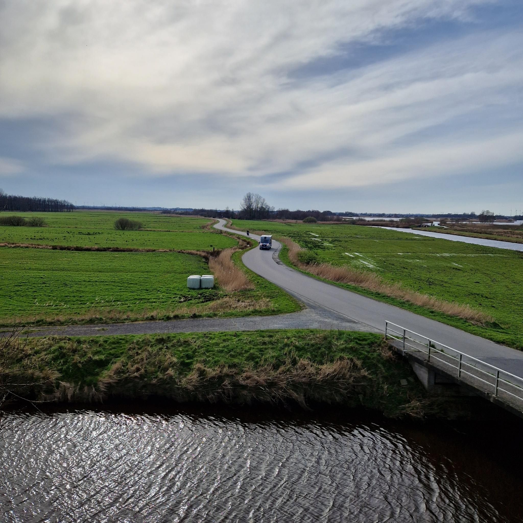
Hiking around Courcelles-Sous-Thoix offers routes through rural landscapes characterized by gentle terrain and historical features. The area features open fields, small woodlands, and paths that often follow former railway lines. Elevations are generally low, making many trails accessible for various fitness levels.
Best hiking trails around Courcelles-Sous-Thoix
- The most popular hiking route is Abandoned Railway Bridge loop from Tilloy-lès-Conty, a 5.9 miles (9.6 km) trail that takes 2 hours 25 minutes to complete. This moderate route follows an old…
Last updated: November 7, 2026
4.8
(8)
25
hikers
9.60km
02:26
20m
20m
Moderate hike. Good fitness required. Easily walkable paths.
4.7
(3)
15
hikers
15.3km
04:02
130m
130m
Moderate hike. Good fitness required. Easily walkable paths.

5.0
(2)
17
hikers
3.03km
00:50
50m
50m
Easy hike. Easily walkable paths.
4.5
(2)
11
hikers
21.1km
05:33
190m
190m
Hard hike. Very good fitness required. Easily walkable paths.
4.7
(3)
8
hikers
11.4km
02:58
70m
70m
Moderate hike. Good fitness required. Easily walkable paths.
Get access to more routes and recommendations from other explorers.
Already have an account?
Our route recommendations are based on thousands of hikes, rides, and runs completed by other people on komoot.
Start today with a free account
Your next adventure awaits.

Tips from the Community

For the technicians, in the middle of nature around large fish bees
0
0
Frequently Asked Questions
How many hiking trails are there in Courcelles-Sous-Thoix?
There are over 30 hiking trails around Courcelles-Sous-Thoix. The komoot community has recorded 33 routes, offering a variety of options for different skill levels.
What kind of terrain can I expect on hikes around Courcelles-Sous-Thoix?
The region features gentle terrain, characterized by open fields, small woodlands, and paths that often follow former railway lines. Elevations are generally low, making many trails accessible.
Are there easy hiking trails suitable for beginners in Courcelles-Sous-Thoix?
Yes, Courcelles-Sous-Thoix offers 8 easy hiking trails, perfect for beginners or those looking for a relaxed walk. A great option is La Montagne de Guizancourt loop from Guizancourt, an easy 1.9-mile (3.0 km) path.
Are there any challenging hikes for experienced hikers in the area?
While the terrain is generally gentle, there are a couple of more challenging routes. For instance, the Abandoned Railway Bridge loop from Conty is a difficult 13.1-mile (21.0 km) trail that offers a longer and more demanding experience.
Are there any circular hiking routes in Courcelles-Sous-Thoix?
Many of the trails in the area are designed as loops, offering convenient circular routes. Examples include the popular Abandoned Railway Bridge loop from Tilloy-lès-Conty and La Montagne de Guizancourt loop from Guizancourt.
What can I see along the hiking trails around Courcelles-Sous-Thoix?
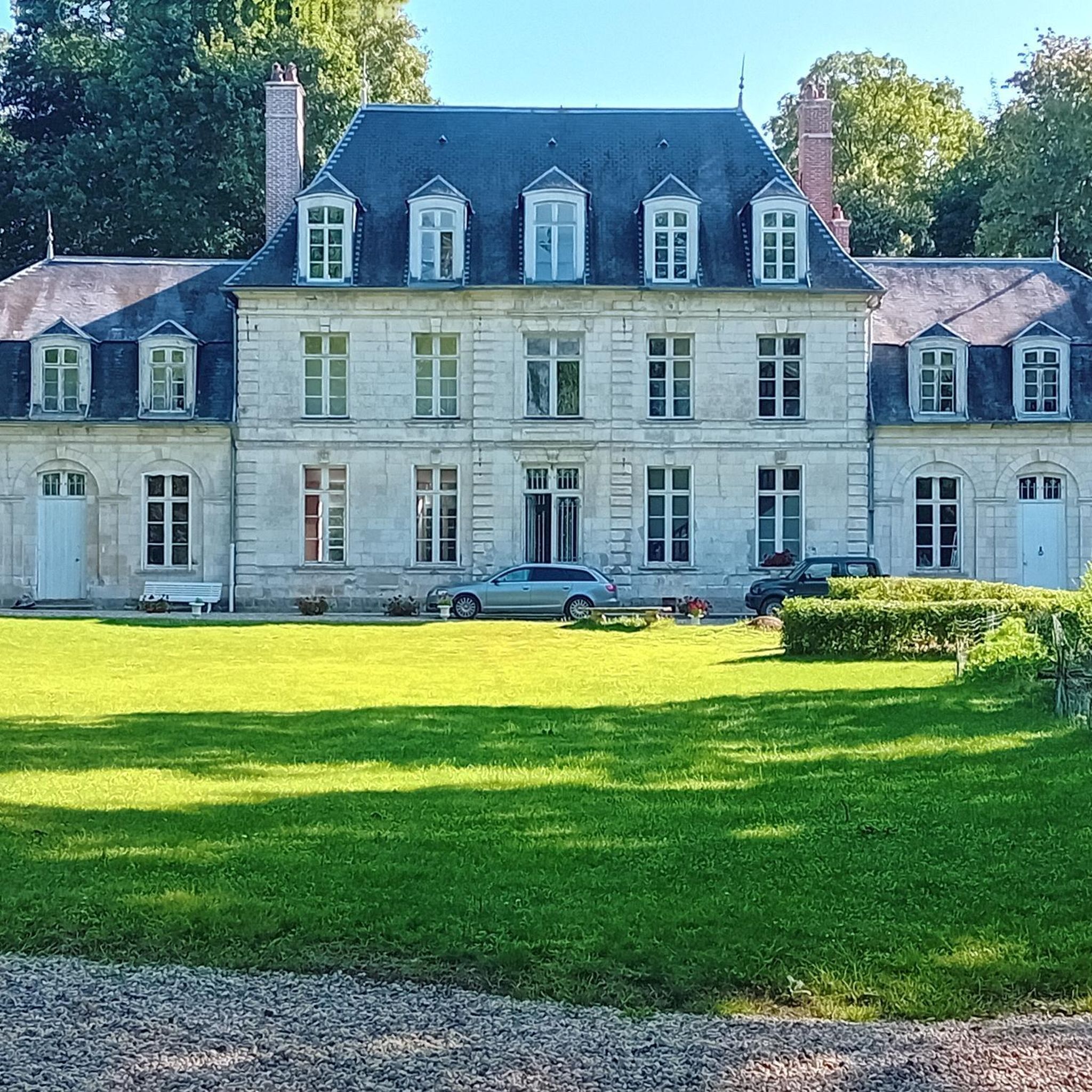
Hikers can explore historical features and natural beauty. Notable attractions include the Courcelles-sous-Moyencourt Castle, the scenic Vallée de la Selle, and sections of the Former Coulée Verte railroad line.
Are the hiking trails around Courcelles-Sous-Thoix suitable for families with children?
Given the generally low elevations and gentle terrain, many trails are suitable for families. The easier, shorter loops, such as La Montagne de Guizancourt loop from Guizancourt, are particularly good choices for outings with children.
Can I bring my dog on the hiking trails in Courcelles-Sous-Thoix?
Most rural trails in France are dog-friendly, especially if dogs are kept on a leash. It's always recommended to check local signage for any specific restrictions, particularly in nature reserves or near livestock.
What do other hikers enjoy most about hiking in Courcelles-Sous-Thoix?
The area is highly rated by the komoot community, with an average score of 4.6 stars from over 40 reviews. Hikers often praise the quiet rural landscapes, the well-maintained paths, and the historical elements like old railway lines that add character to the routes.
Is there parking available near the hiking trailheads?
Parking is generally available in the villages and towns that serve as starting points for the trails, such as Conty, Tilloy-lès-Conty, and Guizancourt. Specific parking information can often be found on individual route descriptions on komoot.
What is the best time of year to hike in Courcelles-Sous-Thoix?
Due to the gentle terrain and open fields, hiking is enjoyable for much of the year. Spring and autumn offer pleasant temperatures and beautiful scenery. Summer can be warm in the open areas, while winter hikes are possible, though some paths might be muddy after rain.
Are there any viewpoints or scenic spots along the trails?
While the region is generally flat, trails often offer expansive views across the open agricultural landscapes. The Mont de Velennes and the View of the Château de Namps-au-Mont are specific highlights that provide scenic vistas.
Most popular routes around Courcelles-Sous-Thoix
Most popular attractions around Courcelles-Sous-Thoix

Get inspired with the komoot mobile app


Explore more
Browse the best Hikes in other regions.
