The best mountain hikes around Omex
4.7
(6)
40
hikers
7
hikes
Mountaineering routes around Omex traverse a landscape characterized by significant elevation changes and varied terrain, typical of a mountainous region. The area features prominent peaks and offers numerous loop routes that explore both high-altitude sections and lower valleys. These paths often involve substantial ascents and descents, providing a robust challenge for mountaineers.
Best mountaineering routes around Omex
- The most popular mountaineering route is Pic du Pibeste – Col des Portes loop from Ouzous, a 7.4 miles (12.0 km) trail…
Last updated: October 11, 2026
4.7
(3)
12
hikers
11.8km
04:25
790m
790m
Moderate mountaineering route. Good fitness required. Easily-accessible paths. Suitable for all skill levels.
5.0
(1)
6
hikers
8.70km
03:01
500m
500m
Moderate mountaineering route. Good fitness required. Easily-accessible paths. Suitable for all skill levels.

4.5
(2)
5
hikers
14.5km
05:58
990m
990m
Hard mountaineering route. Very good fitness required. Sure-footedness, sturdy shoes and alpine experience required.
2
hikers
6.69km
02:50
570m
570m
Moderate mountaineering route. Good fitness required. Easily-accessible paths. Suitable for all skill levels.
2
hikers
4.55km
01:56
330m
330m
Moderate mountaineering route. Good fitness required. Mostly accessible paths. Sure-footedness required.
Get access to more routes and recommendations from other explorers.
Already have an account?
Our route recommendations are based on thousands of hikes, rides, and runs completed by other people on komoot.
Start today with a free account
Your next adventure awaits.
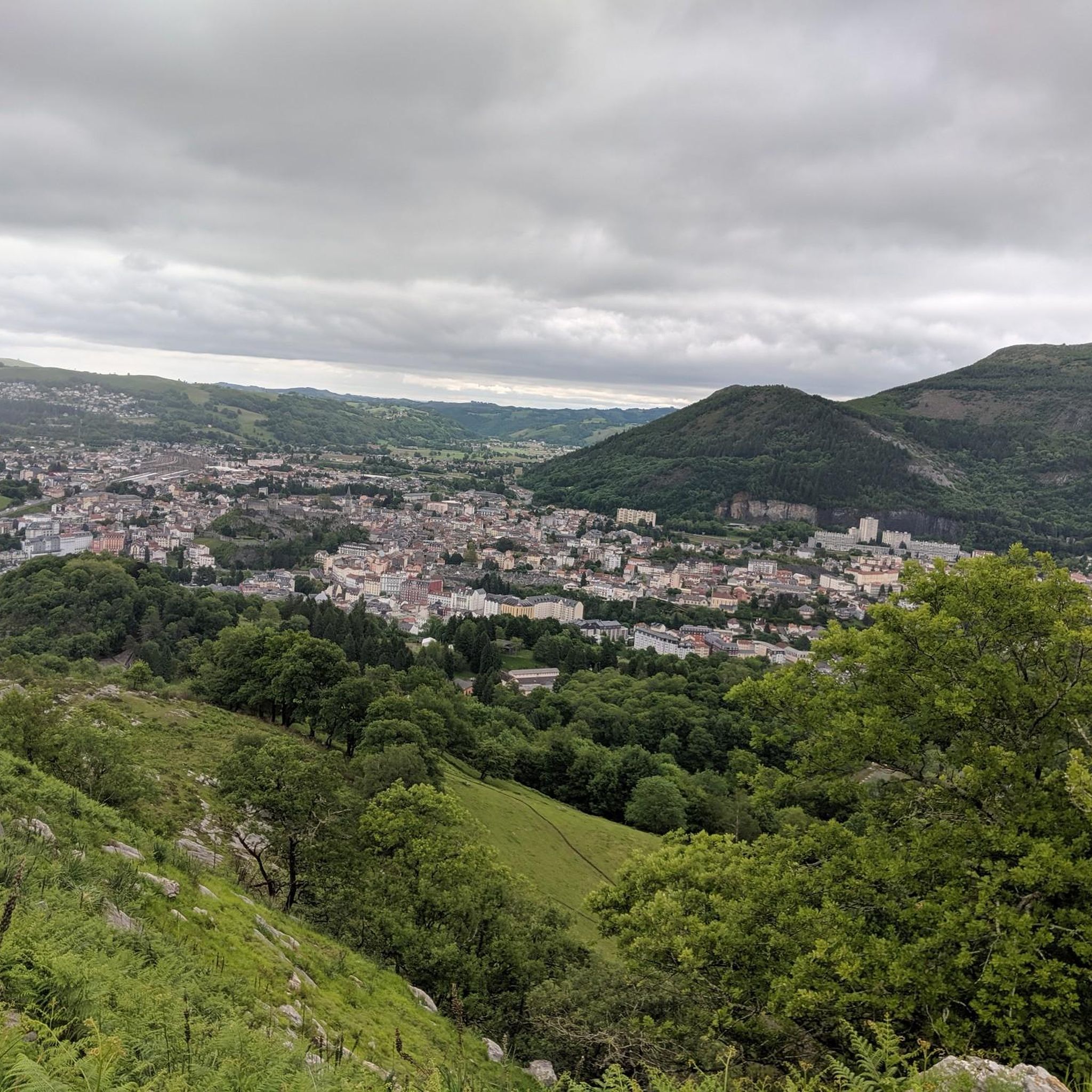
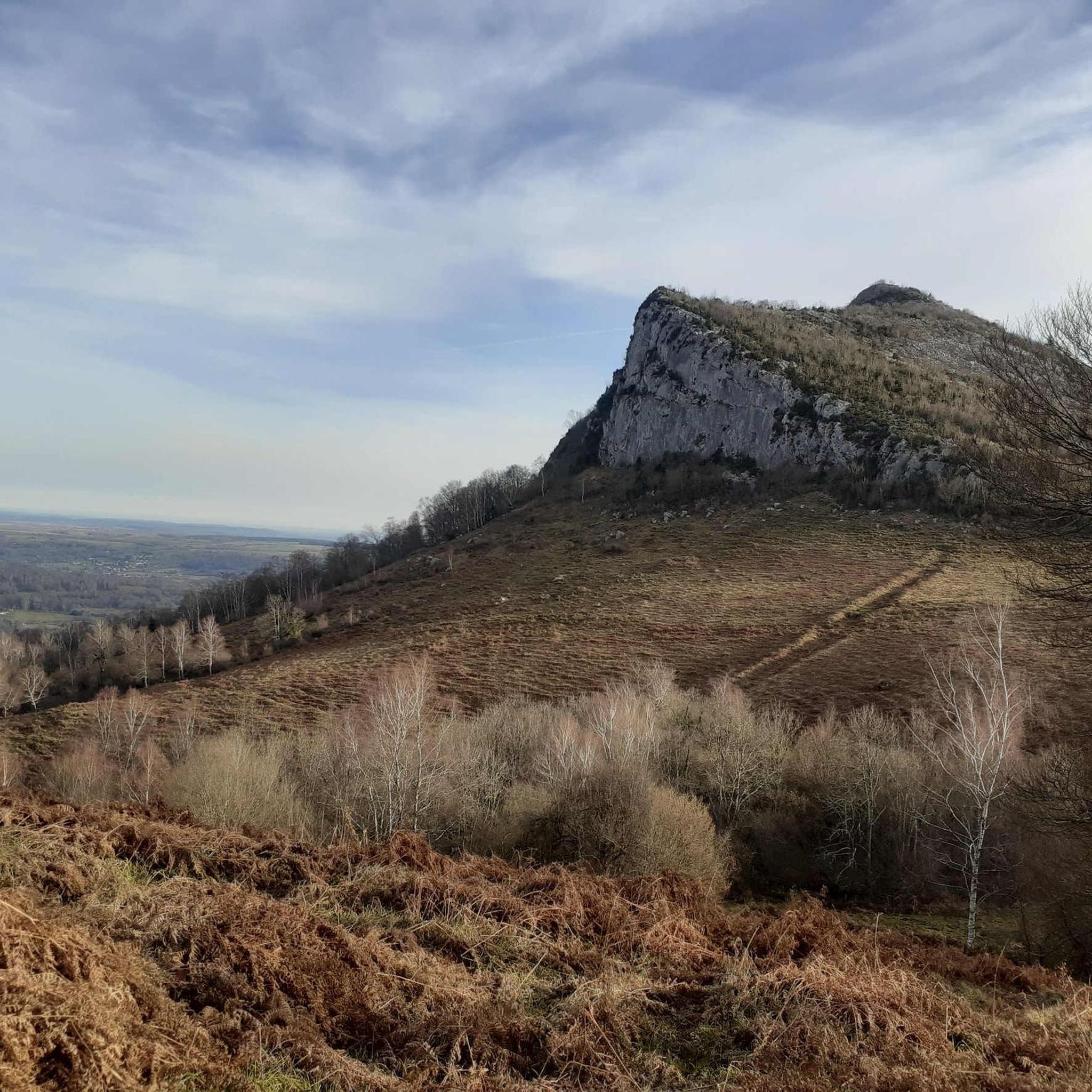

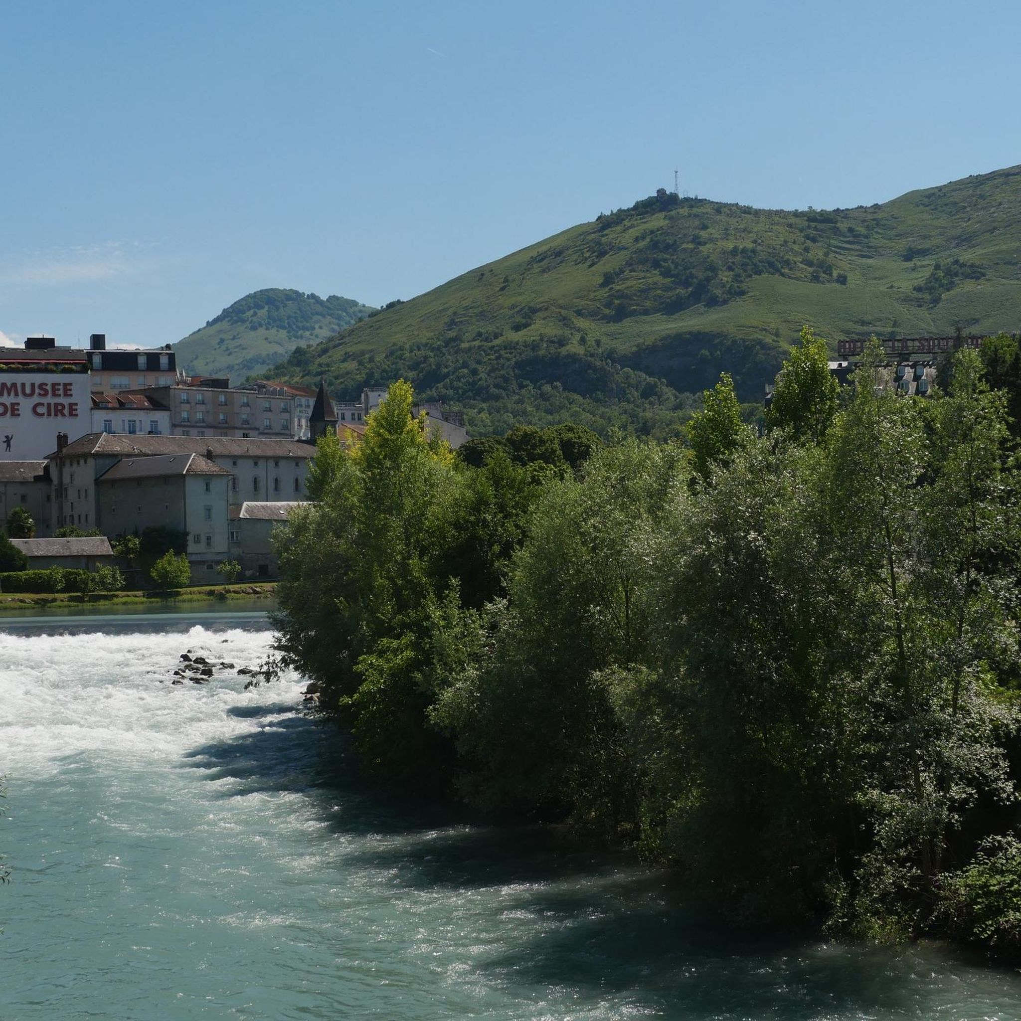
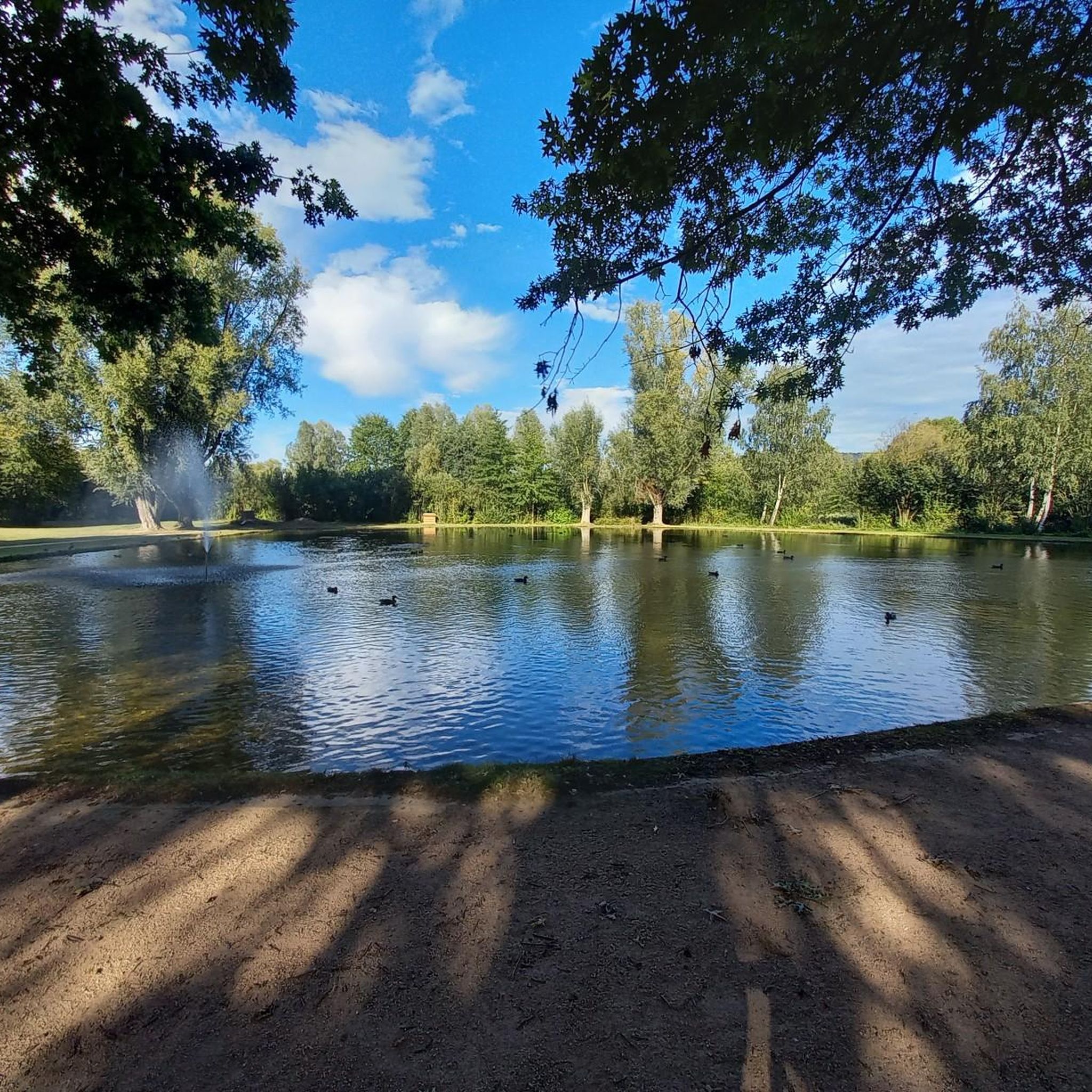
Tips from the Community

Bonjour, Currently, due to landslides, access to the Pic and surrounding areas is strictly prohibited.
0
0
For your information, historically this was the arrival station for the cable car. It operated until the installation of the television and radio relay. After a storm, it's not uncommon for the relay to go into standby mode. TDF has a contract that runs from Monday to Friday. In case of a power outage, the weekend is reserved for reading or playing board games.
0
0

nice relaxing hike (down the mountain) not far from Lourdes
0
0
hike to do in dry weather, with a magnificent view of the Pic du Jer at the summit
0
0


The Jer peak peaks at 948 meters, overlooking the emblematic city of Lourdes. Also accessible by funicular, it offers a superb view of the city and its valley.
1
0

Magnificent view over the plain and the Gaves valley. On the other hand, it is not an old luxury hotel at the top, but the old cable car station. There is indeed a project to transform it into a shelter, but the funding is not forthcoming.
1
0

Magnificent viewpoint once at the top but DO NOT take the route that leaves from Parking Boissarie!! From the old cable car down to the river the hiking trail no longer exists. No choice but to go down but in the middle of brambles, nettles and a few slips. As the old hiking trail is no longer maintained, it has become dangerous. With the "good" surprise of coming face to face with hunters...
2
0
Frequently Asked Questions
What is the general difficulty level of mountaineering routes around Omex?
Mountaineering routes in Omex are primarily designed for experienced individuals. The majority of the 7 available routes are rated as moderate, with one route considered difficult. These paths often involve significant ascents and descents, providing a robust challenge.
Are there many circular mountaineering routes in Omex?
Yes, the Omex area is known for its numerous loop routes. Many of the mountaineering paths are circular, allowing you to explore both high-altitude sections and lower valleys without retracing your steps. For example, the Pic du Pibeste – Col des Portes loop from Ouzous is a popular option.
Are there any beginner-friendly or family-friendly mountaineering routes in Omex?
The mountaineering routes around Omex are generally challenging, with most rated as moderate or difficult. There are no routes specifically classified as easy, so they are best suited for individuals with some mountaineering experience. Families with younger children or beginners might find the elevation changes and terrain demanding.
What interesting sights can I see near the mountaineering routes in Omex?
Beyond the trails, Omex offers several notable attractions. You can visit the significant Lourdes sanctuary estate or explore various mountain peaks like Pibeste Peak and Pic du Jer, which often provide expansive views.
What do other mountaineers say about the routes in Omex?
The mountaineering routes in Omex are highly regarded by the komoot community, holding an average rating of 4.7 stars from over 5 reviews. More than 40 mountaineers have explored the varied terrain, often praising the challenging peak ascents and scenic loop trails.
How many mountaineering routes are available around Omex?
There are 7 distinct mountaineering routes available around Omex, offering a range of experiences from moderate to difficult. These routes are well-loved by the komoot community for their challenging nature and scenic beauty.
Which route offers panoramic views from a prominent peak?
The Pic du Pibeste – Col des Portes loop from Ouzous is a moderate 7.4-mile (12.0 km) trail that takes approximately 4 hours 27 minutes to complete. It is particularly known for its panoramic views from the Pic du Pibeste.
Is there a challenging route that involves significant elevation gain?
Yes, the Pibeste Peak loop from Agos-Vidalos is a difficult 8.9-mile (14.3 km) trail. It features substantial elevation gain, making it a robust challenge for experienced mountaineers, typically completed in about 5 hours 56 minutes.
Are there any shorter, moderate mountaineering options near Lourdes?
For a moderate and slightly shorter option near Lourdes, consider the Pic du Jer Mountain Biking – Jer Peak loop from Lourdes. This 5.4-mile (8.6 km) path ascends to Jer Peak, offering expansive vistas over the surrounding area and takes around 3 hours to complete.
What kind of terrain can I expect on the mountaineering routes in Omex?
The terrain around Omex is characterized by significant elevation changes and varied landscapes, typical of a mountainous region. You can expect paths that traverse both high-altitude sections and lower valleys, often involving substantial ascents and descents over rocky or uneven ground.
Can I find routes that lead to specific mountain peaks?
Absolutely. Many routes in Omex are designed to take you to prominent peaks. For instance, the Pibeste Peak loop from Ségus offers a direct ascent to Pibeste Peak, providing rewarding summit experiences.
What is the average duration for mountaineering routes in Omex?
The duration for mountaineering routes in Omex varies depending on the specific trail and your pace. Routes typically range from approximately 3 hours for shorter moderate paths to nearly 6 hours for more difficult and longer loops, such as the Pibeste Peak loop from Agos-Vidalos.
Most popular attractions around Omex

Get inspired with the komoot mobile app


Explore more
Browse the best Mountain Hikes & Routes in other regions.
