The best mountain hikes around Bareilles
12
hikers
1
hike
Mountaineering routes around Bareilles traverse a landscape characterized by significant elevation changes and varied terrain within the broader mountain region. The area features prominent peaks and scenic loops, offering diverse challenges for mountaineers. Routes often lead through natural features like lakes and summits, providing opportunities for exploration. This region provides a robust environment for mountaineering, with paths suitable for different skill levels.
Best mountaineering routes around Bareilles
- The most popular mountaineering route is Lac de Payolle – Plo del naou…
Last updated: November 7, 2026
5
hikers
13.1km
04:28
650m
650m
Moderate mountaineering route. Good fitness required. Easily walkable paths.
4
hikers
11.3km
03:59
620m
620m
Moderate mountaineering route. Good fitness required. Easily walkable paths.

3
hikers
6.27km
02:24
370m
360m
Moderate mountaineering route. Good fitness required. Mostly walkable paths. Sure-footedness required.
Our route recommendations are based on thousands of hikes, rides, and runs completed by other people on komoot.
Start today with a free account
Your next adventure awaits.

Tips from the Community

Pleasant and legendary climb used by the Tour de France
1
0

A very nice short hike. The beginning is very steep, then passes through the forest, before becoming open with magnificent views. The return begins with a 10-minute walk through a rather unpleasant meadow, then it's easy.
0
0

Here begins the official start of the climb to the Hourquette d'Ancizan, made in 2024 on the Tour de France. On the program, eight kilometers at an average of 5%.
0
0

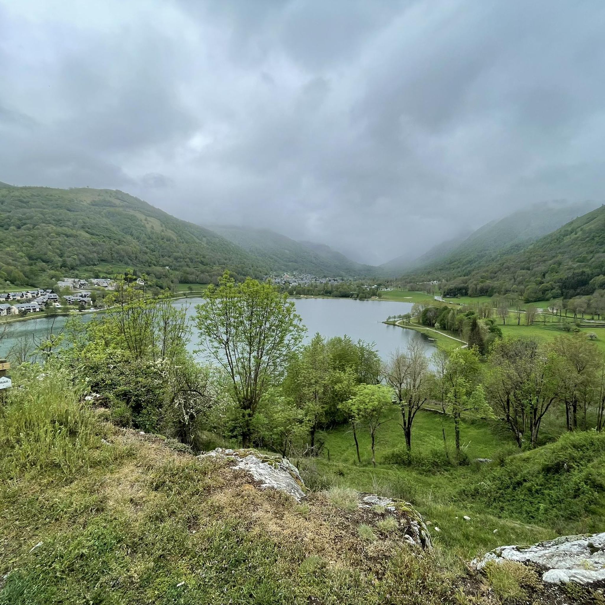
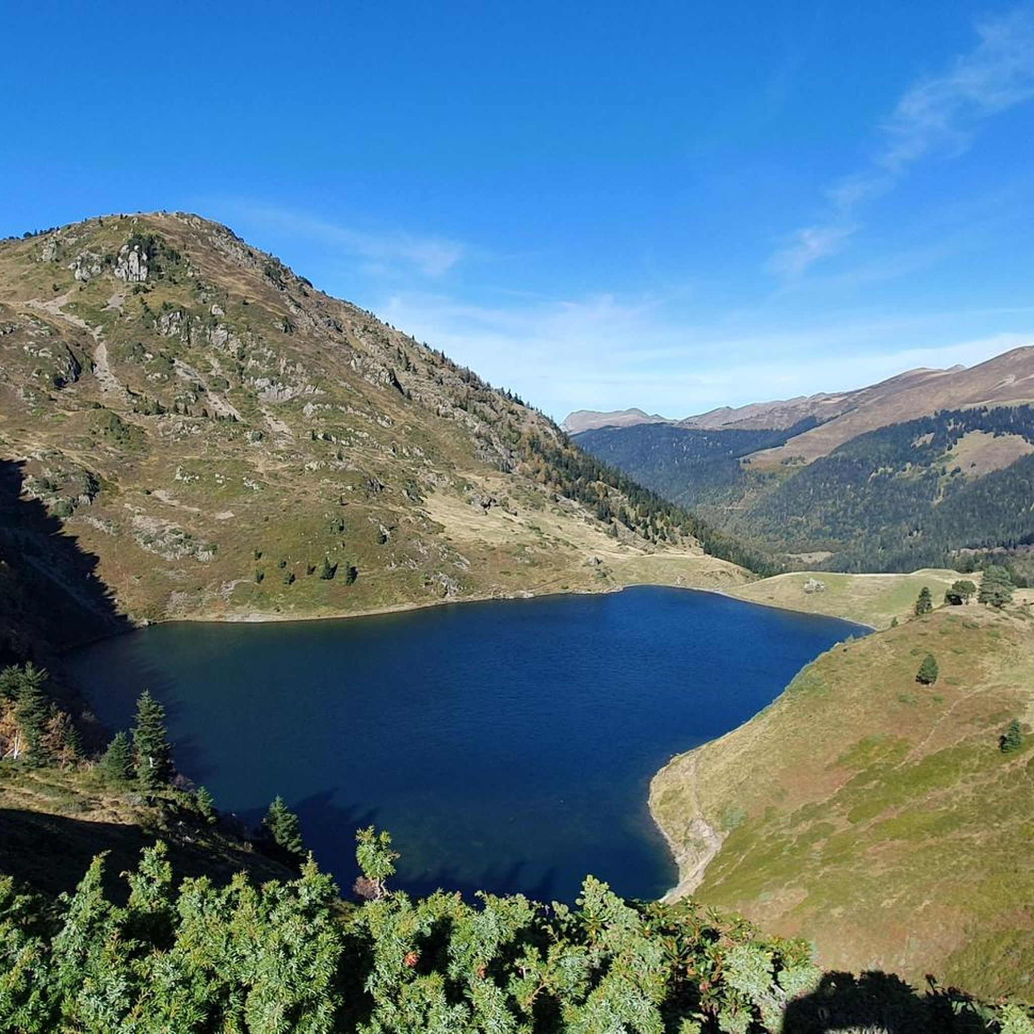
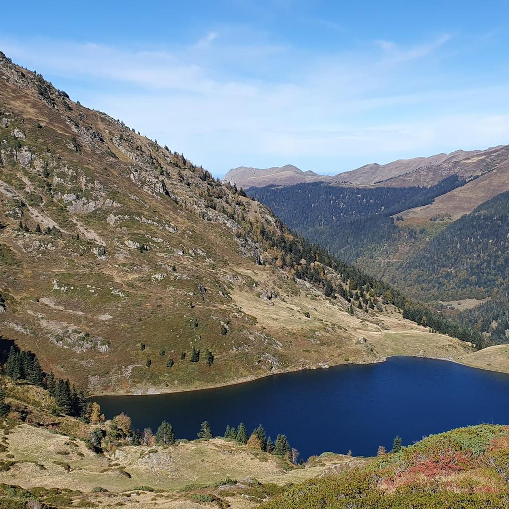
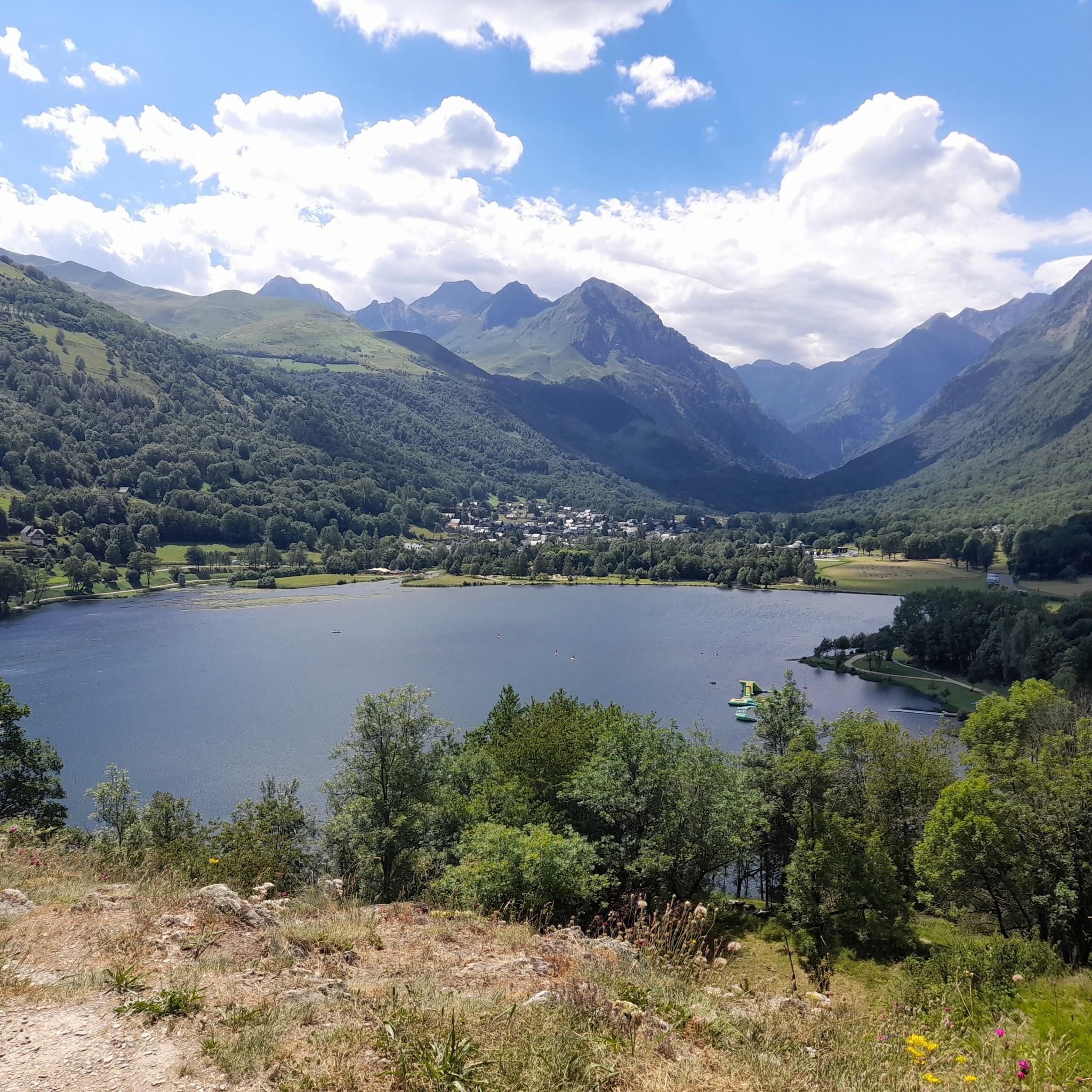
A beautiful lake, the tour is easy to do!
0
0

Incredible panoramic view of the surrounding valleys and peaks, including the Pic du Midi, the Col du Tourmalet and the Aure valley.
2
0

The summit of Plo del Naou offers panoramic views of the Pyrenees, making it a great destination. At over 1,700 metres above sea level, you will be surrounded by rugged peaks. On a clear day, you can see the majestic Pic du Midi and the neighbouring peaks stretching into the distance.
2
1

Frequently Asked Questions
What is the overall difficulty level of mountaineering routes around Bareilles?
Mountaineering in Bareilles offers a range of challenges. You'll find routes suitable for both moderate and difficult ability levels, characterized by significant elevation changes and varied terrain. For example, the Lac de Payolle – Plo del naou loop from Lac de Payolle is a moderate option, while the Sommet de Pouy Louby – Pic du Lion loop from Cazaux-Fréchet-Anéran-Camors presents a more difficult ascent.
Are there any circular mountaineering routes in Bareilles?
Yes, many of the mountaineering routes around Bareilles are designed as scenic loops. For instance, the Lac de Payolle – Plo del naou loop from Lac de Payolle is a popular circular trail. Another excellent option is the Plo del naou loop from Aspin-Aure, which also offers a rewarding circular experience.
What kind of natural features can I expect to see along the mountaineering routes?
The routes often lead through diverse natural features. You can expect to encounter prominent peaks, scenic lakes like Lac de Payolle and Lake Bareilles, and mountain passes such as Col d'Aspin. The landscape is defined by its varied mountain terrain.
What do other mountaineers say about the routes in Bareilles?
The mountaineering routes in Bareilles are highly regarded by the komoot community, holding an average score of 5.0 stars from over 3 reviews. Many of the 19 mountaineers who have explored the area praise the varied terrain and rewarding views.
Are there any beginner-friendly mountaineering routes in Bareilles?
While the region is known for significant elevation changes, there are moderate routes that can be suitable for those with some experience looking to progress. The Cromlechs du Mail de Soupène loop from Benque-Dessous-et-Dessus is a moderate 6.3 km route that takes about 2 hours 23 minutes, offering a good introduction to the area's terrain.
What are some longer or more challenging mountaineering options in Bareilles?
For those seeking a more demanding experience, the Sommet de Pouy Louby – Pic du Lion loop from Cazaux-Fréchet-Anéran-Camors is a difficult 17.5 km trail. It leads through mountain summits and ridges and typically takes around 6 hours 5 minutes to complete, offering a substantial challenge.
Are there any historical or cultural landmarks along the mountaineering routes?
Yes, the area features some interesting historical and man-made monuments. You might encounter sites like the Port de Pierrefite Cromlech, an ancient stone circle, or the Espiadet Royal Quarry, offering a glimpse into the region's past.
How long do mountaineering routes in Bareilles typically take to complete?
The duration varies significantly based on the route's length and difficulty. Moderate routes like the Lac de Payolle – Plo del naou loop from Lac de Payolle typically take around 4 hours 27 minutes. More difficult and longer trails, such as the Sommet de Pouy Louby – Pic du Lion loop from Cazaux-Fréchet-Anéran-Camors, can take over 6 hours.
What are the typical elevation gains on mountaineering routes in Bareilles?
Mountaineering routes in Bareilles are characterized by significant elevation changes. For example, the moderate Lac de Payolle – Plo del naou loop from Lac de Payolle involves an elevation gain of approximately 654 meters. More challenging routes, like the Sommet de Pouy Louby – Pic du Lion loop from Cazaux-Fréchet-Anéran-Camors, can have ascents of over 920 meters.
Are there any other notable mountain passes or viewpoints accessible from Bareilles?
Beyond Col d'Aspin, the region offers other significant mountain passes that provide stunning views. These include Hourquette d'Ancizan, Peyresourde Pass, and Port de Balès, all offering unique perspectives of the surrounding mountain landscape.
What kind of terrain can I expect on the mountaineering trails?
The terrain around Bareilles is varied, ranging from paths around lakes to challenging ascents towards peaks and along ridges. You'll encounter a mix of surfaces typical of mountain environments, requiring appropriate footwear and preparation for uneven ground and rocky sections.
Most popular routes around Bareilles
Most popular attractions around Bareilles

Get inspired with the komoot mobile app


Explore more
Browse the best Mountain Hikes & Routes in other regions.
