The best MTB trails around La Louvière-Lauragais
4.1
(8)
65
riders
18
rides
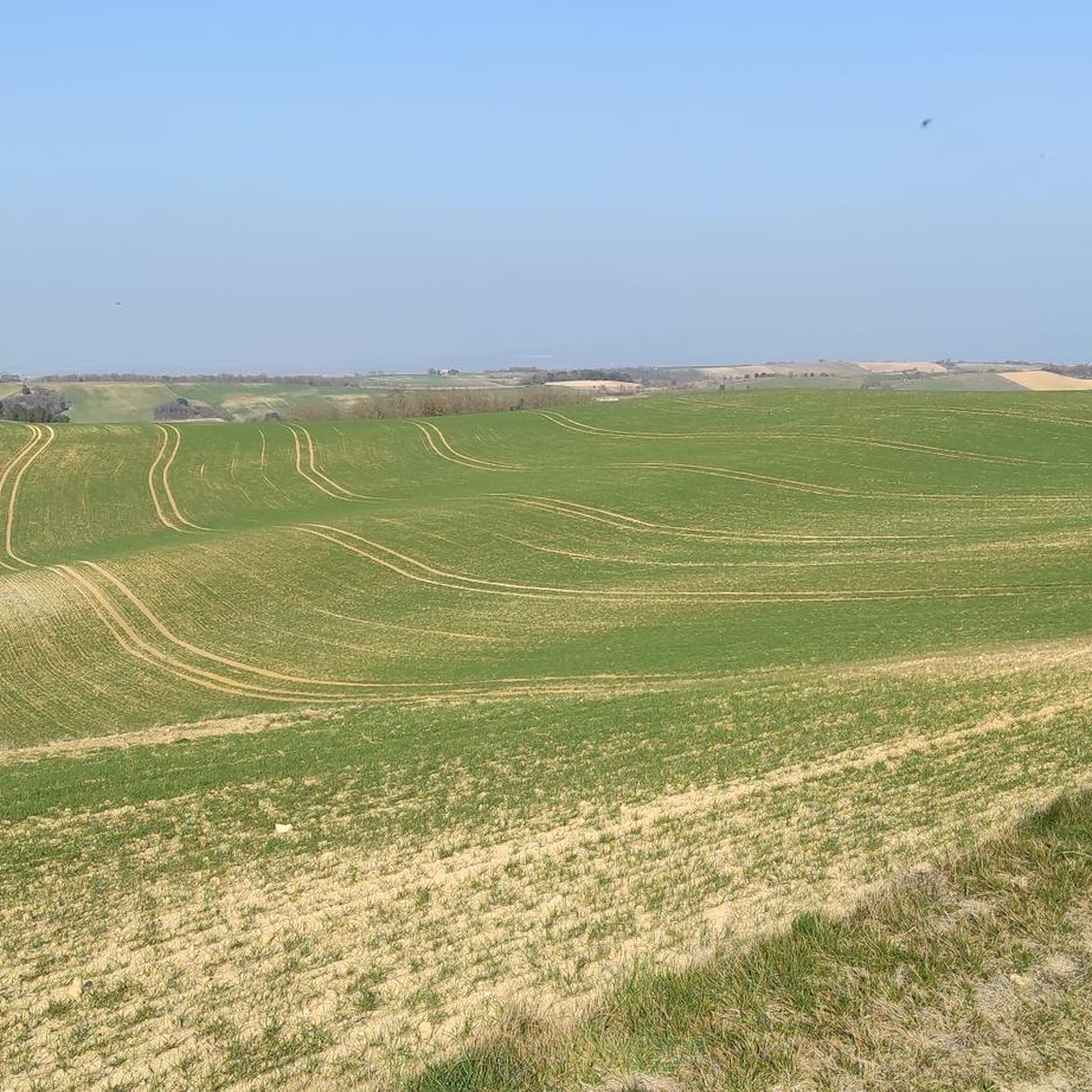
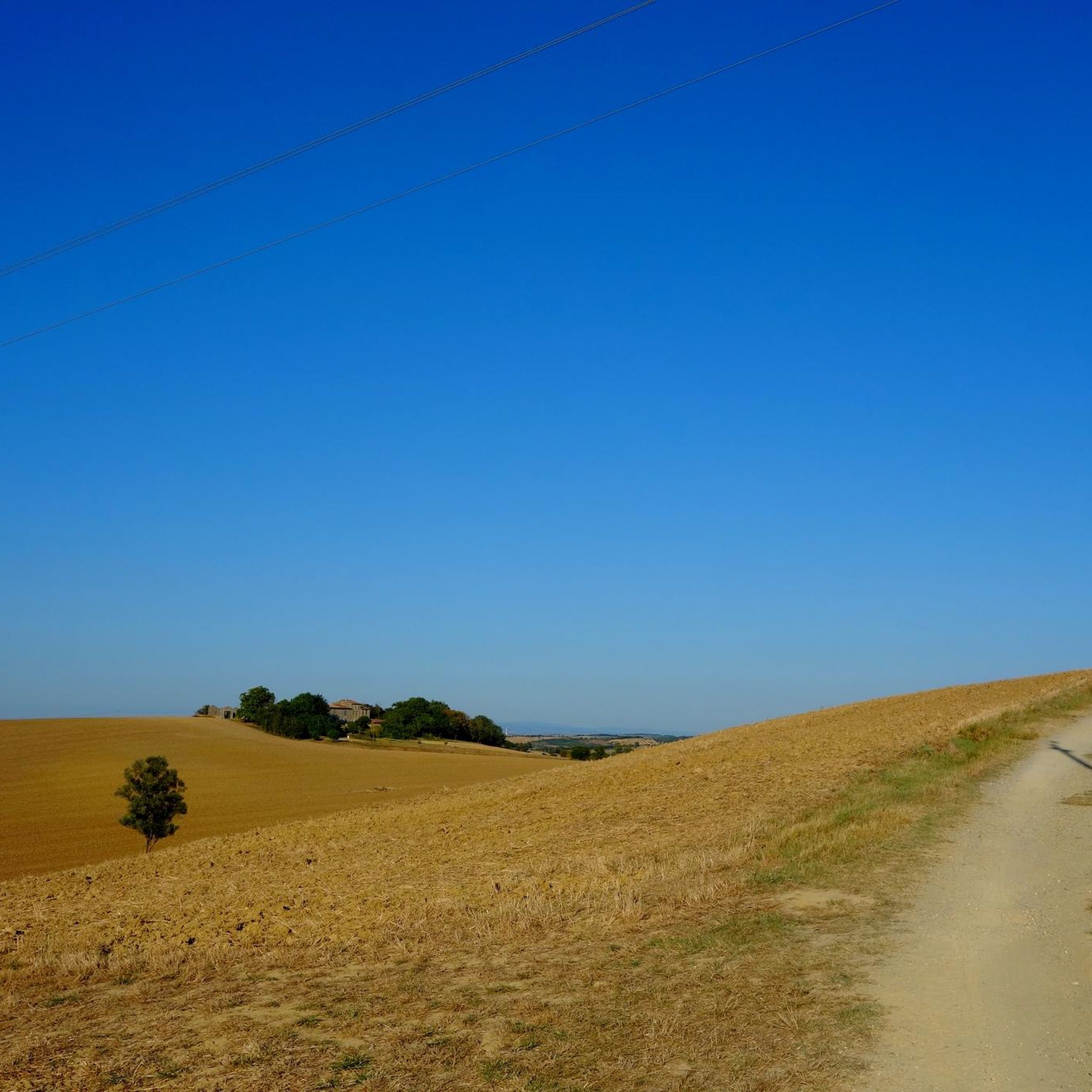
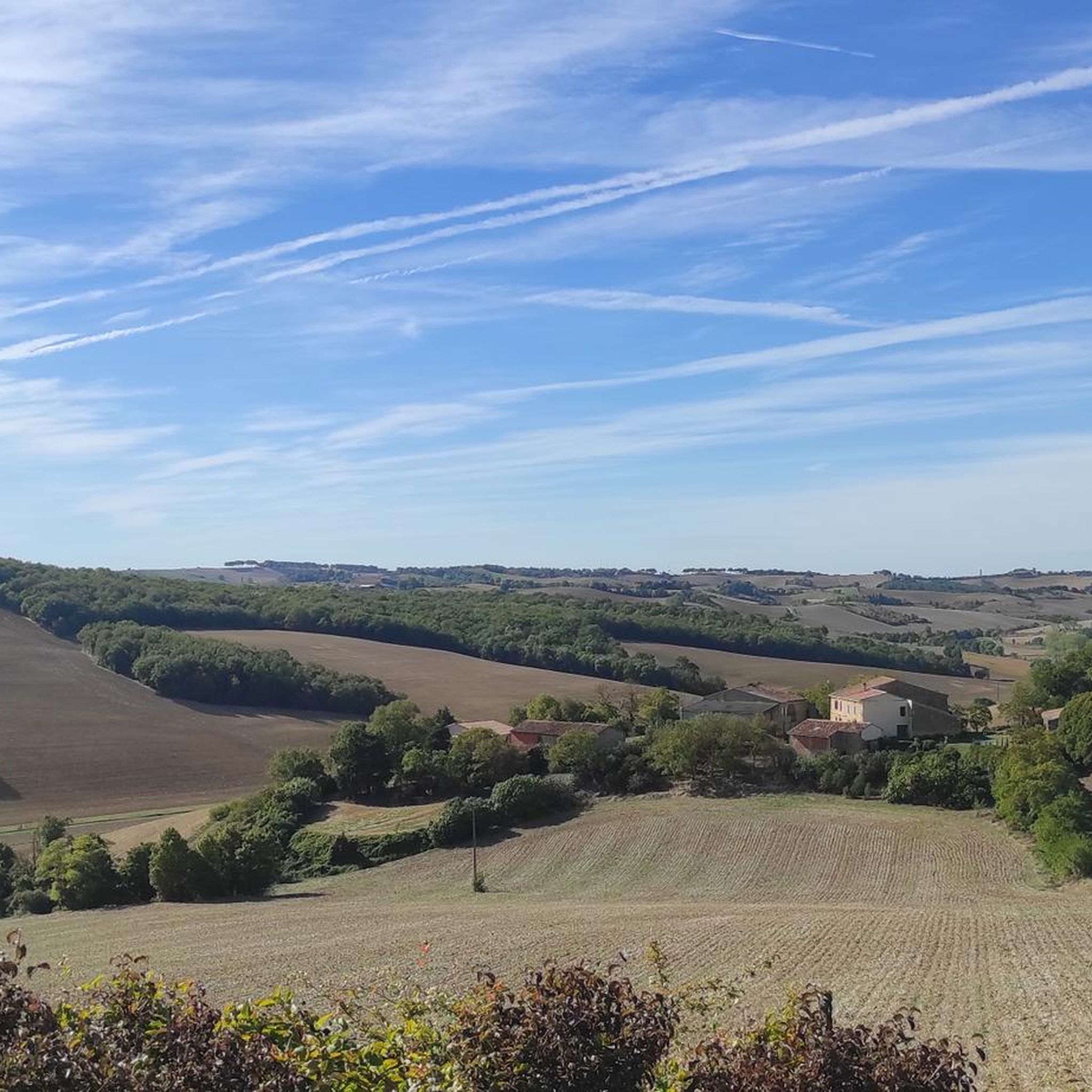
Mountain biking around La Louvière-Lauragais features diverse terrain, from the rolling countryside and gentle hills of the Lauragais to the more rugged Montagne Noire foothills. The region is characterized by expansive agricultural fields, providing varied scenery for mountain bike trails. Riders can also explore routes along the historic Canal du Midi and around local lakes, offering a mix of flat and undulating paths.
Best mountain bike trails around La Louvière-Lauragais
- The most popular mountain bike trail is Canal du midi…
Last updated: November 7, 2026
12
riders
43.9km
03:20
500m
500m
Moderate mountain bike ride. Good fitness required. Advanced riding skills necessary.
4.0
(1)
6
riders
56.6km
04:02
620m
620m
Moderate mountain bike ride. Good fitness required. Advanced riding skills necessary.

3.5
(2)
6
riders
17.8km
01:16
280m
270m
Moderate mountain bike ride. Advanced riding skills necessary.
4.0
(1)
6
riders
19.1km
01:27
260m
260m
Moderate mountain bike ride. Advanced riding skills necessary.
4.0
(1)
6
riders
16.8km
01:16
70m
70m
Easy mountain bike ride.
Get access to more routes and recommendations from other explorers.
Already have an account?
Our route recommendations are based on thousands of hikes, rides, and runs completed by other people on komoot.
Start today with a free account
Your next adventure awaits.
Tips from the Community

The Canal du Midi, formerly Canal Royal, is a 17th-century technical feat designed by Pierre-Paul Riquet to connect the Atlantic to the Mediterranean. Today, it is above all a place for relaxation and discovery, where heritage, nature, and conviviality blend together.
0
0
It is sometimes called the Naurouze lock because it is the closest lock to the Naurouze threshold. The Ocean lock marks the beginning of the ascending section of the canal when going from west to east.
0
0
Le Seuil de Naurouze is a strategic location in the operation and water supply of the Canal du Midi. The highest point on the canal's route, it is the birthplace as a watershed. Framed by the Ocean lock and the Mediterranean lock, it is from this site that the waters carried by the Rigole de la Plaine are distributed from one slope to the other.
0
0

Very cute little passageway
0
0

At the bird domain, come and learn about the biotope and observe many migratory birds thanks to the 17 observation towers of the site. The Tern, the Black-winged Stilt or the Common Snipe will no longer hold any secrets for you.
0
0
This superb commune is part of the Aguanaguès region, better known as the Ariège plain, sometimes called the lower Ariège or the Ariège foothills. The village has, among other things, superb medieval market halls.
0
0

At this lock the flow direction of the canal changes! The watershed between the Mediterranean and the Atlantic!
0
0

Very beautiful reservoir with turquoise waters
0
0
Frequently Asked Questions
What kind of terrain can I expect on mountain bike trails in La Louvière-Lauragais?
The region offers diverse terrain. You'll find rolling countryside and gentle hills in the heart of Lauragais, transitioning to more rugged and forested environments in the Montagne Noire foothills to the north. Many routes also follow the historic Canal du Midi, offering flatter sections, though some towpaths can be stony and require a mountain bike.
How many mountain bike trails are available in La Louvière-Lauragais?
There are over 20 mountain bike trails recorded in La Louvière-Lauragais on komoot, catering to various skill levels. These include routes ranging from easy to moderate difficulty.
Are there any easy mountain bike trails suitable for beginners or families?
Yes, there are several easy mountain bike trails. For a relatively flat and scenic ride, consider routes along the Canal du Midi. While specific family-friendly routes are not explicitly detailed, the region's gentle hills and towpaths offer accessible options. For example, the Lac de la Ganguise loop from Belflou is a moderate 10.5-mile (17.0 km) trail that is often completed in just over an hour, making it a good option for those looking for a less strenuous ride.
What are some notable landmarks or points of interest I can see along the mountain bike trails?
Many trails offer historical and natural points of interest. You can ride past the historic Canal du Midi, a UNESCO World Heritage site, and its structures like the Écluse de l'Océan. The region is also dotted with picturesque villages and agricultural scenery, including fields of sunflowers and wheat, providing a rich cultural and visual experience.
Are there any circular mountain bike routes in the area?
Yes, many routes in La Louvière-Lauragais are designed as loops. Examples include the Canal du midi – Écluse de l'Océan loop from Saint-Michel-de-Lanès, the Lac de la Ganguise loop from Belflou, and the Lac de la Ganguise – Lake Ganguise loop from Gourvieille. These circular routes allow you to start and finish in the same location.
What is the best time of year for mountain biking in La Louvière-Lauragais?
The region's agricultural landscape offers changing visual appeal throughout the seasons. Spring and autumn generally provide pleasant temperatures for riding, with vibrant greenery or autumnal colors. Summer can be warm, but routes along the Canal du Midi or near lakes offer shade and opportunities for cooler rides. Always check local weather conditions before heading out.
What do other mountain bikers say about the trails in La Louvière-Lauragais?
The mountain bike routes in La Louvière-Lauragais are highly rated by the komoot community, with an average score of 3.7 stars from 3 reviews. Over 40 mountain bikers have used komoot to explore the varied terrain, often praising the scenic beauty of the rolling hills, the historic Canal du Midi, and the tranquil lake areas.
Are there mountain bike trails that offer more challenging ascents and descents?
While much of the central Lauragais features gentle hills, areas bordering the Montagne Noire to the north offer more challenging ascents and descents. These foothills provide a more rugged and forested environment with trails that can feature significant elevation gains and technical sections, suitable for advanced riders.
Can I find routes that combine natural landscapes with historical sites?
Absolutely. Mountain biking in La Louvière-Lauragais often allows you to traverse a region rich in history. Trails frequently pass through small, picturesque villages, medieval bastides, and sites linked to Cathar history, seamlessly blending natural beauty with cultural immersion. The Mountainbike loop from Montauriol, for example, offers a journey through the varied landscape.
Are there any routes near lakes or waterways?
Yes, the region is home to numerous lakes and waterways, offering scenic routes. The Lac de la Ganguise loop from Belflou and the Lac de la Ganguise – Lake Ganguise loop from Gourvieille are excellent examples, providing rides around the beautiful Lac de la Ganguise. The Canal du Midi also offers unique cycling opportunities along its towpaths.
What are the options for parking when accessing mountain bike trails?
While specific parking locations are not detailed for every route, many trails in the Lauragais region start from or pass through towns and villages like Avignonet-Lauragais, Loubens-Lauragais, Montégut-Lauragais, and Bélesta-en-Lauragais. These locations typically offer public parking facilities. It's advisable to check the starting point of your chosen route for specific parking information.
Is it possible to access mountain bike trails using public transport?
The Lauragais region is situated between larger cities like Toulouse and Carcassonne, which have public transport links. However, direct public transport access to the starting points of specific mountain bike trails within the smaller villages of La Louvière-Lauragais may be limited. Planning your route in advance and checking local bus or train schedules to the nearest town is recommended.
Most popular routes around La Louvière-Lauragais
Most popular attractions around La Louvière-Lauragais

Get inspired with the komoot mobile app


Explore more
Browse the best MTB trails in other regions.
