The best mountain hikes around Prades
3.8
(4)
18
hikers
4
hikes
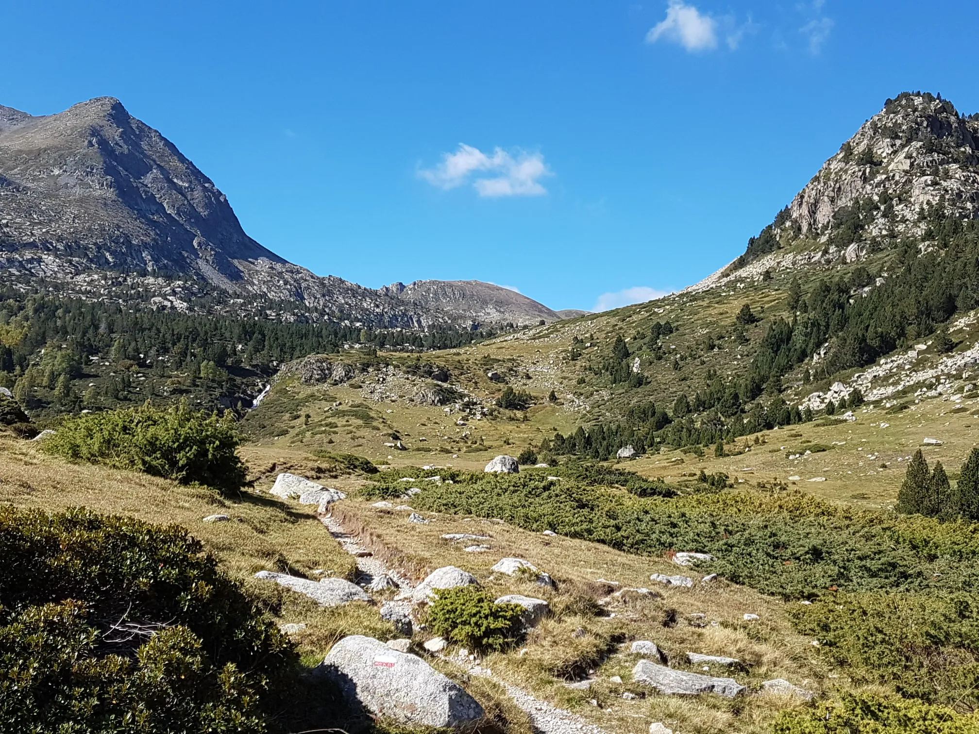
Mountaineering routes around Prades traverse a landscape characterized by high-altitude lakes, dense forests, and rugged mountain terrain. The region features significant elevation changes, with routes often leading through valleys and ascending to panoramic viewpoints. This area offers a mix of challenging ascents and scenic paths, providing diverse experiences for mountaineers.
Best mountaineering routes around Prades
- The most popular mountaineering route is Étang Bleu – Étang Noir loop from Port de Pailhères, a 7.2 miles (11.6 km) trail that takes…
Last updated: September 27, 2026
8
hikers
11.0km
05:32
900m
910m
Hard mountaineering route. Very good fitness required. Sure-footedness, sturdy shoes and alpine experience required.
5.0
(1)
4
hikers
12.5km
05:42
940m
940m
Hard mountaineering route. Very good fitness required. Sure-footedness, sturdy shoes and alpine experience required.

4.0
(1)
2
hikers
14.8km
04:48
620m
630m
Moderate mountaineering route. Good fitness required. Mostly accessible paths. Sure-footedness required.
2.5
(2)
4
hikers
16.3km
05:55
780m
780m
Hard mountaineering route. Very good fitness required. Sure-footedness, sturdy shoes and alpine experience required.
Our route recommendations are based on thousands of hikes, rides, and runs completed by other people on komoot.
Start today with a free account
Your next adventure awaits.
Popular around Prades
Climbs and greenways - The Great Ariège-Pyrénées Crossing by MTB
Plains, hills and mountains – GR 7 in the heart of France’s Occitania
Great MTB Crossing Ariège Pyrénées
Le chemin des Bonshommes — In the footsteps of the Cathars
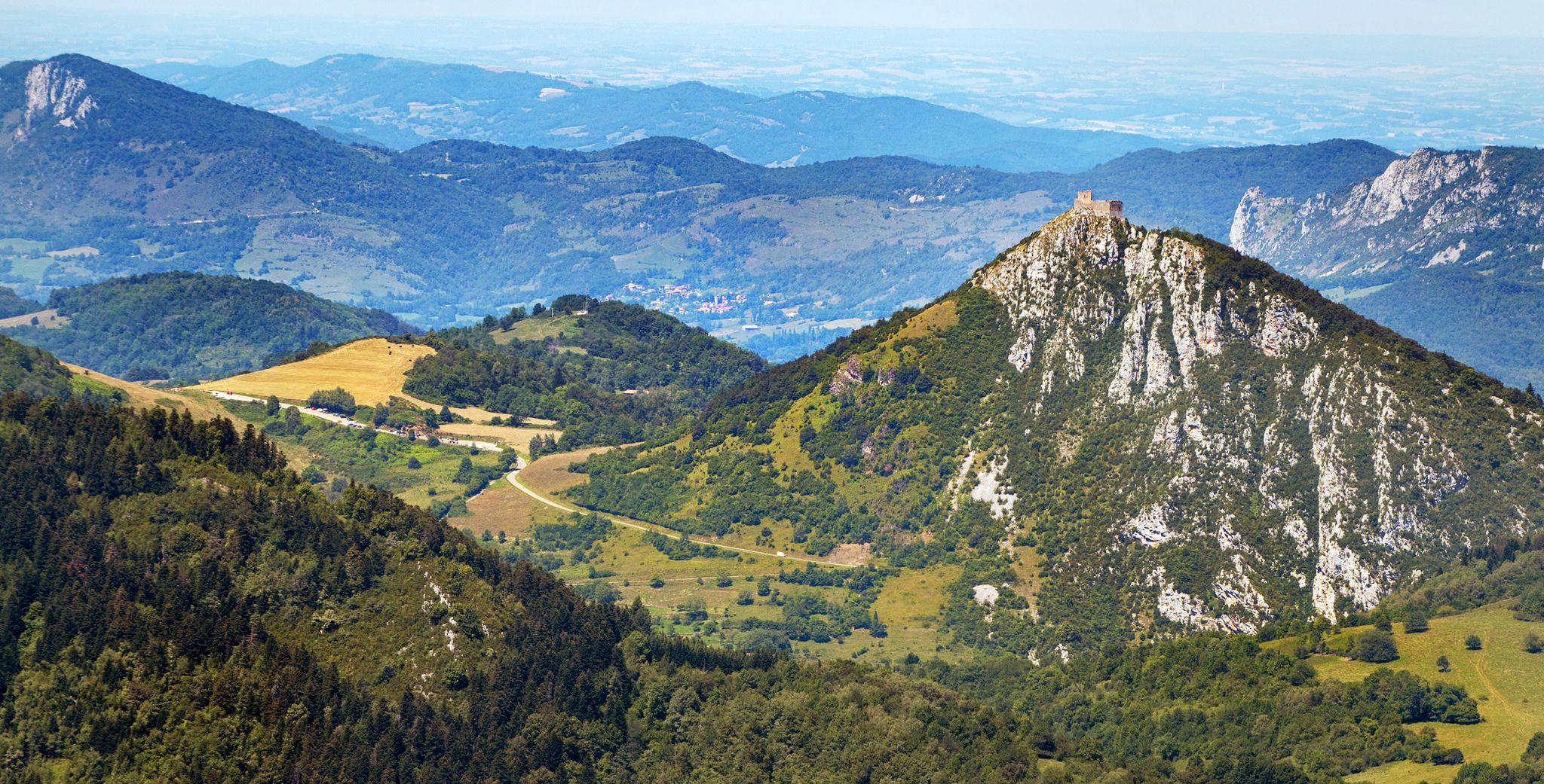
Cathar Route from Catalonia to France – Bons Homes Path (GR 107)
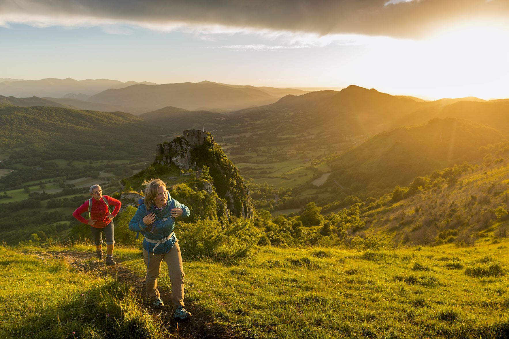
The chemin des Bonshommes — a journey between France and Spain
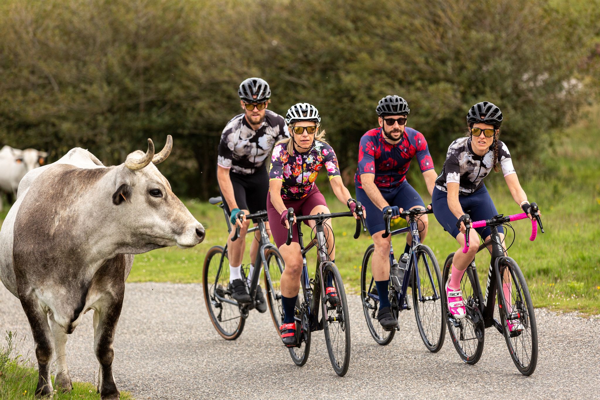
16 itinéraires cyclo incontournables Ariège Pyrénées
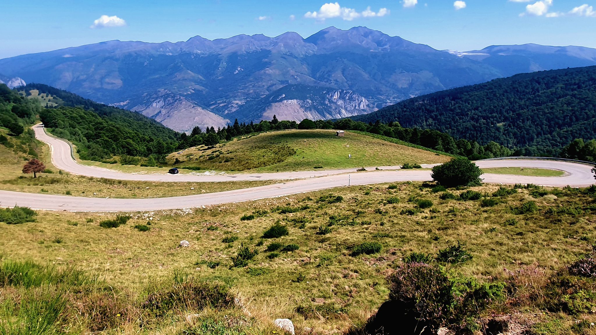
Le Cyclotour de l'Ariège
Road Cycling Routes around Prades
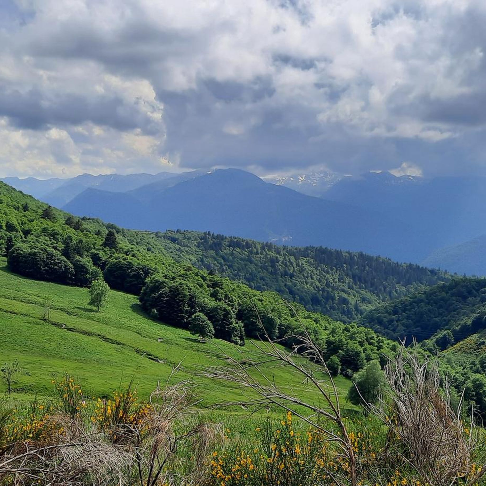
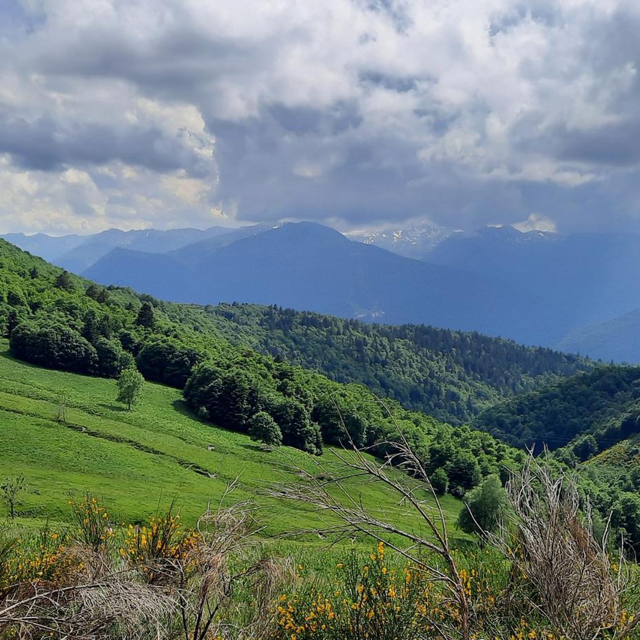
Hiking around Prades
Other adventures around Prades


Tips from the Community

A must-see in Ariège that you should do at least once in your life. The view of the various mountain ranges is splendid.
0
0

Be careful, expert route but what a view
0
0

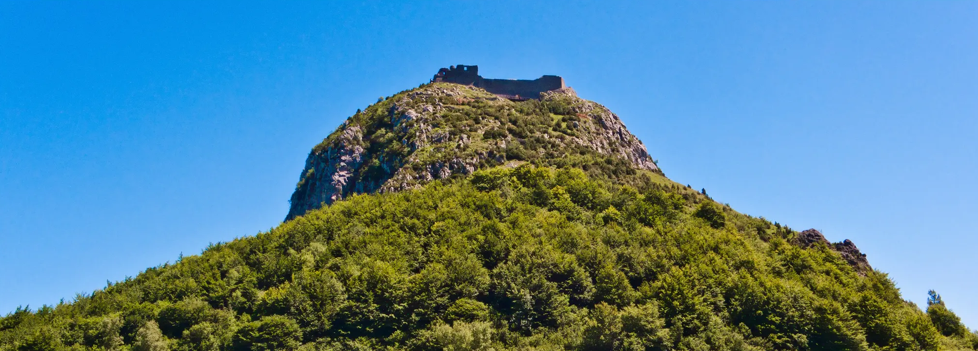
Château de Montaillou is a former fortified castle from the 13th century and overlooks the village and its surroundings
9
0
At approximately 1680 meters, it's the starting point for hikes, ski tours, and cycling. The highest point of this charming ski area is 1850 meters.
12
0
Château de Montaillou is a world-famous former fortified castle from the 13th century, the ruins of which were declared a monument by decree on December 21, 1984. The remains of the keep and the fortress are located on a hill overlooking
19
0


The Château de Montaillou is located in Ariège. It is a medieval fortress already documented in the 13th century which is today in a state of ruin. Located on a slope of Mount Allion, three walls and other vestiges of this construction are still preserved.
5
0
Montaillou Castle is located in the French department of Ariège. It is a medieval fortress already documented in the 13th century, today in a state of ruin. Located on a slope of Mount Allion, three walls and other vestiges of this construction are still preserved.
2
0
Frequently Asked Questions
What is the general difficulty level of mountaineering routes around Prades?
The mountaineering routes in the Prades region offer a range of challenges, primarily featuring moderate to difficult trails. You'll find 3 moderate routes and 4 difficult routes, characterized by significant elevation changes and rugged mountain terrain.
Are there any circular mountaineering routes in Prades?
Yes, many of the mountaineering routes around Prades are circular, allowing you to start and end at the same point. For example, you could explore the Étang Bleu – Étang Noir loop from Port de Pailhères, or the more challenging Étang de Moulzoune – Étang du Diable loop from SN 1678.
What kind of natural attractions can I expect to see along the mountaineering routes?
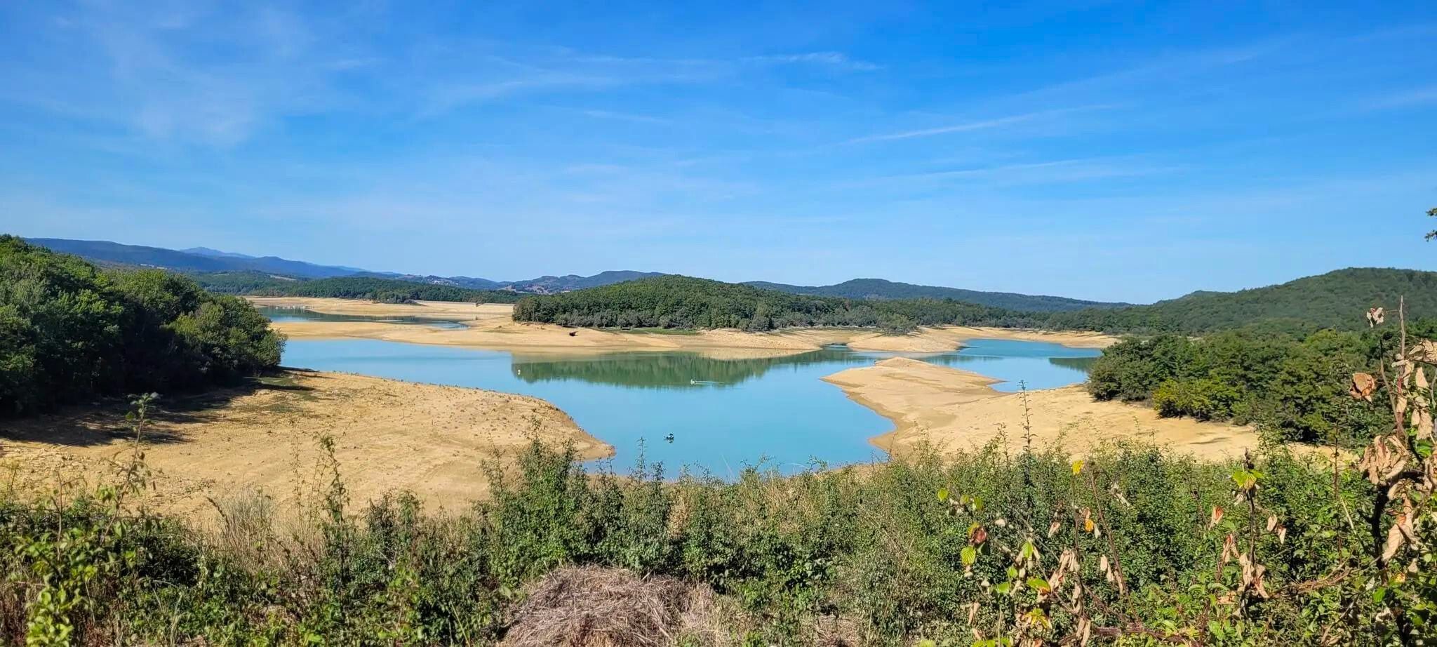
The routes often lead through landscapes rich with natural beauty. You'll encounter high-altitude lakes such as Lake Campauleil and the Devil's Pond, dense forests, and rugged mountain terrain offering panoramic viewpoints like the View of Étang Bleu.
What is the best season for mountaineering in the Prades area?
The best season for mountaineering in Prades is typically from late spring to early autumn (June to September) when the weather is most stable and trails are generally free of snow. However, the region's high-altitude nature means conditions can change rapidly, so always check the forecast.
Are there any specific permits required for mountaineering in Prades?
Generally, no specific permits are required for hiking or mountaineering on established trails in the Prades area. However, always respect local regulations, especially if you plan to enter any protected natural reserves or engage in technical climbing activities.
What should I wear for mountaineering in Prades during summer?
Even in summer, mountain weather can be unpredictable. It's advisable to wear layers, including moisture-wicking base layers, an insulating mid-layer, and a waterproof/windproof outer shell. Sturdy hiking boots, sun protection, and a hat are also essential.
Are there any family-friendly mountaineering options around Prades?
While many routes are moderate to difficult, some sections or shorter loops might be suitable for families with older children who are accustomed to hiking. For example, the Vallée d'Orgeix – Turbine centrale du Teich loop from Ax-les-Thermes is a moderate option that could be considered.
What do other mountaineers say about the routes in Prades?
The mountaineering routes in Prades are highly regarded by the komoot community, holding an average rating of 4.5 stars. Users often praise the stunning high mountain lakes, deep valleys, and the challenging yet rewarding ascents that define the region's terrain.
Are there any notable landmarks or towns near the mountaineering routes?
Yes, the region is dotted with interesting landmarks. You can find historical sites like Montségur Castle, or visit the thermal town of Ax-les-Thermes, which serves as a starting point for routes like the Ax-les-Thermes loop.
How long do the mountaineering routes typically take to complete?
The duration of routes varies significantly based on distance and difficulty. For instance, the moderate Étang Bleu – Étang Noir loop typically takes about 5 hours, while the difficult Mont d'Olmes loop can be completed in around 4 hours, despite its difficulty, due to its shorter distance.
What are the parking options for mountaineering trails in Prades?
Many trailheads, especially those for popular routes, offer designated parking areas. For example, routes like the Étang Bleu – Étang Noir loop start from locations such as Port de Pailhères, which typically have parking facilities. It's always recommended to check specific route details for parking information.
Most popular attractions around Prades

Get inspired with the komoot mobile app


Explore more
Browse the best Mountain Hikes & Routes in other regions.
