The best mountain hikes around Lavars
4.8
(7)
44
hikers
4
hikes
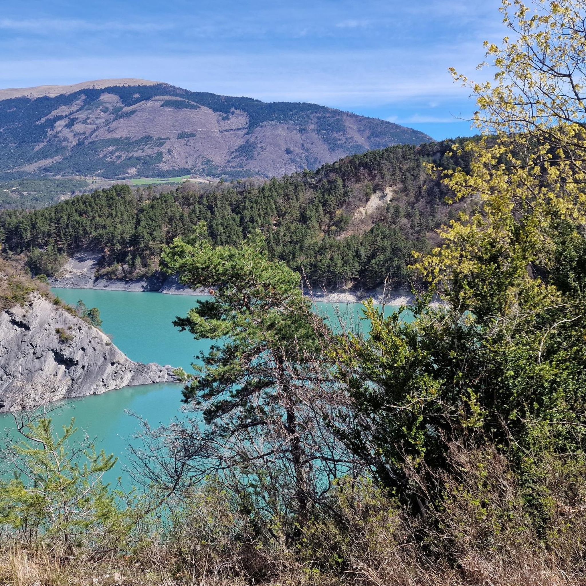
Mountaineering routes around Lavars are set within a landscape characterized by the dramatic limestone formations of the Vercors Massif, featuring deep valleys, forested slopes, and high plateaus. The region offers varied terrain, from challenging ascents to paths alongside rivers like the Drac and Ebron. These routes often provide expansive views of the surrounding mountains and natural features.
Best mountaineering routes around Lavars
- The most popular mountaineering route is Path with panoramic view – Grand Veymont loop from Gresse-en-Vercors, a…
Last updated: July 21, 2026
5.0
(1)
9
hikers
12.2km
06:40
1,080m
1,080m
Hard mountaineering route. Very good fitness required. Sure-footedness, sturdy shoes and alpine experience required.
5.0
(1)
7
hikers
16.9km
07:14
1,000m
1,000m
Hard mountaineering route. Very good fitness required. Sure-footedness, sturdy shoes and alpine experience required.

Sign up for free
5.0
(2)
7
hikers
15.4km
05:19
750m
750m
Hard mountaineering route. Very good fitness required. Mostly accessible paths. Sure-footedness required.
5.0
(1)
6
hikers
12.7km
04:05
470m
470m
Moderate mountaineering route. Good fitness required. Mostly accessible paths. Sure-footedness required.
4.0
(2)
4
hikers
Easy mountaineering route. Great for any fitness level. Easily-accessible paths. Suitable for all skill levels.
Our route recommendations are based on thousands of hikes, rides, and runs completed by other people on komoot.
Start today with a free account
Your next adventure awaits.
Login or Signup

Tips from the Community

fairly easy, very nice views, quiet roads.
0
0
As pretty at the top as at the bottom, lots of ways to get to the top, accessible for all levels (not technical but lots of elevation gain depending on your starting point) but it's worth it!
1
0
Great view! And those on all sides, some areas where it is easier to get your hands on (over 100 meters) but nothing insurmountable! No dangerous areas!
0
0


great hike to do in good weather. very shaded
0
0

Breathtaking view of the two very distinctive peaks.
1
0
Frequently Asked Questions
How many mountaineering routes are available around Lavars?
There are 4 mountaineering routes detailed in this guide for the Lavars area. These routes offer varied experiences within the dramatic limestone formations of the Vercors Massif.
What are the difficulty levels of mountaineering routes in Lavars?
The routes around Lavars cater to various skill levels. You'll find 1 easy route, 2 moderate routes, and 1 difficult route, ensuring options for different experiences within the Vercors Massif.
Are there any easy mountaineering routes suitable for beginners in Lavars?
Yes, there is one easy mountaineering route available. While specific details for an easy route aren't provided in the guide, the region does offer paths suitable for those new to mountaineering or looking for a less strenuous experience.
What are some challenging mountaineering routes for experienced hikers in Lavars?
For experienced mountaineers seeking a challenge, consider the Path with panoramic view – Grand Veymont loop from Gresse-en-Vercors, a difficult 7.6-mile trail with significant elevation gain. Another demanding option is the Selle Pass loop from Richardière, a difficult 9.8-mile path navigating varied mountain terrain.
Are there any circular mountaineering routes in Lavars?
Yes, many of the routes in Lavars are designed as loops. For example, the Path with panoramic view – Grand Veymont loop from Gresse-en-Vercors and the Drac Footbridge – Ebron Footbridge loop from Mayres-Savel are both circular routes, allowing you to start and end at the same point.
What natural features or viewpoints can I expect to see on these routes?
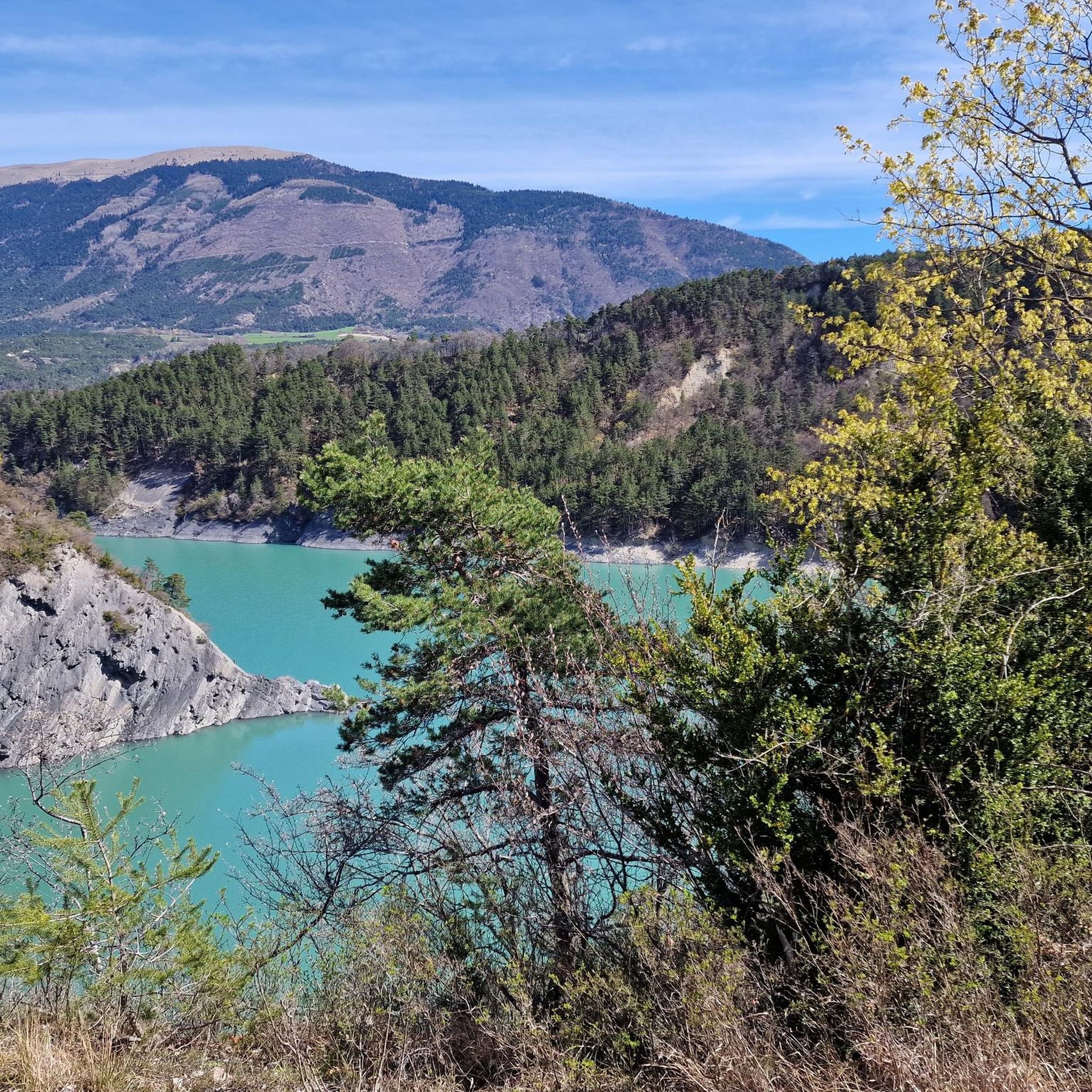
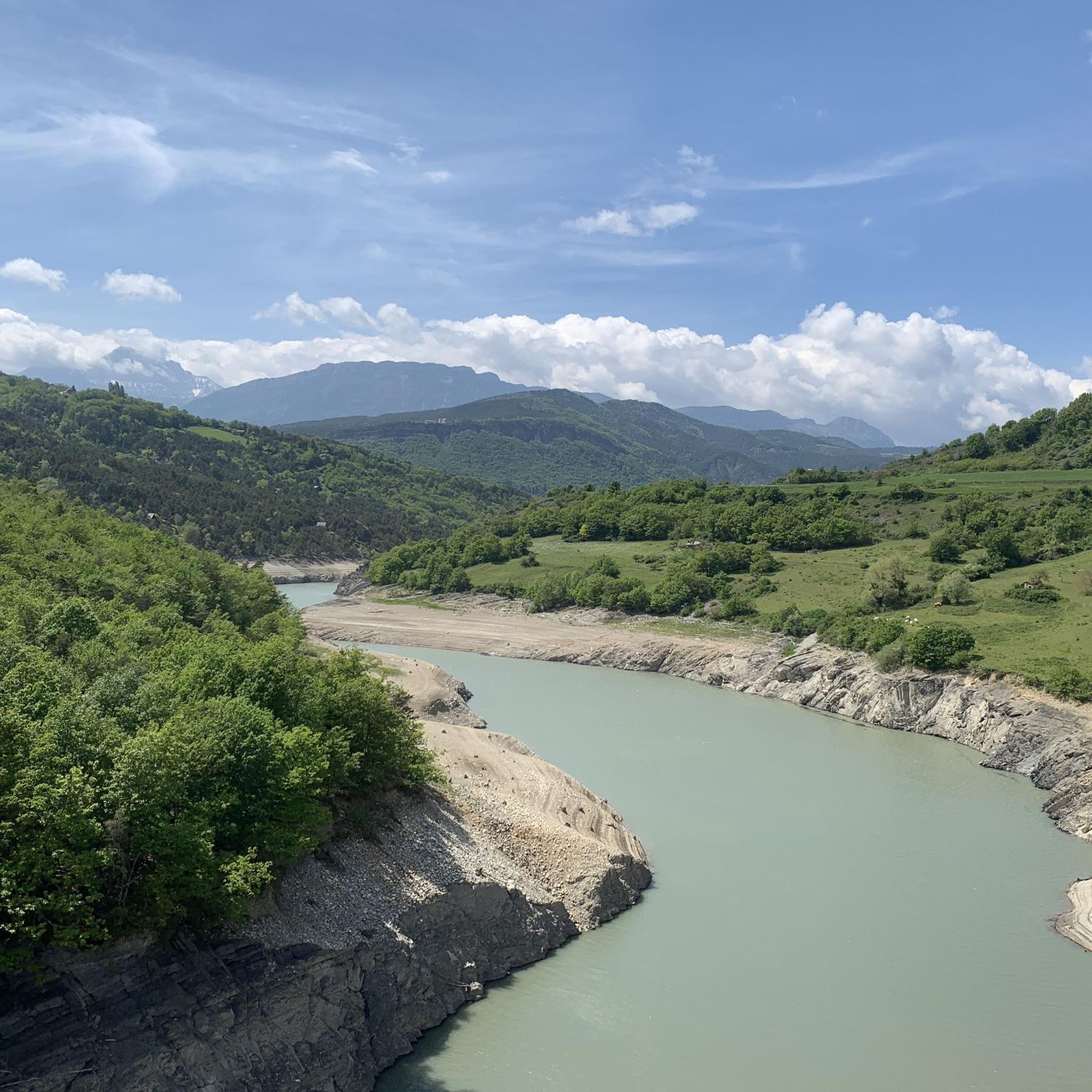
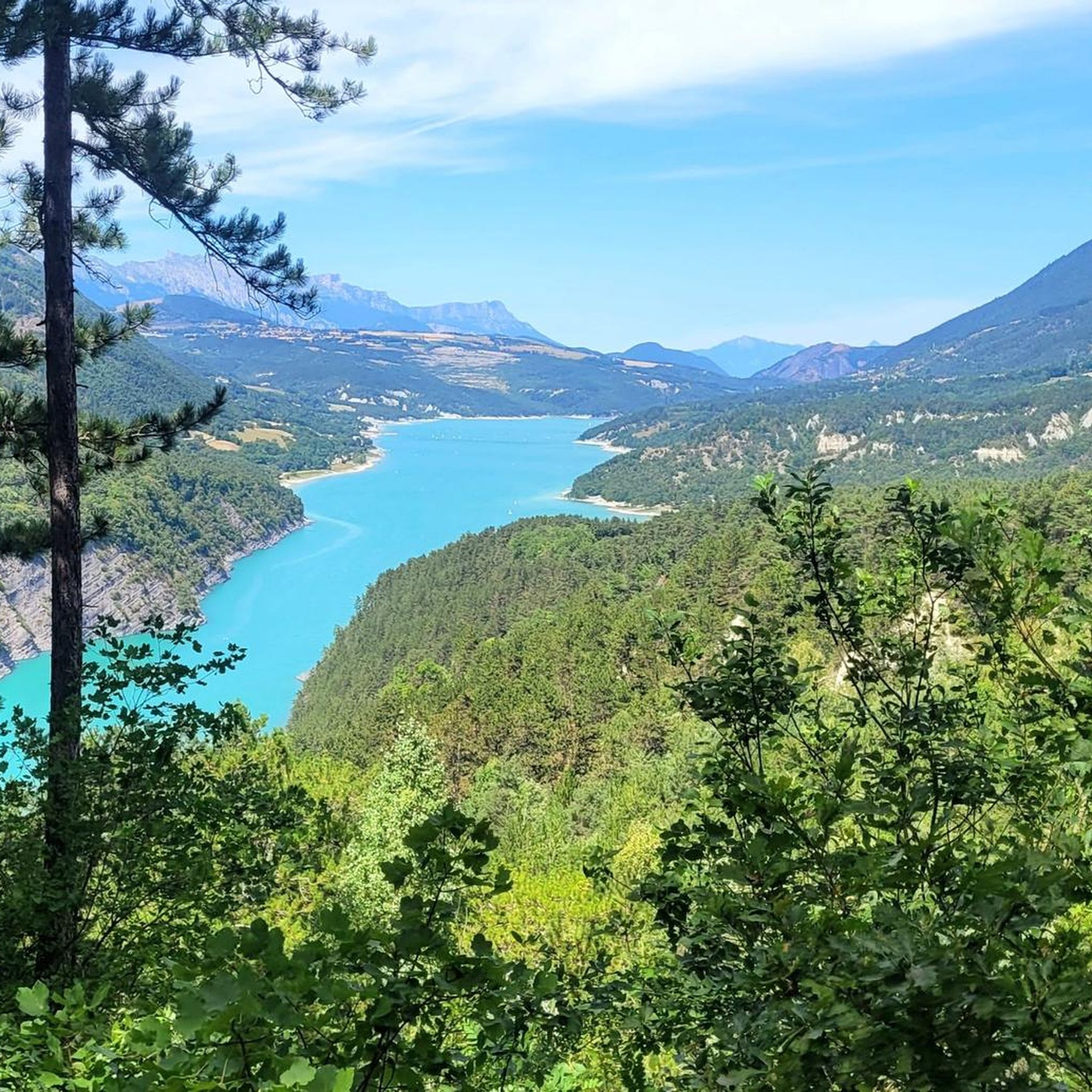
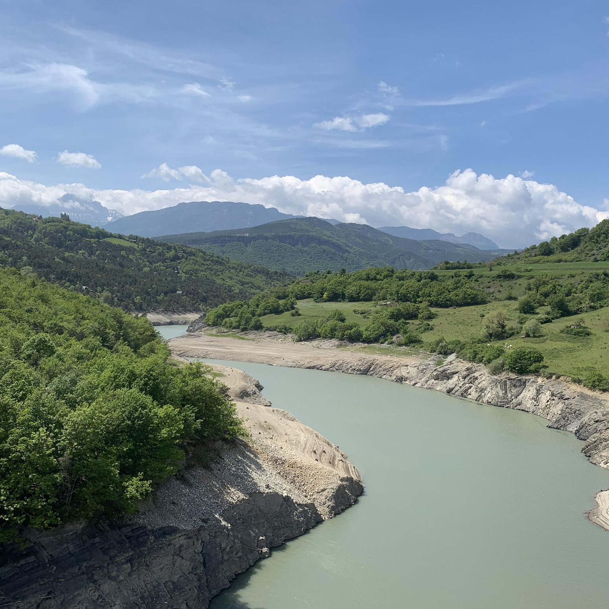
The mountaineering routes in Lavars offer expansive views of the surrounding mountains and natural features of the Vercors Massif. You can expect to see dramatic limestone formations, deep valleys, and forested slopes. Specific viewpoints include the View of Lake Monteynard from the Balcon du Drac and the View of the confluence of the Ébron and the Drac.
Are there any specific landmarks or points of interest near the mountaineering trails?
Yes, the area around Lavars is rich with landmarks. Along some routes, you might encounter the impressive Ebron Footbridge. For those interested in mountain passes, the Col de l'Allimas is a notable point. The region also features several prominent summits like Mont Barral and Le Sénépy.
What do other mountaineers say about the routes in Lavars?
The routes in Lavars are highly rated by the komoot community, with an average score of 4.75 stars from over 9 reviews. Mountaineers often praise the varied terrain, from challenging ascents to paths alongside rivers, and the expansive views of the surrounding mountains.
Can I bring my dog on the mountaineering trails in Lavars?
While the guide does not explicitly state which routes are dog-friendly, many trails in the Vercors Massif generally allow dogs, often on a leash. It's always best to check local regulations or specific route descriptions for any restrictions before heading out with your canine companion.
Are there family-friendly mountaineering options in Lavars?
The guide mentions options for different ability levels, including moderate paths. While specific 'family-friendly' routes aren't detailed, the easier and moderate trails, especially those with less elevation gain, could be suitable for families with older children or those accustomed to hiking. Always check the route's difficulty and length before planning a family outing.
What is the best time of year for mountaineering in Lavars?
The Vercors Massif, with its limestone formations and forested slopes, is generally best explored during the warmer months, from late spring to early autumn (May to October). During this period, trails are typically clear of snow, and weather conditions are more stable, offering optimal visibility and safer passage.
Is parking available near the mountaineering routes in Lavars?
While specific parking locations are not detailed in the guide, routes often start from villages like Gresse-en-Vercors or Mayres-Savel. These starting points typically offer designated parking areas for hikers. It's advisable to check local signage upon arrival or consult detailed maps for parking information.
Are there any permits required for mountaineering in Lavars?
The guide does not mention any specific permits required for general mountaineering on the routes around Lavars. However, it's always good practice to be aware of any local regulations, especially if you plan to venture into protected areas or nature reserves within the Vercors Massif.
Most popular attractions around Lavars

Get inspired with the komoot mobile app


Explore more
Browse the best Mountain Hikes & Routes in other regions.
