The best running trails around Saint-Firmin
4.8
(8)
365
runners
47
runs
Jogging routes Saint-Firmin traverse a varied landscape within the Hautes-Alpes department of southeastern France, situated at the entrance to the Valgaudemar valley. The region features a significant altitudinal range, from 767 meters along the Séveraisse river to 2,776 meters at Le Grun, offering diverse terrain for running. Runners can explore hedged farmlands, coniferous forests, and high pastures, all integrated into the Écrins National Park. The Séveraisse river provides scenic paths, while the broader Valgaudemar valley offers an extensive network of…
Last updated: October 11, 2026
4.0
(1)
9
runners
7.83km
00:53
160m
160m
Moderate run. Good fitness required. Mostly accessible paths. Some sure footedness required.
5.0
(1)
8
runners
9.96km
01:12
270m
270m
Moderate run. Good fitness required. Mostly accessible paths. Some sure footedness required.

9
runners
Hard run. Very good fitness required. Mostly paved surfaces. Suitable for all skill levels.
6
runners
14.4km
01:44
300m
300m
Moderate run. Good fitness required. Mostly accessible paths. Some sure footedness required.
5
runners
8.57km
01:30
640m
630m
Hard run. Very good fitness required. Mostly paved surfaces. Suitable for all skill levels.
Get access to more routes and recommendations from other explorers.
Already have an account?
Our route recommendations are based on thousands of hikes, rides, and runs completed by other people on komoot.
Start today with a free account
Your next adventure awaits.
Tips from the Community


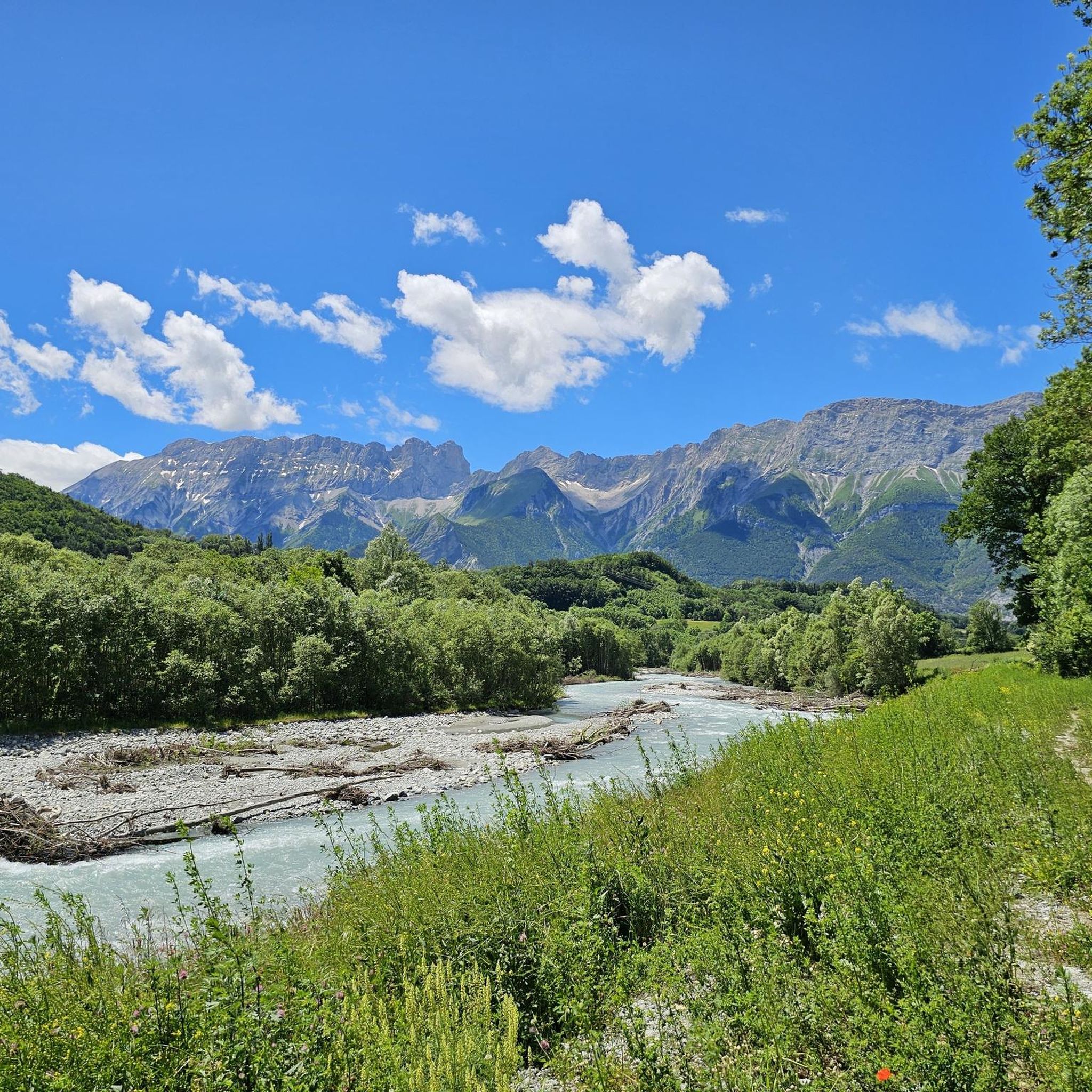
Built in 1811, the Herbeys canal allows the cultivation of the Aubessagne plateau, which was formerly arid and not very fertile. The canal is 28 kilometers long and uses water from the Séveraisse. The setting is bucolic.
0
0


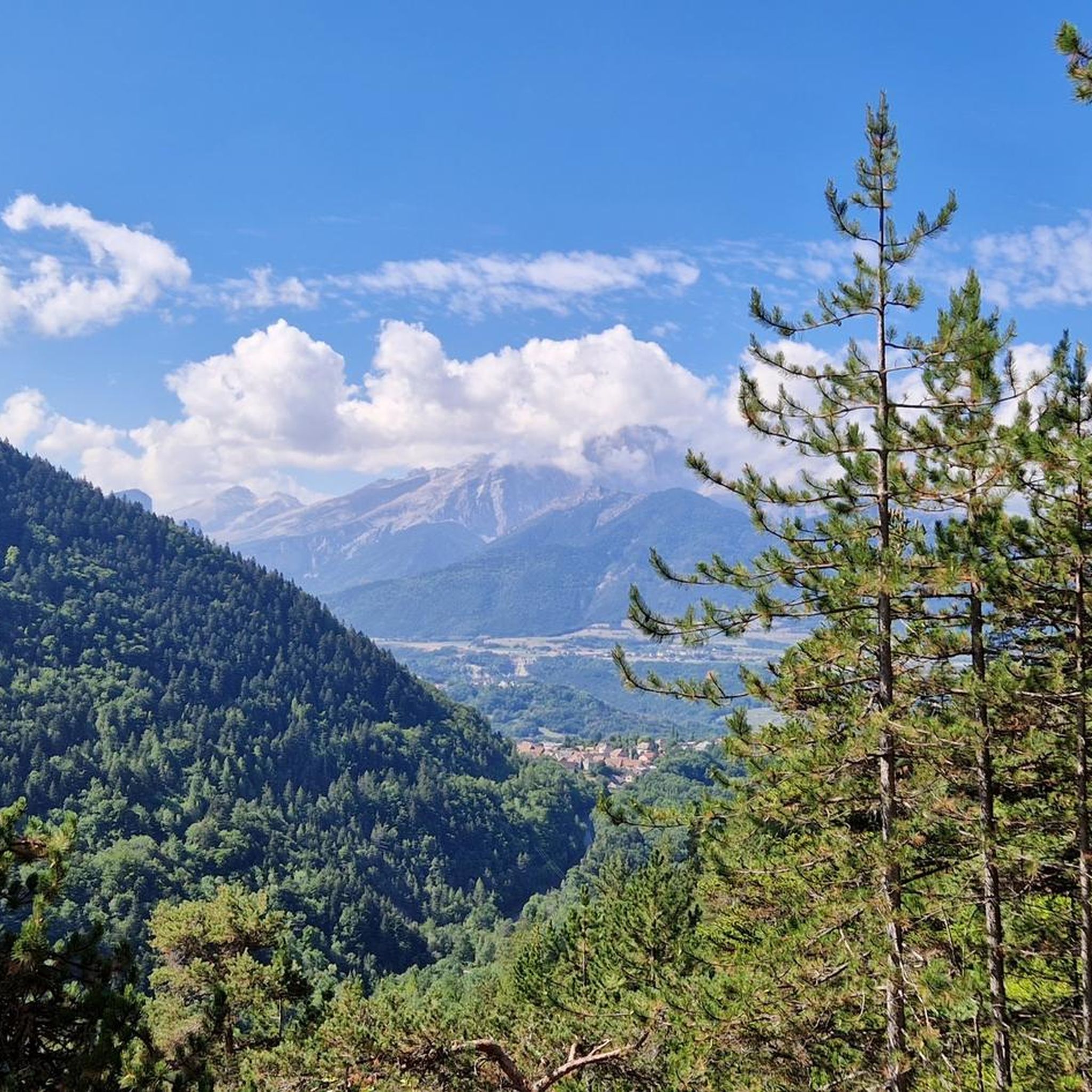
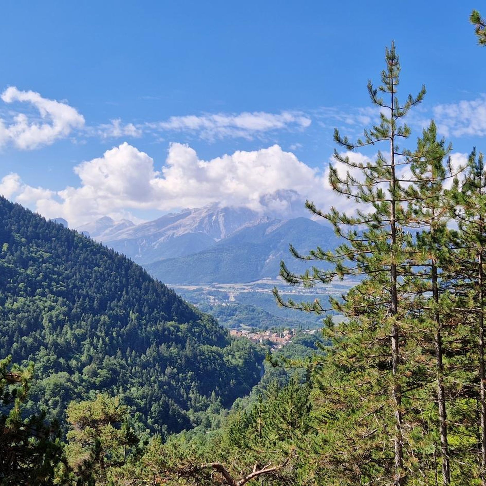
I recommend a stopover in this small village (the Hôtel du Mont-Olan is pleasant and the food is excellent) - many hikes can be done from this village or its surroundings to explore the Valgaudemar, a magnificent region
0
0

A pretty forest borders the Séveraisse along the GR 54. It is a wonderful passage during this hike. It is possible to leave the GR to take the forest path on the opposite bank then to retrieve the GR a few hundred meters further.
0
0
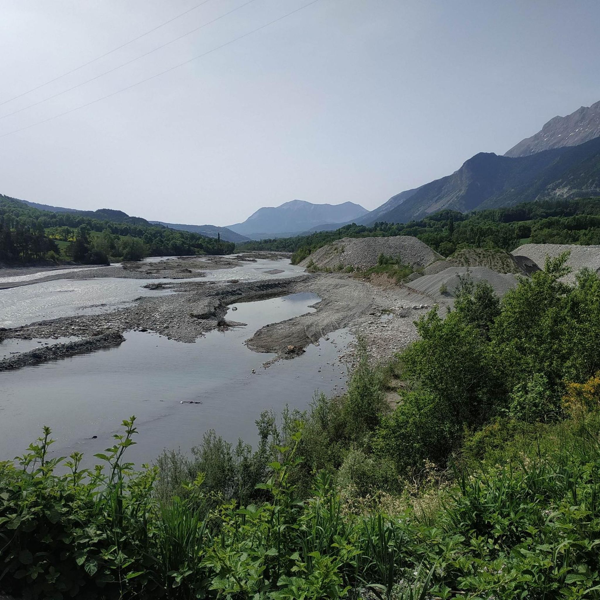
Magnificent spectacle offered by this torrent which joins further down the Rhône via the Drac and the Isère.
0
0

The route can be extended by short distances at several points, see map.
0
0

Beautiful chapel in a small village beautifully situated between the mountains.
2
0
Frequently Asked Questions
How many running routes are available around Saint-Firmin?
There are over 40 diverse running routes around Saint-Firmin, catering to various fitness levels. These include 1 easy route, 12 moderate routes, and 27 more challenging trails, all set within the stunning landscapes of the Hautes-Alpes department and the Écrins National Park.
Are there easy jogging routes suitable for beginners in Saint-Firmin?
Yes, Saint-Firmin offers at least one easy jogging route, and several moderate trails that can be suitable for beginners looking for a gentle introduction to the area's natural beauty. These routes often follow the scenic Séveraisse river or traverse hedged farmlands, providing a pleasant experience without significant elevation changes.
What kind of challenging running trails are available for experienced runners?
For experienced runners, Saint-Firmin boasts 27 difficult trails that take advantage of the region's significant altitudinal range, from 767 meters along the Séveraisse river to 2,776 meters at Le Grun. These routes often venture into high pastures and mountainous terrain within the Écrins National Park, offering demanding climbs and breathtaking views. An example is the Sautet Dam – Pont du Loup over the Drac loop from Corps, a challenging 26.6 km trail.
Are there circular jogging routes in Saint-Firmin?
Yes, many of the running routes around Saint-Firmin are circular, allowing you to start and finish at the same point. Popular options include the Saint-Firmin canal bridge loop from Saint-Firmin, a moderate 7.8 km trail, and the Sentier des Herbeys loop from Saint-Firmin, which covers 10.0 km through varied countryside.
What scenic views and natural landmarks can I expect on the running trails?
Jogging routes in Saint-Firmin offer spectacular scenery, from the tranquil Séveraisse river paths to panoramic mountain vistas. You'll encounter diverse landscapes including hedged farmlands, coniferous forests, and high pastures. Highlights like the Lacs de Pétarel and the dramatic Gorges de l'Infernet provide stunning backdrops. The region is part of the Écrins National Park, ensuring rich biodiversity and impressive Alpine views.
Are there any specific viewpoints or mountain passes accessible via running routes?
Absolutely. Many routes offer access to incredible viewpoints and mountain passes. For instance, the Col du Noyer (1664 m), though a challenging climb, rewards runners with an indescribably beautiful panorama. Other notable passes include Vaurze Pass and Pétarel Pass, offering diverse perspectives of the Écrins Massif.
What do other runners say about the trails in Saint-Firmin?
The running routes in Saint-Firmin are highly rated by the komoot community, with an average score of 4.5 stars from 4 reviews. Over 250 runners have explored the varied terrain, often praising the stunning natural beauty, the diversity of landscapes from river paths to mountain trails, and the well-maintained network of paths within the Écrins National Park.
Are the jogging routes in Saint-Firmin suitable for families?
While specific 'family-friendly' routes are not explicitly detailed, the presence of easy and moderate trails along the Séveraisse river and through hedged farmlands suggests options for families. These flatter, less strenuous paths provide a pleasant environment for a family jog or walk, allowing everyone to enjoy the natural surroundings.
Can I bring my dog on the running trails around Saint-Firmin?
The Écrins National Park, which encompasses Saint-Firmin, has specific regulations regarding dogs to protect its rich biodiversity. While dogs are generally allowed on a leash in the peripheral zone, they are often restricted or must be kept on a very short leash in the core zone. It's advisable to check specific trail regulations or local signage before heading out with your dog.
Is there public transport access to the starting points of jogging routes in Saint-Firmin?
Saint-Firmin is a village in the Hautes-Alpes, and while local bus services might connect it to larger towns, direct public transport to specific trailheads can be limited. Many routes are accessible from the village center, but for more remote starting points, personal transport or carpooling is often the most convenient option.
Are there any routes that pass by water features like rivers or lakes?
Yes, the region is rich in water features. Many jogging routes follow the scenic Séveraisse river, offering refreshing paths. You can also find trails that lead to beautiful lakes, such as the Lacs de Pétarel, or pass by significant rivers like Le Drac, providing picturesque settings for your run.
What is the best time of year for running in Saint-Firmin?
The varied terrain of Saint-Firmin, with its sunny south-facing hillsides, makes it enjoyable for running across multiple seasons. Spring and autumn offer pleasant temperatures and vibrant landscapes. Summer is ideal for higher altitude trails, while winter can provide unique opportunities for snowshoe running on certain paths, though some higher routes may be inaccessible due to snow.
Are there any long-distance running options or trails that connect to larger networks?
Yes, Saint-Firmin is integrated into the Écrins National Park, which features an extensive network of paths, including sections of the GR 54, a renowned long-distance trail. This provides ambitious trail runners with opportunities for extended runs and multi-day adventures, such as traversing towards the Refuge des Souffles in the Lautier forest.
Most popular attractions around Saint-Firmin

Get inspired with the komoot mobile app


Explore more
Browse the best Running Trails & Routes in other regions.
