The best mountain hikes around Miribel-Lanchâtre
5.0
(7)
48
hikers
7
hikes
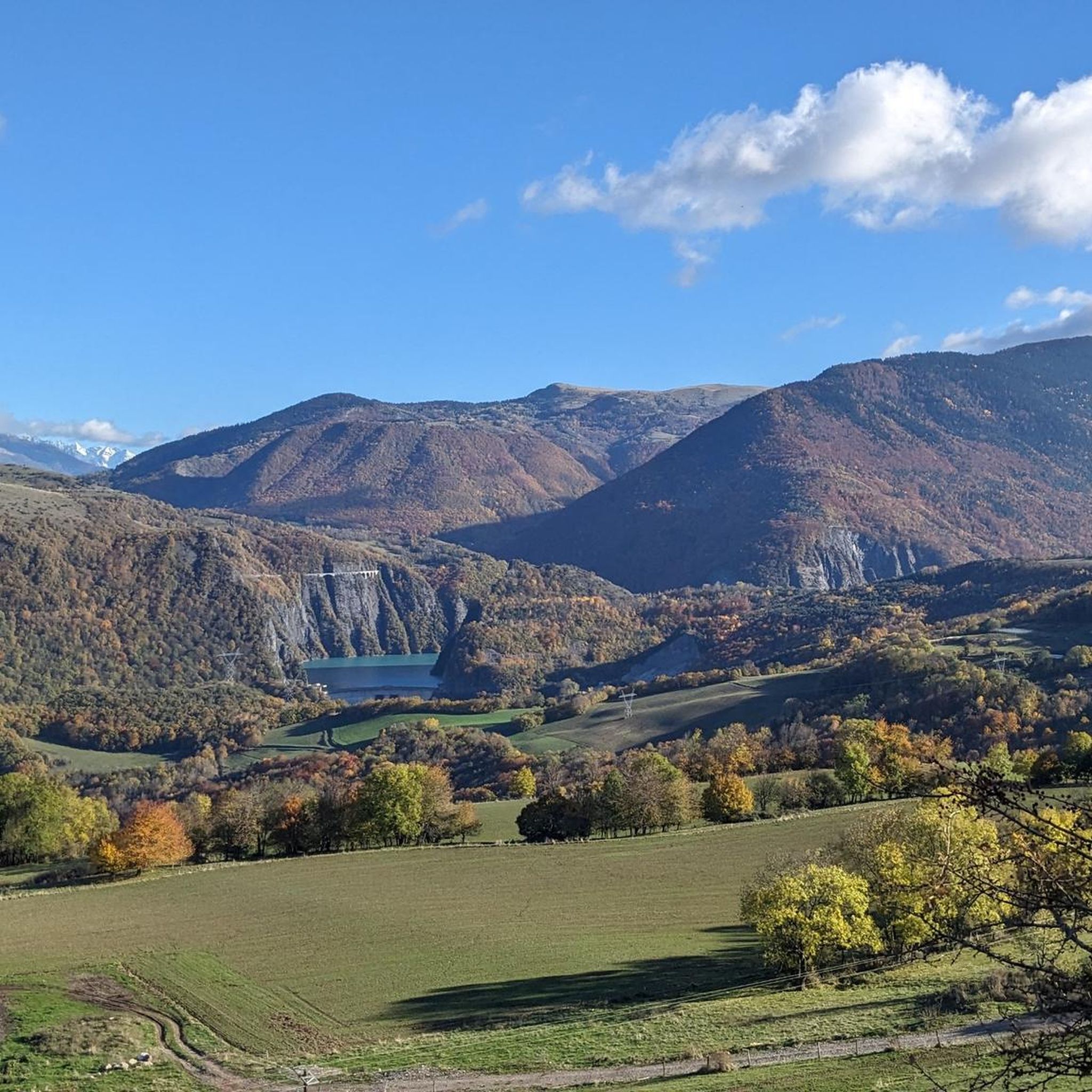
Mountaineering routes around Miribel-Lanchâtre are situated within the Vercors Regional Natural Park, characterized by its dramatic limestone cliffs, forested mountains, and high plateaus. The commune is nestled between the Trièves and the Vercors Massif, offering diverse terrain for outdoor activities. Notable features include the Gresse River valley and peaks such as Le Playnet, which reaches 1,568 meters. This region provides a varied landscape for mountaineers, from challenging ascents to routes through dense woodlands.
Best mountaineering routes around Miribel-Lanchâtre
- The most…
Last updated: October 10, 2026
5.0
(1)
12
hikers
12.2km
06:41
1,080m
1,080m
Hard mountaineering route. Very good fitness required. Sure-footedness, sturdy shoes and alpine experience required.
5.0
(3)
13
hikers
Hard mountaineering route. Very good fitness required. Mostly accessible paths. Sure-footedness required.

11
hikers
10.3km
04:18
830m
830m
Moderate mountaineering route. Good fitness required. Mostly accessible paths. Sure-footedness required.
5.0
(2)
5
hikers
15.9km
08:03
1,270m
1,270m
Hard mountaineering route. Very good fitness required. Sure-footedness, sturdy shoes and alpine experience required.
5.0
(1)
7
hikers
Hard mountaineering route. Very good fitness required. Mostly accessible paths. Sure-footedness required.
Get access to more routes and recommendations from other explorers.
Already have an account?
Our route recommendations are based on thousands of hikes, rides, and runs completed by other people on komoot.
Start today with a free account
Your next adventure awaits.

Tips from the Community

Attention closed on weekdays in September
0
0

Stunning view and perfectly marked trail. Remember to bring water, there are no springs on the plateau.
0
0

Technical passage, stay focused and careful on the supports. Magnificent!
0
0
As pretty at the top as at the bottom, lots of ways to get to the top, accessible for all levels (not technical but lots of elevation gain depending on your starting point) but it's worth it!
1
0
Great view! And those on all sides, some areas where it is easier to get your hands on (over 100 meters) but nothing insurmountable! No dangerous areas!
0
0


From the top of the Col Vert you can enjoy an exceptional view of the Vercors massif and Grenoble.
0
0

here you can take a breather before climbing
0
0
Frequently Asked Questions
How many mountaineering routes are available around Miribel-Lanchâtre?
There are over 10 mountaineering routes around Miribel-Lanchâtre, offering a variety of experiences within the Vercors Regional Natural Park. These routes are highly rated by the komoot community, with an average score of 4.9 stars.
What are the difficulty levels of mountaineering routes in Miribel-Lanchâtre?
The mountaineering routes around Miribel-Lanchâtre cater to various skill levels. You'll find 4 moderate routes and 7 difficult routes, ensuring options for both experienced mountaineers and those looking for a significant challenge. There are no easy routes listed in this guide.
Are there any circular mountaineering routes in the Miribel-Lanchâtre area?
Yes, many of the mountaineering routes in the region are circular. For example, the challenging Path with panoramic view – Grand Veymont loop from Gresse-en-Vercors offers stunning vistas, while the moderate Scialet des Pullis loop from Corrençon-en-Vercors takes you through forested mountains and limestone plateaus.
What kind of terrain can I expect on mountaineering routes in Miribel-Lanchâtre?
The terrain around Miribel-Lanchâtre is incredibly varied, characteristic of the Vercors Massif. You can expect dramatic limestone cliffs, dense forested mountains, and high plateaus. Routes often feature significant elevation changes, offering both challenging ascents and rewarding panoramic views.
What are some notable natural features or landmarks to see along the mountaineering routes?
The Vercors region is rich in natural beauty. Along your routes, you might encounter impressive limestone formations and enjoy panoramic views from peaks like Le Grand Veymont. You can also explore nearby highlights such as La Pierre Percée, a unique natural monument, or the scenic Col de l'Allimas mountain pass.
What do other mountaineers enjoy most about the routes in Miribel-Lanchâtre?
The komoot community highly rates the mountaineering routes in Miribel-Lanchâtre, with an average score of 4.9 stars. Reviewers often praise the spectacular panoramic views, the challenging yet rewarding ascents, and the diverse natural landscapes, from dense forests to dramatic cliffs.
Are there any particularly challenging mountaineering routes for experienced climbers?
Yes, the area offers several challenging routes. The Bachassons Pass loop from Gresse-en-Vercors is a demanding 22.2 km trail with over 1700 meters of elevation gain. Another option is the Highly technical passage loop from Château-Bernard, which covers 15.8 km with significant elevation.
What is the best time of year for mountaineering in Miribel-Lanchâtre?
The Vercors region is generally best for mountaineering from late spring to early autumn (May to October) when the weather is more stable and trails are clear of snow. However, the Vercors also offers winter sports like snowshoeing and skiing, so winter mountaineering is possible for those with appropriate experience and gear.
Are there any routes suitable for families or beginners in mountaineering?
While this guide focuses on mountaineering, which generally implies more challenging terrain, the Vercors Regional Natural Park offers a wide range of hiking trails. For beginners or families, it's advisable to look for easier hiking routes within the park, as the mountaineering routes listed here are primarily moderate to difficult.
Is it possible to find parking near the trailheads for mountaineering routes?
Many trailheads in the Vercors Regional Natural Park, especially those starting from villages like Gresse-en-Vercors or Corrençon-en-Vercors, typically have designated parking areas. It's always recommended to check specific route details or local signage for the most accurate parking information before your trip.
Can I bring my dog on the mountaineering routes in Miribel-Lanchâtre?
The Vercors Regional Natural Park generally allows dogs on trails, but they must be kept on a leash to protect wildlife and ensure the safety of other hikers. Always check specific regulations for the particular route or protected areas within the park, as some sensitive zones might have restrictions.
Are there any viewpoints offering expansive views of the surrounding massifs?
Absolutely. The Vercors Massif is known for its incredible vistas. From higher points like Le Grand Veymont, you can enjoy panoramic views over the Gresse Valley and the Vercors plateau. A table d'orientation at Col du Vernay, near Miribel-Lanchâtre, also provides views of massifs such as Chartreuse, Dévoluy, and Oisans.
Most popular routes around Miribel-Lanchâtre
Most popular attractions around Miribel-Lanchâtre

Get inspired with the komoot mobile app


Explore more
Browse the best Mountain Hikes & Routes in other regions.
