The best mountain hikes around Divonne-Les-Bains
5.0
(1)
54
hikers
11
hikes
Mountaineering routes around Divonne-les-Bains are situated at the foot of the Jura mountains, offering diverse terrain for outdoor exploration. The region is characterized by significant peaks like La Dôle and Grand Montrond, providing panoramic views of Lake Geneva and the Mont Blanc massif. Numerous natural springs and extensive woodlands contribute to the area's varied landscape, with mountain passes such as Col de la Faucille adding to the challenging routes available.
Best mountaineering routes around Divonne-les-Bains
- The most popular mountaineering route…
Last updated: May 9, 2026
10
hikers
15.4km
05:07
670m
670m
Hard mountaineering route. Very good fitness required. Mostly accessible paths. Sure-footedness required.
5.0
(1)
10
hikers
9.69km
03:15
450m
450m
Moderate mountaineering route. Good fitness required. Mostly accessible paths. Sure-footedness required.

Sign up for free
10
hikers
13.8km
04:48
660m
660m
Moderate mountaineering route. Good fitness required. Mostly accessible paths. Sure-footedness required.
8
hikers
5.97km
02:20
430m
430m
Moderate mountaineering route. Good fitness required. Easily-accessible paths. Suitable for all skill levels.
3
hikers
6.46km
02:22
350m
350m
Moderate mountaineering route. Good fitness required. Mostly accessible paths. Sure-footedness required.
Get access to more routes and recommendations from other explorers.
Sign up for free
Already have an account?
Our route recommendations are based on thousands of hikes, rides, and runs completed by other people on komoot.
Start today with a free account
Your next adventure awaits.
Login or Signup
Popular around Divonne-Les-Bains
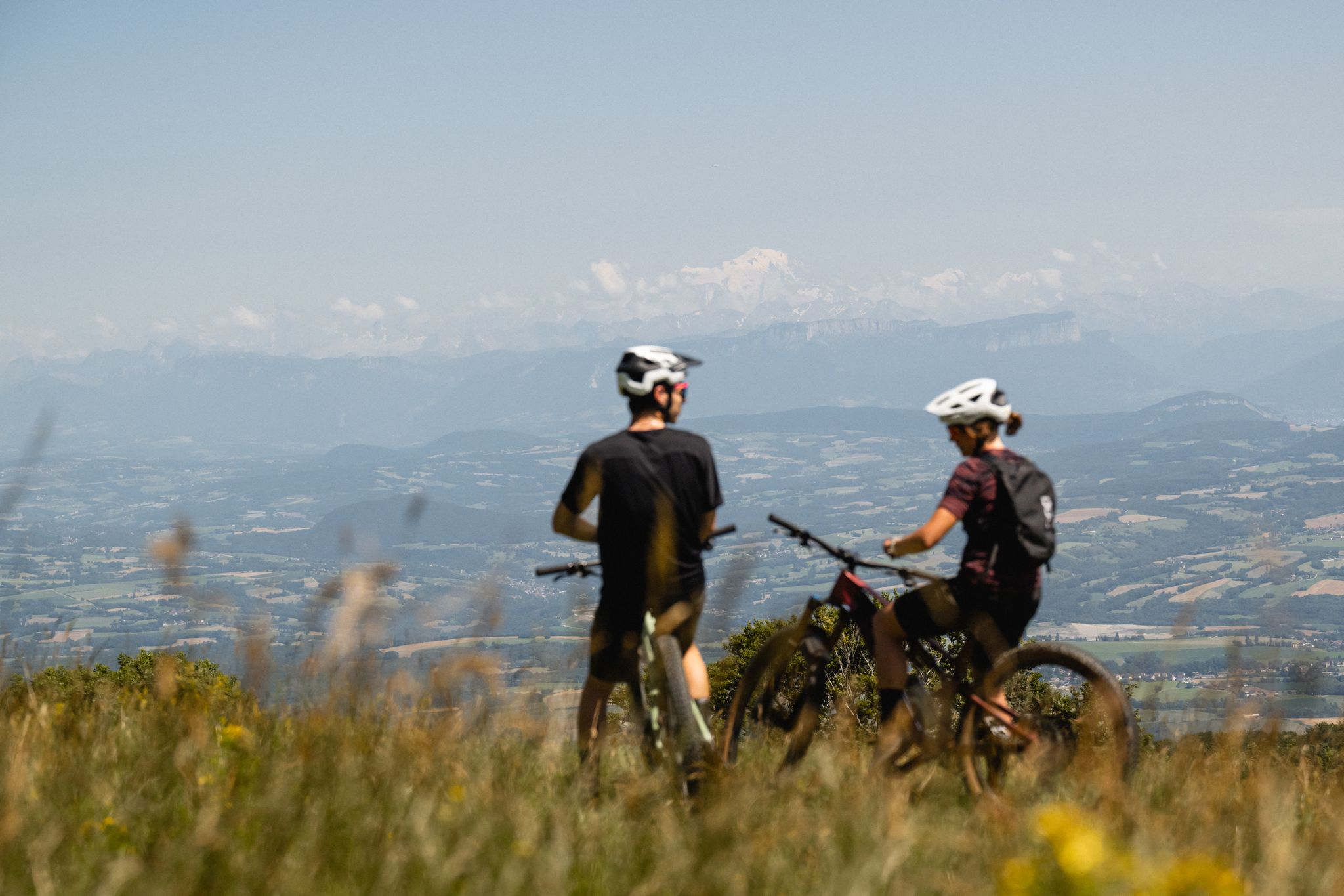
Gems of the Ain — MTB routes amidst natural beauty

‘La Joyeuse Vadrouille’ – two months cycling with the family

Roulez vers l'aventure : Explorez les sentiers en VTT sur le Mont Mourex !
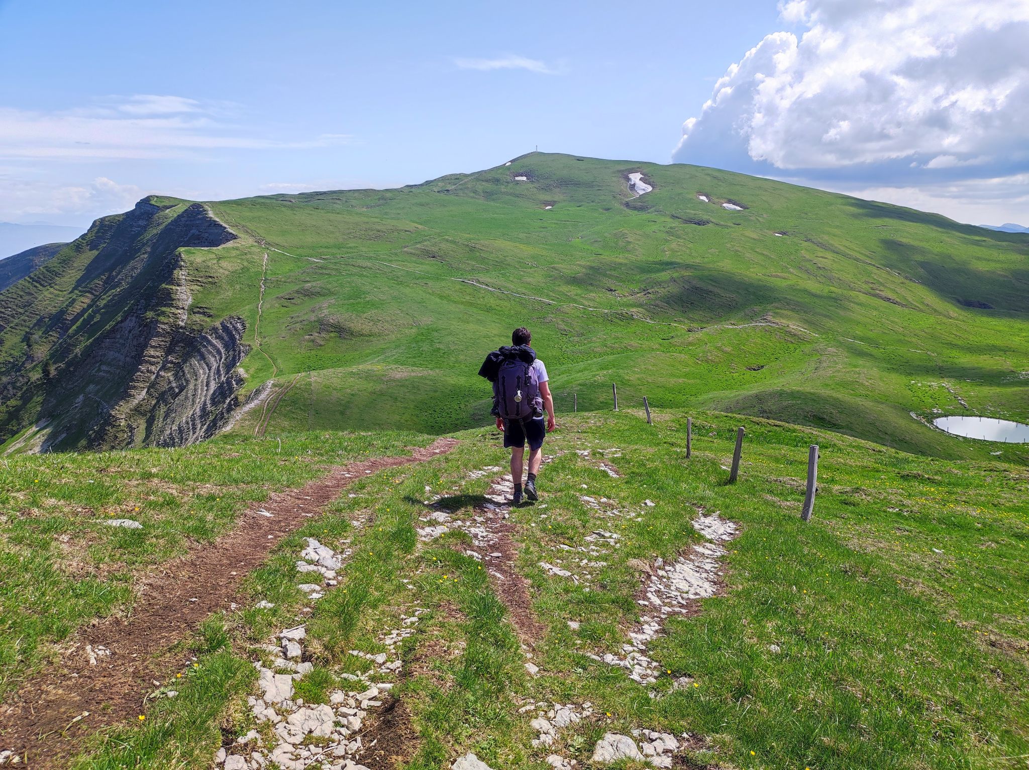
Pays de Gex - Monts Jura : Les randonnées officielles
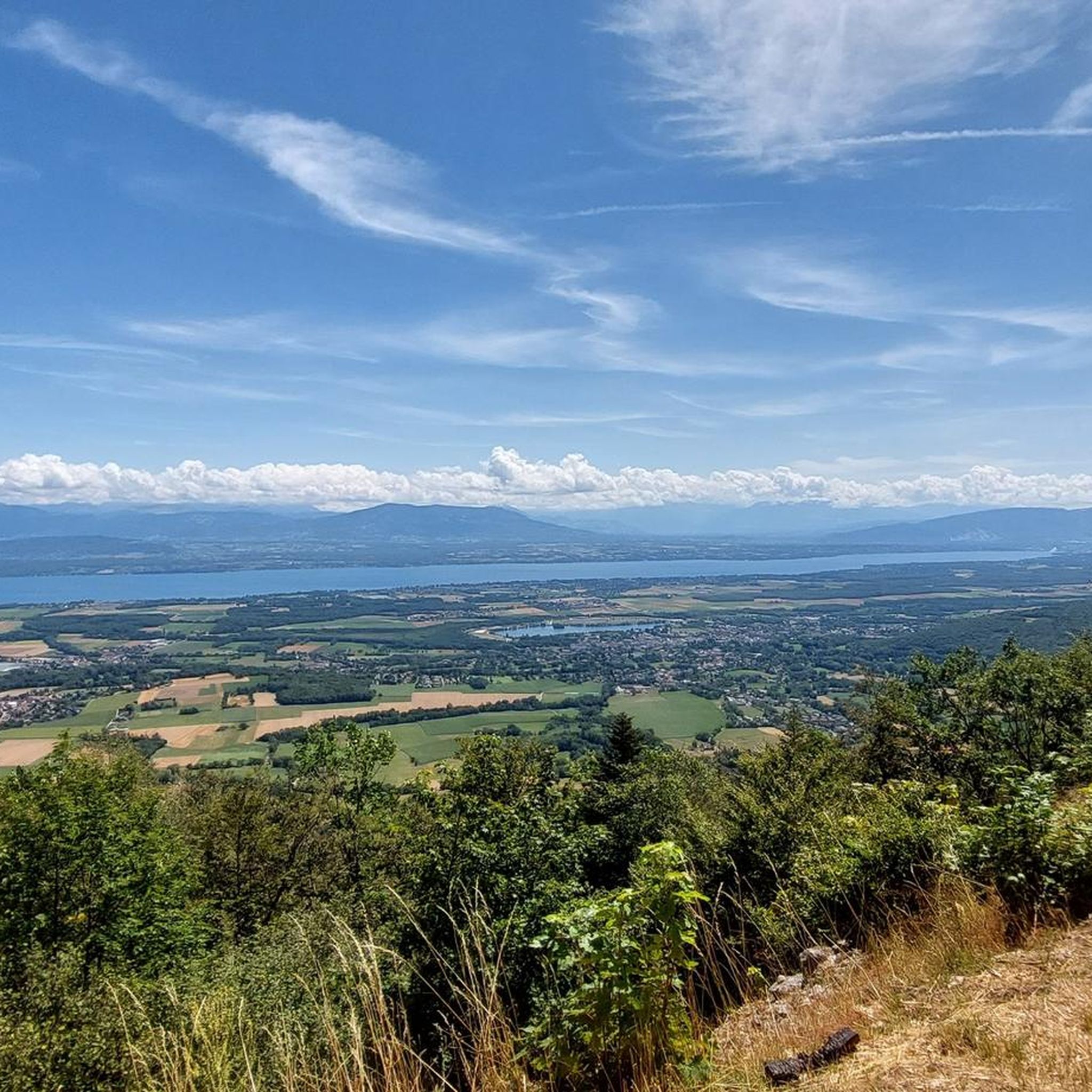
Hiking around Divonne-Les-Bains
Running Trails around Divonne-Les-Bains
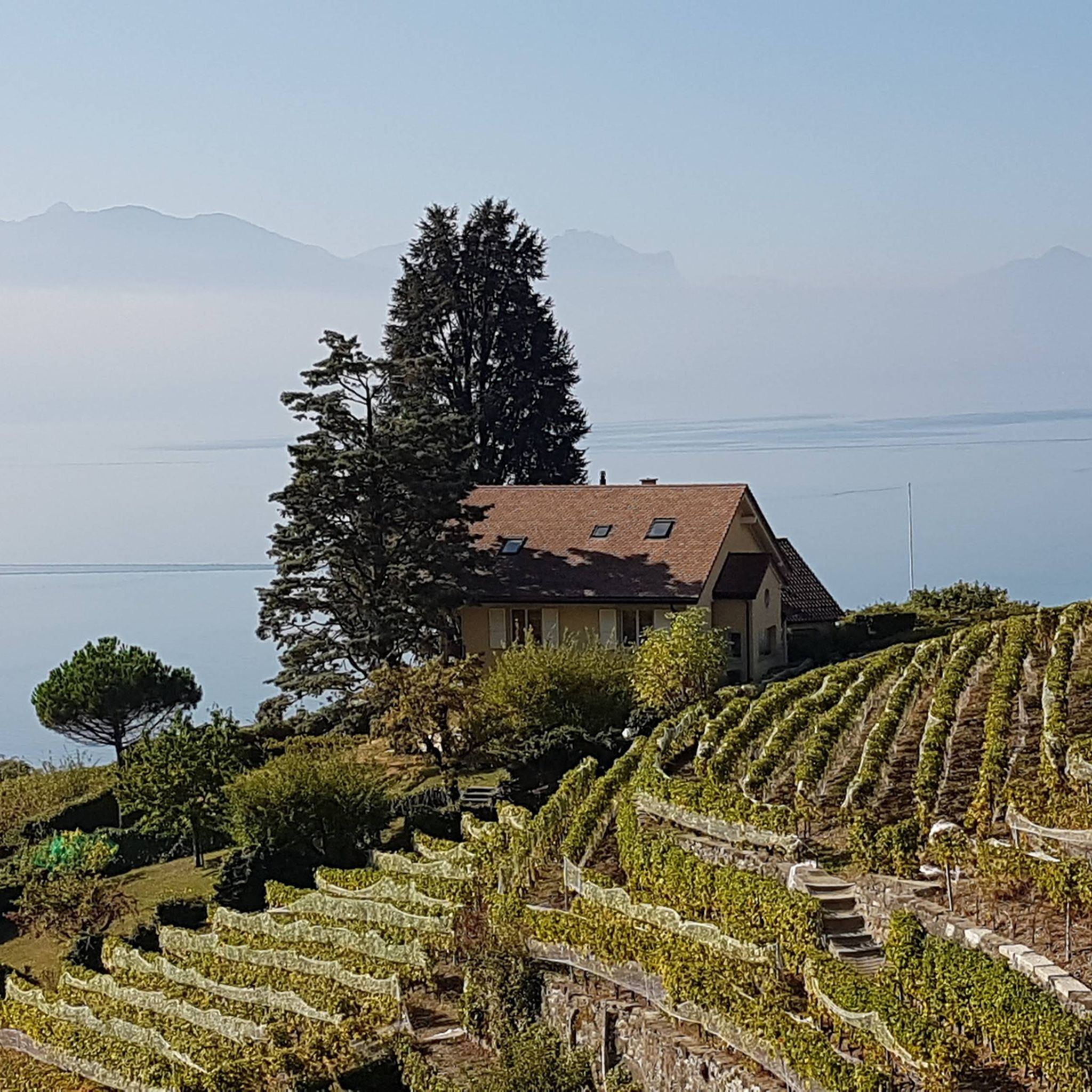
Cycling around Divonne-Les-Bains
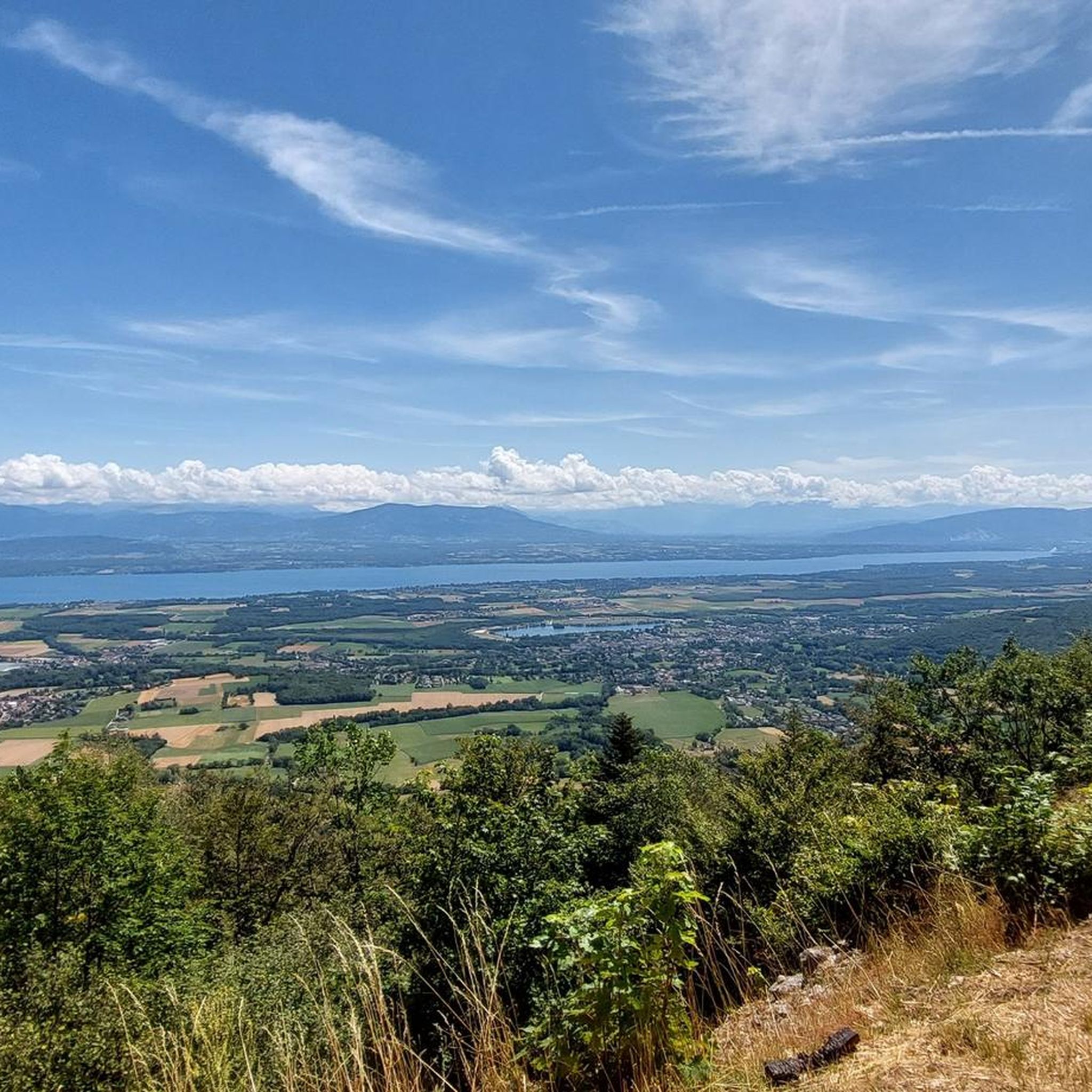
MTB Trails around Divonne-Les-Bains
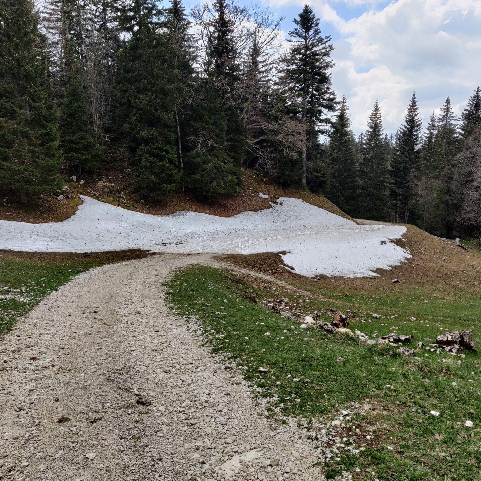
Road Cycling Routes around Divonne-Les-Bains

Gravel biking around Divonne-Les-Bains
Other adventures around Divonne-Les-Bains


Tips from the Community

Amazing views of the Alps - a huge panorama!
0
0

View of Mt. Blanc between the trees
0
0

steep climb, walking shoes recommended: the view is worth the effort
0
0

Greenery, small trail path, wild nature, everything is there to enjoy a breath of fresh air
1
0

Magnificent view of the summit. Early in the morning, the material gondola is in operation
0
0

Beautiful section of the Jura Ridge Trail
5
0
Beautiful mountain range with a wonderful panorama
5
1
Frequently Asked Questions
What is the general difficulty level of mountaineering routes around Divonne-les-Bains?
The mountaineering routes in the Divonne-les-Bains area primarily range from moderate to difficult. There are 9 moderate routes and 3 difficult routes listed in this guide, offering sustained climbs and challenging terrain, particularly towards summits like La Dôle.
Which mountaineering routes offer the most challenging experience?
For experienced mountaineers seeking a challenge, the La Dôle loop from Les Pralies is a difficult 9.3-mile (15.0 km) route with significant elevation gain, typically taking over 5 hours to complete. This route features sustained climbs towards the La Dôle summit.
Are there any circular mountaineering routes in the Divonne-les-Bains area?
Yes, many of the mountaineering routes around Divonne-les-Bains are circular. Examples include the La Dôle loop from Les Pralies, the View of La Dôle Summit – La Dôle Summit loop from Les Cheseaux, and the La Dôle loop from Col de la Givrine, all designed as loops for a complete experience.
What natural features or landmarks can I expect to see on mountaineering routes near Divonne-les-Bains?
Mountaineering routes in this region offer breathtaking views of the Jura mountains, Lake Geneva, and the Mont Blanc massif. You'll encounter significant peaks like La Dôle Summit and Grand Montrond, as well as mountain passes such as Col de Porte (Jura) and Col de la Faucille (1323 m). The area is also known for its extensive woodlands and natural springs.
What is the best season for mountaineering in Divonne-les-Bains?
The Divonne-les-Bains region offers mountaineering opportunities throughout the year. While summer and autumn provide ideal conditions for hiking with clear trails and pleasant weather, winter also opens up possibilities for snowshoeing and winter sports, especially in higher elevations of the Jura mountains.
Are there any options for winter mountaineering or snowshoeing in the area?
Yes, the Jura mountains surrounding Divonne-les-Bains are suitable for winter activities. The region provides connectivity to ski resorts and offers opportunities for snowshoe treks, allowing you to explore the snowy landscapes. Always check local conditions and avalanche warnings before heading out in winter.
Are the mountaineering routes around Divonne-les-Bains suitable for families?
While there are no 'easy' routes listed in this guide, some of the moderate routes might be suitable for active families with older children who are accustomed to hiking. For example, the La Dôle loop from Col de la Givrine is a moderate 3.5-mile (5.6 km) trail that takes about 2 hours 14 minutes, offering a less strenuous option compared to longer routes.
Can I access mountaineering routes near Divonne-les-Bains using public transport?
Access to specific trailheads by public transport can vary. While Divonne-les-Bains itself has public transport connections, reaching the starting points for some mountaineering routes in the Jura mountains might require additional planning or a short drive. It's advisable to check local bus schedules or consider carpooling for routes further afield.
What do other mountaineers enjoy the most about mountaineering in Divonne-les-Bains?
The area is highly rated by the komoot community, with an average score of 5.0 stars. Reviewers often praise the stunning panoramic views of Lake Geneva and Mont Blanc, the diverse terrain of the Jura mountains, and the well-maintained trails that lead through dense forests and high mountain pastures.
Are there any less strenuous mountaineering options for those new to the sport?
While there are no routes classified as 'easy' in this guide, several moderate options provide a good introduction to mountaineering without being overly demanding. The Nyon Ski Club Hut – Col de Porte (Jura) loop from Les Cheseaux is a moderate 6-mile (9.7 km) route with a manageable elevation gain, offering a rewarding experience without extreme difficulty.
Which routes offer the best panoramic views of Lake Geneva and Mont Blanc?
Many routes in the region boast incredible vistas. The View of La Dôle Summit – La Dôle Summit loop from Les Cheseaux is a popular moderate route specifically known for its extensive views of the Jura mountains and Lake Geneva. Similarly, routes ascending to La Dôle Summit and Grand Montrond are renowned for their 360-degree panoramas, often including Mont Blanc on clear days.
Are there any long-distance mountaineering routes for multi-day trips?
This guide focuses on day-long mountaineering routes, with the longest being the La Dôle loop from Les Pralies at 9.3 miles (15.0 km). However, the extensive network of trails in the Natural Regional Park of the Haut-Jura, adjacent to Divonne-les-Bains, offers possibilities for combining routes or planning longer treks for multi-day adventures.
Most popular routes around Divonne-Les-Bains
Most popular attractions around Divonne-Les-Bains

Get inspired with the komoot mobile app


Explore more
Browse the best Mountain Hikes & Routes in other regions.
