The best mountain hikes around Saint-Rémy-De-Maurienne
4.2
(6)
57
hikers
6
hikes
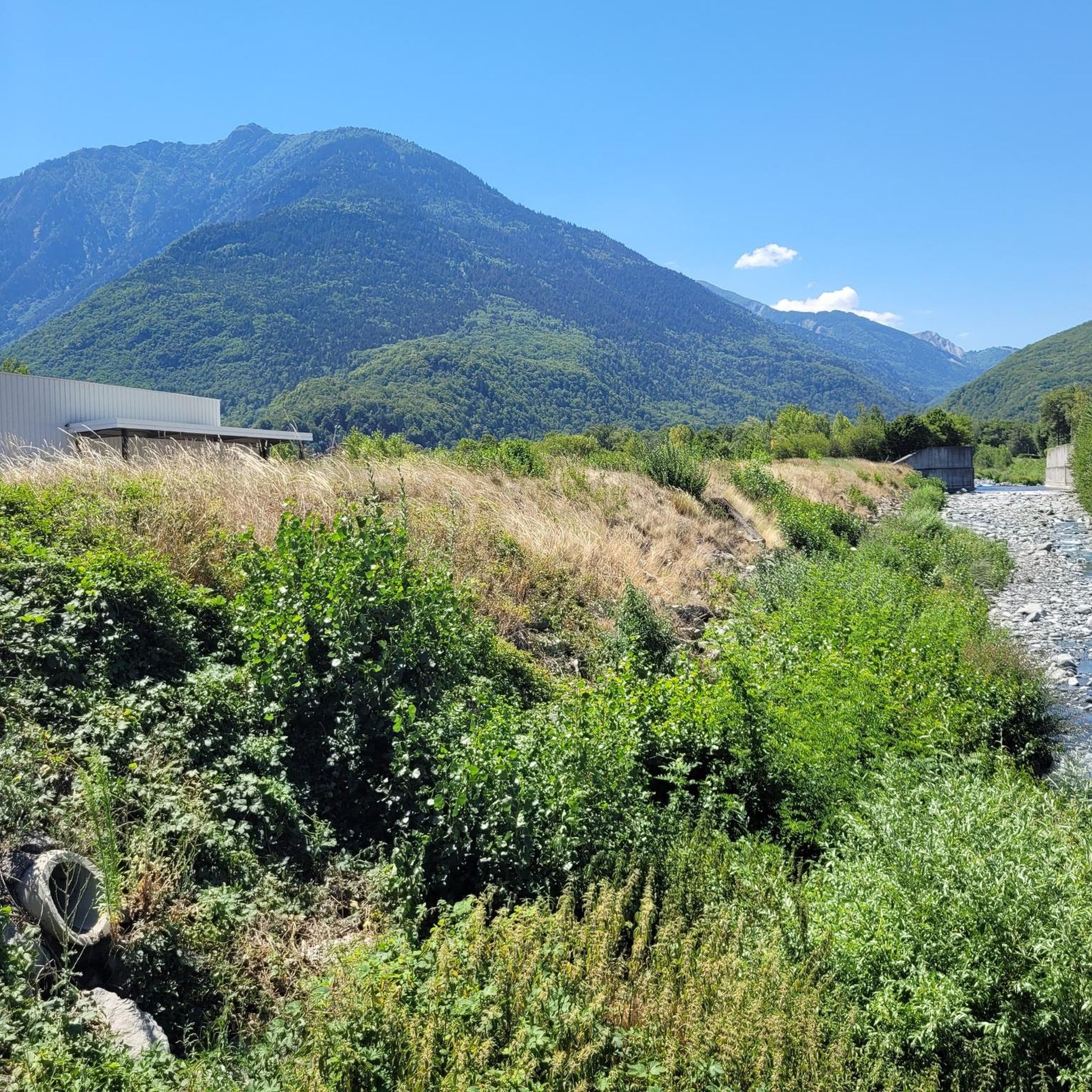
Mountaineering around Saint-Rémy-De-Maurienne offers a diverse alpine landscape characterized by high mountain passes, deep valleys, and a mix of coniferous forests and open rock faces. The region features significant elevation changes, providing challenging ascents and rewarding panoramic views of the surrounding peaks. Glacial cirques and high-altitude lakes are common features, contributing to the rugged terrain.
Best mountaineering routes around Saint-Rémy-De-Maurienne
- The most popular mountaineering route is Lac du Collet – Les Plagnes loop from Le Collet d'Allevard, a 5.2…
Last updated: May 25, 2026
17
hikers
8.01km
03:09
590m
590m
Moderate mountaineering route. Good fitness required. Mostly accessible paths. Sure-footedness required.
4.0
(3)
16
hikers
11.5km
05:39
930m
930m
Hard mountaineering route. Very good fitness required. Mostly accessible paths. Sure-footedness required.

Sign up for free
3.5
(2)
11
hikers
19.8km
08:35
1,380m
1,380m
Hard mountaineering route. Very good fitness required. Mostly accessible paths. Sure-footedness required.
5.0
(1)
7
hikers
14.4km
06:23
1,180m
1,180m
Hard mountaineering route. Very good fitness required. Mostly accessible paths. Sure-footedness required.
6
hikers
13.9km
05:36
990m
990m
Hard mountaineering route. Very good fitness required. Mostly accessible paths. Sure-footedness required.
Our route recommendations are based on thousands of hikes, rides, and runs completed by other people on komoot.
Start today with a free account
Your next adventure awaits.
Login or Signup
Tips from the Community

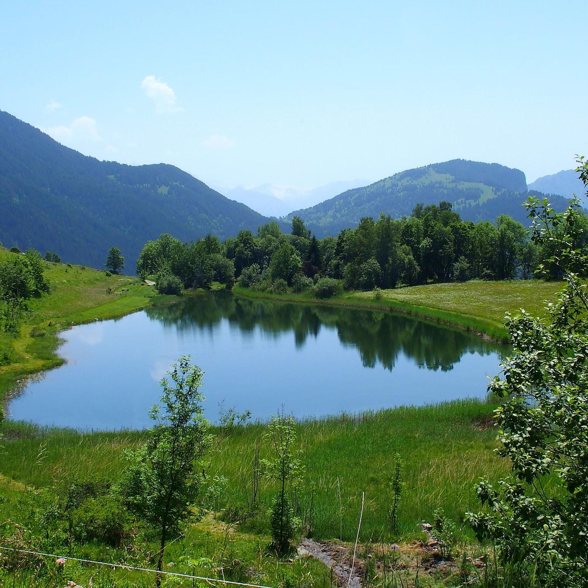
Very charming lake that you will like no matter the weather 👀👍🏾
0
0

And also and especially in good weather on Mont Blanc my dear Chloé 🤪
0
0

Incredible views of the mountains and the lake from the ridge just below the top of the Cheval Noir.
0
0
At 2,832 meters, this summit, still little known, offers a 360° panorama at the top. Incredible views.
0
0
At 2,139 meters, this lake is located near a rocky outcrop. It turns blue-black after the avalanches melt.
0
0
A small lake at 2,137 meters. The color of the water is amazing!
0
0

Bring walking sticks. Plenty of water. Good shoes.
0
0

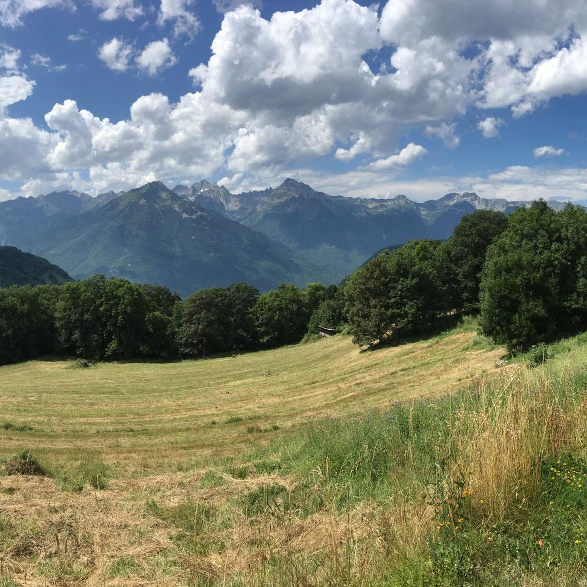
Here, you can enjoy a 360° panorama of all the surrounding mountains: Belledonne, Vercors, Chartreuse, Bauges, and even Mont Blanc on a clear day! An orientation table makes it possible to identify the surrounding peaks.
0
0
Frequently Asked Questions
What are the general difficulty levels for mountaineering routes around Saint-Rémy-De-Maurienne?
The mountaineering routes in this area primarily cater to experienced hikers. You'll find a selection of moderate and difficult trails, with no easy routes listed in our current guide. This reflects the challenging alpine terrain of the Maurienne valley.
Are there any beginner-friendly mountaineering routes in Saint-Rémy-De-Maurienne?
While there are no routes specifically classified as 'easy' in our guide, some of the moderate routes could be suitable for beginners with good physical fitness and prior hiking experience. For example, the Lac du Collet – Les Plagnes loop from Le Collet d'Allevard is a moderate 5.2-mile trail that offers varied terrain and a scenic alpine lake.
What kind of advanced mountaineering challenges can I expect near Saint-Rémy-De-Maurienne?
For advanced mountaineers, the region offers several challenging routes with significant elevation gains and rugged terrain. Trails like the Les Grands Moulins – Grande Montagne d'Arvillard loop from Parking de Val Pelouse traverse high mountain ridges, providing expansive views and demanding ascents.
Are there any circular mountaineering trails available?
Yes, many of the routes around Saint-Rémy-De-Maurienne are designed as circular trails, allowing you to start and end at the same point. Examples include the Lac du Collet – Les Plagnes loop from Le Collet d'Allevard and the Grande Montagne d'Arvillard – Les Grands Moulins loop from Institut Karma Ling.
What is the best time of year for mountaineering in Saint-Rémy-De-Maurienne?
The prime season for mountaineering in the Maurienne valley typically runs from late spring to early autumn (June to September). During this period, snowmelt has usually cleared from higher elevations, and weather conditions are generally more stable, offering clearer paths and better visibility for panoramic views.
What do other mountaineers say about the routes in Saint-Rémy-De-Maurienne?
The routes in Saint-Rémy-De-Maurienne are highly rated by the komoot community, with an average score of 4.2 stars from 6 reviews. Mountaineers often praise the challenging ascents, the rewarding panoramic views of the French Alps, and the diverse alpine landscapes featuring high-altitude lakes and rugged terrain.
Are there any notable landmarks or attractions to see along the mountaineering routes?
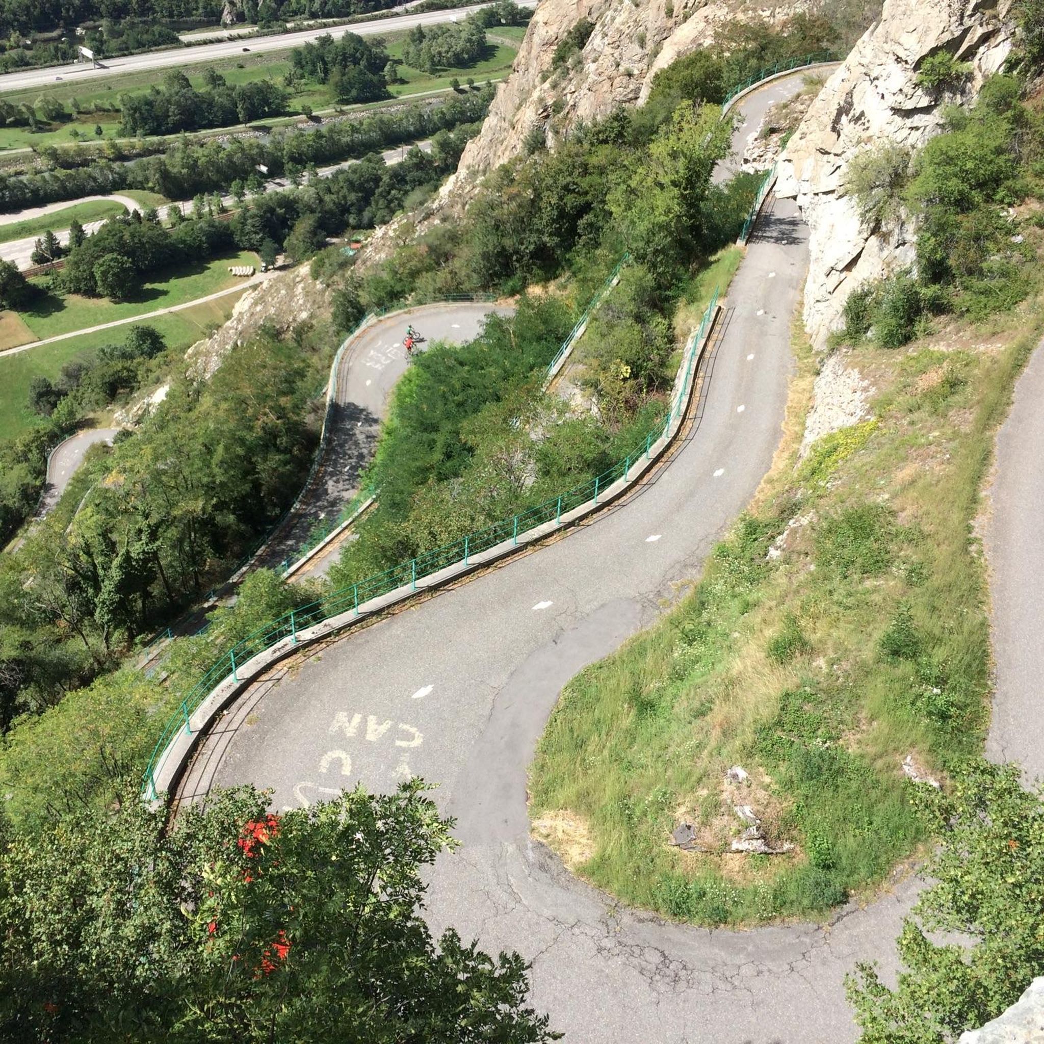
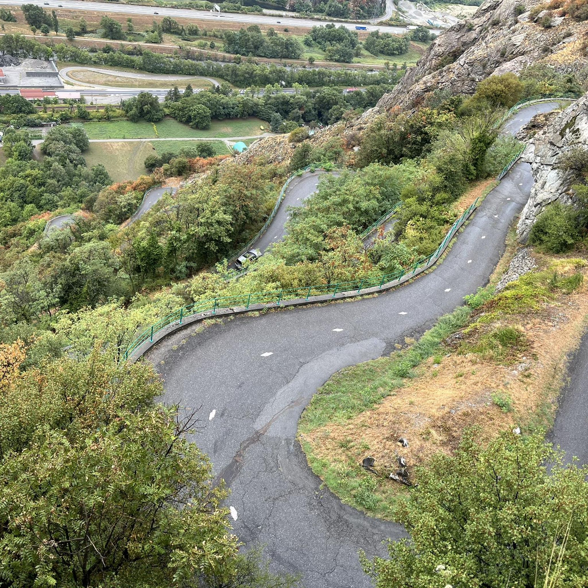
Yes, the region is rich in natural beauty and interesting features. Along or near some routes, you might encounter impressive mountain passes like Col du Chaussy or Col de la Madeleine. The Montvernier Hairpins are also a famous sight in the area, offering spectacular views.
Is parking readily available at the trailheads?
Parking availability can vary depending on the specific trailhead. For routes like the Les Grands Moulins – Grande Montagne d'Arvillard loop, there is a designated starting point at Parking de Val Pelouse. It's always advisable to check specific route details for parking information before you set out, especially during peak season.
Can I access mountaineering routes using public transport?
Access to some trailheads by public transport can be limited in this alpine region. While some villages might have bus services, direct connections to remote starting points for mountaineering routes are less common. Planning for personal transport or local taxi services is often recommended for greater flexibility.
Are there any multi-day mountaineering options in the area?
While our guide focuses on day routes, the extensive network of trails and mountain huts in the wider Maurienne valley certainly lends itself to multi-day expeditions. You could link several challenging routes, such as the White Lake – Blue Lake loop from Saint-François-Longchamp 1650, to create a longer adventure, requiring careful planning for overnight stays.
What kind of wildlife might I encounter while mountaineering in Saint-Rémy-De-Maurienne?
The alpine environment around Saint-Rémy-De-Maurienne is home to diverse wildlife. Keep an eye out for chamois and ibex on rocky slopes, marmots in alpine meadows, and various birds of prey soaring overhead. Respecting their habitat and maintaining a quiet presence increases your chances of spotting them.
Are there any hidden gem mountaineering routes that are less frequented?
While all routes in our guide are well-regarded, the Grande Montagne d'Arvillard loop from Institut Karma Ling, though challenging, offers a deep dive into alpine meadows and rocky summits that might feel more secluded than some of the more popular trails, providing a sense of discovery away from the crowds.
Most popular routes around Saint-Rémy-De-Maurienne
Most popular attractions around Saint-Rémy-De-Maurienne

Get inspired with the komoot mobile app


Explore more
Browse the best Mountain Hikes & Routes in other regions.
