The best mountain hikes around Marcellaz
4.9
(5)
46
hikers
2
hikes
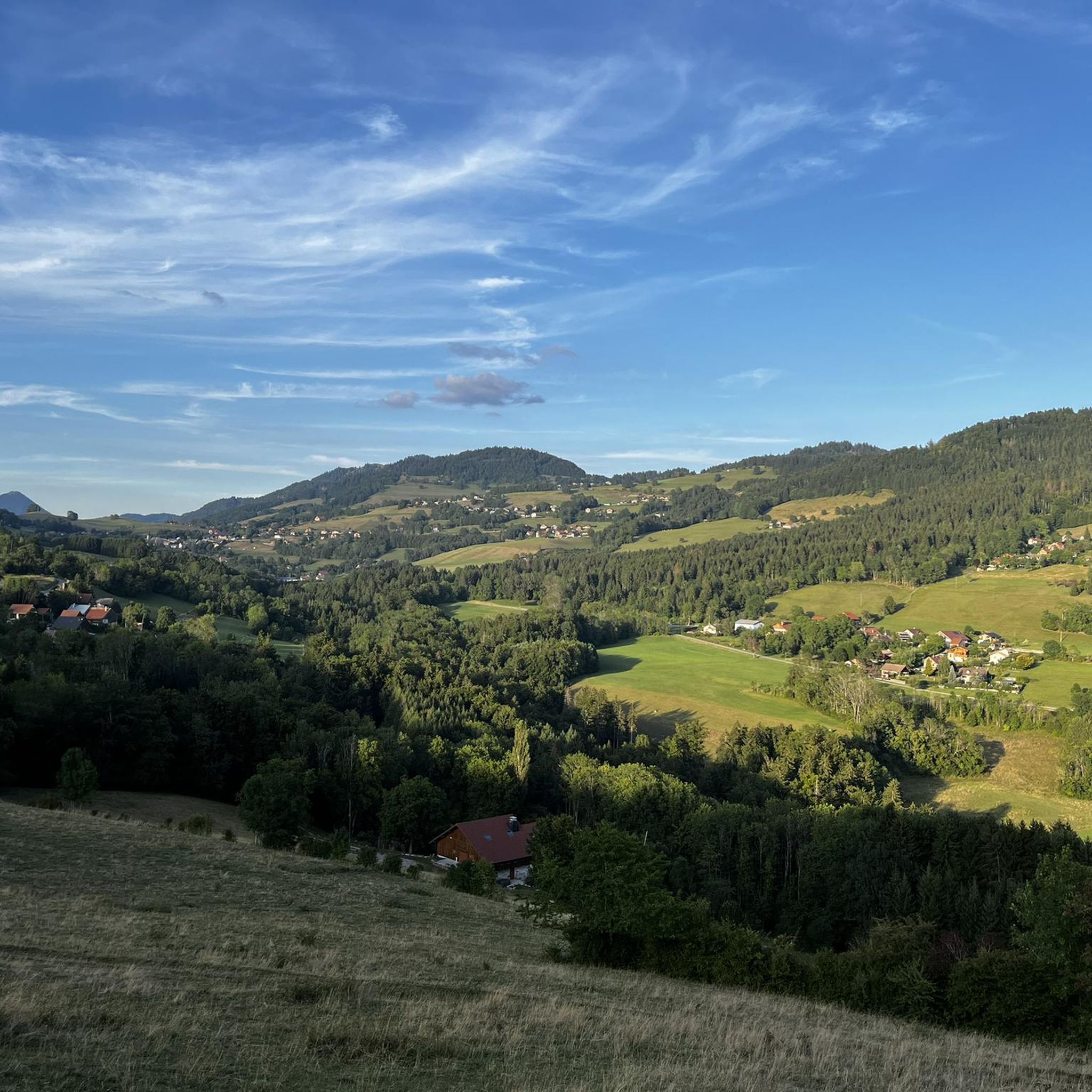
Mountaineering around Marcellaz features challenging routes through the mountainous terrain of the region, characterized by significant elevation gains and panoramic views. The area is dominated by peaks such as Le Môle and Petit Môle, offering varied landscapes for experienced mountaineers. These routes often involve sustained climbs and descents, traversing diverse natural environments.
Best mountaineering routes around Marcellaz
- The most popular mountaineering route is Petit Môle – Le Môle loop from Ayse, a 5.4 miles (8.7 km) trail that takes…
Last updated: August 15, 2026
4.8
(4)
33
hikers
8.59km
04:12
670m
670m
Hard mountaineering route. Good fitness required. Sure-footedness, sturdy shoes and alpine experience required.
5.0
(1)
8
hikers
16.6km
07:30
1,340m
1,340m
Hard mountaineering route. Very good fitness required. Sure-footedness, sturdy shoes and alpine experience required.

Sign up for free
2
hikers
10.0km
03:16
440m
440m
Moderate mountaineering route. Good fitness required. Mostly accessible paths. Sure-footedness required.
2
hikers
6.60km
02:10
300m
300m
Hard mountaineering route. Good fitness required. Sure-footedness, sturdy shoes and alpine experience required.
1
hikers
8.25km
02:52
390m
390m
Hard mountaineering route. Good fitness required. Sure-footedness, sturdy shoes and alpine experience required.
Our route recommendations are based on thousands of hikes, rides, and runs completed by other people on komoot.
Start today with a free account
Your next adventure awaits.
Login or Signup
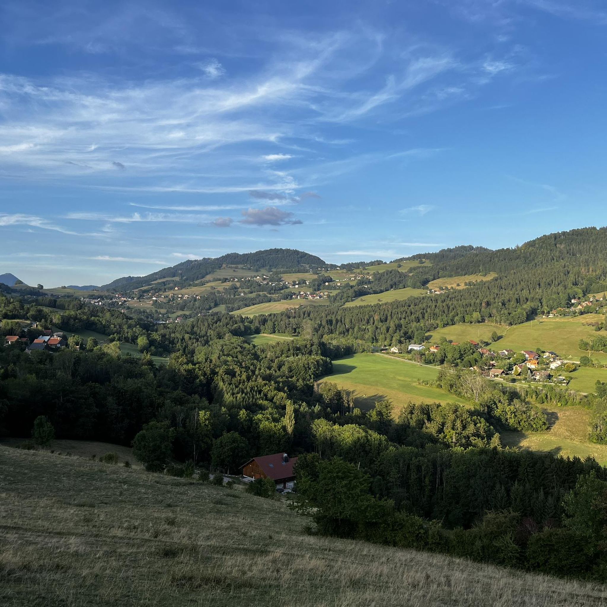
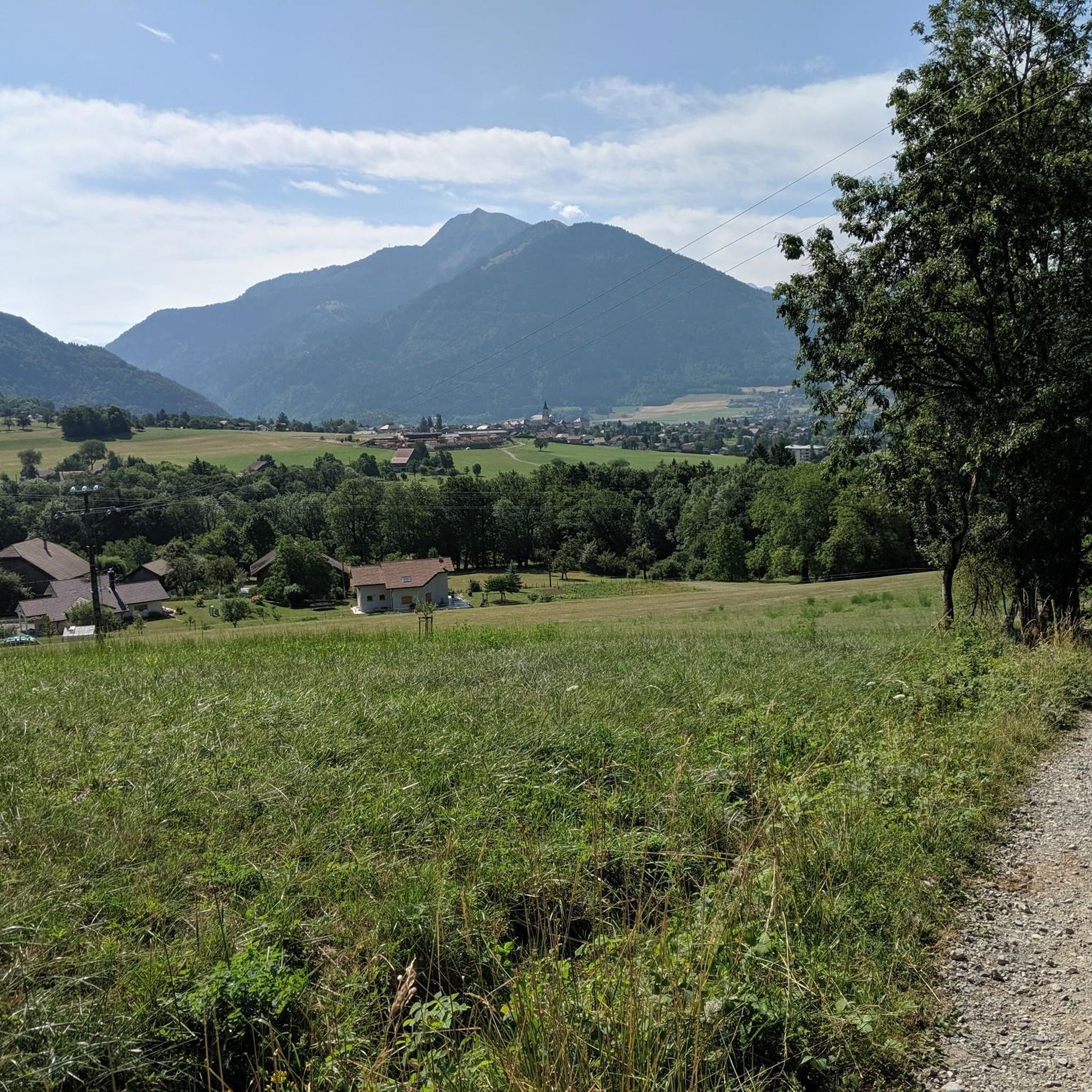
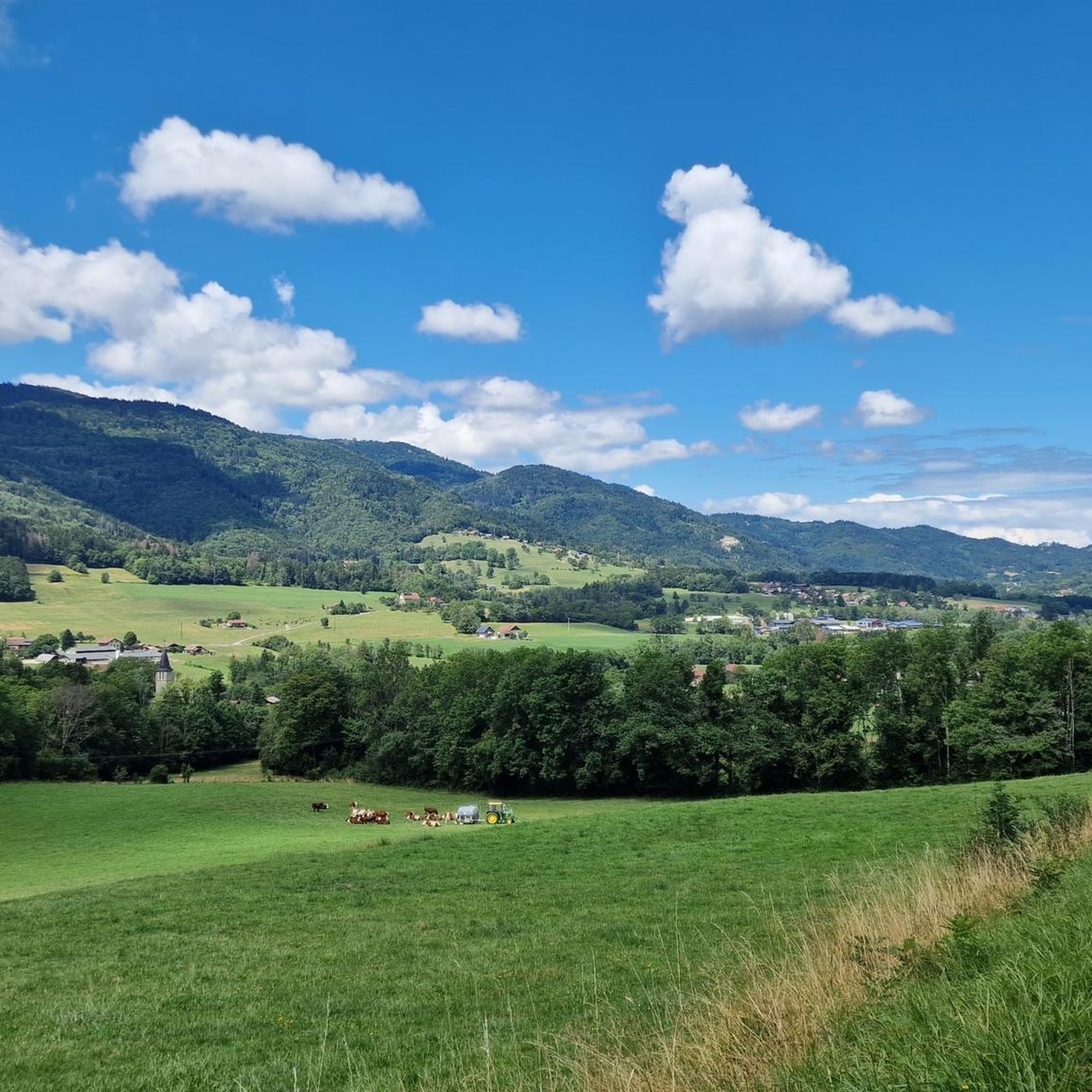

Tips from the Community

360° view of Mont-Blanc, Dents du Midi, Swiss Alps, the Jura, the Salève, Lake Geneva etc... Absolutely beautiful and with today's cloudless sky it was magnificent.
0
0

Very nice hike. It was quite crowded today. Contrary to what’s written in the description, I didn’t see any particularly risky passages
0
0


The Ajon climb is signposted from Villard. It is 7.3 kilometres long and has an average gradient of 8.3% with a passage at over 15%. At the top, the view at an altitude of 1,406 metres is delightful.
1
0

Steep ascent, many parts are steeper than 10%. In 2023, this climb was included in the Tour.
0
1


Frequently Asked Questions
What is the overall difficulty level of mountaineering routes around Marcellaz?
Mountaineering around Marcellaz is characterized by challenging routes with significant elevation gains. Most routes are classified as difficult, but there is one moderate option: the Brantaz Peak loop from Lucinges.
How many mountaineering routes are available in the Marcellaz area?
There are five distinct mountaineering routes detailed for the Marcellaz region, offering various challenges and scenic views through the mountainous terrain.
What are some of the prominent peaks or landmarks I might encounter on these routes?
The routes frequently involve ascents to prominent local peaks such as Le Môle and Petit Môle. You might also encounter natural features like the La Gouille aux Morts lake or the Col de Réray mountain pass.
Are there any circular mountaineering routes in Marcellaz?
Yes, several routes are circular. For example, the Petit Môle – Le Môle loop from Ayse and the Le Môle – Petit Môle loop from Ayse both offer round trips starting and ending in Ayse.
What do other mountaineers say about the routes in Marcellaz?
The komoot community highly rates the mountaineering routes in Marcellaz, with an average score of 4.9 stars from over 7 reviews. Users often praise the challenging ascents and rewarding panoramic views from the peaks.
How long do the mountaineering tours in Marcellaz typically take?
The duration varies significantly depending on the route's length and difficulty. For instance, the Petit Môle loop from Ayse can be completed in about 2 hours 25 minutes, while the longer Le Môle – Petit Môle loop from Ayse takes around 7 hours 27 minutes.
Are there any waterfalls or natural monuments to see along the mountaineering trails?
Yes, you can discover natural attractions. The Cascade du Dard waterfall is a notable feature, and you might also encounter the unique Copacou Stone natural monument.
What kind of terrain can I expect on these mountaineering routes?
Expect varied mountainous terrain with significant elevation changes. The routes traverse diverse natural environments, from forested sections to more exposed rocky paths as you approach the summits of peaks like Le Môle.
Is there a route that offers a good challenge without being excessively long?
The Brantaz Peak loop from Lucinges is a moderate 6.2-mile (10.0 km) path that provides a good challenge with rewarding views, typically taking around 3 hours 16 minutes.
Are there any other interesting points of interest near the mountaineering routes?
Beyond the trails, you can find other points of interest such as the Signal of the Voirons, offering panoramic views, or the historic Europe Bridge.
What is the shortest mountaineering route available in Marcellaz?
The shortest mountaineering route listed is the Pointe de Miribel loop from Bogève, which covers 4.0 miles (6.4 km) and typically takes about 2 hours 7 minutes.
Most popular routes around Marcellaz
Most popular attractions around Marcellaz

Get inspired with the komoot mobile app


Explore more
Browse the best Mountain Hikes & Routes in other regions.
