The best mountain hikes around Villard
3.8
(6)
43
hikers
8
hikes
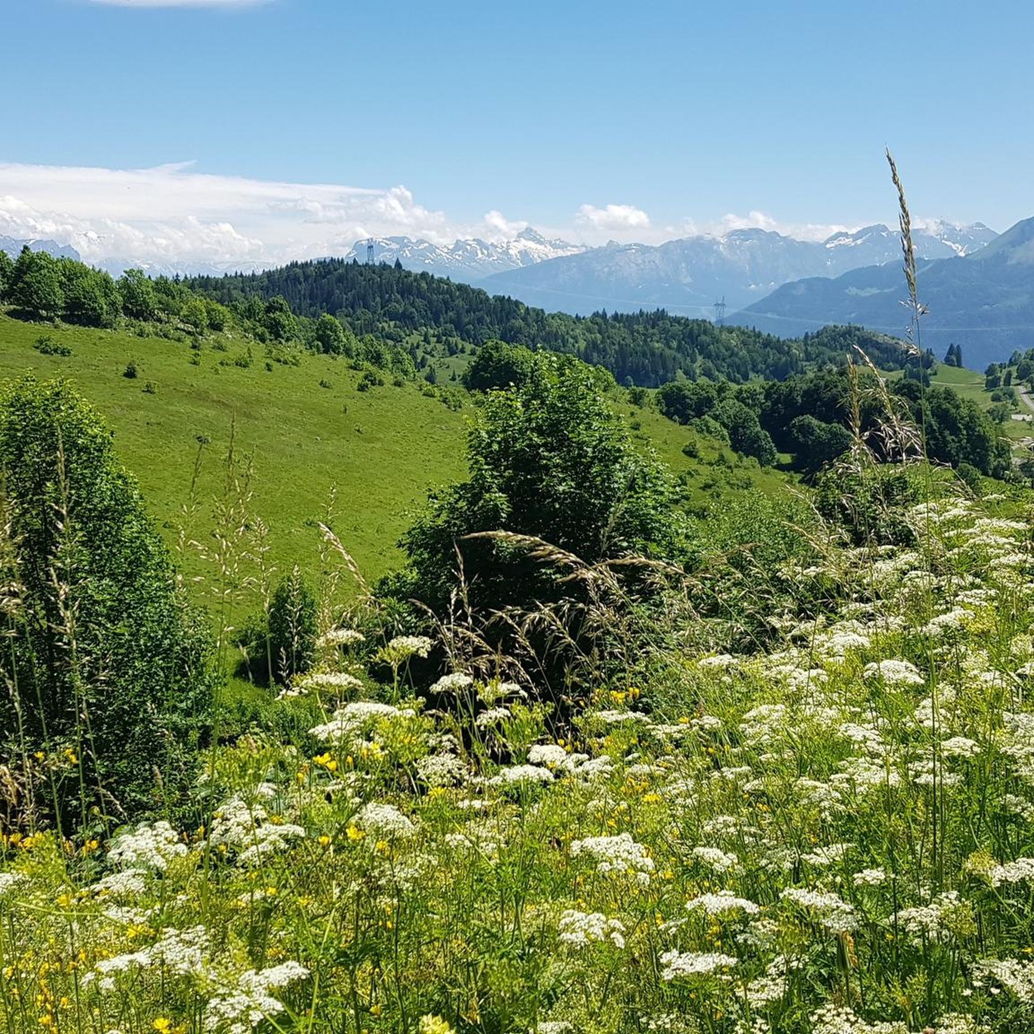
Mountaineering around Villard offers a diverse landscape characterized by high mountain passes, prominent peaks, and alpine lakes. The region, situated near Thonon-Les-Bains, features challenging ascents and scenic loops through varied terrain. Mountaineers can expect routes that traverse open ridges, forested slopes, and rocky sections, providing panoramic views of the surrounding mountains.
Best mountaineering routes around Villard
- The most popular mountaineering route is Pointe de Chalune – Col de Vésinaz loop from Praz de Lys Sommand, a 4.8 miles (7.7…
Last updated: July 6, 2026
4.3
(3)
15
hikers
12.9km
04:39
740m
740m
Moderate mountaineering route. Good fitness required. Easily-accessible paths. Suitable for all skill levels.
5
hikers
11.9km
04:57
930m
930m
Hard mountaineering route. Very good fitness required. Sure-footedness, sturdy shoes and alpine experience required.

Sign up for free
3.0
(1)
4
hikers
8.94km
03:26
470m
470m
Moderate mountaineering route. Good fitness required. Mostly accessible paths. Sure-footedness required.
3.0
(1)
6
hikers
4.80km
02:39
480m
480m
Moderate mountaineering route. Good fitness required. Mostly accessible paths. Sure-footedness required.
5.0
(1)
2
hikers
9.41km
04:29
740m
740m
Moderate mountaineering route. Good fitness required. Mostly accessible paths. Sure-footedness required.
Get access to more routes and recommendations from other explorers.
Sign up for free
Already have an account?
Our route recommendations are based on thousands of hikes, rides, and runs completed by other people on komoot.
Start today with a free account
Your next adventure awaits.
Login or Signup

Tips from the Community

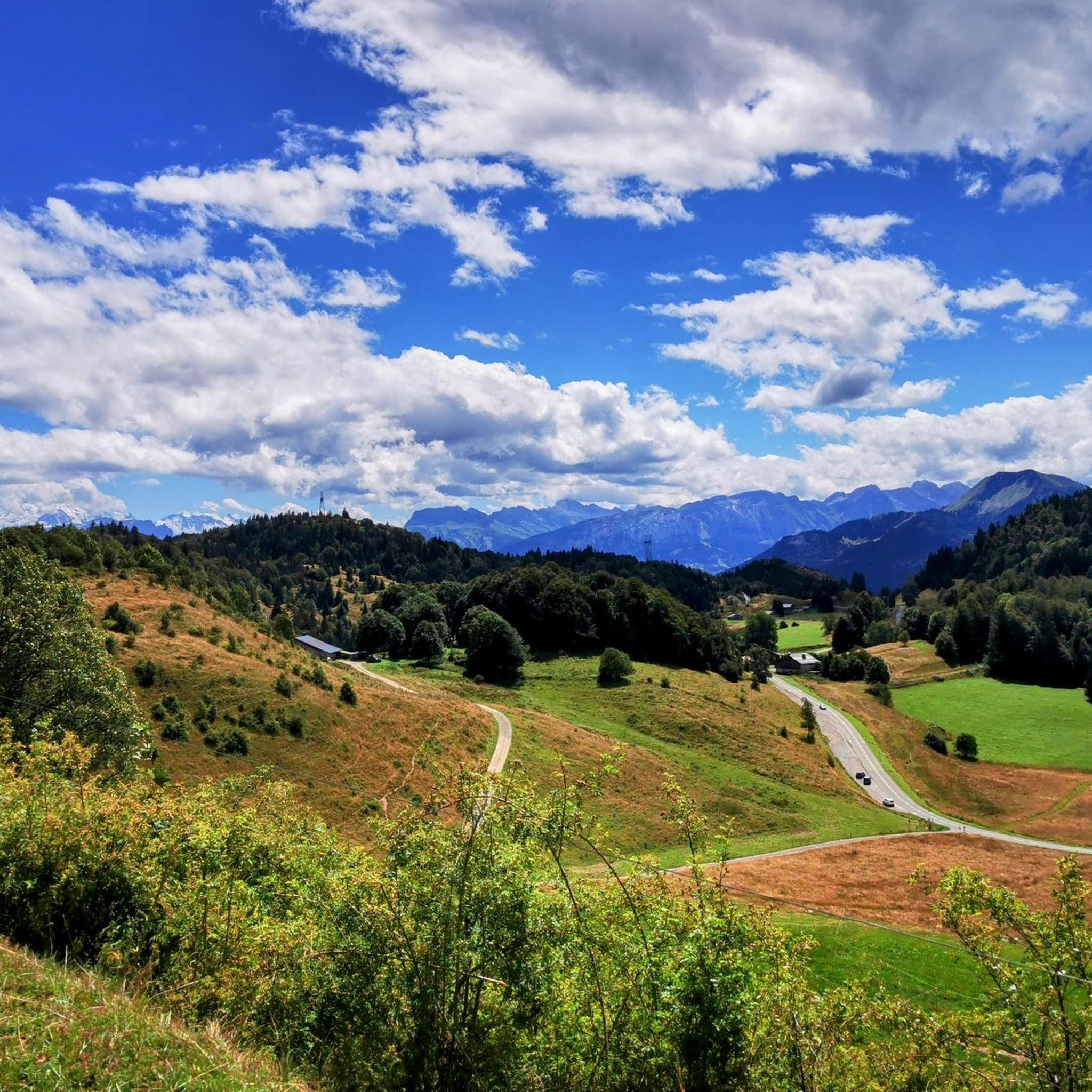
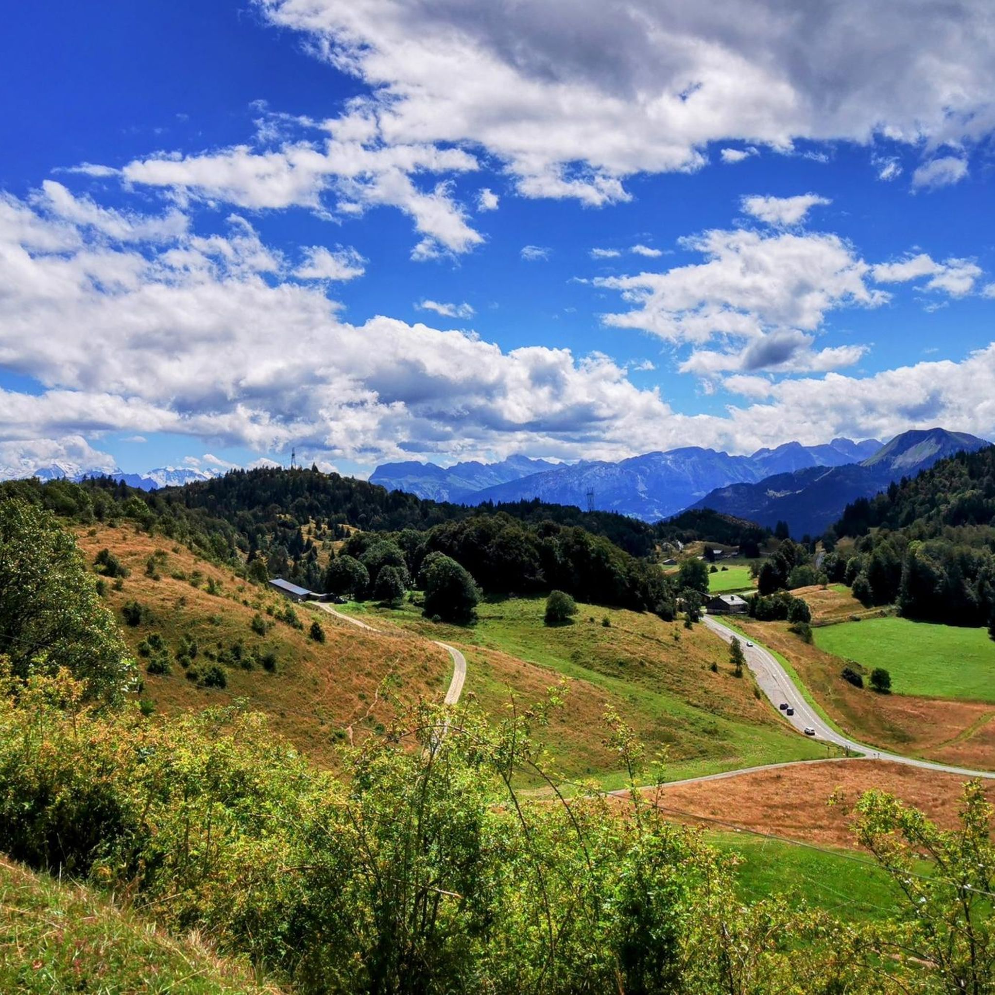
When you descend from Col de la Ramaz to Munes you will find yourself in a wonderfully beautiful hilly alpine meadow.
0
0


Col de Seytrouset, just on the heights of the mountain pasture of the same name, you can continue towards Niflon d'en Haut on one side or descend on the other to reach the Col de la Balme, above Avanchéreau. Nice point of view.
0
0


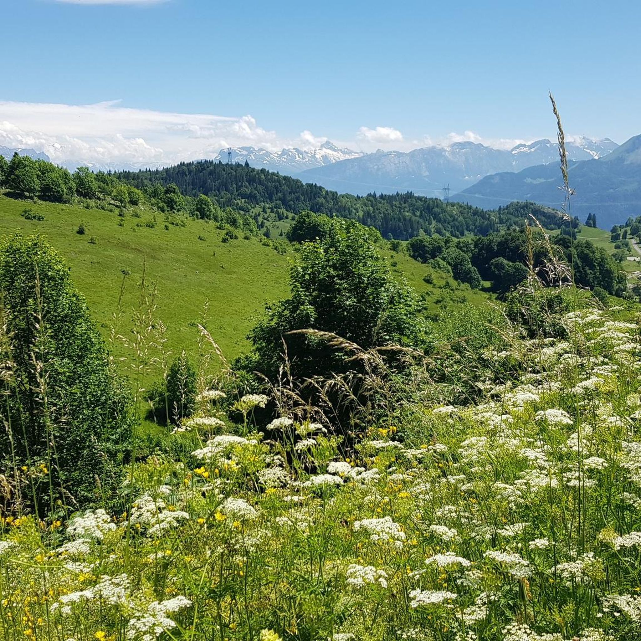
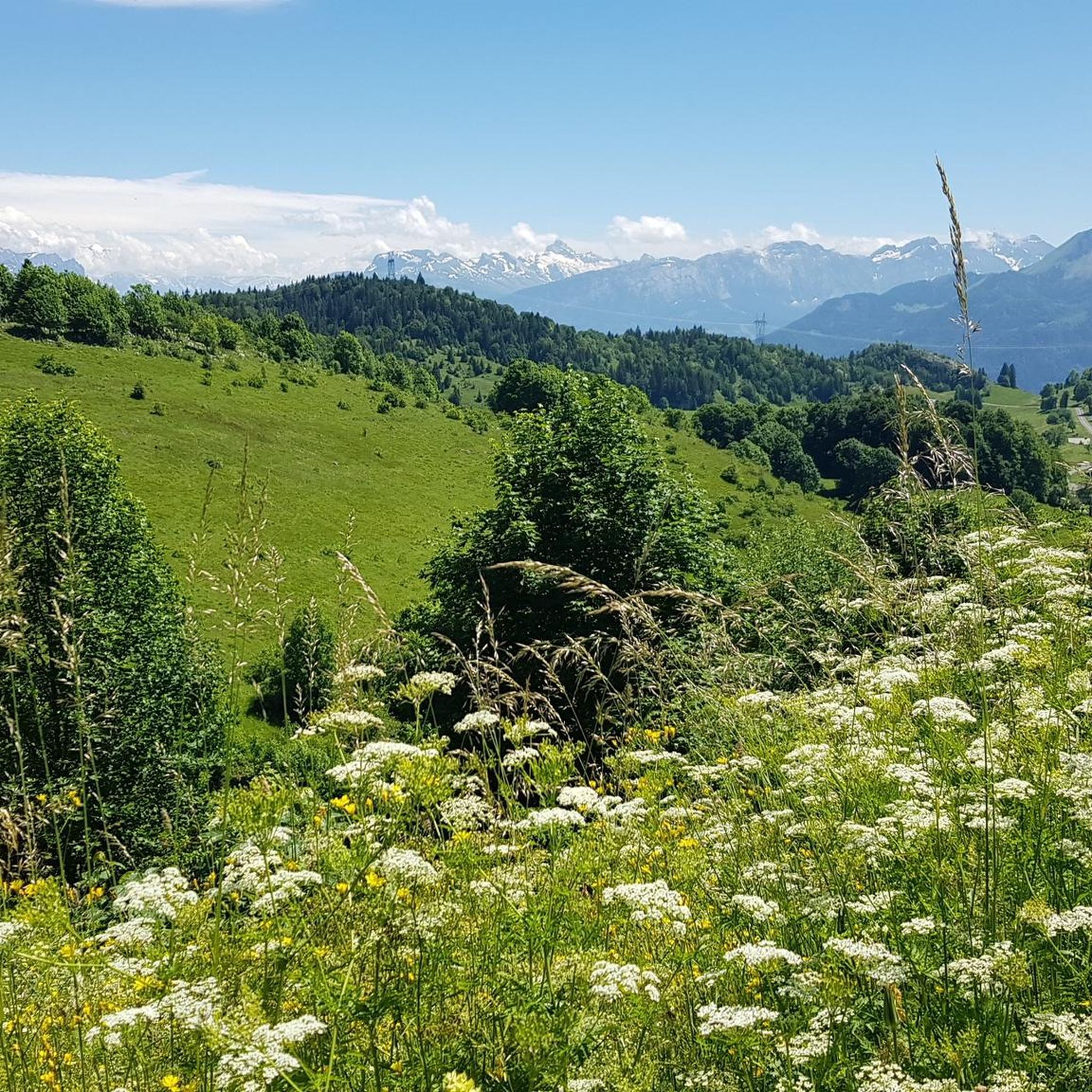
A summit with some of the best views of the surrounding alps.
0
0

Amazing views of Mt Blanc. A bit of a scramble in the final few meters but most of the route up is good T2 path
1
0

Snow was pressed to ice in the deep crevice and dragged up to Nifflon d’en skin in summer to feed the cattle. Due to the karst rock, the alp is without water in summer.
1
0
Frequently Asked Questions
What is the general difficulty level of mountaineering routes around Villard?
Mountaineering around Villard offers a range of difficulties. You'll find a good mix of moderate ascents and more challenging routes. Out of the 9 routes listed, 5 are considered moderate, and 4 are difficult, providing options for various skill levels.
Are there any beginner-friendly mountaineering routes in Villard?
While there are no routes specifically classified as 'easy' in our current selection, several moderate routes could be suitable for beginners with a reasonable level of fitness. For instance, the Pointe de Chalune – Col de Vésinaz loop from Praz de Lys Sommand is a moderate 4.8-mile (7.7 km) trail that takes around 3 hours to complete, offering a good introduction to the region's terrain.
What are some challenging mountaineering routes for experienced hikers in Villard?
For those seeking a more demanding experience, Villard offers several difficult routes. The Pointe de Chalune – Col de Foron loop from Lac de Vallon is a challenging 7.4-mile (11.9 km) trail with significant elevation gain, typically completed in just under 5 hours. This route leads through high mountain terrain and past Lac de Vallon.
How long do mountaineering routes in Villard typically take to complete?
The duration of mountaineering routes in Villard varies depending on the trail's length and difficulty. Moderate routes like the Col de Chalune loop from Praz de Lys Sommand, which is 7.2 miles (11.6 km), can take around 4 hours. More challenging routes, such as the Pointe de Chalune – Col de Foron loop from Lac de Vallon, may require closer to 5 hours.
Can I find circular mountaineering routes in Villard?
Yes, many of the mountaineering routes around Villard are designed as loops, allowing you to start and end at the same point. Examples include the Pointe de Chalune – Col de Vésinaz loop from Praz de Lys Sommand and the Col de Cordon loop from Praz de Lys Sommand, both offering scenic circular journeys.
What kind of terrain can I expect on mountaineering routes in Villard?
The mountaineering routes around Villard traverse a diverse landscape. You can expect to encounter open ridges, forested slopes, and rocky sections. The region is characterized by high mountain passes, prominent peaks, and alpine lakes, providing varied and scenic terrain throughout your journey.
What are some notable viewpoints or landmarks along the mountaineering routes?
Many routes offer panoramic views of the surrounding mountains. While specific viewpoints are not detailed for every route, the region itself is rich in natural landmarks. You might encounter mountain passes like Col de Cou or Jambaz Pass, and summits such as Mount Forchat, which offer expansive vistas.
What do other mountaineers enjoy the most about mountaineering in Villard?
The mountaineering routes in Villard are highly rated by the komoot community, with an average score of 4.3 stars from over 4 reviews. Mountaineers often praise the diverse landscape, challenging ascents, and the panoramic views of the surrounding mountains.
Are there any hidden gem mountaineering routes in Villard?
While all routes offer unique experiences, the Haute-Pointe loop from Praz de Lys Sommand is a moderate 3-mile (4.8 km) route that might be less frequented than some of the longer trails. It offers a rewarding experience with beautiful scenery, perfect for those looking for a slightly quieter adventure.
What is the best time of year for mountaineering in Villard?
The best time for mountaineering in Villard is typically during the warmer months, from late spring to early autumn, when trails are clear of snow and weather conditions are more stable. This allows for safe access to high mountain passes and prominent peaks, offering the best views and hiking conditions.
Where can I find parking for mountaineering routes in Villard?
Many mountaineering routes in Villard start from well-known access points like Praz de Lys Sommand or Lac de Vallon. These locations typically offer designated parking areas for hikers. It's advisable to check specific route descriptions for the most convenient parking options.
Most popular routes around Villard
Most popular attractions around Villard

Get inspired with the komoot mobile app


Explore more
Browse the best Mountain Hikes & Routes in other regions.
