The best mountain hikes around Fillinges
4.8
(4)
34
hikers
4
hikes
Mountaineering routes around Fillinges traverse a landscape characterized by prominent peaks, deep valleys, and alpine forests, offering varied terrain for ascents. The region, situated in the French Alps, features challenging elevation gains and panoramic viewpoints. These routes often involve navigating rocky paths and open mountain slopes, providing a true mountaineering experience.
Best mountaineering routes around Fillinges
- The most popular mountaineering route is Petit Môle – Le Môle loop from Ayse, a 5.4 miles (8.7 km) trail that takes 4…
Last updated: May 25, 2026
4.8
(4)
29
hikers
8.59km
04:12
670m
670m
Hard mountaineering route. Good fitness required. Sure-footedness, sturdy shoes and alpine experience required.
2
hikers
10.0km
03:16
440m
440m
Moderate mountaineering route. Good fitness required. Mostly accessible paths. Sure-footedness required.

Sign up for free
1
hikers
8.24km
02:52
390m
390m
Hard mountaineering route. Good fitness required. Sure-footedness, sturdy shoes and alpine experience required.
Our route recommendations are based on thousands of hikes, rides, and runs completed by other people on komoot.
Start today with a free account
Your next adventure awaits.
Login or Signup
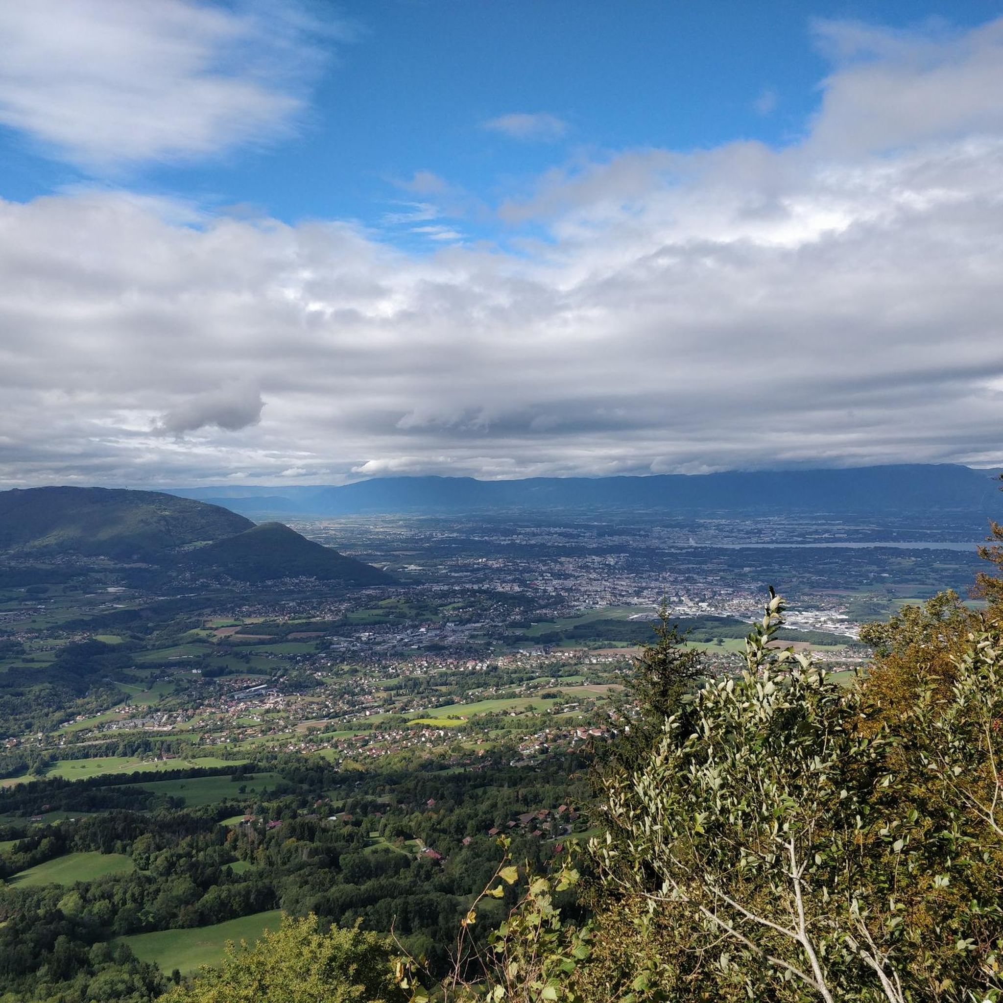
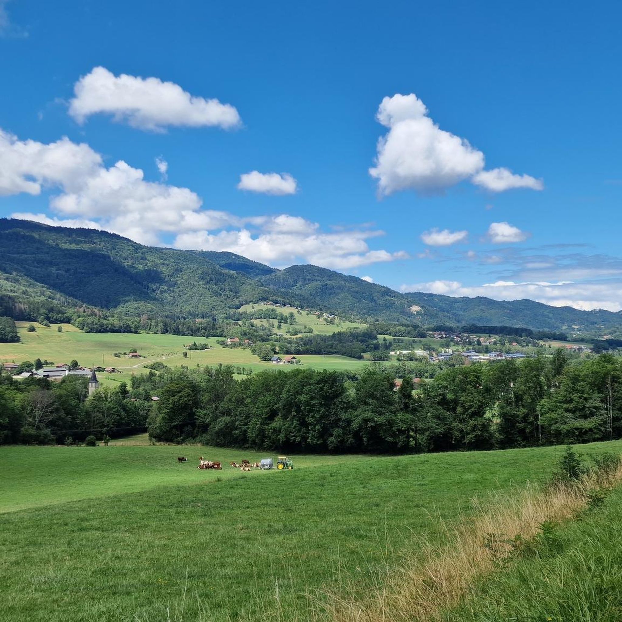
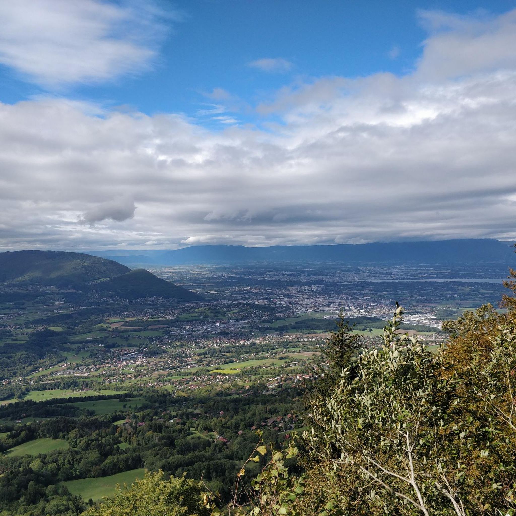
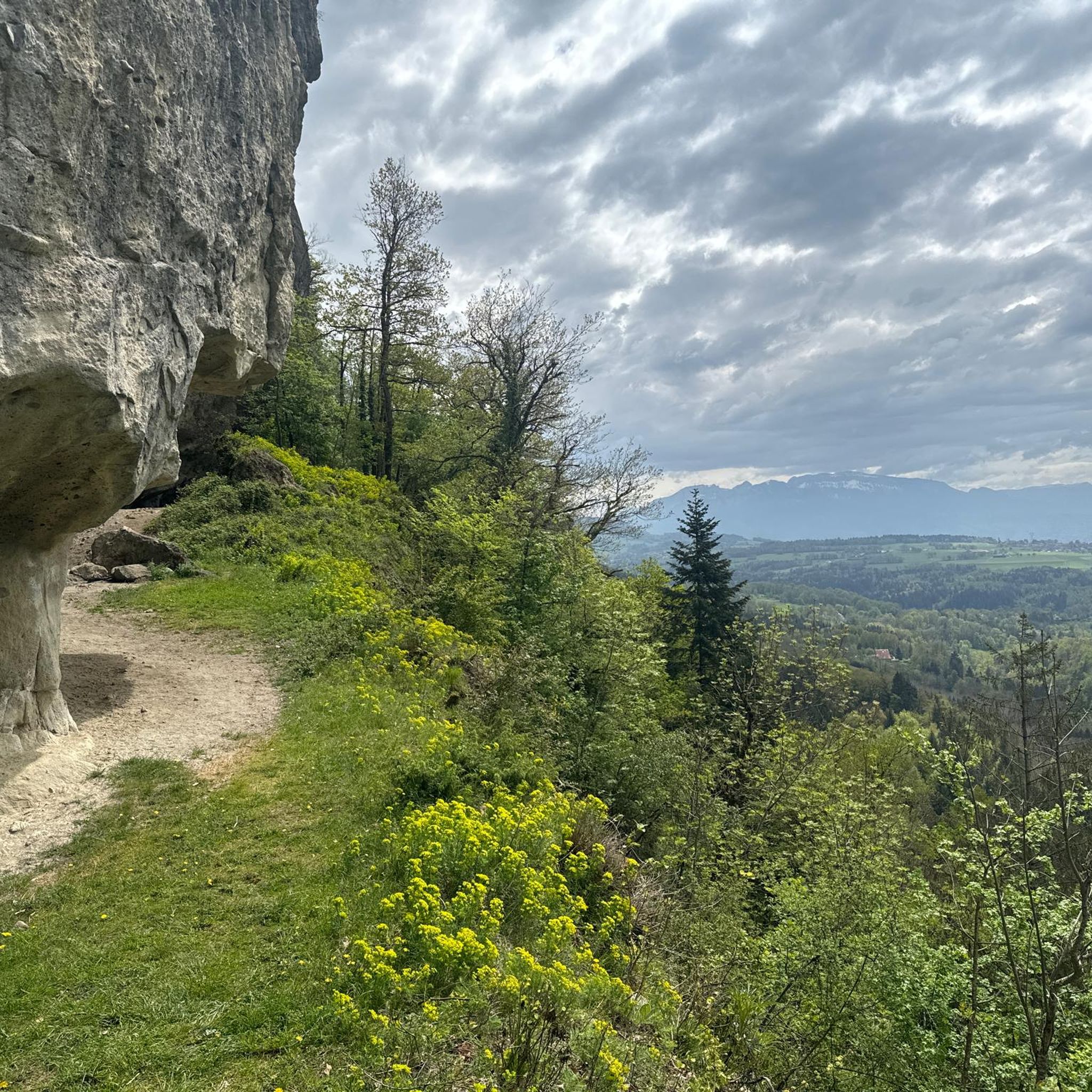
Tips from the Community

Very nice hike. It was quite crowded today. Contrary to what’s written in the description, I didn’t see any particularly risky passages
0
0


The Ajon climb is signposted from Villard. It is 7.3 kilometres long and has an average gradient of 8.3% with a passage at over 15%. At the top, the view at an altitude of 1,406 metres is delightful.
1
0

Steep ascent, many parts are steeper than 10%. In 2023, this climb was included in the Tour.
0
1


The Plaine Joux de Passy is 13.3 km long with a total drop of 756 m. The average gradient is 5.7% with maximum gradients of 15%.
2
1
Frequently Asked Questions
What level of difficulty can I expect from mountaineering routes around Fillinges?
Mountaineering routes in the Fillinges area are generally challenging. You'll find a mix of difficult and moderate trails, with the majority (4 out of 5) rated as difficult. These routes often feature significant elevation gains and technical sections, making them suitable for experienced mountaineers. For example, the Petit Môle – Le Môle loop from Ayse involves over 660 meters of ascent.
Are there any circular mountaineering routes in Fillinges?
Yes, several mountaineering routes around Fillinges are designed as loops, allowing you to start and finish at the same point. Examples include the Brantaz Peak loop from Lucinges, which covers 10 km, and the Pointe de Miribel loop from Bogève, a 6.4 km difficult route.
What kind of distances and elevation gains are typical for mountaineering routes in this region?
The mountaineering routes around Fillinges vary in length and elevation. You can expect distances ranging from approximately 5 km to 10 km. Elevation gains are substantial, typically between 300 meters and 670 meters, reflecting the challenging alpine terrain. For instance, the Petit Môle loop from Ayse is 5.1 km with 372 meters of ascent, while the Petit Môle – Le Môle loop from Ayse is 8.7 km with 667 meters of ascent.
What are some of the best viewpoints along the mountaineering trails near Fillinges?
The mountaineering trails in Fillinges offer numerous panoramic viewpoints, especially from the summits. The region is known for its stunning vistas of the French Alps. Notable summits that provide excellent views include Le Môle summit cross and Pointe de Miribel. Many routes are designed to lead to these prominent peaks, ensuring rewarding scenery.
Are there any waterfalls or natural monuments to see on these routes?
Yes, the Fillinges area is rich in natural beauty. You can encounter features like the Cascade du Dard, a beautiful waterfall, and unique geological formations such as the Copacou Stone and Fairies' Stone. These natural monuments add an extra layer of interest to your mountaineering adventure.
What do other mountaineers say about the routes in Fillinges?
The mountaineering routes around Fillinges are highly regarded by the komoot community, boasting an average rating of 4.9 stars from over 5 reviews. Mountaineers frequently praise the challenging nature of the trails, the significant elevation gains, and the rewarding panoramic views of the surrounding alpine landscape.
What is the best time of year for mountaineering in Fillinges?
The best time for mountaineering in Fillinges typically spans from late spring to early autumn (roughly May to October). During these months, the weather is generally more stable, and snow has usually melted from the higher elevations, making trails more accessible. Always check local weather forecasts and trail conditions before heading out, as alpine weather can change rapidly.
What should I wear for mountaineering in Fillinges?
Given the challenging terrain and variable alpine weather, it's crucial to dress in layers. Essential gear includes sturdy mountaineering boots with good ankle support, moisture-wicking base layers, insulating mid-layers, and a waterproof and windproof outer shell. Don't forget a hat, gloves, sunglasses, and sun protection, even on cloudy days.
Are there any less crowded mountaineering routes in the Fillinges area?
While specific crowd levels can vary, routes that are slightly less known or require a bit more effort might offer a quieter experience. Consider exploring routes that aren't the absolute 'top picks' in general guides, or try visiting during off-peak hours or weekdays. The Ascent to Plaine-Joux – Pointe de Miribel loop from Pointe de Miribel, for example, offers a challenging experience away from the most popular starting points.
Are there any places to eat or drink near the mountaineering trailheads in Fillinges?
Fillinges and its surrounding villages, such as Ayse, Lucinges, and Bogève, offer local amenities where you can find cafes or small eateries. While not directly at every trailhead, these villages provide options for refreshments before or after your mountaineering adventure. It's always a good idea to pack sufficient water and snacks for your route, as on-trail facilities are rare in alpine environments.
How many mountaineering routes are available in the Fillinges region?
There are 5 distinct mountaineering routes detailed for the Fillinges region, offering a variety of challenging experiences. These routes are highly rated by the komoot community, indicating their quality and appeal to mountaineers.
Most popular routes around Fillinges
Most popular attractions around Fillinges

Get inspired with the komoot mobile app


Explore more
Browse the best Mountain Hikes & Routes in other regions.
