The best walks and hikes around Courgenard
4.7
(29)
198
hikers
35
hikes
Hiking around Courgenard offers a network of trails through the rolling countryside of the Sarthe department in France. The region is characterized by its distinctive bocage landscape, featuring a mix of woodlands, open fields, and traditional hedgerows. Numerous small rivers and streams enhance the natural beauty, providing tranquil routes for exploration. Elevation changes are generally mild, making many paths accessible for various fitness levels.
Best hiking trails around Courgenard
- The most popular hiking route is Château de Montmirail — loop…
Last updated: May 25, 2026
4.0
(2)
13
hikers
10.0km
02:40
110m
110m
Moderate hike. Good fitness required. Mostly accessible paths. Sure-footedness required.
4.5
(2)
39
hikers
6.64km
01:41
10m
10m
Easy hike. Great for any fitness level. Easily-accessible paths. Suitable for all skill levels.

Sign up for free
5.0
(2)
15
hikers
6.61km
01:40
10m
10m
Easy hike. Great for any fitness level. Easily-accessible paths. Suitable for all skill levels.
5.0
(4)
18
hikers
Easy hike. Great for any fitness level. Easily-accessible paths. Suitable for all skill levels.
3.0
(1)
18
hikers
2.83km
00:43
10m
10m
Easy hike. Great for any fitness level. Easily-accessible paths. Suitable for all skill levels.
Get access to more routes and recommendations from other explorers.
Sign up for free
Already have an account?
Our route recommendations are based on thousands of hikes, rides, and runs completed by other people on komoot.
Start today with a free account
Your next adventure awaits.
Login or Signup


Tips from the Community


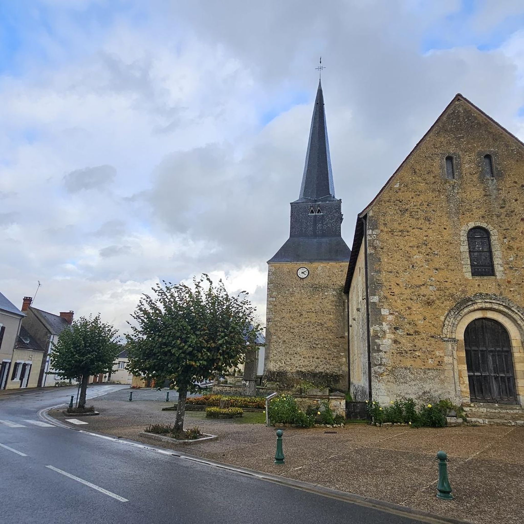
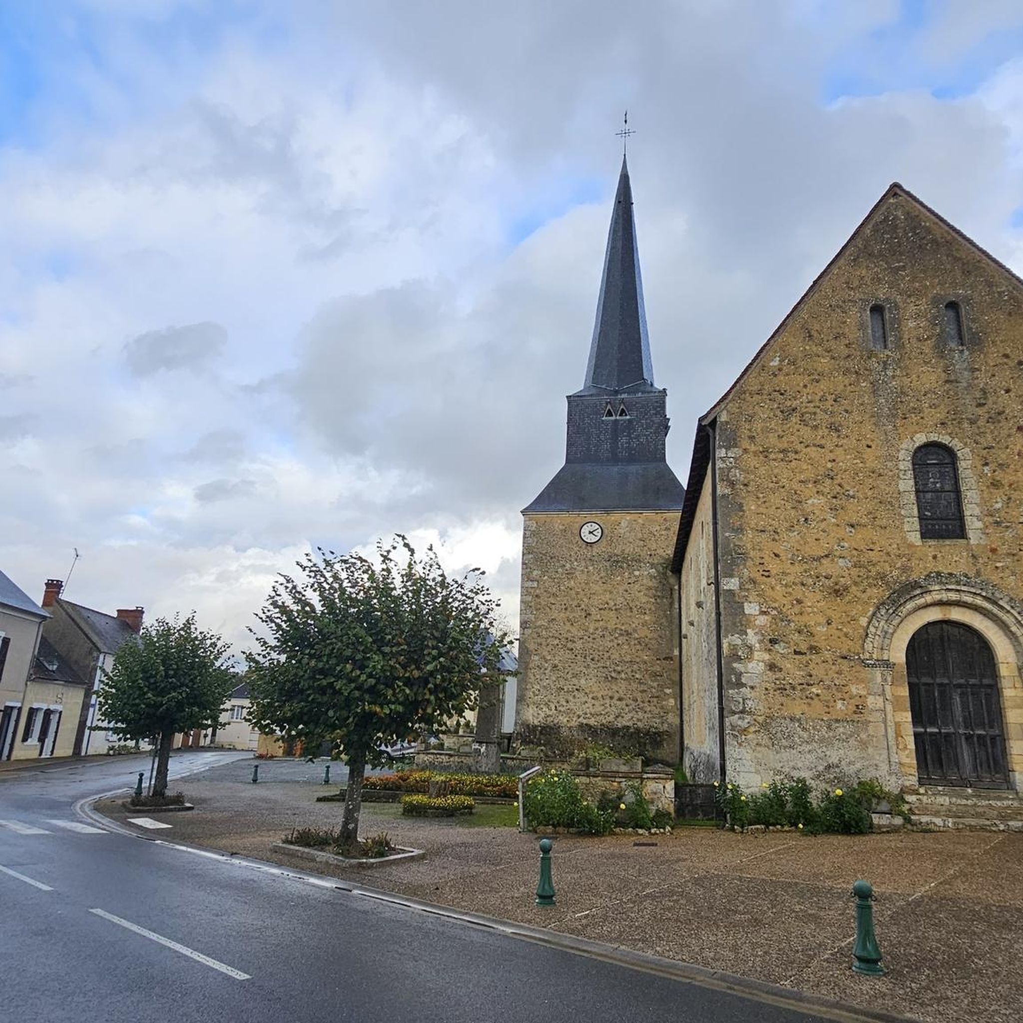
The castle of Montmirail is a striking example of the castles of the region. The good news is that you can stay there if you wish, as the castle is now open to the public as a hotel.
2
0
Frequently Asked Questions
How many hiking trails are available around Courgenard?
There are over 35 hiking trails around Courgenard, offering a variety of experiences. The region features a mix of easy strolls and moderate hikes, with 16 easy routes and 19 moderate routes to choose from.
Are there any easy, family-friendly hikes in Courgenard?
Yes, Courgenard offers several easy hikes suitable for families. An excellent option is the Media library – Lake view loop from Cherré-Au, an easy 6.6 km (4.1 miles) trail that takes about 1 hour 40 minutes to complete, featuring scenic lake views. Another easy choice is the Montmirail Castle loop from Montmirail, a 6.1 km (3.8 miles) route that can be finished in about 2 hours.
What kind of terrain can I expect on Courgenard hiking trails?
The terrain around Courgenard is characterized by rolling countryside, gentle hills, agricultural land, and woodlands. Elevation changes are generally mild, making many paths accessible. You'll also find routes with tranquil lake views and sections passing by historical sites.
Are there any circular walks available in Courgenard?
Yes, many of the trails around Courgenard are circular, allowing you to start and end at the same point. For example, the Lake view loop from Aire d'accueil des Gens du Voyage de La Ferté-Bernard is an easy 7.6 km (4.7 miles) circular route offering pleasant lake views.
What are some interesting landmarks or places to see along the hiking trails?
Courgenard's trails often pass by historical and cultural points of interest. You can explore the impressive Château de Montmirail, or discover historic religious buildings like the Saint-Denis Church of Cormes and the Saint Martin's Church. The Porte Saint Julien is another notable landmark in the vicinity.
What is the best time of year to go hiking in Courgenard?
The mild elevation changes and varied landscape of Courgenard make it suitable for hiking throughout much of the year. Spring and autumn offer pleasant temperatures and beautiful scenery with blooming flowers or vibrant foliage. Summer is also enjoyable, especially on shaded woodland paths, while winter hiking is possible on many trails, though conditions may vary.
What do other hikers enjoy most about the trails in Courgenard?
The hiking trails in Courgenard are highly rated by the komoot community, with an average score of 4.8 stars from over 20 reviews. Reviewers often praise the tranquil lake views, the well-maintained paths through woodlands and agricultural land, and the accessibility of routes for various fitness levels.
Are there any challenging hikes near Courgenard?
While Courgenard primarily offers easy to moderate trails, some routes provide a good workout with more significant elevation changes. The Montmirail Castle loop from Melleray is a moderate 9.9 km (6.1 miles) path with over 116 meters of ascent, navigating varied terrain including forest sections and open fields.
Where can I find parking for hiking trails in Courgenard?
Parking availability varies by trailhead. Many routes, especially those starting from villages or popular attractions like the Château de Montmirail, will have designated parking areas. It's advisable to check the specific route details on komoot for information on parking at the starting point of your chosen hike.
Are dogs allowed on the hiking trails in Courgenard?
Generally, dogs are welcome on hiking trails in the Courgenard region, especially in rural and woodland areas. However, it's always recommended to keep dogs on a leash, particularly when passing through agricultural land or near livestock, and to respect local regulations. Always carry bags to clean up after your pet.
What should I wear for hiking in Courgenard?
Given the varied terrain of woodlands, agricultural land, and gentle hills, comfortable walking shoes or light hiking boots are recommended. Dress in layers to adapt to changing weather conditions, and consider waterproof outerwear, especially during spring and autumn. Sun protection is advisable during warmer months.
Most popular attractions around Courgenard

Get inspired with the komoot mobile app


Explore more
Browse the best Hikes in other regions.
