The best mountain hikes around Sordevolo
4.5
(6)
50
hikers
4
hikes
Mountaineering routes around Sordevolo are situated at the foothills of the Piedmontese Alps, offering access to peaks like Monte Mucrone and Mombarone. The region is characterized by the Elvo Valley, shaped by glaciations and the Elvo torrent, featuring a network of streams and springs. This landscape provides diverse terrain for mountaineering, including challenging trails and aided paths like the Via Ferrata dell'Infernone.
Best mountaineering routes around Sordevolo
- The most popular mountaineering route is Monte Camino – Rifugio Rosazza loop from…
Last updated: November 4, 2026
4.0
(3)
16
hikers
13.6km
06:37
1,090m
1,090m
Hard mountaineering route. Very good fitness required. Sure-footedness, sturdy shoes and alpine experience required.
4.5
(2)
15
hikers
13.2km
06:30
1,090m
1,090m
Hard mountaineering route. Very good fitness required. Sure-footedness, sturdy shoes and alpine experience required.

12
hikers
11.7km
06:43
1,070m
1,070m
Hard mountaineering route. Very good fitness required. Sure-footedness, sturdy shoes and alpine experience required.
5.0
(1)
7
hikers
13.6km
07:28
1,280m
1,280m
Hard mountaineering route. Very good fitness required. Sure-footedness, sturdy shoes and alpine experience required.
Our route recommendations are based on thousands of hikes, rides, and runs completed by other people on komoot.
Start today with a free account
Your next adventure awaits.
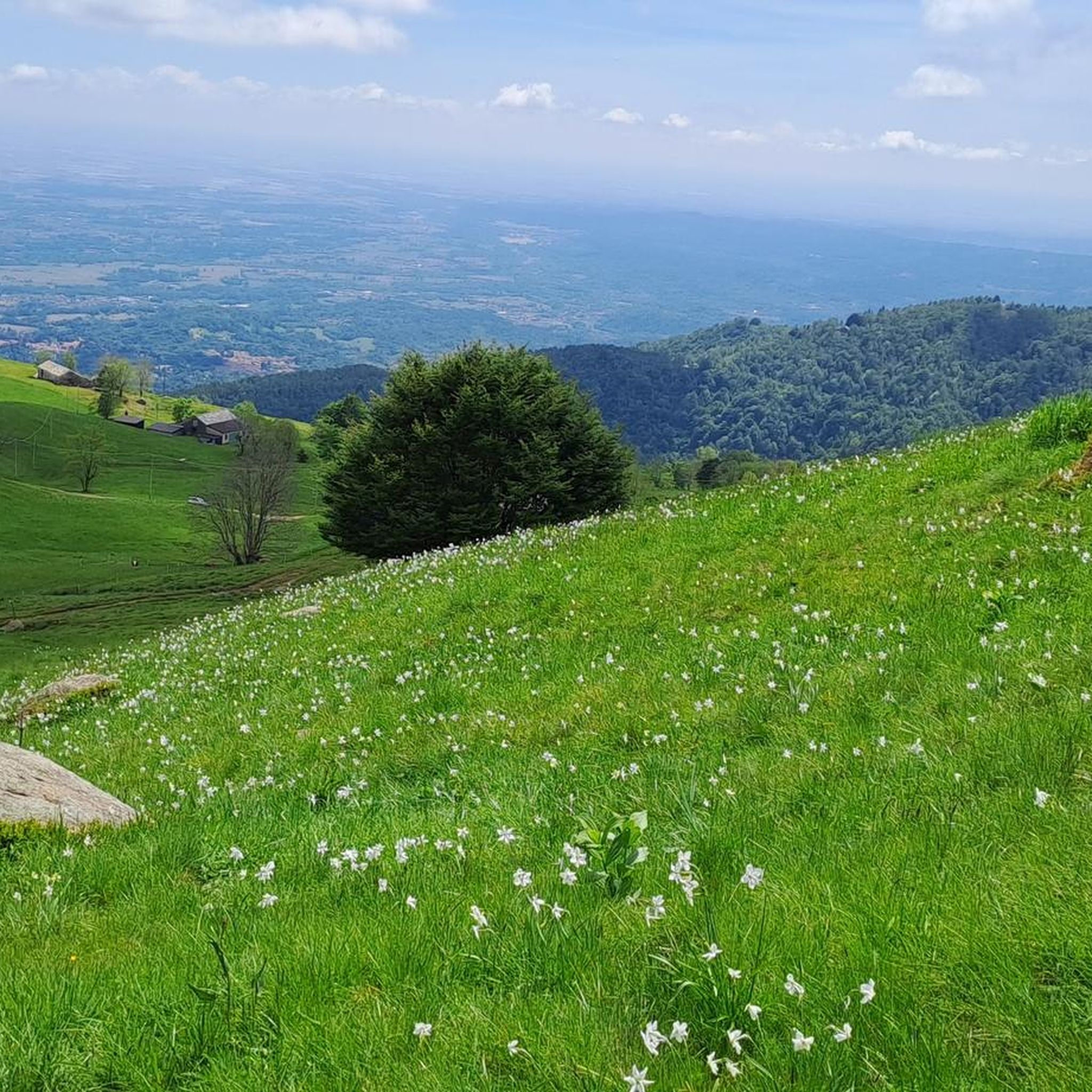
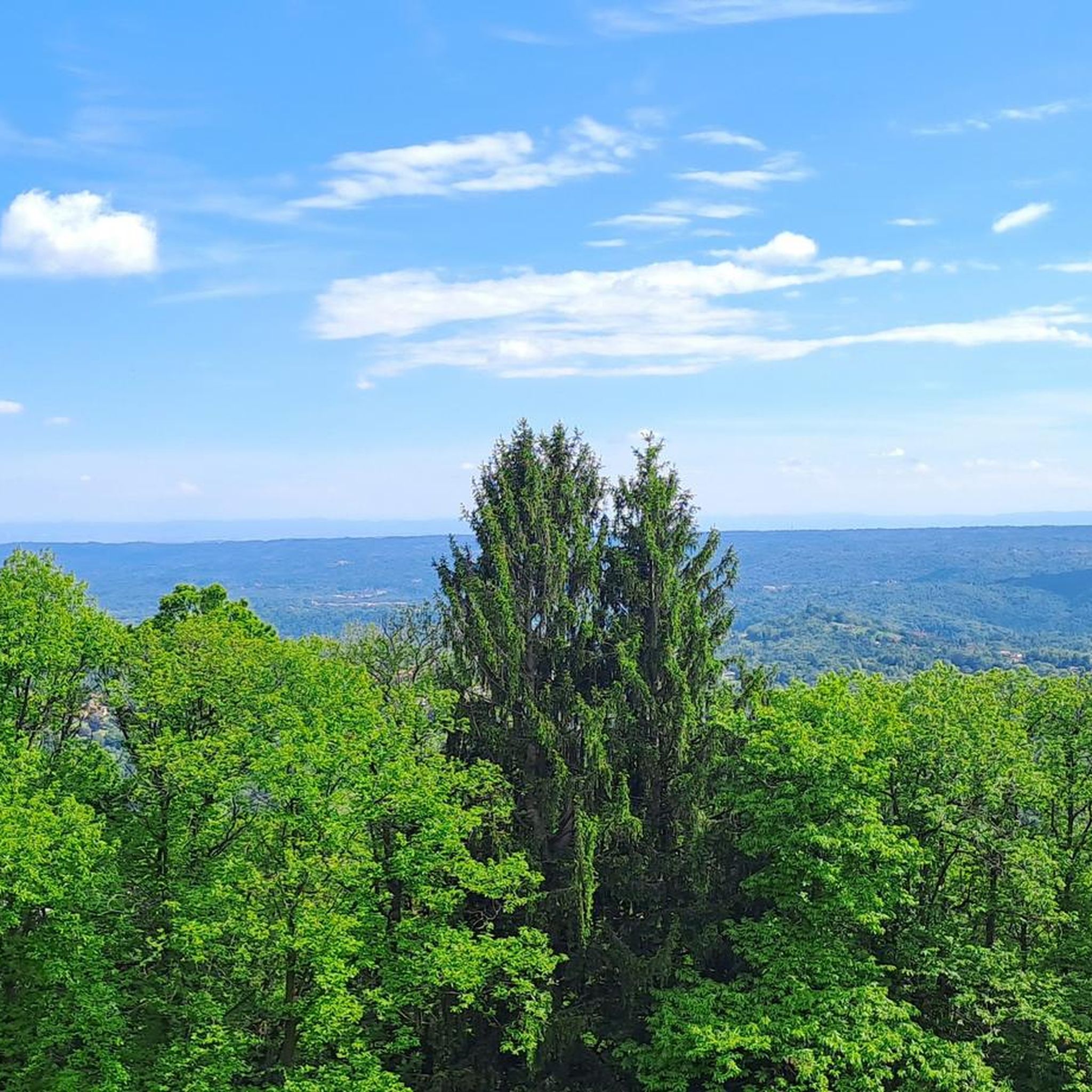
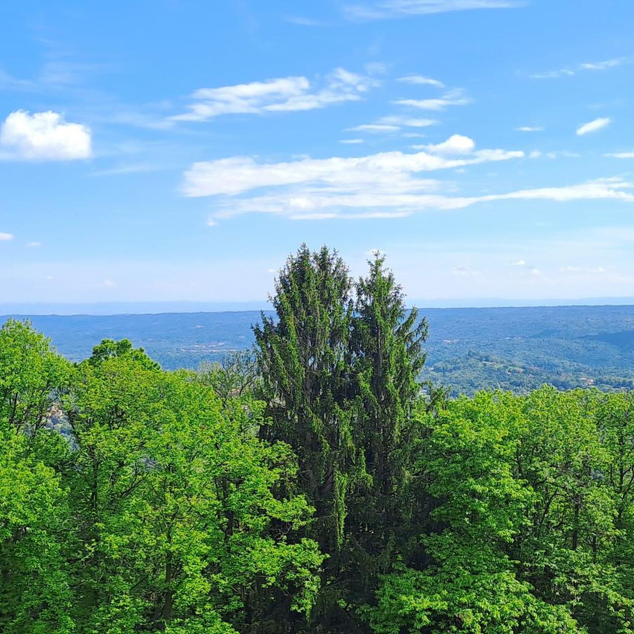
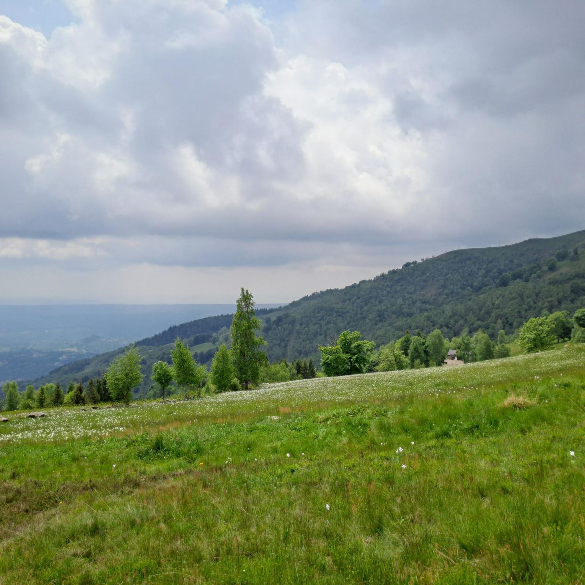

Tips from the Community


glacial lake that gives rise to the Oropa stream
0
0
built in 1936 and restored in 2006
0
0
arrival station and panoramic view of the Sanctuary
0
3
beautiful dirt road with dry stone walls and natural ground (without added gravel)
0
3
at the end of 2025 the dirt road track was improved and made passable by off-road vehicles and bikes, with the elimination and covering of the previous ford on the Oropa
0
0
it is located at Alpe Pissa
0
1

A few meters from Lake Mucrone, if you are looking for a place to fill your water bottle, the Fonte del Bersagliere is the ideal place, where the freshest spring water flows.
0
0
Frequently Asked Questions
What are the typical difficulty levels for mountaineering routes around Sordevolo?
The mountaineering routes in the Sordevolo area primarily cater to experienced individuals, with the majority (13 out of 14) rated as difficult. There is also one moderate route available. The region offers challenging terrain, including aided paths like the Via Ferrata dell'Infernone, and ascents to peaks such as Monte Mucrone and Monte Camino.
Are there any circular mountaineering routes available near Sordevolo?
Yes, several circular routes are available. For example, you can explore the area around Mucrone Lake on the Mucrone Lake loop from Oropa, a difficult 8.2-mile path. Another option is the Monte Camino – Rifugio Rosazza loop from Oropa, which is 8.4 miles long and offers extensive Alpine views.
How long do mountaineering routes in the Sordevolo area usually take?
The duration of routes varies depending on their length and difficulty. For instance, the Lago della Vecchia – Rifugio Lago della Vecchia loop from Piedicavallo, a moderate 6.9-mile trail, typically takes about 4 hours and 22 minutes. More challenging routes, like the Lago del Camino – Lago Barma superiore loop from Oropa (10 miles), can take over 7 hours to complete.
What natural features or landmarks can I expect to see on mountaineering routes near Sordevolo?
Mountaineering routes in this region offer stunning natural features. You can encounter glacial basins like Lake Mucrone, and enjoy panoramic views of the Pianura Padana plain and the Valle d'Aosta mountains from peaks such as Mount Mucrone and Mount Camino. The Oropa Valley, with its Special Nature Reserve, is rich in diverse flora. You might also pass by the unique 'lunar appearance' of the Bessa Gold Mining Archaeological Site, part of Europe's largest moraine.
Are there any notable points of interest or cultural sites accessible from the trails?
Yes, the Oropa Sanctuary, the largest Marian sanctuary in the Alps, is a significant cultural and spiritual hub from which many trails originate. You can also find the Bessa Gold Mining Archaeological Site, a unique natural monument with historical significance, within the broader region.
What is the best time of year for mountaineering in Sordevolo?
The Biellese Alps offer mountaineering opportunities across different seasons. While specific routes may vary, the warmer months are generally ideal for hiking and climbing. During winter, the region transforms, providing opportunities for ski touring, cross-country skiing, and snowshoeing, particularly around Oropa and Bocchetto Sessera Pass.
Is public transport available to reach mountaineering trailheads?
The Oropa Sanctuary serves as a central hub for many trails and is generally accessible by public transport, making it a convenient starting point for various mountaineering routes in the area.
Are there any huts or refuges along the mountaineering routes for overnight stays or refreshments?
Yes, the region has several huts and refuges. For example, the Lago della Vecchia Hut is located near the Lago della Vecchia – Rifugio Lago della Vecchia loop from Piedicavallo. Other options include Rifugio della Balma and Delfo and Agostino Coda Hut, which can provide rest and shelter during your mountaineering adventures.
What do other mountaineers enjoy the most about mountaineering in Sordevolo?
The area is highly rated by the komoot community, with an average score of 4.7 stars. Reviewers often praise the extensive Alpine views, the diverse terrain of the Piedmontese Alps, and the well-maintained network of trails that cater to various levels of challenge.
Are there opportunities for climbing or via ferrata in the Sordevolo area?
Yes, the Special Nature Reserve of Oropa offers various climbing activities. There are approximately a dozen climbing routes on Mount Camino, Mount Mucrone, and Mount Rosso, suitable for different skill levels. The Via Ferrata del Limbo is a popular equipped route involving a 300-meter ascent with fixtures, steps, and aerial crossings.
Most popular routes around Sordevolo
Most popular attractions around Sordevolo

Get inspired with the komoot mobile app


Explore more
Browse the best Mountain Hikes & Routes in other regions.
