The best mountain hikes around San Romano In Garfagnana
5.0
(4)
57
hikers
5
hikes
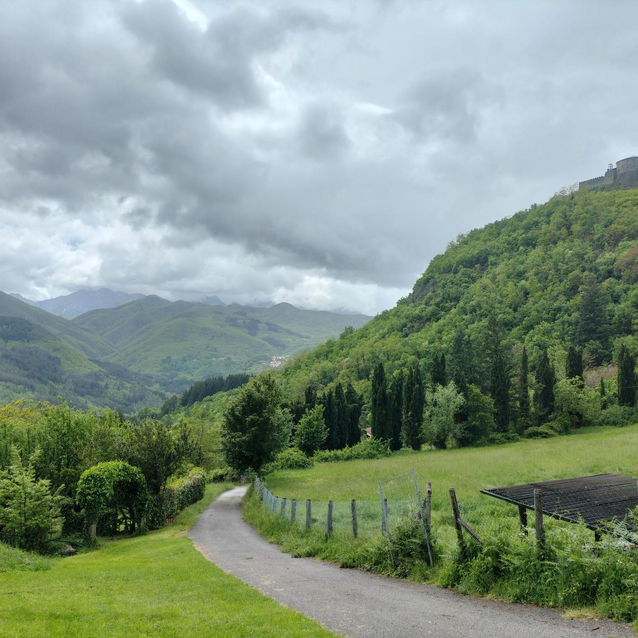
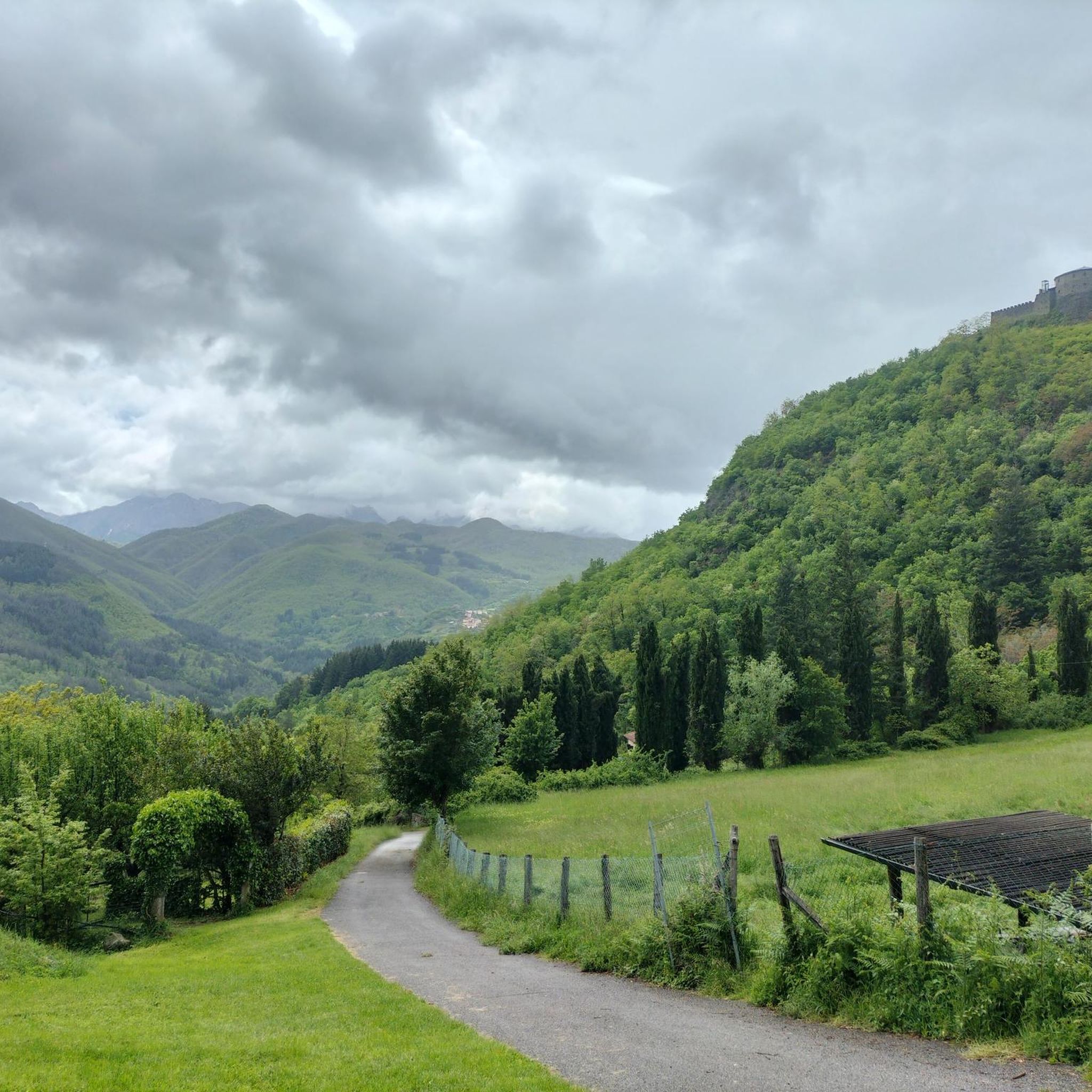
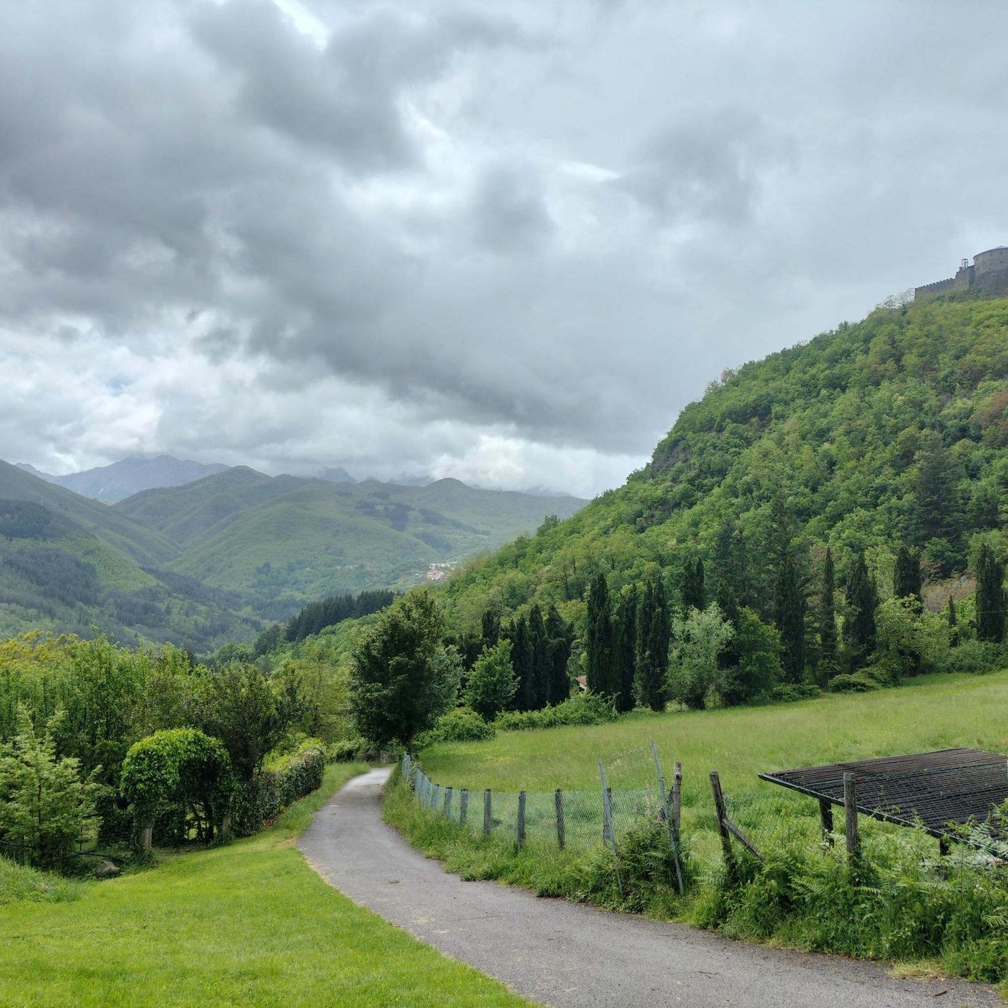
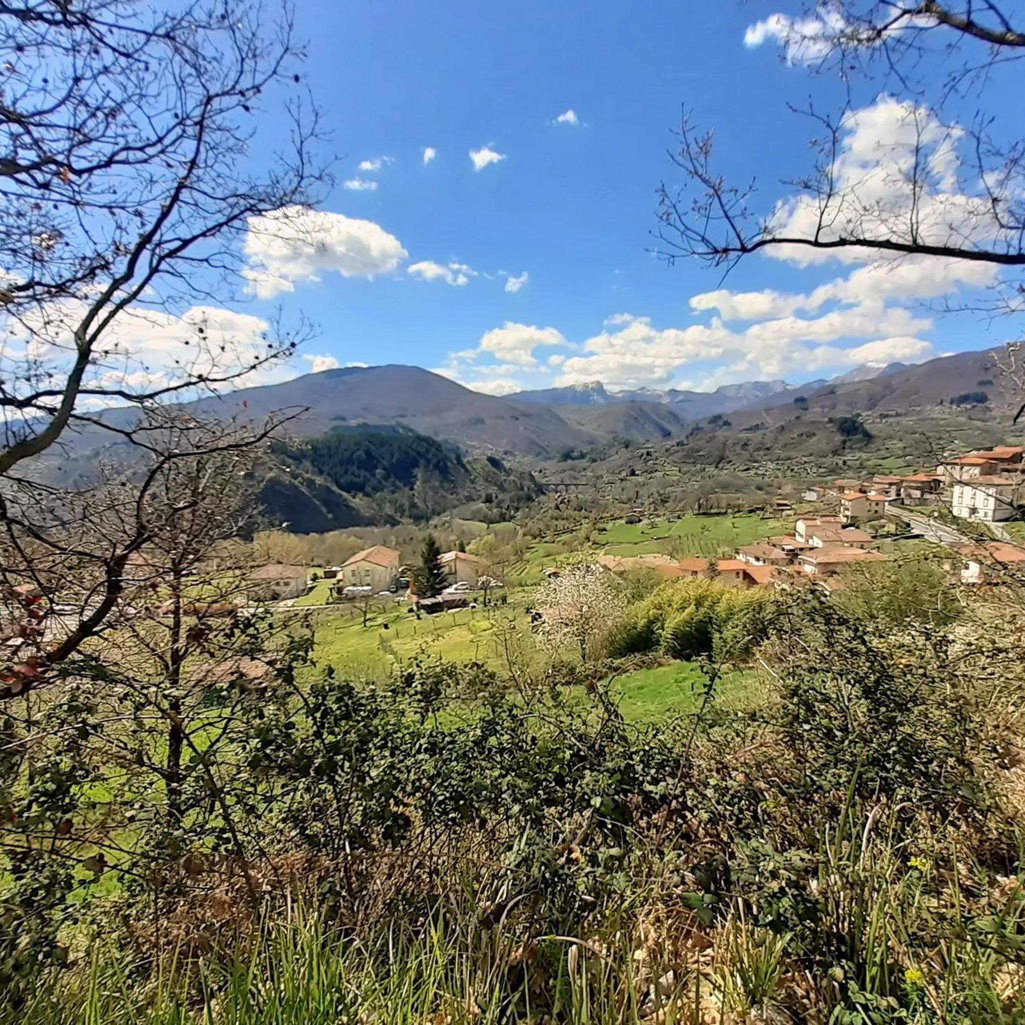
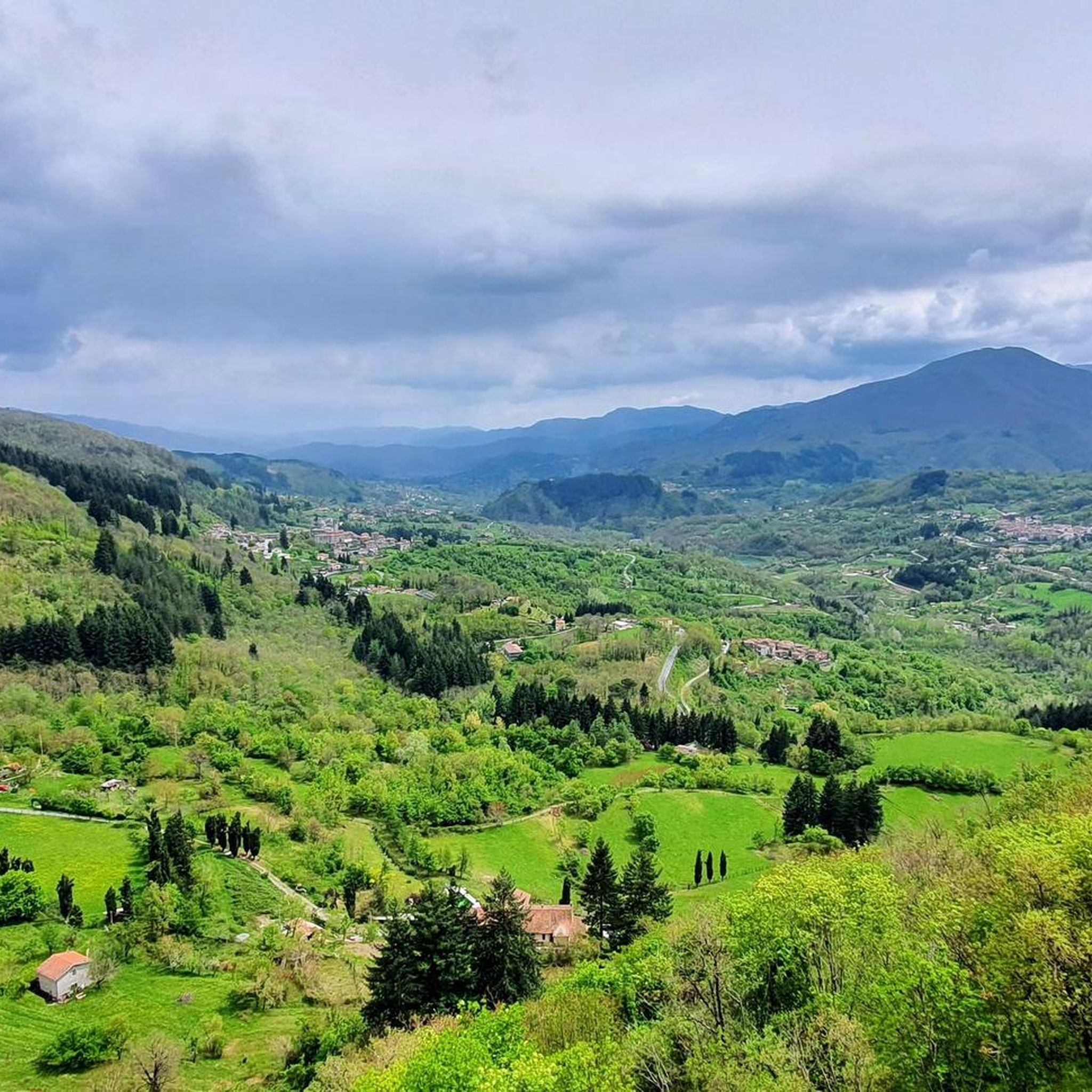
Mountaineering routes around San Romano In Garfagnana traverse a landscape characterized by the rugged, marble peaks of the Apuan Alps and the lush beech woods of the Tuscan Apennines. The region features dramatic mountainous terrain, rocky formations, and diverse ecosystems, with the Serchio River winding through the valley. This blend of natural features provides a challenging environment for mountaineering enthusiasts.
Best mountaineering routes around San Romano In Garfagnana
- The most popular mountaineering route is Monte Penna Via Ferrata loop from…
Last updated: May 23, 2026
5.0
(4)
31
hikers
6.49km
03:30
540m
540m
Hard mountaineering route. Good fitness required. Sure-footedness, sturdy shoes and alpine experience required.
6
hikers
12.8km
04:54
740m
750m
Moderate mountaineering route. Good fitness required. Mostly accessible paths. Sure-footedness required.

Sign up for free
8
hikers
11.8km
04:32
660m
650m
Hard mountaineering route. Good fitness required. Sure-footedness, sturdy shoes and alpine experience required.
6
hikers
12.5km
05:50
890m
900m
Hard mountaineering route. Very good fitness required. Sure-footedness, sturdy shoes and alpine experience required.
6
hikers
13.9km
06:05
920m
920m
Hard mountaineering route. Very good fitness required. Sure-footedness, sturdy shoes and alpine experience required.
Our route recommendations are based on thousands of hikes, rides, and runs completed by other people on komoot.
Start today with a free account
Your next adventure awaits.
Login or Signup
Popular around San Romano In Garfagnana

Tips from the Community

Easy to reach and convenient for starting your walk.
0
0
From the outside, it's a beautiful refuge. We couldn't see the inside because it was closed. It's easily accessible by parking in Case di Civago.
0
0
Large stone fountain with significant water flow (at least in January)
0
0

The weather conditions made the tour extremely challenging: strong winds, thick fog with barely ten meters of visibility, and temperatures sometimes below freezing, making the ground slippery and difficult to navigate. Despite the adverse conditions, the summit of Monte Cusna offered an impressive atmosphere – mysterious, rugged, and wild.
35
0
Monte Cusna (2120 m) – Ascent from Sasso del Morto Monte Cusna, also called "Il Gigante," is the second-highest peak in the Reggio Emilia Apennines at 2120 m. The starting point was the striking Sasso del Morto rock (2078 m), from which two ascent options lead to the summit: Easy route: A gentler ascent along the ridge, not technically demanding but very exposed in windy conditions. Difficult route: A steep, rocky ascent directly along the ridge, significantly more challenging, requiring surefootedness and concentration.
38
0

panoramic point
0
0

Beautiful panoramic viewpoint with the unique 'ringing' cross
0
0

Frequently Asked Questions
What is the general difficulty level of mountaineering routes around San Romano in Garfagnana?
The mountaineering routes around San Romano in Garfagnana are primarily challenging, with 6 out of 7 routes rated as 'difficult'. These routes are best suited for experienced mountaineers seeking demanding ascents within the rugged Apuan Alps and Tuscan Apennines. There is one 'moderate' route available for those looking for a slightly less strenuous option.
Are there any family-friendly mountaineering options in the San Romano in Garfagnana area?
While most mountaineering routes in the immediate vicinity of San Romano in Garfagnana are rated as 'difficult', the broader Garfagnana region offers a variety of outdoor activities suitable for families. For adventure and fun, consider visiting the Selva del Buffardello Adventure Park, which has routes through trees with varying difficulty levels. For gentler walks, the Orecchiella Park features extensive green areas and a mountain garden, ideal for nature lovers and families.
Can I bring my dog on the mountaineering trails in Garfagnana?
The Garfagnana region, with its diverse natural landscapes, generally welcomes dogs on trails. However, it's always best to check specific park regulations, especially within protected areas like Orecchiella Park or the Apennino Tosco Emiliano National Park, where some restrictions might apply. Always keep your dog on a leash and ensure they are well-behaved and capable of handling the terrain.
Are there any circular mountaineering routes available?
Yes, several mountaineering routes around San Romano in Garfagnana are circular, offering a complete loop experience. Notable examples include the challenging Monte Penna Via Ferrata loop from Civago, the extensive San Leonardo al Dolo Refuge loop from Civago, and the scenic Monte Sumbra – Maestà del Tribbio loop from Vianova. These loops allow you to start and end at the same point, often providing varied scenery along the way.
What kind of scenic viewpoints can I expect on these mountaineering trails?
The mountaineering trails in this region offer breathtaking scenic viewpoints. You'll encounter dramatic vistas of the marble peaks of the Apuan Alps, often referred to as the 'Garden of Tuscany,' and the lush beech woods of the Tuscan Apennines. Routes like the Monte Tambura Summit loop from Vagli Sopra provide expansive views of the surrounding Garfagnana region, including the enchanting Lake Vagli and the natural arc of Monte Forato.
What is the best time of year for mountaineering around San Romano in Garfagnana?
The best time for mountaineering in the Garfagnana region is generally from late spring to early autumn (May to October), when the weather is more stable and trails are clear of snow. During these months, you can fully appreciate the diverse ecosystems and dramatic landscapes. Winter mountaineering is possible but requires specialized equipment and experience due to snow and ice conditions, especially in higher elevations of the Apuan Alps.
Are there any interesting landmarks or natural features to see along the routes?
Absolutely! The region is rich in both natural beauty and historical landmarks. You can explore the striking marble formations of the Apuan Alps and the lush forests of the Tuscan Apennines. The Monte Prado – Cima dell'Angelo loop from Febbio, for instance, takes you through high mountain terrain. Nearby, you can find highlights such as the Lama Lite Pass or the historic settlement of San Pellegrino in Alpe. The imposing Verrucole Fortress, a medieval castle, also offers spectacular views of the surrounding landscape.
What do other mountaineers enjoy most about the routes in San Romano in Garfagnana?
The mountaineering routes around San Romano in Garfagnana are highly rated by the komoot community, with an average score of 5.0 stars. Mountaineers often praise the challenging nature of the trails, the breathtaking views of the Apuan Alps, and the sense of accomplishment gained from tackling these demanding ascents. The diverse terrain, from rocky formations to lush woods, also contributes to a rewarding experience.
How many mountaineering routes are available in the San Romano in Garfagnana area?
There are 7 mountaineering routes detailed for the San Romano in Garfagnana area. These routes offer a range of challenging experiences, primarily catering to experienced mountaineers.
Is public transport available to reach the starting points of mountaineering trails?
While San Romano in Garfagnana is accessible, reaching the specific starting points for some mountaineering trails, especially those in more remote mountain areas, might require private transport. Public transport options within the Garfagnana region can be limited, so planning your journey in advance and checking local bus schedules is advisable. Many routes start from small villages like Civago or Vianova, which may have less frequent public transport connections.
Are there places to eat or stay near the mountaineering trails?
San Romano in Garfagnana and the surrounding villages offer various options for accommodation and dining. You'll find local trattorias and cafes where you can refuel after your mountaineering adventures. For example, the San Leonardo al Dolo Refuge loop from Civago leads to a refuge, which often provides basic accommodation and food services. It's always a good idea to check opening times and make reservations, especially during peak season.
Are there any wild swimming spots after a hike in the Garfagnana region?
The Serchio River meanders through the Garfagnana valley, and its tributaries, like the Lima Creek, offer opportunities for water activities. While specific designated wild swimming spots might not be explicitly marked for mountaineers, the region's rivers and streams provide refreshing natural pools. Always exercise caution, check water conditions, and respect local regulations if you plan to swim in natural bodies of water.
Most popular routes around San Romano In Garfagnana
Most popular attractions around San Romano In Garfagnana

Get inspired with the komoot mobile app


Explore more
Browse the best Mountain Hikes & Routes in other regions.
