The best MTB trails around Fallo
5.0
(2)
43
riders
8
rides
Mountain biking around Fallo, Italy, features a landscape characterized by rolling hills and significant elevation changes, with routes often traversing through forested areas and offering views of local landmarks. The region's terrain includes a mix of natural paths and established tracks, suitable for experienced mountain bikers seeking challenging ascents and descents. The area around Fallo provides a varied environment for mountain biking, with routes that explore both natural features and historical points of interest.
Best mountain bike trails around Fallo
…Last updated: October 9, 2026
7
riders
48.7km
03:37
990m
990m
Hard mountain bike ride. Very good fitness required. Suitable for all skill levels.
5.0
(1)
5
riders
33.4km
02:30
770m
770m
Moderate mountain bike ride. Good fitness required. Suitable for all skill levels.

5.0
(1)
4
riders
Hard mountain bike ride. Very good fitness required. Suitable for all skill levels.
6
riders
38.7km
04:10
1,380m
1,380m
Hard mountain bike ride. Very good fitness required. Advanced riding skills necessary.
3
riders
Moderate mountain bike ride. Good fitness required. Advanced riding skills necessary.
Get access to more routes and recommendations from other explorers.
Already have an account?
Our route recommendations are based on thousands of hikes, rides, and runs completed by other people on komoot.
Start today with a free account
Your next adventure awaits.
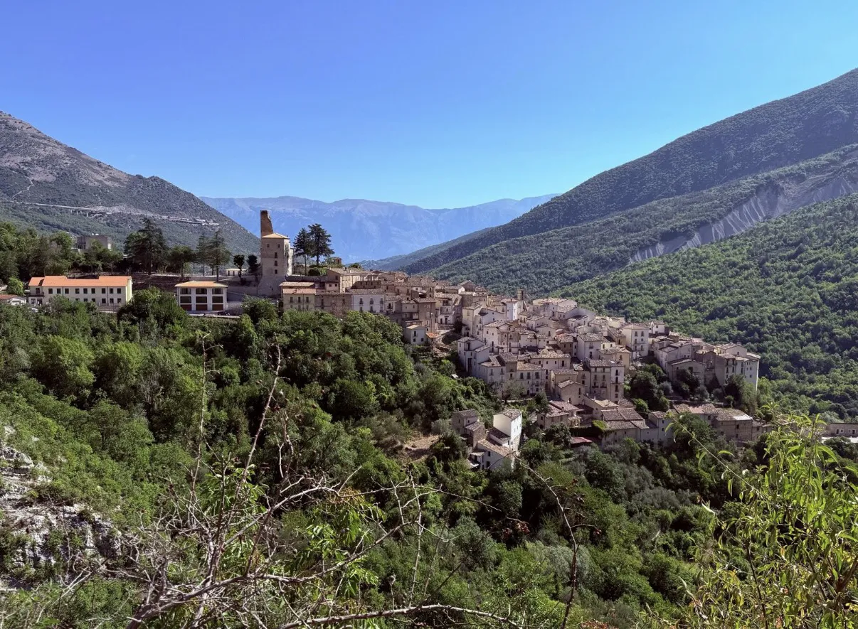

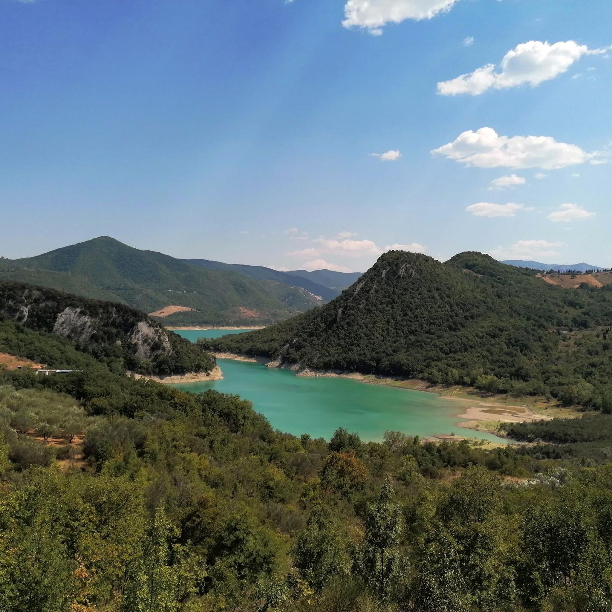
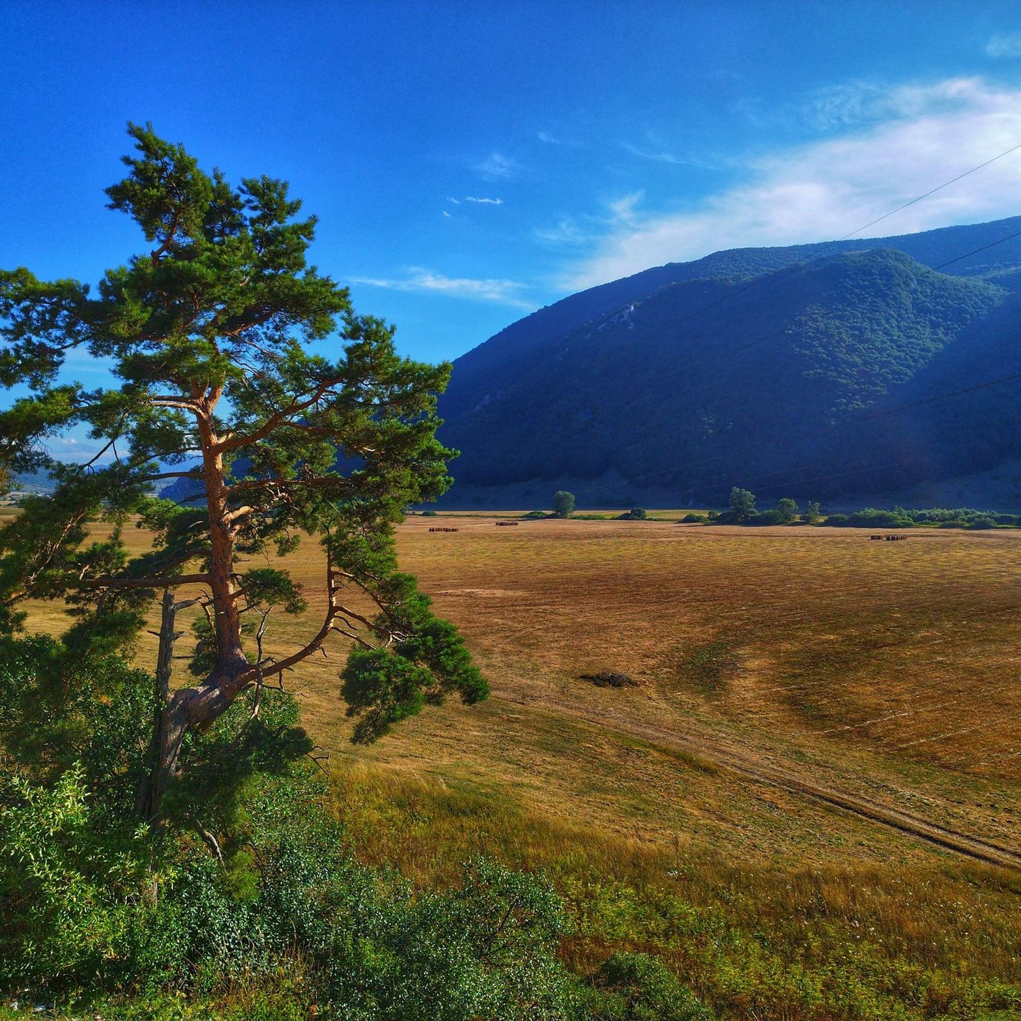
Other adventures around Fallo

Tips from the Community


The Gamberale Viewpoint is a breathtaking natural terrace located at the highest point of the village, offering an extraordinary view spanning the Sangro Valley and the rugged peaks of the Majella and neighboring Molise. This panoramic vantage point, suspended between sky and rock, allows you to take in a vast horizon of dense forests and small hilltop villages, offering a sense of absolute peace and a privileged perspective on the wild heart of the Apennines.
0
0

Lake Boma is an artificial lake, 262m high, 7km long, and with a maximum depth of approx. 57 meters. This lake was built by ACEA in 1950, to feed a power plant.
1
0
The fortress of Castelfraiano, which gives its name to Monte Castelfraiano, had the function of being a supervisory point for transhumance and regulating access from Monteferrante and the Val di Sangro.
1
0

In addition to numerous small frogs and fish, this small water snake also lives in the Gola and presumably feeds on the former. Now, at the beginning of October, the waterfall is more of a small trickle. To do this, it can be easily reached from the parking lot at the entrance to the gorge after a few minutes of walking over round stones and mini climbing inserts over two slightly larger rocks with dry feet. Sturdy footwear is still advisable and, especially in bad weather, you should take the notice at the entrance to the gorge that you should only enter it with a helmet because of the risk of falling rocks.
0
0
Frequently Asked Questions
How many mountain bike trails are available around Fallo?
There are 5 mountain bike trails around Fallo listed on komoot, offering a variety of experiences for riders. The region's terrain is characterized by rolling hills and significant elevation changes.
What is the general difficulty level of mountain bike trails in Fallo?
The mountain bike trails around Fallo are predominantly challenging. Out of the 5 routes, 3 are rated as difficult, 1 is moderate, and 1 is easy. This makes the area particularly suitable for experienced mountain bikers seeking significant ascents and descents.
Are there any easy mountain bike trails for beginners or families in Fallo?
While most trails are challenging, there is one easy mountain bike route available: the View of Gamberale loop from Gamberale. This route is 6.8 km long and takes approximately 43 minutes to complete, offering a less strenuous option.
What kind of terrain can I expect on mountain bike trails in Fallo?
The terrain around Fallo features a mix of natural paths and established tracks, often traversing through forested areas. You can expect rolling hills and significant elevation changes, with routes passing by rock formations and historical structures.
Are there any notable landmarks or viewpoints along the mountain bike trails?
Yes, several routes incorporate interesting features. For instance, the Monument to Silvio Spaventa – Megalithic Walls loop from Bomba includes historical elements like Megalithic Walls. Another route, the Pizzoferrato Rock Formation – Belvedere of Gamberale loop from Pizzoferrato, leads to a notable rock formation and a scenic belvedere.
What attractions can I explore near the mountain bike trails in Fallo?
Beyond the trails, you can find several interesting attractions. These include the Prato Gentile Hut, the Waterfall in Gola di Pennadomo, and the View of the Pescopennataro Crags. There's also the Iuvanum Archaeological Park for those interested in historical sites.
Are there any routes that offer panoramic views?
Yes, the Prato Gentile Arch Bridge – Corso Capracotta loop from Roio del Sangro is a difficult route that includes an arch bridge and offers panoramic views over the surrounding landscape. The Pizzoferrato Rock Formation – Belvedere of Gamberale loop from Pizzoferrato also features a scenic belvedere.
What do other mountain bikers say about the trails in Fallo?
The routes in Fallo are highly rated by the komoot community. Over 20 mountain bikers have used komoot to explore Fallo's varied terrain, indicating a positive experience with the area's challenging and scenic routes.
Are there any circular mountain bike routes in Fallo?
All the mountain bike routes listed for Fallo are circular loops. Examples include the Monument to Silvio Spaventa – Megalithic Walls loop from Bomba and the Bosco di Monte Fischietto loop from Montazzoli, allowing you to start and finish at the same point.
What is the longest mountain bike trail in Fallo?
The longest mountain bike trail in Fallo is the Monument to Silvio Spaventa – Megalithic Walls loop from Bomba, which spans 49.9 km (31.0 miles) and is rated as difficult. It typically takes about 3 hours and 41 minutes to complete.
Are there any waterfalls accessible near the mountain bike trails?
Yes, the Waterfall in Gola di Pennadomo is a natural attraction located near the mountain biking area, offering a scenic stop or detour.
Most popular attractions around Fallo

Get inspired with the komoot mobile app


Explore more
Browse the best MTB trails in other regions.
