The best running trails in Ancares
56
runners
4
runs
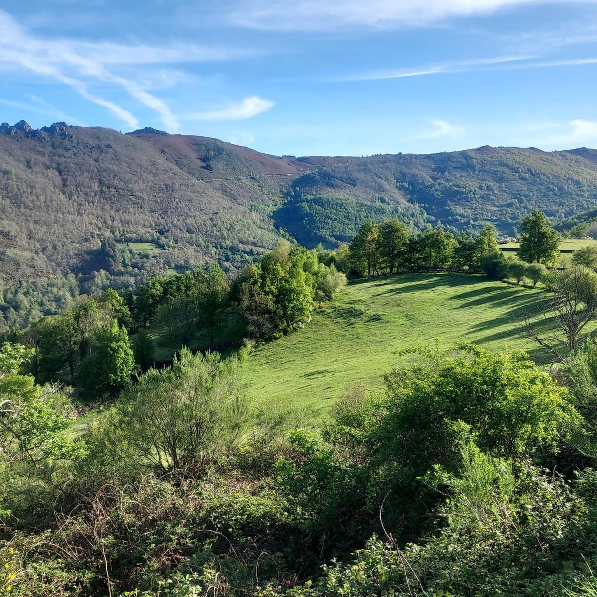
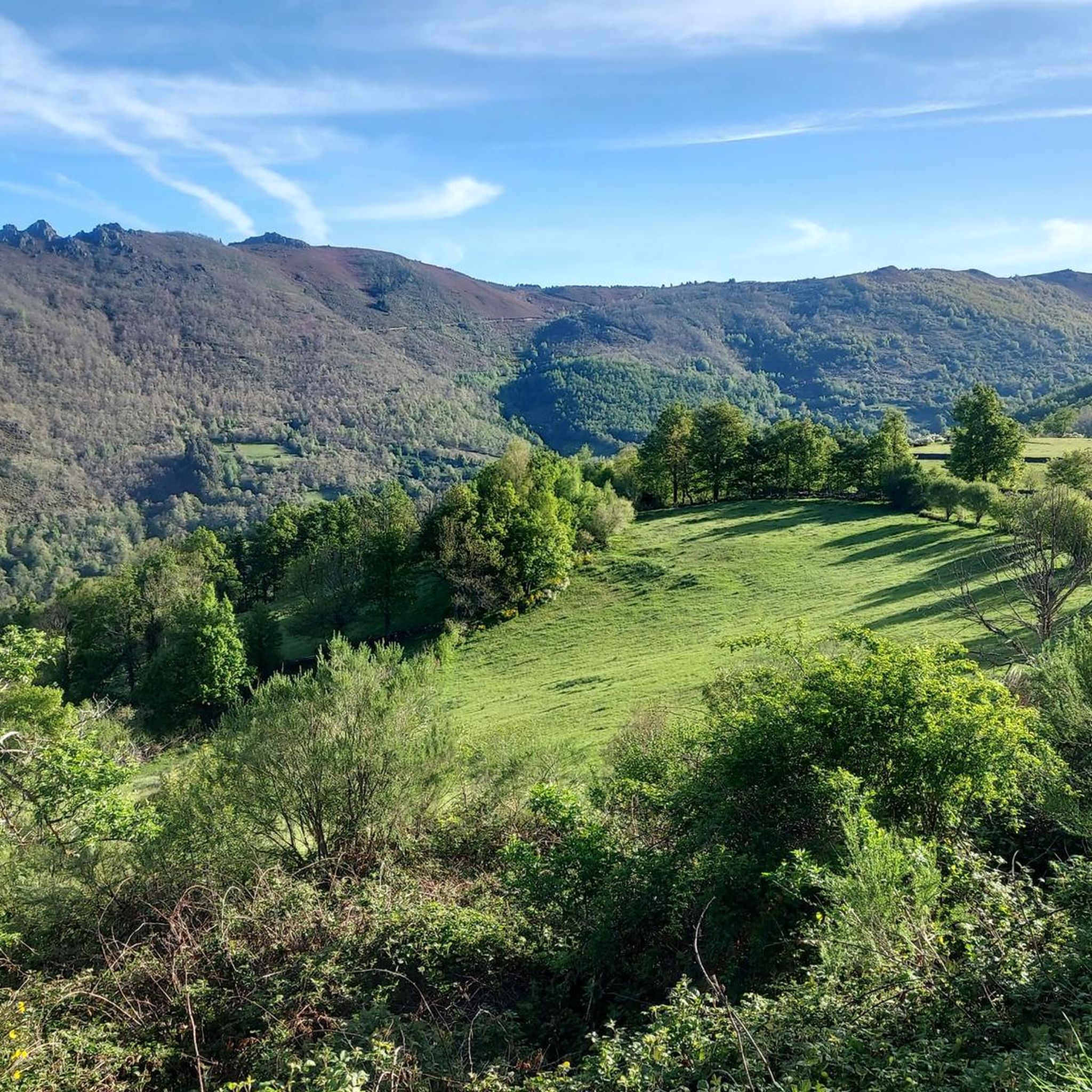
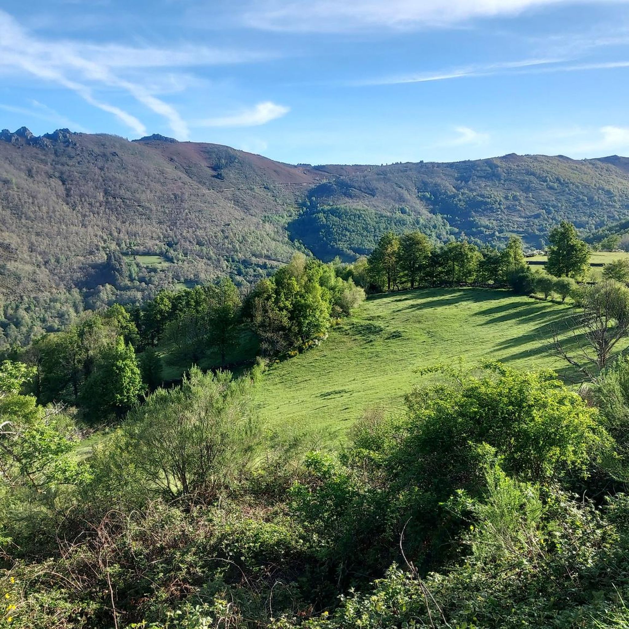
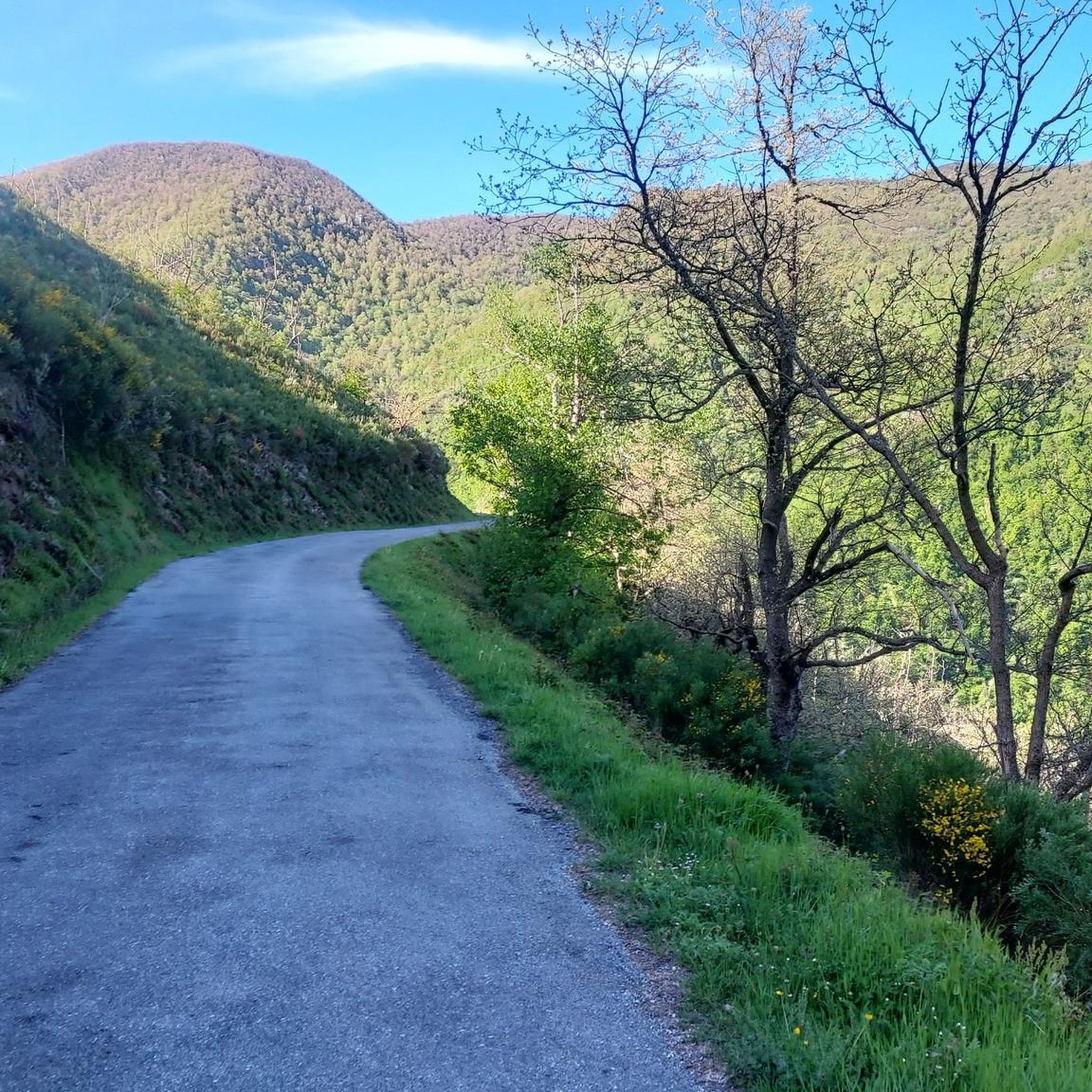
Jogging in Ancares offers a challenging experience within a UNESCO Biosphere Reserve, characterized by its rugged, well-preserved natural environment. The region features prominent peaks, deep river valleys, and extensive woodlands of chestnut, oak, and beech. Joggers can navigate steep slopes and varied terrain, from high mountain passes to shaded forest trails. This diverse landscape provides a rich backdrop for running, with routes often traversing ancient forests and offering panoramic views.
Best jogging routes in Ancares
- The most popular jogging route…
Last updated: October 10, 2026
5
runners
19.0km
02:36
780m
780m
The Pico dos Tres Bispos Loop is a difficult 11.8-mile jogging route in Serra dos Ancares, offering panoramic mountain views from its summit
11
runners
12.7km
02:10
870m
870m
Hard run. Very good fitness required. Mostly paved surfaces. Suitable for all skill levels.

8
runners
14.3km
01:45
440m
440m
Hard run. Very good fitness required. Mostly paved surfaces. Suitable for all skill levels.
7
runners
6.80km
01:08
400m
400m
Hard run. Very good fitness required. Mostly paved surfaces. Suitable for all skill levels.
25
runners
21.8km
03:22
1,130m
1,130m
Hard run. Very good fitness required. Mostly paved surfaces. Suitable for all skill levels.
Our route recommendations are based on thousands of hikes, rides, and runs completed by other people on komoot.
Tips from the Community

Cecos is another charming Asturian village in the Fuentes del Narcea Natural Park. Its stone houses and medieval bridge are well preserved. It also has a bar, perfect for a stopover along the route.
0
0

The hostel is abandoned but it is a good place to park.
0
0
Open shelter in good condition. It has a fireplace and 2 bunk beds.
0
0

An incredible high mountain gravel route through the Sierra de Los Ancares passing the Campa de Tres Bispos before descending into the valley below. The views are spectacular.
1
0
Piornedo is a magical mountain town with unique traditional houses. Well worth the visit to see the heritage and history of mountain life.
2
0

Rolling around Cecos, on the border with Degaña, the parish of Cecos is a transit area for the beautiful climb up to Pelliceira.
1
0

Free refuge located between the peaks of Tres Bispos and Penarrubia. Its doors are always open. The space has bunk beds, a fireplace and other elements for cooking.
5
0
Accommodation to sleep in the heart of the Os Ancares Natural Park.
1
0
Frequently Asked Questions
What kind of terrain can I expect on running routes in Ancares?
Ancares offers a diverse range of terrain for runners. You'll encounter steep slopes, deep river valleys, and prominent peaks reaching nearly 2,000 meters. Trails often wind through ancient forests of chestnut, oak, and beech, as well as extensive heathlands and meadows. Some routes may also feature more technical sections with significant elevation gains.
Are there any easy jogging routes suitable for beginners in Ancares?
The running routes highlighted in this guide are generally considered difficult due to the mountainous terrain and significant elevation changes. For example, the Brañutín – Cuíña loop from Puerto de Ancares is the shortest at around 6.8 km, but still involves over 400 meters of ascent. Runners should be prepared for challenging conditions.
What are some notable natural features or landmarks I can see while jogging in Ancares?
Ancares is rich in natural beauty. You can run past impressive peaks like Pico dos Tres Bispos and Pico Mostallar, which offer panoramic views. The region is also known for its ancient woodlands, deep river valleys, and natural attractions such as the Cantejeira Waterfall and Seimeira de Murias Waterfall, though specific routes to these may vary.
Are there any circular running routes available in Ancares?
Yes, many of the running paths in Ancares are designed as loops, allowing you to start and finish at the same point. For instance, the challenging Pico dos Tres Bispos Loop covers nearly 19 km, while the Mustallar – Pico Mostallar loop from ZEPA Ancares is a 12.7 km option through mountainous terrain.
What is the best time of year to go running in Ancares?
The best time for outdoor activities like running in Ancares is typically during spring, summer, and early autumn. These seasons offer more stable weather conditions, milder temperatures, and full access to higher mountain trails. Winter can bring snow and ice, making many routes more challenging or inaccessible.
Are there any running routes that pass through traditional villages or cultural sites?
While the focus is on natural landscapes, Ancares preserves its unique ethnographic heritage. Some longer routes might pass near traditional 'pallozas'—circular stone huts with thatched roofs—which offer a glimpse into ancient ways of life. The region also has remnants of Roman roads that can be explored.
How long do the running trails in Ancares typically take to complete?
The duration of running trails in Ancares varies significantly based on distance, elevation, and your pace. For example, the Ancares Mountains – Pico dos Tres Bispos loop from A Campa de Fieiró, at over 14 km with significant ascent, might take around 1 hour 45 minutes for a fit runner. Longer routes like the Cecos Village – Cecos loop from San Antolín de Ibias, which is over 21 km, could take over 3 hours.
Are there options for parking near the trailheads in Ancares?
Given the mountainous and rural nature of Ancares, parking availability can vary. Many trailheads, especially those starting from smaller villages or mountain passes like Puerto de Ancares, typically have designated or informal parking areas. It's advisable to check specific route details or local information for precise parking locations before you go.
What kind of wildlife might I encounter while running in Ancares?
As a UNESCO Biosphere Reserve, Ancares is home to rich biodiversity. While running, you might spot various birds of prey, deer, or wild boars. The region also provides habitats for endangered species like the brown bear and capercaillie, though sightings of these are rare.
What should I wear for jogging in the Ancares mountains?
Given the mountainous terrain and potential for changeable weather, it's recommended to wear appropriate trail running shoes with good grip. Layered clothing is advisable, including a waterproof and windproof jacket, even in warmer months. Always carry sufficient water, snacks, and navigation tools, as some areas can be remote.
Are there any running routes in Ancares that feature waterfalls?
While specific routes in this guide may not directly highlight waterfalls, the Ancares region is known for its picturesque river valleys and natural attractions like the Cantejeira Waterfall and Seimeira de Murias Waterfall. Exploring trails along rivers like the Ancares, Burbia, or Cúa might lead you to these beautiful natural features.
Most popular attractions in Ancares

Get inspired with the komoot mobile app


Explore more
Browse the best Running Trails & Routes in other regions.
