The best mountain hikes around Montagny-près-Yverdon
5.0
(2)
8
hikers
4
hikes
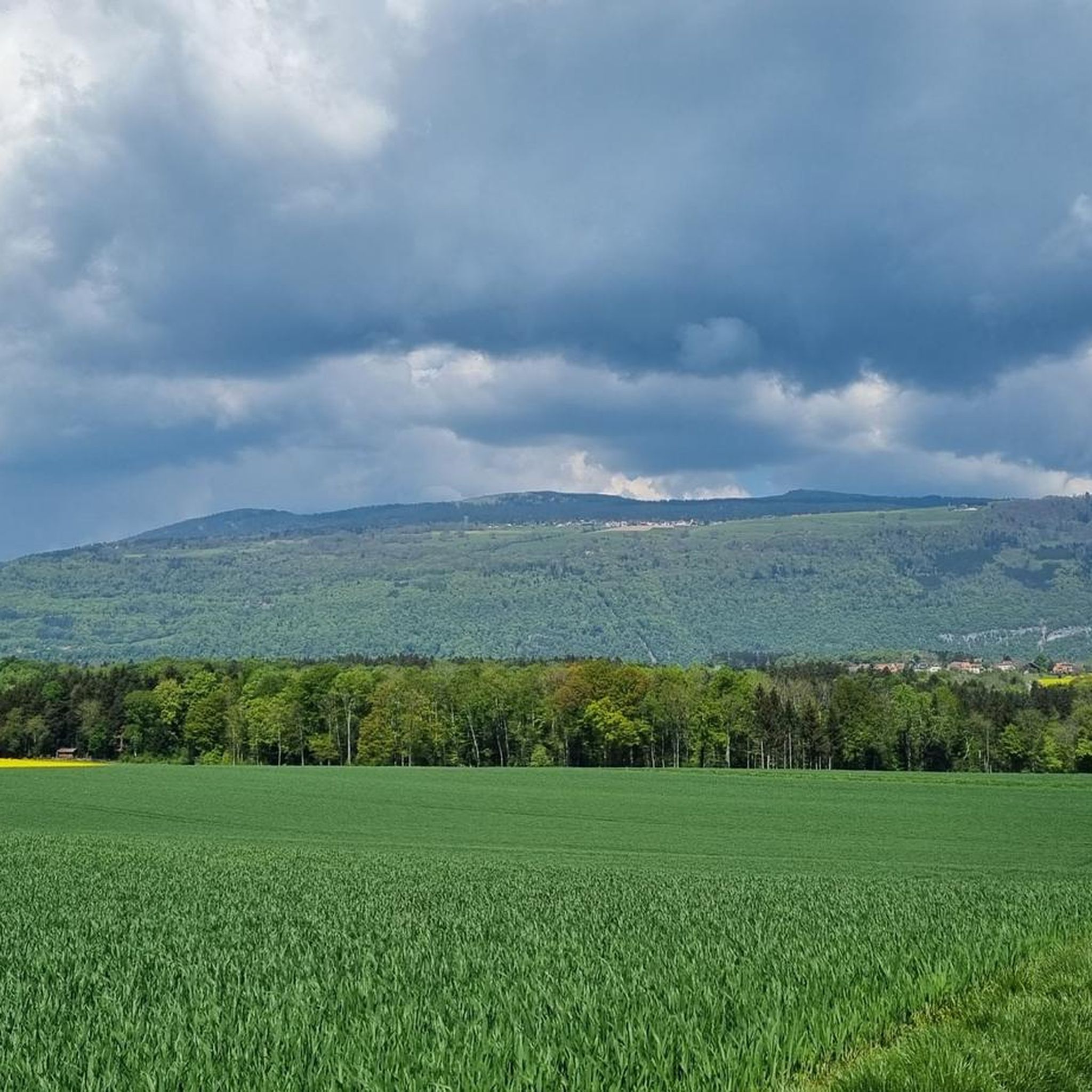
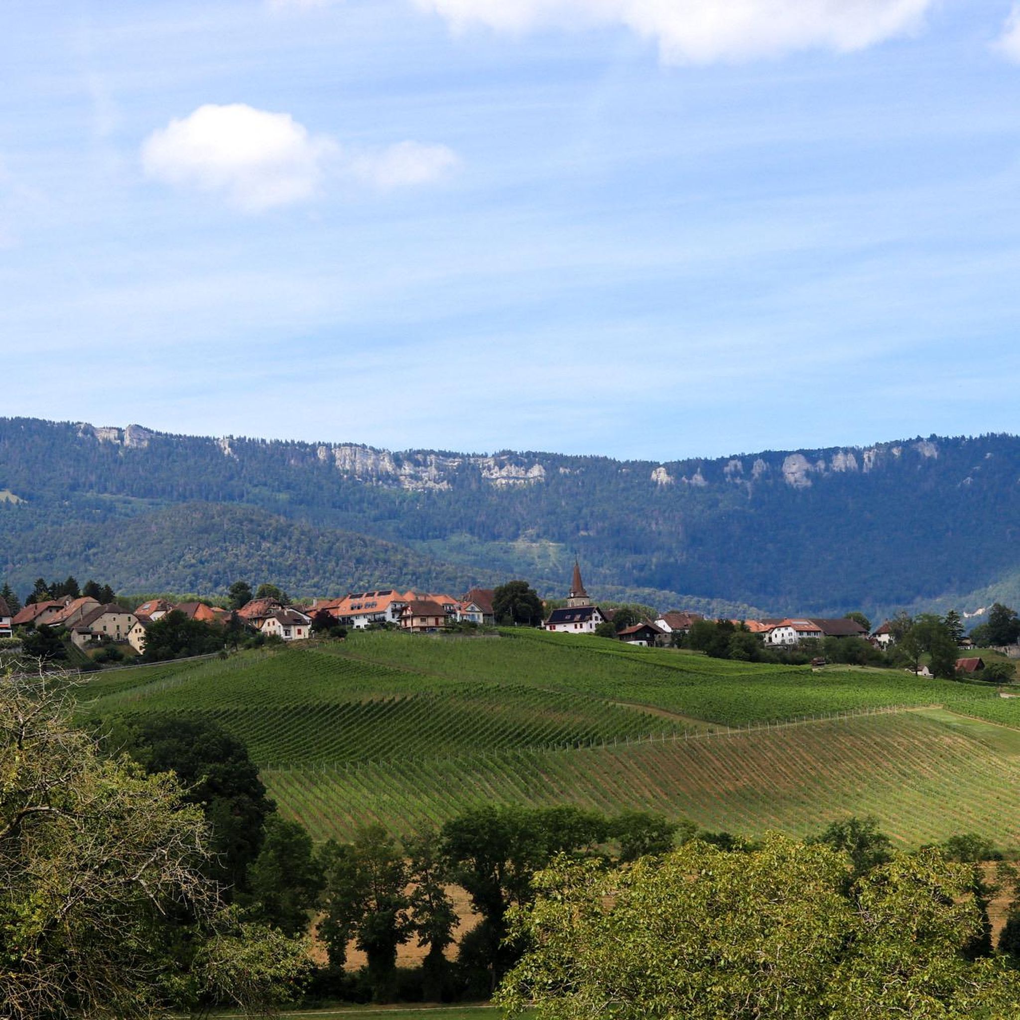
Mountaineering routes Montagny-près-Yverdon traverse the varied terrain of the Jura-Nord vaudois region, characterized by its elevated ridges and prominent summits. The landscape features a mix of dense forests, open alpine pastures, and rocky outcrops, providing diverse environments for ascents. These routes often lead to panoramic viewpoints across the surrounding valleys and distant peaks.
Best mountaineering routes around Montagny-près-Yverdon
- The most popular mountaineering route is Petites Roches Ridge – Chasseron Summit loop from Bullet, a 7.7 miles (12.4 km) trail…
Last updated: May 22, 2026
5.0
(2)
3
hikers
12.4km
04:01
440m
440m
Moderate mountaineering route. Good fitness required. Mostly accessible paths. Sure-footedness required.
2
hikers
7.93km
02:47
370m
370m
Moderate mountaineering route. Good fitness required. Mostly accessible paths. Sure-footedness required.

Sign up for free
1
hikers
9.64km
03:36
430m
430m
Moderate mountaineering route. Good fitness required. Mostly accessible paths. Sure-footedness required.
Our route recommendations are based on thousands of hikes, rides, and runs completed by other people on komoot.
Start today with a free account
Your next adventure awaits.
Login or Signup


Tips from the Community

I believe the restaurant on Le Chasseron is permanently closed. Please check before planning a visit.
0
0
A little smaller than the Chasseron, but the view is also gigantic
2
0
Easy paths lead up, the view is gigantic, all the famous Alpine peaks can be seen and in front of them Lake Neuchâtel and Lake Geneva
3
0
Cozy restaurant, the Rösti with goat Thomme was very tasty, many animals around the house will also be interesting for children
3
0

Beautiful pasture above the village of Bullet. You'll pass this point on the circular hike to the summit of the Chasseron.
0
0

Wonderful vantage point high above Lake Neuchâtel
8
1
We stayed there on our long-distance hike from Tarifa (Spain) to Switzerland and can highly recommend the great hotel with the wonderful view.
6
0
Frequently Asked Questions
How many mountaineering routes are available around Montagny-près-Yverdon?
There are 5 dedicated mountaineering routes around Montagny-près-Yverdon featured in this guide, all rated as moderate difficulty.
Are there any easy or beginner-friendly mountaineering routes in the area?
All mountaineering routes listed in this guide for Montagny-près-Yverdon are rated as moderate. While they offer varied terrain, they are generally suitable for those with some hiking experience. There are no routes specifically categorized as easy for mountaineering in this selection.
What is the typical distance and elevation gain for mountaineering routes here?
The routes vary in length and elevation. For example, the Le Chasseron – Les Roches Éboulées loop from Chalet de Noirvaux covers about 10.1 km with over 540 meters of ascent, while the Petites Roches loop from Sainte-Croix is around 9.1 km with approximately 466 meters of elevation gain.
Are the mountaineering routes around Montagny-près-Yverdon circular?
Yes, all the mountaineering routes highlighted in this guide are circular, meaning they start and end at the same point. This makes planning your trip and parking more convenient.
What kind of natural attractions can I expect to see along these routes?
The routes often lead to significant natural landmarks. You might encounter the prominent Chasseron Summit or traverse the scenic Petites Roches Ridge. The region also features impressive gorges like Gorges de Covatannaz and the Cliffs and Waterfall Trail of Agiez nearby.
Are there any places to eat or drink near the mountaineering trails?
Yes, some routes pass by or near mountain restaurants. For instance, the Chasseron Summit – Chasseron Restaurant loop from Bullet includes a return past a mountain restaurant, offering a convenient stop for refreshments.
What is the best time of year for mountaineering in this region?
The best time for mountaineering around Montagny-près-Yverdon is typically from late spring through early autumn (May to October) when the weather is generally stable and trails are clear of snow. Always check local weather conditions before heading out.
What are the winter mountaineering conditions like?
Winter mountaineering in the Jura-Nord vaudois region can be challenging due to snow and ice, especially at higher elevations and on exposed ridges. Conditions can change rapidly, requiring appropriate gear like snowshoes or crampons, and a good understanding of avalanche safety. It's advisable to check local conditions and forecasts if planning a winter ascent.
What do other mountaineers say about the routes in Montagny-près-Yverdon?
The mountaineering routes in Montagny-près-Yverdon are highly regarded by the komoot community, holding an average rating of 5.0 stars. Users often praise the varied terrain, panoramic viewpoints, and the mix of dense forests and open alpine pastures.
Is public transport an option to reach the trailheads?
While specific public transport connections to every trailhead can vary, the region around Montagny-près-Yverdon is generally accessible by public transport, particularly to larger villages like Bullet or Sainte-Croix, which serve as starting points for some routes. It's recommended to check local bus or train schedules for the most up-to-date information.
Are there good parking options near the mountaineering routes?
Yes, many of the trailheads, especially those starting from villages like Bullet or Sainte-Croix, offer designated parking areas. As the routes are circular, parking at the start point is usually convenient for completing the loop.
Most popular routes around Montagny-près-Yverdon
Most popular attractions around Montagny-près-Yverdon

Get inspired with the komoot mobile app


Explore more
Browse the best Mountain Hikes & Routes in other regions.
