The best mountain hikes around Bassins
4.5
(2)
60
hikers
11
hikes
Mountaineering routes around Bassins, located in the District de Nyon, Switzerland, offer diverse terrain within the Jura Vaudois region. This area is characterized by its varied elevations, including peaks like La Dôle, and features a mix of open landscapes and forested sections. The routes often involve significant ascents and descents, providing a true mountaineering experience.
Best mountaineering routes around Bassins
- The most popular mountaineering route is La Dôle loop from Les Pralies, a 9.3 miles (15.0 km) trail that…
Last updated: July 17, 2026
10
hikers
15.4km
05:07
670m
670m
Hard mountaineering route. Very good fitness required. Mostly accessible paths. Sure-footedness required.
5.0
(1)
10
hikers
9.69km
03:15
450m
450m
Moderate mountaineering route. Good fitness required. Mostly accessible paths. Sure-footedness required.

Sign up for free
10
hikers
13.8km
04:48
660m
660m
Moderate mountaineering route. Good fitness required. Mostly accessible paths. Sure-footedness required.
3
hikers
6.46km
02:22
350m
350m
Moderate mountaineering route. Good fitness required. Mostly accessible paths. Sure-footedness required.
5
hikers
19.4km
06:15
710m
710m
Hard mountaineering route. Very good fitness required. Sure-footedness, sturdy shoes and alpine experience required.
Get access to more routes and recommendations from other explorers.
Sign up for free
Already have an account?
Our route recommendations are based on thousands of hikes, rides, and runs completed by other people on komoot.
Start today with a free account
Your next adventure awaits.
Login or Signup

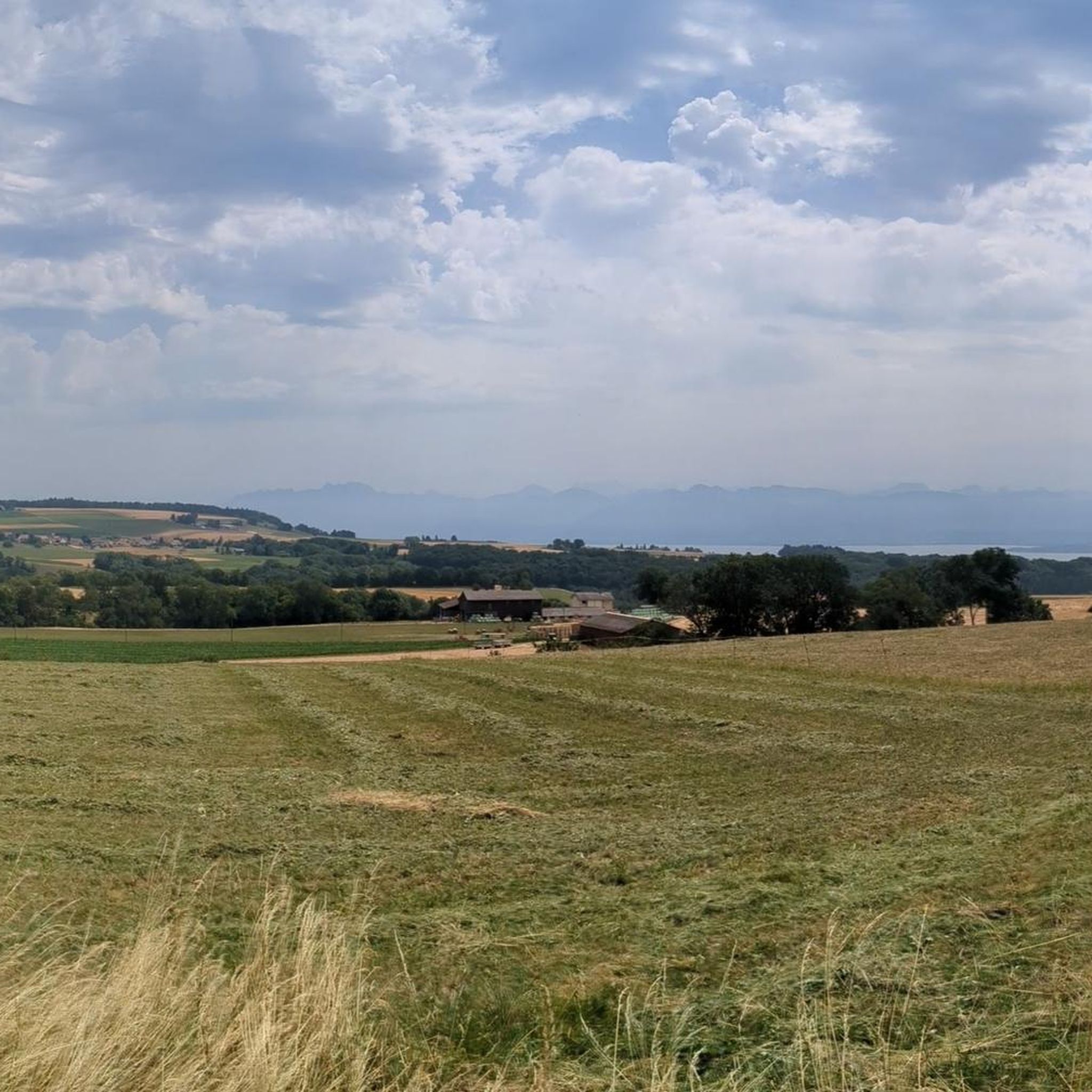
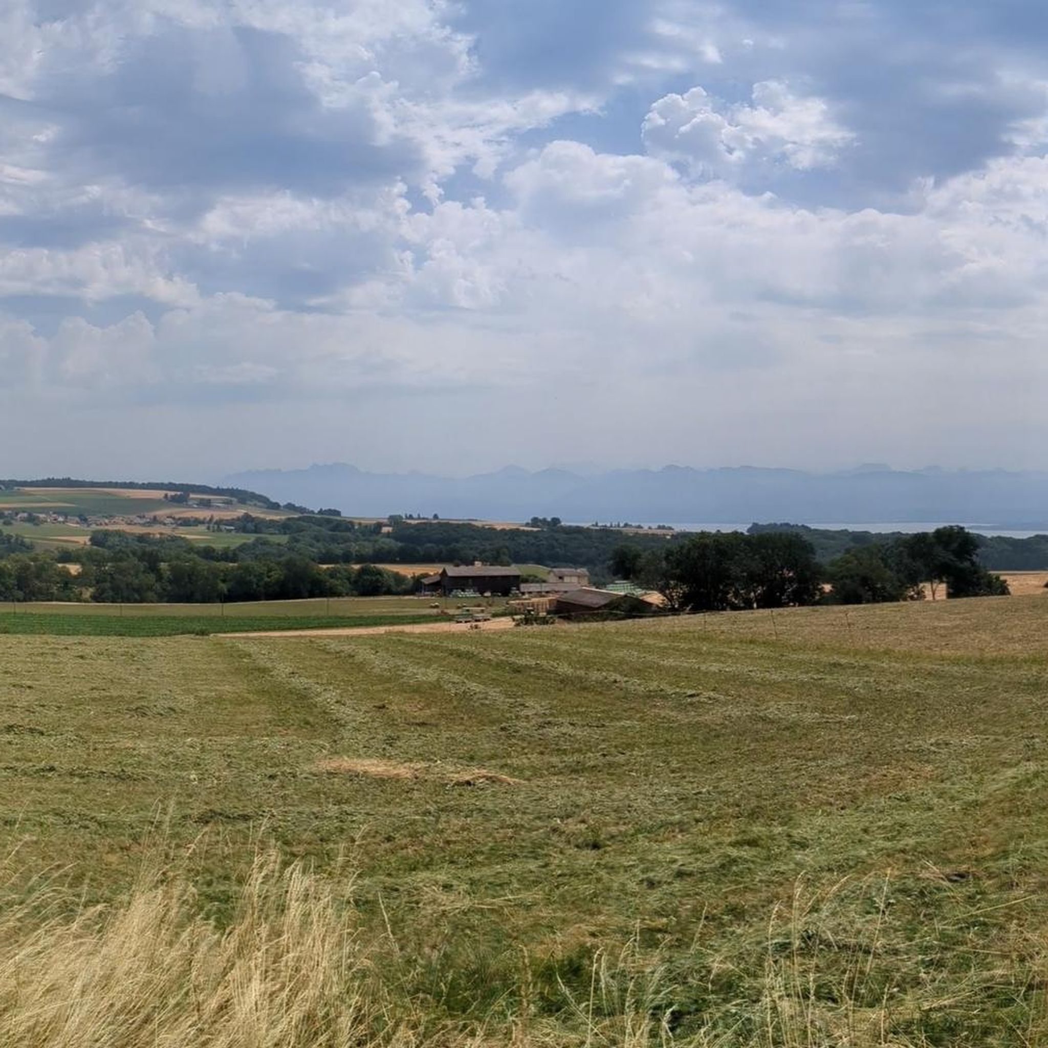
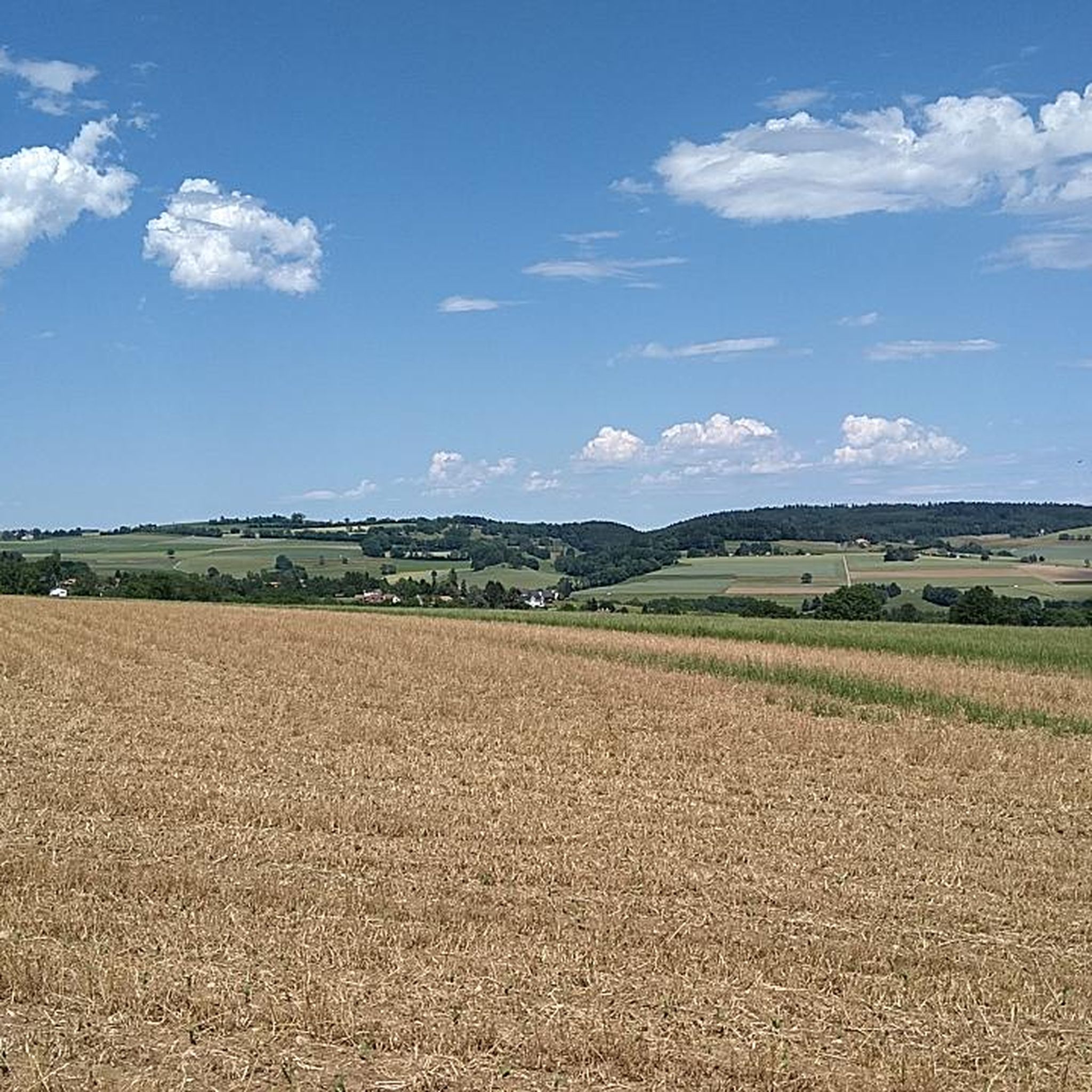
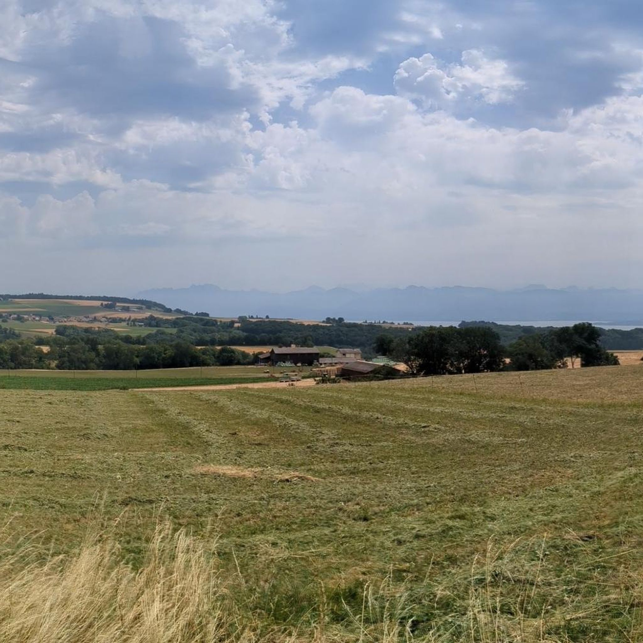
Other adventures around Bassins

Tips from the Community

Amazing views of the Alps - a huge panorama!
0
0

View of Mt. Blanc between the trees
0
0

steep climb, walking shoes recommended: the view is worth the effort
0
0

Greenery, small trail path, wild nature, everything is there to enjoy a breath of fresh air
1
0

Magnificent view of the summit. Early in the morning, the material gondola is in operation
0
0

Beautiful section of the Jura Ridge Trail
5
0
Beautiful mountain range with a wonderful panorama
5
1
Frequently Asked Questions
How many mountaineering routes are available around Bassins?
There are 12 mountaineering routes around Bassins, offering a range of experiences within the Jura Vaudois region. These routes vary in length and difficulty, providing options for different skill levels.
What is the general difficulty level of mountaineering routes in Bassins?
The routes around Bassins offer a mix of challenges. You'll find 8 moderate routes and 4 difficult routes. These often involve significant ascents and descents, providing a true mountaineering experience with varied terrain.
Are there any circular mountaineering routes in Bassins?
Yes, several mountaineering routes around Bassins are circular. For example, you can explore the La Dôle loop from Les Pralies, which is a difficult 9.3-mile route, or the moderate Nyon Ski Club Hut – Col de Porte (Jura) loop from Les Cheseaux, covering 6.0 miles.
What kind of views can I expect on mountaineering routes near Bassins?
Mountaineering routes near Bassins often provide breathtaking views of the Jura mountains. From peaks like La Dôle, you can expect panoramic vistas. The terrain also features a mix of open landscapes and forested sections, adding to the scenic variety.
Are there any interesting landmarks or attractions near the mountaineering routes?
Yes, the area around Bassins offers several points of interest. You can find various huts, such as the Cabane de Rochefort or the Nyon Ski Club Hut. Additionally, the region is close to beautiful lakes like Lac des Rousses, and the historic town of Nyon with its castle and Lake Geneva waterfront.
What do other mountaineers enjoy most about the routes in Bassins?
The mountaineering routes in Bassins are highly rated by the komoot community, with an average score of 4.5 stars. Mountaineers often praise the significant elevation changes, the stunning views of the Jura mountains, and the diverse terrain that includes both open and forested sections.
Are there any moderate mountaineering routes suitable for those looking for a less strenuous challenge?
Absolutely. While there are difficult options, Bassins also offers 8 moderate mountaineering routes. An example is the View of La Dôle Summit – La Dôle Summit loop from Les Cheseaux, which is a 8.8-mile path with substantial elevation gain but is rated moderate.
What is the typical duration for mountaineering routes in Bassins?
The duration of mountaineering routes in Bassins varies depending on the specific trail and your pace. For instance, the La Dôle – Chalet de La Pile-Dessus loop from Col de la Givrine typically takes about 4 hours and 17 minutes to complete, while shorter routes like Chalet de la Combe Gelée loop from Saint-Cergue can be done in around 2 hours and 17 minutes.
Is there parking available near the starting points of these routes?
Many mountaineering routes in the Bassins area, particularly those starting from villages or popular access points like Les Pralies, Les Cheseaux, or Col de la Givrine, typically have designated parking areas nearby. It's always advisable to check specific route details for precise parking information.
Can I reach the mountaineering routes using public transport?
The Jura Vaudois region, including areas around Bassins, often has public transport connections to key villages and trailheads. While specific routes may vary, it's generally possible to access some starting points via local bus services or trains, especially for routes originating from larger settlements like Saint-Cergue or near the Col de la Givrine.
What is the best time of year for mountaineering in Bassins?
The best time for mountaineering in Bassins generally depends on the specific conditions you're seeking. Spring through autumn offers the most favorable weather for hiking, with accessible trails and pleasant temperatures. Winter mountaineering is possible but requires appropriate gear and experience due to snow and ice conditions, especially at higher elevations like La Dôle.
Most popular routes around Bassins
Most popular attractions around Bassins

Get inspired with the komoot mobile app


Explore more
Browse the best Mountain Hikes & Routes in other regions.
