The best road cycling routes around Kamminke
4.5
(154)
3,434
riders
93
rides
Road cycling routes around Kamminke offer diverse landscapes on the island of Usedom, characterized by its unique position between the Baltic Sea and the Achterwasser lagoon. The terrain features a mix of coastal paths, serene lagoon shores, dense forests, and open fields, with gentle elevations like Golm hill. Well-developed cycle paths cater to various skill levels, providing routes through natural areas and charming villages. The region's geography supports both leisurely rides and more challenging sections.
Best road cycling routes around Kamminke
- The most popular road cycling route is German-Polish Border – Bansin Beach Promenade loop from Świnoujście Port, a 20.8 miles (33.5 km) trail that takes 1 hour 36 minutes to complete. This route offers coastal views and leads along the beach promenade.
- Another top favourite among local road cyclists is Langer Kammweg Forest Path – Pudagla Village Center loop from Świnoujście Port, a moderate 38.4 miles (61.8 km) path. This route traverses forest paths and connects various village centers, showcasing diverse landscapes.
- Local road cyclists also love the German-Polish Border – Fort Anioła (Angel’s Castle) loop from Świnoujście Port, a 19.1 miles (30.8 km) trail leading through cross-border areas and past historical sites, often completed in about 1 hour 29 minutes.
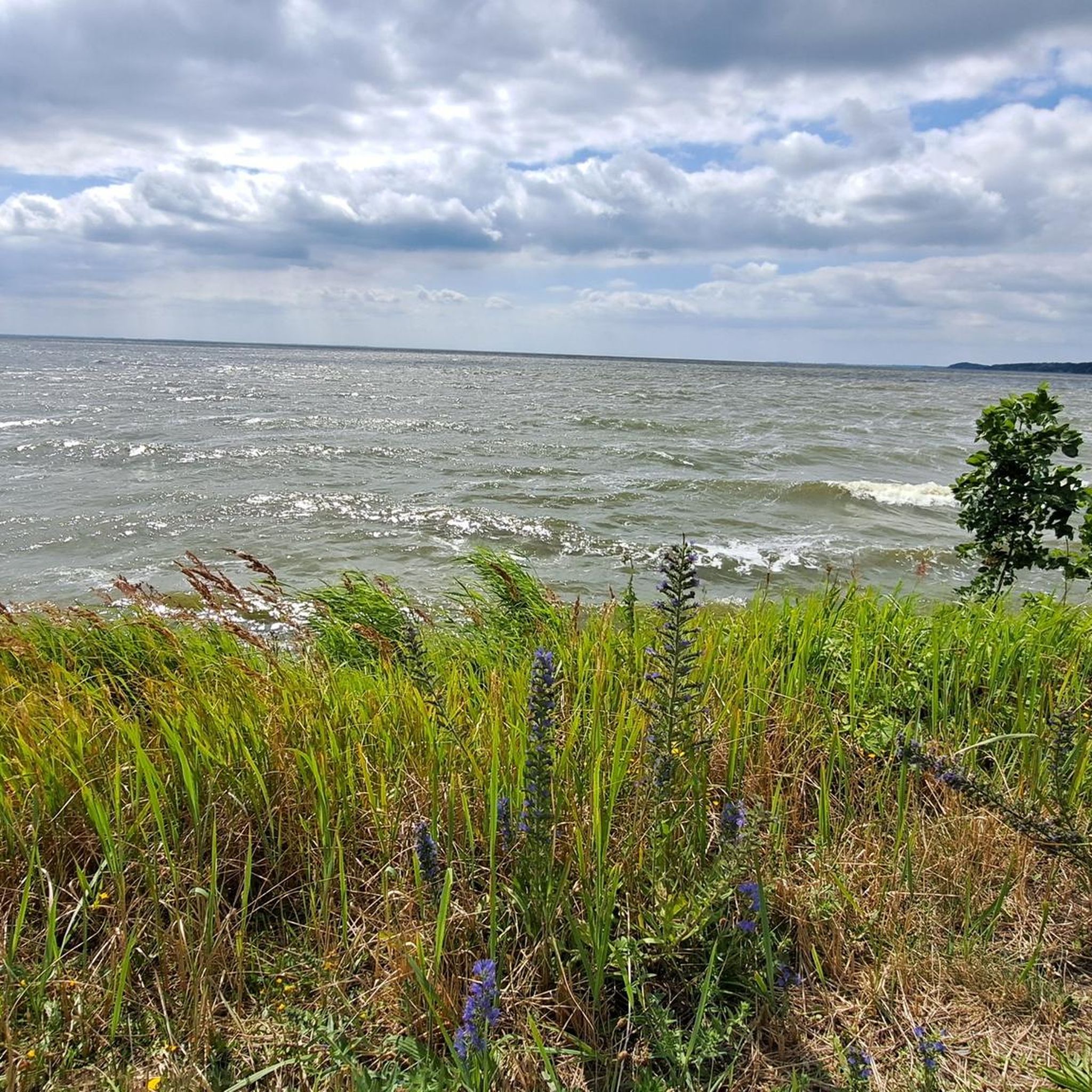
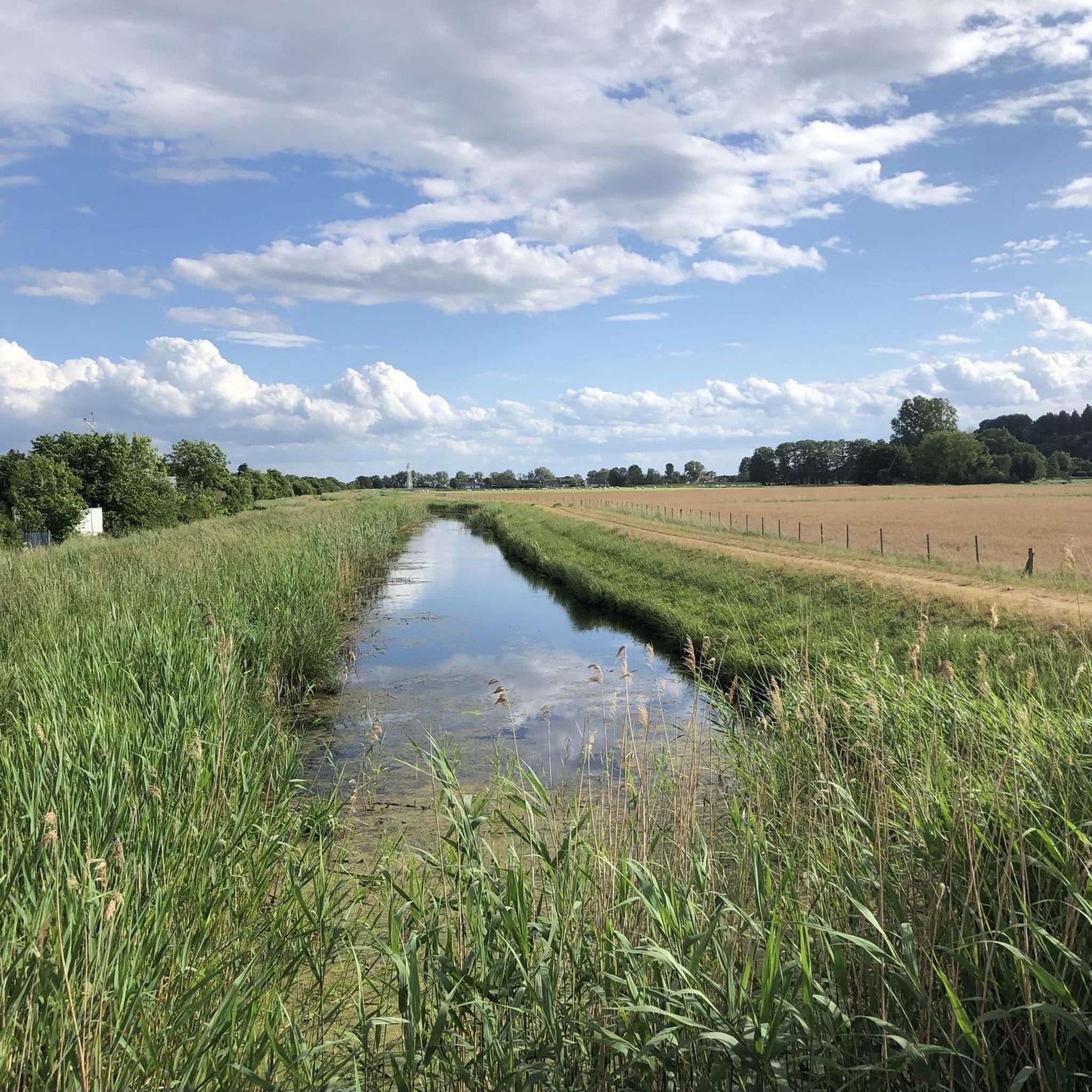
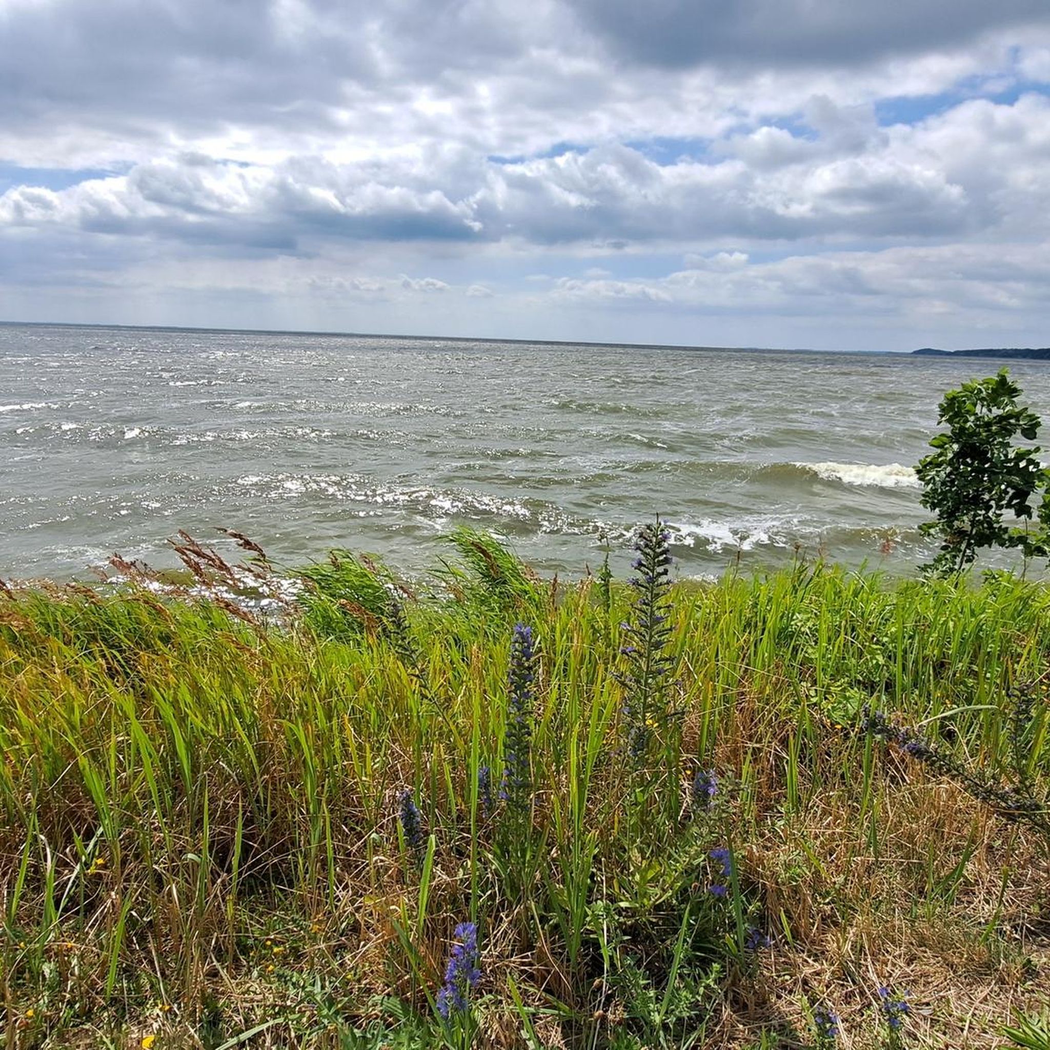
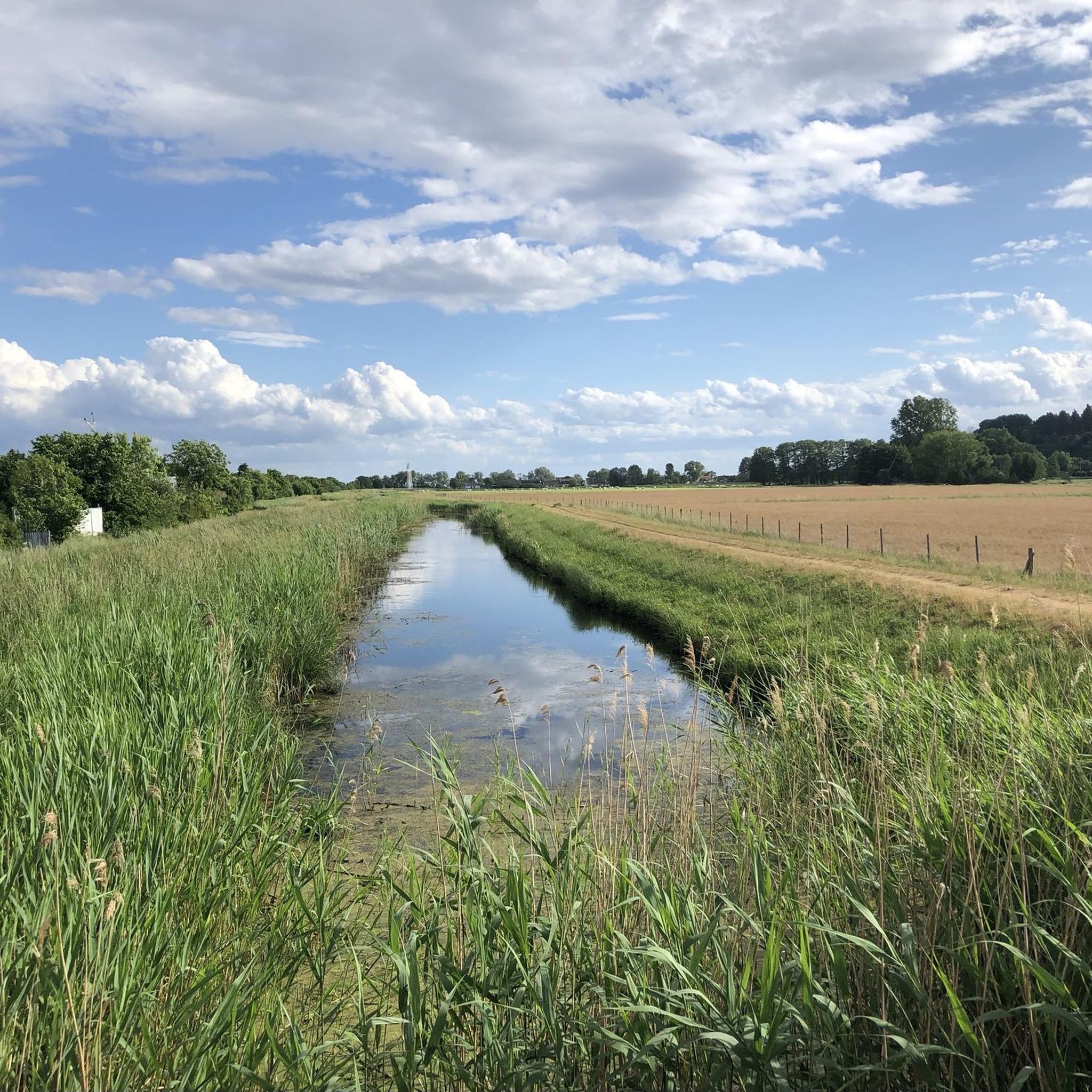
- Road cycling around Kamminke is defined by coastal paths along the Baltic Sea, tranquil routes along the Achterwasser lagoon, and passages through dense forests and open fields. The network offers options for different ability levels, from easy rides to more demanding routes.
- The routes in Kamminke are highly rated by the komoot community with an average score of 4.5 stars from over 120 reviews. More than 2,500 road cyclists have used komoot to explore Kamminke's varied terrain.
Last updated: July 22, 2026
2.0
(2)
20
riders
22.2km
01:05
150m
150m
Easy road ride. Great for any fitness level. Mostly well-paved surfaces and easy to ride.
13
riders
Easy road ride. Great for any fitness level. Mostly well-paved surfaces and easy to ride.

Sign up for free
4.3
(3)
11
riders
27.8km
01:27
60m
60m
Moderate road ride. Great for any fitness level. Some segments of this route may be unpaved and difficult to ride.
4.5
(2)
10
riders
Moderate road ride. Great for any fitness level. Some segments of this route may be unpaved and difficult to ride.
7
riders
Hard road ride. Very good fitness required. Some segments of this route may be unpaved and difficult to ride.
Get access to more routes and recommendations from other explorers.
Sign up for free
Already have an account?
Our route recommendations are based on thousands of hikes, rides, and runs completed by other people on komoot.
Start today with a free account
Your next adventure awaits.
Login or Signup

Tips from the Community

Very spotted pond facility with a view of the castle
0
1


Many things are available for purchase here that are illegal in Germany. Beware! Ignorance of the law is no excuse. Clothing is fine, but you should steer clear of other items. Only buy cigarettes with a valid tax stamp.
8
0

It lies on the former border between the two countries and is the longest coastal pedestrian and cycle path in Europe. It connects the German seaside resort of Ahlbeck with the Polish city of Świnoujście (Swinemünde) and passes through three imperial seaside resorts dating back to the Prussian era: Bansin, Heringsdorf, and Ahlbeck. The promenade stretches for a total length of 12 km.
11
0

Cobblestones at their finest...better to drive on the footpath here
1
0
Frequently Asked Questions
What kind of terrain and elevation changes can I expect on road cycling routes around Kamminke?
Road cycling routes around Kamminke offer a diverse mix of terrain, including well-developed cycle paths that are paved, unpaved, asphalt, and sometimes loose gravel. You'll encounter coastal paths along the Baltic Sea, tranquil routes along the Achterwasser lagoon, and passages through dense forests and open fields. While generally gentle, there are notable elevations like Golm, Usedom's highest point, and a challenging 12% incline on Bergstraße directly from Kamminke harbor.
Are there family-friendly road cycling routes available in Kamminke?
Yes, Kamminke offers numerous family-friendly road cycling options. The region's well-developed cycle paths cater to all skill levels, including beginners. There are over 35 easy routes available, providing gentle rides through scenic landscapes suitable for families.
What are some notable landmarks or natural features I can see while road cycling near Kamminke?
While cycling, you can explore various natural and historical landmarks. Highlights include the picturesque Achterwasser lagoon, the highest elevation on Usedom, Golm, and the extensive Baltic Sea coast. You might also pass by the Stawa Młyny (Windmill Beacon), Lake Gothensee, or historical sites like Fort Anioła (Angel’s Castle) and Fort West Battery.
Are there any road cycling routes that offer views of the Achterwasser lagoon?
Yes, many routes in the region provide stunning views of the Achterwasser lagoon. For example, the route Neu-Pudagla – Ückeritz cycle path – View of the Achterwasser loop from Świnoujście Centrum specifically highlights views of the lagoon, offering tranquil scenery along its shores.
What is the best time of year to go road cycling in Kamminke?
The best time for road cycling in Kamminke is typically from spring to autumn. During these seasons, the weather is generally mild and pleasant, making for ideal cycling conditions. The coastal paths and forest routes are particularly enjoyable when the foliage is green and the sea breeze is refreshing.
Can I find circular road cycling routes around Kamminke?
Yes, Kamminke offers several excellent circular road cycling routes. These loops allow you to start and end at the same point, making planning convenient. An example is the German-Polish Border – Bansin Beach Promenade loop from Świnoujście Port, which offers coastal views and a complete circuit.
Are there road cycling routes that cross the German-Polish border?
Yes, the Usedom Coastal Cycle Path extends across the German-Polish border into Świnoujście, offering a unique international cycling experience. Routes like the German-Polish Border – Fort Anioła (Angel’s Castle) loop from Świnoujście Port allow you to explore areas in both countries and visit historical sites.
What do other road cyclists enjoy most about the routes in Kamminke?
The road cycling routes in Kamminke are highly rated by the komoot community, with an average score of 4.5 stars from over 120 reviews. Cyclists often praise the diverse landscapes, including coastal paths, serene lagoon shores, and passages through dense forests, as well as the well-developed cycle paths that cater to various skill levels.
Are there options for longer, more challenging road cycling routes?
Yes, for those seeking a greater challenge, Kamminke and its surroundings offer longer and more demanding routes. For instance, the Langer Kammweg Forest Path – Pudagla Village Center loop from Świnoujście Port is a moderate 38.4-mile (61.8 km) path that traverses forest paths and connects various village centers, showcasing diverse landscapes and requiring more endurance.
Are there any road cycling routes that pass through the Thurbruch Moor area?
Yes, the Thurbruch Moor area is incorporated into several varied cycling routes around Kamminke. This natural feature adds another dimension to the scenic diversity, allowing cyclists to experience a unique wetland landscape as part of their ride.
What are the options for parking when planning a road cycling trip in Kamminke?
Kamminke and the surrounding areas are generally well-equipped for visitors. You can typically find parking facilities in and around the village, especially near popular starting points for cycling routes or at the harbor. It's advisable to check local signage for specific parking regulations and availability.
Can I reach Kamminke and its cycling routes using public transport?
Yes, public transport options are available to reach Kamminke and access the cycling routes. The island of Usedom has a network of public transport, including bus services, which can connect you to various points on the island. Some routes might also be accessible from train stations on the mainland or via ferry connections to Świnoujście, offering flexibility for cyclists traveling without a car.
Most popular routes around Kamminke
Most popular attractions around Kamminke

Get inspired with the komoot mobile app


Explore more
Browse the best Road cycling routes in other regions.
