The best mountain hikes around Großerlach
2
hikers
3
hikes
Mountaineering around Großerlach is characterized by its location within the Schwäbischer Wald (Swabian Forest), an upland region featuring picturesque hills, deeply incised valleys, and extensive forests. While not offering high alpine peaks, the area provides diverse outdoor activities through its varied terrain, including unique "Klingen" (gorges) carved by streams. Elevations in the region range between 500 and 586 meters, presenting a landscape of light-filled orchards and dark forests.
Best mountaineering routes around Großerlach
- The most popular mountaineering route is Tobelschlucht…
Last updated: July 29, 2026
1
hikers
5.23km
01:34
150m
150m
Hard mountaineering route. Great for any fitness level. Sure-footedness, sturdy shoes and alpine experience required.
1
hikers
Moderate mountaineering route. Good fitness required. Easily-accessible paths. Suitable for all skill levels.

Sign up for free
6.85km
02:00
180m
190m
Easy mountaineering route. Great for any fitness level. Easily-accessible paths. Suitable for all skill levels.
Our route recommendations are based on thousands of hikes, rides, and runs completed by other people on komoot.
Start today with a free account
Your next adventure awaits.
Login or Signup
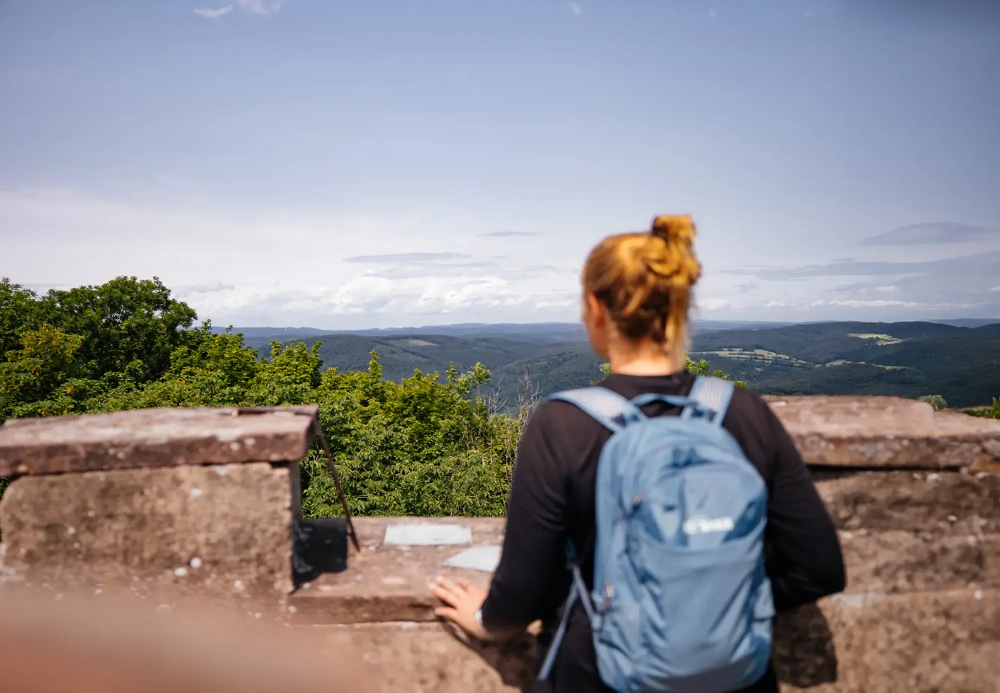
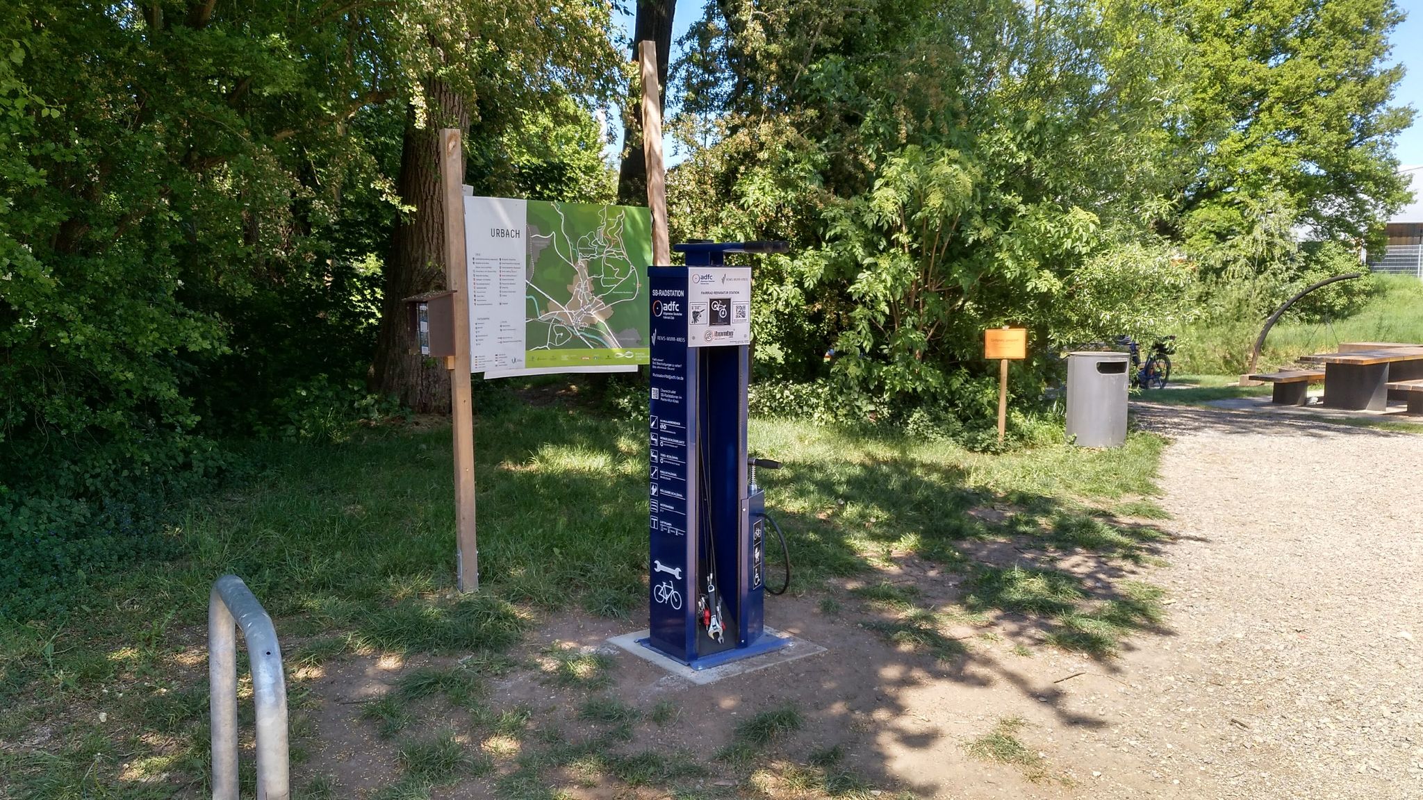
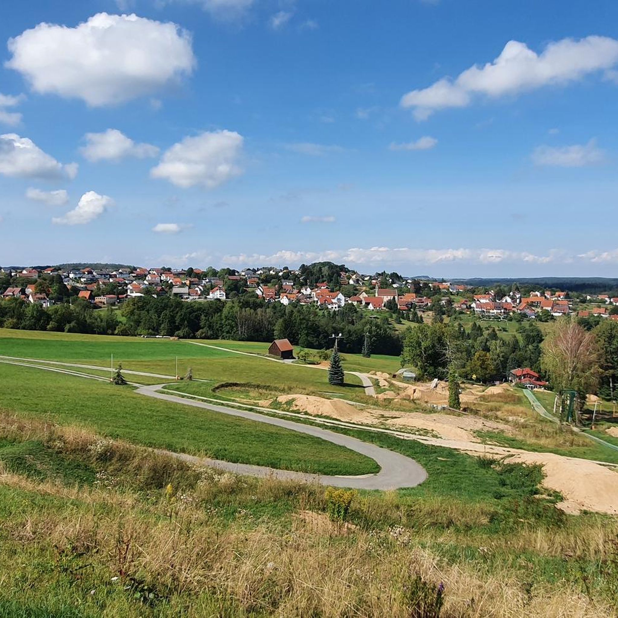
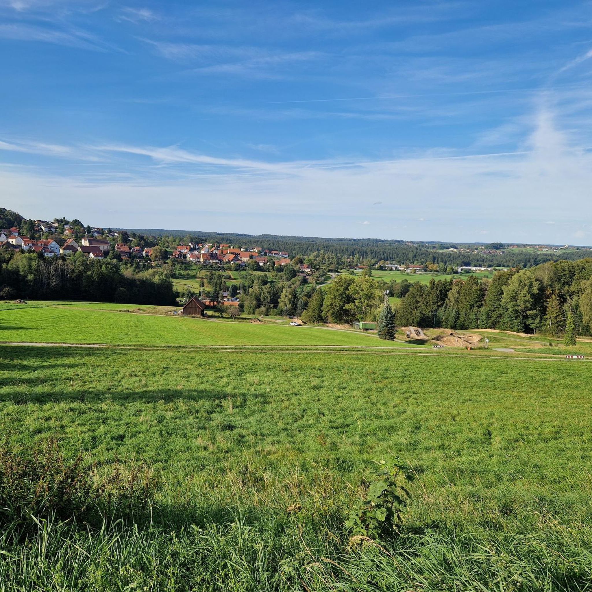
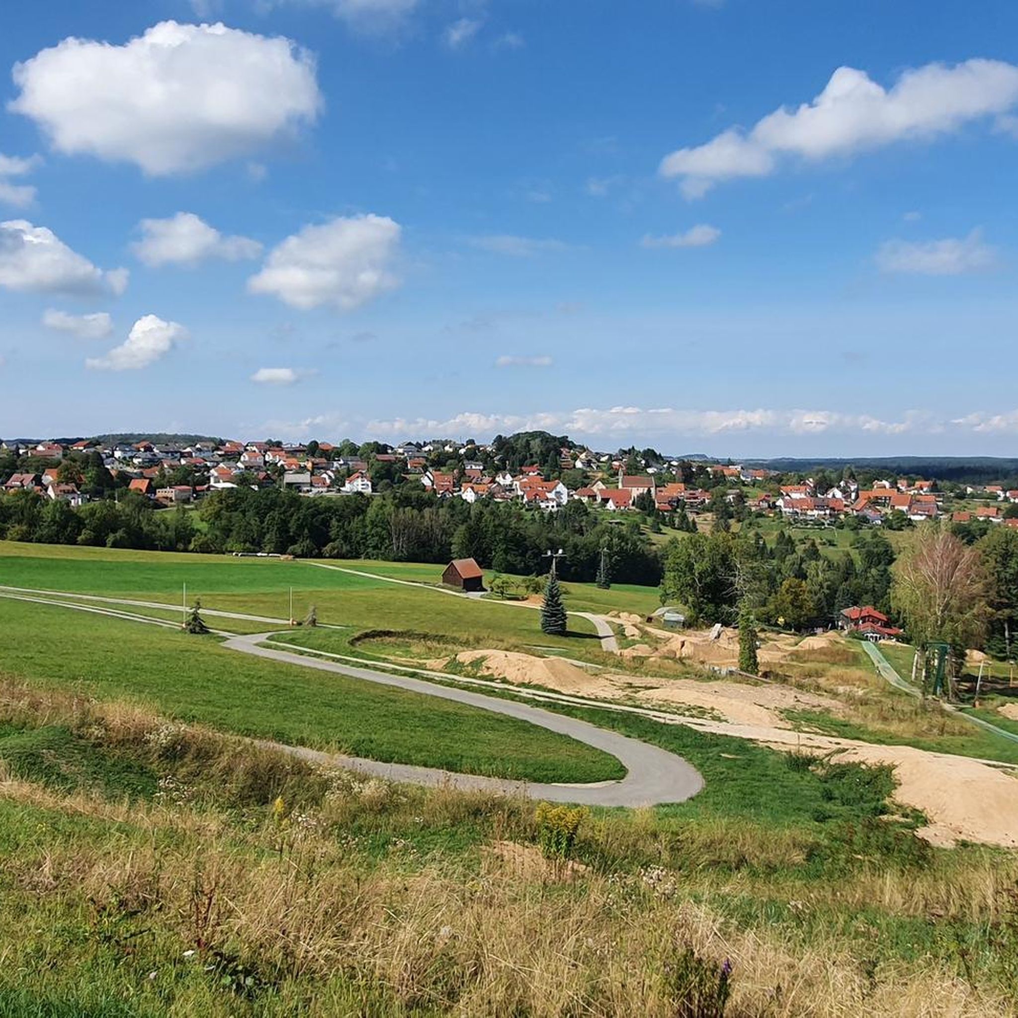
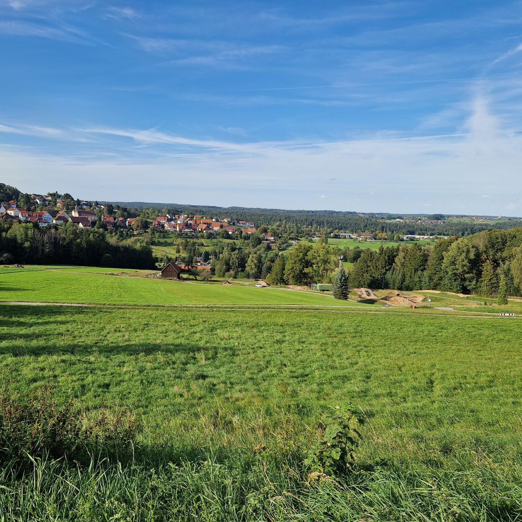
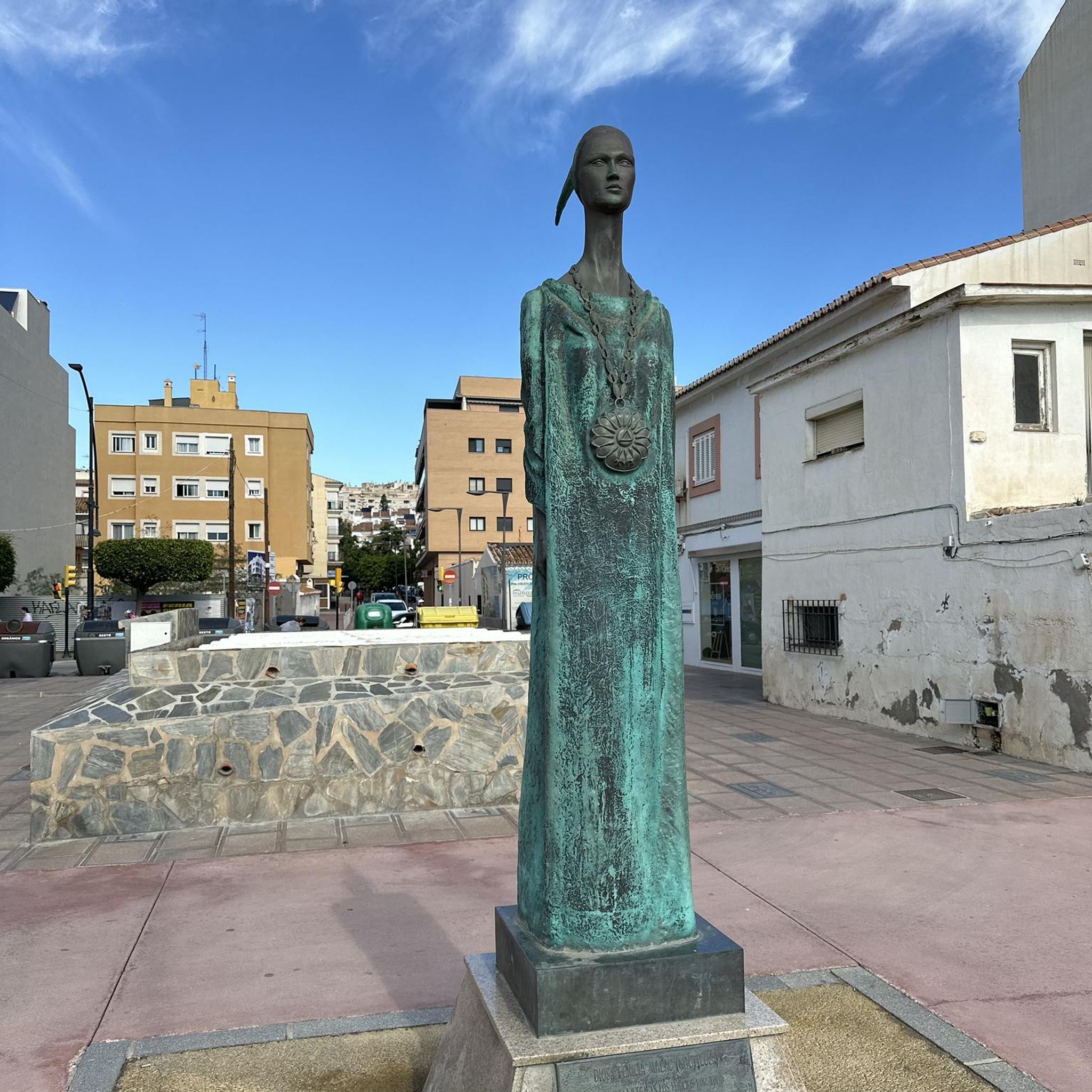


Tips from the Community

The lake is located in the middle of the forest, beautifully secluded and quiet.
1
0

The language of the following quote may seem a little dated to us, but surely many hikers will be able to relate to the words of Josef Hofmiller (Dr. phil., 1872-1933): „... that is what hiking is: When do we ever feel so filled with life to the brim, to overflowing, as on a hike? We breathe more freely, our blood pulses more joyfully, the world seems more colorful and richer to us, happiness sings ahead of us from tree to tree like a finch...“
0
0


A welcome passage
1
0
Sturdy shoes!
1
0

Frequently Asked Questions
What kind of terrain can I expect on mountaineering routes around Großerlach?
Mountaineering around Großerlach primarily involves exploring the scenic Schwäbischer Wald, characterized by picturesque hills, deeply incised valleys, and extensive forests. You'll encounter varied terrain, from gentle forest paths to more rugged sections within unique 'Klingen' (gorges) featuring sandstone formations and small waterfalls. While not high alpine, some trails can be challenging, requiring sturdy footwear.
Are there routes suitable for beginners or those looking for an easier experience?
Yes, there are routes for various ability levels. For an easier experience, consider the Steinernes Sofa loop from Enzwiese. This 6.8 km trail leads through forested hills and is generally completed in about 1 hour 58 minutes, offering a pleasant and less strenuous option.
Which routes offer the most challenging mountaineering experiences?
For a more challenging experience, the Tobelschlucht Fountain – Tobel Gorge and the Hollow Stone loop from Wüstenrot is a difficult 5.2 km trail. It explores a beautiful, unspoiled stream valley with striking sandstone rock faces and semi-caves. The path can be narrow, muddy, and rocky, with some sections secured by ropes, requiring surefootedness.
Can I find routes that feature waterfalls or impressive gorges?
Absolutely. The region is known for its 'Klingen' (gorges) and waterfalls. The Tobelschlucht Fountain – Tobel Gorge and the Hollow Stone loop from Wüstenrot directly explores the Tobel Gorge and the Hollow Stone. You can also find the impressive Front Hörschbach Waterfall and the rugged Hüttlenwald Gorge nearby, which are popular highlights for their natural beauty.
Are there any historical landmarks or points of interest along the mountaineering routes?
Yes, the region has significant historical interest, particularly related to the Roman Limes. The Limes Watchtower on Heidenbuckel – Hohe Brach Transmission Tower loop from Grab leads past the reconstructed Roman watchtower on Heidenbuckel, which is the second-highest point on the Upper Germanic Limes in Baden-Württemberg. This offers a blend of natural beauty and ancient history.
Are the mountaineering routes around Großerlach suitable for families with children?
Many routes are suitable for families, especially the easier loops through the forests. The Steinernes Sofa loop from Enzwiese is a good option. Additionally, the region features a 'Naturspur' (Nature Trail) around Großerlach, an educational trail with 20 stations, offering both a short (1.7 km) and long (3.5 km) loop through forests and fields, which can be very engaging for children.
Can I bring my dog on the mountaineering trails in Großerlach?
Most trails in the Schwäbischer Wald are dog-friendly, but it's always recommended to keep your dog on a leash, especially in nature reserves or near wildlife. Be aware that some gorge paths, like those in Hüttlenwaldschlucht or Tobelschlucht, can be narrow, muddy, and rocky, which might be challenging for some dogs or require extra care.
What is the best time of year to go mountaineering in Großerlach?
The region offers beauty throughout the year. Spring and autumn are particularly pleasant for hiking, with mild temperatures and vibrant foliage. Summer provides lush green forests, while winter can transform the gorges into a magical, albeit potentially icy, landscape. If exploring gorges in winter, be prepared for slippery conditions and potentially require appropriate equipment.
Are there circular routes available for mountaineering?
Yes, all the highlighted mountaineering routes in this guide are circular, allowing you to start and end at the same point. Examples include the Tobelschlucht Fountain – Tobel Gorge and the Hollow Stone loop from Wüstenrot, the Limes Watchtower on Heidenbuckel – Hohe Brach Transmission Tower loop from Grab, and the Steinernes Sofa loop from Enzwiese.
What kind of wildlife might I encounter on the trails?
The extensive forests and valleys of the Schwäbischer Wald are home to diverse wildlife. You might spot various bird species, deer, foxes, and smaller mammals. The natural environment, especially in the quieter gorge areas, provides a habitat for many creatures, making for an enriching nature experience.
Are there any facilities or amenities near the trailheads, such as parking or cafes?
Großerlach and its surrounding villages offer some amenities. While specific parking details vary by trailhead, you can generally find parking in or near the starting points of popular routes. For cafes or places to eat, you might find options in Großerlach itself or in nearby towns like Murrhardt, which also features the charming Murrhardt Market Square.
Most popular routes around Großerlach
Most popular attractions around Großerlach

Get inspired with the komoot mobile app


Explore more
Browse the best Mountain Hikes & Routes in other regions.
