The best road cycling routes around Notre-Dame-des-Bois
94
riders
4
rides
Road cycling around Notre-Dame-des-Bois features a landscape characterized by rolling hills, significant mountain ascents, and forested areas. The region is situated near prominent peaks like Mont Mégantic and Mont Saint-Joseph, offering challenging climbs and scenic vistas. Road cycling routes often traverse rural roads, passing by lakes and through varied terrain, providing diverse experiences for cyclists.
Best road cycling routes around Notre-Dame-des-Bois
- The most popular road cycling route is First, Second, & Third Connecticut Lakes via Daniel Webster Highway, a…
Last updated: May 12, 2026
50.0km
02:16
550m
550m
Moderate road ride. Good fitness required. Mostly well-paved surfaces and easy to ride.
37
riders
34.3km
02:06
750m
750m
Moderate road ride. Good fitness required. Mostly well-paved surfaces and easy to ride.

Sign up for free
26
riders
29.2km
01:56
910m
910m
Hard road ride. Very good fitness required. Mostly well-paved surfaces and easy to ride.
17
riders
132km
05:39
1,000m
1,000m
Hard road ride. Very good fitness required. Mostly well-paved surfaces and easy to ride.
10
riders
11.4km
00:56
510m
510m
Moderate road ride. Good fitness required. Mostly well-paved surfaces and easy to ride.
Our route recommendations are based on thousands of hikes, rides, and runs completed by other people on komoot.
Start today with a free account
Your next adventure awaits.
Login or Signup
Popular around Notre-Dame-des-Bois
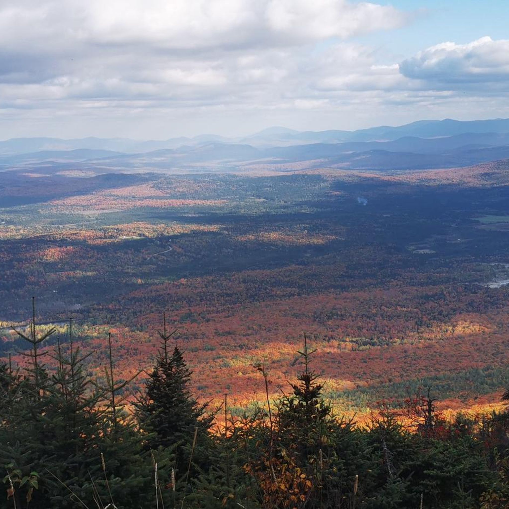

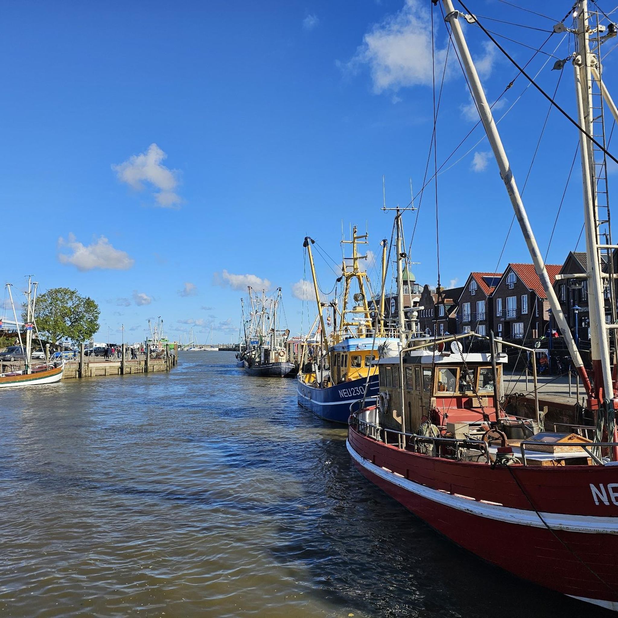
Tips from the Community

Coburn Gore is a small town that mainly serves as the border crossing from Canada to Maine or vise versa. There is a gas station here to top of ride fuel.
0
0
Natanis Pond is a part of 'The Chain of Ponds'. Along the shores you can campat primitive sites, or commercial sites with amenities. Natanis is the largest of the ponds and is surrounded by shrub-lined wetlands.
0
0
Eustis Maine is full of amazing lake views, secluded forest, and wine tastings, but you can also hunt, snow shoe, mountain bike, and canoe. There are a few restaurants including a breakfast cafe and a steakhouse to enjoy.
0
0
Stratton is a village in the town of Eustis on the shore of the Dead River. This small village is very bear bones with all the usual essentials including a post office, inn/cafe, general store, and some historical 19th century buildings.
0
0

Sugarloaf is one of the tallest mountains in Maine, at 4,237 feet. This resort has year round activities in Carrabassett Valley, with 1240 skiable acres of skiing in the winter and golfing, biking & more in the summer.
0
0
Stratton is a village in the town of Eustis on the shore of the Dead River. This small village is very bear bones with all the usual essentials including a post office, inn/cafe, general store, and some historical 19th century buildings.
0
0
Eustis Maine is full of amazing lake views, secluded forest, and wine tastings, but you can also hunt, snow shoe, mountain bike, and canoe. There are a few restaurants including a breakfast cafe and a steakhouse to enjoy.
0
0
Natanis Pond is a part of 'The Chain of Ponds'. Along the shores you can campat primitive sites, or commercial sites with amenities. Natanis is the largest of the ponds and is surrounded by shrub-lined wetlands.
0
0
Frequently Asked Questions
What kind of terrain can I expect when road cycling around Notre-Dame-des-Bois?
The region is characterized by rolling hills, significant mountain ascents, and forested areas. You'll find routes traversing rural roads, passing by lakes, and offering diverse experiences with notable climbs towards peaks like Mont Mégantic and Mont Saint-Joseph.
Are there challenging road cycling routes available in Notre-Dame-des-Bois?
Yes, Notre-Dame-des-Bois offers several challenging routes. For instance, the Mont Saint-Joseph – Mont Mégantic loop from Notre-Dame-des-Bois is a difficult 18.2-mile (29.2 km) trail with over 900 meters of elevation gain. Another demanding option is the 82-mile (132 km) Coburn Gore Border Crossing – Rural Road in Eustis loop from Saint-Augustin-de-Woburn, featuring over 1000 meters of climbing.
Are there any loop road cycling routes in the area?
Yes, many of the road cycling routes around Notre-Dame-des-Bois are designed as loops. Examples include the Mont Mégantic – Aire d'observation loop from Lac Brault and the Mont Saint-Joseph – Mont Mégantic loop from Notre-Dame-des-Bois, both offering circular journeys through the scenic landscape.
What are some scenic viewpoints or highlights to look for on road cycling routes?
The region is known for its scenic vistas, especially from higher elevations. Routes often pass by beautiful lakes, such as those encountered on the First, Second, & Third Connecticut Lakes via Daniel Webster Highway. The observation areas near Mont Mégantic also provide stunning panoramic views, as featured in the Mont Mégantic – Aire d'observation loop from Lac Brault.
How long do road cycling routes typically take in Notre-Dame-des-Bois?
Route durations vary depending on length and elevation. Shorter, moderate routes like the Mont Mégantic – Halte de la Terre loop from ASTROLab (7.1 miles / 11.4 km) can be completed in about 1 hour. Longer, more challenging routes, such as the Coburn Gore Border Crossing – Rural Road in Eustis loop from Saint-Augustin-de-Woburn (82 miles / 132 km), may take over 5 hours.
What is the best season for road biking in Notre-Dame-des-Bois?
The best season for road biking in Notre-Dame-des-Bois is typically from late spring through early autumn (May to October). During these months, the weather is generally milder, and the roads are clear of snow and ice, offering optimal conditions to enjoy the region's varied terrain and scenic beauty.
Are there any road cycling routes that pass by lakes?
Yes, the region's landscape includes several lakes that are incorporated into road cycling routes. The First, Second, & Third Connecticut Lakes via Daniel Webster Highway is a prime example, offering a moderate ride through a picturesque lake district.
What is the general difficulty level of road cycling in this area?
Road cycling around Notre-Dame-des-Bois is generally characterized by moderate to difficult ability levels. The routes feature significant elevation changes due to the presence of rolling hills and mountain ascents, making it suitable for cyclists looking for a good workout and scenic climbs.
How many road cycling routes are featured in this guide for Notre-Dame-des-Bois?
This guide features five distinct road cycling routes around Notre-Dame-des-Bois, ranging in difficulty from moderate to difficult. These routes showcase the diverse landscape, including lake districts and mountainous terrain.
What do other road cyclists enjoy about the routes in Notre-Dame-des-Bois?
Over 90 road cyclists have used komoot to explore Notre-Dame-des-Bois. They often praise the challenging mountain climbs, the scenic lake views, and the quiet rural roads that define the region's cycling experience.
Are there any shorter, moderate road cycling options for a quicker ride?
For a shorter, moderate ride, consider the Mont Mégantic – Halte de la Terre loop from ASTROLab. This route is 7.1 miles (11.4 km) long with over 500 meters of elevation gain and can typically be completed in about an hour, offering a good workout without committing to a full-day ride.
Most popular routes around Notre-Dame-des-Bois

Get inspired with the komoot mobile app


Explore more
Browse the best Road cycling routes in other regions.
