The best gravel rides in Sage Ranch Park
5.0
(2)
63
riders
5
rides
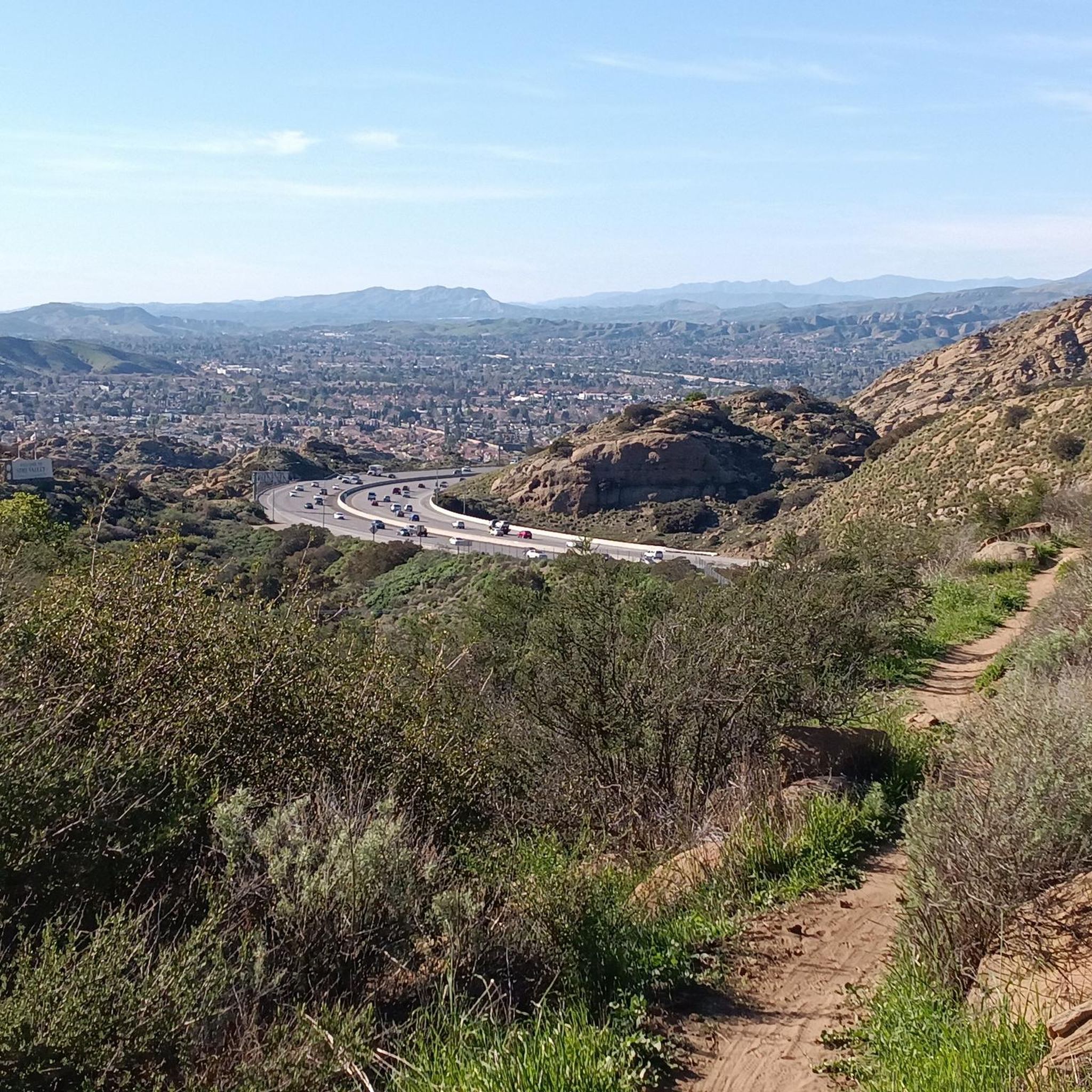
Gravel bike trails in Sage Ranch Park are characterized by diverse terrain, including striking sandstone formations and expansive panoramic views from an elevation of 2,000 feet in the Simi Hills. The park's landscape features coastal sage scrub, chaparral, and oak woodlands, providing varied surfaces for gravel biking. Riders can experience both rural and metropolitan vistas of the Simi Valley, along with views of the Santa Susana Mountains and Santa Monica Mountains. The area offers a mix of trails, from moderate…
Last updated: October 12, 2026
3
riders
36.3km
02:54
680m
680m
Hard gravel ride. Very good fitness required. Mostly paved surfaces. Suitable for all skill levels.
2
riders
Hard gravel ride. Very good fitness required. Mostly paved surfaces. Suitable for all skill levels.

2
riders
41.9km
02:43
500m
500m
Hard gravel ride. Very good fitness required. Mostly paved surfaces. Suitable for all skill levels.
6
riders
54.9km
03:52
700m
700m
Hard gravel ride. Very good fitness required. Mostly paved surfaces. Suitable for all skill levels.
5.0
(2)
24
riders
Hard gravel ride. Very good fitness required. Mostly paved surfaces. Suitable for all skill levels.
Our route recommendations are based on thousands of hikes, rides, and runs completed by other people on komoot.
Start today with a free account
Your next adventure awaits.
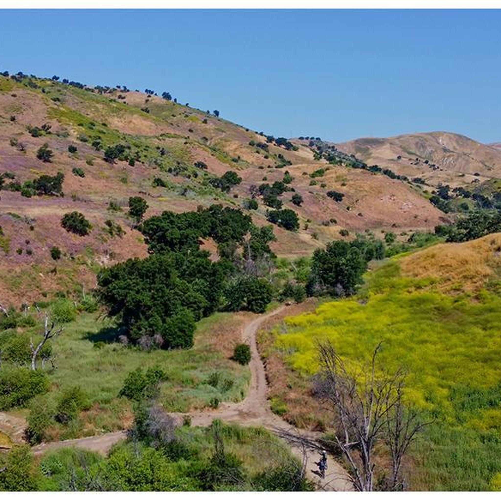
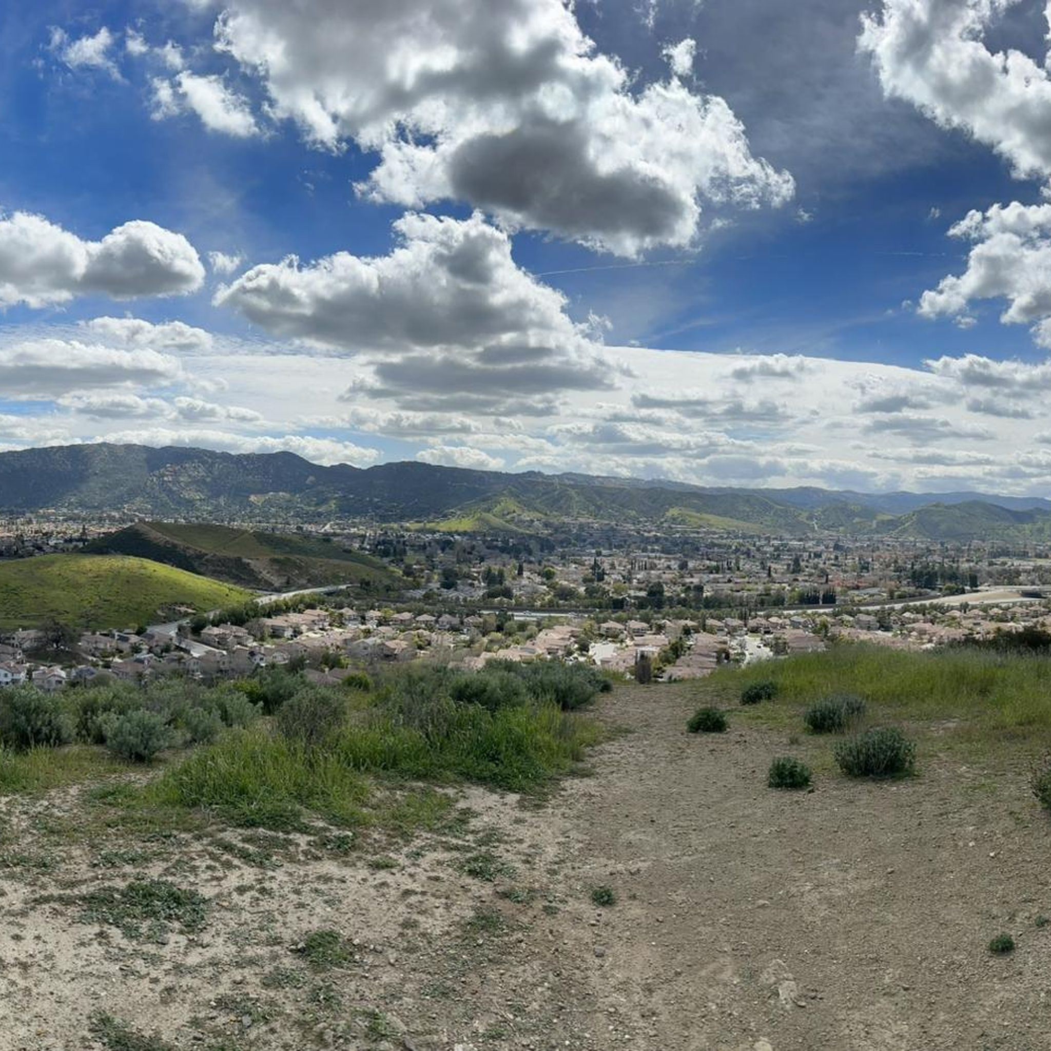
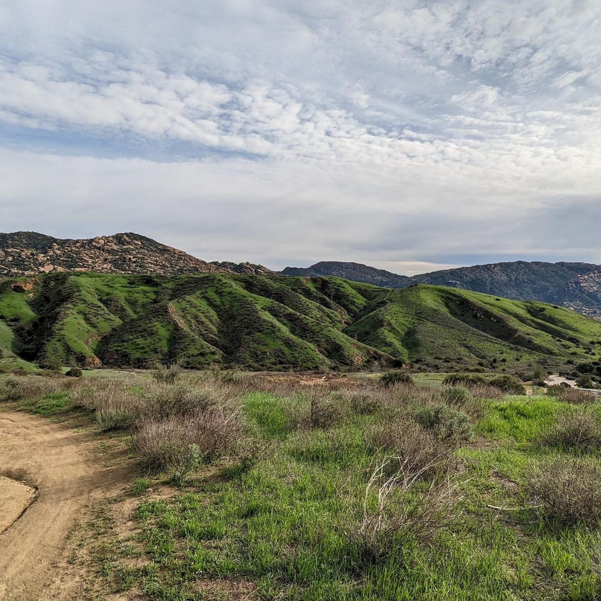
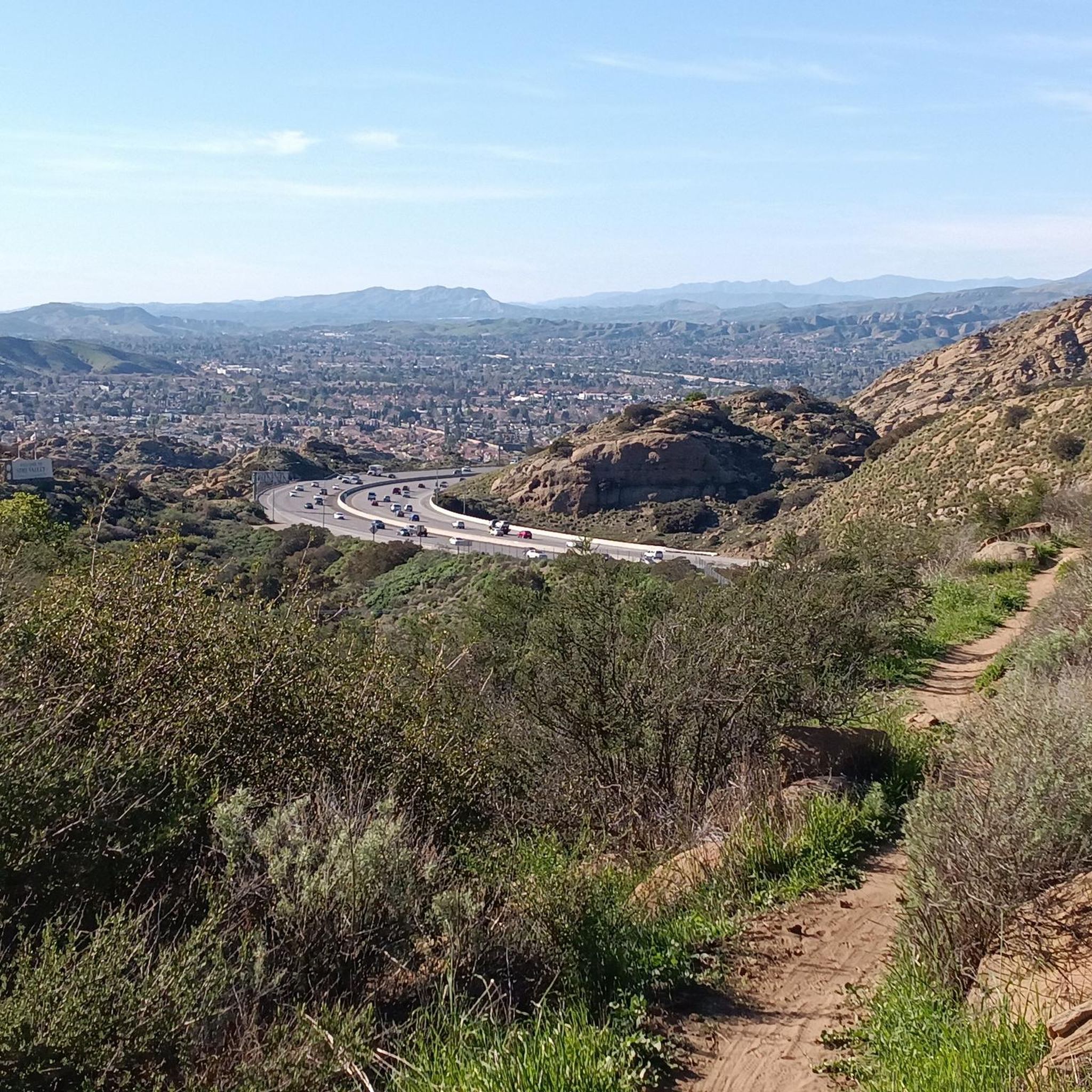
Tips from the Community

This is one of dozens of natural areas preserved around Simi Valley; all told, there are more than 5,600 acres of protected land here.
0
0

China Flat is a scenic plateau at around 2,000 ft elevation. It is full of native oak woodlands, chaparral-covered meadows, and striking sandstone outcroppings. There are several trails that cut through the land.
0
0

Pedalers Fork is a unique combination of a restaurant, bar, coffee shop, and boutique bike shop in the heart of Calabasas. It offers delicious farm-to-table dining and artisan coffee with a casual vibe and a great patio, making it a fantastic place to relax after a ride.
0
0

Multiple different types of trails from hiking to biking to climbing. Water and snacks are needed. Most trails connect back to the entrance
0
0

Cheeseboro Canyon Trailhead features a parking lot, toilets and a water fountain.
0
0

San Vicente Mountain Park, located 2.7 miles west of the 405 freeway on an unpaved section of Mulholland Drive, has awesome 360-degree views and access to extensive hiking, mountain biking, and equestrian trails. The 10.2-acre park has public picnic areas, bathrooms, and is a gateway to Westridge Canyonback Park and the 20,000-acre “Big Wild” wilderness area. A short walk along a wide dirt road leads visitors to this historic site, which once housed a Nike-Ajax missile radar station during the Cold War (1956–1968). The original radar tower now provides panoramic views of the Santa Monica Mountains, Encino Reservoir, San Fernando Valley, and Los Angeles Basin, making it one of the best spots in the region to watch a sunset.
1
0
This is a handy connector trail, used mostly to go downhill from The Hub to the Bent Arrow Trail, or you can keep going all the way to Mulholland Drive with a climb at the very end.
0
0

Your climb up to the ridgeline will be rewarded with an excellent view of the surrounding area.
0
0
Frequently Asked Questions
How many gravel bike trails are available in Sage Ranch Park?
Sage Ranch Park offers a variety of gravel biking experiences, with 8 distinct routes available. These range in difficulty from moderate to difficult, providing options for different skill levels.
Are there any family-friendly gravel bike trails in Sage Ranch Park?
While many routes in Sage Ranch Park are rated moderate to difficult and require good fitness, some portions may be suitable for families with older, experienced riders. The park's diverse terrain and elevation changes mean that even shorter routes can be challenging. It's recommended to review the route details, such as the Victory Trailhead – East Las Virgenes Canyon loop from Fallbrook Center, which is rated moderate, to determine suitability for your family's skill level.
What is the best time of year for gravel biking in Sage Ranch Park?
The park is situated at an elevation of 2,000 feet, offering varied conditions. Springtime is particularly beautiful with lush grass and running springs. However, it's important to be aware of potential heat closures during summer and fire season, which can impact trail access. Checking local weather and park advisories before your visit is always a good idea.
Where can I park when visiting Sage Ranch Park for gravel biking?
Sage Ranch Park provides parking facilities for visitors. Specific trailheads, such as those mentioned in routes like the Victory Trailhead – Cheeseboro Canyon Trail loop from El Escorpion Park, typically have designated parking areas. It's advisable to check the starting point of your chosen route for the most convenient parking options.
Can I reach Sage Ranch Park by public transportation?
Public transportation options directly to Sage Ranch Park are limited. The park is located in the northwestern Simi Hills, making personal vehicle access the most common and convenient way to reach the trailheads. You may need to plan for a ride-share or taxi service from the nearest public transport hubs in Simi Valley.
What kind of scenery and natural features can I expect to see on the gravel bike trails?
Gravel biking in Sage Ranch Park offers stunning scenery. You'll encounter unique and massive sandstone rock formations, caves, and outcroppings, particularly along Sandstone Ridge and Turtle Rock. The park also boasts expansive panoramic views of the Simi Valley, Santa Susana Mountains, and Santa Monica Mountains. On clear days, you might even spot the Pacific Ocean and Channel Islands. The landscape is rich with coastal sage scrub, chaparral, native grasses, and oak woodlands, with a significant riparian area featuring oaks, sycamores, and ferns in the southwest.
Are there any loop trails suitable for gravel biking in Sage Ranch Park?
Yes, many of the gravel biking routes in Sage Ranch Park are designed as loops, allowing you to start and end at the same point. Examples include the popular Albertson Motorway – Nice Trail loop from Simi Valley, which is a challenging 22.6-mile ride, and the Victory Trailhead – Cheeseboro Canyon Trail loop from El Escorpion Park. These loops provide a comprehensive experience of the park's diverse terrain and views.
Are there any beginner-friendly gravel bike routes in Sage Ranch Park?
Most gravel bike routes in Sage Ranch Park are rated moderate to difficult, often requiring good to very good fitness. There are no routes specifically classified as 'easy' in the guide data. Beginners should be prepared for significant elevation gains and varied terrain, and may need to push their bikes on some sections. Consider routes with lower elevation gain and shorter distances, such as the Mary Weisbrock Loop Trail – Las Virgenes Creek loop from Calabasas, which is rated moderate.
What are the most challenging gravel bike routes in Sage Ranch Park?
For experienced gravel bikers seeking a challenge, Sage Ranch Park offers several difficult routes. The Vanalden Cave – Sullivan Canyon Overlook loop from Chatsworth is a demanding 34.1-mile route with over 2,300 feet of elevation gain, making it one of the most strenuous options in the area. These routes often feature steep climbs and technical descents.
Are there any cafes or places to eat near Sage Ranch Park after a ride?
Sage Ranch Park itself is a natural preserve with picnic tables and toilet facilities, but no cafes or restaurants within the park boundaries. However, due to its proximity to Simi Valley, you can find various dining options and cafes a short drive away in the surrounding metropolitan areas to refuel after your gravel biking adventure.
What are the typical trail conditions and elevation gains for gravel biking in the park?
The trails in Sage Ranch Park are characterized by diverse terrain, including gravel, dirt, and rocky sections, reflecting its natural landscape of coastal sage scrub and chaparral. Elevation gains can be significant, with routes often featuring hundreds of meters of ascent. For example, the Albertson Motorway – Nice Trail loop from Simi Valley includes over 2,200 feet of climbing, indicating the challenging nature of many paths.
Are there any specific permits or restrictions for gravel biking in Sage Ranch Park?
While general gravel biking does not typically require special permits, it's always wise to check the official park website for any current restrictions or advisories. Camping is available at ten tent-only sites by advance reservation for organized groups. For detailed information on park rules and any potential closures, especially during fire season or extreme heat, you can consult the official Sage Ranch Park page from the Mountains Recreation & Conservation Authority: mrca.ca.gov/parks/park-listing/sage-ranch-park/.
What do other gravel bikers say about their experience in Sage Ranch Park?
The gravel biking routes in Sage Ranch Park are highly rated by the komoot community, with an average score of 4.3 stars from 3 reviews. Over 40 gravel bikers have used komoot to explore the varied terrain. Reviewers often praise the striking sandstone formations, expansive panoramic views, and the challenging yet rewarding nature of the trails.
Most popular routes in Sage Ranch Park

Get inspired with the komoot mobile app


Explore more
Browse the best Gravel rides in other regions.
