The best gravel rides in Loma Alta Open Space Preserve
4.6
(12)
218
riders
28
rides
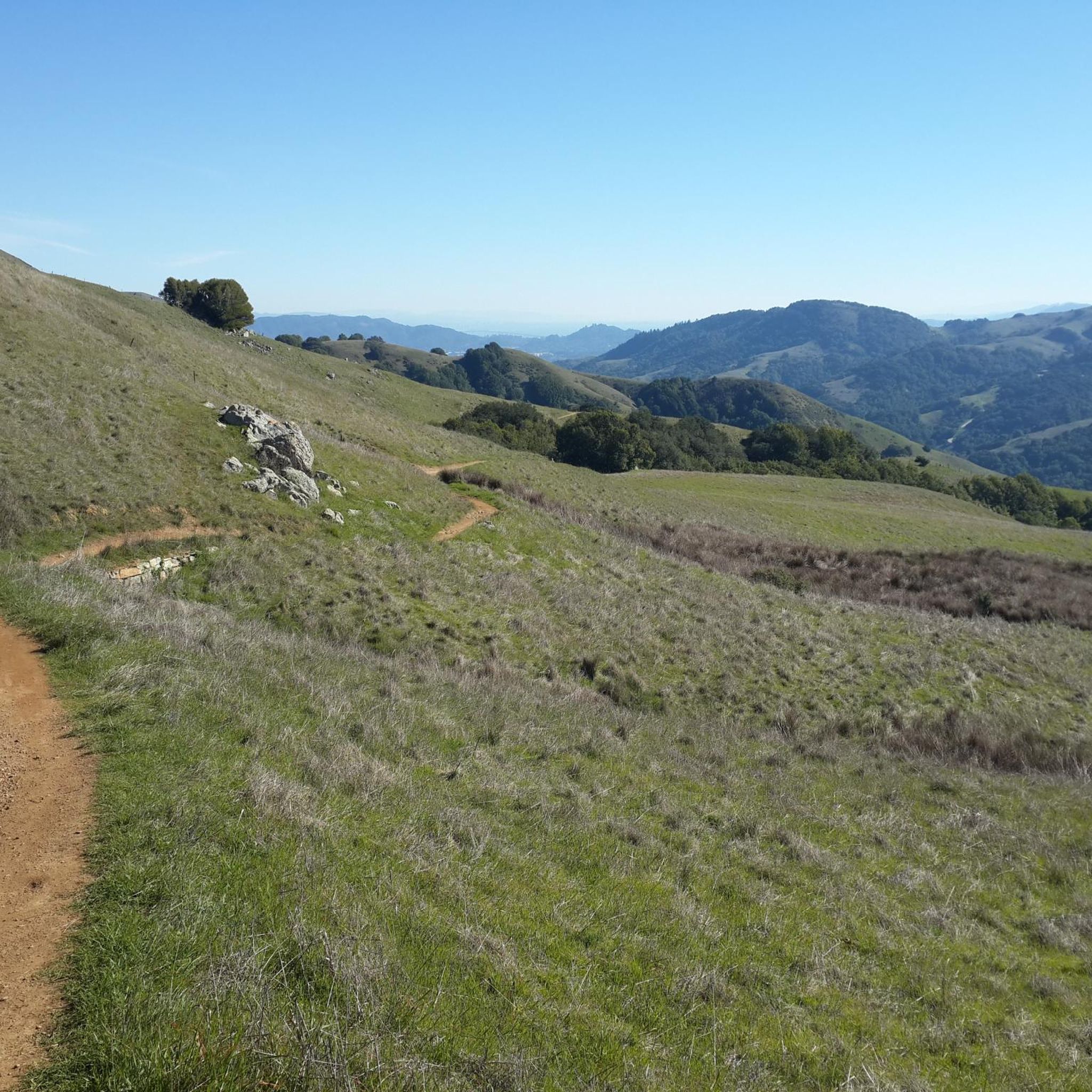
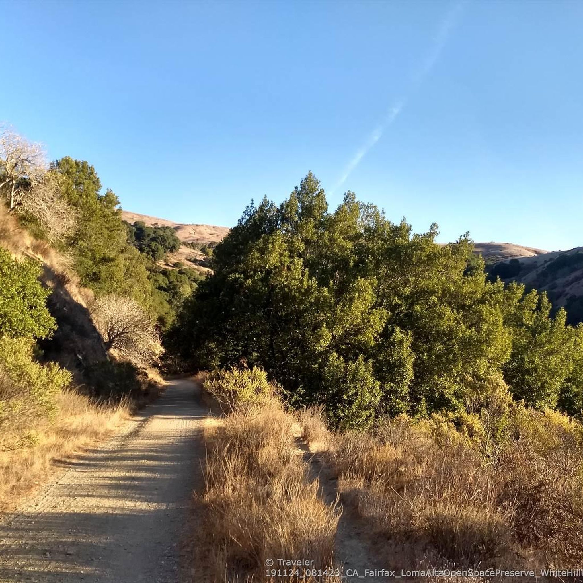
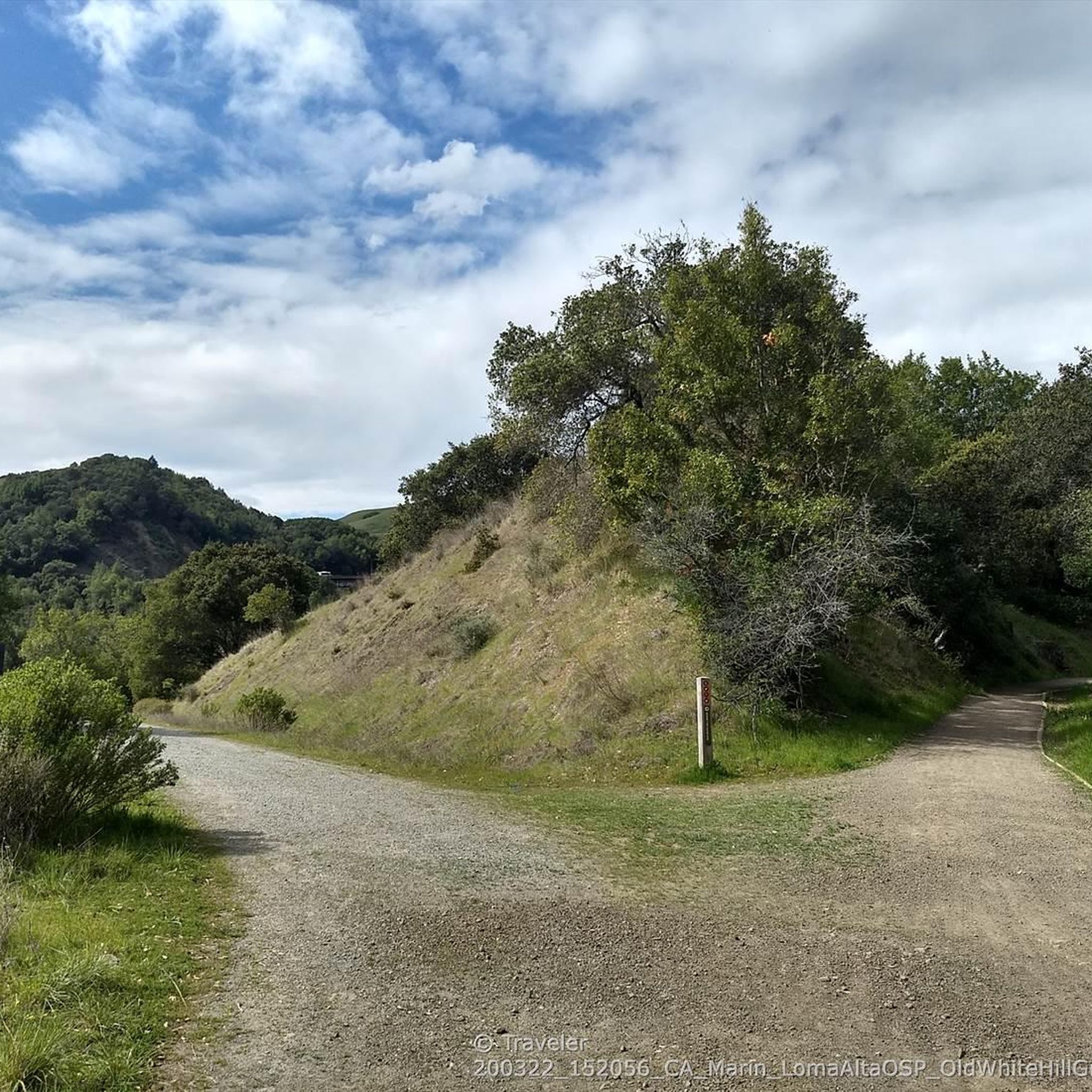
Gravel biking in Loma Alta Open Space Preserve offers diverse terrain across one of Marin County's highest peaks. The preserve features a network of trails winding through wide-open grasslands, dense California bay woods, and woodlands with oak trees. Canyons and creekbeds add topographical interest, providing varied landscapes for gravel cyclists. From its summit, the area provides expansive views of Mount Tamalpais and San Francisco Bay.
Best gravel bike trails in Loma Alta Open Space Preserve
- The most popular gravel bike…
Last updated: October 26, 2026
4.0
(2)
33
riders
56.4km
04:15
960m
960m
Hard gravel ride. Very good fitness required. Mostly paved surfaces.
21
riders
31.3km
02:35
620m
620m
Hard gravel ride. Very good fitness required. Mostly paved surfaces.

3.0
(1)
8
riders
38.6km
03:35
950m
940m
Hard gravel ride. Very good fitness required. Mostly paved surfaces.
9
riders
52.5km
05:00
1,510m
1,500m
Hard gravel ride. Very good fitness required. Mostly paved surfaces.
8
riders
40.6km
03:43
1,040m
1,040m
Hard gravel ride. Very good fitness required. Mostly paved surfaces.
Get access to more routes and recommendations from other explorers.
Already have an account?
Our route recommendations are based on thousands of hikes, rides, and runs completed by other people on komoot.
Start today with a free account
Your next adventure awaits.
Tips from the Community

An absolute must-see for cycling enthusiasts! This museum in Fairfax tells the story of nearly 200 years of cycling history, from 19th-century velocipedes to modern racing bikes. It's also home to the Mountain Bike Hall of Fame, featuring unique specimens and stories about the pioneers of mountain biking. The collection is impressive and authentic—no replicas, but real bicycles that showcase the evolution of technology and design. An inspiring place where you can truly feel the passion for cycling.
1
0

Constructed in 1917 this dam forms Alpine Lake, which sites between Kent and Bon Tempe Lakes. The road across the top of the dam make it a great place to ride on a loop around the lake.
0
0
This lake was formed by the building of Alpine Dam in 1917. It sits between Kent Lake and Bon Tempe Lake, and is popular for a variety of outdoor activities.
0
0

At the junction of Chicken Shack Fire Road and Ponti Ridge Trail. There are benches, a great view, and trail markers.
1
0

West of Lake Lagunitas, Bon Tempe Lake is a reservoir managed by Marin Municipal Water District. It features striking scenery, with lush trees, clear water, and a peaceful atmosphere.
0
0

At this point on Sky Oaks Road, there is a junction with Shaver Grade Road, which connects with a dense network of trails and dirt roads near Bald Hill in the Mount Tamalpais State Park. From here, you can continue on the paved Sky Oaks Road or go arond the gate on to the gravel Shaver Grade Road.
0
0

Steep heading West can have traffic on SFD
0
0
Frequently Asked Questions
How many gravel bike trails are available in Loma Alta Open Space Preserve?
Loma Alta Open Space Preserve offers a wide selection of gravel biking routes, with over 25 trails available for exploration. These routes cater to various skill levels, from moderate to difficult.
What are the best times to go gravel biking in Loma Alta Open Space Preserve?
The preserve offers stunning views, especially at sunrise and sunset. While specific trail conditions vary, the diverse ecosystems and panoramic vistas make it enjoyable throughout the year. On clear days, you might even see the San Francisco skyline.
Are there any family-friendly gravel biking options in Loma Alta Open Space Preserve?
While many trails in Loma Alta Open Space Preserve feature significant elevation gains and challenging sections, there are some moderate options. For a less strenuous ride, consider trails like the Loma Alta Fire Road, which is known for its steady grade and expansive views, offering a good introduction to the preserve's terrain.
Can I bring my dog on the gravel bike trails in Loma Alta Open Space Preserve?
The region's open spaces generally welcome dogs, but it's always best to check specific trail regulations before heading out. Be mindful of wildlife, especially birds nesting in grasslands, and ensure your dog is under control.
What kind of views can I expect while gravel biking in Loma Alta Open Space Preserve?
From the summit of Loma Alta, you'll be treated to breathtaking 360-degree views of Mount Tamalpais, San Francisco Bay, and the surrounding valleys. On clear days, the San Francisco skyline is visible, and the preserve is particularly stunning at sunrise and sunset.
Are there any waterfalls or significant water features in Loma Alta Open Space Preserve?
Yes, in the rainy season, you might witness the impressive Fairfax Falls cascading in a rocky grotto. The preserve also plays a crucial role in dividing four major watersheds, contributing to its diverse natural beauty.
What are some notable landmarks or points of interest along the gravel bike routes?
You can explore historical routes like the Old Railroad Grade Trail, which offers both historical significance and an enjoyable ride quality. Other points of interest include the White Hill — Old Railroad Grade upper trailhead and the White Hill Trailhead.
What are the difficulty levels of gravel biking trails in Loma Alta Open Space Preserve?
The trails range from moderate to difficult. You'll find challenging rides with significant elevation gains, such as the Alpine Dam – Alpine Lake loop from Sleepy Hollow, as well as moderate options like the Phoenix Lake – Fish Gulch trail junction loop from Fairfax.
Are there any loop trails for gravel biking in the preserve?
Yes, many of the gravel biking routes in Loma Alta Open Space Preserve are designed as loops. For example, you can try the Phoenix Lake – Fish Gulch trail junction loop from Fairfax, which takes you through diverse woodlands and open areas.
What do other gravel bikers say about the trails in Loma Alta Open Space Preserve?
The area is highly rated by the komoot community, with an average score of 4.7 stars from over 5 reviews. Reviewers often praise the diverse terrain, stunning panoramic views, and the variety of trails that connect to other open spaces, allowing for extended rides.
Are electric bicycles (e-bikes) permitted on the trails?
Generally, electric bicycles are not permitted on the trails within Loma Alta Open Space Preserve. It's always advisable to check local regulations for specific trail access rules.
Are there any speed limits to be aware of on the trails?
Yes, on designated fire roads and multi-use trails, there are speed limits of 15 mph, which should be reduced to 5 mph when passing other trail users.
Where can I find more information about Loma Alta Open Space Preserve?
For additional information about the preserve, including general visitor guidelines and other activities, you can visit the Marin County Visitor website.
Most popular routes in Loma Alta Open Space Preserve
Most popular attractions in Loma Alta Open Space Preserve

Get inspired with the komoot mobile app


Explore more
Browse the best Gravel rides in other regions.
