The best gravel rides in Monte Puro - Rogedano - Valleremita
4.5
(17)
228
riders
5
rides
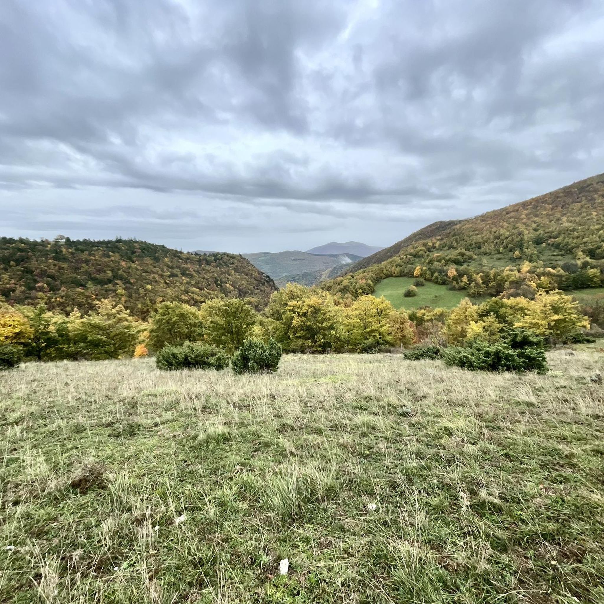
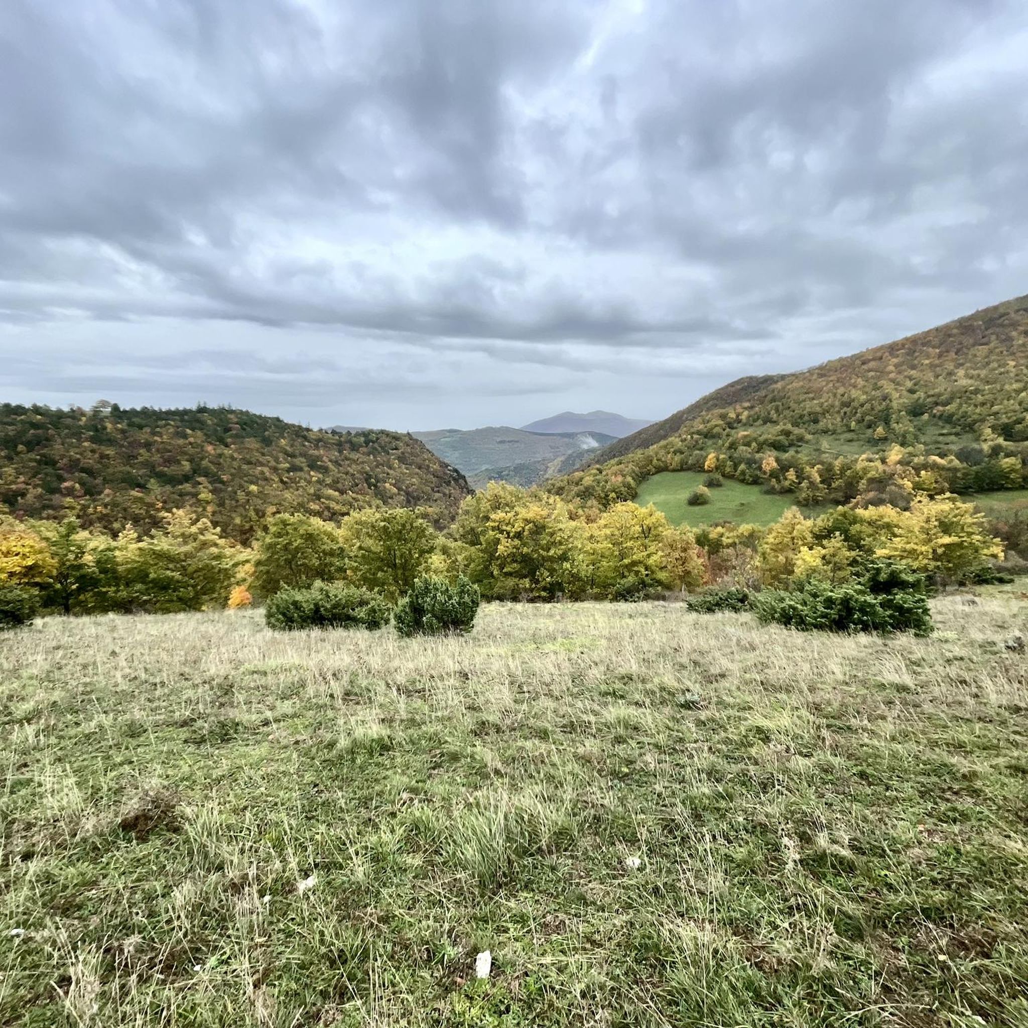
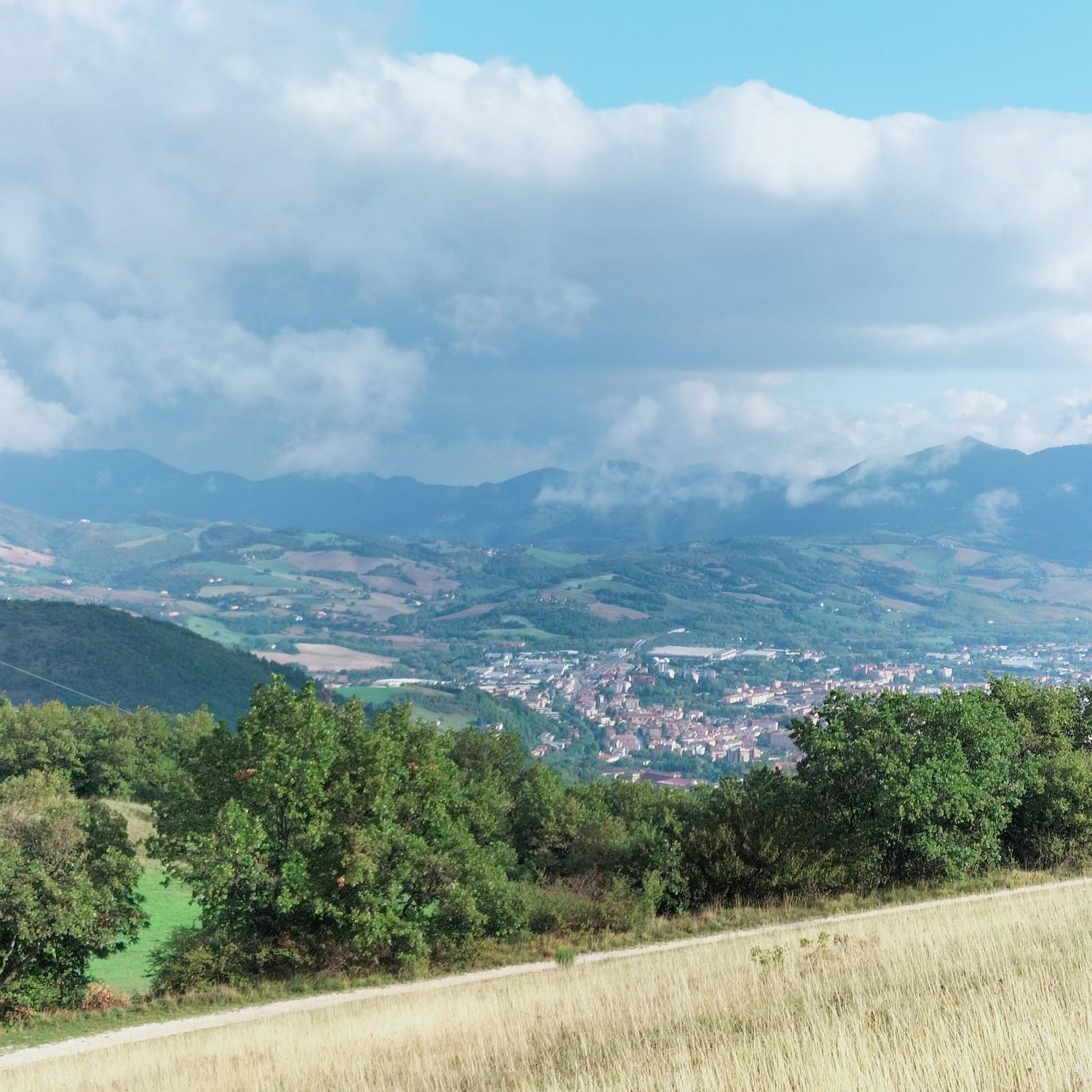
Gravel biking in Monte Puro - Rogedano - Valleremita offers diverse terrain within a Special Area of Conservation in the province of Ancona, Italy. The region features moderate mountains like Monte Puro (1,155 m) and Monte Rogedano (917 m), which define the Valleremita valley. Extensive forested areas, including unique beech forests at low altitudes, cover mountain slopes, while higher elevations present broad grasslands with panoramic views. The landscape includes rocky outcrops, varied paths with ascents and descents, and unpaved surfaces…
Last updated: November 2, 2026
6
riders
32.5km
02:16
720m
720m
Hard gravel ride. Very good fitness required. Mostly paved surfaces.
7
riders
39.0km
02:38
880m
880m
Hard gravel ride. Very good fitness required. Mostly paved surfaces.

6
riders
64.1km
04:42
1,370m
1,370m
Hard gravel ride. Very good fitness required. Mostly paved surfaces.
4.0
(1)
5
riders
30.2km
02:10
520m
520m
Hard gravel ride. Very good fitness required. Mostly paved surfaces.
1
riders
58.4km
03:50
1,000m
1,000m
Hard gravel ride. Very good fitness required. Mostly paved surfaces.
Our route recommendations are based on thousands of hikes, rides, and runs completed by other people on komoot.
Start today with a free account
Your next adventure awaits.
Popular around Monte Puro - Rogedano - Valleremita
Tips from the Community

The tiny, medieval village of Castelletta (a district of Fabriano) is a real hidden gem in the Marche region. It sits like an eagle's nest on a rocky outcrop in the middle of the wild and romantic Gola della Rossa e Frasassi Nature Park. Although the village is tiny, it offers a fascinating mix of history, spectacular views, and exciting outdoor activities: Historic village center & architecture - a small map hangs directly opposite the small Bar Elisa, where you can also stock up on the essentials, Castelletta impresses with its narrow, quaint stone alleys (called Rue) and rows of houses built from local limestone. A walk feels like a little journey back in time; Il Rivellino (the defense tower) is a well-preserved, circular watchtower from the late Middle Ages. It once belonged to the defense system of the Counts of Rovellone. The old city gate: The square southeast gate with its round arch still shows historical defensive features such as loopholes today. and of course: the outdoor & nature highlights! Monte Revellone (841 m) is the local mountain and towers over the village, visible from afar (a small picture at Bar Elisa testifies to this). From the village center, a hiking trail leads up to the summit cross, which offers spectacular panoramic views over the valley and the Apennine chain. The Falesia di Castelletta is a real climbing paradise with steep limestone walls right by the village and is one of the most famous climbing crags (falesia) in the region, attracting sport climbers from all over Italy... Worth discovering...
0
0

Built in the year 1285. The name Sturinalto is derived from the Italian “spinge l’acqua in alto”, which means “the one that pushes water up” – a reference to the then impressively high fountain in the center
2
0

Parco Coppo embodies the true essence of the greenest and most unspoiled Umbria, strategically located at 800 meters above sea level on the slopes of Monte Ingino, overlooking the charming medieval village of Gubbio. Nestled in a lush and vast pine forest, this extraordinary natural oasis combines sport, fresh air, and adventure, proving to be the perfect destination for a regenerating stop during a trekking excursion or for those who love to challenge the trails of the local bike park and the dirt paths in the area. In addition to offering perfect scenery for physical activity, Parco Coppo is a true corner of conviviality, where the strong bond with the territory is expressed in the shade of the pines, amidst large picnic areas and the typical flavors of the Eugubian tradition, such as the famous crescia or truffle-based dishes. An excellent balance between immersion in the woods, outdoor recreation, and well-deserved rest, ideal for recharging your energy and fully enjoying the scenic wonders of the Umbrian Apennines. Parco Coppo is also the ideal place to recharge your e-Bike and earn DINAclub points. Find out how at: dinaclub.repower.com To discover the territory, here is an itinerary ready to be cycled: https://www.komoot.com/tour/2972808313
0
0

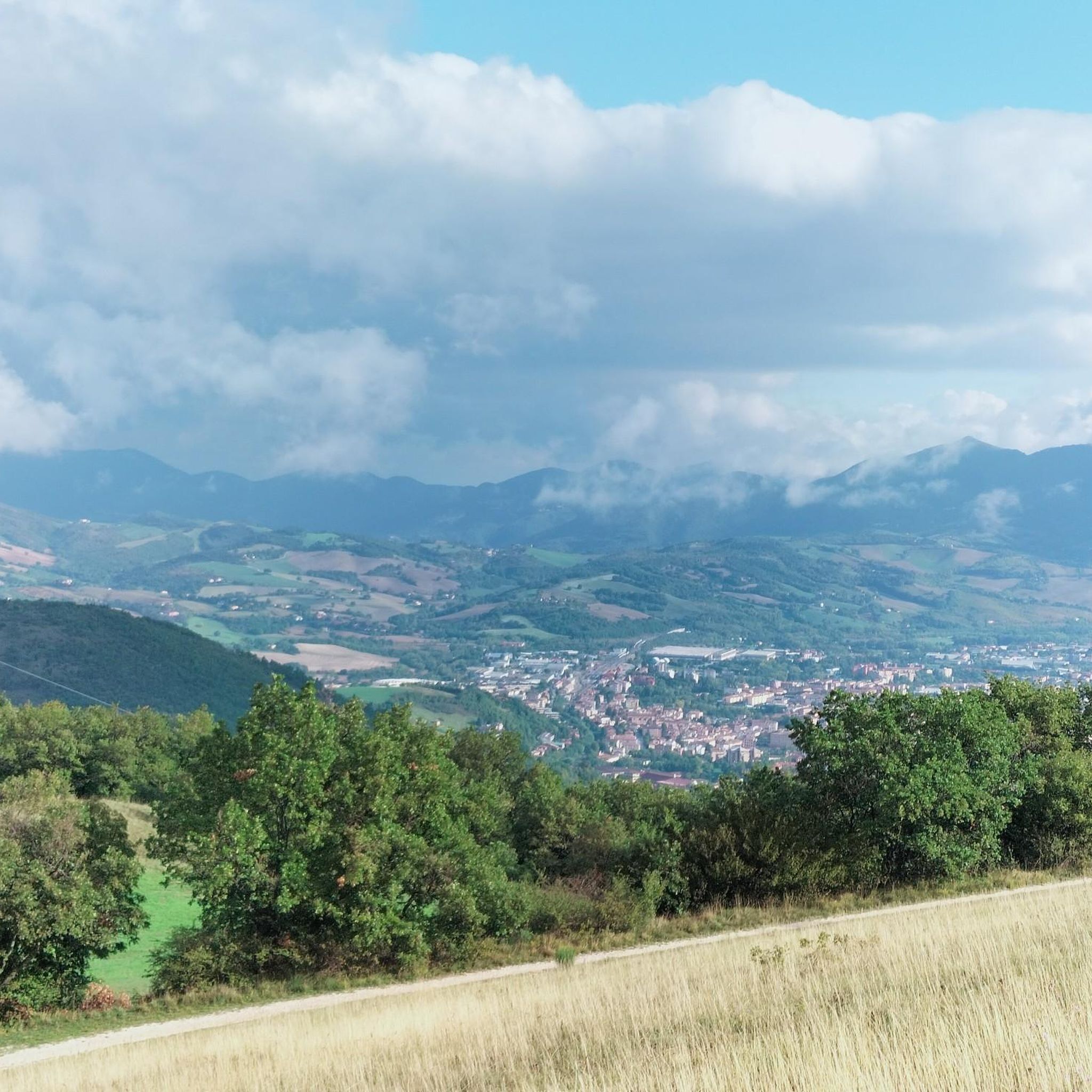
The Giano river that flows through Fabriano
0
0

On single trails. Rocky, flowing, jumpy, fast, technical. -> wonderful
0
0
The original building dates back to the 14th century and was expanded in the 17th century.
2
0
San Giacomo della Marca built this hospital in 1456 as a central facility for the citizens of Fabriano, thus merging several small existing hospitals.
2
0
Frequently Asked Questions
What kind of terrain can I expect on gravel bike trails in Monte Puro - Rogedano - Valleremita?
The region offers a diverse mix of terrain, ideal for gravel biking. You'll encounter extensive forested areas, including unique beech forests, and higher up, broad grasslands with panoramic views. The paths vary from well-defined trails to stony carriage roads ("carrareccia sassosa") and white roads ("strada bianca"), with both ascents and descents. Rocky outcrops also punctuate the landscape, adding to the varied experience.
Are there any historical or natural landmarks to see along the gravel routes?
Yes, the area is rich in points of interest. A notable historical site is the Eremo di Santa Maria di Val di Sasso, a hermitage with roots dating back to 787 AD, which Saint Francis is reputed to have visited. You can also explore the "Aula Verde" (Green Classroom) near Valleremita, an educational naturalistic path within the forest. The summit of Monte Puro itself provides a stunning 360-degree panorama of the Apennine reliefs.
What is the typical difficulty level of gravel bike trails in this region?
The gravel bike trails in Monte Puro - Rogedano - Valleremita are generally considered challenging. For example, routes like Bridge and Riverside Walk – Walk loop from Brosciano and Path to Daini – San Silvestro Monastery loop from Fabriano are rated as difficult, featuring significant elevation changes and varied surfaces. While there are varied paths, many routes cater to those seeking a more demanding ride.
Are there any circular gravel bike routes available?
Yes, loop routes are a popular way to explore the region. For instance, you can find routes that take you from Valleremita to Monte Puro, passing through the Eremo di Santa Maria di Val di Sasso and returning via Piano Marruga and Serromonte, offering diverse environments from forests to panoramic meadows.
What do other gravel bikers say about the trails in Monte Puro - Rogedano - Valleremita?
The area is highly rated by the komoot community, with an average score of 4.0 stars from more than 1 review. Over 20 gravel bikers have used komoot to explore the varied terrain, often praising the diverse woodlands, summital meadows, and challenging stony carriage roads that define the experience.
What is the best time of year for gravel biking in Monte Puro - Rogedano - Valleremita?
Spring and autumn are excellent times for gravel biking. In spring, the summital meadows are vibrant with wildflowers, while autumn offers rich fungi and beautiful foliage. The diverse woodlands provide shaded routes, which can be particularly pleasant during warmer months, though higher elevations offer cooler temperatures and expansive views.
Are there options for longer gravel bike tours in the area?
Yes, there are routes that cater to longer rides. For example, the Basilica of Saint Ubaldo – Gubbio loop from Fossato Di Vico-Gubbio is a substantial 36.2 miles (58.3 km) trail, typically completed in about 4 hours 42 minutes, leading through varied landscapes with expansive views.
Can I find routes suitable for advanced gravel bikers?
Absolutely. The region is well-suited for advanced gravel bikers looking for a challenge. Many routes feature significant elevation gains and technical sections. The Val di Ranco – Silvestrini Memorial loop from Val di Ranco, for instance, covers nearly 50 km with over 1200 meters of elevation gain, providing a demanding experience.
Is there parking available near the trailheads?
While specific parking areas are not detailed for every trailhead, the region is a frequent destination for hiking and mountain biking, suggesting established access points. For routes starting near Valleremita or the Eremo di Santa Maria di Val di Sasso, you can typically find suitable parking in or near these villages.
Are there any gravel routes that offer scenic viewpoints?
Yes, many routes provide stunning scenic viewpoints. The higher elevations, particularly on Monte Puro, open up into broad secondary grasslands that offer expansive views of the surrounding Apennine reliefs, including Monte San Vicino, and the massifs of Catria and Cucco. The summit of Monte Puro itself is known for its 360-degree panorama.
What is the average length and duration of gravel bike routes in Monte Puro - Rogedano - Valleremita?
The routes vary in length and duration. You can find challenging rides like the Poggio San Romualdo – View of Poggio San Romualdo loop from Cerreto d'Esi, which is about 26.6 km long and takes around 2 hours 30 minutes. Longer options, such as the 58.3 km route to Gubbio, can take nearly 5 hours to complete, offering a full day's adventure.
Most popular routes in Monte Puro - Rogedano - Valleremita

Get inspired with the komoot mobile app


Explore more
Browse the best Gravel rides in other regions.
