The best gravel rides in Riserva Naturale Boschi Del Giovetto Di Paline
4.7
(13)
135
riders
20
rides
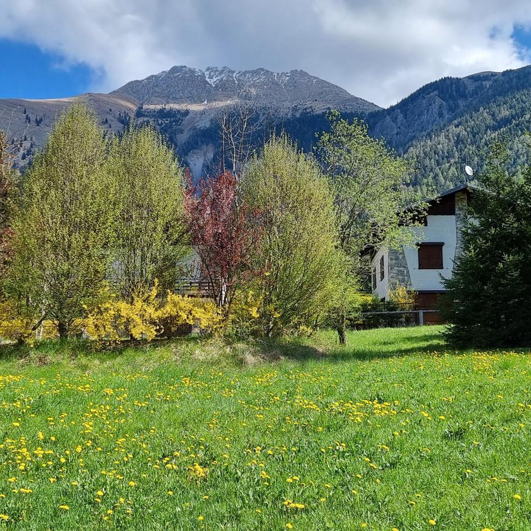
Gravel biking in Riserva Naturale Boschi Del Giovetto Di Paline features a network of unpaved routes, mule tracks, and forest paths. The reserve is characterized by dense coniferous forests, interspersed with meadows and pastures, and spans elevations from approximately 1,000 meters to over 1,900 meters. Situated between the Val di Scalve and Valle Camonica, the terrain includes both dirt roads and trails, offering varied conditions for gravel cyclists. The highest point, Costone, reaches 1937 meters, contributing to significant elevation changes…
Last updated: August 1, 2026
8
riders
160km
11:46
4,010m
4,010m
Hard gravel ride. Very good fitness required. Mostly paved surfaces. Suitable for all skill levels.
5.0
(1)
14
riders
67.6km
05:27
2,180m
2,180m
Hard gravel ride. Very good fitness required. Mostly paved surfaces. Suitable for all skill levels.

Sign up for free
4.0
(3)
28
riders
42.8km
03:17
990m
1,000m
Hard gravel ride. Very good fitness required. Mostly paved surfaces. Suitable for all skill levels.
4.5
(2)
76
riders
54.7km
03:26
480m
470m
Hard gravel ride. Very good fitness required. Mostly paved surfaces. Suitable for all skill levels.
4.5
(2)
36
riders
51.4km
03:48
1,400m
1,400m
Hard gravel ride. Very good fitness required. Mostly paved surfaces. Suitable for all skill levels.
Get access to more routes and recommendations from other explorers.
Sign up for free
Already have an account?
Our route recommendations are based on thousands of hikes, rides, and runs completed by other people on komoot.
Start today with a free account
Your next adventure awaits.
Login or Signup
Popular around Riserva Naturale Boschi Del Giovetto Di Paline
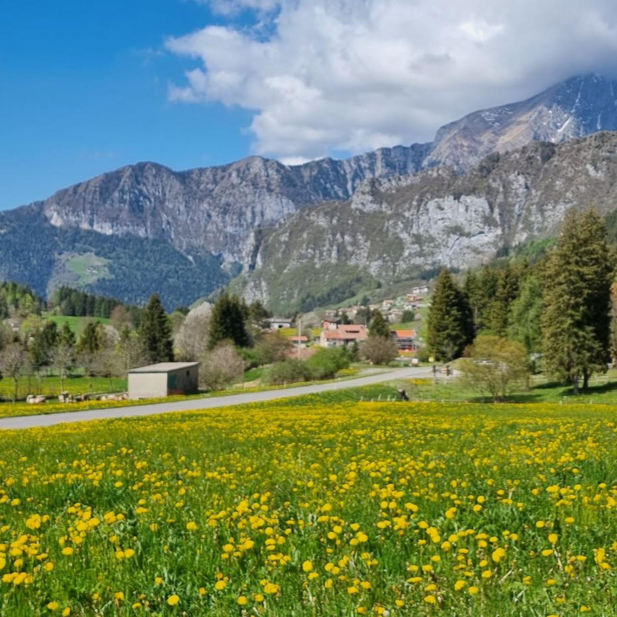
Hiking in Riserva Naturale Boschi Del Giovetto Di Paline
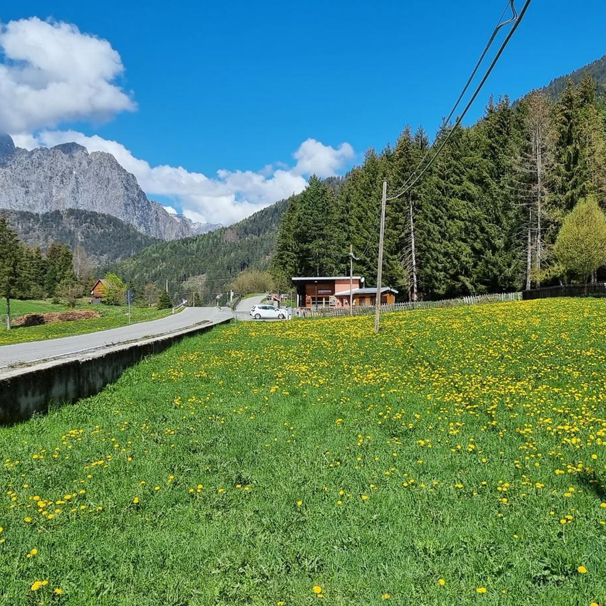
Road Cycling Routes in Riserva Naturale Boschi Del Giovetto Di Paline
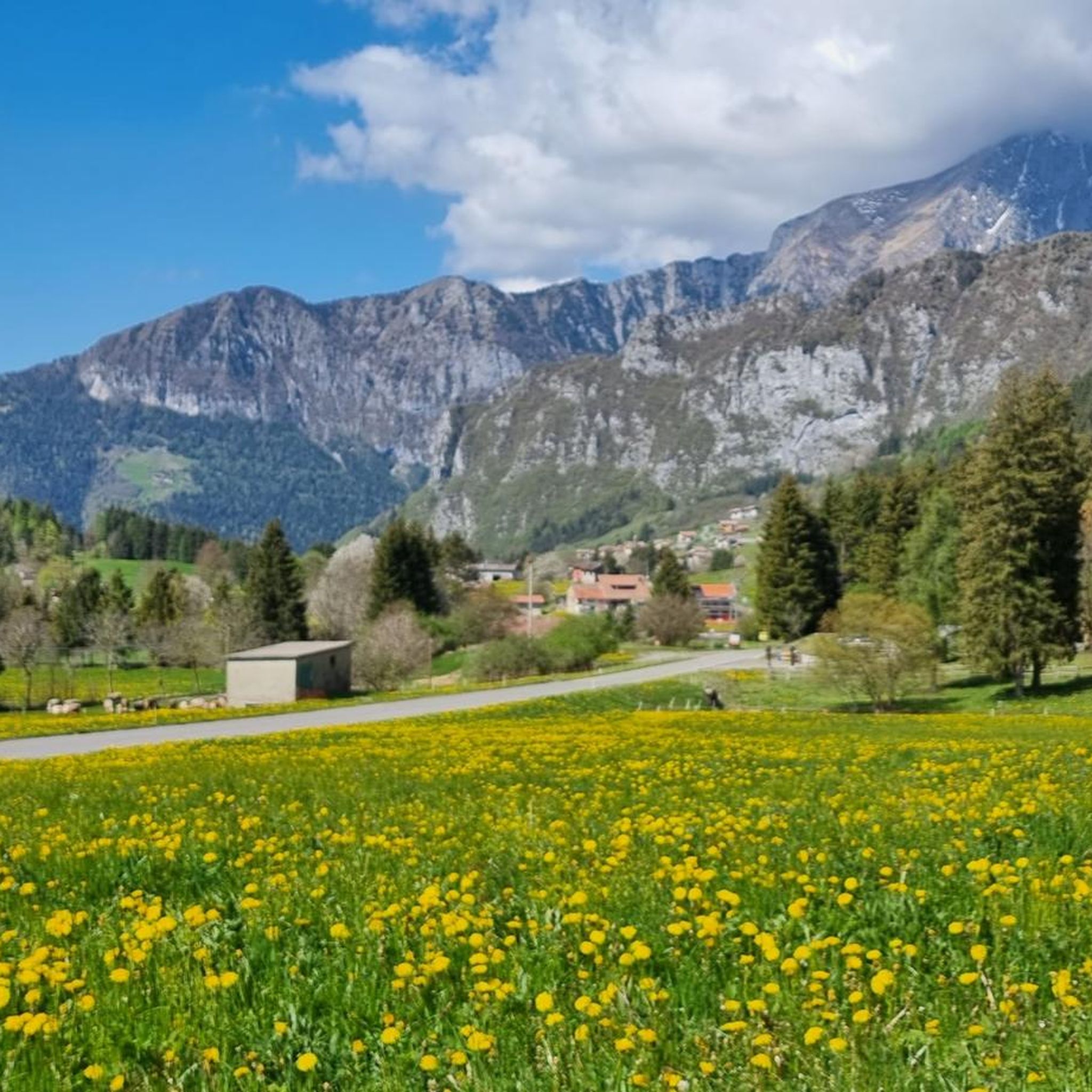
Cycling in Riserva Naturale Boschi Del Giovetto Di Paline
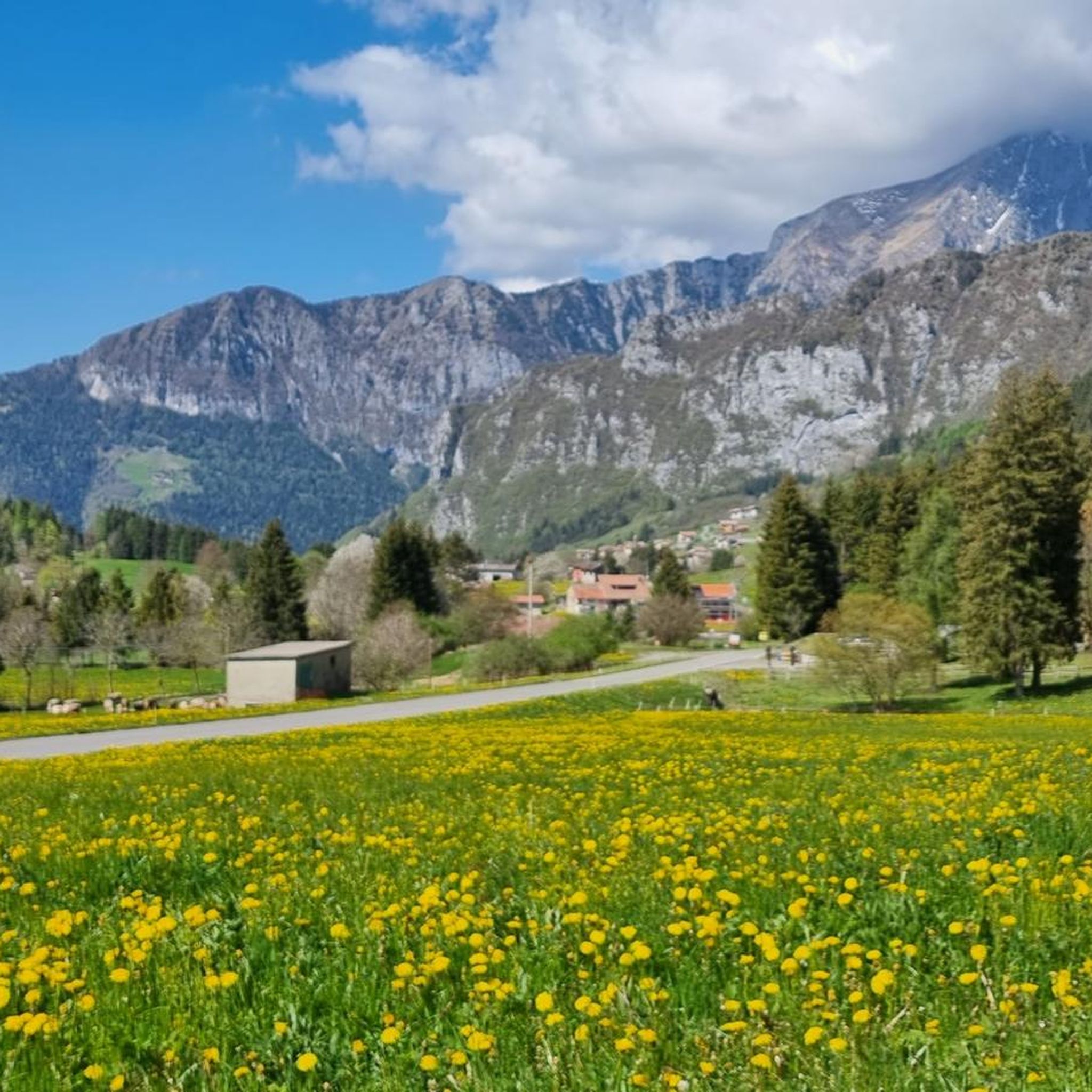
MTB Trails in Riserva Naturale Boschi Del Giovetto Di Paline
Running Trails in Riserva Naturale Boschi Del Giovetto Di Paline

Mountain Hikes in Riserva Naturale Boschi Del Giovetto Di Paline
Tips from the Community

Maniva is a must, it crosses several interesting points where you can cycle at altitude
0
0

Beautiful tour with e-bike, with little portage below the 7 crocette and below the Tita Secchi (old refuge) to go to Pezzeda. Pay attention at the fork for Passo Croce, the path is barely visible. Shortly before reaching the pass, take the path to the right (which I missed) thus avoiding carrying the bike down the rocks.
0
0

Breathtaking panorama, with a sunny day it's fantastic!
0
0

By train to Edolo and then by bike up to Ponte di legno. The next day, departure in four stages to Mantua. Beautiful cycle path. Recommended
0
0

🏔️ Monte Altissimo — Identity and location Monte Altissimo is the highest peak of the short mountain range that separates Bassa Val Camonica and Valle di Scalve. It is known for two very different slopes: North slope (Borno): gentle, wooded, with ski slopes and mountain huts. South slope (Erbanno–Gorzone): steep, rocky, with significant elevation changes. This dual nature is also confirmed by the hiking itineraries documented online . 🚶♂️ The main documented itineraries Online sources show several routes, including: 1) From Croce di Salven – Path 6 (classic loop) Passes through Pozze di Val Sorda, Rifugio Lorenzini, Malga Guccione. A very popular loop itinerary, with a gentle and scenic ascent. Data confirmed by hikr.org (loop with ascent from Croce di Salven) . 2) From Borno – Via Mine e Segable A longer and scenic itinerary, with passages over woods, mountain huts, and ridges. Documented in detail on Wikiloc, with a complete description of path 112 → 151 → 155 . 3) From Erbanno – Path 155 Steep and challenging ascent, with sections on rocky outcrops. Direct connection to the final ridge of the Altissimo. 🏞️ Environment and notable points Sources confirm the places you have already visited: Pozze di Val Sorda: damp and bright clearings. Rifugio Colonnello Ferruccio Lorenzini: in the Pratolungo basin, at 1478 m. Malga Guccione: a passing point before the final ascent. Borno ski slopes: often used for descent on winter loops.
0
0
The Malga di Val Sorda is not a "classic" alpine pasture hut with grazing activities, but a hiking landmark located in the large meadow of Val Sorda, along the paths that lead from Croce di Salven towards Pratolungo, Malga Guccione, and finally Monte Altissimo. Online information describes it as part of the valley's pasture and pool system, crossed by CAI trails 186 and 187. 📍 Location The hut is located in the central pasture of Val Sorda, reached after about 1h10 of walking from Croce di Salven along trail 186. It is a junction point between: trail 186 (towards Pratolungo and Altissimo) trail 187 (steeper, climbs towards the Val Sorda refuge/structure)
0
0

Ciclabile Vello Toline. I did it for the first time today, wonderful. Monte Altissimo, Strada della Forra, Tremalzo and Vello Toline are the routes that left me speechless. Absolutely worth trying.
1
0

A charming cycle and pedestrian path suitable for everyone, both adults and children.
1
0
Frequently Asked Questions
What kind of terrain can I expect on gravel bike trails in Riserva Naturale Boschi Del Giovetto Di Paline?
The reserve offers a diverse mix of terrain, ideal for gravel biking. You'll find unpaved routes, comfortable dirt roads, forest paths, and historic mule tracks. Some sections may include asphalt, but the focus is on natural surfaces. The varied landscape includes dense coniferous forests, open meadows, and significant elevation changes, ranging from around 1,000 meters to over 1,900 meters above sea level.
Are there gravel bike routes suitable for beginners or families in the reserve?
While many routes in Riserva Naturale Boschi Del Giovetto Di Paline are rated as difficult due to significant elevation changes, there are also moderate options available. For example, the Montecchio Roman Bridge – Montecchio Roman Bridge loop from Darfo-Corna is a moderate trail that explores diverse landscapes. It's always best to check the route details for elevation and distance to ensure it matches your group's skill level.
What are some notable natural features or landmarks I might encounter while gravel biking here?
The reserve is rich in natural beauty. You can expect to cycle through extensive high-trunk coniferous forests, including the particularly beautiful 'Paghera' fir forest, and open meadows. The terrain includes valleys like Val Giogna and offers views towards mountain peaks such as Costone, the highest point at 1937 meters. Keep an eye out for the large, dome-shaped nests of the protected *Formica rufa* (red wood ant), which are a unique feature of these forests.
What is the best time of year to go gravel biking in Riserva Naturale Boschi Del Giovetto Di Paline?
The diverse landscapes and varied terrain make the reserve enjoyable across seasons. However, for optimal gravel biking conditions, late spring through early autumn typically offers the most pleasant weather, with trails generally clear of snow and ice. During these months, the forests are lush, and the meadows are vibrant, enhancing the overall experience.
Are there any circular gravel bike routes available in the area?
Yes, many of the gravel biking routes in Riserva Naturale Boschi Del Giovetto Di Paline are designed as loops, allowing you to start and end at the same point. Examples include the challenging Croce di Salven Pass – Malga Valsorda loop from Monte Altissimo and the Monti di Cerveno – Prato Torio loop from Borno, which explores high-altitude forests and pastures.
What kind of wildlife can I expect to see while gravel biking in the reserve?
Riserva Naturale Boschi Del Giovetto Di Paline is home to a variety of wildlife. Beyond the protected red wood ant, you might spot squirrels, hares, roe deer, red deer, foxes, martens, and weasels. The reserve also hosts approximately 40 species of nesting birds. Cycling quietly increases your chances of observing these animals in their natural habitat.
Where can I park my car to access the gravel bike trails?
The reserve can be conveniently accessed by car from towns like Azzone and Borno (near Croce di Salven). From Azzone, a comfortable dirt road leads to 'Segheria' (Rasega) and further into the reserve towards Giovetto di Paline. These access points typically offer parking options, allowing you to start your gravel biking adventure.
Are there any places to rest or have a picnic along the trails?
Yes, the area around Giuadel offers a designated picnic area, providing a pleasant spot for visitors to rest and enjoy a meal amidst nature. It's a good idea to carry sufficient water and snacks, especially on longer routes, as amenities might be sparse in more remote sections.
What do other gravel bikers say about their experience in Riserva Naturale Boschi Del Giovetto Di Paline?
The gravel biking routes in Riserva Naturale Boschi Del Giovetto Di Paline are highly rated by the komoot community, with an average score of 4.75 stars from over 13 reviews. Cyclists often praise the immersive natural environment, the challenging yet rewarding terrain, and the opportunity to explore away from traffic.
Are dogs allowed on the gravel bike trails in Riserva Naturale Boschi Del Giovetto Di Paline?
While the region is generally welcoming to outdoor activities, specific regulations regarding dogs in nature reserves can vary. It's advisable to keep dogs on a leash to protect the local wildlife, especially given the presence of protected species like the *Formica rufa* and various mammals. Always check local signage for any specific restrictions.
What is the general difficulty level of gravel biking in this region?
Gravel biking in Riserva Naturale Boschi Del Giovetto Di Paline ranges from moderate to difficult. Out of 14 available routes, 11 are classified as difficult, featuring significant elevation changes and varied terrain. The remaining 3 routes are moderate, offering less strenuous options. Riders should be prepared for climbs and descents on unpaved surfaces.
Can I find accommodation or places to eat near the reserve?
The towns of Borno and Azzone, which serve as access points to the reserve, offer options for accommodation and dining. You can find local restaurants and cafes in these areas to refuel before or after your ride. It's recommended to check availability and opening hours, especially during off-peak seasons.
Most popular routes in Riserva Naturale Boschi Del Giovetto Di Paline
Most popular attractions in Riserva Naturale Boschi Del Giovetto Di Paline

Get inspired with the komoot mobile app


Explore more
Browse the best Gravel rides in other regions.
