Amperauen Mit Leitenwälder Zwischen Fürstenfeldbruck Und Schöngeising
Amperauen Mit Leitenwälder Zwischen Fürstenfeldbruck Und Schöngeising
The best gravel rides in Amperauen Mit Leitenwälder Zwischen Fürstenfeldbruck Und Schöngeising
4.5
(119)
540
riders
111
rides
Gravel biking in Amperauen Mit Leitenwälder Zwischen Fürstenfeldbruck Und Schöngeising offers diverse natural landscapes and well-suited paths. The region is characterized by the Amper River, its floodplains, and accompanying hillside forests known as Leitenwälder. Paths primarily consist of gravel, field, and meadow paths, alongside small paved roads with minimal traffic, providing varied terrain for gravel cyclists. This area is designated as a nature reserve and forms part of the Natura 2000 FFH area.
Best gravel bike trails in Amperauen Mit…
Last updated: July 11, 2026
4.0
(3)
8
riders
71.0km
04:24
390m
390m
Hard gravel ride. Good fitness required. You may need to push your bike for some segments of this route.
3.0
(1)
8
riders
Moderate gravel ride. Good fitness required. Mostly paved surfaces. Suitable for all skill levels.

Sign up for free
5.0
(1)
5
riders
Easy gravel ride. Great for any fitness level. Mostly paved surfaces. Suitable for all skill levels.
3.0
(1)
5
riders
75.0km
04:27
560m
560m
Hard gravel ride. Very good fitness required. You may need to push your bike for some segments of this route.
4.7
(3)
13
riders
27.6km
01:32
240m
240m
Moderate gravel ride. Good fitness required. Mostly paved surfaces. Suitable for all skill levels.
Get access to more routes and recommendations from other explorers.
Sign up for free
Already have an account?
Our route recommendations are based on thousands of hikes, rides, and runs completed by other people on komoot.
Start today with a free account
Your next adventure awaits.
Login or Signup
Popular around Amperauen Mit Leitenwälder Zwischen Fürstenfeldbruck Und Schöngeising
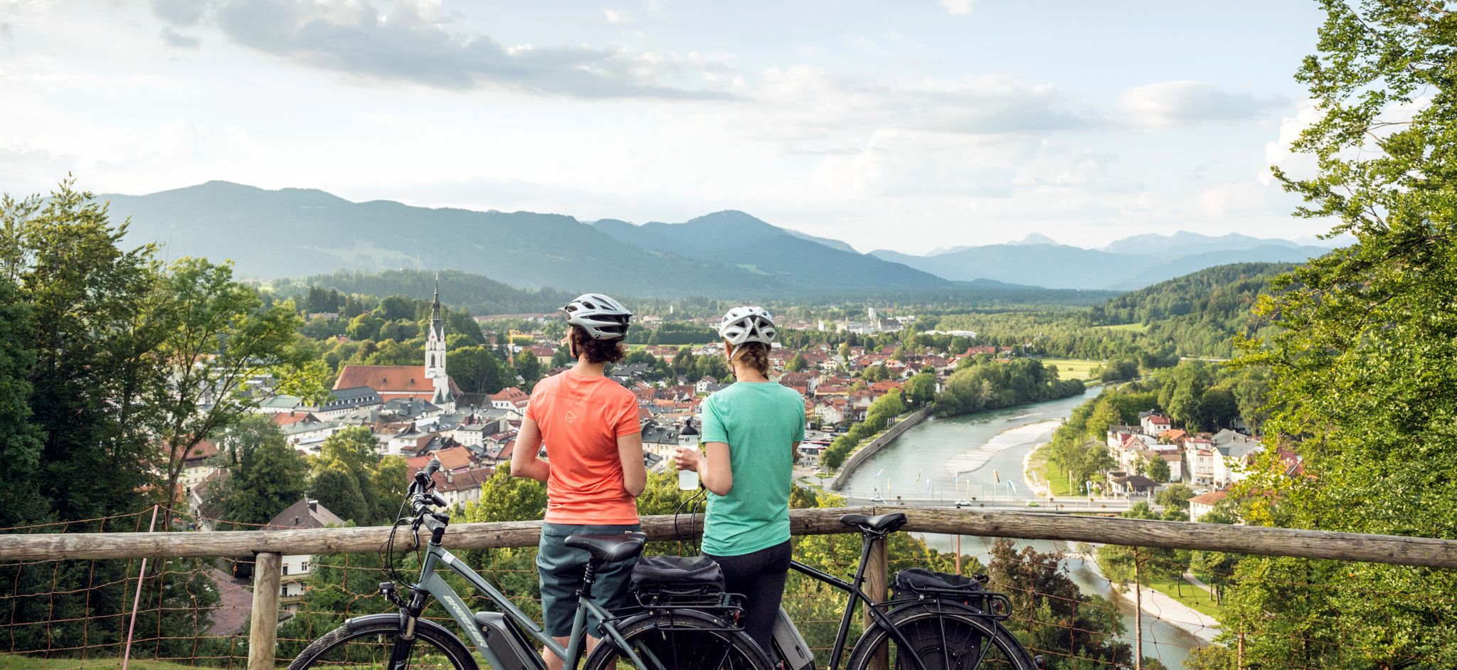
The Art Loop — Wasser-Radlwege Oberbayern
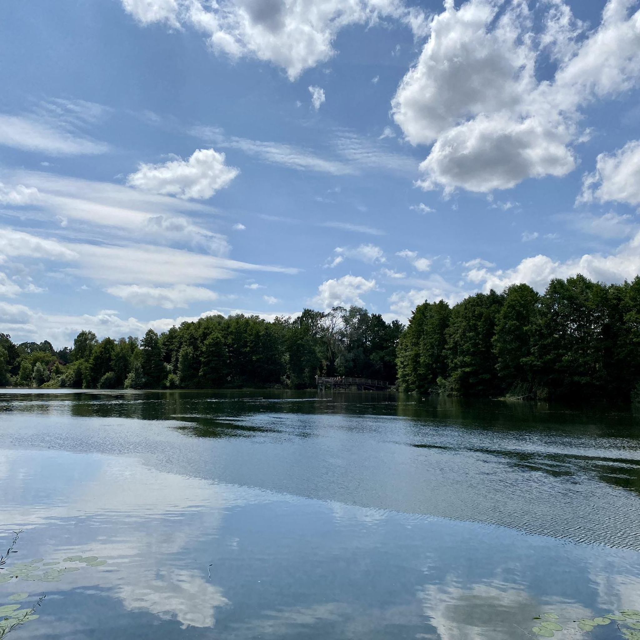
Hiking in Amperauen Mit Leitenwälder Zwischen Fürstenfeldbruck Und Schöngeising
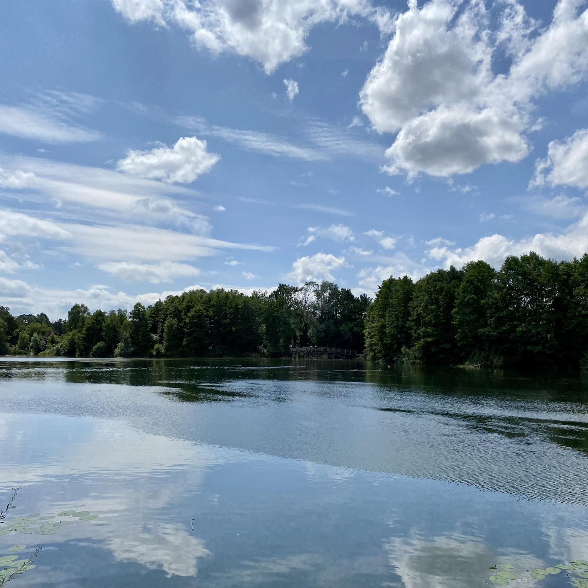
Cycling in Amperauen Mit Leitenwälder Zwischen Fürstenfeldbruck Und Schöngeising
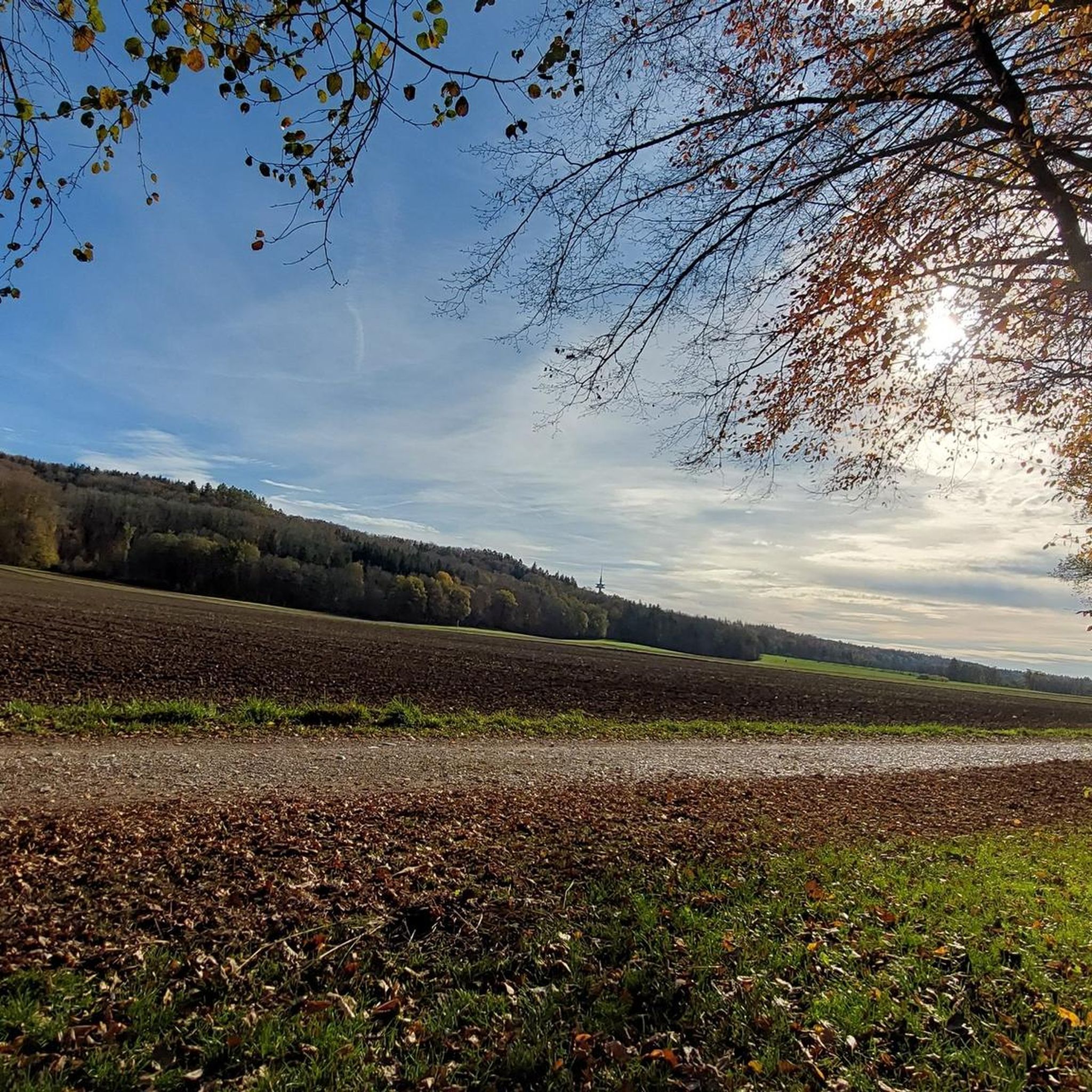
Running Trails in Amperauen Mit Leitenwälder Zwischen Fürstenfeldbruck Und Schöngeising
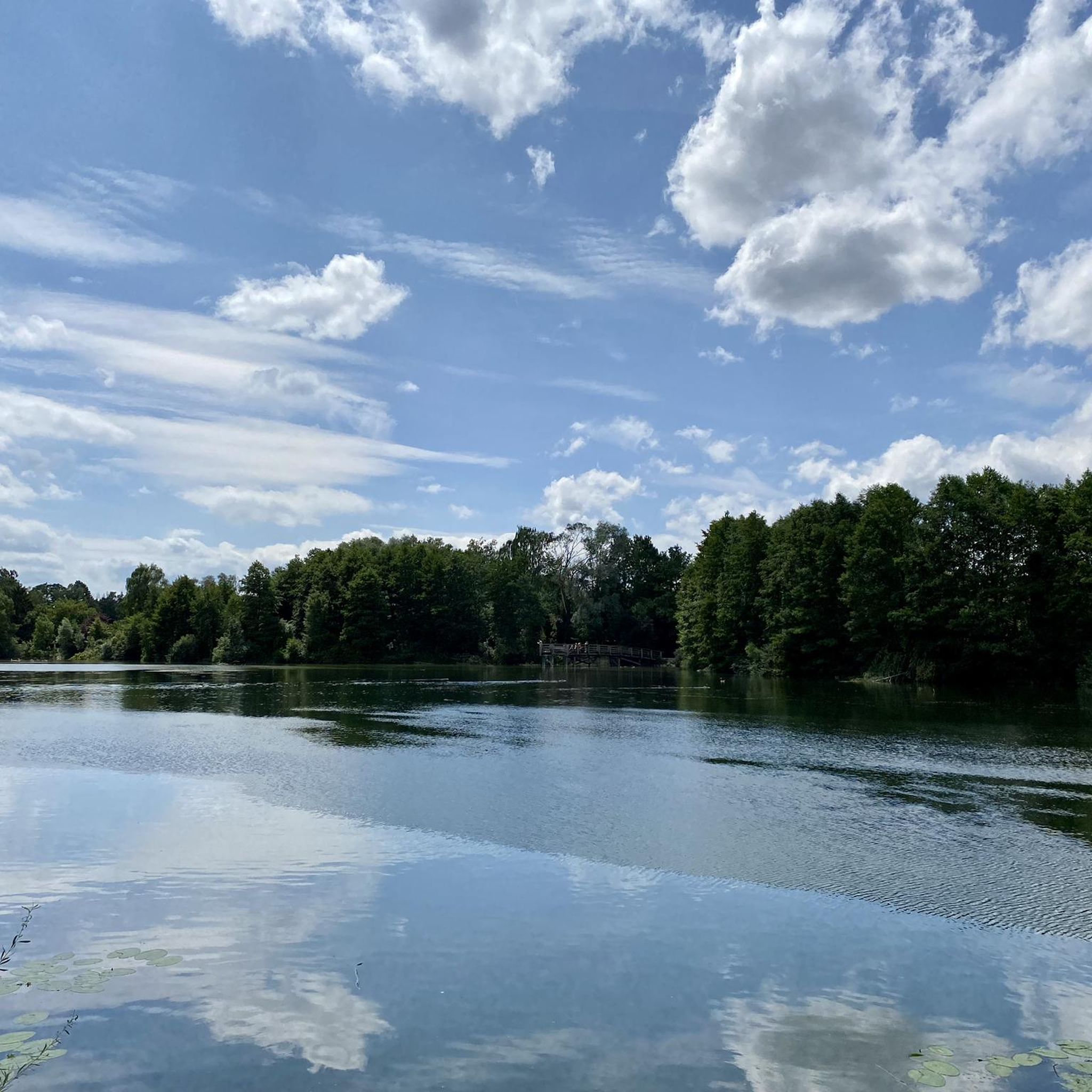
Road Cycling Routes in Amperauen Mit Leitenwälder Zwischen Fürstenfeldbruck Und Schöngeising
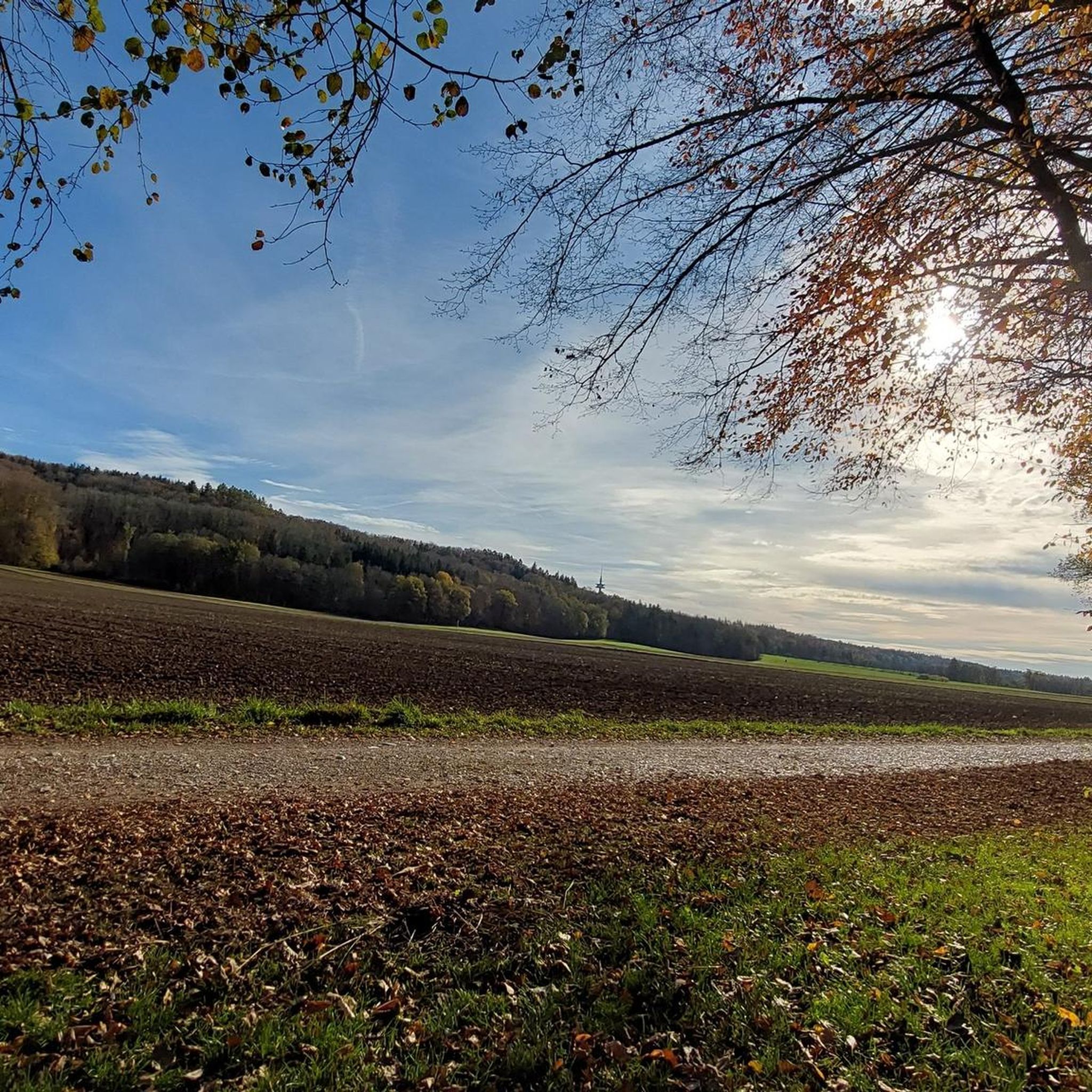
MTB Trails in Amperauen Mit Leitenwälder Zwischen Fürstenfeldbruck Und Schöngeising
Other adventures in Amperauen Mit Leitenwälder Zwischen Fürstenfeldbruck Und Schöngeising

Tips from the Community

When you have this view, you know it's not far until snack time.
0
0

Cycle path along the Paar River
0
0

every little street is entered as a highlight 🙈
0
0

The name of the route is not entirely accurate. It starts at the Puch crossroads via the B2. Then it goes through the Rothschwaige forest. It ends at the Schöngeising <-> Landsberiet state road.
0
0

Well-maintained path to the monastery
0
0

The panoramic trail leads from Villenstrasse Süd to Johannishöhe. In the foreground, the view sweeps over the Höfner Church and the Rasso Church in Grafrath, the Unteralting Church, the onion dome of St. Valentin in Kottgeisering, and in the background, the Andechs Monastery Church on the "Holy Mountain" above Herrsching. On a clear day, a magnificent view of the entire panorama of the Bavarian Alps opens up. Source: Information board at the site
1
0


Frequently Asked Questions
How many gravel bike trails are available in Amperauen Mit Leitenwälder Zwischen Fürstenfeldbruck Und Schöngeising?
The region offers a wide variety of gravel biking experiences, with over 220 routes available. These range from easy to difficult, ensuring there's a suitable trail for every skill level.
What kind of terrain can I expect on the gravel bike trails in this region?
You'll find a diverse mix of surfaces ideal for gravel biking. Routes primarily consist of well-maintained gravel paths ("Kieswege"), field paths ("Feldwege"), and meadow paths ("Wiesenwege"), alongside small paved roads with minimal traffic. The Amper-Radweg (Amper cycle path) between Fürstenfeldbruck and Schöngeising is particularly well-suited for gravel.
Are there gravel trails suitable for beginners or more experienced riders?
Yes, the Amperauen offers trails for all abilities. There are 49 easy routes, 134 moderate routes, and 41 difficult routes. For an easy-to-moderate experience, consider the Sacred Heart Church, St. Ottilien – St. Ottilien Archabbey loop from Buchenau. If you're looking for a more challenging ride, the Cycle path along the Paar River – Haspelmoor Road loop from Buchenau offers extensive river paths and varied terrain over a longer distance.
What natural features will I encounter while gravel biking in the Amperauen?
The region is defined by the Amper River, featuring gravelly flat banks, oxbow lakes, and small islands. You'll also ride through the shaded hillside forests known as Leitenwälder, and expansive meadows and fields, offering a tranquil and picturesque experience.
Are there any scenic viewpoints along the gravel routes?
Many routes offer beautiful vistas. For example, the Forest Path Aich–Schöngeising – View of the Alps and Ammersee loop from Buchenau provides stunning views of the Alps and Ammersee. Another route, the Trail Along the Amper River – View of Andechs Abbey loop from Buchenau, offers glimpses of the historic Andechs Abbey.
What cultural or historical landmarks can I explore near the gravel trails?
You can visit the impressive baroque St. Vitus Chapel at Zellhof near Schöngeising, nestled in a charming setting with ancient oak trees. Kloster Fürstenfeld, a magnificent Baroque monastery with its church St. Mariä Himmelfahrt, is also a significant cultural landmark and a common starting point for excursions.
Is the Amperauen Mit Leitenwälder Zwischen Fürstenfeldbruck Und Schöngeising area suitable for family gravel biking?
Yes, the area is generally family-friendly, especially on the well-maintained gravel and meadow paths. The diverse terrain and numerous picnic spots along the routes make it enjoyable for families. Always check the difficulty rating of specific routes to ensure they match your family's experience level.
Are dogs allowed on the gravel trails in the Amperauen nature reserve?
As a nature reserve, specific rules apply to protect the diverse flora and fauna. While dogs are generally welcome, they must be kept on a leash at all times, especially in sensitive areas, to avoid disturbing wildlife. Please respect local signage and regulations.
What is the best time of year for gravel biking in this region?
The Amperauen is enjoyable for gravel biking through much of the year. Spring and autumn offer pleasant temperatures and beautiful scenery with changing foliage. Summer is also popular, with the Amper River providing opportunities for cooling down. During winter, some paths might be muddy or icy, so checking local conditions is advisable.
Where can I park my car when visiting the gravel trails?
Fürstenfeldbruck and Schöngeising, as common starting points, offer various parking options. Kloster Fürstenfeld often has parking available and serves as a convenient base for many routes. Look for designated parking areas near trailheads or public transport hubs in these towns.
Can I reach the gravel trails using public transport?
Yes, Fürstenfeldbruck is well-connected by public transport, making it accessible without a car. From there, you can easily reach various starting points for the gravel trails. Schöngeising also has public transport connections, allowing for flexible travel to and from the Amperauen.
What do other gravel bikers enjoy most about gravel biking in Amperauen Mit Leitenwälder Zwischen Fürstenfeldbruck Und Schöngeising?
The area is highly rated by the komoot community, with an average score of 4.5 stars from over 200 reviews. Reviewers often praise the diverse and well-maintained gravel paths, the picturesque natural landscapes along the Amper River, and the peaceful atmosphere of the Leitenwälder. The combination of natural beauty and varied terrain makes it a favorite among local gravel bikers.
Most popular routes in Amperauen Mit Leitenwälder Zwischen Fürstenfeldbruck Und Schöngeising
Most popular attractions in Amperauen Mit Leitenwälder Zwischen Fürstenfeldbruck Und Schöngeising

Get inspired with the komoot mobile app


Explore more
Browse the best Gravel rides in other regions.
