Auenwälder Und Feuchtwiesen Westlich Von Ötigheim
Auenwälder Und Feuchtwiesen Westlich Von Ötigheim
The best gravel rides in Auenwälder Und Feuchtwiesen Westlich Von Ötigheim
4.4
(56)
323
riders
95
rides
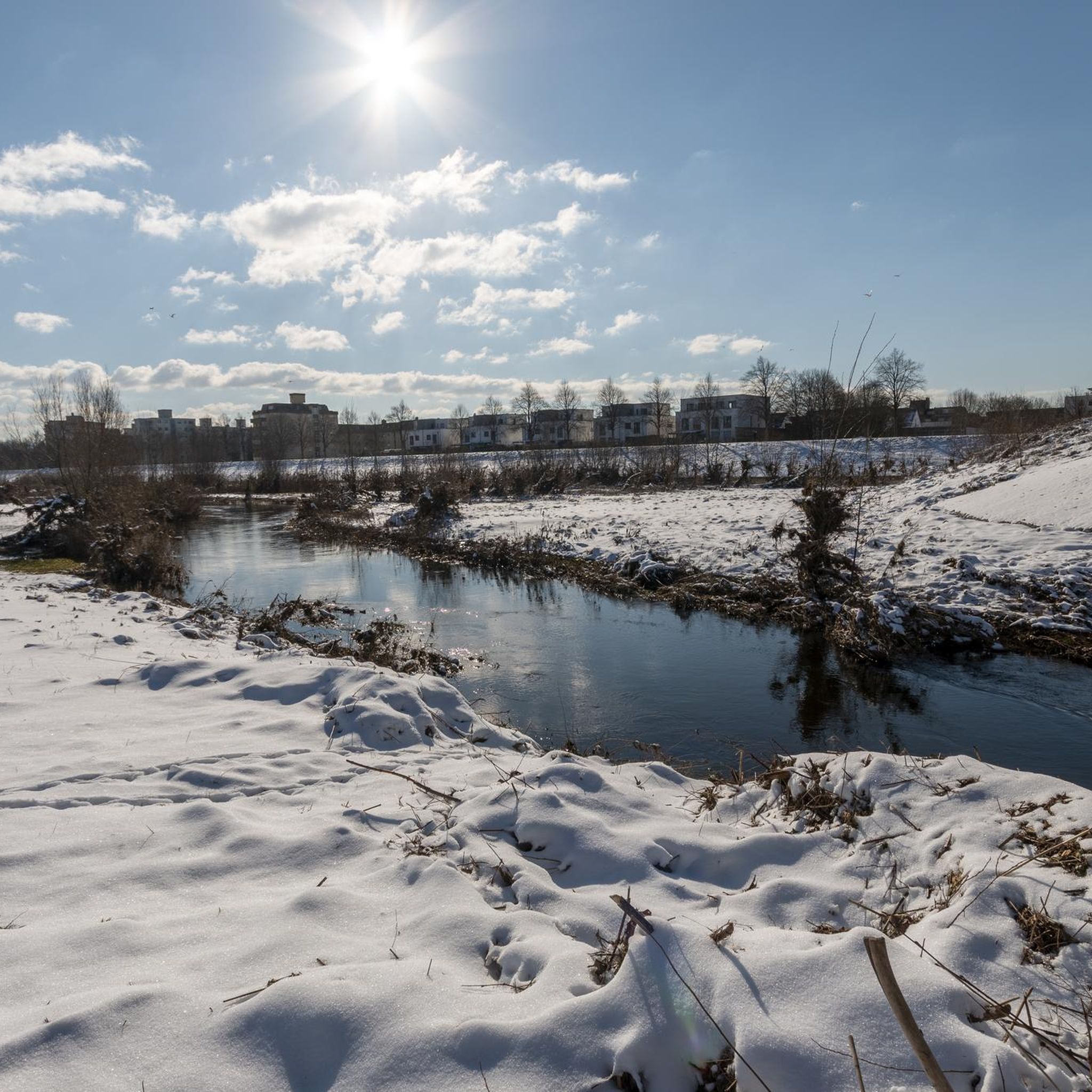
Gravel biking in Auenwälder Und Feuchtwiesen Westlich Von Ötigheim offers diverse terrain through a combined nature and landscape conservation area. This region is characterized by extensive alluvial forests and wet meadows, shaped by the Federbach stream and ancient river systems. The landscape features a varied relief of deep hollows and high ridges, with generally flat topography and minimal elevation gain. Riders can expect a mix of unpaved paths through forested areas and open trails across meadows, providing varied surfaces for…
Last updated: July 30, 2026
4.8
(12)
47
riders
Moderate gravel ride. Good fitness required. Mostly paved surfaces. Suitable for all skill levels.
3.5
(2)
9
riders
72.9km
04:42
1,090m
1,090m
Hard gravel ride. Very good fitness required. You may need to push your bike for some segments of this route.

Sign up for free
6
riders
28.7km
01:34
200m
200m
Moderate gravel ride. Good fitness required. Mostly paved surfaces. Suitable for all skill levels.
4.4
(5)
26
riders
Moderate gravel ride. Good fitness required. Mostly paved surfaces. Suitable for all skill levels.
4.0
(1)
9
riders
Easy gravel ride. Great for any fitness level. Mostly paved surfaces. Suitable for all skill levels.
Get access to more routes and recommendations from other explorers.
Sign up for free
Already have an account?
Our route recommendations are based on thousands of hikes, rides, and runs completed by other people on komoot.
Start today with a free account
Your next adventure awaits.
Login or Signup
Popular around Auenwälder Und Feuchtwiesen Westlich Von Ötigheim
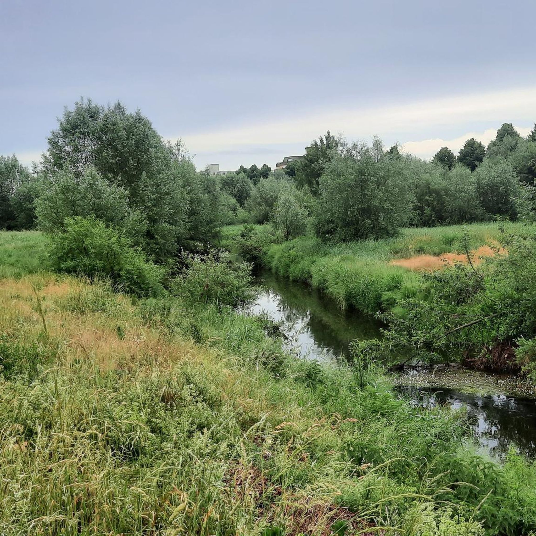
Cycling in Auenwälder Und Feuchtwiesen Westlich Von Ötigheim
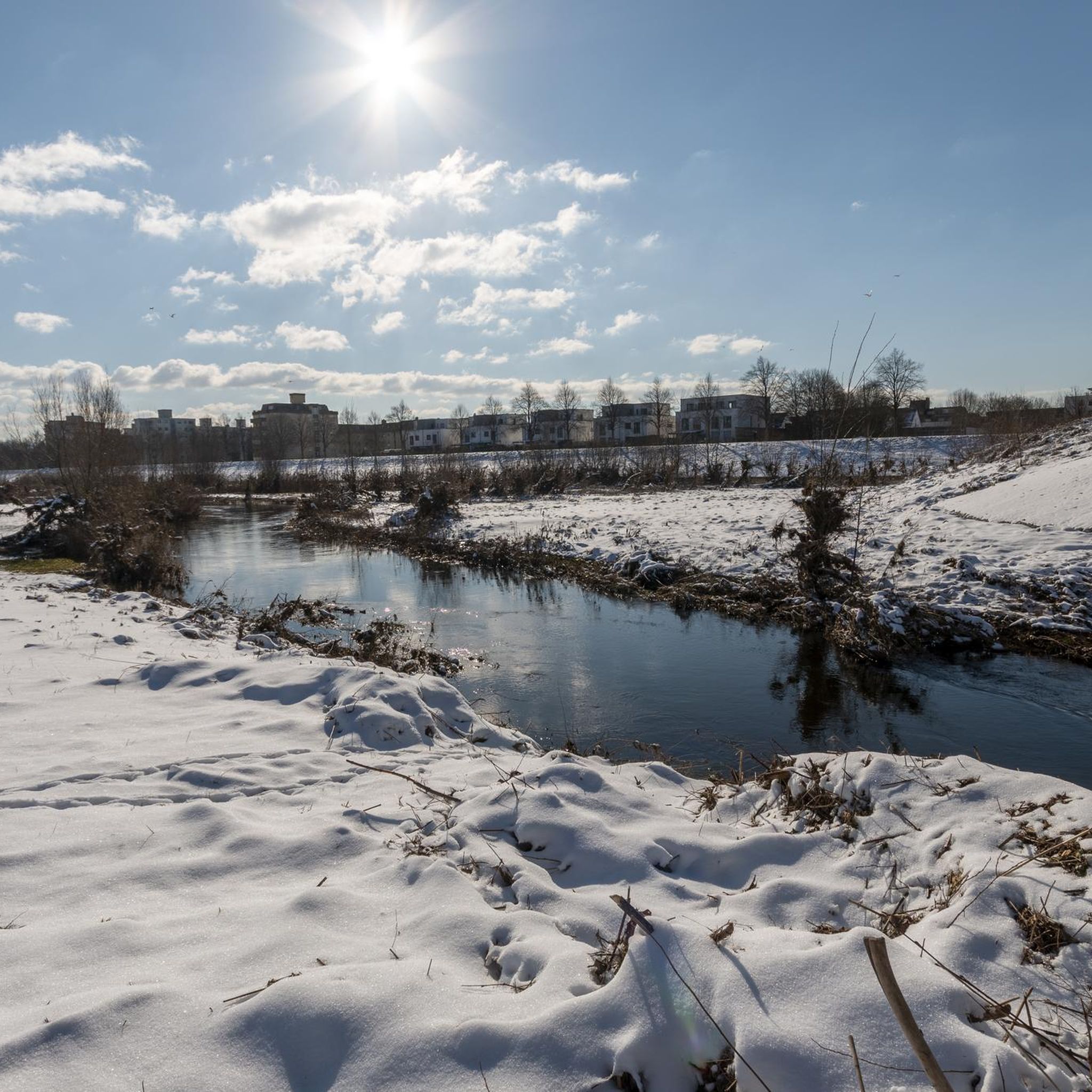
Road Cycling Routes in Auenwälder Und Feuchtwiesen Westlich Von Ötigheim
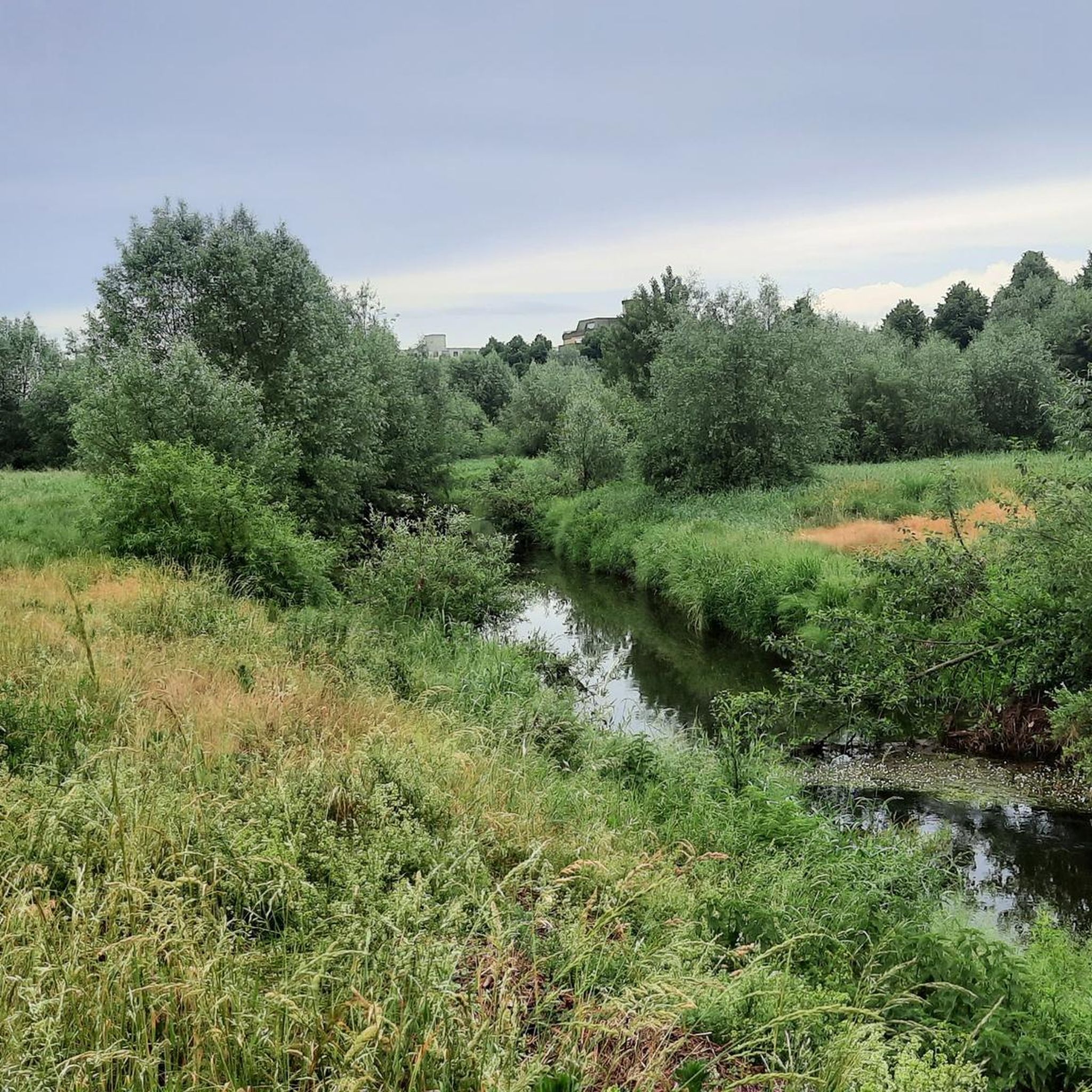
Running Trails in Auenwälder Und Feuchtwiesen Westlich Von Ötigheim
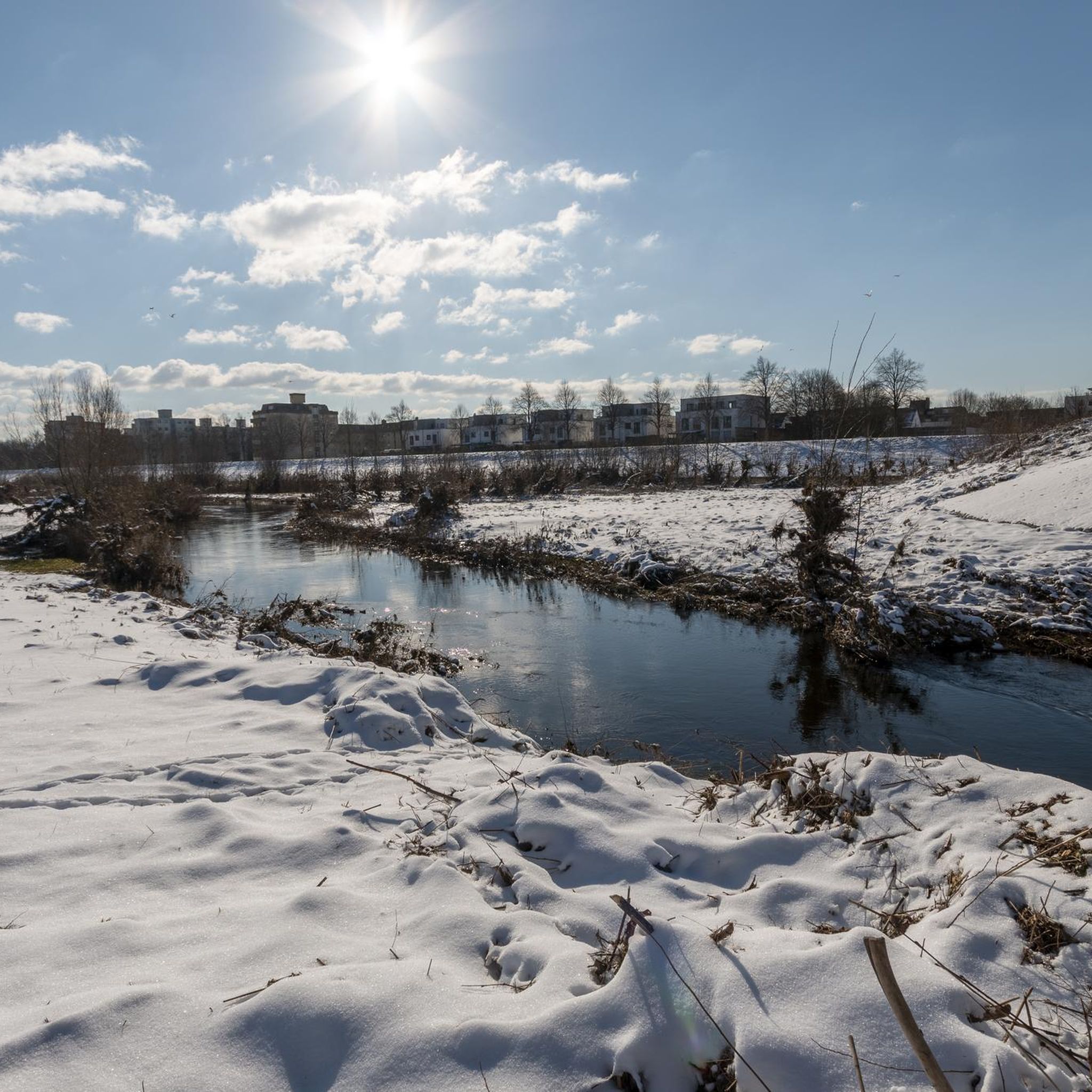
Hiking in Auenwälder Und Feuchtwiesen Westlich Von Ötigheim
MTB Trails in Auenwälder Und Feuchtwiesen Westlich Von Ötigheim
Tips from the Community

The Altrhein near Plittersdorf is a former arm of the Rhine, which was separated from the main current by the Rhine regulation in the 19th century (also called Rhine straightening). Today, the Altrhein is a calm, mostly slow-flowing or stagnant body of water in the Rhine floodplain near Plittersdorf. It is surrounded by floodplain forests, meadows, and small bodies of water. This natural landscape offers many animal and plant species an important habitat, for example birds such as herons and swans, as well as various fish species. In the past, the Rhine flowed directly past Plittersdorf and often led to floods. The course of the river was changed by the straightening, and the Altrhein was preserved as a "remnant" of the old Rhine. Today, it has above all ecological significance and also serves as a recreational area for people.
0
0

Small bathing lake with a pebble beach in the middle of the Rhine meadows. There is even a small bathing island in the water.
6
0
A museum ship that was still in operation until 1989. A great photo opportunity. And of course, there are information panels about the history of eel fishing on the Rhine.
6
0

Beautiful area, well-developed cycle path.
1
0

Clock is the best I
3
0

The Drusus ferry operates on the Rhine between Greffern and Drusenheim in Alsace at Rhine kilometer 321. The crossing from France to Germany was free.
6
0

great path ideal for the racing bike
0
0

Great view of the Old Rhine at the Alter Kopfgrund.
0
0
Frequently Asked Questions
How many gravel bike trails are available in Auenwälder Und Feuchtwiesen Westlich Von Ötigheim?
There are over 130 gravel bike trails in the Auenwälder Und Feuchtwiesen Westlich Von Ötigheim area. These routes cater to various skill levels, with options ranging from easy loops to more challenging long-distance rides.
What kind of terrain can I expect on the gravel bike trails?
You can expect a diverse mix of unpaved surfaces. The region is characterized by extensive alluvial forests and wet meadows, often alongside the Federbach stream. This means you'll ride through soft forest paths, open trails across meadows, and routes that follow watercourses, providing varied and engaging surfaces for gravel cycling. The topography is generally flat, making it accessible while still offering natural variations.
Are there gravel bike routes suitable for beginners or families?
Yes, the area offers plenty of options for beginners and families. There are 29 easy routes, many of which are relatively flat and follow scenic watercourses. An excellent example is the Aalschokker "Heini" Museum Ship – Seltz–Plittersdorf Cable Ferry loop from Rastatt, an easy 13.3-mile (21.4 km) path that offers scenic views along the Federbach.
What natural features can I see along the gravel bike trails?
The trails wind through a rich natural landscape. You'll encounter dense alluvial forests, expansive wet meadows, and the Federbach stream, which is a central element of the area. The region is also known for its rich biodiversity, including various bird species like woodpeckers, rare beetles, and numerous butterflies, especially on the herb-rich hay meadows.
Are there any interesting landmarks or points of interest along the routes?
Yes, there are several points of interest. You might pass by the Freilichtbühne Ötigheim Entrance Gate and Tell Statue, or the historical Duel Memorial Stone of 1836. Some routes also offer views towards places like Gernsbach Old Town, as seen on the Gernsbach Old Town – View of Gernsbach's Old Town loop from Ötigheim.
What do other gravel bikers enjoy most about the trails in this region?
The area is highly rated by the komoot community, with an average score of 4.4 stars from over 100 reviews. Riders often praise the diverse terrain, the peaceful journey through nature away from heavy traffic, and the scenic beauty of the alluvial forests and wet meadows. Many appreciate the variety of routes available for different skill levels.
Are there options for experienced gravel bikers looking for a challenge?
Absolutely. While much of the area is relatively flat, there are 46 difficult routes for experienced riders. For instance, the Hornisgrinde Tower – View from the Hornisgrinde summit loop from Rastatt is a challenging 80.1-mile (129.0 km) trail with significant elevation gain, offering expansive views from the Hornisgrinde summit.
Is there parking available near the gravel bike trails?
Yes, parking is generally available at various starting points for the trails, particularly in and around towns like Rastatt and Ötigheim, which serve as common access points to the nature reserve. Look for designated parking areas near trailheads or recreational facilities.
Can I reach the area by public transport?
Public transport options are available to reach the vicinity of the Auenwälder Und Feuchtwiesen Westlich Von Ötigheim. Regional train and bus services connect to towns like Rastatt and Ötigheim, from where you can often cycle directly to the trail networks. It's advisable to check local transport schedules for the most convenient connections.
Are dogs allowed on the gravel bike trails?
Many of the trails within the Auenwälder Und Feuchtwiesen Westlich Von Ötigheim are dog-friendly, especially those through the forests and meadows. However, as it is a nature and landscape conservation area, it's important to keep dogs on a leash to protect wildlife and respect other trail users. Always check local signage for specific restrictions.
What is the best time of year to go gravel biking in this region?
Spring and autumn are generally ideal for gravel biking in Auenwälder Und Feuchtwiesen Westlich Von Ötigheim. During these seasons, the weather is typically mild, and the natural landscape is particularly vibrant, with blooming wildflowers in spring and colorful foliage in autumn. Summer can also be pleasant, especially on shaded forest paths, but be mindful of potential heat. Winter riding is possible, but some paths might be muddy or icy.
Are there any circular gravel bike routes?
Yes, many of the gravel bike trails in the region are designed as circular routes, allowing you to start and end at the same point. This is convenient for planning your ride and returning to your starting location or transport. Examples include the Niederwald Forest Trail – Gewerbekanal Cycle Path loop from Rastatt and the View of the Goldkanal – Sandy Beach at Goldkanal loop from Rastatt.
Most popular routes in Auenwälder Und Feuchtwiesen Westlich Von Ötigheim
Most popular attractions in Auenwälder Und Feuchtwiesen Westlich Von Ötigheim

Get inspired with the komoot mobile app


Explore more
Browse the best Gravel rides in other regions.
