The best gravel rides in Winkler Vorbergzone
4.6
(119)
712
riders
111
rides
Gravel biking in Winkler Vorbergzone offers a diverse landscape characterized by dense forests, river valleys, and elevated sections providing views of the Rhine Plain. The region features varied terrain, from the Murgtal Gorge to the hills surrounding Gaggenau. Riders can expect a mix of forest paths, open sections, and some challenging climbs. The area's topography provides a range of gradients suitable for different gravel biking experiences.
Best gravel bike trails in Winkler Vorbergzone
- The most popular gravel bike trail is…
Last updated: October 6, 2026
4.8
(6)
43
riders
55.2km
03:39
860m
860m
Hard gravel ride. Very good fitness required. Mostly paved surfaces. Suitable for all skill levels.
5.0
(2)
20
riders
71.8km
04:30
1,130m
1,130m
Hard gravel ride. Very good fitness required. Mostly paved surfaces. Suitable for all skill levels.

5.0
(1)
9
riders
29.4km
02:24
690m
690m
Hard gravel ride. Very good fitness required. Mostly paved surfaces. Suitable for all skill levels.
7
riders
24.0km
01:51
600m
600m
Hard gravel ride. Very good fitness required. You may need to push your bike for some segments of this route.
9
riders
Hard gravel ride. Very good fitness required. Mostly paved surfaces. Suitable for all skill levels.
Get access to more routes and recommendations from other explorers.
Already have an account?
Our route recommendations are based on thousands of hikes, rides, and runs completed by other people on komoot.
Start today with a free account
Your next adventure awaits.

Tips from the Community

The spectacular rock formations on the Murgtalradweg are mainly located on the particularly scenically attractive section between Raumünzach and Forbach
3
0

Idyllic passage through the rock. 😍
1
0

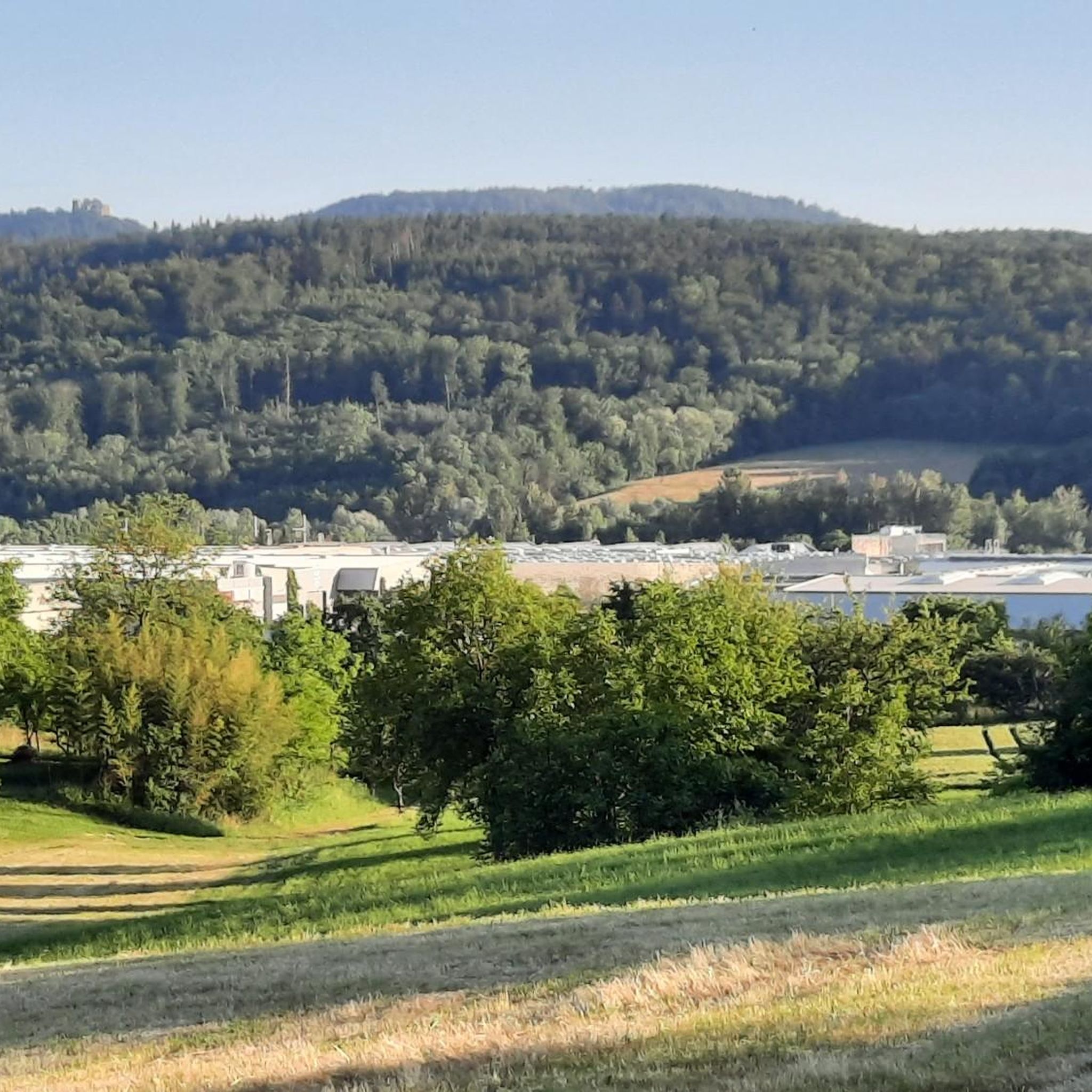
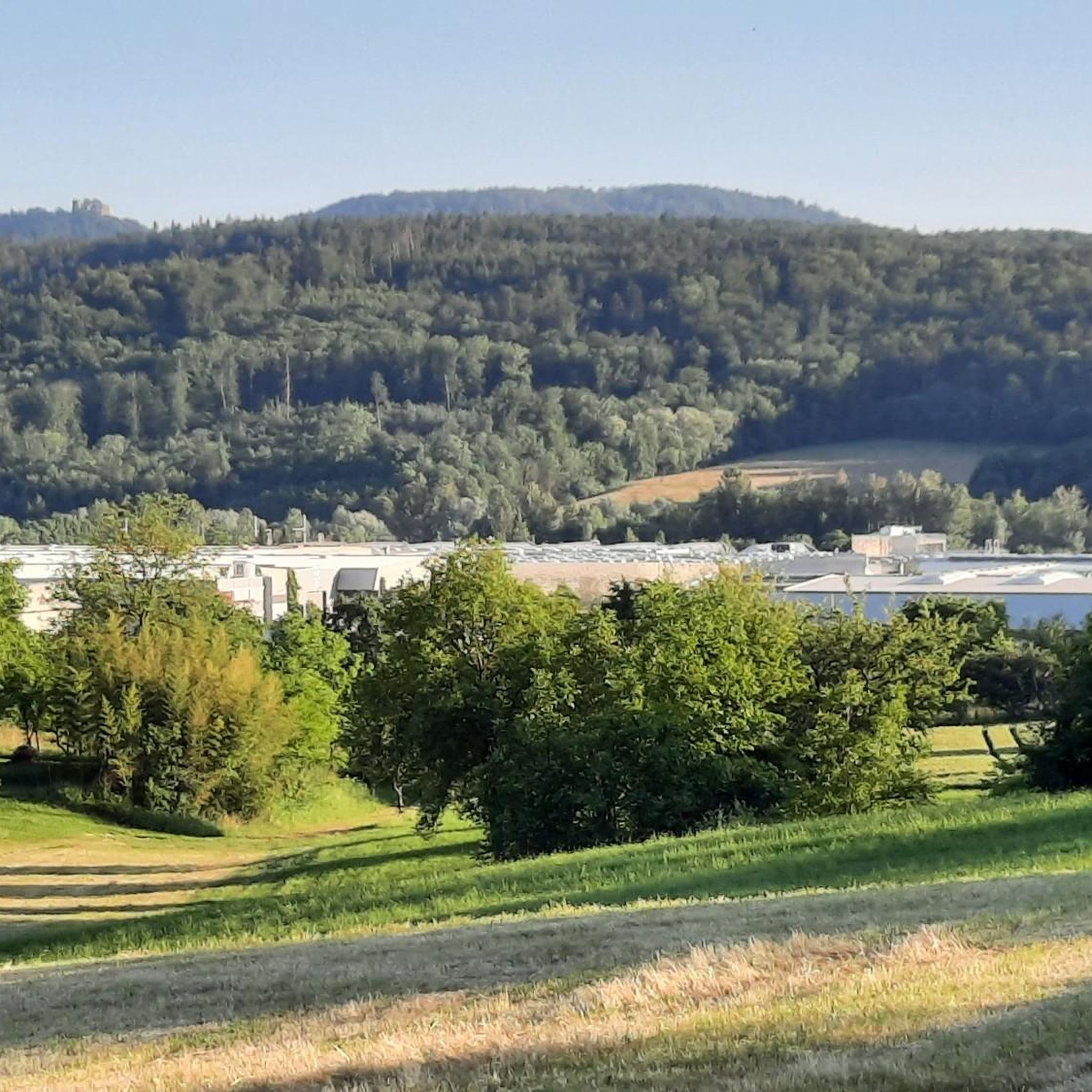
magnificent the view of Loffenau and the Murg Valley
0
0

At the spot where the mountain railway tunnels under the gravel road, you have beautiful views over Baden-Baden. A good place for a breather.
1
0

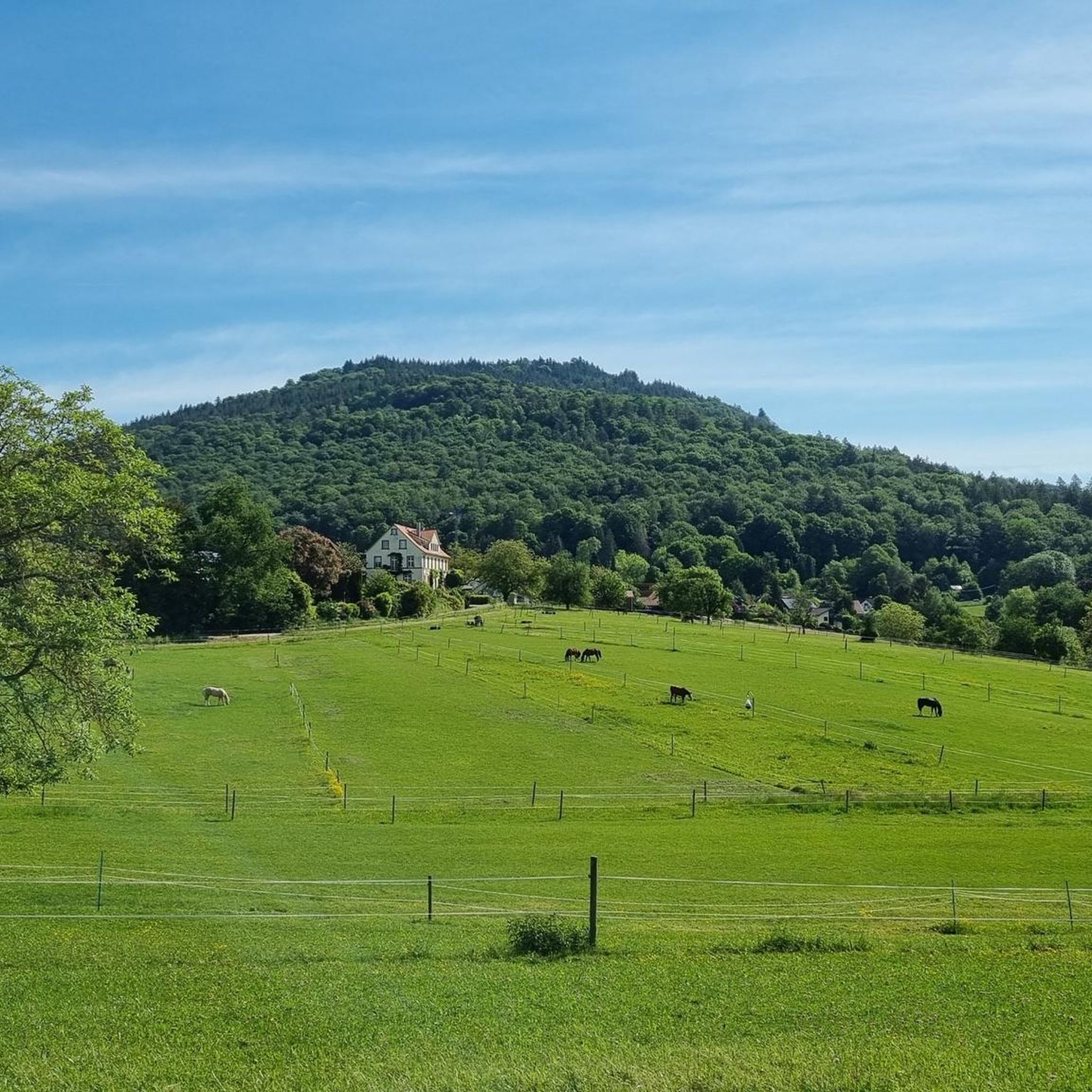
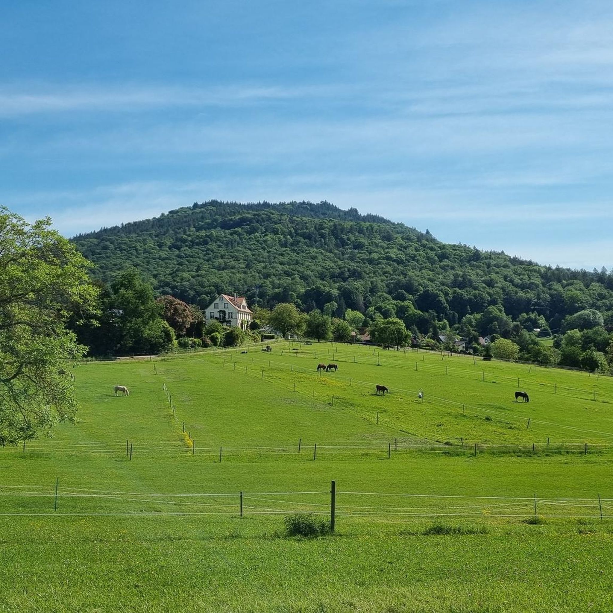
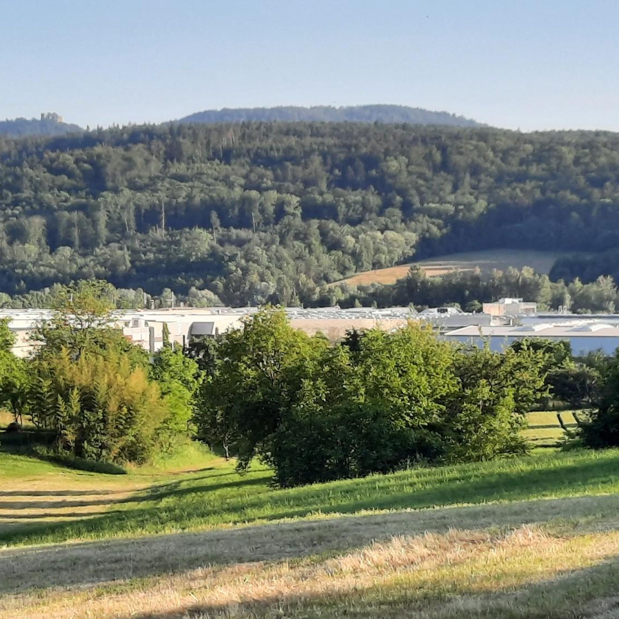
Beautiful view of Winkel, the small district of Bad Rotenfels, the many horse paddocks and the foothills of the Northern Black Forest in the background.
7
0
Beautiful view over the Murg to the old town and the surroundings.
4
0

The new, curved suspension bridge for pedestrians and cyclists has turned out beautifully! The northern connection to a separate cycle path is also finished (in June 2026, a railing was added towards the Murg).
5
2

Below this spot, an aircraft crashed on November 1, 1945, shortly after the end of the war. In the most severe air disaster ever to occur in our region, 26 American military personnel lost their lives. The aircraft was a Douglas C-47 (DC3) transport aircraft in its military version. It was put into service a year earlier and participated in "D-Day", the Normandy invasion, as a paratrooper transport. It had space for up to 32 people and was also known as a "raisin bomber" during the Berlin Airlift. On the day of the accident, 4 crew members and 26 U.S. Air Force soldiers were on board. They had been on vacation in London and were supposed to return to their units at the Oberschleißheim Air Force Base near Munich. Despite bad weather over the mainland, the 23-year-old pilot and his 22-year-old navigator decided to fly. Shortly after takeoff, the pilot had to climb above the cloud cover due to dense cloudiness and continue the flight using instruments. According to the navigator's calculations, a point near Augsburg should have been reached after 3 hours of flight, where the pilot could descend below the cloud cover and begin the approach using visual orientation. Due to strong headwinds, the calculated position was missed by more than 200 km. Consequently, the cloud cover was descended through north of Karlsruhe, and the navigator lost orientation. They followed the Rhine in a southwesterly direction until near Wintersdorf, a 90-degree correction was made to the original course towards Munich. The DC3 thus steered directly towards the 693-meter-high Bernstein. The pilot and navigator continued to try to determine the correct position from low altitude, which became increasingly difficult due to the approaching fog. Despite the dense fog, the silhouette of the aircraft was recognizable when flying over Michelbach. Around 4:30 PM, the aircraft crashed at an altitude of 620 meters, where it broke into several pieces and went up in flames after explosions. Many victims died because help arrived too late. That help arrived at all four hours after the accident is thanks to three survivors who, despite severe injuries, made their way to Sulzbach and Bernbach. Until now, only rumors had surrounded this event, and it eventually fell into oblivion.
5
0
Frequently Asked Questions
How many gravel bike trails are available in Winkler Vorbergzone?
Winkler Vorbergzone offers a wide selection of gravel bike routes, with over 140 trails available. This includes 16 easy, 60 moderate, and 70 difficult routes, catering to various skill levels.
What is the overall difficulty level of gravel biking in Winkler Vorbergzone?
The region provides a diverse range of difficulties. While there are 16 easy routes perfect for beginners, the majority of trails are moderate (60 routes) or difficult (70 routes), featuring varied terrain and challenging climbs.
Are there gravel bike trails suitable for beginners in Winkler Vorbergzone?
Yes, beginners can find suitable gravel bike trails in Winkler Vorbergzone. There are 16 easy routes designed for those new to gravel biking or looking for a more relaxed ride.
Where can I find more challenging gravel bike routes in Winkler Vorbergzone?
For experienced gravel bikers seeking a challenge, Winkler Vorbergzone offers 70 difficult routes. An example is the View of the Rhine Plain – Waldbrechtstalweg Forest Path loop from Gaggenau, which covers 25.4 miles (40.9 km) with significant elevation gain.
Are there any long-distance gravel bike trails in Winkler Vorbergzone?
Yes, Winkler Vorbergzone features several longer gravel bike routes. The Graf-Rhena-Weg Forest Path – Panoramic View of Bernbach loop from Gaggenau is a challenging 48.9 miles (78.7 km) trail, offering an extensive ride through varied landscapes.
What kind of terrain can I expect on gravel bike trails in Winkler Vorbergzone?
You can expect a mix of terrain, including dense forest paths, open sections, and river valleys. The region's topography also includes elevated sections, providing some challenging climbs and descents.
Are there any loop gravel bike trails in Winkler Vorbergzone?
Many gravel bike trails in Winkler Vorbergzone are designed as loops, allowing you to start and end at the same point. An example is the Tannschach Hut – View of Bernbach loop from Gaggenau, an 18.2 miles (29.4 km) route through forested hills.
What can I see along the gravel bike trails in Winkler Vorbergzone?
Along the gravel bike trails, you can discover various points of interest. These include natural features like the Hühnerbrünnele Fountain and historical sites such as the Historical boundary stone 108 (1846). Some routes also pass by the Winkler Hofstüble.
What do other gravel bikers say about the trails in Winkler Vorbergzone?
The gravel bike trails in Winkler Vorbergzone are highly regarded by the komoot community, with an average rating of 4.5 stars from over 160 reviews. Riders often praise the varied terrain, from dense forests to river valleys, and the panoramic viewpoints.
Are there any viewpoints along the gravel bike routes in Winkler Vorbergzone?
Yes, many routes in Winkler Vorbergzone offer panoramic viewpoints. The region's elevated sections provide stunning views of the Rhine Plain and the surrounding landscape, making for rewarding stops during your ride.
What is the best time of year for gravel biking in Winkler Vorbergzone?
While gravel biking is possible year-round, the spring and autumn months generally offer the most pleasant conditions with mild temperatures and vibrant scenery. Summer can be enjoyable, but be prepared for warmer weather, especially on exposed sections.
Are there any cafes or places to eat near the gravel bike trails?
Yes, some routes pass by establishments where you can refuel. For instance, the Winkler Hofstüble is a notable spot that riders might encounter on their tours.
Most popular routes in Winkler Vorbergzone
Most popular attractions in Winkler Vorbergzone

Get inspired with the komoot mobile app


Explore more
Browse the best Gravel rides in other regions.
