The best gravel rides in Réserve Naturelle De L'Île Du Rohrschollen
4.6
(139)
611
riders
55
rides
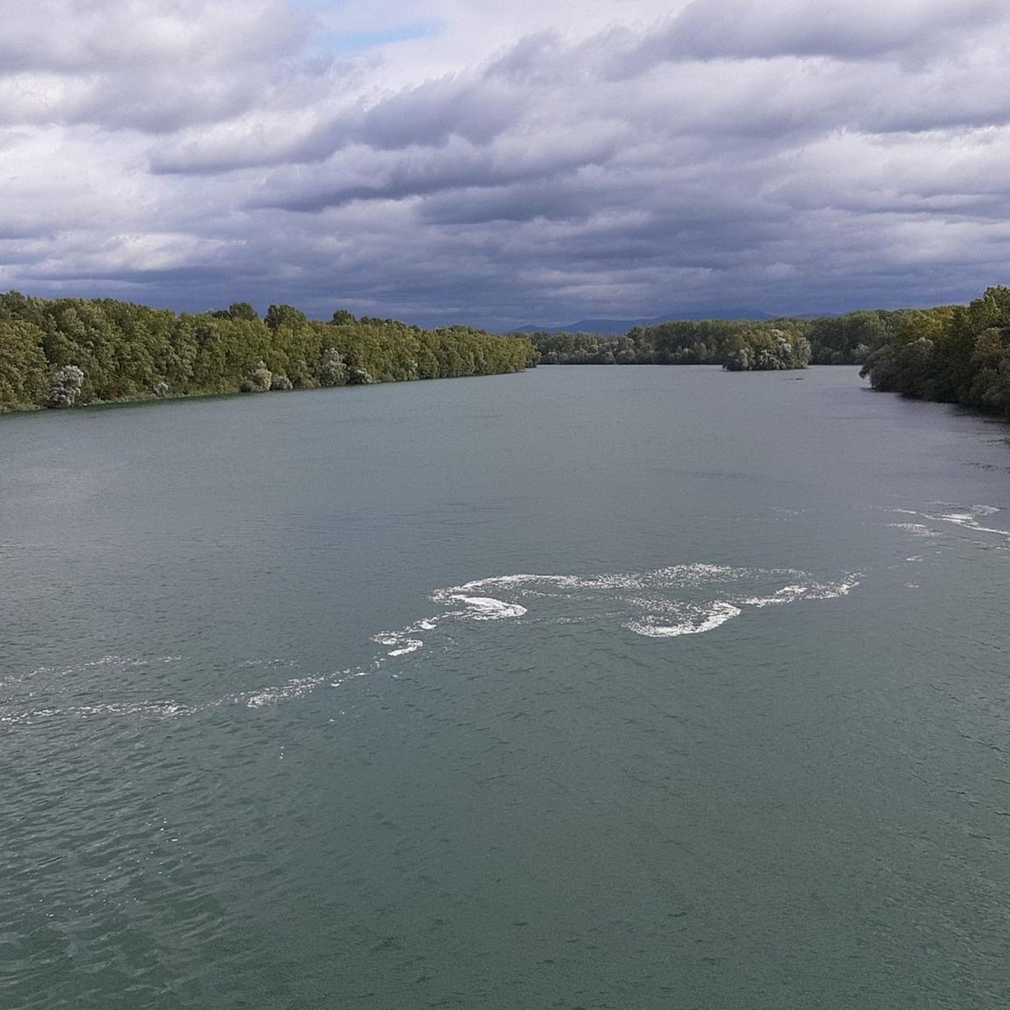
Gravel biking in Réserve Naturelle De L'Île Du Rohrschollen offers routes through a unique alluvial forest ecosystem and along the Rhine River. The region is characterized by wetlands, diverse forest types, and riverbanks, providing varied scenic backdrops. Trails range from mostly well-paved surfaces to unpaved segments, catering to different gravel biking preferences. This natural reserve, located southeast of Strasbourg, features a mix of flat riverine paths and forest trails.
Best gravel bike trails in Réserve Naturelle De L'Île Du Rohrschollen
- The most popular gravel bike trail is Rheinauewald Diersheim – Rhine River Embankment Trail loop from Kehl, a 21.5 miles (34.5 km) trail that takes 1 hour 58 minutes to complete. This easy route explores the forest and follows the Rhine River embankment.
- Another top favourite among local gravel bikers is Gengenbach Old Town – Lothar Memorial and Viewpoint loop from Kehl, a difficult 62.9 miles (101.3 km) path. This longer route includes significant elevation gain and diverse landscapes.
- Local gravel bikers also love the Rench Dam Trail – View of Krebsenbach loop from Kehl, a 48.2 miles (77.6 km) trail leading through varied terrain, often completed in about 4 hours 58 minutes.
- Gravel biking in Réserve Naturelle De L'Île Du Rohrschollen is defined by alluvial forests, Rhine River scenery, and wetlands. The network offers options for different ability levels, from easy forest paths to more challenging routes.
- The routes in Réserve Naturelle De L'Île Du Rohrschollen are highly rated by the komoot community with an average score of 4.6 stars from over 130 reviews. More than 600 gravel bikers have used komoot to explore Réserve Naturelle De L'Île Du Rohrschollen's varied terrain.
Last updated: May 22, 2026
4.7
(7)
23
riders
Easy gravel ride. Great for any fitness level. Mostly paved surfaces. Suitable for all skill levels.
6
riders
101km
07:01
1,370m
1,370m
Hard gravel ride. Very good fitness required. Mostly paved surfaces. Suitable for all skill levels.

Sign up for free
4
riders
77.7km
04:53
640m
640m
Hard gravel ride. Very good fitness required. Mostly paved surfaces. Suitable for all skill levels.
4.6
(5)
10
riders
Moderate gravel ride. Good fitness required. Mostly paved surfaces. Suitable for all skill levels.
4.0
(1)
8
riders
Moderate gravel ride. Good fitness required. Mostly paved surfaces. Suitable for all skill levels.
Get access to more routes and recommendations from other explorers.
Sign up for free
Already have an account?
Our route recommendations are based on thousands of hikes, rides, and runs completed by other people on komoot.
Start today with a free account
Your next adventure awaits.
Login or Signup
Popular around Réserve Naturelle De L'Île Du Rohrschollen
Tips from the Community

Good route for a trip by bike or on foot.
0
0

Diersheim is a district of Rheinau in Hanauerland on the Upper Rhine and belongs to the older settlements in the region. Diersheim was first mentioned in the Middle Ages (around the 12th century). The place was under changing rule for a long time, including the Lords of Lichtenberg and later the County of Hanau-Lichtenberg. Like many places in the region, Diersheim became Protestant in the course of the Reformation. Due to its location near the Rhine, the place was repeatedly affected by wars between France and the German Empire, which led to destruction and reconstruction. Agriculture shaped the lives of the population for centuries. In 1974, Diersheim was incorporated into Rheinau as part of the municipal reform.
0
0

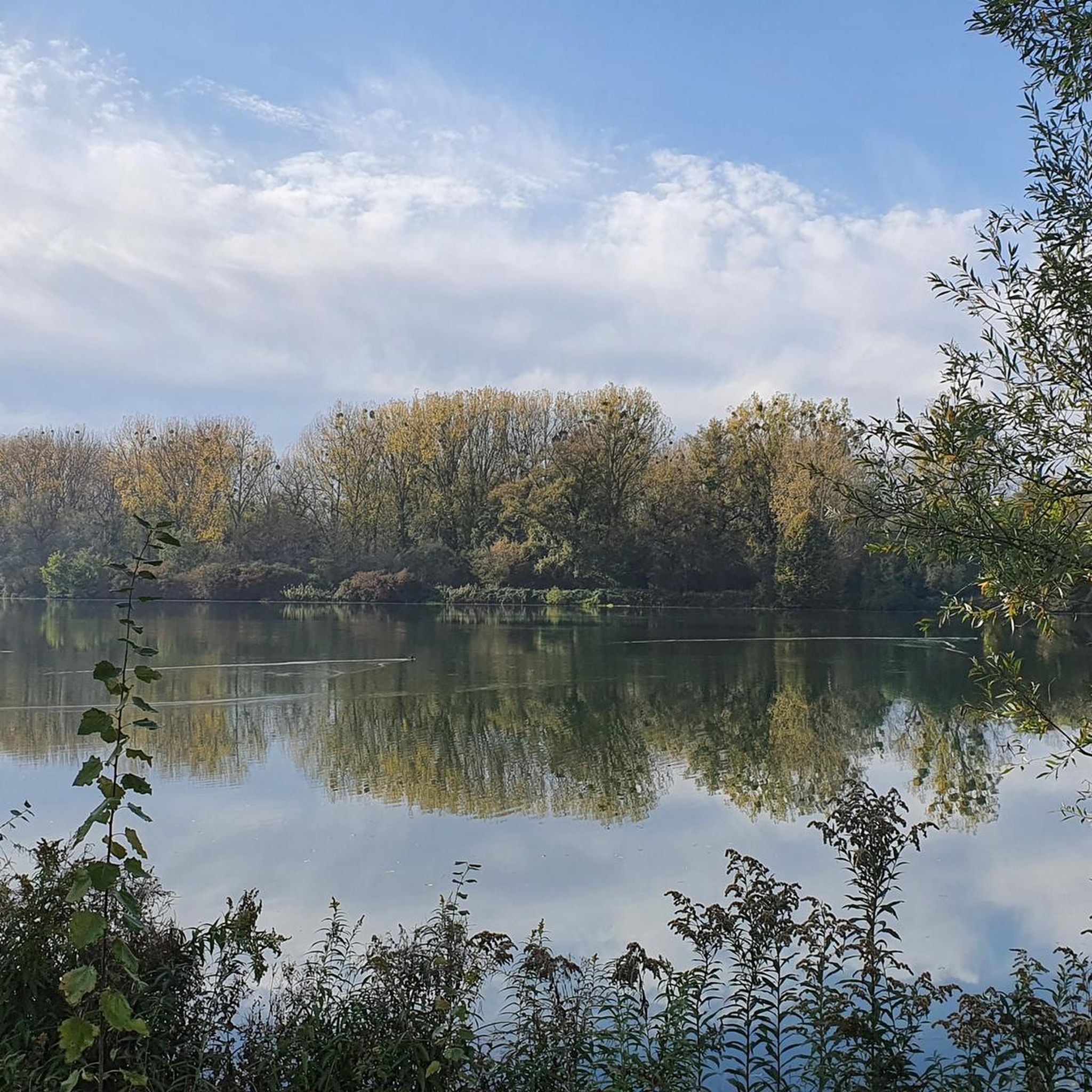
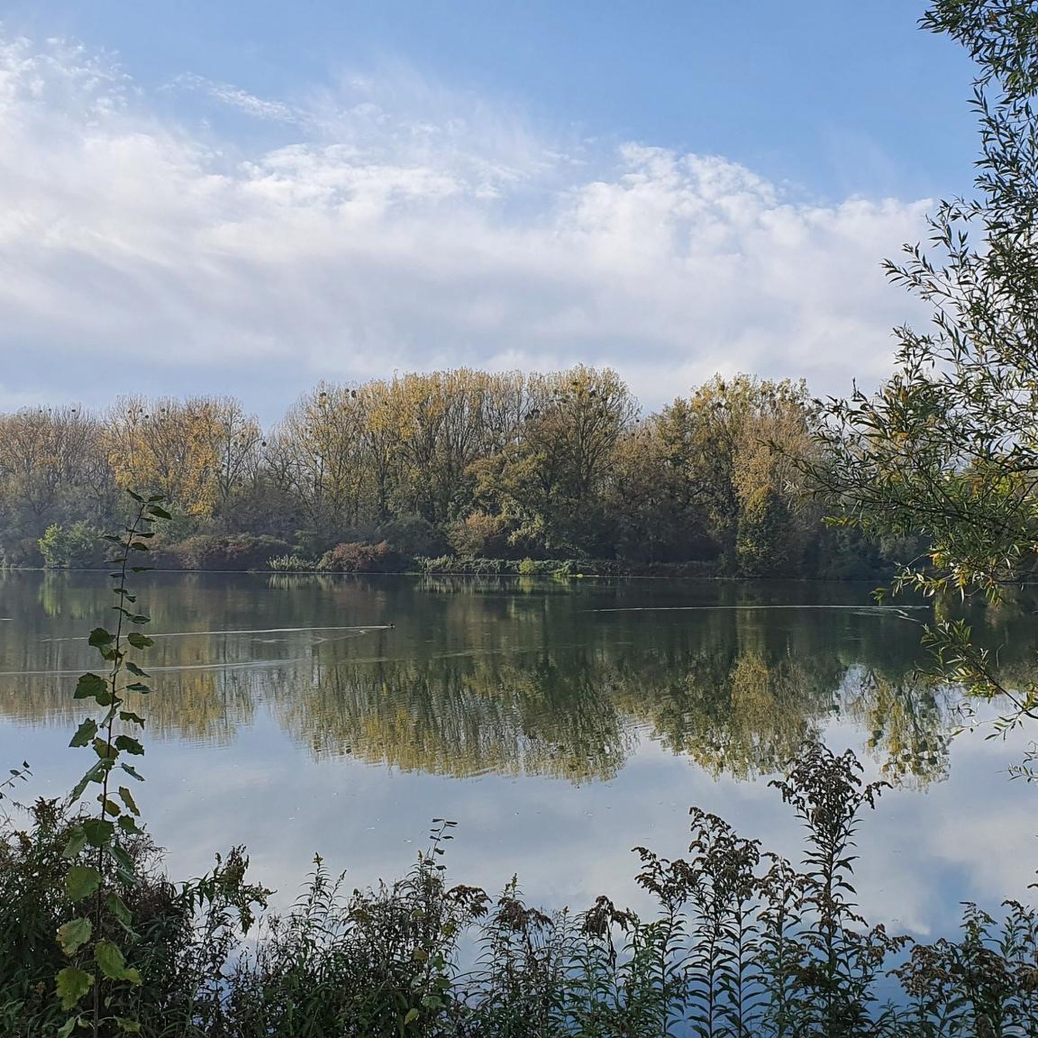
Beautiful cycle path for a nice bike ride.
0
0

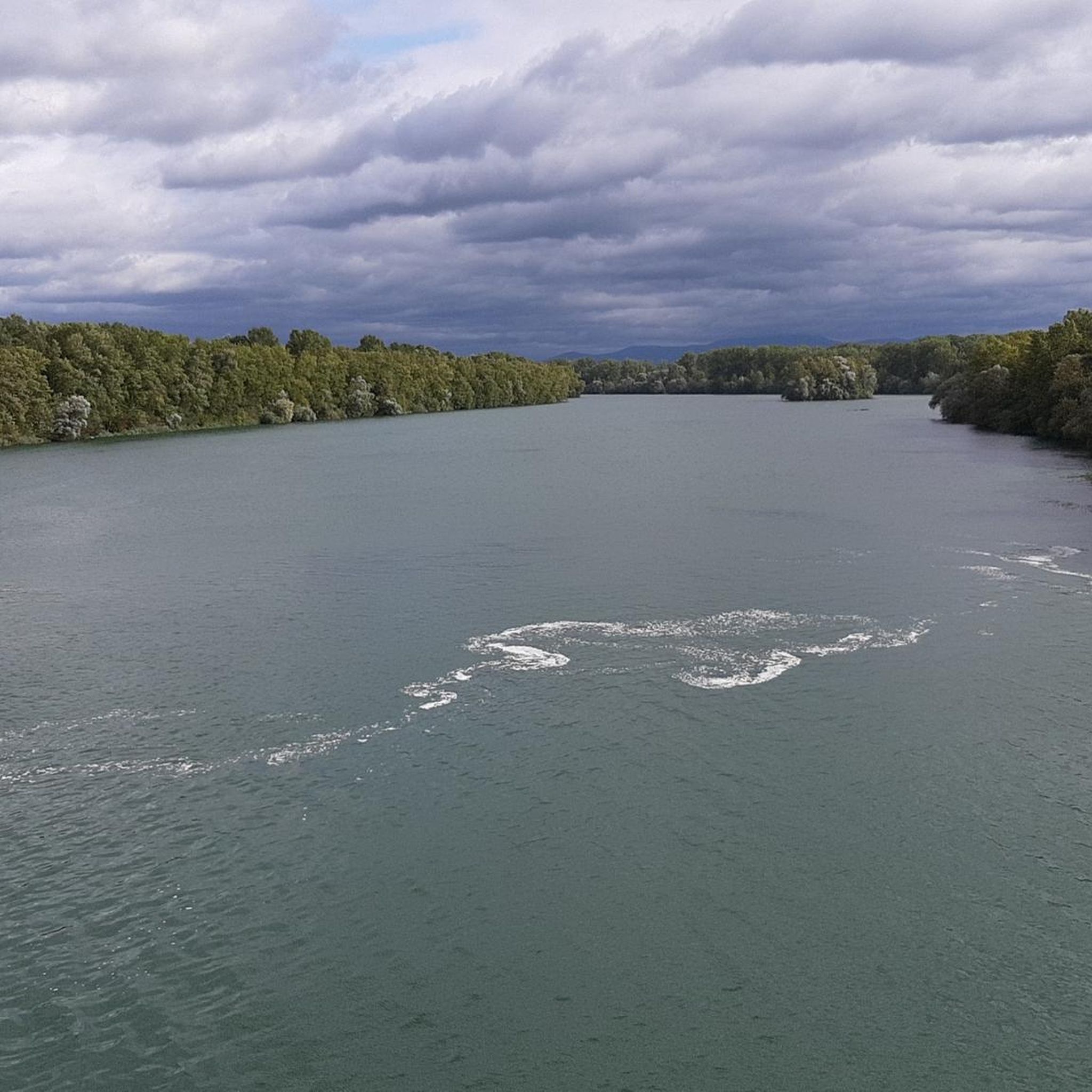
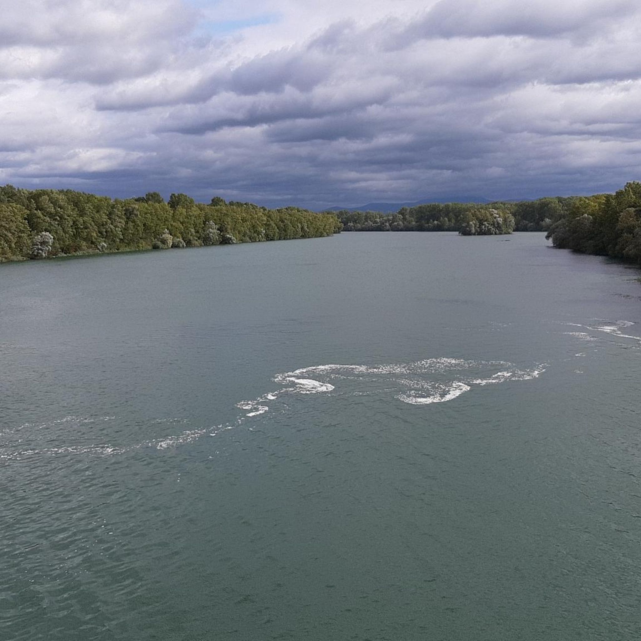
Amazing tour, passing through green forest areas and partially following the Rhein river it’s definitely worth doing this route. Highly remommended!!!
0
0
Die Kinzig ist ein Fluss der den Mittleren Schwarzwald und die Oberrheinische Tiefebene auf einer Länge von 93 km durchfließt. Die Kinzig entspringt in Loßburg die Mündung in Kehl-Auenheim.
0
0

Even from afar, the towers and gates invite you into the historic old town, and narrow alleys lead you into picturesque nooks and crannies. The "stone knight" greets us upright on the market square fountain. It bears witness to the pride and self-confidence of the former Free Imperial City.
1
0

now houses the police station
5
0

beautiful cycle paths along the Rench
0
0
Frequently Asked Questions
How many gravel bike trails are there in Réserve Naturelle De L'Île Du Rohrschollen?
There are nearly 90 gravel bike trails available in Réserve Naturelle De L'Île Du Rohrschollen, offering a wide range of options for different skill levels and preferences. These include 15 easy routes, 46 moderate routes, and 28 difficult routes.
What kind of terrain can I expect on the gravel bike trails?
The terrain in Réserve Naturelle De L'Île Du Rohrschollen is quite varied, reflecting its unique alluvial forest ecosystem. You'll find a mix of mostly well-paved surfaces and unpaved segments, including forest paths, riverbanks, and trails alongside the Rhine River. Some routes are easy to ride, while others may be more challenging due to unpaved sections or longer distances.
Are there any easy gravel bike routes suitable for beginners?
Yes, there are several easy gravel bike routes perfect for beginners or those looking for a relaxed ride. One popular option is the Rheinauewald Diersheim – Rhine River Embankment Trail loop from Kehl, which is 34.5 km long and explores the forest and follows the Rhine River embankment.
Are there more challenging gravel routes for experienced riders?
Absolutely. For experienced riders seeking a challenge, there are difficult routes with significant elevation gain and diverse landscapes. An example is the Gengenbach Old Town – Lothar Memorial and Viewpoint loop from Kehl, a demanding 101.3 km path.
What natural features and attractions can I see along the trails?
The reserve is rich in natural beauty. You can explore the unique alluvial forest, wetlands, and riverbanks. Highlights include the Rohrschollen Island Nature Reserve itself, the Rohrschollen Island Riverside Trail, and the Cycle Path Along the Canal d'Alsace. You might also spot the Rheinau Dam and observe the dynamics of the Rhine River.
Is Réserve Naturelle De L'Île Du Rohrschollen suitable for family gravel biking?
Yes, the reserve offers marked circuits and easier paths that are suitable for families. The varied terrain includes flat riverine paths and forest trails, providing options for different ages and skill levels. Exploring the unique ecosystem and spotting wildlife can be a great family activity.
Are there circular gravel bike routes available?
Many of the gravel bike routes in Réserve Naturelle De L'Île Du Rohrschollen are designed as loops, allowing you to start and end at the same point. For instance, the Trail through the forest – Rheinauen Wilderness Trail loop from Kehl is a 25.0 km circular route through the alluvial forest.
What is the best time of year for gravel biking in the reserve?
The reserve is beautiful year-round, but spring and autumn generally offer the most pleasant conditions for gravel biking with mild temperatures and vibrant scenery. However, it's important to note that the island is prone to temporary flooding, and access may be restricted during such periods for safety, so checking local conditions is advisable.
Where can I park when visiting Réserve Naturelle De L'Île Du Rohrschollen for gravel biking?
While specific parking areas for gravel bikers are not detailed, the reserve is accessible and often visited by car. It's advisable to check local signage upon arrival for designated parking spots, especially near main entrances or trailheads. The proximity to Strasbourg also means various parking options are available in the wider area.
Can I reach Réserve Naturelle De L'Île Du Rohrschollen by public transport?
The reserve is located just 10 kilometers southeast of Strasbourg's historic center, making it accessible. While direct public transport to the heart of the reserve might be limited, you can likely reach nearby areas by public transport from Strasbourg and then cycle the remaining distance. Checking local bus or tram schedules for connections to the outskirts of the reserve is recommended.
What should I know about trail conditions in the reserve?
Trail conditions can vary. While some routes feature mostly well-paved surfaces, others include unpaved segments that can be difficult, especially after rain. The reserve's alluvial nature means some areas can be wet or muddy. It's always a good idea to check recent conditions or local advisories before heading out. Be aware that temporary flooding can restrict access to certain parts of the island.
What kind of wildlife can I expect to see while gravel biking?
Réserve Naturelle De L'Île Du Rohrschollen is a biodiversity hotspot. It's home to over 200 plant species and 158 bird species, making it an important ornithological site. You might spot various waterfowl, especially during winter when over 4,000 birds winter there annually. Bird observation points are available, and you may encounter other protected animals and plants within the rich ecosystem.
What do other gravel bikers enjoy most about the area?
The area is highly rated by the komoot community, with an average score of 4.5 stars from over 180 reviews. Gravel bikers often praise the unique alluvial forest ecosystem, the scenic routes along the Rhine River, and the diverse landscapes that offer a mix of easy and challenging terrain. The natural immersion and varied paths are frequently highlighted.
Are there any cafes or places to eat near the gravel trails?
While the reserve itself is a natural area, its proximity to Strasbourg and surrounding towns means you'll find cafes, restaurants, and accommodations within a short distance. It's a good idea to plan your route to pass through or near these towns if you intend to stop for refreshments or a meal.
Most popular routes in Réserve Naturelle De L'Île Du Rohrschollen
Most popular attractions in Réserve Naturelle De L'Île Du Rohrschollen

Get inspired with the komoot mobile app


Explore more
Browse the best Gravel rides in other regions.
