The best gravel rides in Nsg Wiesen Am Hirtenborn
4.8
(4)
29
riders
27
rides
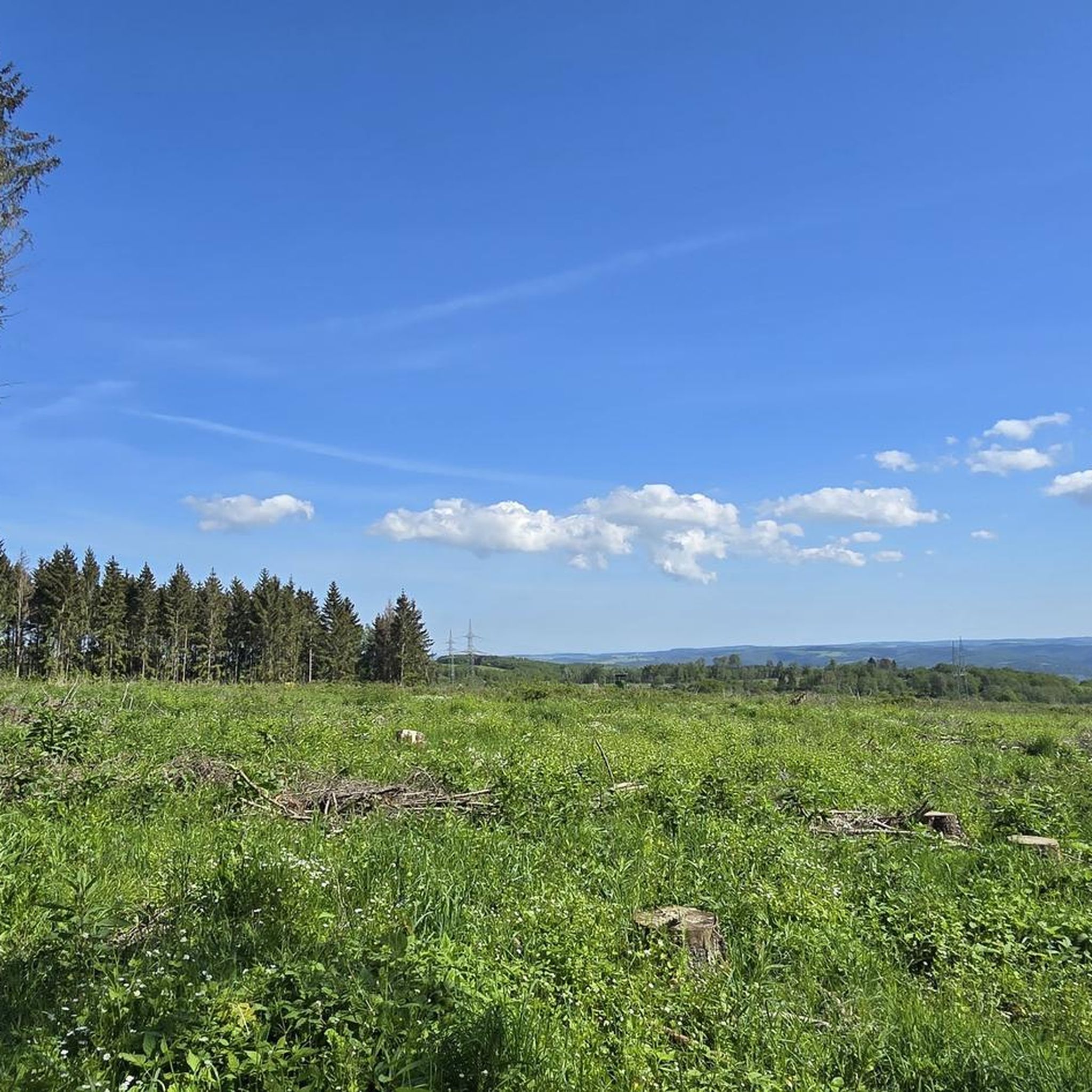
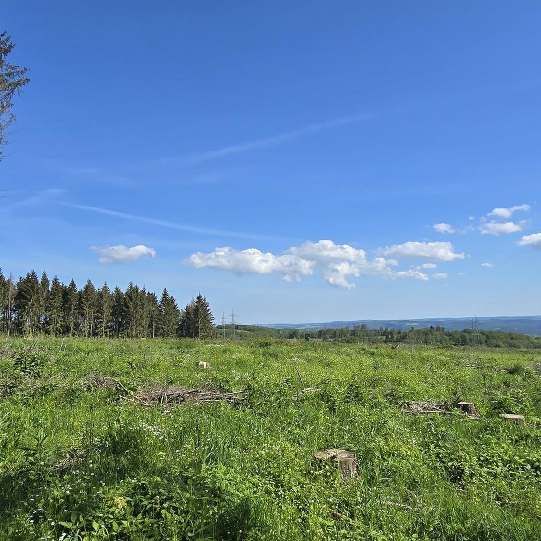
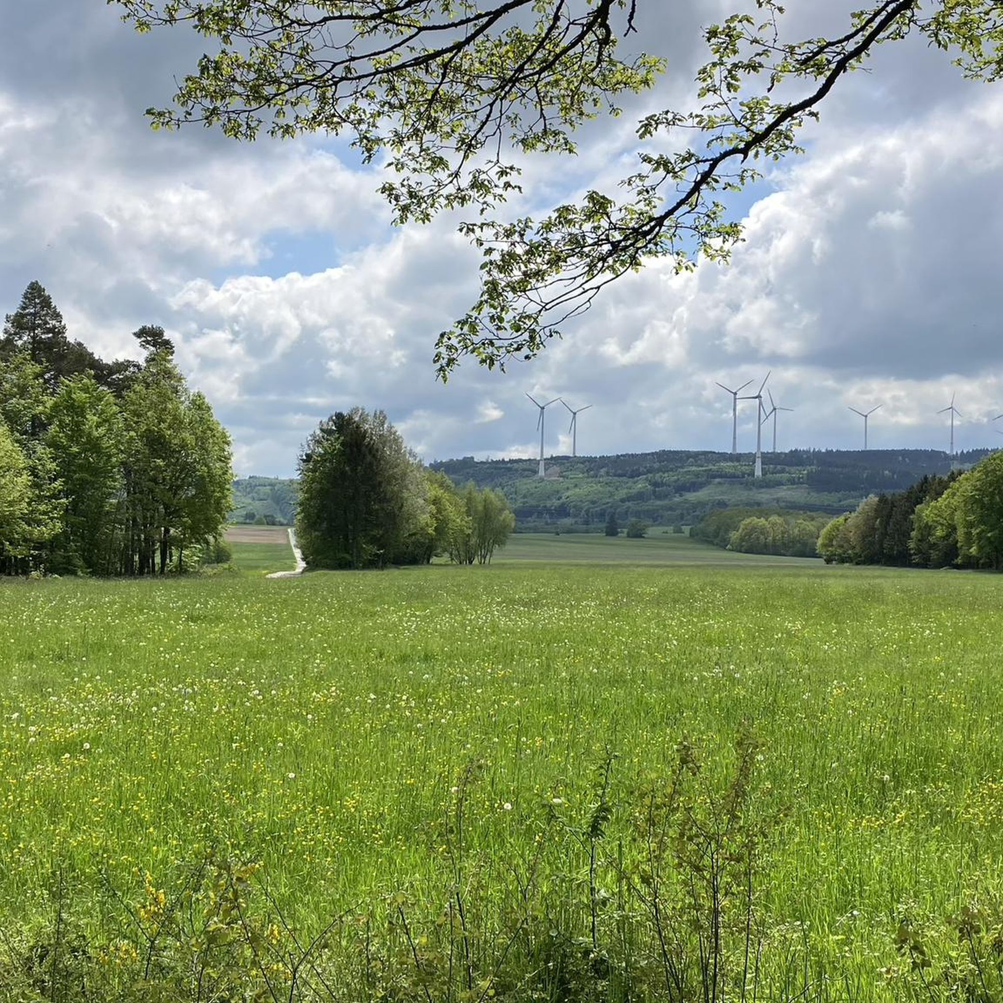
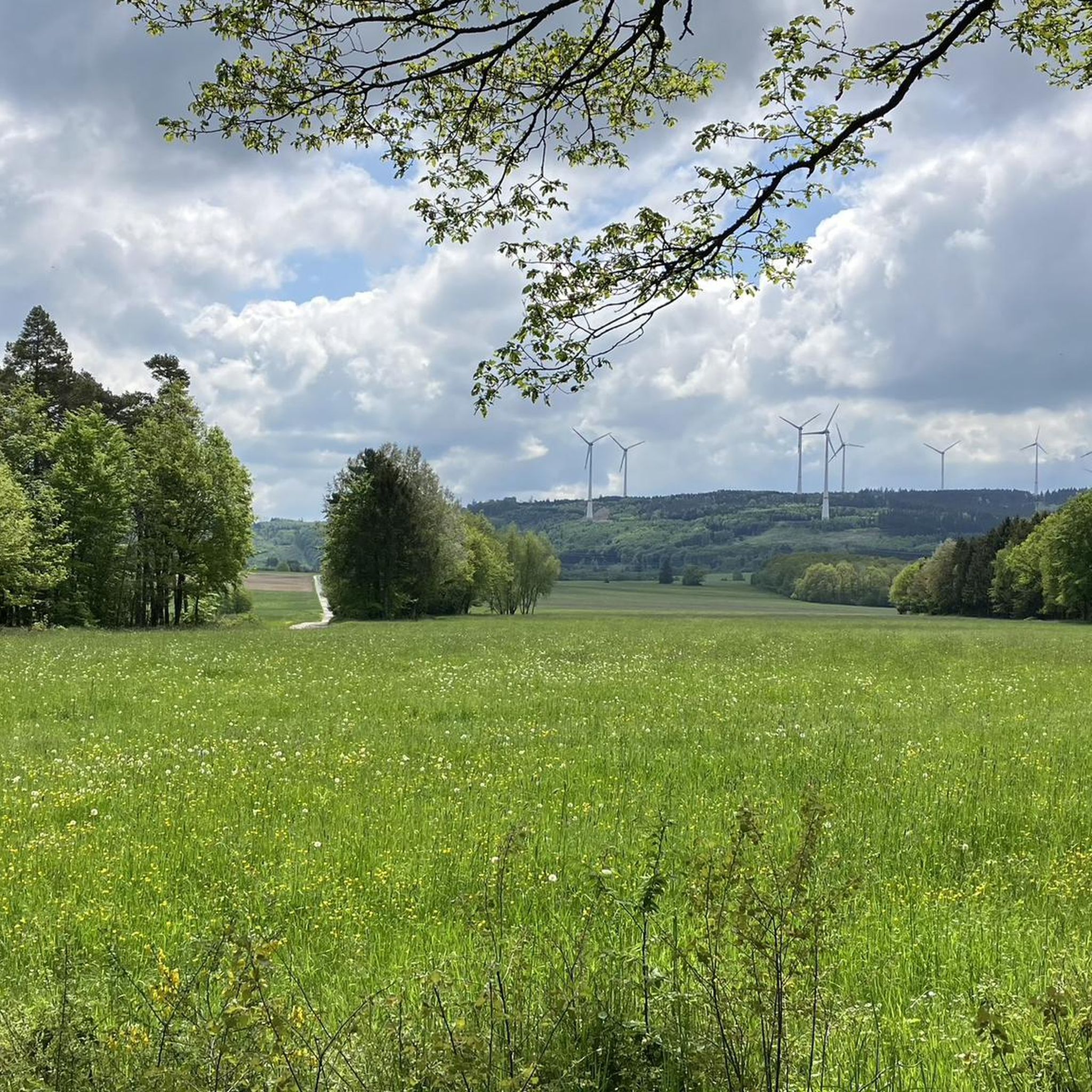
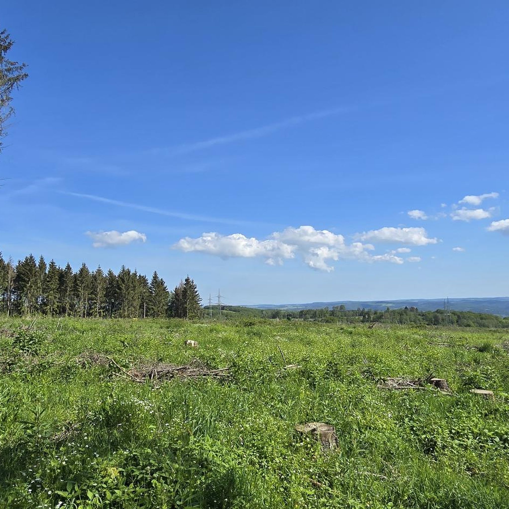
Gravel biking in Nsg Wiesen Am Hirtenborn takes place within a nature reserve characterized by extensive meadows, spring areas, heathlands, and diverse forest sections. The terrain includes both surfaced and unmetalled forestry roads, which are generally permitted for cycling. This region is known for its protected flora, including significant orchid populations, and offers a varied landscape for outdoor activities.
Best gravel bike trails in Nsg Wiesen Am Hirtenborn
- The most popular gravel bike trail is Birch Avenue near Rheinböllen –…
Last updated: July 30, 2026
4
riders
Moderate gravel ride. Good fitness required. Mostly paved surfaces. Suitable for all skill levels.
2
riders
38.1km
02:49
800m
800m
Hard gravel ride. Very good fitness required. Mostly paved surfaces. Suitable for all skill levels.

Sign up for free
1
riders
48.1km
03:25
750m
750m
Hard gravel ride. Very good fitness required. You may need to push your bike for some segments of this route.
5.0
(1)
6
riders
30.6km
02:15
520m
520m
Hard gravel ride. Very good fitness required. You may need to push your bike for some segments of this route.
4.0
(1)
4
riders
45.9km
03:12
780m
790m
Hard gravel ride. Very good fitness required. Mostly paved surfaces. Suitable for all skill levels.
Get access to more routes and recommendations from other explorers.
Sign up for free
Already have an account?
Our route recommendations are based on thousands of hikes, rides, and runs completed by other people on komoot.
Start today with a free account
Your next adventure awaits.
Login or Signup
Tips from the Community

From the village center in Weiler, continuing the Heilig Kreuz-Weg, a Stations of the Cross with Stations of the Cross leads north into the Binger Wald. It ends at the "Gedenkstätte Belle Kreuz" in the middle of the forest. The site is equipped with an open-air altar and a 10-meter-high wooden cross. The altar area serves as a memorial for the victims of the Second World War. The first Holy Mass took place here in 1955. As early as 1949, the community was founded to establish a Stations of the Cross. In 1951/52, the Stations of the Cross, made of Mayen basalt, could be erected. The Mainz sculptor Adam Winter created the relief panels for the niches of the stations. Since 1961, the remaining work has been completed.
1
0

The Old Town Hall is a neo-Gothic brick building from 1873
0
0


Beautiful little town in the Hunsrück region
0
0
Frequently Asked Questions
What kind of terrain can I expect on gravel bike trails in Nsg Wiesen Am Hirtenborn?
The trails in Nsg Wiesen Am Hirtenborn feature a mix of surfaced and unmetalled forestry roads. The region is characterized by extensive meadows, spring areas, heathlands, and diverse forest sections, offering varied surfaces and landscapes for gravel biking.
Are there any specific regulations for cycling within the Nsg Wiesen Am Hirtenborn nature reserve?
Yes, as Nsg Wiesen Am Hirtenborn is a nature reserve, cycling is generally restricted to designated roads and pathways. This includes forestry access roads, which can be either permanently surfaced or unmetalled. To protect the sensitive ecosystems, cycling on paths used by machinery, cleared aisles, boundary lines, and footpaths is not permitted. Always stay on clearly marked and permitted paths.
What are the difficulty levels of gravel bike routes available in Nsg Wiesen Am Hirtenborn?
Nsg Wiesen Am Hirtenborn offers a range of routes catering to different abilities. You'll find options from easy to difficult. For example, the Birch Avenue near Rheinböllen – Roman Road Bingen–Trier loop from Rheinböllen is a moderate route, while the Schanzerkopf – Flowtrail Stromberg loop from Daxweiler is considered difficult due to significant elevation gain.
Are there any family-friendly gravel bike trails in the area?
While the nature reserve has varied terrain, routes like the Shelter at Six-Way Junction – Hochsteinchen lookout tower loop from Rheinböllen, at 9.0 miles (14.5 km) and taking about 1 hour 2 minutes, could be suitable for families looking for a shorter, less strenuous ride through the forest.
What natural features or landmarks can I see along the gravel bike routes?
The region is known for its protected flora, including significant orchid populations, and diverse landscapes. You can explore areas like the Grundlos Meadow and the Wiesen am Hirtenborn Nature Reserve itself. Some routes also offer views from lookout towers, such as the one on the Shelter at Six-Way Junction – Hochsteinchen lookout tower loop from Rheinböllen.
How long are the gravel bike routes in Nsg Wiesen Am Hirtenborn?
Route lengths vary significantly. You can find shorter loops, such as the Shelter at Six-Way Junction – Hochsteinchen lookout tower loop from Rheinböllen at 9.0 miles (14.5 km), or longer, more challenging rides like the Alteburg Tower – View of Gemündener Castle loop from Rheinböllen, which covers 48.2 km (29.9 miles).
Are there any loop trails for gravel biking in Nsg Wiesen Am Hirtenborn?
Yes, many of the gravel bike routes in Nsg Wiesen Am Hirtenborn are designed as loops. Examples include the Birch Avenue near Rheinböllen – Roman Road Bingen–Trier loop from Rheinböllen and the Schanzerkopf – Flowtrail Stromberg loop from Daxweiler, allowing you to start and end at the same point.
What do other gravel bikers say about the trails in Nsg Wiesen Am Hirtenborn?
The gravel biking routes in Nsg Wiesen Am Hirtenborn are highly rated by the komoot community, with an average score of 4.6 stars from over 9 reviews. Users often appreciate the varied terrain, the natural beauty of the reserve, and the well-maintained forestry roads.
Is Nsg Wiesen Am Hirtenborn suitable for beginner gravel bikers?
While there are more challenging routes, beginners can find suitable options. Look for routes described as 'easy' or 'moderate' with less elevation gain. Always check the route details on komoot for distance, elevation, and difficulty before heading out.
Can I bring my dog on the gravel bike trails in Nsg Wiesen Am Hirtenborn?
As a nature reserve, the primary focus is on preserving the sensitive ecosystems. While cycling is permitted on designated paths, it's crucial to keep dogs on a leash to prevent disturbance to wildlife and protected plant life. Always adhere to local signage regarding pets in nature reserves.
What is the best time of year to go gravel biking in Nsg Wiesen Am Hirtenborn?
The extensive meadows and diverse flora, including significant orchid populations, make spring and early summer particularly beautiful for experiencing the reserve's natural splendor. However, the forestry roads are generally accessible year-round, with autumn offering vibrant foliage. Always check local weather conditions before your ride.
Are there any challenging gravel bike routes in Nsg Wiesen Am Hirtenborn?
Yes, for experienced gravel bikers seeking a challenge, routes like the Schanzerkopf – Flowtrail Stromberg loop from Daxweiler, which covers 23.7 miles (38.1 km) with significant elevation gain, offer a demanding ride through diverse forest sections.
Most popular routes in Nsg Wiesen Am Hirtenborn
Most popular attractions in Nsg Wiesen Am Hirtenborn

Get inspired with the komoot mobile app


Explore more
Browse the best Gravel rides in other regions.
