Tiefenbachtal Bei Simmerath Mit Nebenbächen
Tiefenbachtal Bei Simmerath Mit Nebenbächen
The best gravel rides in Tiefenbachtal Bei Simmerath Mit Nebenbächen
4.6
(407)
2,712
riders
103
rides
Gravel biking in Tiefenbachtal Bei Simmerath Mit Nebenbächen offers routes through a landscape characterized by rolling hills, dense woodlands, and significant water bodies such as the Rursee and various dams. The terrain often features varied surfaces suitable for gravel bikes, including forest paths and gravel tracks. Elevation changes are present, providing both challenging climbs and scenic descents.
Best gravel bike trails in Tiefenbachtal Bei Simmerath Mit Nebenbächen
- The most popular gravel bike trail is Rursee Loop Trail – Benches with…
Last updated: August 4, 2026
4.7
(47)
277
riders
37.7km
02:24
600m
600m
Hard gravel ride. Very good fitness required. Mostly paved surfaces. Suitable for all skill levels.
4.9
(8)
57
riders
Hard gravel ride. Very good fitness required. Mostly paved surfaces. Suitable for all skill levels.

Sign up for free
5.0
(2)
13
riders
Hard gravel ride. Very good fitness required. Mostly paved surfaces. Suitable for all skill levels.
5.0
(1)
11
riders
52.2km
03:11
690m
690m
Hard gravel ride. Very good fitness required. Mostly paved surfaces. Suitable for all skill levels.
2
riders
Moderate gravel ride. Good fitness required. Mostly paved surfaces. Suitable for all skill levels.
Get access to more routes and recommendations from other explorers.
Sign up for free
Already have an account?
Our route recommendations are based on thousands of hikes, rides, and runs completed by other people on komoot.
Start today with a free account
Your next adventure awaits.
Login or Signup
Popular around Tiefenbachtal Bei Simmerath Mit Nebenbächen
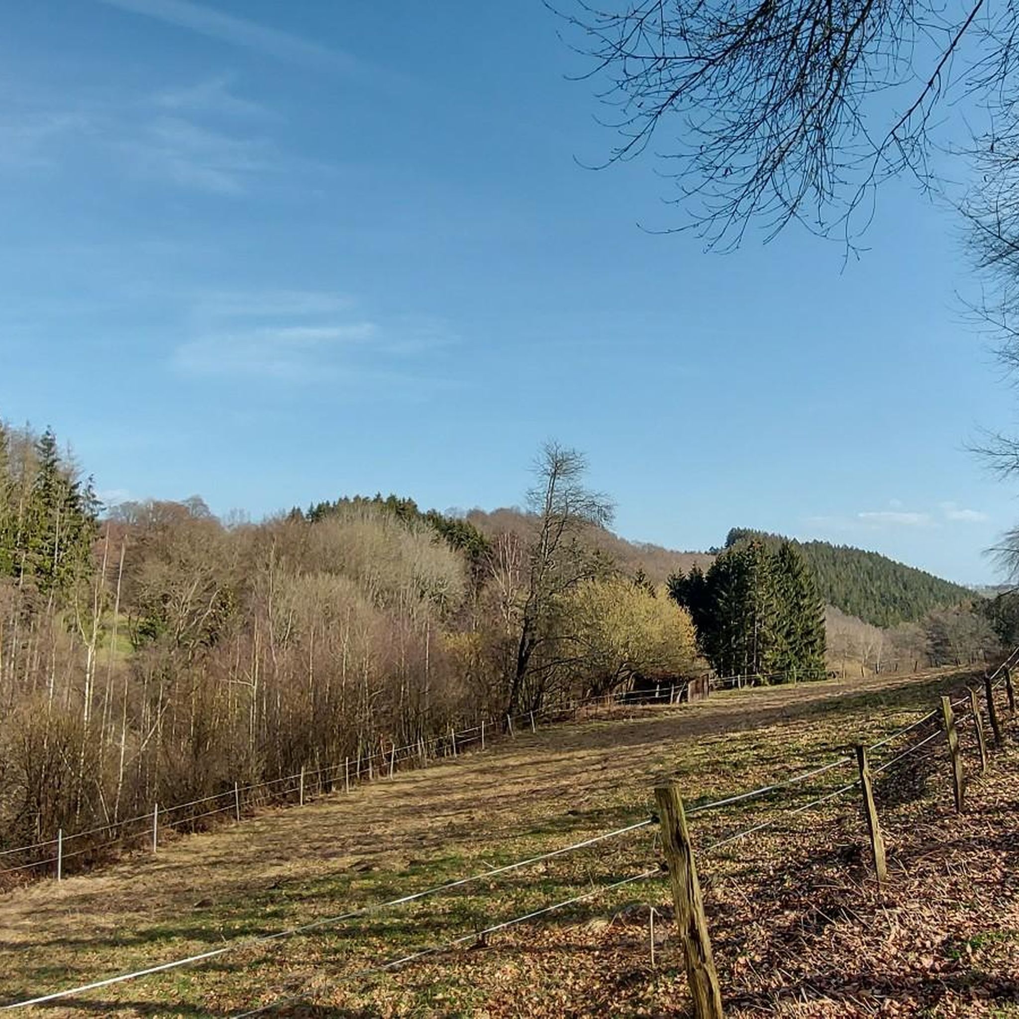
Hiking in Tiefenbachtal Bei Simmerath Mit Nebenbächen
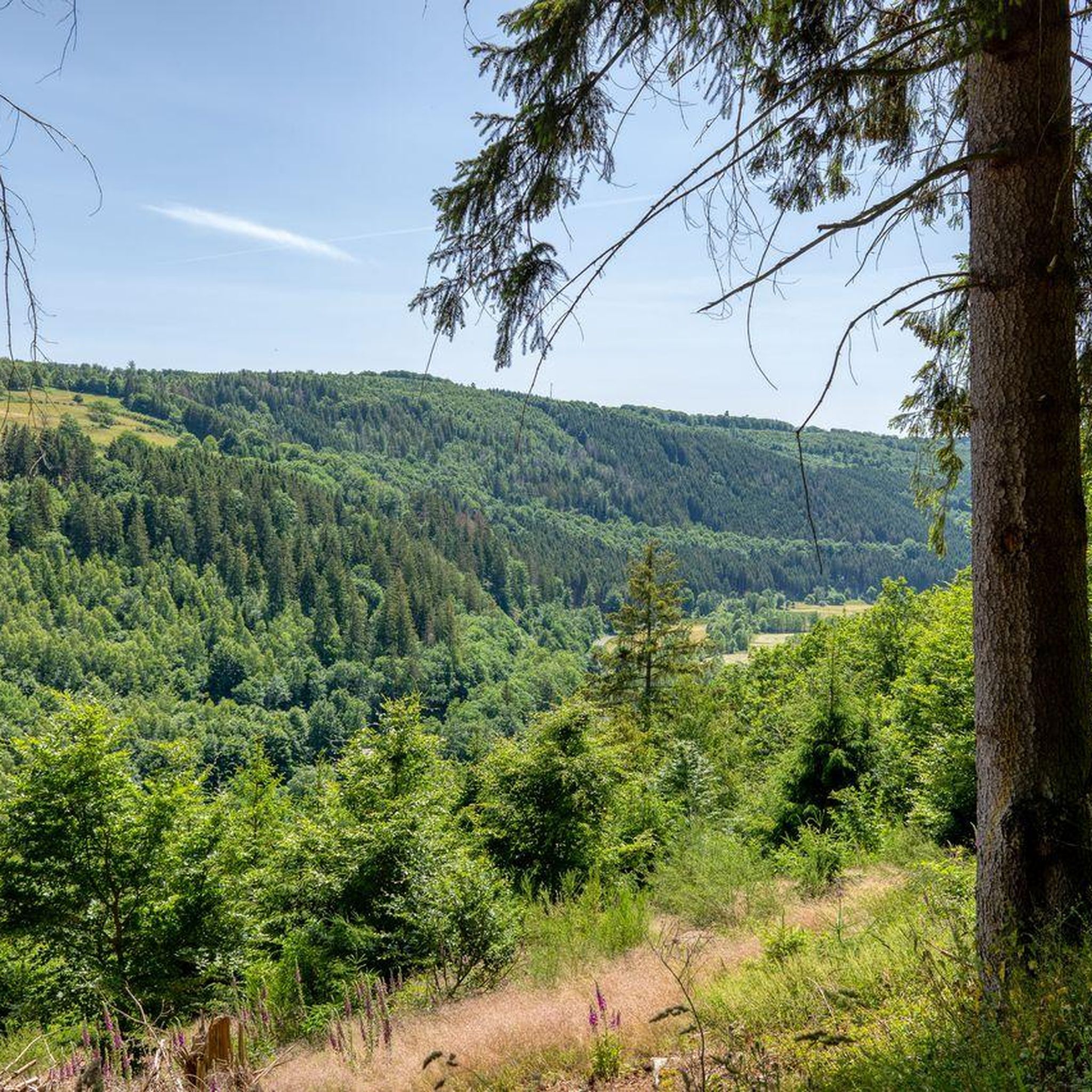
Cycling in Tiefenbachtal Bei Simmerath Mit Nebenbächen
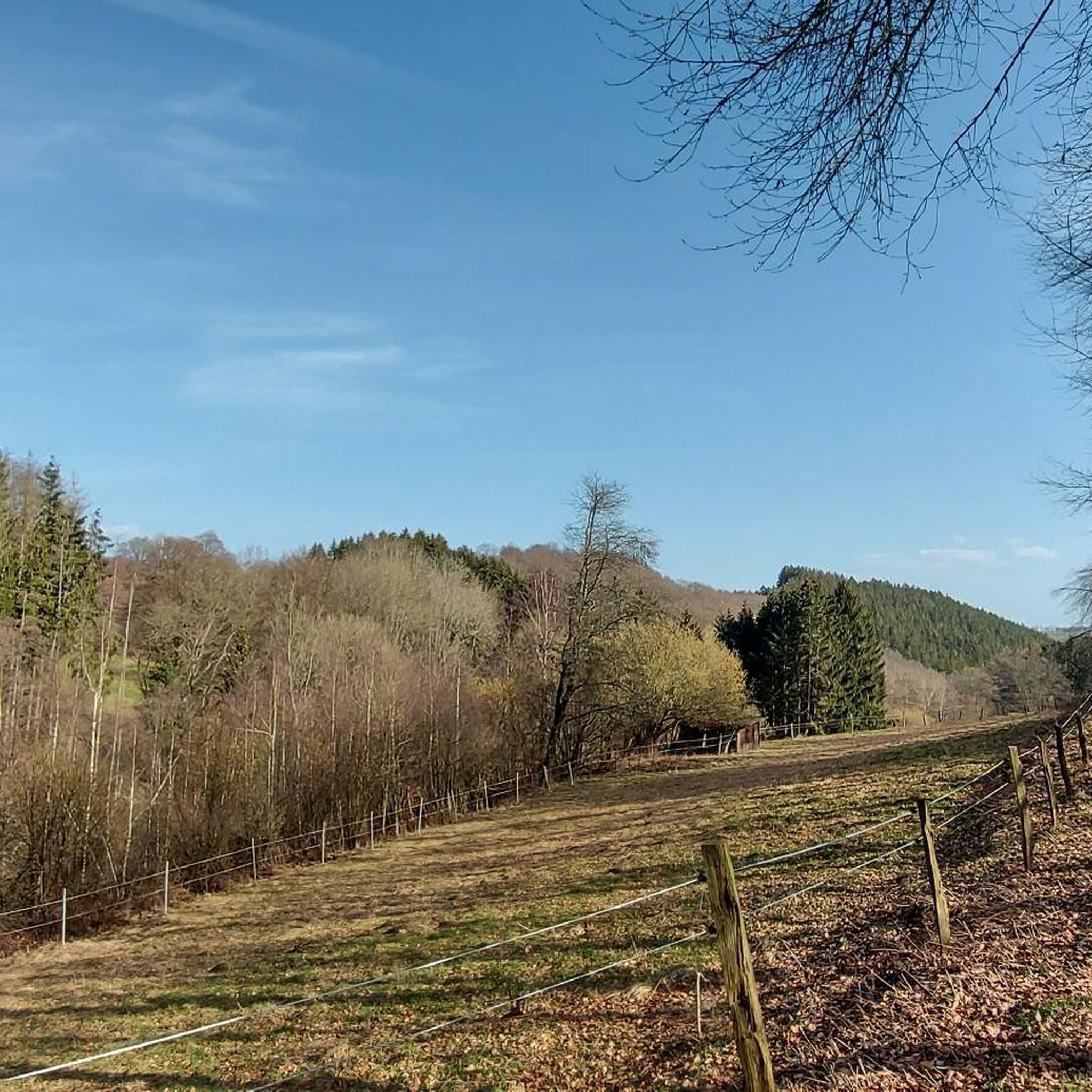
MTB Trails in Tiefenbachtal Bei Simmerath Mit Nebenbächen
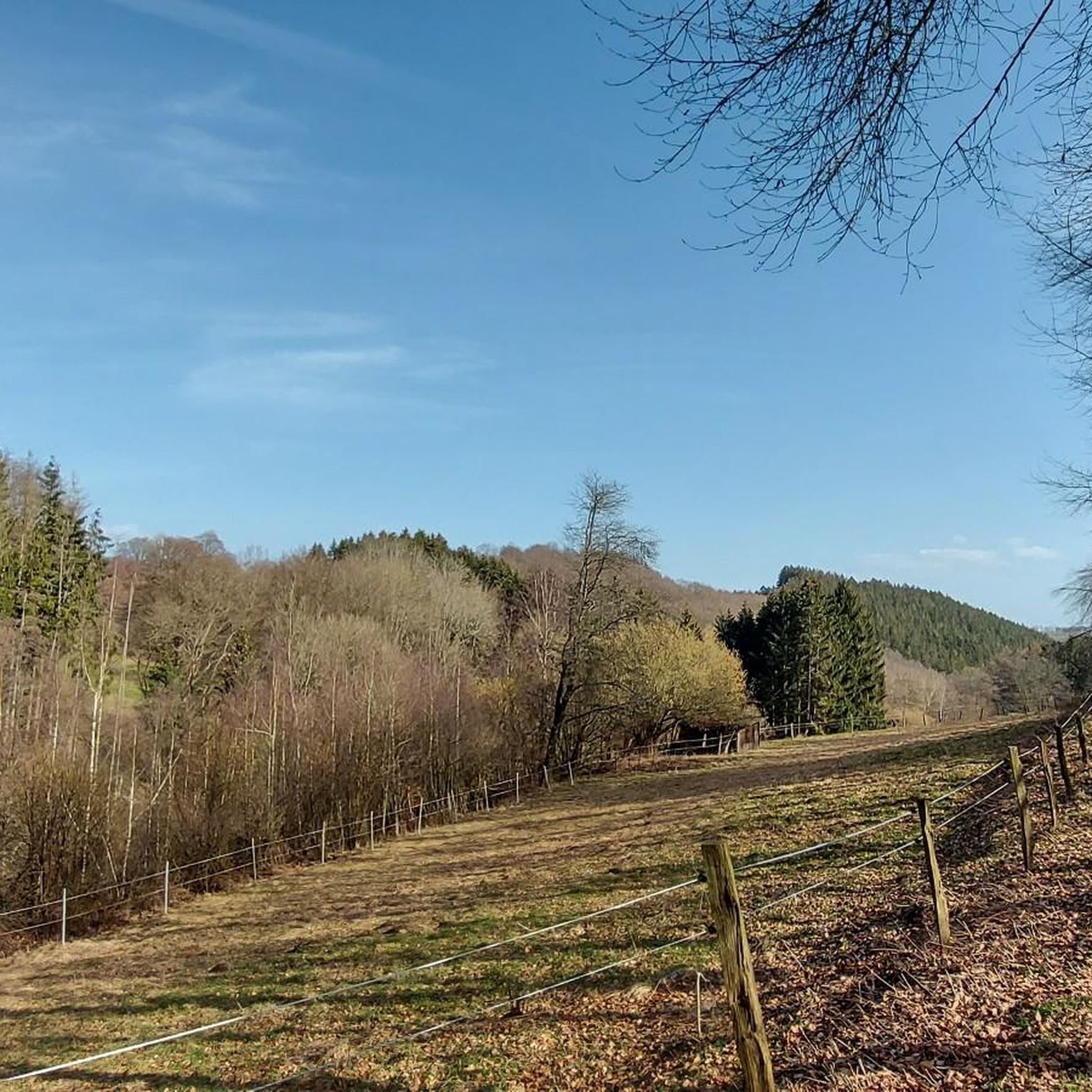
Road Cycling Routes in Tiefenbachtal Bei Simmerath Mit Nebenbächen
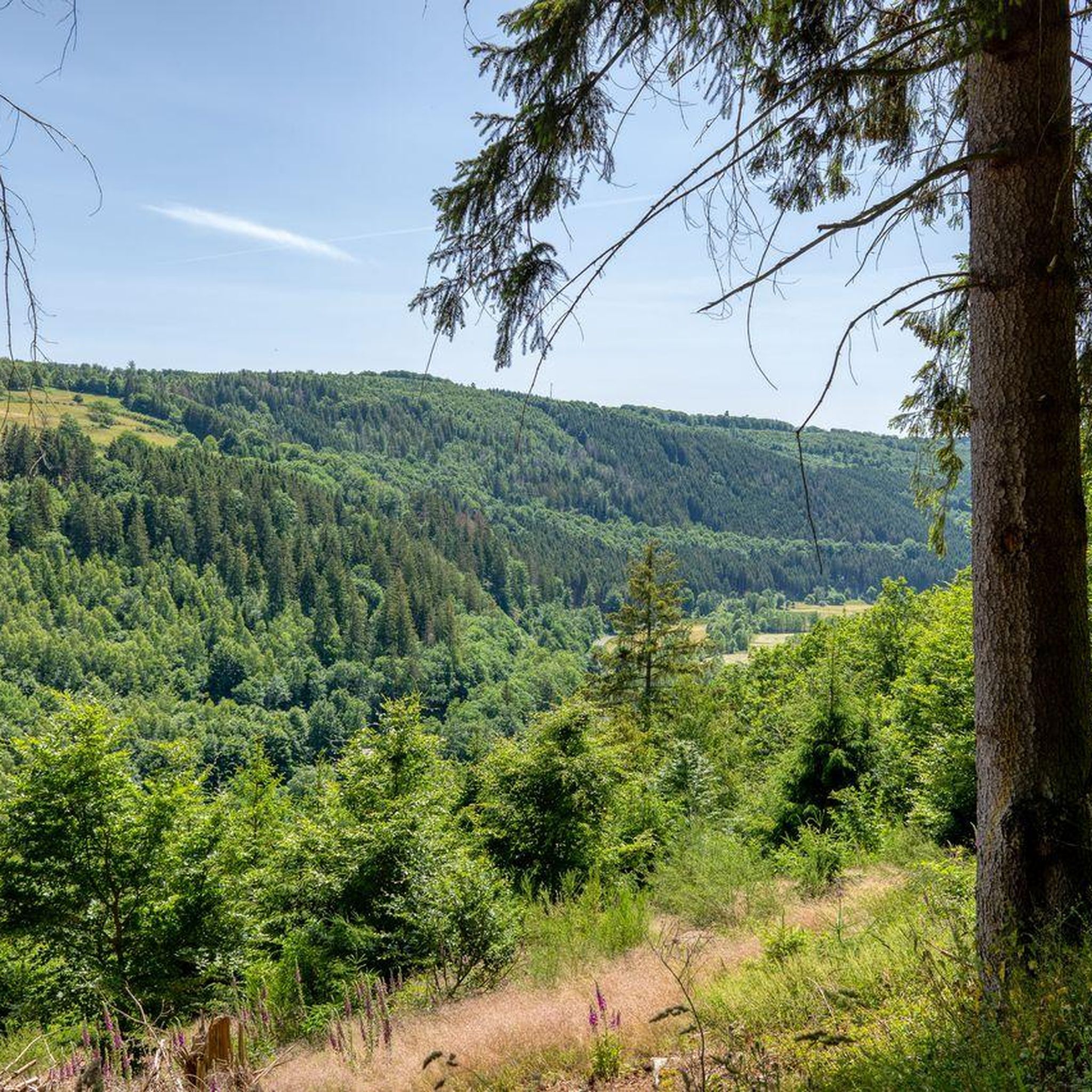
Running Trails in Tiefenbachtal Bei Simmerath Mit Nebenbächen
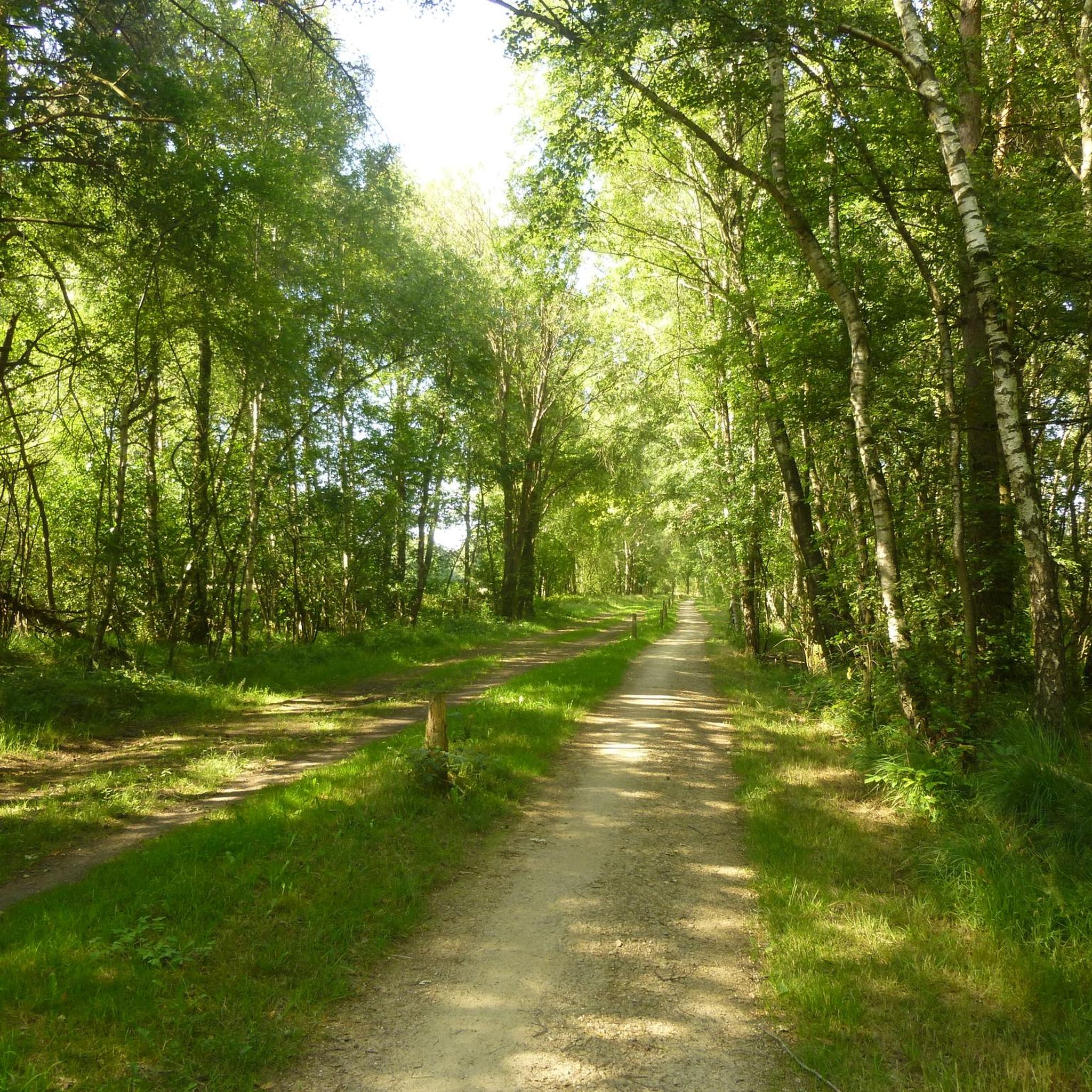
Mountain Hikes in Tiefenbachtal Bei Simmerath Mit Nebenbächen
Tips from the Community

The Vennradweg is very well developed. You can cycle with pleasure.
0
0

Beautiful cycle path
0
0
Beautiful cycle path
1
0

Four kilometers from the center of Eupen, it rises above the confluence of the Weser and Getzbach rivers
2
0
Beautiful cycle path along the Rursee
0
0

The shelter was well-maintained and clean on the day of the visit and is one of the few in the area.
0
0

The Kalltalsperre circular walk takes you around the still waters of the Kalltal Dam (Kalltalsperre), an artificial dam in the Kall Valley near Simmerath in the Aachen region of Germany. The dam itself was built in the 1930s to store the water of the Kall River and now serves as a drinking water reservoir for the surrounding municipalities. Therefore, swimming and water sports are not permitted here. However, for hikers, the area is ideal for a relaxing walk in nature, with a beautiful combination of water, forests, and rolling terrain. The walk around the Kalltalsperre can be accessed from several starting points, but one of the most popular access points is the Kallbrück Wanderparkplatz near Rollesbroich. From there, you follow well-marked paths that lead you first along the shore of the reservoir and then through the surrounding forests and fields. At approximately 6.5 to 7 kilometers in length, this is a moderately long circular walk of about one and a half to two hours, suitable for most recreational hikers. The trails are generally well-maintained, with slight elevation changes and occasional sections of woodland or natural terrain, but without any extreme climbs. What makes this circular walk so appealing is the varied landscape. First, you overlook the calm waters of the reservoir, which, in good weather, are beautifully reflected in the sun. Then, the paths lead you through wooded terrain, surrounded by tall trees, birds, and the sounds of nature. Occasionally, glimpses open onto the valley or the wide riverbed of the Kall River, completing the picture. Because the area is relatively quiet and not as crowded as some other tourist destinations in the Eifel region, you'll experience a sense of tranquility and space typical of the Eifel landscape during the loop around the dam. A pleasant variation on the short circular walk is a slightly longer route that starts in Simmerath and runs past the Lönsfelsen rocks and the ravine forest of the Kall Valley, eventually returning around the dam. This hike is approximately 13.5 kilometers long and combines the same water features with additional forest trails, gorges, and viewpoints, making it an excellent day hike for those who want a little more than just the direct loop. The route's style encourages a leisurely pace, allowing you to stop and enjoy the view of the dam and the Kall River flowing through the valley, as well as the variety of open meadows and woodland. This is an attractive hike year-round, with the greenery providing a lush experience in spring and summer, while in autumn the forests turn orange and gold. Even in winter, the landscape remains serene and peaceful, though the paths can be a little wetter.
0
0
Frequently Asked Questions
How many gravel bike trails are available in Tiefenbachtal Bei Simmerath Mit Nebenbächen?
There are over 120 gravel bike routes in Tiefenbachtal Bei Simmerath Mit Nebenbächen, offering a wide range of options for different skill levels and preferences.
Are there any beginner-friendly gravel bike routes in the area?
While many routes are moderate to difficult, there are a few easier options available. For instance, you can find routes that stick to flatter sections along the Rursee or through less hilly forest paths. komoot lists 4 easy routes in the region.
What are some challenging gravel bike trails near Simmerath?
The region is known for its challenging terrain. A difficult route that offers varied forest and lakeside scenery is the Kalltalsperre Shelter – Kalltalsperre Circular Trail loop, which is 18.4 miles (29.6 km) long with significant elevation changes. Another demanding option is the Eupen Reservoir (Wesertalsperre) – Weser Reservoir (Eupen Dam) loop from Simmerath, covering 42.6 km.
Are there family-friendly gravel biking options in Tiefenbachtal?
For families, it's best to look for routes with less elevation gain and smoother surfaces. While specific 'family-friendly' routes aren't explicitly highlighted, some sections along the Rursee or paths away from the main climbs could be suitable. Always check the route's difficulty and elevation profile before heading out with children.
What is the best time of year for gravel biking in Tiefenbachtal?
Spring and autumn are generally ideal for gravel biking in Tiefenbachtal Bei Simmerath Mit Nebenbächen. The temperatures are pleasant, and the natural scenery, especially around the Rursee and in the forests, is particularly beautiful. Summers can be warm, and winters may bring snow or icy conditions, making some trails less accessible.
Where can I find parking for gravel biking in Tiefenbachtal Bei Simmerath?
Parking is typically available in and around the main towns like Simmerath and at popular starting points for trails, especially near the Rursee and other dam areas. Look for designated parking lots near trailheads or public parking in villages. Always check local signage for any restrictions.
Are there any scenic viewpoints along the gravel bike routes?
Yes, the region offers numerous scenic viewpoints, particularly overlooking the Rursee and the surrounding valleys. The Rursee Loop Trail is known for its benches with views of the Rursee. Many routes also pass through elevated forest sections providing panoramic vistas of the Eifel landscape.
What kind of attractions can I see along the gravel bike trails?
The trails often pass by interesting historical and natural sites. You might encounter the Dedenborn Oil Mill, the serene Tiefenbach Valley, or even the unique Bat Cave. The region also features various religious buildings and natural monuments like the Kroley Marian Grotto.
Are there any loop trails for gravel biking in Tiefenbachtal?
Many of the gravel bike routes in Tiefenbachtal Bei Simmerath Mit Nebenbächen are designed as loops, allowing you to start and end at the same point. Examples include the Rursee Loop Trail and the Kalltalsperre Circular Trail loop, which are popular choices for their scenic circuits.
What do other gravel bikers enjoy most about the trails here?
The area is highly rated by the komoot community, with an average score of 4.6 stars from over 300 reviews. Reviewers often praise the diverse landscape, including rolling hills, dense woodlands, and the significant water bodies like the Rursee. The varied surfaces and the mix of challenging climbs and scenic descents are also frequently highlighted.
Are there cafes or pubs near the gravel trails for a break?
Yes, you'll find various cafes and pubs in the villages surrounding the Tiefenbachtal, particularly in Simmerath and along the Rursee. These establishments offer opportunities for a refreshment break or a meal, especially after completing a longer ride. It's a good idea to plan your route to pass through these villages if you intend to stop.
What are the typical distances of gravel bike trails in Tiefenbachtal?
Gravel bike trails in Tiefenbachtal Bei Simmerath Mit Nebenbächen vary significantly in length. You can find shorter routes, such as the Obersee at Einruhr – View of Einruhr loop at 15.8 km (9.8 miles), up to longer, more demanding tours like the Wesertalsperre (Vesdre Dam) – Vennbahn Near Lammersdorf loop, which spans nearly 50 km (30.8 miles).
Most popular routes in Tiefenbachtal Bei Simmerath Mit Nebenbächen
Most popular attractions in Tiefenbachtal Bei Simmerath Mit Nebenbächen

Get inspired with the komoot mobile app


Explore more
Browse the best Gravel rides in other regions.
