Muschelkalkgebiet Am Oschenberg
Muschelkalkgebiet Am Oschenberg
The best gravel rides in Muschelkalkgebiet Am Oschenberg
4.7
(25)
186
riders
58
rides
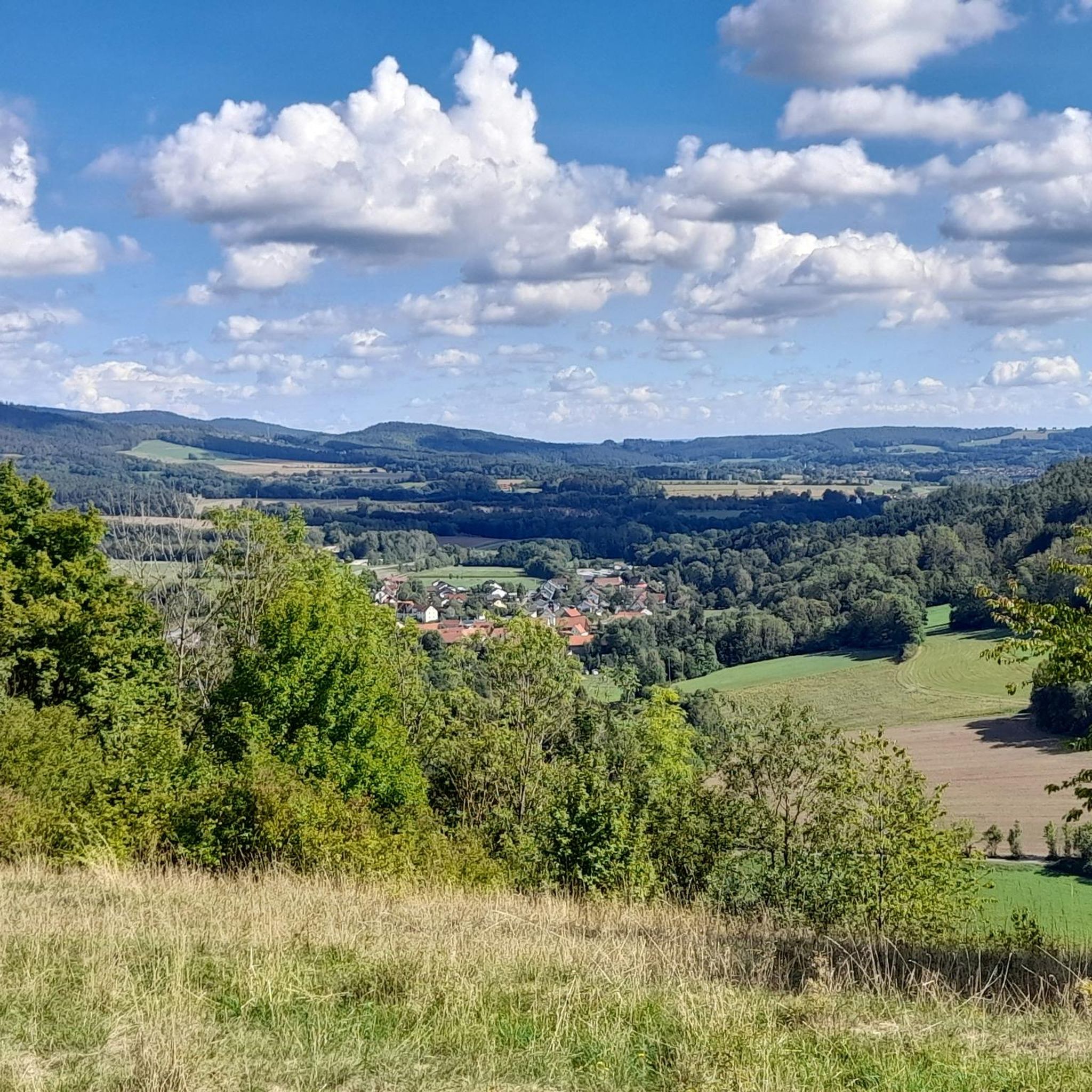
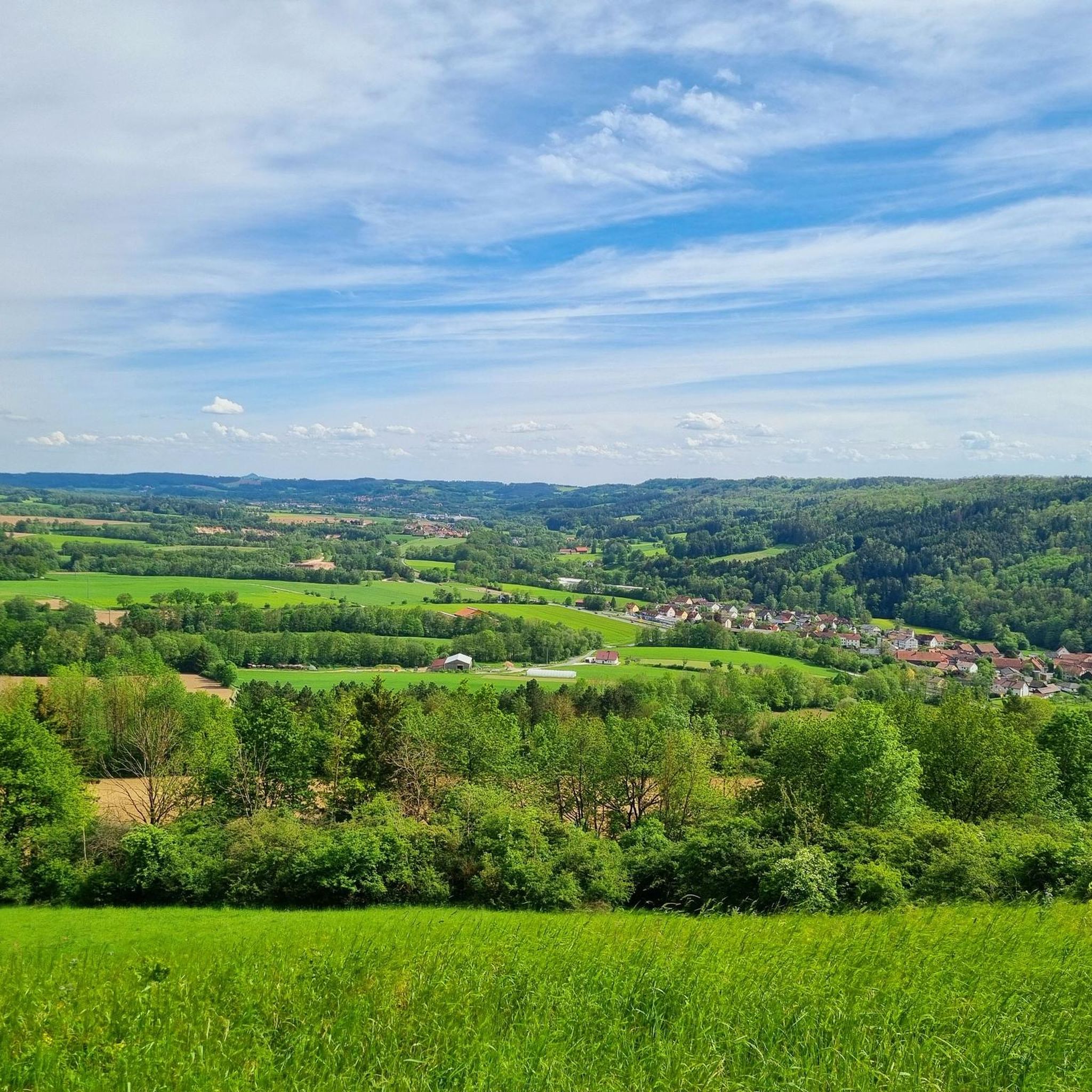
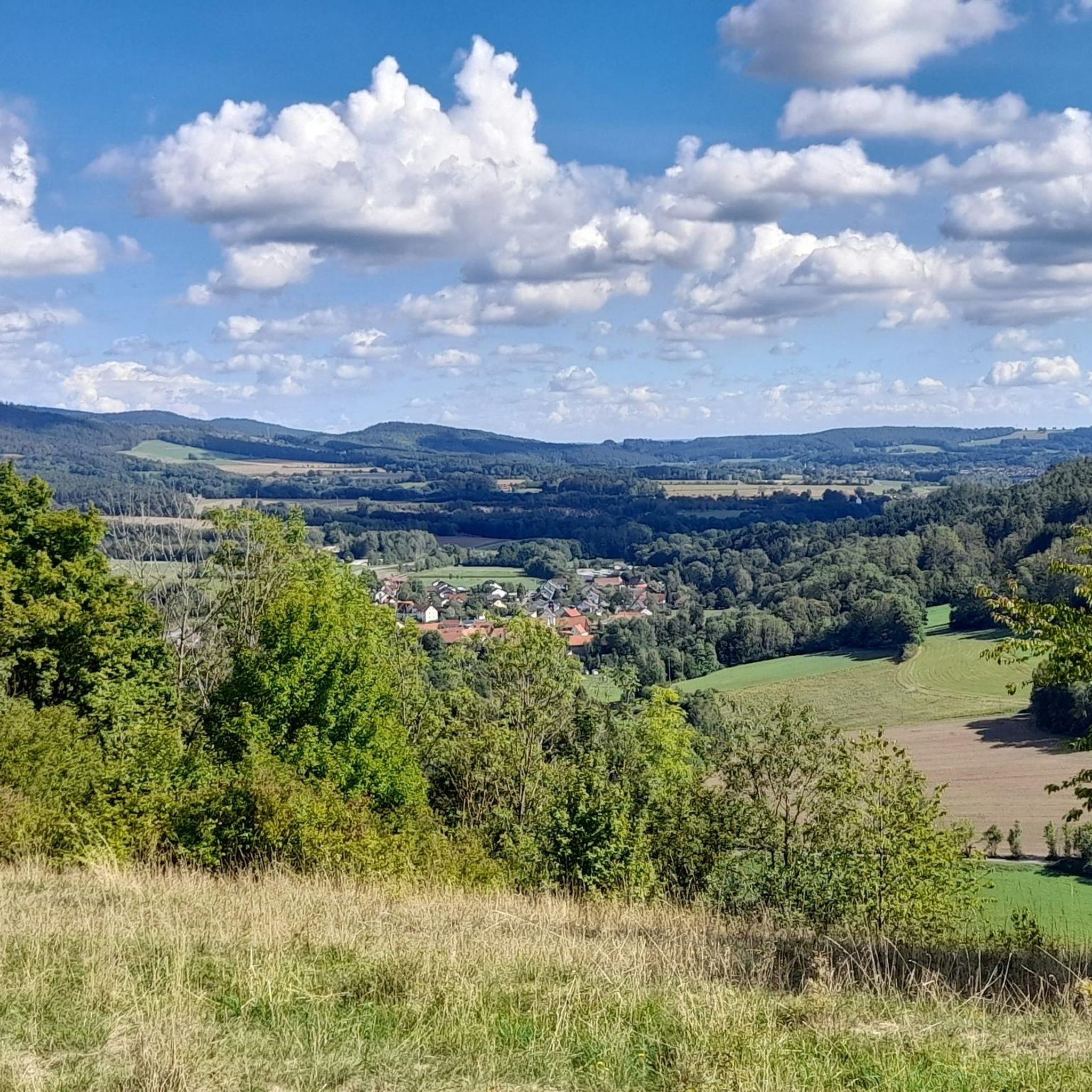
Gravel biking in Muschelkalkgebiet Am Oschenberg is characterized by its unique Muschelkalk (limestone) geology, forming an elevated plateau. The region features diverse landscapes including flatland mowing meadows, semi-dry grasslands on south-facing slopes, and mixed deciduous forests. Elevations reach up to 528 meters, offering varied terrain for gravel bikers. The area provides a mix of paved paths and unpaved former military tracks, suitable for different skill levels.
Best gravel bike trails in Muschelkalkgebiet Am Oschenberg
- The most popular gravel bike trail…
Last updated: May 22, 2026
4.5
(6)
34
riders
Hard gravel ride. Very good fitness required. Mostly paved surfaces. Suitable for all skill levels.
5
riders
Hard gravel ride. Very good fitness required. You may need to push your bike for some segments of this route.

Sign up for free
4.0
(1)
3
riders
Moderate gravel ride. Good fitness required. Mostly paved surfaces. Suitable for all skill levels.
5.0
(1)
3
riders
74.7km
04:36
1,010m
1,010m
Hard gravel ride. Very good fitness required. Mostly paved surfaces. Suitable for all skill levels.
8
riders
103km
06:20
1,120m
1,120m
Hard gravel ride. Very good fitness required. Mostly paved surfaces. Suitable for all skill levels.
Get access to more routes and recommendations from other explorers.
Sign up for free
Already have an account?
Our route recommendations are based on thousands of hikes, rides, and runs completed by other people on komoot.
Start today with a free account
Your next adventure awaits.
Login or Signup
Tips from the Community

A cool cycle path all summer long, always following the "Weissen Main" in the shade of ancient trees and rocks.
0
0

Bischofsgrün is, so to speak, the "heart" of the Fichtel Mountains – a state-recognized health resort nestled in the valley between the two highest peaks in Northern Bavaria, the Ochsenkopf (1024 m) and the Schneeberg (1051 m). Bischofsgrün is the ideal starting point for almost any outdoor activity: The modern Ochsenkopf North Cable Car takes you to the summit year-round. In summer, the Alpine Coaster (a year-round toboggan run), the climbing park, and downhill trails beckon. In winter, the town is a hotspot for downhill and cross-country skiing. The region boasts a vast network of hiking trails, including the famous Franconian Mountain Trail.
3
0

Very nice circular trail, nature reserve
0
0

Like most river sources, it's rather unspectacular, but if you're planning to cycle the Main cycle path anyway...
2
0
The Schafsteg (Sheep Footbridge) is a small but important bridge for hikers and walkers, spanning the Red Main River in this wooded area near Aichig, a district of Bayreuth. Located in a natural woodland setting, the footbridge is situated slightly outside the city center. It is an important part of the network of long-distance mountain hiking trails, allowing hikers and cyclists to cross the Red Main, for example, on routes leading towards Emtmannsberg or the source of the Red Main. Originally, the Schafsteg was a wooden structure. However, due to significant moisture damage over time and compromised stability, the city of Bayreuth replaced the bridge in 2018.
4
0

I always feel comfortable at Lake Weißenstadt.
3
1
Bischofsgrün is the pearl of the Fichtelgebirge.
4
1

Narrow, idyllic cycle path between Bayreuth and Bindlach
0
0
Frequently Asked Questions
How many gravel bike trails are there in Muschelkalkgebiet Am Oschenberg?
Muschelkalkgebiet Am Oschenberg offers a wide selection of gravel bike trails, with over 90 routes available for exploration. These trails cater to various skill levels, from moderate to difficult.
What is the typical terrain like for gravel biking in Muschelkalkgebiet Am Oschenberg?
The terrain is shaped by its unique Muschelkalk (limestone) geology, offering a diverse mix of surfaces. You'll find elevated plateaus with flat-land meadows, semi-dry grasslands on south-facing slopes, and extensive deciduous mixed forests. The routes often combine asphalt roads with firm, well-draining gravel paths and forest roads, providing a varied riding experience.
What are the difficulty levels of gravel bike trails in Muschelkalkgebiet Am Oschenberg?
The trails in Muschelkalkgebiet Am Oschenberg range from moderate to difficult. While there are a few easier options, the majority of the 94 available routes are considered challenging, with 66 routes rated as difficult and 26 as moderate. This makes the region particularly appealing for experienced gravel bikers looking for a demanding ride.
What can I see along the gravel bike trails in Muschelkalkgebiet Am Oschenberg?
Beyond the natural beauty of the limestone-influenced landscapes, you can encounter several points of interest. Notable landmarks include the Oschenberg Communication Tower, the Muschelkalk Area at Oschenberg itself, and the Muschelkalkgebiet am Oschenberg Nature Reserve. You might also spot the unique Wooden Ant Sculptures.
Are there good viewpoints along the gravel trails?
Yes, the elevated Muschelkalk plateau, reaching up to 528 meters, offers panoramic views of the surrounding landscape. Routes like the View of Bayreuth – Panoramic view of Oberwaiz loop from Bayreuth-St. Georgen are specifically designed to lead through scenic viewpoints. The Kreuzstein near Nemmersdorf is another excellent spot for vistas.
What do other gravel bikers enjoy most about gravel biking in Muschelkalkgebiet Am Oschenberg?
The area is highly rated by the komoot community, with an average score of 4.8 stars from over 50 reviews. Reviewers often praise the diverse terrain, the mix of open meadows and forested areas, and the panoramic views. The well-established network of gravel and forest paths, suitable for various skill levels, also contributes to an engaging cycling experience.
Are there any circular gravel routes available?
Yes, many of the gravel routes in Muschelkalkgebiet Am Oschenberg are designed as loops, allowing you to start and end at the same point. For example, the challenging Oschenberg Communication Tower – North-South View at Kreuzstein loop from Bayreuth-St. Georgen is a popular circular option.
How long are the gravel routes typically in Muschelkalkgebiet Am Oschenberg?
The gravel routes vary significantly in length. You can find shorter loops around 23 miles (37 km) like the Hop Garden at Wilhelminenaue – Weiherfelsen Sandstone Cave loop from Bayreuth-St. Georgen, up to longer, more demanding rides exceeding 40 miles (65 km), such as the Kemnath Town Center – Wilhelminenaue Park loop from Bayreuth-St. Georgen.
What is the best time of year for gravel biking in Muschelkalkgebiet Am Oschenberg?
The region is generally enjoyable for gravel biking throughout the warmer months. Spring and autumn offer pleasant temperatures and beautiful scenery, with changing foliage in the mixed forests. Summer is also suitable, though it's advisable to start earlier in the day to avoid the midday heat. Winter conditions can vary, with potential for snow or ice on trails.
Are there family-friendly gravel routes in Muschelkalkgebiet Am Oschenberg?
While many routes are rated moderate to difficult, there are a few easier options available. It's best to check individual route descriptions on komoot for specific details on elevation gain and terrain to ensure suitability for all family members. Look for routes explicitly marked as 'easy' or with lower elevation changes.
Can I bring my dog on the gravel trails?
The Muschelkalkgebiet Am Oschenberg is a nature reserve with diverse habitats. While many outdoor areas in Germany are dog-friendly, it's crucial to keep dogs on a leash, especially in nature reserves, to protect wildlife and maintain the natural environment. Always check local signage for specific regulations.
Where can I park when gravel biking in Muschelkalkgebiet Am Oschenberg?
Parking is generally available at various access points around the Muschelkalkgebiet Am Oschenberg, particularly near towns like Bindlach or Bayreuth-St. Georgen, which serve as common starting points for many routes. Specific parking information can often be found in the details of individual komoot tours.
Are there cafes or pubs near the gravel trails?
Yes, the region is close to towns like Bayreuth, Bindlach, and smaller villages, where you can find cafes, pubs, and restaurants to refuel after your ride. These establishments offer opportunities to enjoy local culinary delights and refreshments.
Most popular routes in Muschelkalkgebiet Am Oschenberg
Most popular attractions in Muschelkalkgebiet Am Oschenberg

Get inspired with the komoot mobile app


Explore more
Browse the best Gravel rides in other regions.
