The best gravel rides around Llanrhaeadr-Ym-Mochnant
5.0
(1)
6
riders
3
rides
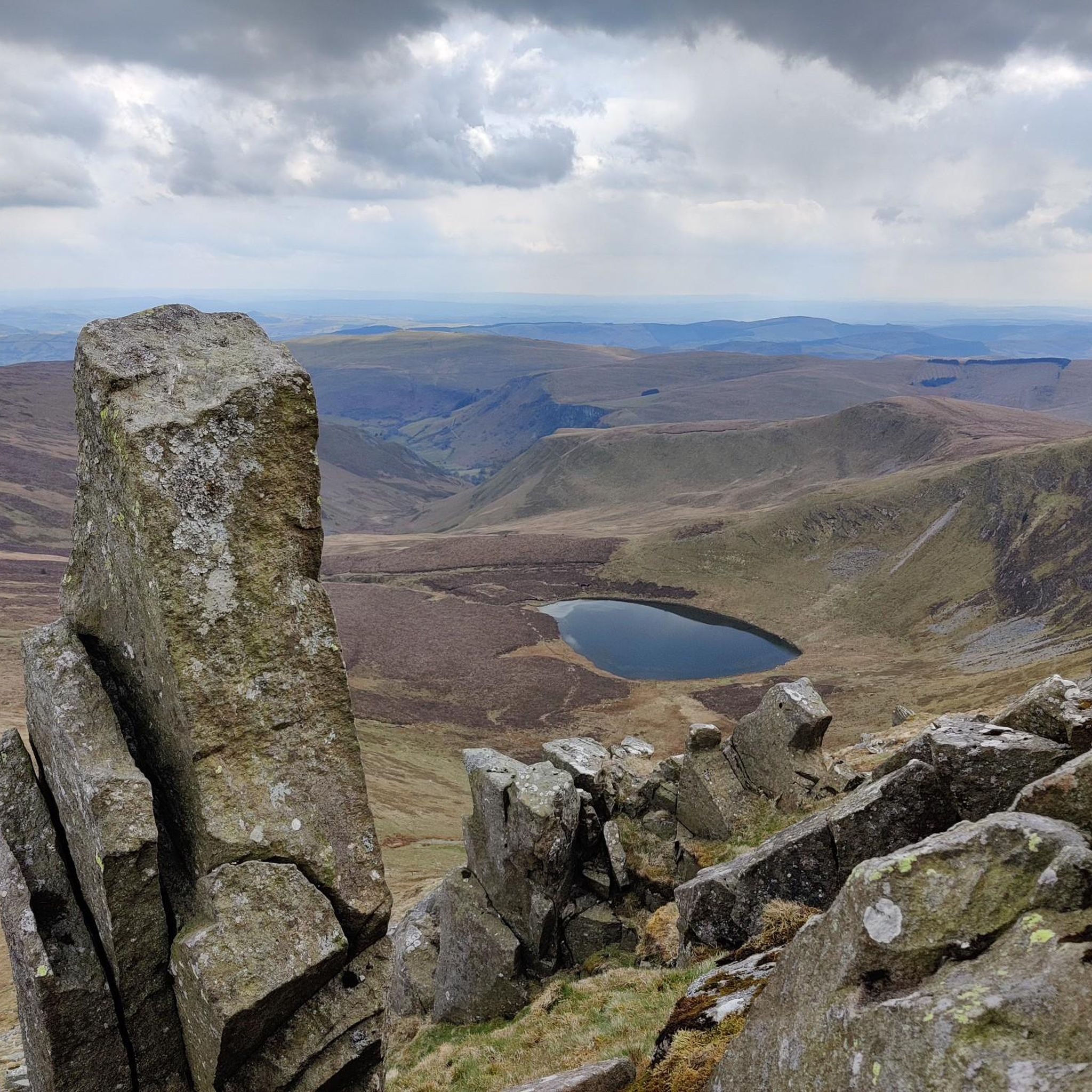
Gravel biking around Llanrhaeadr-Ym-Mochnant offers diverse terrain within the Tanat Valley and at the foothills of the Berwyn Mountains. The region features extensive networks of gravel roads, byways, and ancient drover's tracks, often characterized by rocky surfaces. Cyclists encounter varied landscapes, from scenic valleys and quiet country roads to challenging mountain passes and significant elevation changes. Notable natural features include Pistyll Rhaeadr, Britain's tallest single-drop waterfall, and the expansive Lake Vyrnwy.
Best gravel bike trails around Llanrhaeadr-Ym-Mochnant
- The most popular gravel bike trail is Lake Vyrnwy Straining Tower – Wayfarer Eastern Approach loop from Llanarmon Dyffryn Ceiriog, a 50.5 miles (81.2 km) trail that takes 5 hours 54 minutes to complete. This difficult route includes challenging climbs and views towards Lake Vyrnwy.
- Another top favourite among local gravel bikers is Wayfarer Memorial Traverse – Llangynog Climb loop from Llanarmon Dyffryn Ceiriog, a difficult 30.7 miles (49.4 km) path. This route traverses parts of the Berwyn Mountains, offering substantial elevation gains.
- Local gravel bikers also love the Dyfnant Forest Track – Llanfyllin Town Centre loop from Llanfyllin, a 27.8 miles (44.8 km) trail leading through varied rural landscapes, often completed in about 3 hours 18 minutes.
- Gravel biking around Llanrhaeadr-Ym-Mochnant is defined by mountain passes, remote drover's tracks, and scenic valleys. The network offers options for different ability levels, from moderate valley rides to demanding mountain ascents.
- The routes in Llanrhaeadr-Ym-Mochnant are highly rated by the komoot community with an average score of 5.0 stars from over 1 review. More than 5 gravel bikers have used komoot to explore Llanrhaeadr-Ym-Mochnant's varied terrain.
Last updated: May 21, 2026
2
riders
Hard gravel ride. Very good fitness required. Mostly paved surfaces. Suitable for all skill levels.
2
riders
49.4km
03:51
1,140m
1,140m
Hard gravel ride. Very good fitness required. Mostly paved surfaces. Suitable for all skill levels.

Sign up for free
5.0
(1)
1
riders
44.8km
03:18
960m
960m
Hard gravel ride. Very good fitness required. Mostly paved surfaces. Suitable for all skill levels.
Our route recommendations are based on thousands of hikes, rides, and runs completed by other people on komoot.
Start today with a free account
Your next adventure awaits.
Login or Signup
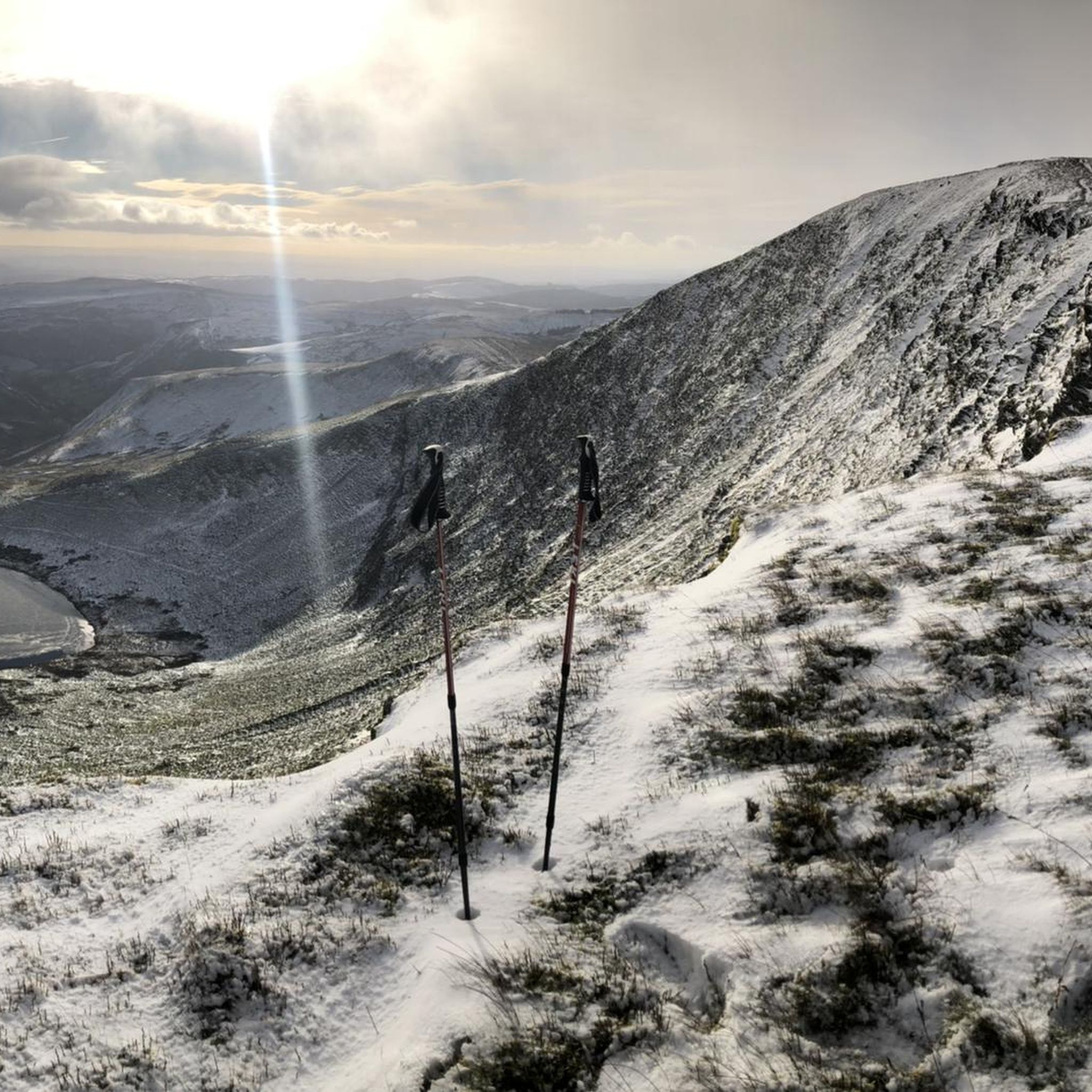
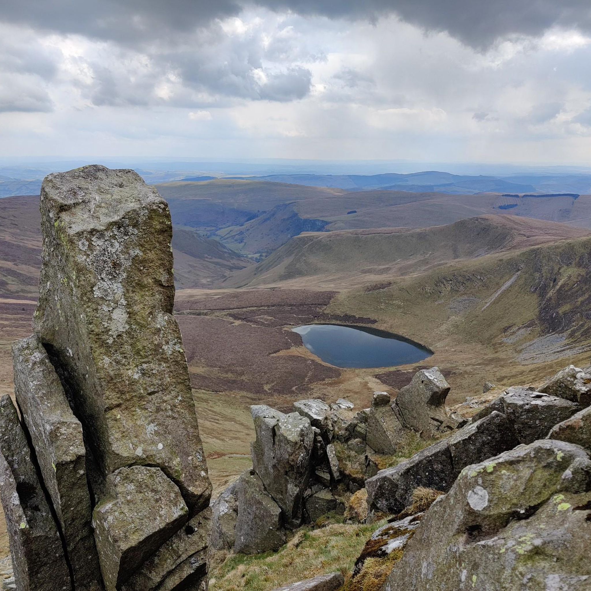
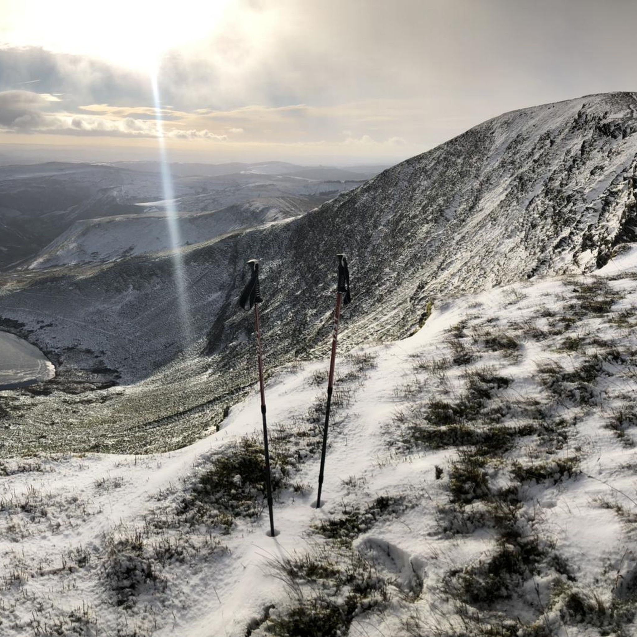
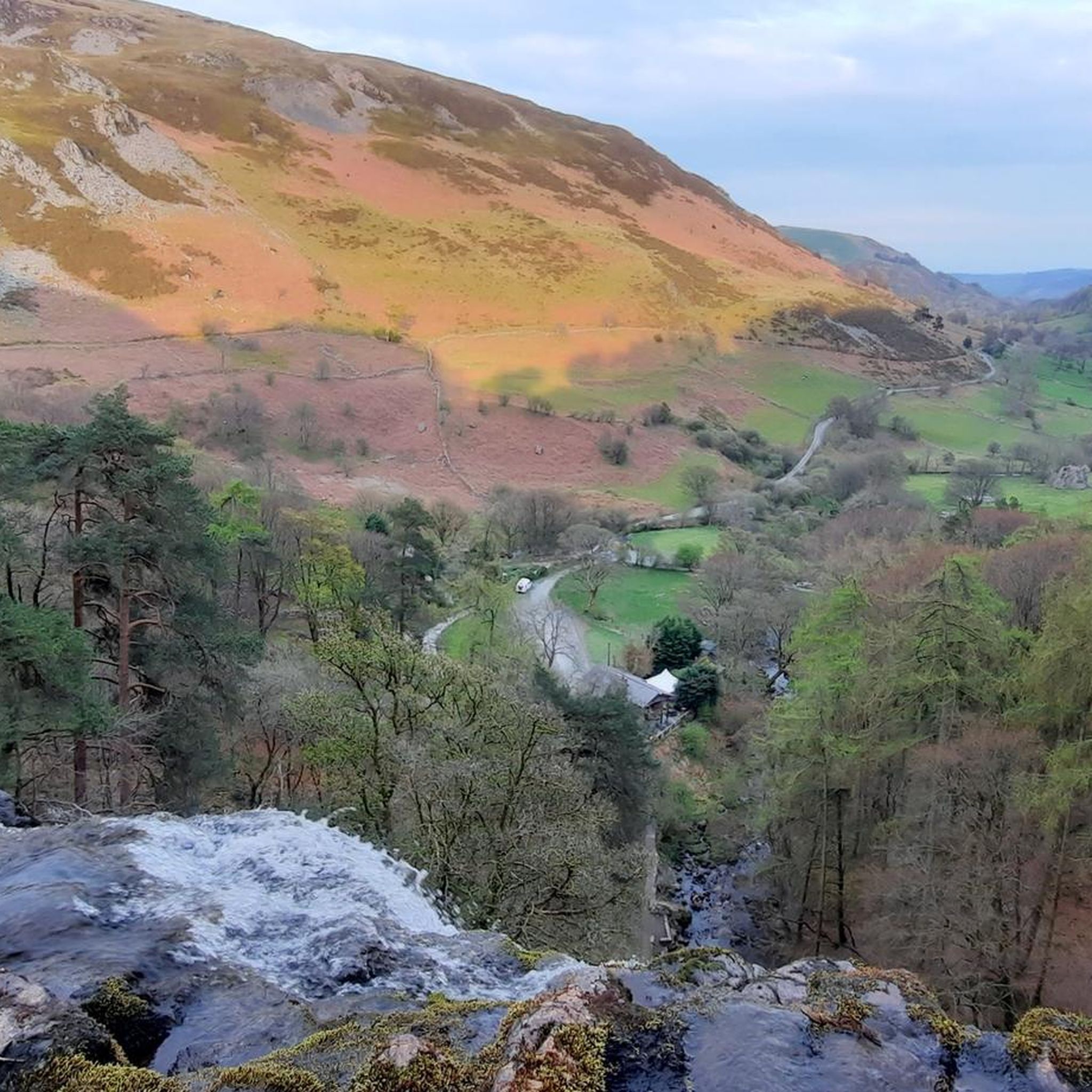
Tips from the Community

Lake Vyrnwys straining tower! Lovely place and gives it that fairy tale vibe. One of my special places is Vyrnwy.
0
0


The track from the East is broken but doable on a gravel bike - I had to push the last few hundred metres. Awkward terrain - large stones - and plenty of puddles - but a fabulous day on 2 wheels!
0
0

The Straining Tower at Lake Vyrnwy is an intake tower built to extract water from the lake. The tower stands on the north shore of Lake Vyrnwy, near the village of Llanwddyn, in Powys, Wales. The Lake Vyrnwy dam project was designed to provide a water supply to the city of Liverpool and work on the dam began in 1881. On its completion 11 years later, the lake was the largest reservoir in Europe and water was drawn from it into the straining tower and carried to Liverpool on a 110km-long aqueduct. The engineers for the project were Thomas Hawksley and George Frederick Deacon, although the straining tower was entirely Deacon's design. The tower is constructed in a Gothic Revival style, purportedly based on the tower of the castle at Chillon, Switzerland. It draws heavily on the contemporaneous work of William Burges, whose Cardiff Castle and Castell Coch are clear influences. The straining tower is a Grade I listed building.
3
0
The Straining Tower at Lake Vyrnwy is an intake tower built to extract water from the lake. The tower stands on the north shore of Lake Vyrnwy, near the village of Llanwddyn, in Powys, Wales. The Lake Vyrnwy dam project was designed to provide a water supply to the city of Liverpool and work on the dam began in 1881. On its completion 11 years later, the lake was the largest reservoir in Europe and water was drawn from it into the straining tower and carried to Liverpool on a 110km-long aqueduct. The engineers for the project were Thomas Hawksley and George Frederick Deacon, although the straining tower was entirely Deacon's design. The tower is constructed in a Gothic Revival style, purportedly based on the tower of the castle at Chillon, Switzerland. It draws heavily on the contemporaneous work of William Burges, whose Cardiff Castle and Castell Coch are clear influences. The straining tower is a Grade I listed building
5
0
Lake Vyrnwy (Welsh: Llyn Efyrnwy, pronounced [ɛˈvərnʊɨ] or Llyn Llanwddyn) is a reservoir in Powys, Wales, built in the 1880s for Liverpool Corporation Waterworks to supply Liverpool with fresh water. It flooded the head of the Vyrnwy (Welsh: Afon Efyrnwy) valley and submerged the village of Llanwddyn.
5
0

This scenic well-surfaced track is a pleasant alternative to the road. It cuts through Dynant Forest.
1
0
Frequently Asked Questions
What kind of terrain can I expect on gravel bike trails around Llanrhaeadr-Ym-Mochnant?
The region offers diverse terrain, from scenic valleys and quiet country roads to challenging mountain passes. You'll encounter extensive networks of gravel roads, byways, and ancient drover's tracks, often characterized by rocky surfaces rather than muddy ones, making them suitable for year-round riding. Expect significant elevation changes, especially in the foothills of the Berwyn Mountains.
Are there gravel biking routes suitable for beginners or those looking for an easier ride?
While many routes in the area involve significant climbs, there are options for varying skill levels. The guide features Closed Bridge loop from Llansantffraid-ym-Mechain, a moderate 17.2-mile (27.8 km) trail that leads through varied rural landscapes and is often completed in about 2 hours 5 minutes, offering a less arduous experience.
What are the more challenging gravel biking routes in the area?
For experienced gravel bikers seeking a challenge, routes like the Lake Vyrnwy Straining Tower – Wayfarer Eastern Approach loop from Llanarmon Dyffryn Ceiriog offer difficult terrain over 50.5 miles (81.2 km) with substantial elevation gains and views towards Lake Vyrnwy. Another demanding option is the Wayfarer Memorial Pass – Wayfarer Eastern Approach loop from Llangynog, which traverses parts of the Berwyn Mountains over 32.4 miles (52.1 km).
How many gravel bike trails are there in Llanrhaeadr-Ym-Mochnant?
There are 6 gravel biking routes detailed in this guide for the Llanrhaeadr-Ym-Mochnant area, ranging from moderate to difficult. These routes cover various landscapes, from valley rides to mountain ascents.
Can I cycle to Pistyll Rhaeadr, Britain's tallest waterfall?
Yes, Pistyll Rhaeadr is a prominent natural feature in the region, and there are cycling routes that can take you near it. While some trails directly around the waterfall are more suited for walking, the broader area offers gravel routes that allow you to experience the stunning countryside surrounding this 240-foot (80m) waterfall. You can find more information about the waterfall itself at Pistyll Rhaeadr.
Are there gravel biking routes around Lake Vyrnwy?
Yes, Lake Vyrnwy is a popular destination for cyclists. The region offers routes that include sections around the lake, providing stunning views and varied terrain. For example, the difficult Lake Vyrnwy Straining Tower – Wayfarer Eastern Approach loop from Llanarmon Dyffryn Ceiriog incorporates views towards Lake Vyrnwy.
Are there any circular gravel biking routes available?
Many of the gravel biking routes in the Llanrhaeadr-Ym-Mochnant area are designed as loops, allowing you to start and end in the same location. Examples include the Lake Vyrnwy Straining Tower – Wayfarer Eastern Approach loop from Llanarmon Dyffryn Ceiriog and the Wayfarer Memorial Pass – Wayfarer Eastern Approach loop from Llangynog.
Where can I find parking for gravel biking in Llanrhaeadr-Ym-Mochnant?
Llanrhaeadr-Ym-Mochnant village itself offers practical amenities, including parking options. Additionally, starting points for various routes, such as Llanarmon Dyffryn Ceiriog or Llangynog, typically have designated parking areas for visitors. It's advisable to check specific route details for recommended parking locations.
Are there cafes or pubs along the gravel biking routes?
The village of Llanrhaeadr-Ym-Mochnant provides amenities including pubs, a hotel, and a cafe. While specific routes may not have facilities directly on the trail, you can plan your rides to start or end in the village or pass through other small communities that offer refreshment stops.
Is public transport available to reach the gravel biking areas?
Public transport options to reach the more remote gravel biking areas around Llanrhaeadr-Ym-Mochnant can be limited. It's generally recommended to travel by car to access the starting points of many trails. However, local bus services might connect larger towns to the village; checking local transport schedules is advised.
What nearby attractions can I explore in addition to gravel biking?
Beyond the trails, the region boasts several attractions. You can visit Pistyll Rhaeadr, Britain's tallest single-drop waterfall. The Berwyn Mountains offer stunning viewpoints like Cadair Berwyn Summit and Moel Sych Summit Cairn. The village itself has a charming character, having been a filming location for movies.
What do other gravel bikers enjoy most about gravel biking in Llanrhaeadr-Ym-Mochnant?
The area is highly rated by the komoot community, with an average score of 4.5 stars from over 2 reviews. Gravel bikers often praise the diverse terrain, from remote drover's tracks to scenic valleys, and the challenging mountain passes that offer rewarding views. The rocky surfaces also make it a good option for year-round riding.
Most popular routes around Llanrhaeadr-Ym-Mochnant
Most popular attractions around Llanrhaeadr-Ym-Mochnant

Get inspired with the komoot mobile app


Explore more
Browse the best Gravel rides in other regions.
