The best gravel rides around Cotcliffe
4.0
(2)
16
riders
8
rides
Gravel biking around Cotcliffe offers a diverse landscape characterized by undulating terrain, woodlands, and open country paths. The region features a mix of climbs and descents, providing varied challenges for gravel cyclists. Routes often traverse areas near reservoirs and through forested sections, with elevation gains indicating a hilly environment. This makes Cotcliffe suitable for exploring different types of gravel bike trails.
Best gravel bike trails around Cotcliffe
- The most popular gravel bike trail is Osmotherley South End Climb – Cod…
Last updated: July 30, 2026
5
riders
28.6km
02:01
500m
500m
Hard gravel ride. Very good fitness required. Mostly paved surfaces. Suitable for all skill levels.
4.0
(1)
3
riders
15.2km
01:04
250m
260m
Moderate gravel ride. Good fitness required. Mostly paved surfaces. Suitable for all skill levels.

Sign up for free
4.0
(1)
2
riders
Moderate gravel ride. Good fitness required. Mostly paved surfaces. Suitable for all skill levels.
4.0
(1)
3
riders
23.6km
01:28
90m
90m
Easy gravel ride. Great for any fitness level. Mostly paved surfaces. Suitable for all skill levels.
2
riders
26.0km
01:44
570m
570m
Hard gravel ride. Very good fitness required. Mostly paved surfaces. Suitable for all skill levels.
Get access to more routes and recommendations from other explorers.
Sign up for free
Already have an account?
Our route recommendations are based on thousands of hikes, rides, and runs completed by other people on komoot.
Start today with a free account
Your next adventure awaits.
Login or Signup
Tips from the Community

Stayed at one of the local pubs, was good but their internet connection was non-existent, had to pay for a 24hr hotspot with EE
0
0


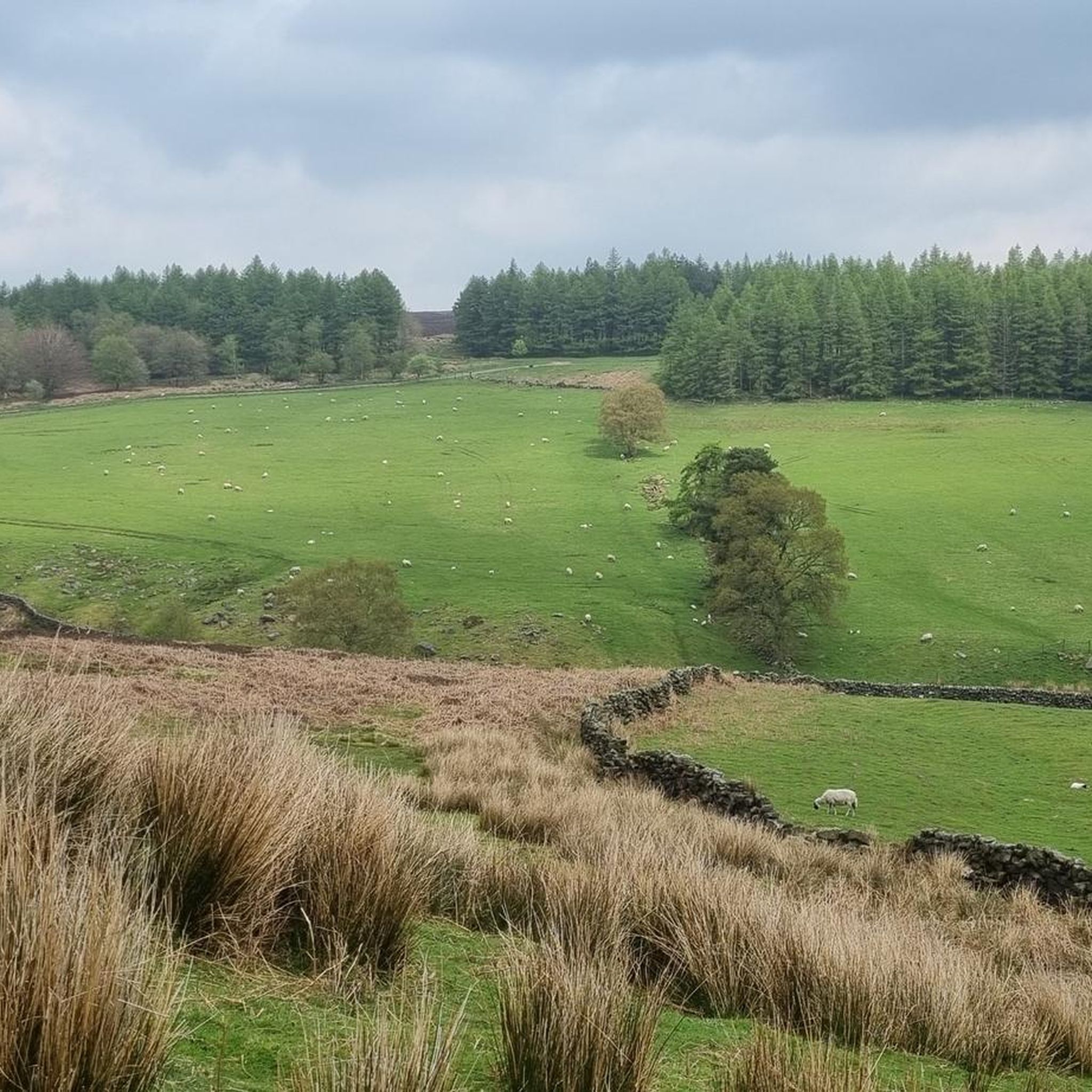
Easy parking (ice cream van in summer!) at Sheep Wash, great path through the coniferous wood running along the southern edge of the reservoir, awesome views, cool breeze across the water, option to follow numerous tracks east into the woods around Cote Garth and Golden Square. Lots of familys, dog walkers and hikers - something for everyone here.
1
0
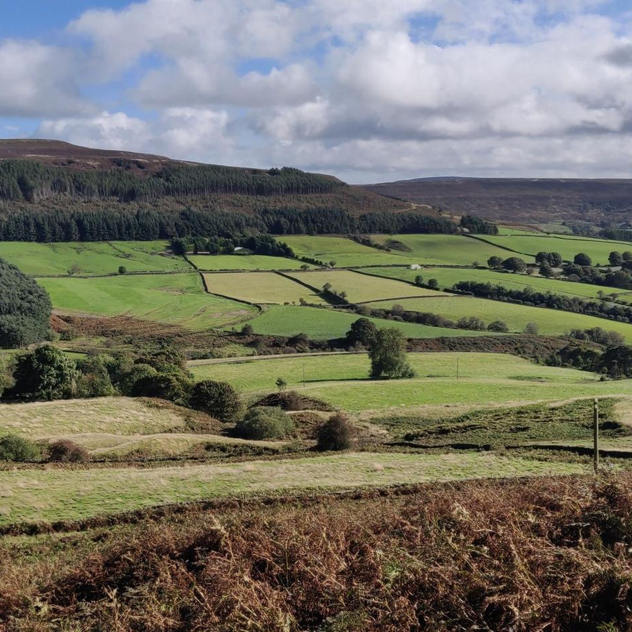
Quintessential North Yorkshire village, very picturesque with good amenities and access points to the northwest of the NYM National Park. However, can be very congested with cars so parking is difficult. Drive north and park at Cod Beck Reservoir, then add Osmotherley to your hiking route. Lots of roads and public footpaths to choose from.
1
0

This track is close to the destination in Thirsk. Pleased it had been dry weather for the past few days as the surface would carry mud when raining
0
0
This point seems to be elevated more so on this trail. You go througha gate into a field and the track becomes partly submerged. You have to be careful as your pedals could easily catch the sides of the hollow track and throw you on the bike
0
0
This section would be bad through rain fall. The last week or so has been quite dry and windy so the surface was quite dry. Picking a ride line was still required as the bike would still sink partly and sway sidewards if riding over the worse patches. I kept to the very far left and right sides and got through it decently
1
0

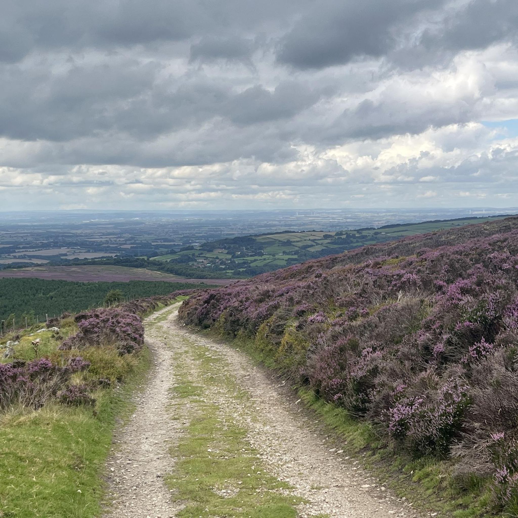
Square Corner might just be a car park, but this is a car park to end all car parks! On Thimbleby Moor, with views of the Black Hambleton hill to the south and with beautiful views down the valley to the town of Osmotherley to the west. Life is good again.
0
0
Frequently Asked Questions
How many gravel bike trails are available in Cotcliffe?
There are 8 gravel bike routes documented on komoot for the Cotcliffe area, offering a variety of experiences for different skill levels.
Are there easy gravel bike trails suitable for beginners or families in Cotcliffe?
Yes, Cotcliffe offers routes suitable for beginners. The Old Oak Tree Pub – Muddy Path loop from Thirsk is an easy 14.6-mile (23.6 km) trail with moderate elevation gain, making it a good option for those new to gravel biking or looking for a more relaxed ride.
What are the typical distances and elevation gains for gravel routes in Cotcliffe?
Gravel routes in Cotcliffe vary significantly. You'll find rides ranging from approximately 9 miles (15 km) to over 30 miles (50 km). Elevation gains can range from around 300 feet (90 meters) on easier routes to over 2,600 feet (800 meters) on more challenging ones, reflecting the region's undulating terrain.
Are there challenging gravel bike trails in Cotcliffe for experienced riders?
Absolutely. For experienced riders seeking a challenge, routes like the Hall Lane Climb – High Paradise Farm Tearoom loop from Thirsk offer significant elevation gains and longer distances. This particular route covers over 31 miles (50 km) with more than 2,600 feet (800 meters) of climbing.
When is the best time of year to go gravel biking in Cotcliffe?
The best time for gravel biking in Cotcliffe is generally from spring through autumn. Spring offers fresh greenery, while autumn provides beautiful foliage. Summers are usually pleasant, but always check local weather forecasts, as conditions can change, especially in hilly areas. Some trails might be muddy after heavy rain, particularly in winter.
What kind of terrain can I expect on Cotcliffe's gravel trails?
Cotcliffe's gravel trails are characterized by a diverse mix of terrain. You can expect undulating paths, sections through woodlands, open country tracks, and trails alongside reservoirs. Many routes feature a combination of climbs and descents, often traversing forested sections and offering varied surfaces from compacted gravel to potentially muddier paths.
Are there any scenic viewpoints or natural attractions along the gravel routes?
Yes, Cotcliffe's routes offer several scenic spots. You can enjoy views around Cod Beck Reservoir, or experience the expansive vistas from Beacon Hill Summit. The region also features natural landmarks like Black Hambleton Summit Trig Point, providing great photo opportunities.
Are there any circular gravel bike routes in Cotcliffe?
Many of the gravel routes in Cotcliffe are designed as circular loops, allowing you to start and finish at the same point. For instance, the popular Osmotherley South End Climb – Cod Beck Reservoir loop from Osmotherley is a great example of a circular route that takes you around the reservoir.
What do other gravel bikers enjoy most about gravel biking in Cotcliffe?
The komoot community rates the gravel routes in Cotcliffe highly, with an average score of 4.0 stars. Riders often praise the diverse landscape, which includes quiet woodlands, reservoir-side trails, and the satisfying challenge of the region's climbs and descents. The variety of routes caters to different ability levels, making it enjoyable for many.
Where can I find parking for gravel bike trails in Cotcliffe?
Specific parking information is often detailed on individual tour pages. However, many routes start from or pass through villages and towns like Osmotherley, Thirsk, or Knayton with Brawith, where public parking facilities are typically available. It's advisable to check the starting point of your chosen route for the most accurate parking details.
Are there any cafes or pubs along the gravel routes for a break?
Yes, some routes incorporate stops at local establishments. For example, the Hall Lane Climb – High Paradise Farm Tearoom loop from Thirsk passes by the High Paradise Farm Tearoom, offering a perfect spot for a break and refreshments during your ride. The Old Oak Tree Pub – Muddy Path loop from Thirsk also suggests a pub stop.
What are some of the more difficult gravel routes in the Cotcliffe area?
For those seeking a more strenuous ride, the Silton Forest Entrance – Hall Lane Climb loop from Square Corner is a challenging option. This route covers over 16 miles (25 km) with significant elevation changes, providing a demanding experience for advanced gravel bikers.
Most popular attractions around Cotcliffe

Get inspired with the komoot mobile app


Explore more
Browse the best Gravel rides in other regions.
