The best gravel rides around Ightenhill
4.5
(2)
14
riders
3
rides
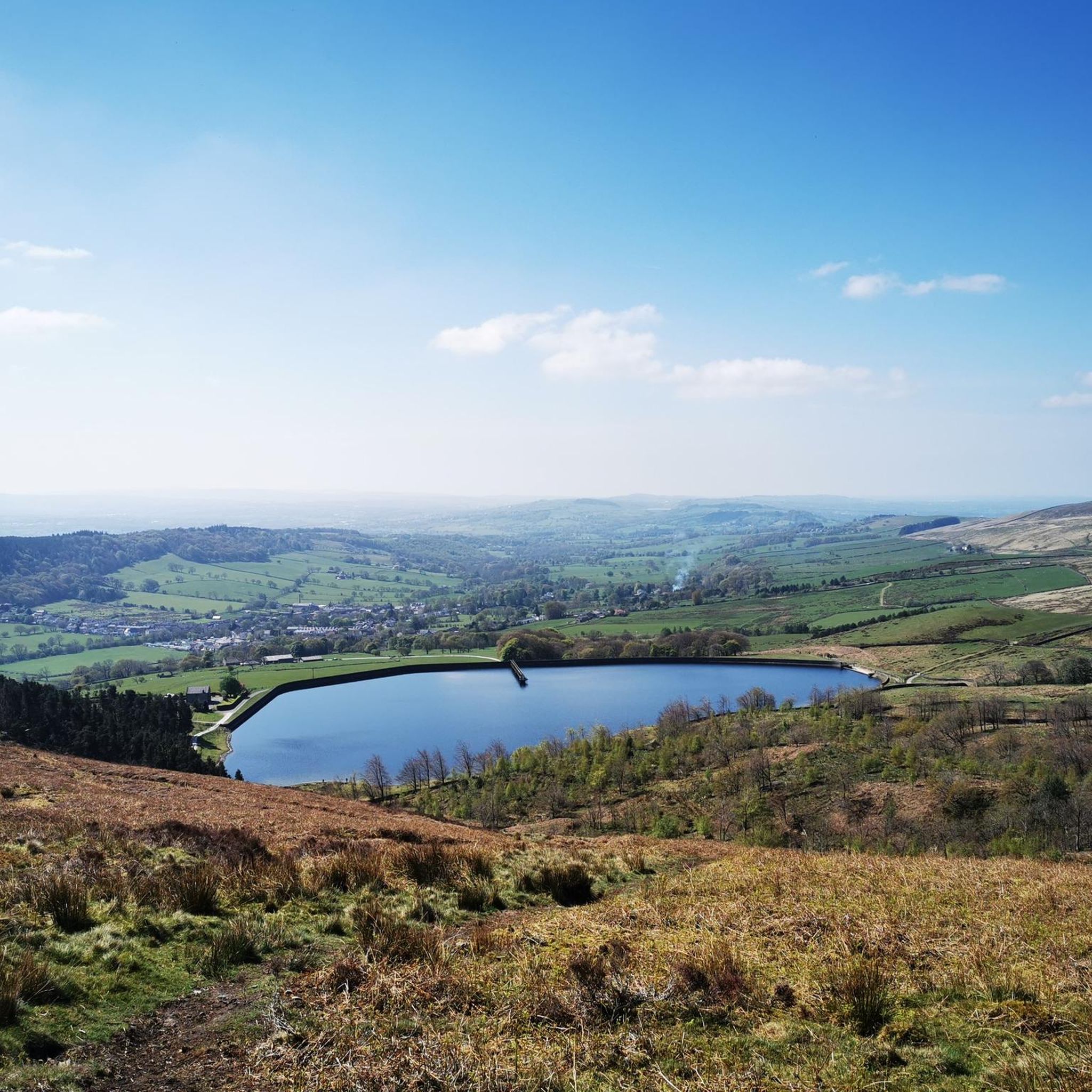
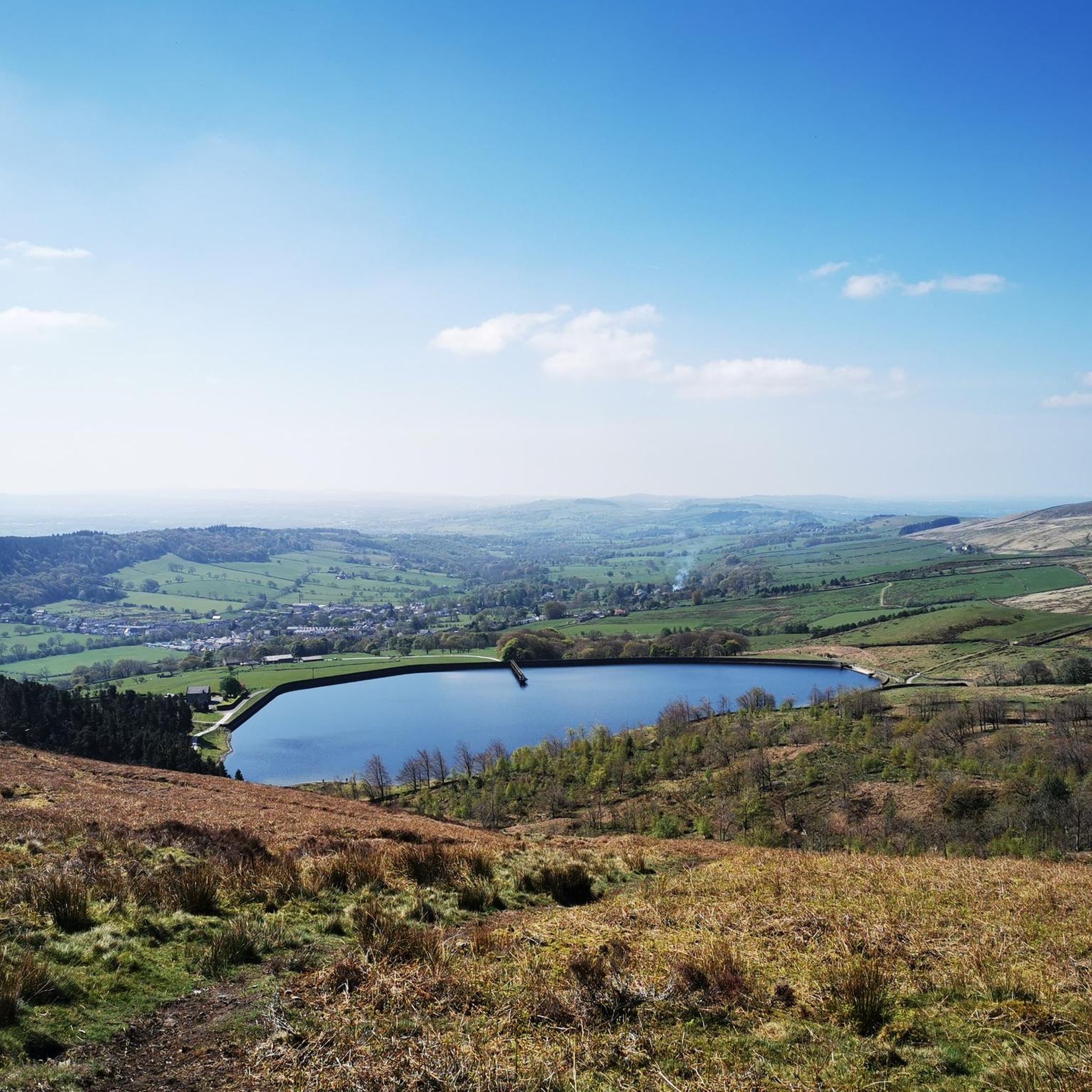
Gravel biking around Ightenhill offers challenging routes through a landscape characterized by reservoirs, canals, and rolling hills. The area features significant elevation changes, with routes often traversing varied terrain including sections near the Forest of Bowland. These trails provide opportunities for experienced riders to explore the region's natural and historical waterways.
Best gravel bike trails around Ightenhill
- The most popular gravel bike trail is Cant Clough Reservoir – Hebden Bridge Canal Basin loop from St John the Evangelist, a…
Last updated: July 30, 2026
4.0
(1)
6
riders
Hard gravel ride. Very good fitness required. You may need to push your bike for some segments of this route.
4
riders
53.2km
03:44
770m
770m
Hard gravel ride. Very good fitness required. Mostly paved surfaces. Suitable for all skill levels.

Sign up for free
5.0
(1)
4
riders
42.9km
02:57
690m
690m
Hard gravel ride. Very good fitness required. Mostly paved surfaces. Suitable for all skill levels.
48.0km
03:16
660m
660m
Hard gravel ride. Very good fitness required. Mostly paved surfaces. Suitable for all skill levels.
Our route recommendations are based on thousands of hikes, rides, and runs completed by other people on komoot.
Start today with a free account
Your next adventure awaits.
Login or Signup
Tips from the Community

Alice Baddelys comment has since been edited by kamoot as she didn't mention the climb from Accrington to Baxenden. Would have been better removed altogether.
0
0

The Marina in the centre of Hebden Bridge , nice cobbled area to sit and watch the world go by
0
0
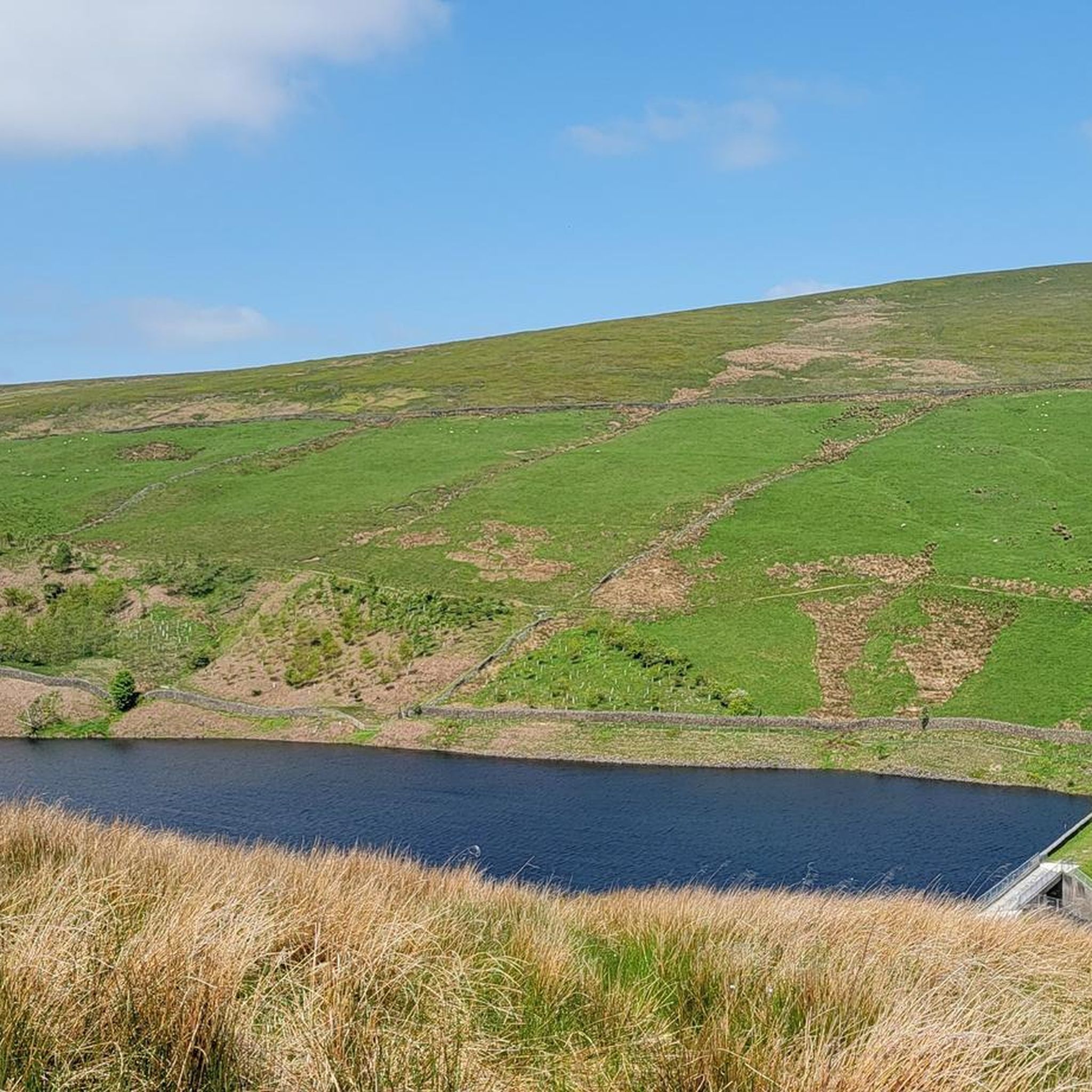
A gorgeous area around black moor with amazing views and the rocks above upper Gorple and Widdop reservoirs are outstanding
0
0
Alice Baddeley, have you ever ridden this section you are commenting on. The climb from Accrington to Baxenden gets to 6% in places though mainly less than this, hardly flat!
0
0

The Hyndburn Greenway is a traffic-free rout in Lancashire that follows old railway lines and canal towpaths between Accrington and Blackburn, passing parks, art galleries and former mills. The climb gets up to 6% in some places, and averages 4 to 5%. Along the way, you'll also encounter the Ashton Flood Wheel, a striking engineering feature.
1
1


exit or entrance to some off piste, rooty and loamy, but fast flow in section's
0
0

Long drag over the hill but good for the soul.
0
0
Frequently Asked Questions
How many gravel bike trails are available around Ightenhill?
There are currently 4 challenging gravel bike routes documented around Ightenhill on komoot, all designed for experienced riders. These trails offer significant elevation changes and varied terrain.
Are there any easy or family-friendly gravel bike routes in Ightenhill?
The gravel biking routes around Ightenhill are generally considered difficult, featuring challenging climbs and varied terrain. Currently, there are no routes specifically categorized as easy or family-friendly within the immediate Ightenhill area on komoot.
What kind of terrain can I expect on gravel bike trails near Ightenhill?
You can expect a mix of terrain, including sections near reservoirs, canals, and rolling hills. The routes often feature significant elevation changes and traverse varied surfaces, sometimes bordering the Forest of Bowland.
Are there any circular gravel bike routes around Ightenhill?
Yes, all the documented gravel bike routes around Ightenhill are circular. For example, you could try the Cant Clough Reservoir – Hebden Bridge Canal Basin loop from St John the Evangelist, which is a 23.2-mile challenging ride.
What are some scenic highlights or attractions I can see along the gravel bike trails?
Many routes incorporate the region's natural beauty, including reservoirs and canal-side paths. You might pass by Cant Clough Reservoir or Hurstwood Reservoir. The area also offers views of nearby peaks like Pendle Hill.
Are there any long-distance gravel biking options near Ightenhill?
Yes, for a longer ride, consider the The HUB Tea Rooms – Leeds & Liverpool Canal loop from Church and Oswaldtwistle. This challenging route covers approximately 58.3 miles (93.8 km) and offers extensive riding.
What is the best season for gravel biking in Ightenhill?
Given the varied terrain and potential for significant elevation changes, spring and autumn often provide the most pleasant conditions for gravel biking in Ightenhill, with milder temperatures and potentially less extreme weather. Always check local weather forecasts before heading out.
Where can I find parking for gravel bike trails in Ightenhill?
While specific parking details vary by route starting point, many trails begin from towns or villages like Burnley or Clitheroe, where public parking facilities are typically available. It's advisable to check the specific tour details on komoot for recommended starting points and potential parking information.
What do other gravel bikers say about the trails in Ightenhill?
The gravel biking routes around Ightenhill are highly rated by the komoot community, with an average score of 4.5 stars from 2 reviews. Riders often appreciate the challenging nature of the trails and the scenic reservoir and canal landscapes.
Are there any routes that offer extensive riding through natural areas like the Forest of Bowland?
Absolutely. The Trail 8, Forest of Bowland – The 8 – Swoopy Section loop from Clitheroe is a challenging 33-mile route that provides extensive riding through the edge of the Forest of Bowland, offering a true wilderness experience.
What should I bring for a gravel bike ride in Ightenhill?
Given the challenging nature and length of many routes, it's essential to bring appropriate gear. This includes a well-maintained gravel bike, puncture repair kit, sufficient water and snacks, navigation tools (like komoot's app), and weather-appropriate clothing, as conditions can change quickly in the hills.
Are there any hidden gem routes or less-traveled paths for gravel biking?
While all routes offer unique experiences, the Mary Towneley Monument – The Water Trough loop from St John's Church, a 29.8-mile challenging ride, might offer a slightly different perspective, connecting historical landmarks with natural trails away from the more frequently mentioned reservoir circuits.
Most popular attractions around Ightenhill

Get inspired with the komoot mobile app


Explore more
Browse the best Gravel rides in other regions.
