The best gravel rides around Paisley North
4.1
(32)
502
riders
21
rides
Gravel biking around Paisley North offers a network of trails through varied landscapes. The region features a mix of lochs, reservoirs, and country parks, providing diverse terrain for gravel cyclists. Routes often incorporate sections along established paths like the John Muir Way and follow river valleys. The area's topography includes rolling hills and some more challenging ascents, characteristic of the Scottish lowlands.
Best gravel bike trails around Paisley North
- The most popular gravel bike trail is Craigallian Loch – Burncrooks…
Last updated: May 22, 2026
4.5
(2)
46
riders
60.4km
03:56
710m
710m
Hard gravel ride. Very good fitness required. Mostly paved surfaces. Suitable for all skill levels.
3.7
(3)
48
riders
44.9km
02:46
460m
460m
Hard gravel ride. Very good fitness required. Mostly paved surfaces. Suitable for all skill levels.

Sign up for free
21
riders
103km
07:16
1,260m
1,260m
Hard gravel ride. Very good fitness required. Mostly paved surfaces. Suitable for all skill levels.
67
riders
49.5km
03:15
570m
570m
Hard gravel ride. Very good fitness required. You may need to push your bike for some segments of this route.
4.5
(2)
13
riders
Hard gravel ride. Very good fitness required. Mostly paved surfaces. Suitable for all skill levels.
Get access to more routes and recommendations from other explorers.
Sign up for free
Already have an account?
Our route recommendations are based on thousands of hikes, rides, and runs completed by other people on komoot.
Start today with a free account
Your next adventure awaits.
Login or Signup
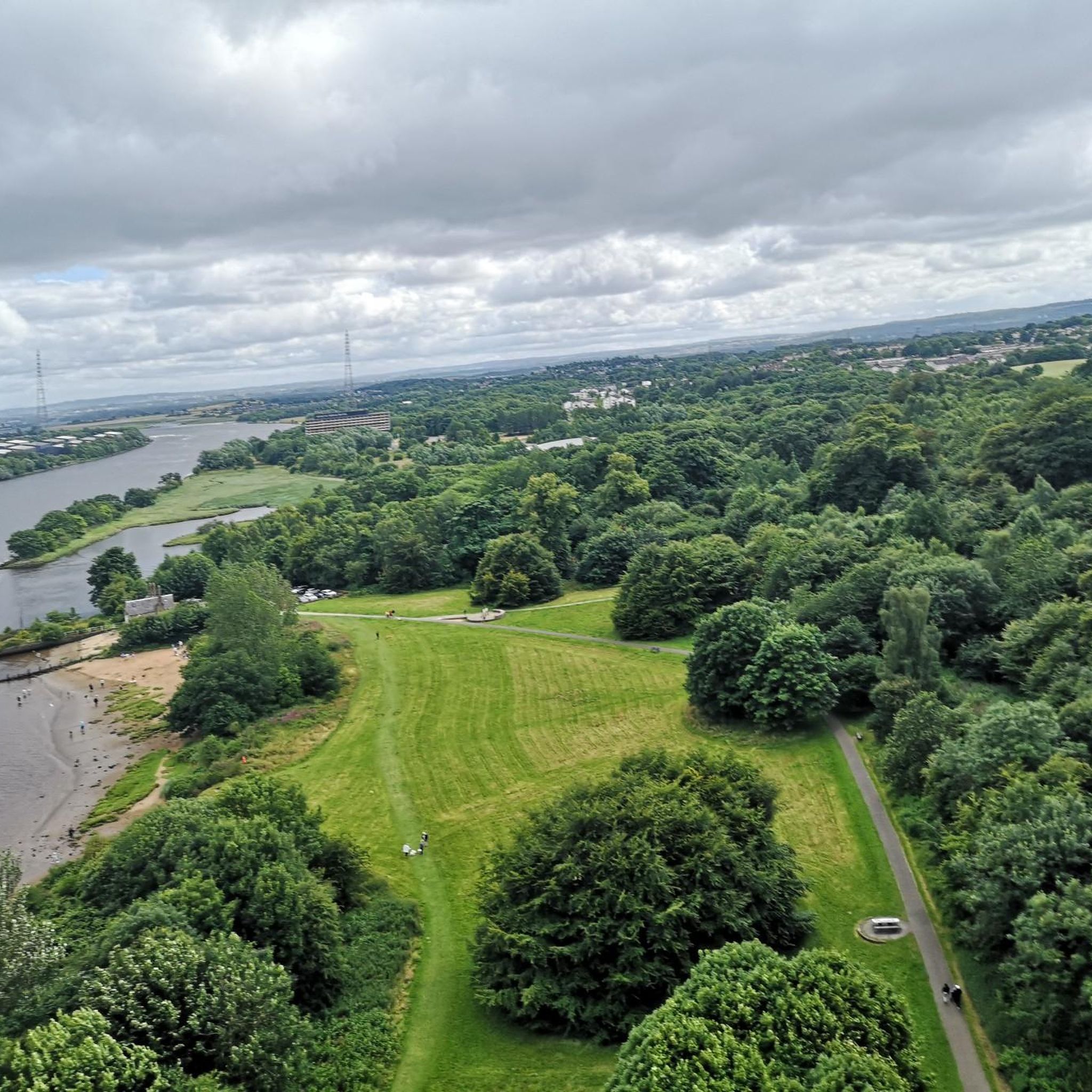
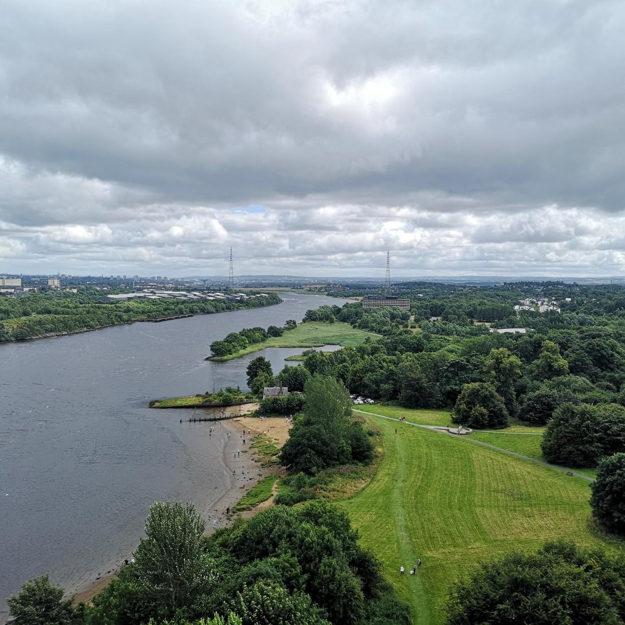
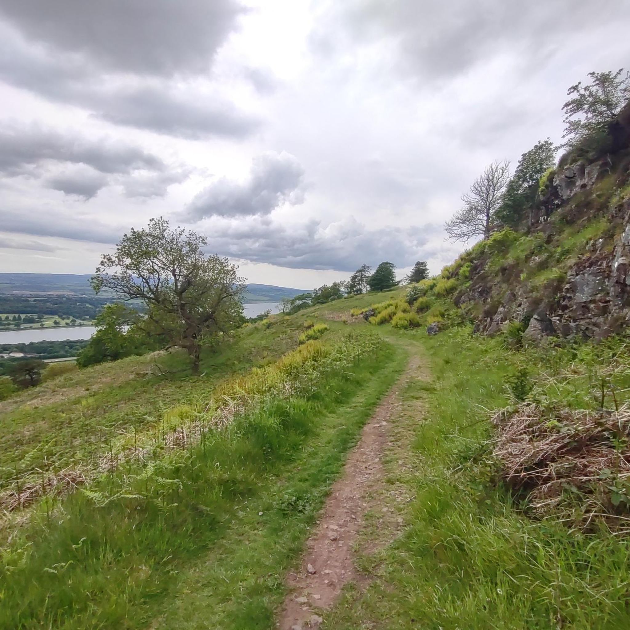
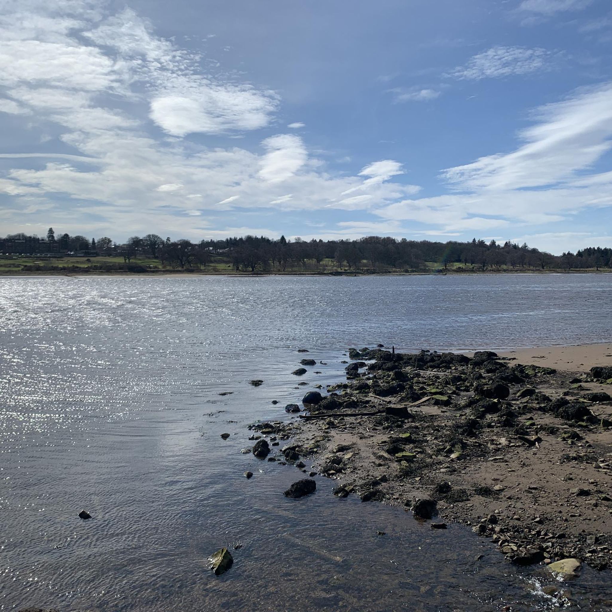
Tips from the Community

Beautiful smooth gravel surface. Steep in sections. Really enjoyed a s a descent!
0
0


One of the most interesting bridges I've ever seen—in my opinion, an architectural masterpiece, magnificent..👍👍
1
0
Cycling along a canal has always been our thing... The old towpaths are being integrated into the cycle paths, which for us cyclists means always cycling along the water.
0
0

A gravel track that follows the trail of the Katrine Aqueducts that brings Glasgow's drinking water all the way from the Trossachs to Milngavie. Look out for exposed sections of the aqueducts as you travel along, one section in particular has a date marker of 1892 visible from the track. Stunning views over the Kilpatrick Hills and you can always drop down to Glengoyne distillery for a wee dram on the way past!
1
0


The Forth and Clyde Canal was constructed in 1790. It was successful initially but closed in the 1960s. Today it's a leisure destination with a brilliant towpath making an ideal cycling outing.
1
0
Frequently Asked Questions
How many gravel bike trails are available around Paisley North?
There are over 25 gravel bike trails around Paisley North, offering a variety of routes through lochs, reservoirs, and country parks. The komoot community has used these trails over 550 times.
What are the typical difficulty levels for gravel biking in Paisley North?
The gravel biking routes in Paisley North are generally moderate to difficult. There are 8 moderate routes and 17 difficult routes, with no easy routes currently listed. This makes the area well-suited for riders looking for a challenge.
Are there any family-friendly or beginner gravel bike routes in Paisley North?
Currently, the routes listed for gravel biking around Paisley North are categorized as moderate to difficult, meaning there are no specific easy or beginner-friendly trails. Riders should be prepared for varied terrain and elevation changes.
Are there any circular gravel bike routes in the Paisley North area?
Yes, many of the gravel bike routes in Paisley North are circular. For example, the Craigallian Loch – Burncrooks Reservoir loop from Bearsden is a popular difficult route, and the Trails at Mugdock Country Park – Craigallian Loch loop from Bearsden offers a moderate option.
What kind of scenery can I expect on gravel bike trails around Paisley North?
Gravel biking around Paisley North is characterized by diverse Scottish lowland landscapes. You'll encounter scenic lochside paths, reservoir views, open parkland, and forested sections. Routes often incorporate parts of established paths like the John Muir Way and follow river valleys.
What do other gravel bikers enjoy most about the trails in Paisley North?
The area is highly rated by the komoot community, with an average score of 4.2 stars from over 30 reviews. Riders often praise the varied terrain, the scenic loch and reservoir views, and the challenging nature of the routes, such as the John Muir Way Gravel Descent – Craigallian Loch loop from Westerton.
Are there any notable landmarks or attractions along the gravel routes?
Yes, the region offers several interesting points. While riding, you might pass by natural features like Loch Humphrey or the Craigie Linn Waterfall. Historic sites such as Dumbarton Castle are also within the broader area.
When is the best time of year to go gravel biking in Paisley North?
Gravel biking in Paisley North is enjoyable throughout much of the year, though conditions vary. Spring and autumn offer pleasant temperatures and vibrant scenery. Summer provides longer daylight hours, while winter rides can be challenging due to colder, wetter weather, but offer a unique, quieter experience.
Are there any routes that incorporate sections of the John Muir Way?
Yes, some gravel routes in Paisley North integrate sections of the long-distance John Muir Way. A notable example is the John Muir Way Gravel Descent – Craigallian Loch loop from Westerton, which combines parts of this iconic path with lochside trails.
What are some of the longer gravel bike routes available?
For those seeking longer rides, the River Kelvin – Aberfoyle Riverside Cycle Path loop from Kelvinhall is a challenging option, covering over 100 km. Another substantial route is the Craigallian Loch – Burncrooks Reservoir loop from Bearsden, which is approximately 60 km.
Are there any wild swimming spots near the gravel trails?
While specific wild swimming spots directly adjacent to the gravel trails aren't highlighted, the region is rich with lochs and reservoirs. You might find opportunities near bodies of water like Craigallian Loch or Burncrooks Reservoir, but always exercise caution and check local regulations before swimming.
Can I find routes that pass through country parks?
Absolutely. Several gravel routes in Paisley North incorporate country parks. For instance, the Craigallian Loch – Trails at Mugdock Country Park loop from Garscadden offers a mix of open parkland and forested sections within Mugdock Country Park.
Most popular routes around Paisley North
Most popular attractions around Paisley North

Get inspired with the komoot mobile app


Explore more
Browse the best Gravel rides in other regions.
