The best gravel rides around Merchant City And Trongate
4.2
(34)
480
riders
31
rides
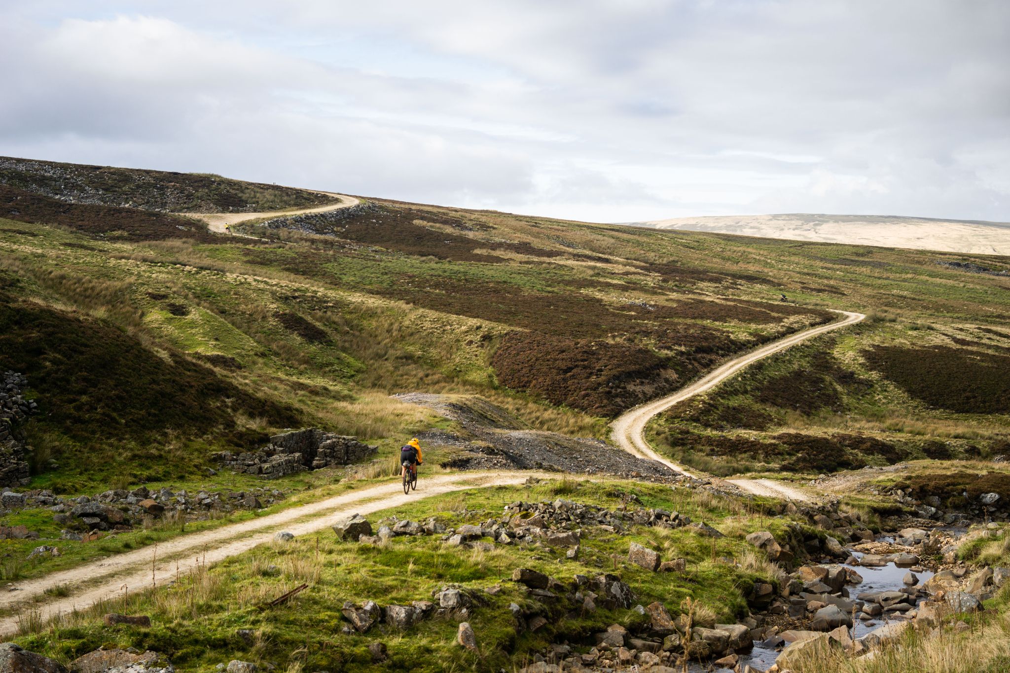
Gravel biking around Merchant City And Trongate offers a diverse landscape for riders. The region features a mix of urban green spaces, canal towpaths, and routes extending towards wind farms and river valleys. Terrain varies from flat, well-maintained paths along waterways to more challenging sections with elevation changes in rural areas. This provides a range of experiences for different skill levels.
Best gravel bike trails around Merchant City And Trongate
- The most popular gravel bike trail is Whitelee Wind Farm…
Last updated: July 17, 2026
4.5
(2)
46
riders
60.4km
03:56
710m
710m
Hard gravel ride. Very good fitness required. Mostly paved surfaces. Suitable for all skill levels.
3.8
(4)
53
riders
45.5km
02:51
480m
480m
Hard gravel ride. Very good fitness required. Mostly paved surfaces. Suitable for all skill levels.

Sign up for free
4.3
(7)
70
riders
56.7km
03:11
560m
560m
Hard gravel ride. Very good fitness required. Mostly paved surfaces. Suitable for all skill levels.
4.4
(7)
49
riders
Hard gravel ride. Very good fitness required. Mostly paved surfaces. Suitable for all skill levels.
25
riders
103km
07:16
1,260m
1,260m
Hard gravel ride. Very good fitness required. Mostly paved surfaces. Suitable for all skill levels.
Get access to more routes and recommendations from other explorers.
Sign up for free
Already have an account?
Our route recommendations are based on thousands of hikes, rides, and runs completed by other people on komoot.
Start today with a free account
Your next adventure awaits.
Login or Signup
Popular around Merchant City And Trongate

Other adventures around Merchant City And Trongate

Tips from the Community

Nice challenging cycling through forest and between lakes
0
0

Beautiful smooth gravel surface. Steep in sections. Really enjoyed a s a descent!
0
0


One of the most interesting bridges I've ever seen—in my opinion, an architectural masterpiece, magnificent..👍👍
1
0
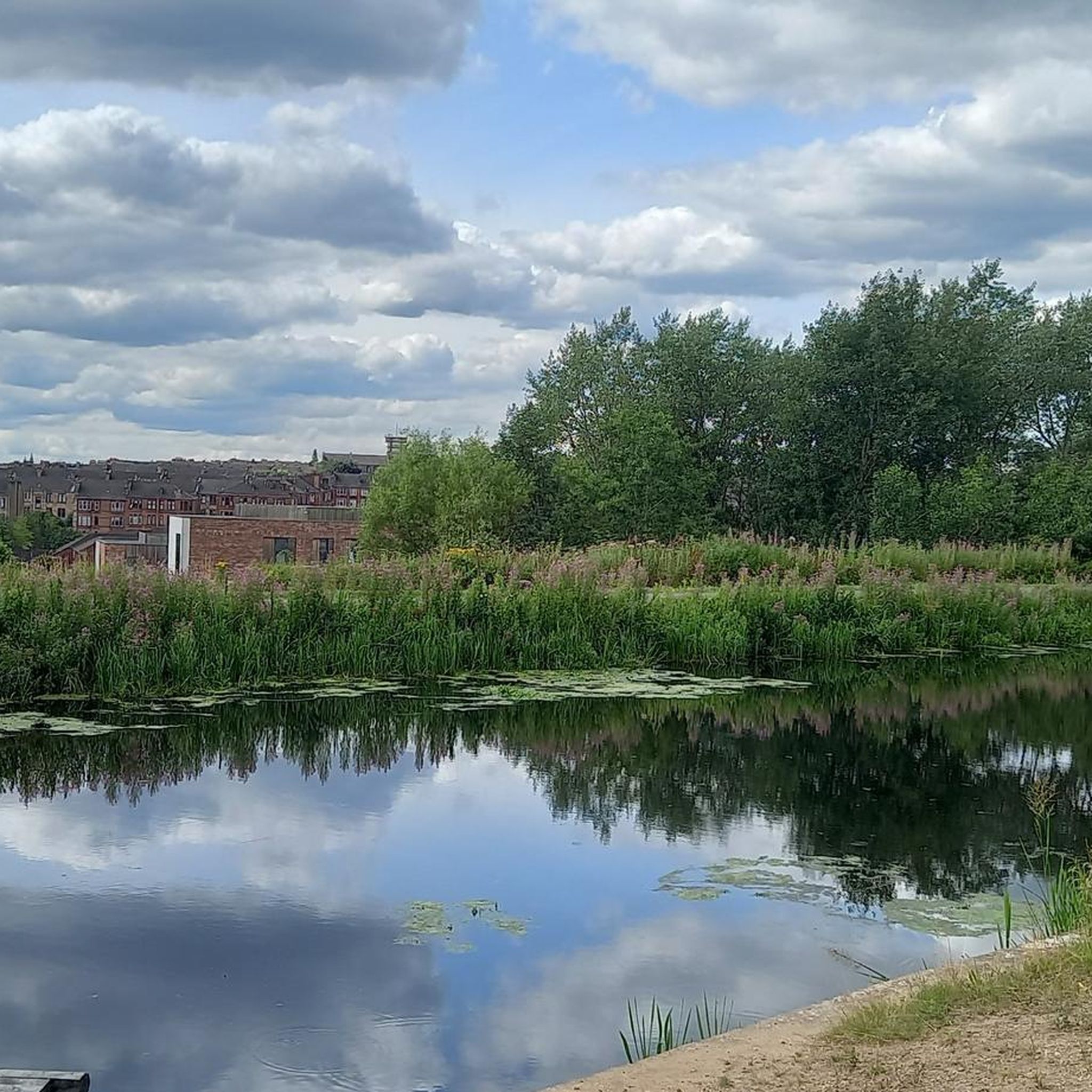
Cycling along a canal has always been our thing... The old towpaths are being integrated into the cycle paths, which for us cyclists means always cycling along the water.
0
0

The ruined remains of Lennox Castle. Originally built in ~1840 as a private property it was sold to The Glasgow Corporation (predecessor to the City Council) in 1927 and turned into a hospital for those with learning difficulties. In the 1940's-60's it also operated as a maternity home, and was the birth place of singer Lulu. It closed in 2002 and unfortunately was subject to a fire in 2008 which left it in its current state.
1
0
A gravel track that follows the trail of the Katrine Aqueducts that brings Glasgow's drinking water all the way from the Trossachs to Milngavie. Look out for exposed sections of the aqueducts as you travel along, one section in particular has a date marker of 1892 visible from the track. Stunning views over the Kilpatrick Hills and you can always drop down to Glengoyne distillery for a wee dram on the way past!
1
0
Frequently Asked Questions
What types of terrain can I expect on gravel bike trails in Merchant City And Trongate?
The region offers a diverse mix of terrain. You'll find urban green spaces, flat canal towpaths, and routes extending into more rural areas with wind farms and river valleys. Terrain varies from well-maintained paths along waterways to more challenging sections with elevation changes.
Are there easy gravel bike trails suitable for beginners in Merchant City And Trongate?
While many routes in the area are rated as difficult, there is at least one easy option available. Generally, canal towpaths like those found on the Forth and Clyde Canal Towpath – Stockingfield Bridge loop from Hillhead offer flatter, more accessible riding conditions that might be suitable for beginners, though this specific route is rated moderate.
What is the typical length and duration of gravel bike routes in this area?
Route lengths vary significantly, from around 40 km (25 miles) to over 100 km (62 miles). For example, the Forth and Clyde Canal Towpath – Stockingfield Bridge loop from Hillhead is 41.1 km and takes about 3 hours, while the River Kelvin – Aberfoyle Riverside Cycle Path loop from Kelvinhall is over 100 km and can take around 9 hours to complete.
Where can I find challenging gravel bike routes around Merchant City And Trongate?
The region is well-suited for experienced gravel bikers, with 25 routes rated as difficult. Notable challenging options include the Whitelee Wind Farm – Scenic Rural Road loop from Crossmyloof, which explores open rural roads and wind farm landscapes, and the Stockingfield Junction Bridge – Stockingfield Bridge loop from Kelvinbridge, connecting urban areas with river and canal-side sections.
Are there any scenic viewpoints or natural attractions along the gravel trails?
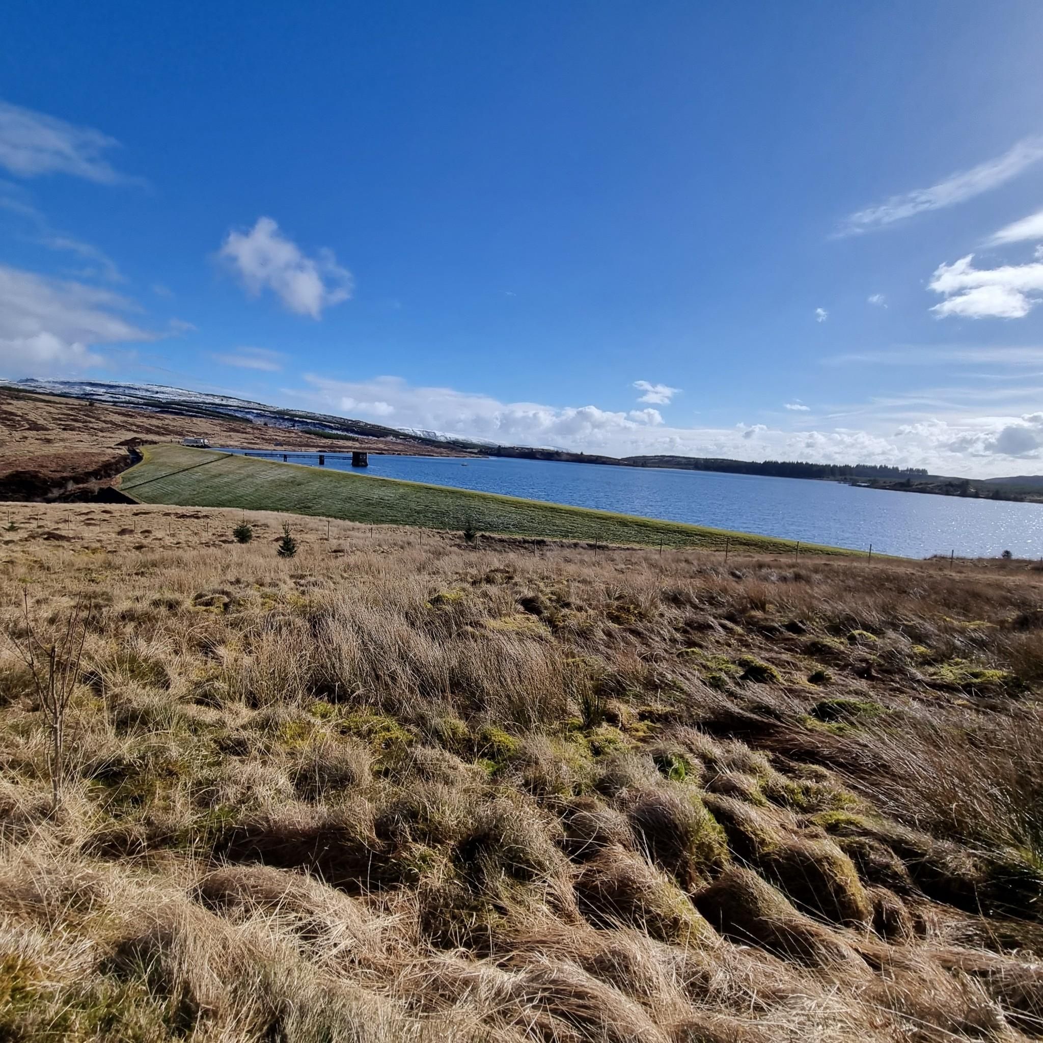
Yes, many routes offer scenic views and pass by natural attractions. You might encounter highlights such as Darnley Reservoir Pavilion or The Claypits Local Nature Reserve. The routes often follow river valleys and canal towpaths, providing picturesque waterside scenery.
What are some interesting landmarks or places to explore near the gravel biking routes?
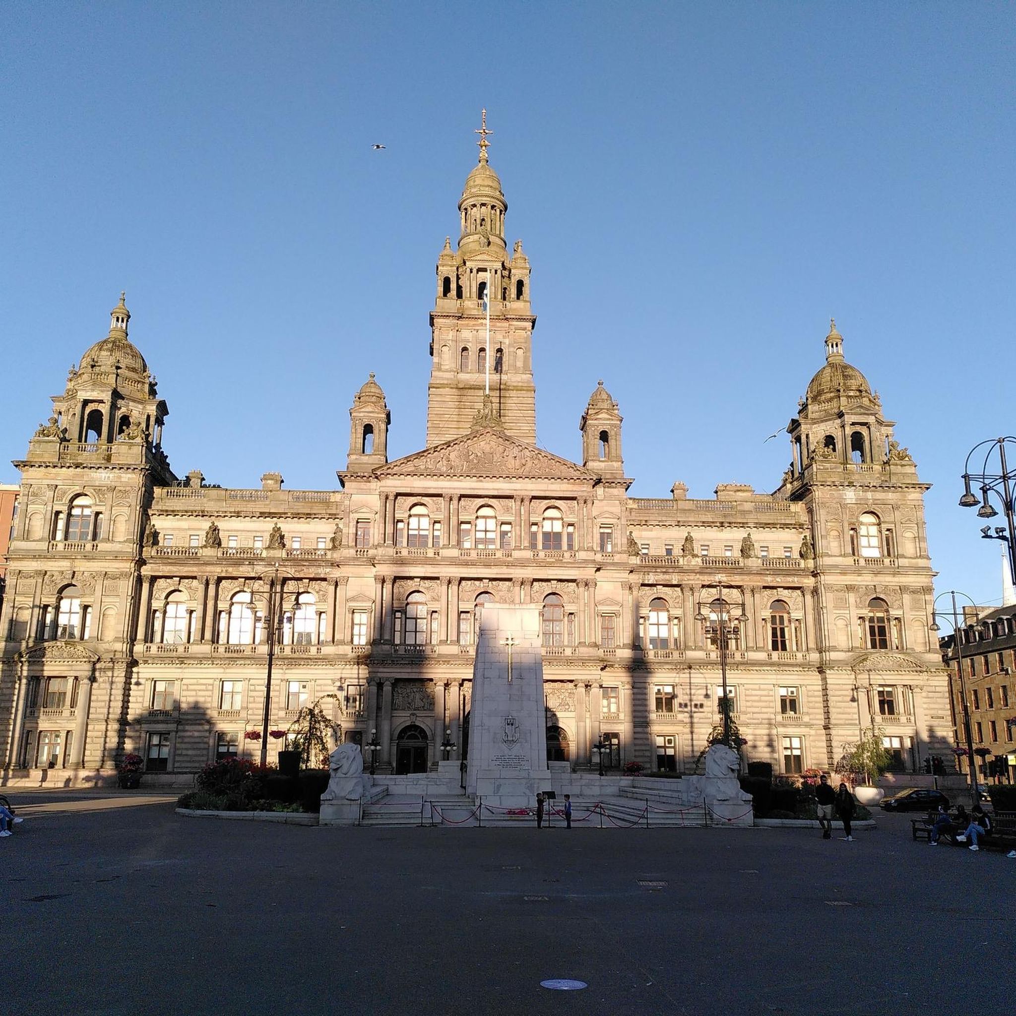
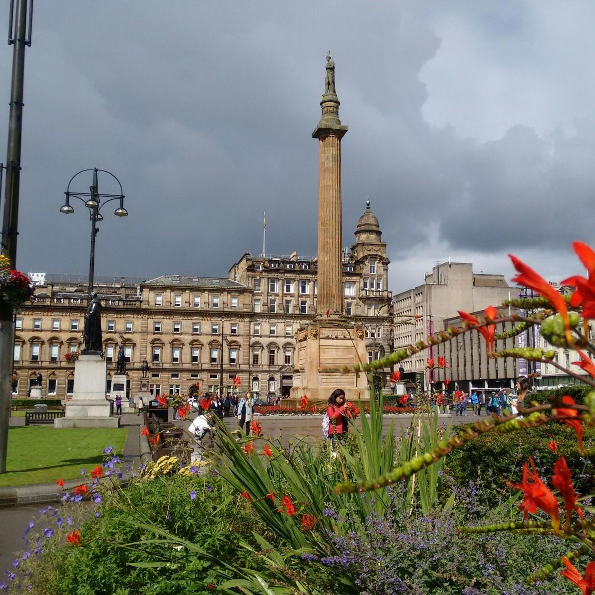
Beyond the trails, you can explore historical and cultural landmarks. Highlights include George Square, the iconic Duke of Wellington Statue, and the historic Glasgow Necropolis. Many routes also utilize sections of the Forth and Clyde Canal Towpath itself, which is a landmark in its own right.
What do other gravel bikers enjoy most about riding in Merchant City And Trongate?
The area is highly rated by the komoot community, with an average score of 4.3 stars from over 30 reviews. Reviewers often praise the diverse landscape, which combines urban green spaces with tranquil canal paths and expansive wind farm areas, offering a varied and engaging riding experience for different skill levels.
Are there circular gravel bike routes available in Merchant City And Trongate?
Yes, many of the gravel bike routes in the area are designed as loops. Examples include the River Kelvin – Craigallian Loch loop from Maryhill and the Whitelee Wind Farm – Scenic Rural Road loop from Crossmyloof, allowing you to start and finish at the same point.
How many gravel bike trails are there in Merchant City And Trongate?
There are 38 gravel bike trails available in Merchant City And Trongate, offering a wide range of options for different abilities and preferences.
What is the best time of year for gravel biking in Merchant City And Trongate?
Gravel biking can be enjoyed year-round, but conditions vary. Spring and summer generally offer milder weather and longer daylight hours. Autumn provides beautiful scenery, while winter rides might require more preparation for potentially colder, wetter, or icier conditions, especially on less maintained paths.
Are there options for food and drink along the gravel bike routes?
While specific cafes or pubs directly on every trail are not detailed in the route information, many routes connect urban areas or pass through towns and villages where you can find amenities. The canal towpaths, in particular, often have accessible points near local establishments.
Most popular routes around Merchant City And Trongate
Most popular attractions around Merchant City And Trongate

Get inspired with the komoot mobile app


Explore more
Browse the best Gravel rides in other regions.
