The best gravel rides around Tullibody, Cambus And Glenochil
4.1
(47)
215
riders
32
rides
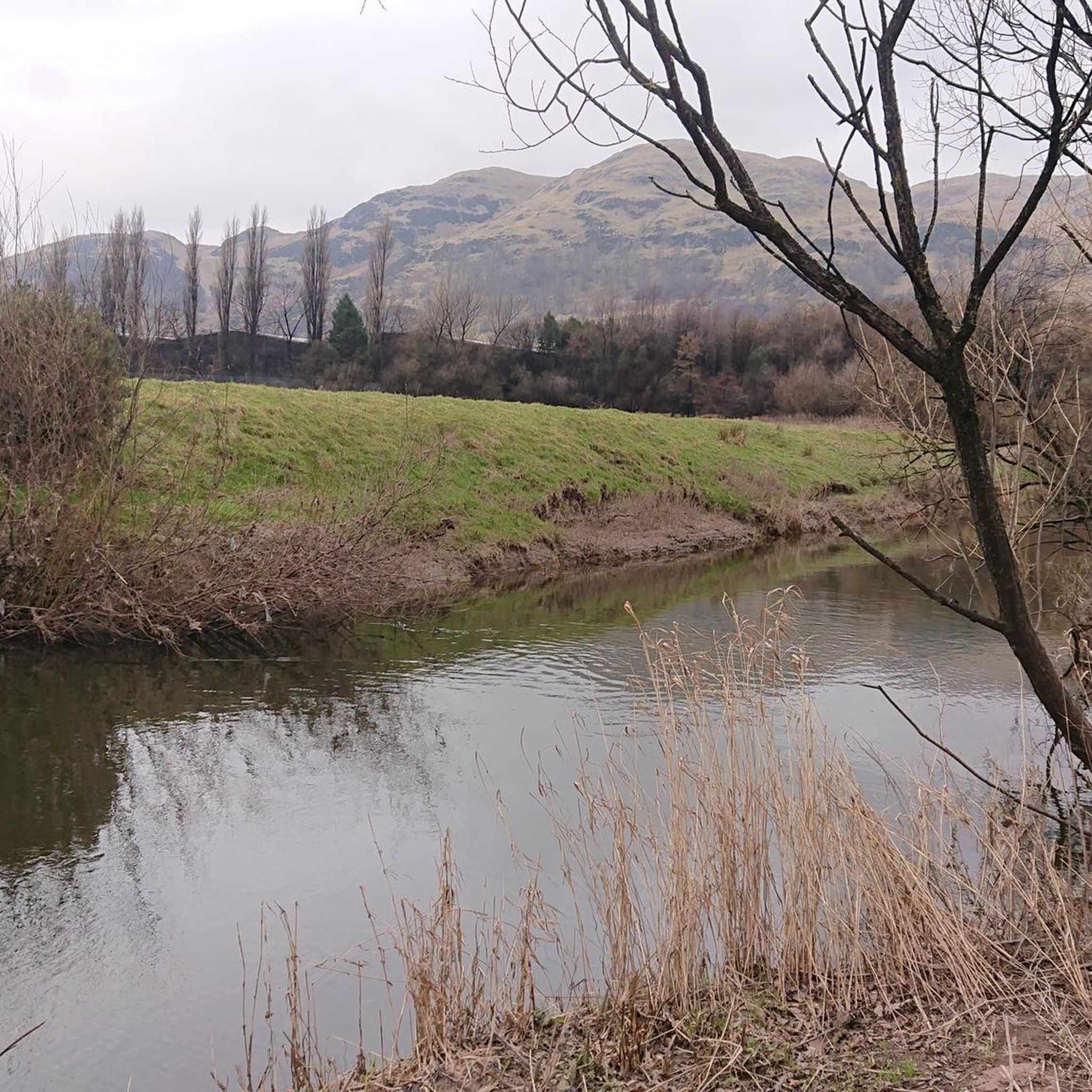
Gravel biking around Tullibody, Cambus And Glenochil offers routes through varied terrain, characterized by river plains, historical bridges, and forested areas. The region features a mix of flat sections along waterways and more challenging climbs into rolling hills, providing diverse experiences for gravel cyclists. Routes often traverse areas near the River Forth and incorporate sections through woodlands and open countryside. The landscape provides a blend of natural beauty and historical points of interest suitable for gravel exploration.
Best gravel bike…
Last updated: August 13, 2026
4.3
(4)
16
riders
32.7km
02:14
550m
550m
Hard gravel ride. Very good fitness required. Mostly paved surfaces. Suitable for all skill levels.
2.0
(1)
10
riders
59.5km
04:14
990m
990m
Hard gravel ride. Very good fitness required. Mostly paved surfaces. Suitable for all skill levels.

Sign up for free
4.3
(3)
13
riders
39.1km
02:33
590m
590m
Hard gravel ride. Very good fitness required. Mostly paved surfaces. Suitable for all skill levels.
5
riders
63.3km
04:30
1,070m
1,070m
Hard gravel ride. Very good fitness required. Mostly paved surfaces. Suitable for all skill levels.
2
riders
22.7km
01:44
520m
520m
Hard gravel ride. Very good fitness required. Mostly paved surfaces. Suitable for all skill levels.
Get access to more routes and recommendations from other explorers.
Sign up for free
Already have an account?
Our route recommendations are based on thousands of hikes, rides, and runs completed by other people on komoot.
Start today with a free account
Your next adventure awaits.
Login or Signup
Popular around Tullibody, Cambus And Glenochil
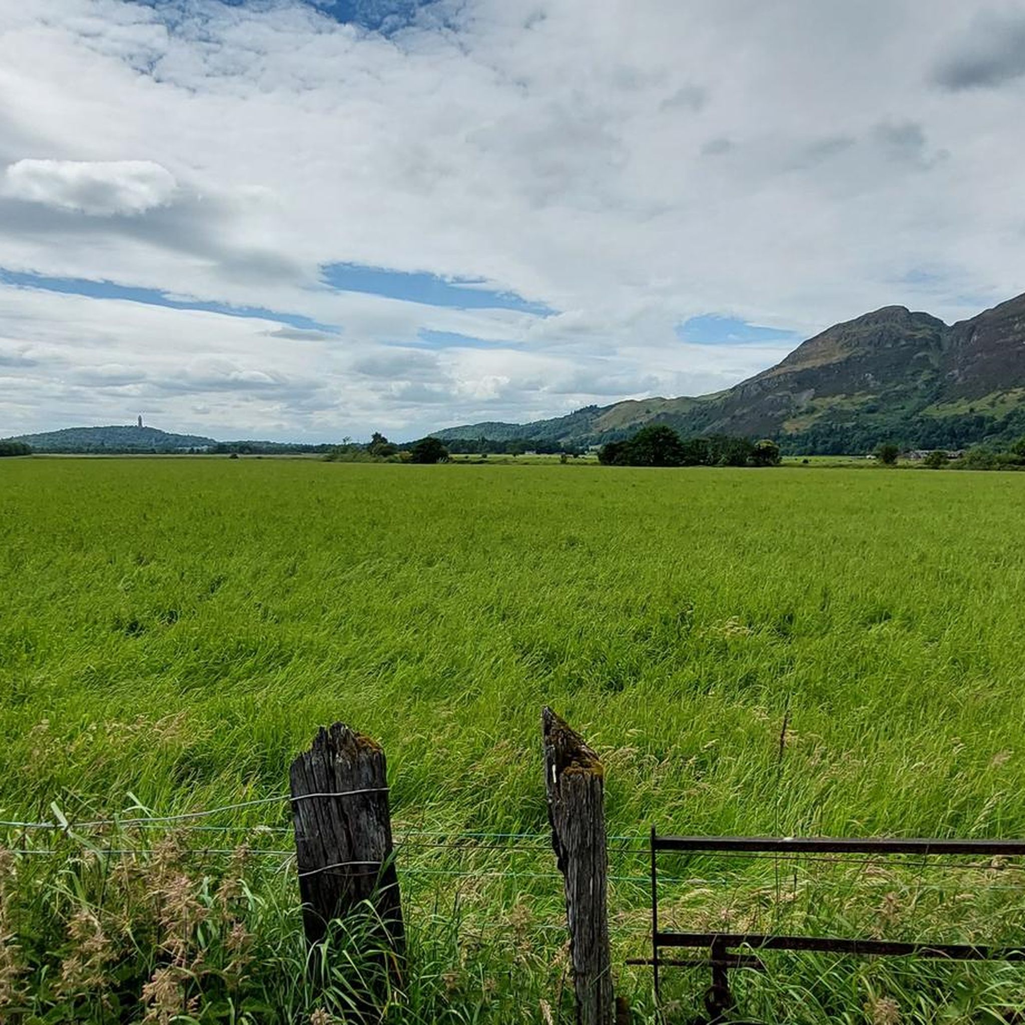
Road Cycling Routes around Tullibody, Cambus And Glenochil
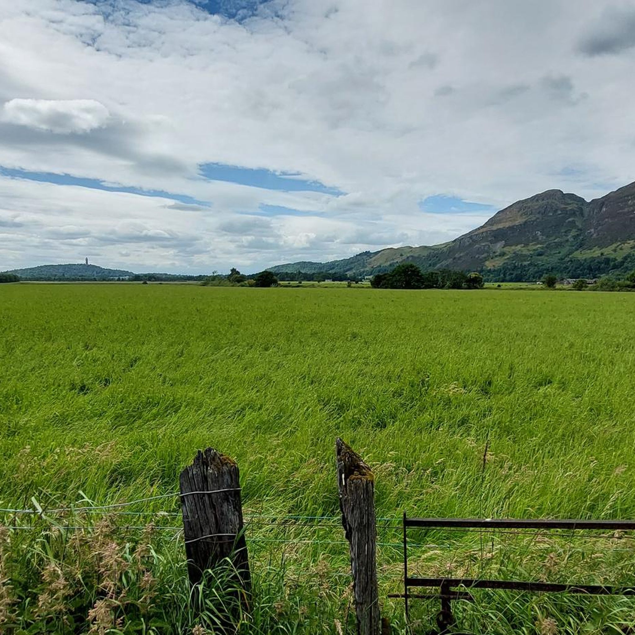
Cycling around Tullibody, Cambus And Glenochil
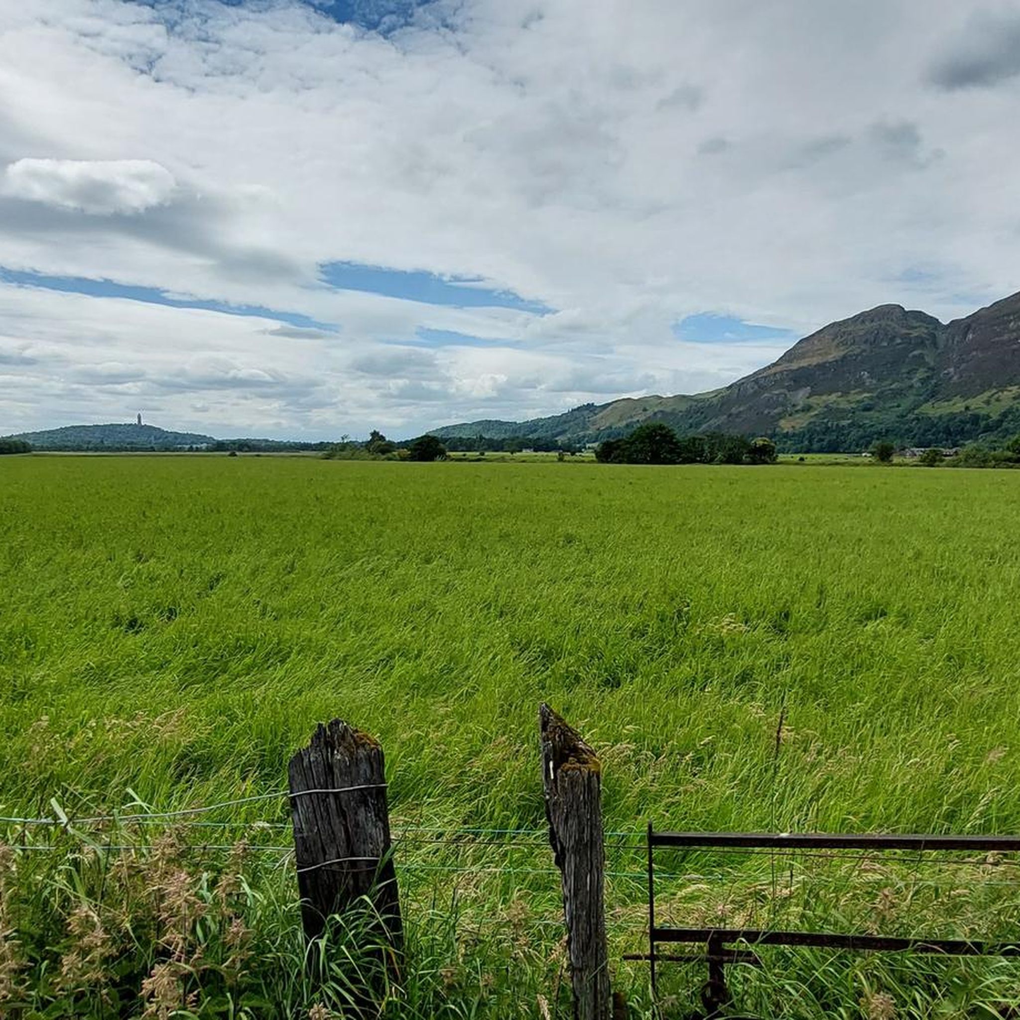
MTB Trails around Tullibody, Cambus And Glenochil
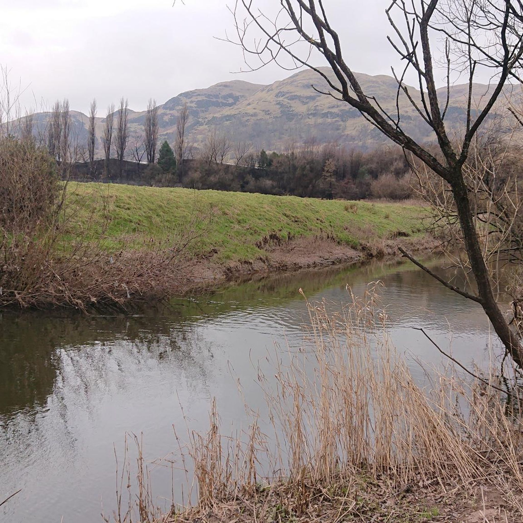
Running Trails around Tullibody, Cambus And Glenochil
Hiking around Tullibody, Cambus And Glenochil

Mountain Hikes around Tullibody, Cambus And Glenochil
Tips from the Community

Perfect for hiking in wonderful scenery
0
0

Watch the anglers catching trout from bank and boat.
0
0
Situated on the Sherrifmuir battlefield, a few miles from Dunblane. The area is part of the Kippendavie estate. There is now an area for parking cars near the monument.
0
0
Great views from either end of the bridge framing Stirling Castle and The National Wallace Monument.
0
0

After the long slog up Menstrie hill path, there's a rough descent down into Menstrie Glen. Dumyat Hill is on the right.
0
0

Home to a compatriot of William Wallace. Very interesting Earthworks from 13th century fort with commanding views across the Carron Valley and towards Meikle Bin.
0
0

Lovely ride through trees on quiet woodland path. Easy surface on a gravel bike. Not too steep.
0
0
Frequently Asked Questions
How many gravel bike trails are available in the Tullibody, Cambus And Glenochil area?
There are over 40 gravel bike trails mapped on komoot for the Tullibody, Cambus And Glenochil region, offering a wide range of options for different skill levels and preferences.
Are there any easy or beginner-friendly gravel bike trails in the area?
Yes, the region offers several easier gravel bike trails suitable for beginners. While many routes feature challenging climbs, you can find 4 routes specifically graded as easy. These often follow flatter sections along waterways, providing a gentler introduction to gravel biking.
What kind of terrain can I expect on gravel bike trails around Tullibody, Cambus And Glenochil?
The terrain is quite varied, characterized by river plains, historical bridges, and forested areas. You'll encounter a mix of flat sections along the River Forth and more challenging climbs into the rolling hills, providing diverse experiences for gravel cyclists.
Are there any challenging gravel bike routes for experienced riders?
Absolutely. For experienced riders seeking a challenge, there are 15 routes graded as difficult. Trails like the Sheriffmuir Road Forest Climb – Stone Bridge (Bridge of Allan) loop from Alva, covering over 71 km with significant elevation gain, offer demanding climbs and varied surfaces.
What are some notable viewpoints or landmarks I can see along the gravel trails?
Many trails offer scenic viewpoints and pass by historical landmarks. You might encounter sights like The National Wallace Monument, or enjoy panoramic views from Gartmorn Dam. The region's routes often incorporate sections near the River Forth and through woodlands, providing natural beauty.
Are there any circular gravel bike routes in the Tullibody area?
Yes, many of the gravel bike routes in the Tullibody, Cambus And Glenochil area are designed as loops, allowing you to start and finish at the same point. For example, the Carron Valley Reservoir – Old Stirling Bridge loop from Stirling is a challenging circular route covering over 63 km.
What is the best time of year for gravel biking in this region?
The region offers enjoyable gravel biking throughout much of the year. Spring and autumn provide pleasant temperatures and vibrant scenery. While winter riding is possible, be prepared for potentially wet and muddy conditions, especially on unpaved sections, and shorter daylight hours.
What do other gravel bikers say about the trails in Tullibody, Cambus And Glenochil?
The gravel biking routes in Tullibody, Cambus And Glenochil are highly rated by the komoot community, with an average score of 4.3 stars from over 39 reviews. Riders often praise the diverse terrain, the blend of natural beauty and historical points of interest, and the options available for different ability levels.
Are there any family-friendly gravel biking options?
While many routes are geared towards more experienced riders, some of the easier sections along river plains or through less challenging woodlands can be suitable for families. Look for routes specifically graded as 'easy' to find the most family-friendly options.
Where can I find places to eat or drink near the gravel bike trails?
The towns and villages within and surrounding Tullibody, Cambus And Glenochil, such as Stirling and Alloa, offer various pubs, cafes, and restaurants where you can refuel after your ride. Many routes pass close to these amenities, making it convenient to plan a stop.
What are the typical distances for gravel bike routes in the area?
Gravel bike routes in the region vary significantly in length. You'll find options ranging from shorter rides of around 20-30 km to much longer, more demanding tours exceeding 60 km, catering to different endurance levels.
Most popular routes around Tullibody, Cambus And Glenochil
Most popular attractions around Tullibody, Cambus And Glenochil

Get inspired with the komoot mobile app


Explore more
Browse the best Gravel rides in other regions.
