The best gravel rides in Hochleithenwald
4.7
(35)
193
riders
44
rides
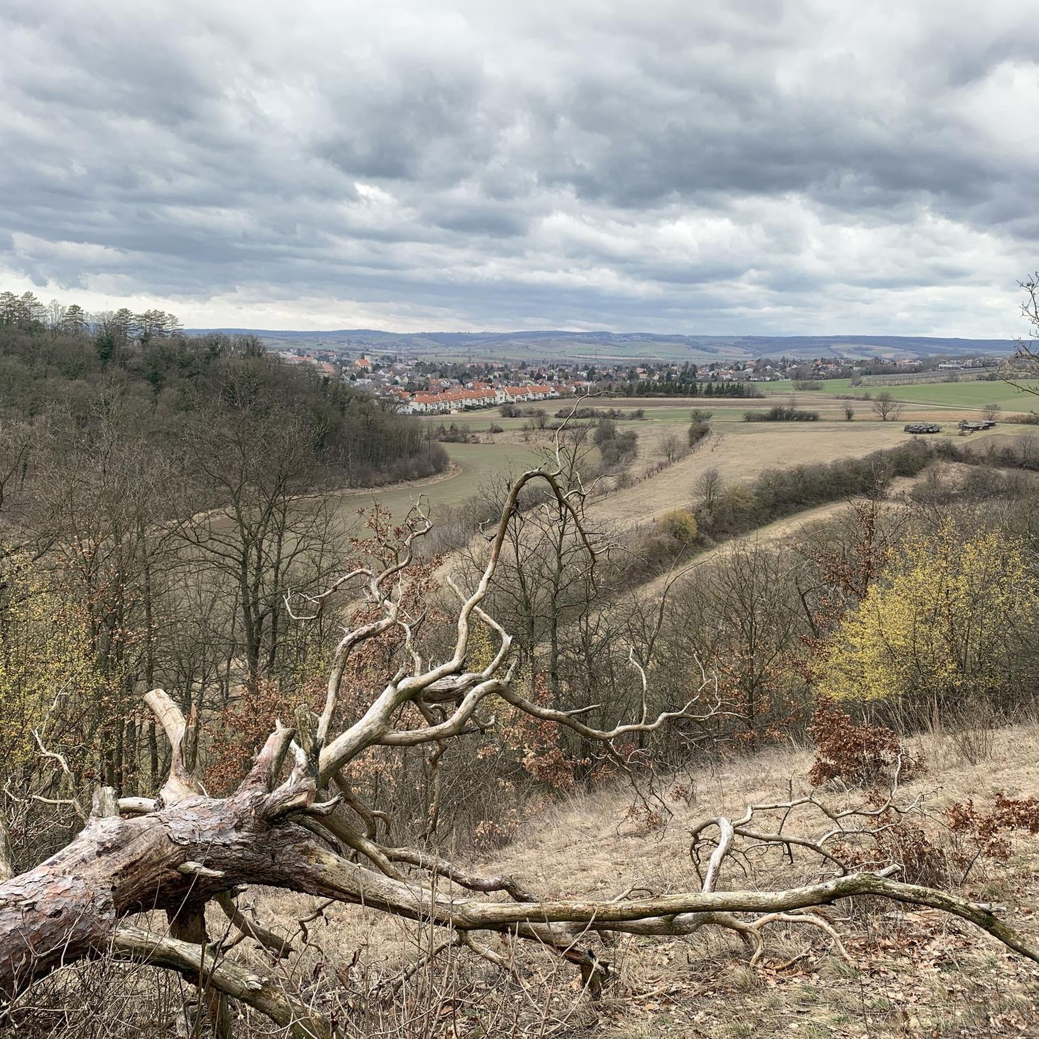
Gravel biking in Hochleithenwald features a landscape characterized by extensive woodlands and gentle rolling hills, offering varied terrain for cyclists. The region includes agricultural paths, open fields, and sections along water features like the Nexinger Fish Ponds. It is known for its mixed forests, including the largest oak-hornbeam forest in the area, and offers views over the gentle hills of the Weinviertel. Elevation changes are generally moderate, with some routes incorporating more significant climbs.
Best gravel bike trails in Hochleithenwald
…Last updated: May 22, 2026
5.0
(2)
22
riders
74.6km
04:23
670m
670m
Hard gravel ride. Very good fitness required. You may need to push your bike for some segments of this route.
4.0
(1)
16
riders
Moderate gravel ride. Good fitness required. Mostly paved surfaces. Suitable for all skill levels.

Sign up for free
5.0
(2)
5
riders
19.0km
01:15
170m
180m
Moderate gravel ride. Good fitness required. Mostly paved surfaces. Suitable for all skill levels.
5.0
(1)
16
riders
Hard gravel ride. Very good fitness required. Mostly paved surfaces. Suitable for all skill levels.
4.7
(18)
84
riders
Moderate gravel ride. Good fitness required. Mostly paved surfaces. Suitable for all skill levels.
Get access to more routes and recommendations from other explorers.
Sign up for free
Already have an account?
Our route recommendations are based on thousands of hikes, rides, and runs completed by other people on komoot.
Start today with a free account
Your next adventure awaits.
Login or Signup
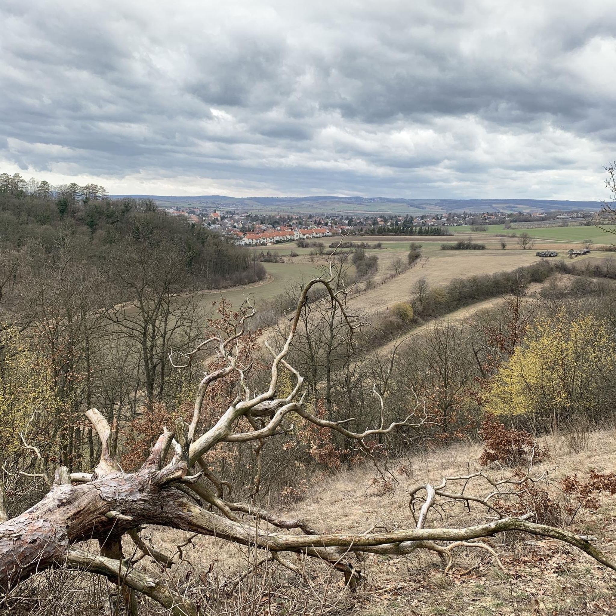
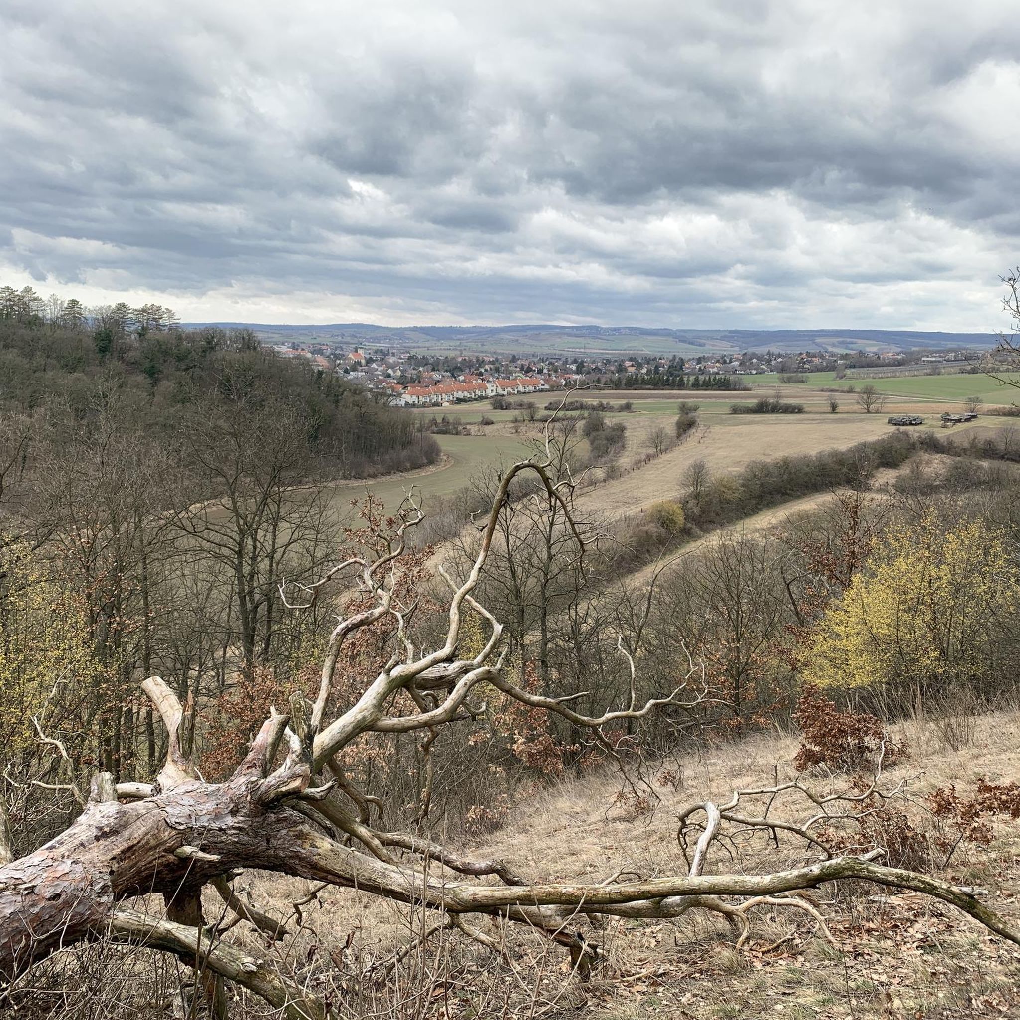
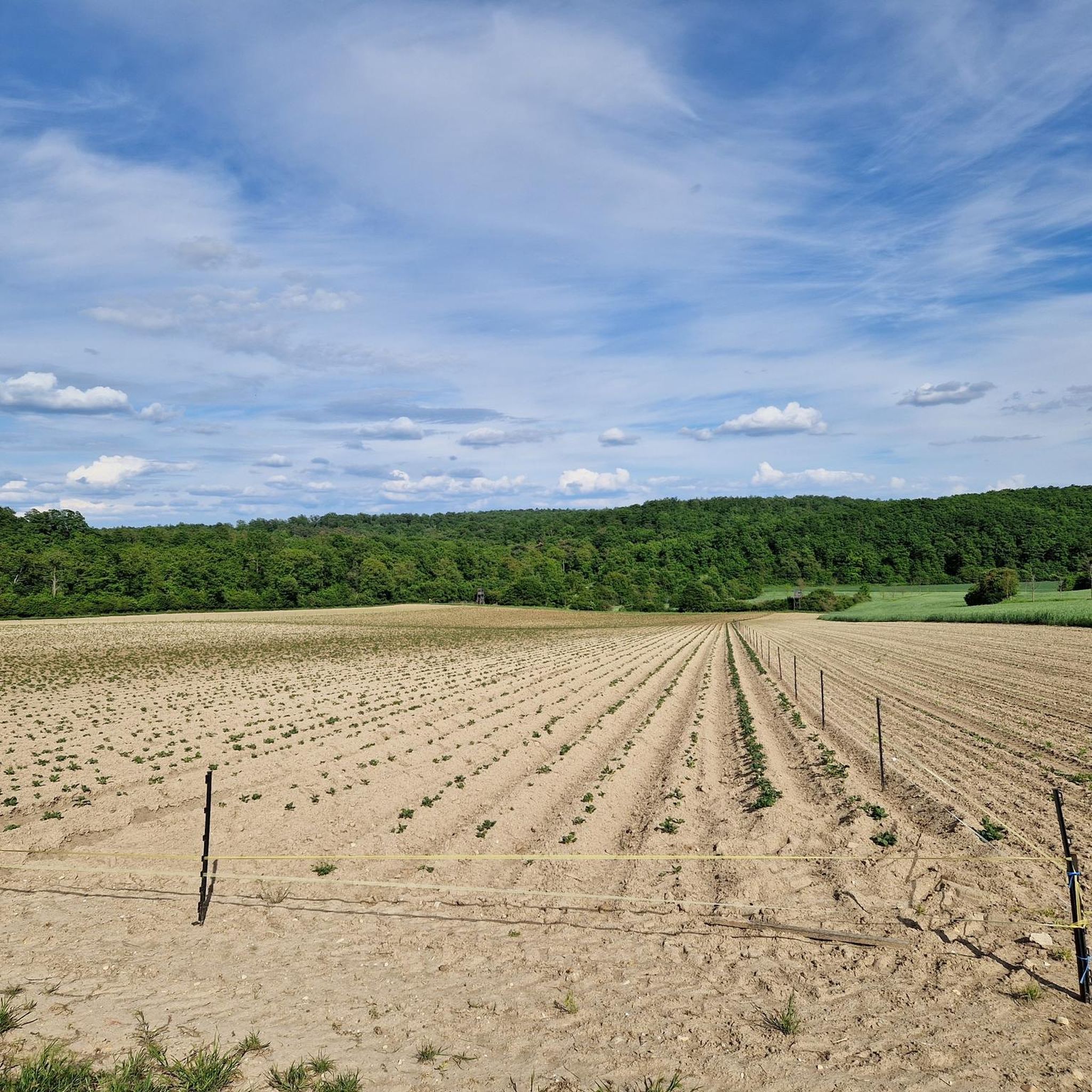
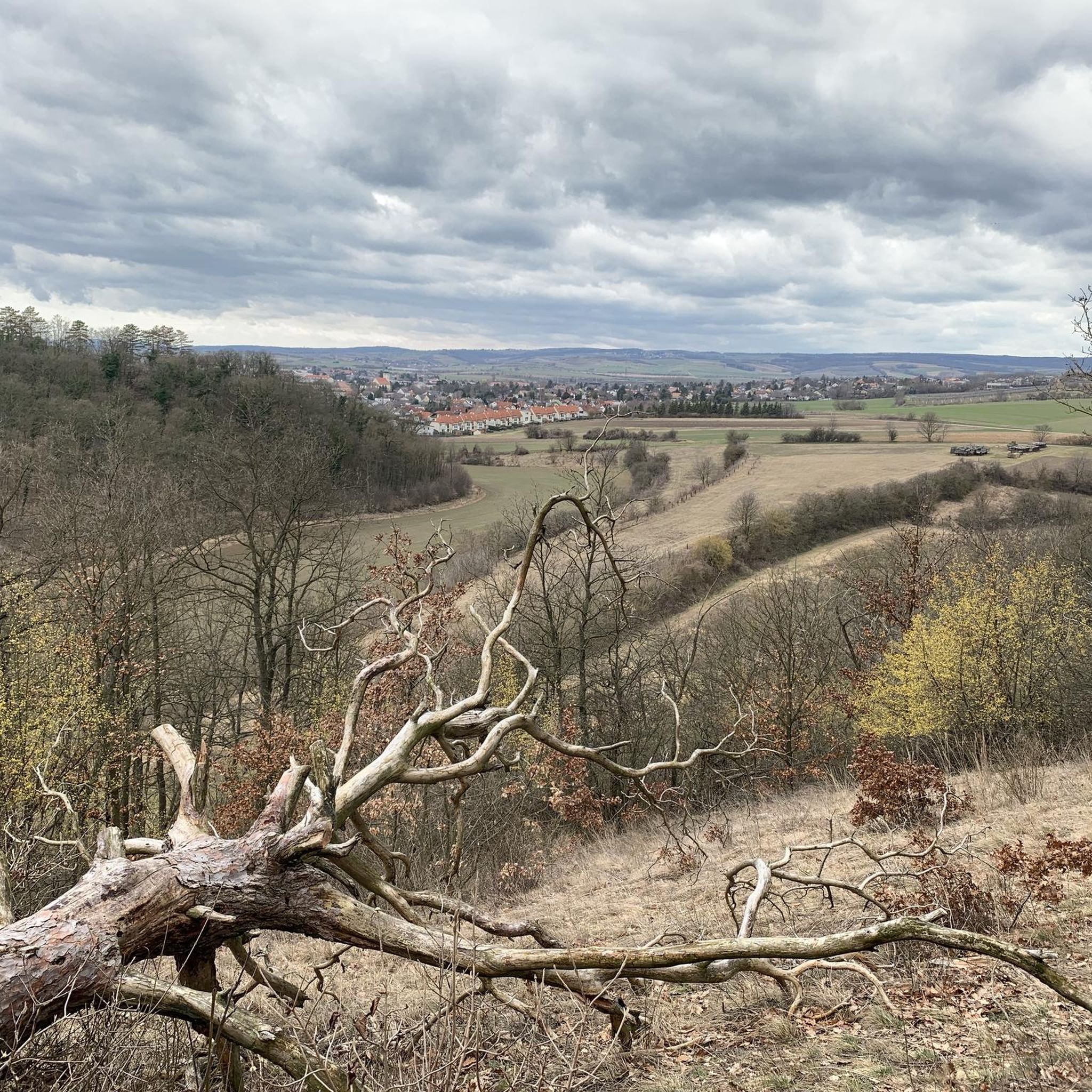
Tips from the Community

Simply beautiful. One can hardly believe that there are such beautiful and quiet places - so close to Vienna.
0
0
Dreamlike view and simply a beautiful area. Feel free to take a break at one of the regularly set up tables and benches and enjoy the peace and the view.
0
0

Gravel paradise, fine gravel, long straights, exciting curves.
1
0

An old railway line, flat, asphalted, partly shady
1
0

Ground squirrel hotspot - In the parking lot, ground squirrels will run over your feet.
0
0

The Marchfeld Canal leads through the Marchfeld region, the "vegetable garden of Austria" (as the sign says), to Schloss Hof, 62.5 km away. The partially gravelled paths offer a leisurely ride without any major inclines. The Marchfeld Canal is used for irrigation, and cycling along it, you can clearly see the effort that goes into making sure the lettuce or asparagus turns out the way it should... The information boards, which are placed repeatedly along the route, provide interesting information about the region. Approximately halfway along the cycle path, there is also a dedicated information center where you can get maps, etc.
1
0


It's a good place to go for a good pace here, as long as you pay attention to oncoming traffic. The bike path is interrupted by a road, so be careful of the barriers; they're not easy to see.
1
0
Frequently Asked Questions
What is the general difficulty level of gravel biking in Hochleithenwald?
Hochleithenwald offers a varied terrain suitable for different skill levels. You'll find a good mix, with 53 moderate routes, 11 easy routes, and 10 more challenging options. The landscape features extensive woodlands, gentle rolling hills, and agricultural paths, providing a diverse experience for all.
Are there options for long-distance gravel rides in Hochleithenwald?
Yes, Hochleithenwald has several routes suitable for longer gravel rides. For example, the On the cycle path – Nexinger Fish Ponds loop from Wolkersdorf is a substantial 74.6 km (46.3 miles) trail that takes around 4 hours 22 minutes to complete, navigating through diverse landscapes.
Where can I find parking for gravel bike trails in Hochleithenwald?
Many routes in Hochleithenwald start from towns like Wolkersdorf or Obersdorf. These locations typically offer parking facilities, making them convenient starting points for your gravel biking adventure. It's always a good idea to check local parking regulations upon arrival.
Is Hochleithenwald accessible by public transport for gravel bikers?
Starting points for many gravel routes, such as Wolkersdorf and Obersdorf, are generally well-connected by public transport. This allows for convenient access to the trails without needing a car. We recommend checking local public transport schedules for the most up-to-date information on connections to these towns.
Are there family-friendly gravel bike routes in Hochleithenwald?
Yes, Hochleithenwald features 11 easy routes that are well-suited for families or beginners. These trails often utilize agricultural paths and areas with gentle elevation changes, providing a pleasant and accessible experience for all ages. The region's extensive woodlands also offer shaded sections for comfortable rides.
What is the best time of year for gravel biking in Hochleithenwald?
The region's varied terrain, including woodlands and agricultural paths, makes it enjoyable across multiple seasons. Spring and autumn offer pleasant temperatures and beautiful scenery. Summer is also great, especially on routes with shaded forest sections. Winter gravel biking is possible, but trail conditions may vary, so checking local reports is advisable.
What kind of trail conditions can I expect in Hochleithenwald?
Gravel trails in Hochleithenwald are characterized by a mix of surfaces, including agricultural paths, forest tracks, and some open cycle paths. While elevation changes are generally moderate, some routes incorporate more significant climbs. Conditions can vary with weather, so be prepared for potential mud after rain, especially on unpaved sections.
Are there any cafes or rest stops near the gravel trails?
Yes, some routes pass by convenient rest areas. For instance, the Pillichsdorf Rest Area – Pillichsdorf Rest Area loop from Obersdorf is specifically named for its rest stops. Additionally, starting and ending points in towns like Wolkersdorf or Obersdorf will offer various dining and refreshment options.
What interesting landmarks or viewpoints can I see along the gravel routes?
Hochleithenwald offers a blend of natural and cultural points of interest. You can enjoy views from the Marian Wayside Shrine on Tetzenberg or pass by historical sites like Wolkersdorf Castle. The Wolkersdorf Castle – Karpatenblick Viewpoint loop from Wolkersdorf specifically highlights the Karpatenblick viewpoint for scenic vistas.
Are there any circular gravel bike routes in Hochleithenwald?
Many of the gravel routes in Hochleithenwald are designed as loops, offering convenient circular journeys. Examples include the Wolkersdorf Castle – Pillichsdorf Rest Area loop from Wolkersdorf and the Hirta Hut – Hochleithen Cycle Path loop from Pillichsdorf, allowing you to start and end in the same location.
What do other gravel bikers enjoy most about Hochleithenwald?
The area is highly rated by the komoot community, with an average score of 4.6 stars from over 40 reviews. Reviewers often praise the diverse terrain, which includes extensive woodlands and open fields, and the well-maintained agricultural paths. The mix of natural beauty and cultural points of interest also contributes to its popularity.
Most popular routes in Hochleithenwald
Most popular attractions in Hochleithenwald

Get inspired with the komoot mobile app


Explore more
Browse the best Gravel rides in other regions.
